Dirdal
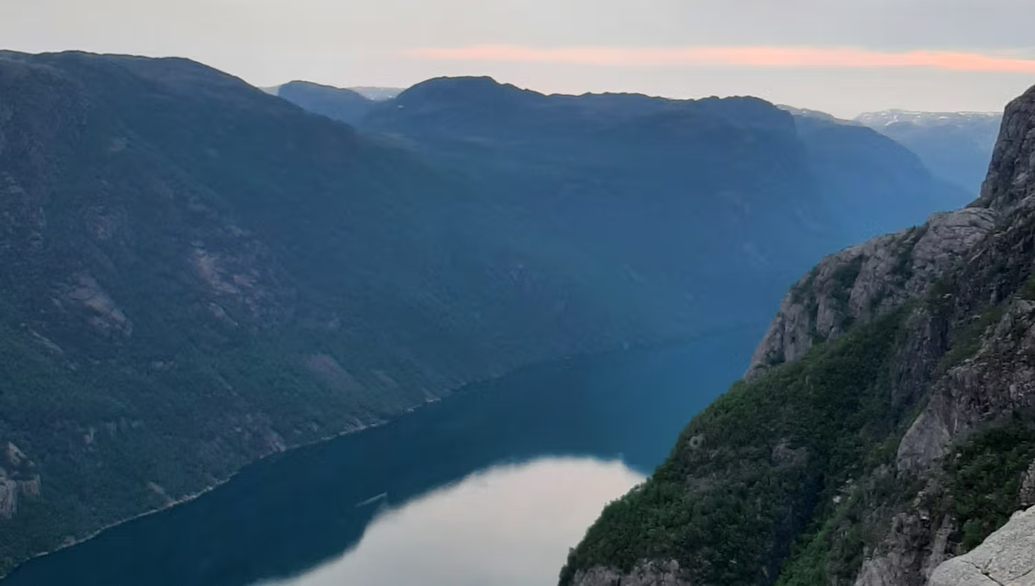
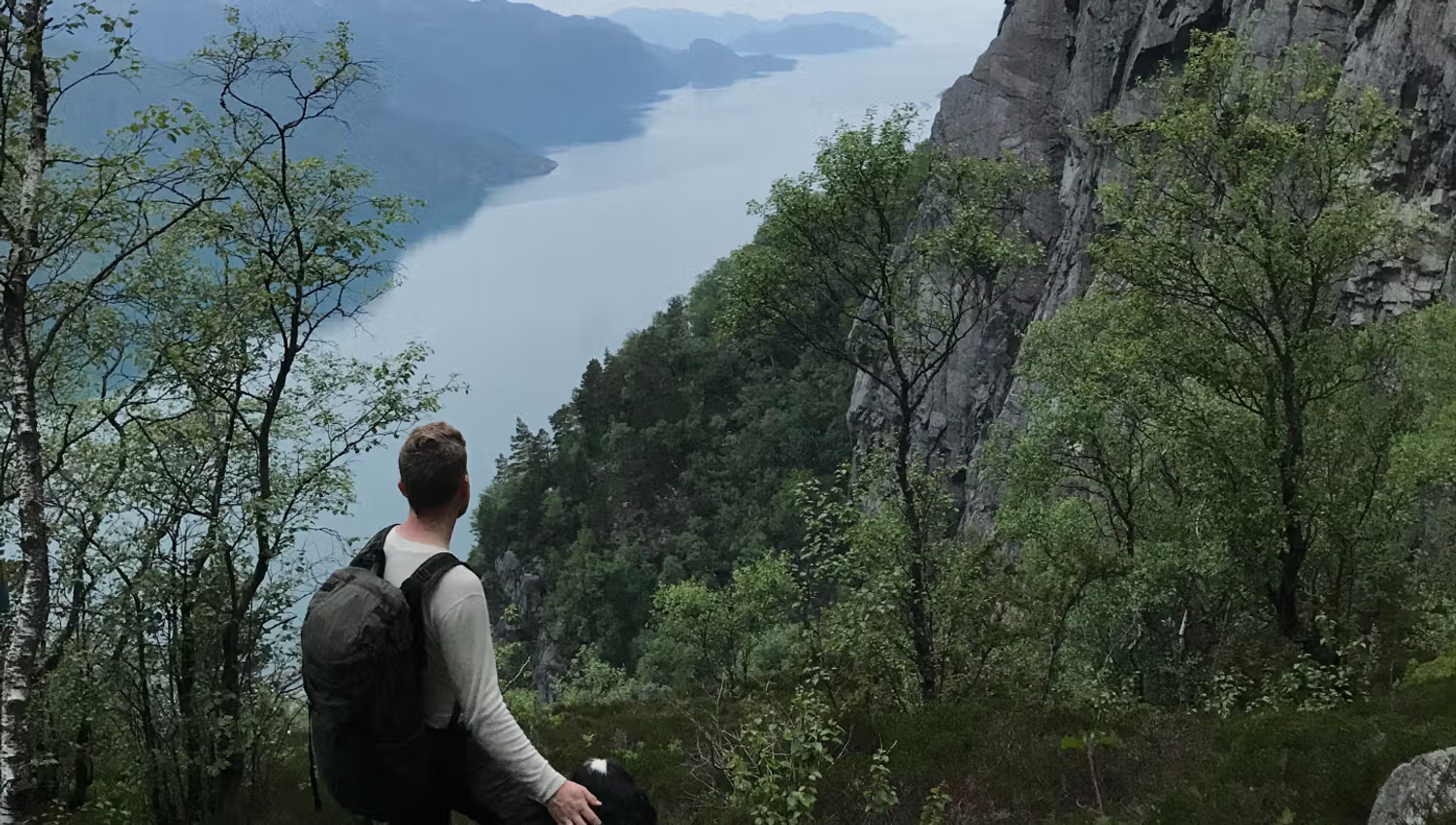
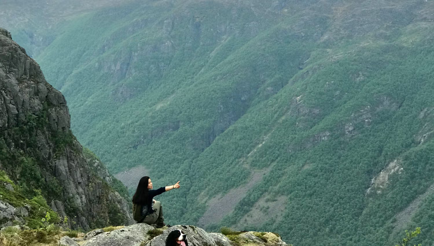
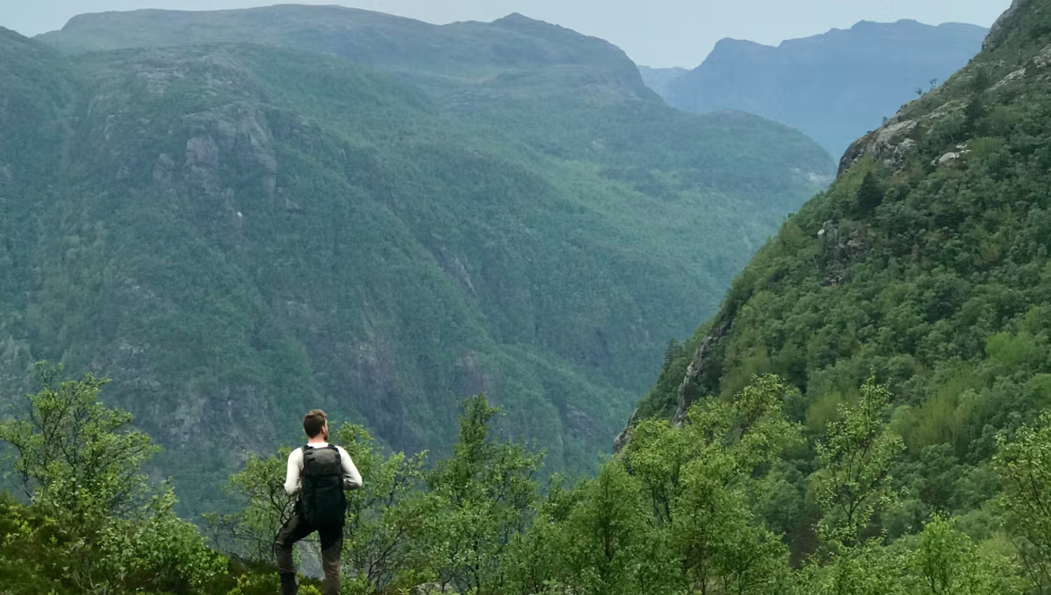
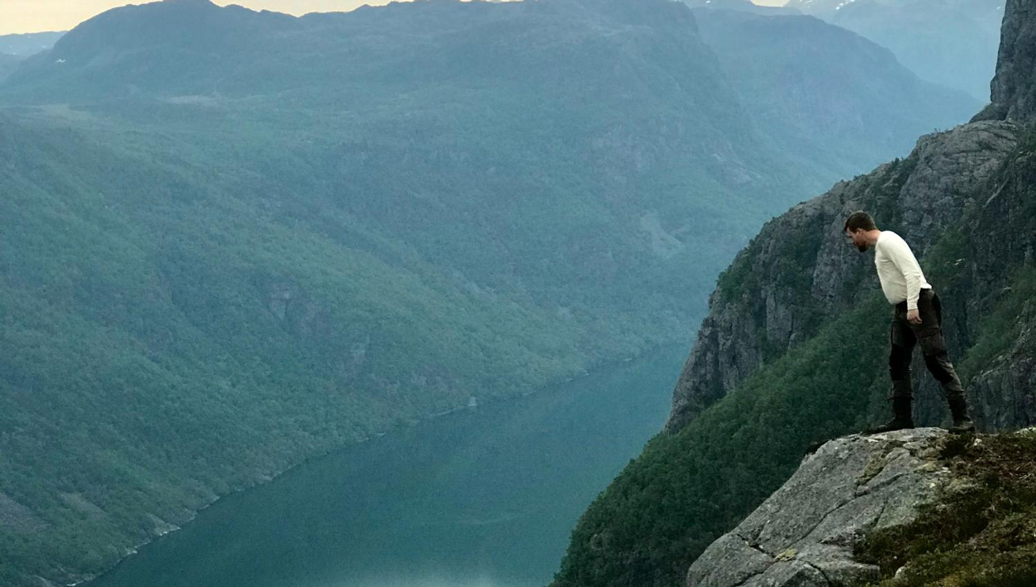
A hike in Frafjordheiene, with a magnificent view of the Høgsfjord and towards the Frafjord. A new Instagram favourite!
The hike to Ramnstoknuten is signposted from the Dirdal marina. The summit is at 562 m.a.s.l. The actual hike is not that far in length; however, there are some altitude metres to climb! You will need to cross the river Dirdalsåna via a footbridge. After the bridge, the trail is signposted to the top.
Two alternative paths to Ramnstoknuten
Along the way, you will have two alternatives for the hike: via Skaret or via Padlane. Via Skaret is the shortest, but also the steepest route. After the first climb, you are rewarded with a view of the Høgsfjord, where the two fjords Frafjord and Høgsfjord meet.
The hike can be done all year round, provided that there is not too much snow. The whole hike is 6,5 kilometres and takes approximately 5 hours.
-> Read also: The Lysefjord: A Hiker’s Paradise.
Plan your challenging mountain hike
Ramnstoknuten is a challenging hike with a significant climb. Check the weather and local conditions before setting off, dress appropriately for the conditions and wear sturdy footwear. Bring a map, food and plenty to drink, and set off early enough to be back before dark. Choose a different route if the weather or going is poor.
See also Stay safe in the mountains, packing list for mountain hikes and the Fjord Pledge.
Source: Region Stavanger