Ørje
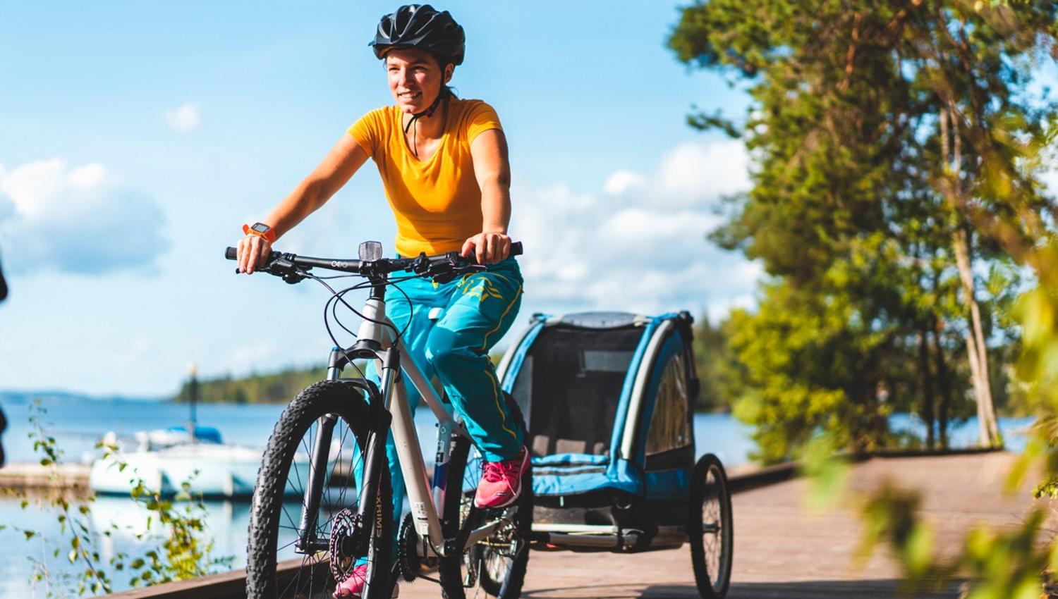
The Wilderness Route is a great nature experience suitable for adults who are used to cycling, or possibly young people aged 13-14 who are used to cycling.
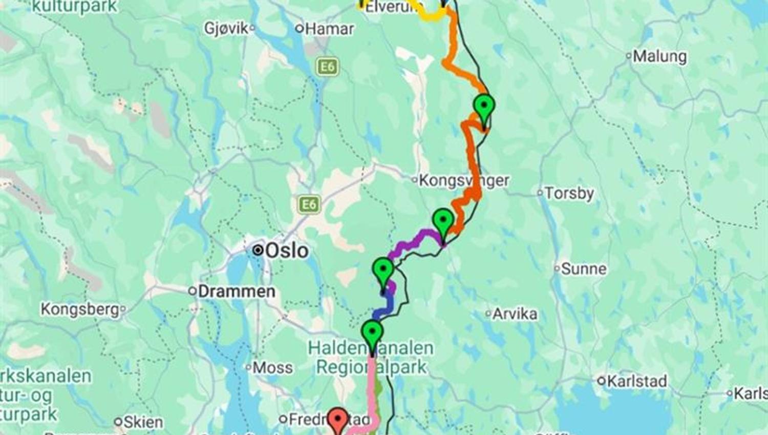
About National Cycle route no.9 from Elverum to Halden (355 km)
National Cycle Route No. 9 is known as the Wilderness Route and stretches from Trondheim to Halden (or the other way around). The cycle route passes through the easternmost parts of Innlandet, Akershus, and Østfold, often close to the Swedish border. The full route is around 800 km long. The route is not signposted north of Trysil.
Under we only present the southern section of Route no.9: Elverum–Halden.
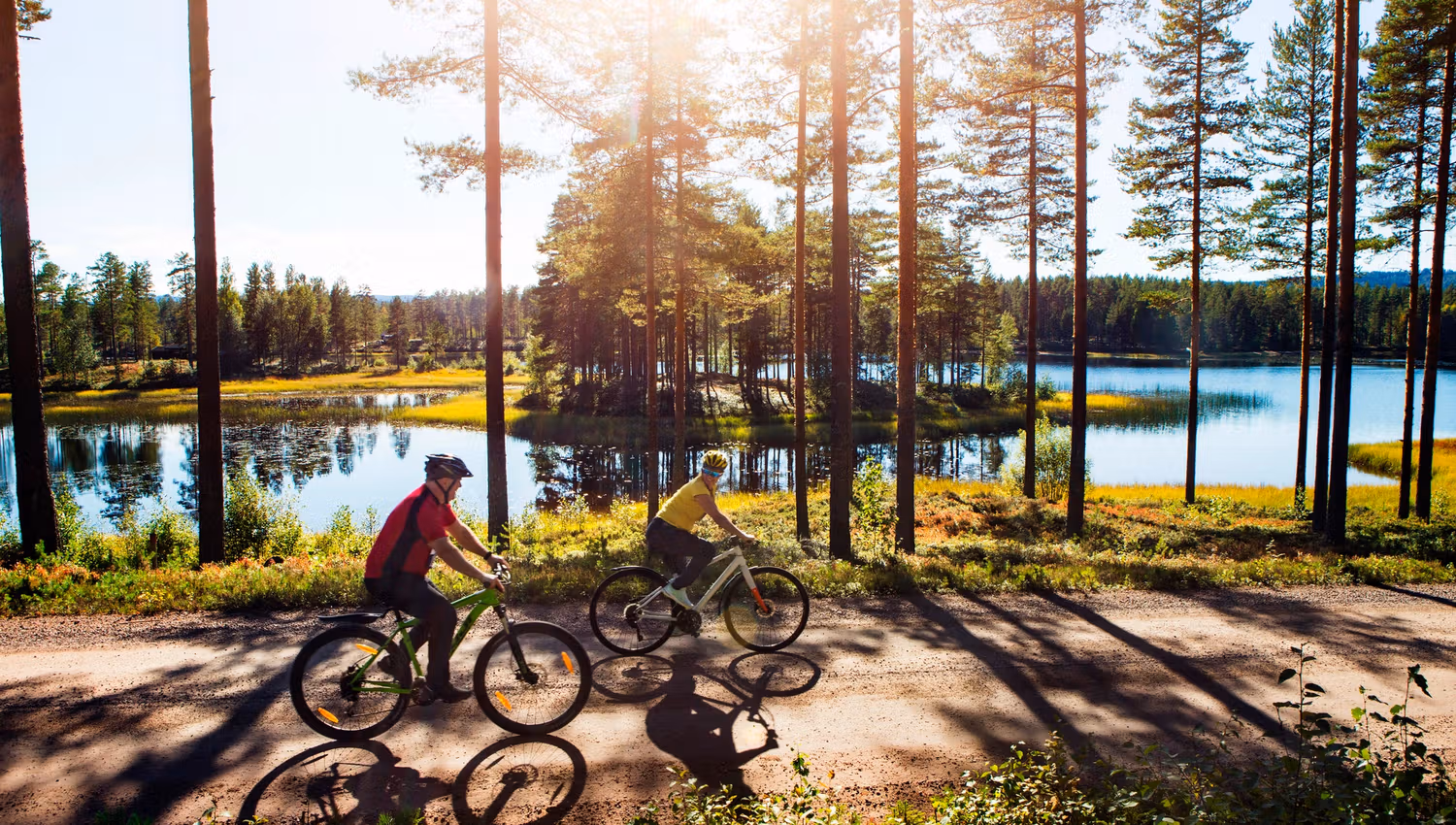
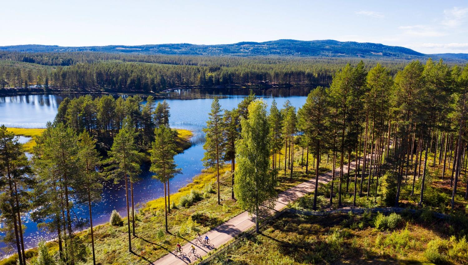
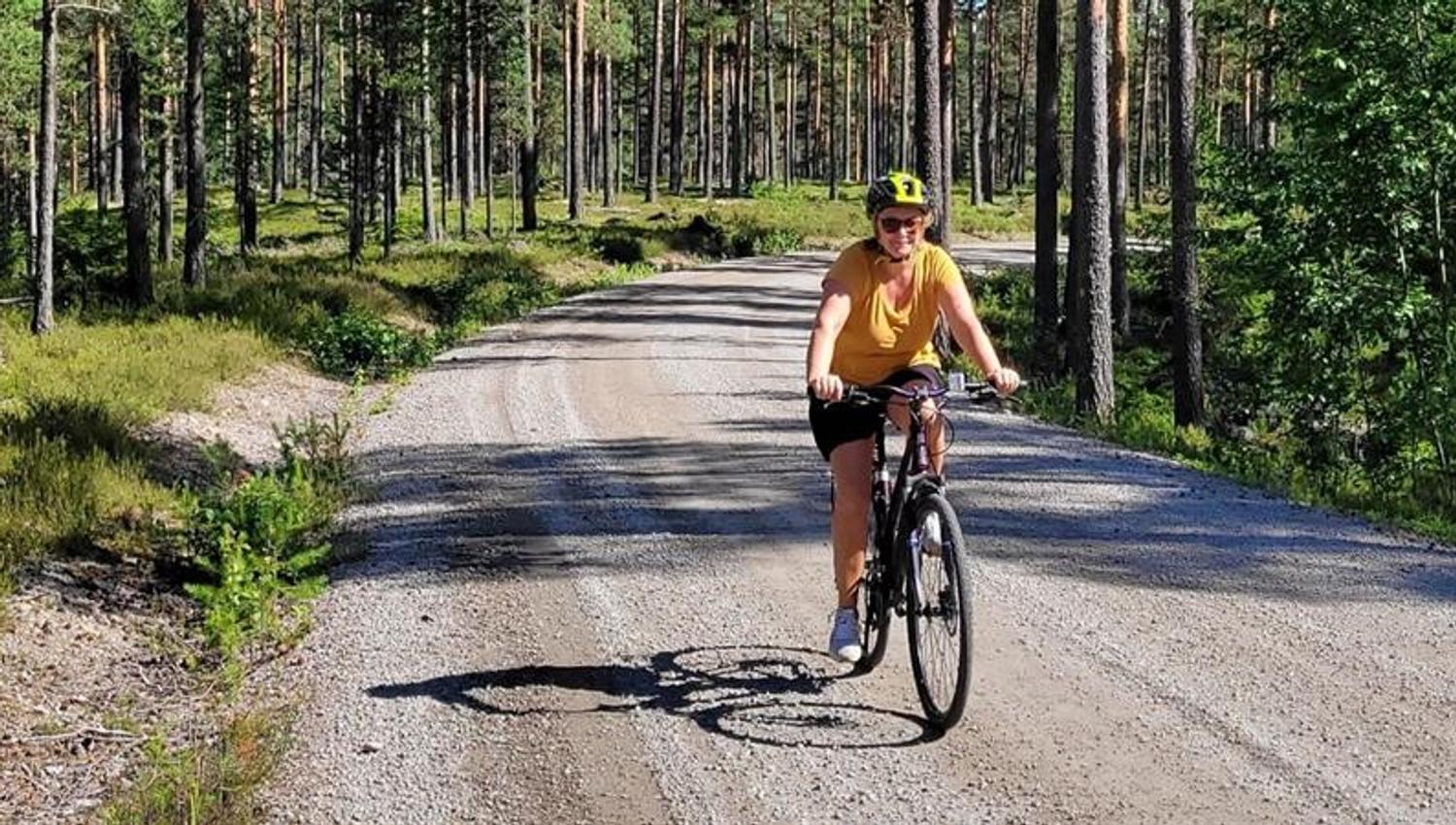
The Wilderness Route offers a great nature experience suitable for experienced adult cyclists, possibly accompanied by cycling-savvy teenagers from 13–14 years old. True to its name, the route mainly passes through areas dominated by forests and lakes. If you want to experience silence and long stretches practically free of car traffic, then The Wilderness Route is for you!
Please note! In the northern part of the route, there are no major towns along the way, and there can be long distances between grocery stores, restaurants, and other services. Further south, the trail takes you through the town Ørje, with grocery stores, dining options, and services. There is not far from the track to the shops in Aremark. You should therefore be well prepared, with sufficient equipment and food/drink. Remember also to bring a spare tube, pump, and some tools for the journey.
Click here to read a presentation of the Wilderness Route
Practical details and info
Map
See the digital map and elevation profile in the RideWithGPS-app
See the digital map and elevation profile in the Komoot-app
See digital map and elevation profile on Google Maps (including accomodation)
Challenge level
Moderately demanding because of the longer daily stretches, but with many easy cycling sections along the way.
Place names along the route
• Start: Elverum train station | Target: Halden city centre
• Route: Elverum - Hernes – Sørskogbygda – Gravberget – Velta – Fallsjøen – Røgden – Svullrya – Varalden – Skjærvangen – Rømsjøen – Ørje – Strømsfoss - Aspern - Halden
Distances and elevation
• Distance: 355 km
• Total ascent: Approximately 4,000 meters of elevation gain, with 300 - 700 meters of elevation per day's stage. (There are few really steep slopes.)
Terrain
• About two-thirds asphalt
• One third dirt/gravel road. Somewhat varying substrate quality.
Car traffic
Varying, but generally little car traffic. Some traffic up to Ørje, less further on to Skotterud, further north there is less, long stretches are almost completely traffic-free.
Signage
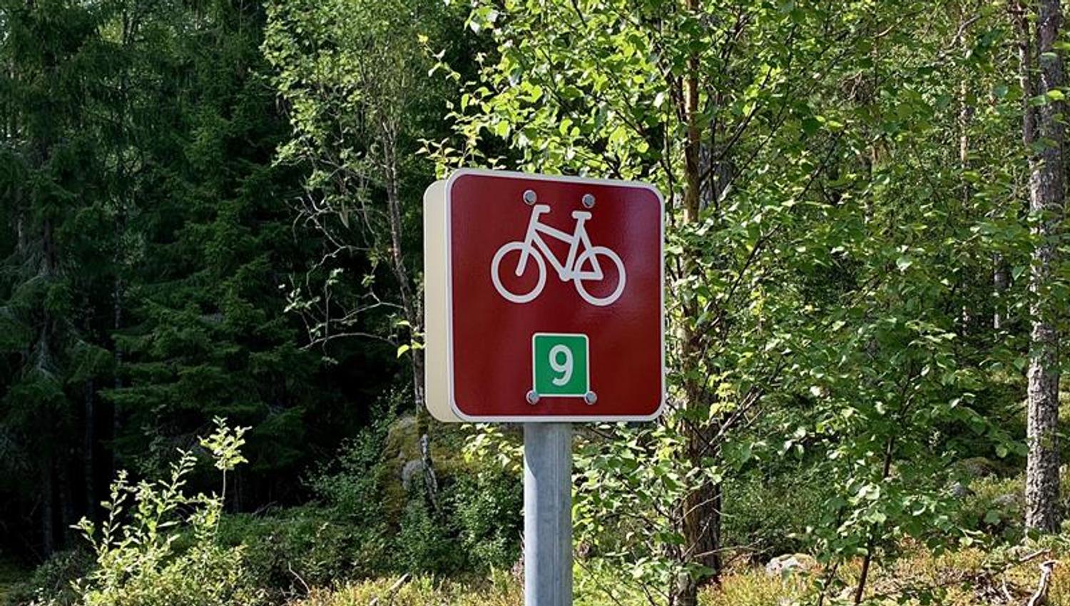
• The route is signposted as a national cycle route and has burgundy-coloured signs with a cycle logo and the number 9.
• There are some deficiencies in the signage. Remember to dowload the GPX-file to your mobile or GPS-device and bring a map.
Recommended bike type
• Mountain bike with low studded tires, gravel bike, or hybrid bike with slightly wide tires, 40 - 45 mm.
• Shock absorbers are not required.
Charging and electric bikes
• Charging points are relatively far apart, and the Wilderness Route is less suitable for e-bikes, especially in the northern section.
• Simple measures to extend the range of an e-bike can be to ride with reduced battery assistance or to bring an extra battery.
• In Ørje you will find a charger outside the tourist informasion, open 24 h.
Public transport
There is a train connection between Elverum and Hamar with connection to Oslo/ Gardermoen (check departures in advance), and trains from Halden.
Bike rental
The nearest bike rental is available in Hamar (the Tourist Office in Hamar) or Lillehammer (Hafjell). There is a train connection from Elverum to both Hamar and Lillehammer. There is also a bike rental in Ørje if you decide to do part of the bike route.
Luggage transport
There is no luggage transport service along the Wilderness Route.
Tour description
If you cycle the Wilderness Route, you cycle close to nature the whole way. When you start in Trysil, the first half of the route leads through the Finnskogen forests. Here you cycle on wide dirt roads and you pass various lakes and ponds, waterways, large pine forests and a number of hills of 4-600 meters in height.
It is a vast and relatively untouched outdoor paradise, characterized by an absence of settlements. Here you can cycle long stretches without meeting anyone and the silence in these forests is striking. In this part of Finnskogen, there are a number of campfires, simple rest areas and gaping huts at several of the ponds along the route. On the hiking maps of Finnskogen, you will see that these places are marked.
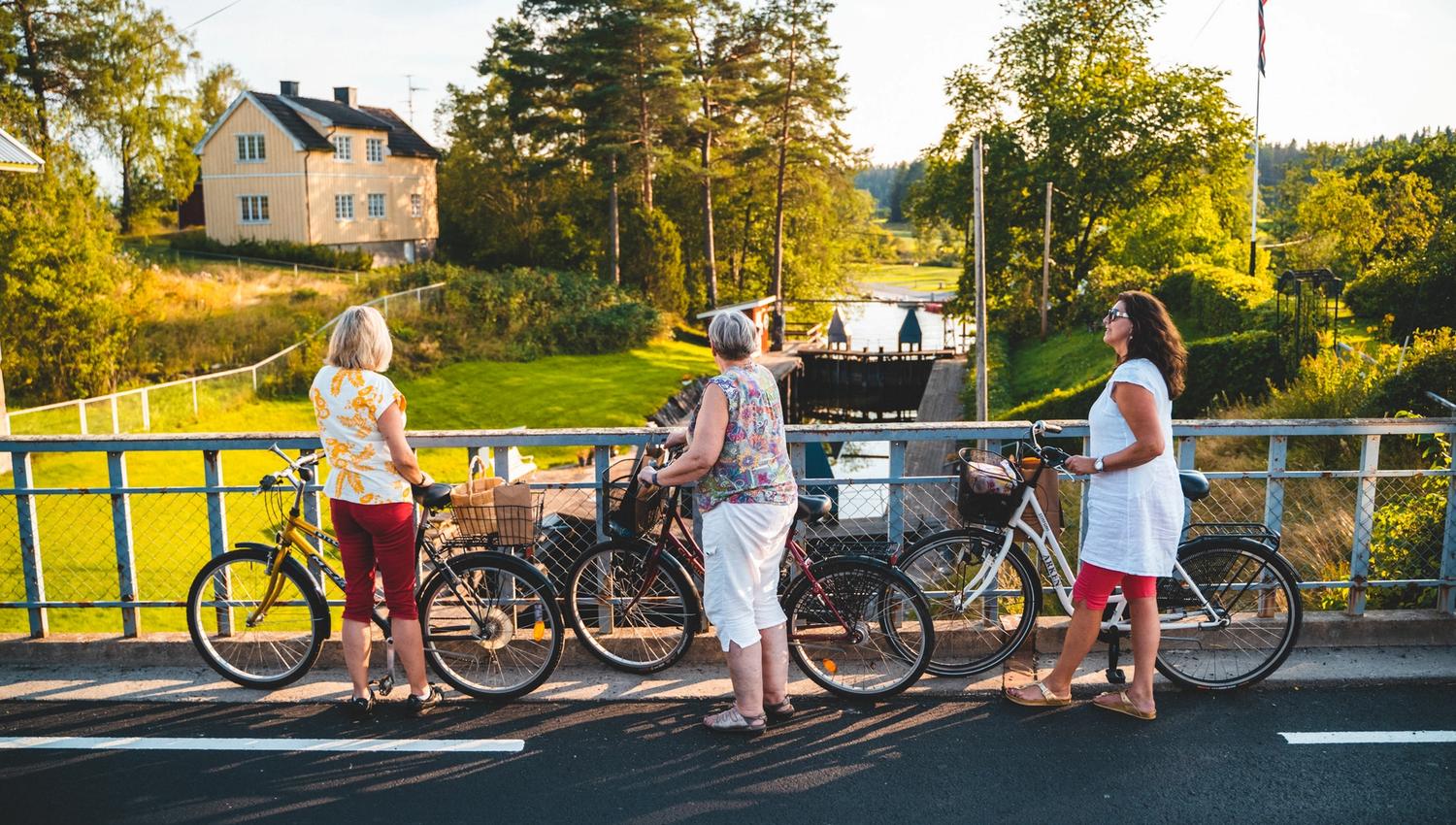
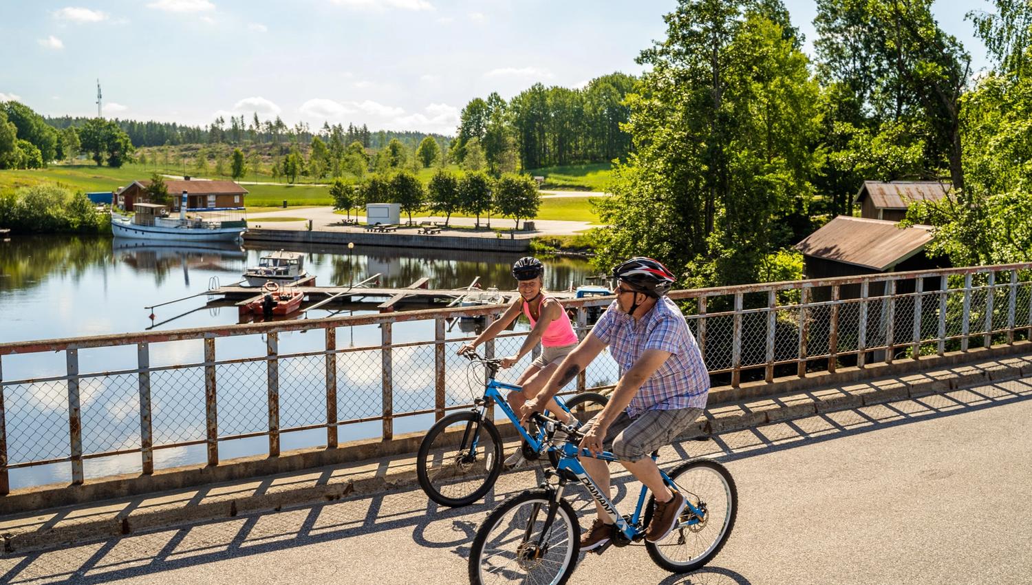
The southern half of the Wilderness Route runs more through cultural landscapes and through a several hamlets and small towns. Here, the service facilities are also more frequent. In Ørje, for example, there are several eateries and frocery stores, as well as the only sports shop before reaching Halden.
From Ørje and further south, the route follows the Halden Canal, where you can see a number of cultural heritage sites and information boards from the time when the canal and boats were an important transport artery for both people and goods. Feel free to visit the locks at Ørje, Strømfoss (very short detour) and Brekke (2 km detour). Today, the canal is mainly used for tourist traffic with several boats in operation.
Recommended stages
Below you will find daily stage proposals with descriptions.
• National cycle route no.9 day 1: Elverum-Gravberget Gård
• National cycle route no.9 day 2: Gravberget Gård - Finnskogtoppen
• National cycle route no.9 day 3: Finnskogtoppen - Magnor
• National cycle route no.9 day 4: Magnor - Rømskog
• National cycle route no.9 day 5: Rømskog-Ørje
• National cycle route no.9 day 6: Ørje-Halden
Day 1 - 3 Read more about Øst Norge
Day 4 - 5 Read more about Akershus
Day 5 - 6 Read more about Indre Østfold and the small towns Ørje and Strømsfoss that you pass
Day 7 Read more about Halden
• See the entire National cycle route no.9 from Elverum to Halden
Source: Visit Indre Østfold