2
Emberlandsnipen trail


The popular hiking destination Emberlandsnipen (271 masl) can be reached from four angles.
The popular hiking destination Emberlandsnipen (271 masl) can be reached from four angles. From Emberland (western side) and Sætre (eastern side) the hike takes approximately 30 mins on a partly steep path. From the north, starting from Stølen in Auklandshamn, the hike takes 1 - 2 hours through more even wood- and uncultivated terrain - some wet areas.
Place: Emberlandsnipen, Auklandshamn Hiking map: Sveio (1 : 50 000) Start and stop: Alt. 1: From Sætre by Langavatnet, appr 2,5 km from E39 with exit at Rød Alt. 2: From Stølen in Auklandshamn Alt. 3: From Emberland. Drive towards Buavåg and take the exit to Åsbu/Emberland at the at the crossroads north of the ferry quay. Keep to the right where the roads divides. The path starts at the farmyard by Emberland.
Parking: Alt. 1 Sætre: Parking at the bathing spot by Langavatnet, appr 1 km north of the starting point Alt. 2 Stølen: Parking by the shop or the school Alt. 3 Emberland: By the road, prior to the farmyard. There is no parking lots, so please show consideration and respect!
Labeling: Info table at all starting points. Signs, but the path is not labeled. The path is relatively easy to see. Classification: Blue Altitude: 45 - 271 masl.
Time/duration: Alt. 1 and 3: roundtrip 1 hour Alt. 2: 2 hours - roundtrip
Season: All year Equipment and clothing: Good hiking shoes or boots. Some wet areas, particulary at the path from Stølen. Signs: Info board with map by the parking lot. Signs with arrows where the path parts. Sign at the top.
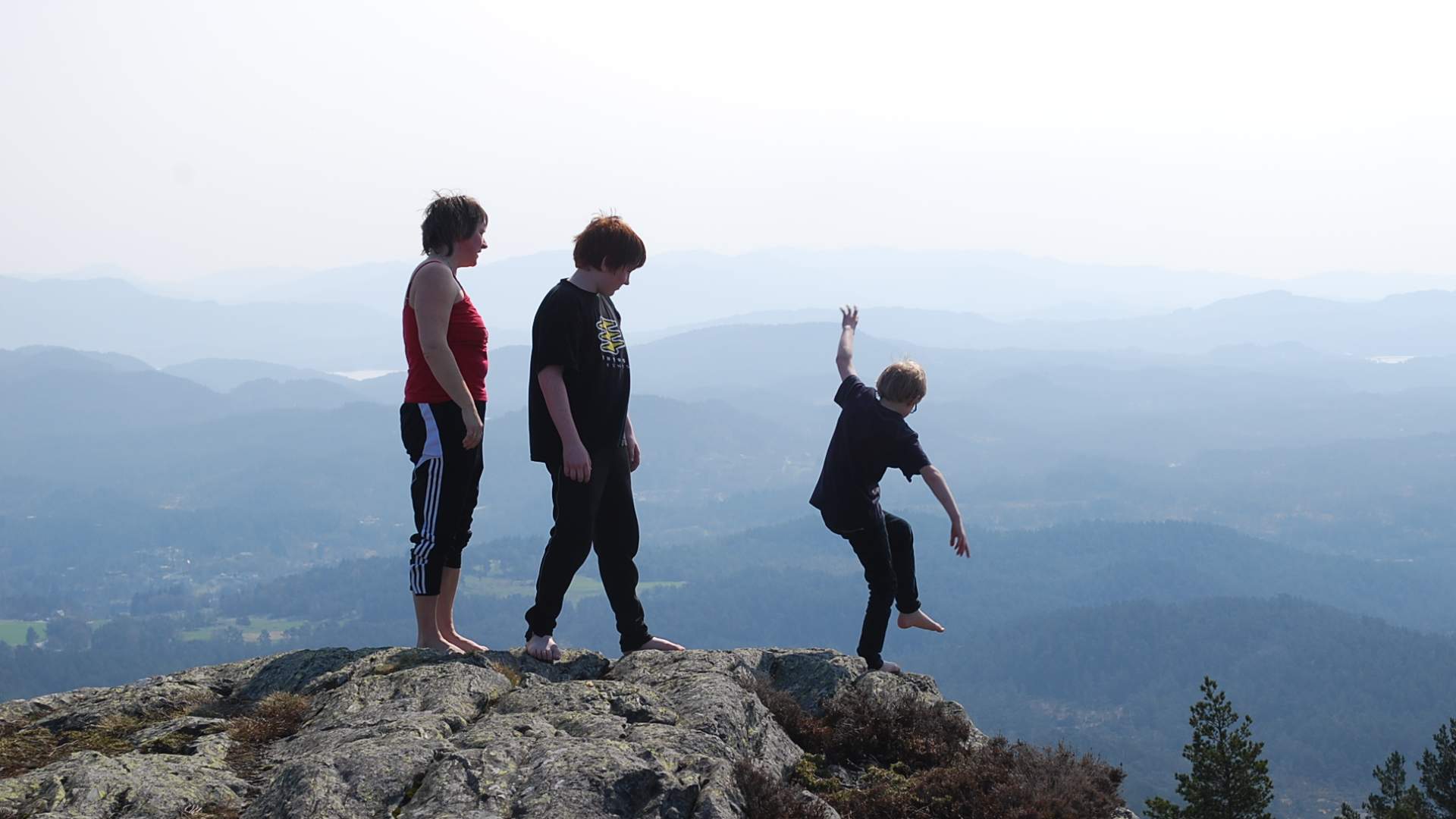
Tour description: The shortest hike is the one from Sætre (alt. 1). The path from Sætre is easy to walk - except for the steep and rocky section just before the top. From here yue have a wonderful view over the Bømlafjorden, Førdebygda, Sveio, Stord, Tysnes, Folgefonna (glacier) and the region. The walk from the shop or the school at Stølen (alt. 2) in Auklandshamn is easier to walk, but approximately twice as long. At the start the hike goes by Tvillingtjødnane, Skartjødno and Skinntjødnane where you on days with no wind might see fish jump in the water. It is also nice to hike from Emberland at at oposite side of the mountain. To find the starting point here, you have to know it - as ithe path leads through a farmyard.
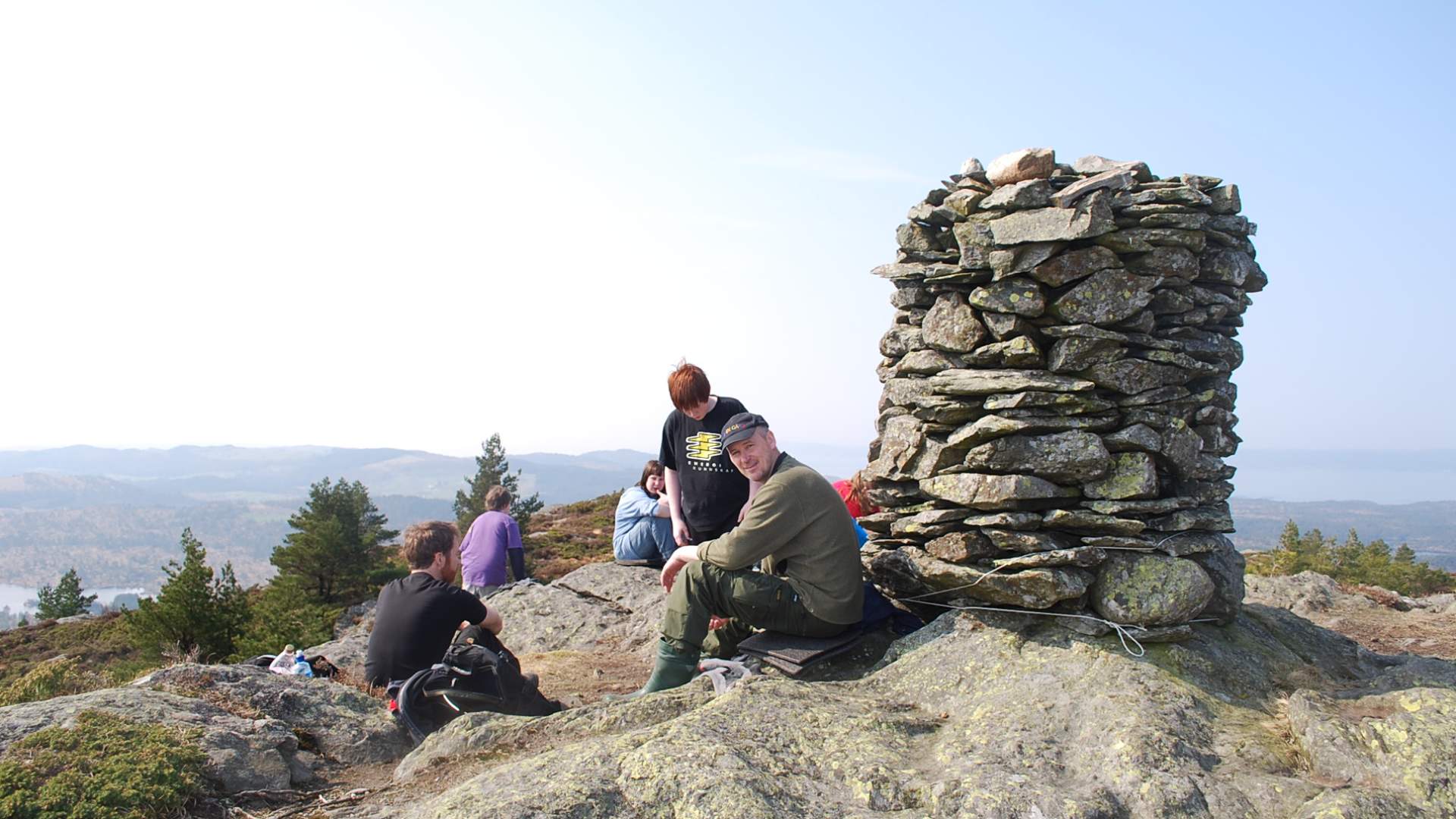
By the cairn there is a box where you can sign your name in the book "Nipeboka" - which Auklandshamn Idrettslag has put there.
(Last updated 27 aug. 2018.)
- All year
Source: Samarbeidsrådet for Sunnhordland
Emberlandsnipen trail