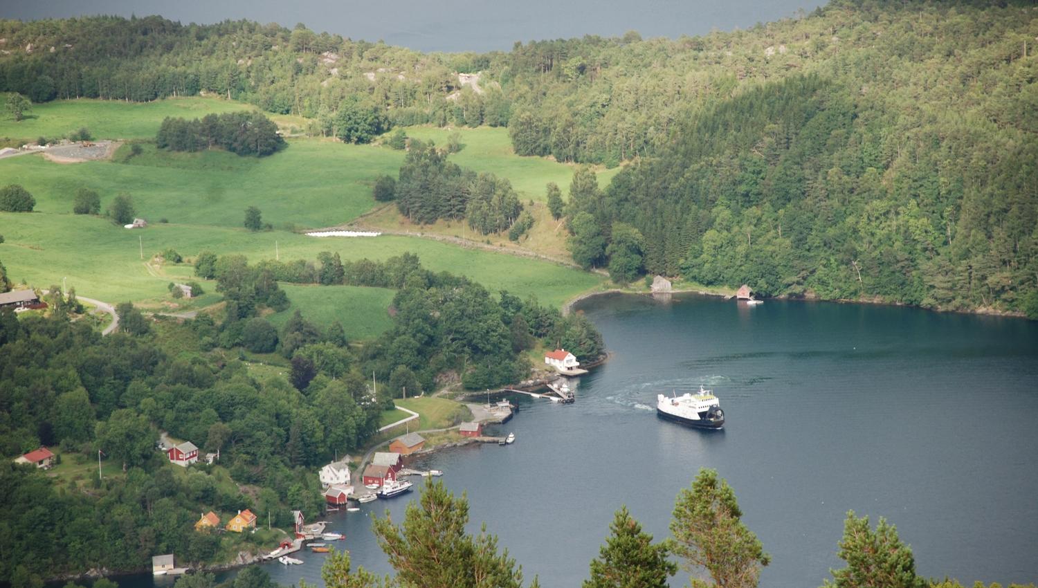
Fjelberg
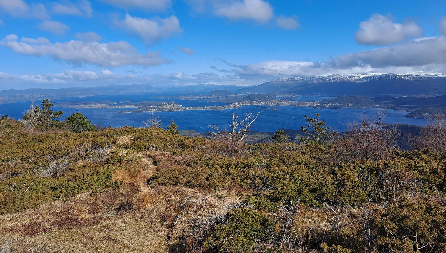
The hike to Borgundnuten i a bit steep. At the top you get a view in all directions.
Location
Sjøstovo by the ferry dock at Borgundøy.
Map
Fritidskartet Halsnøy–Fjelberg, scale 1:20 000
Start and stopping point
The ferry dock/guest marina by Sjøstovo at Borgundøy.
Parking
Drive past the traffic roundabout at Tofte and turn towards Sydnes. Turn right towards Sydnes in the Landa Intersection 500 meters past the traffic roundabout. There is a parking lot by Sydnes ferry dock at Halsnøy for those who travel by ferry.
Round trip/Borgundøy
You can also bring your car via the ferry, and drive up to the parking lot 150 ASML by Furehaugen at the old Aksdalsvegen road. Those who travel with their own boat are welcome to use the guest marina by Sjøstovo.
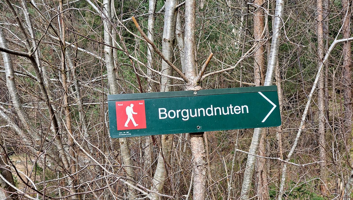
Marking
Information board by Sjøstovo/ferry dock. Necessary signs along the road. The T markings begin at the parking lot 150m AMSL.
Grading
Red Moderate hike, three boots according to the DNT system.
Difference in altitude
0 - 462m AMSL
Estimated time
3 hours round trip
4 hours if you choose the round trip, see under "Overview".
Recommended advice
The round trip is recommended, see under "Overview".
Overview
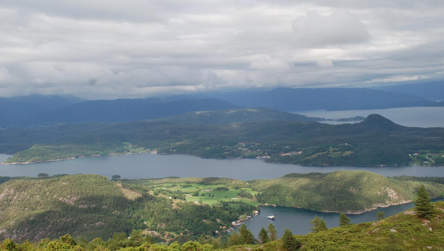
From Sjøstovo, walk the road up towards Brekke school and the intersection at the highest point. Turn right onto the forest road right before the intersection. Follow the forest road for 300 meters to the parking lot, and from there on the quality path to the top through Storaskar. If you wish to extend the hike and turn it into a round trip, you may follow the marked path on the ridge down towards the north. This path goes down to the field by Kattanakken and out towards the view points at Aske and Aksdal. Walk further on the path and forest road down to Møllesvik, and on the forest back towards Krekjahaugen and the ferry dock/guest dock. Møllesvik is very idyllic, and Krekjahaugen is one of the most extraordinary burial mounds from the Migration Age that has been found in Sunnhordland.
Source: Region Sunnhordland