Hike to Nordlifjell
Hike from Rosendal to Nordlifjell.
Rosendal.
MapFolgefonna National Park Rosendal Turgruppe's route map.
Start and stopping pointBjørke.
ParkingBy Kvinnherad church
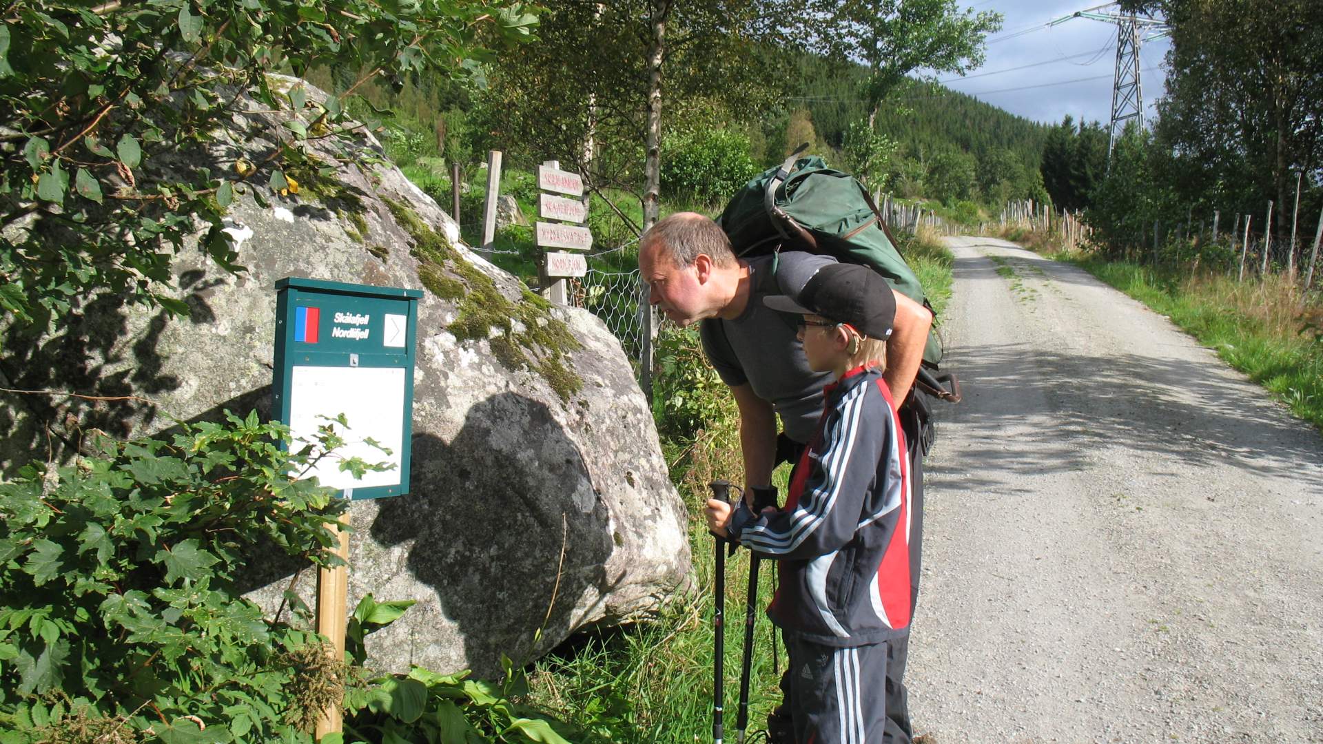
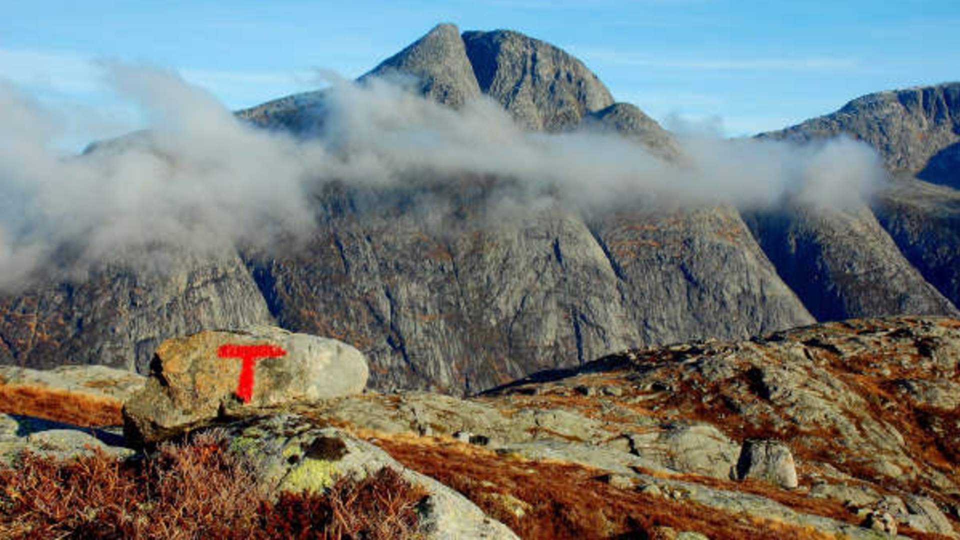
MarkingThere is an information board at the turnaround 150 meters before the arm barrier at Bjørke. From there a gravel road with no markings for 3 km to the sign 100 meters before the end of the road. The path is T marked and has signs from here.
GradingRed Challenging hike, four boots according to the DNT system.
Difference in altitude100 - 972m AMSL
Estimated time6 hours round trip
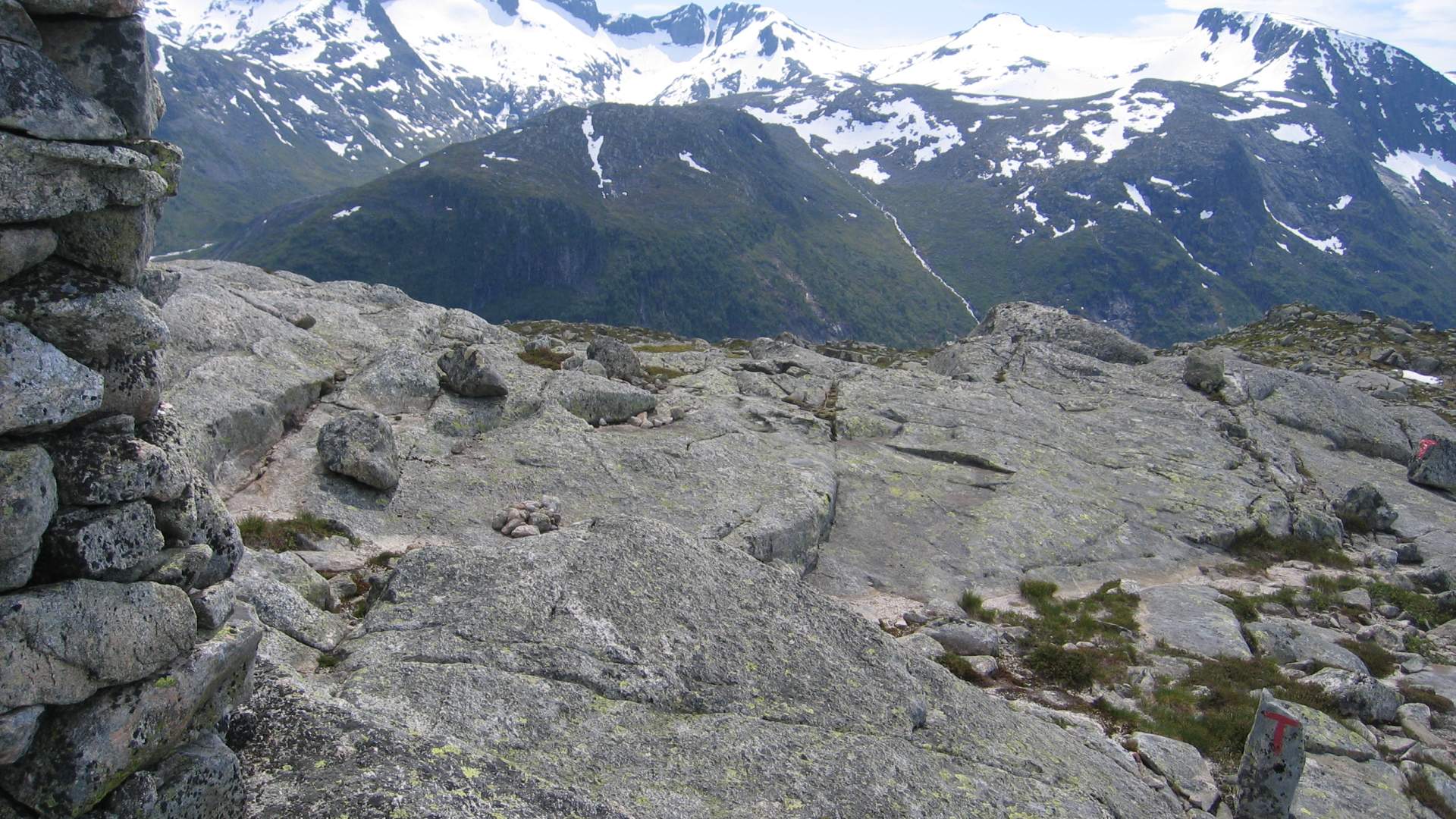
Recommended adviceOn the mountain ridge you will meet the T marked path coming from Vevik, Skjethaug/Neslia, Åsvodl and Kjeldestøl. From Nordlifjell there is also a T marked path down to Lake Myrdalsvatnet and along the lake to the lake outlet and the gravel road to Kletta. See Rosendal Turgruppe's route map and use your imagination to create interesting hikes.
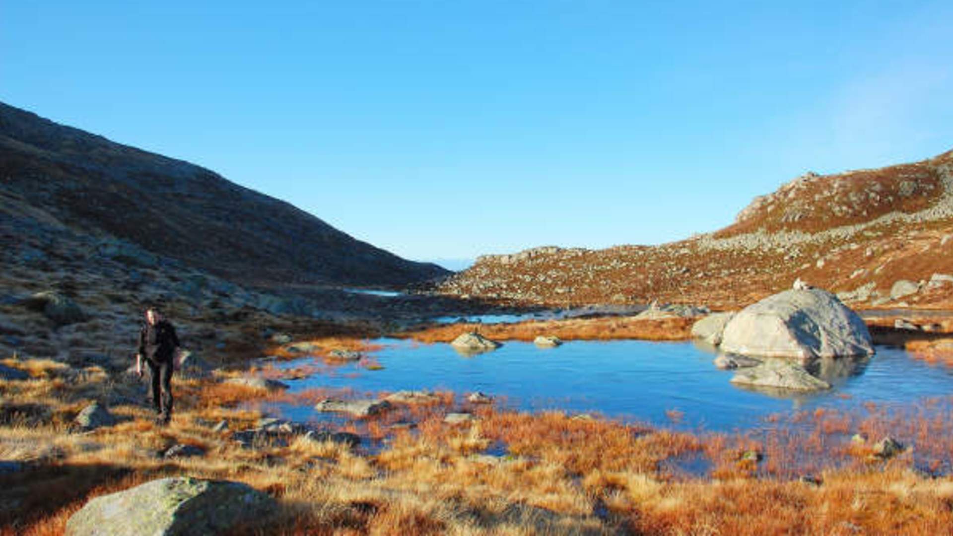
OverviewFrom the parking lot by the church it is 500 m to Bjørke. From there a gravel road with no markings for 3 km to the sign 100 meters before the end of the road. From here the route is T marked, first on a forest road and then a path down to the fjord. Further along the mountain ridge to Nordlifjell. The majestic fjord and mountain nature at the 3rd longest fjord in the world, the Hardanger Fjord, dominate the view for this hike. The transition from ocean and islands in Sunnhordland to fjords and mountains towards Hardanger is a beautiful experience.
Source: Samarbeidsrådet for Sunnhordland
Hike to Nordlifjell