Hiking to Nipkollen in Nannestad

Local summit tour on trail.
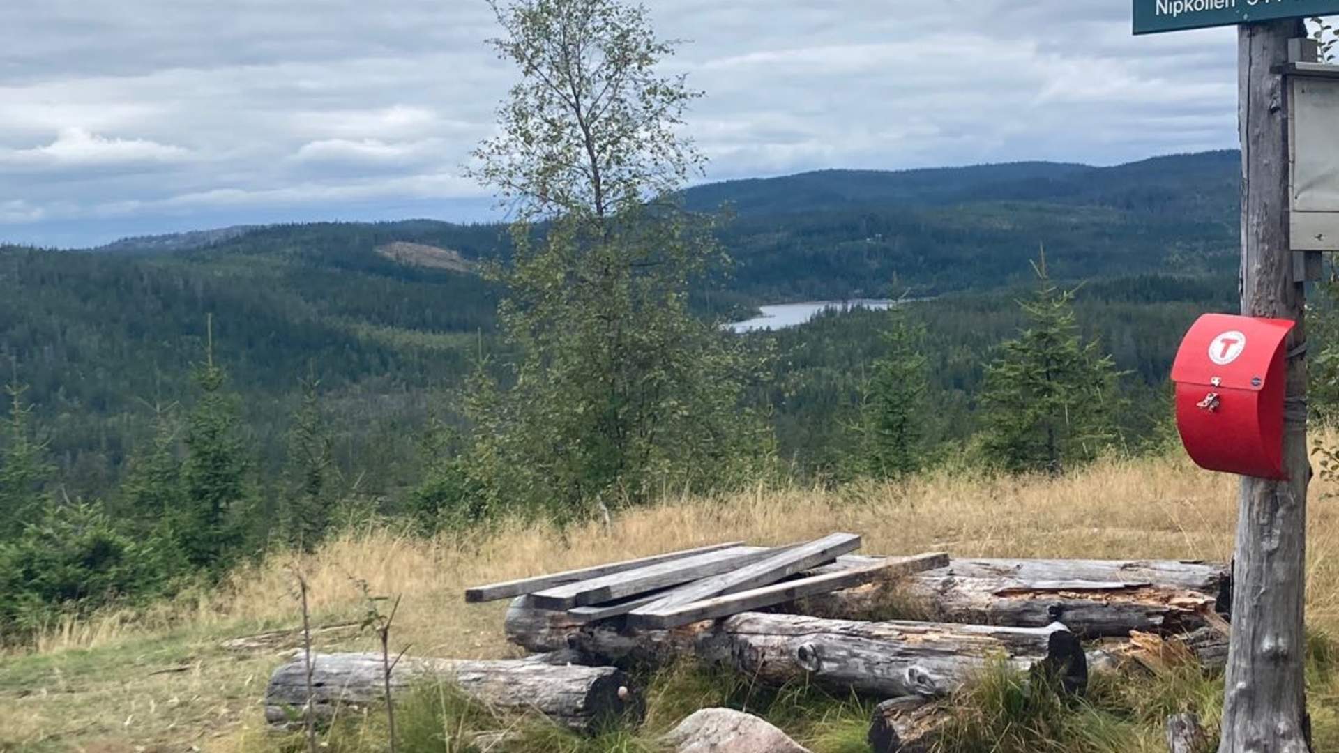
Nipkollen is 544 meters above sea level in Nannestad municipality, at the top there is a view to the north and west. There is a blue-marked path right up to the top, it can be a bit far between the markings in some places. The first 2 km is a steady climb and you walk on a good path all the way.
To get there take the E16 towards Gardermoen and Hønefoss, take the exit towards Maura and drive through Maura and up towards Nordåsen, turn in at Rema1000 and Esso. After 1.5 km there is a roundabout (turning place for the bus), turn right at the roundabout where you will find a small car park at the top of Holkebylia. It might be a good tip to enter Kløvberget Terrasse on the GPS.
After parking, return to the roundabout and follow the road 50 m back down, the walk starts at the edge of the forest on the right. You see a sign for Nipkollen, which is in the forest next to the residential buildings there.
You won't regret the altitude gain when you reach the top, it pays off in the form of a fantastic view!
Source: Visit Greater Oslo
Hiking to Nipkollen in Nannestad