Sauda
Nice round walk in lush cultural landscape. View of the fjord and the mountains. Past a series of barns and sheds, each with its own unique history.
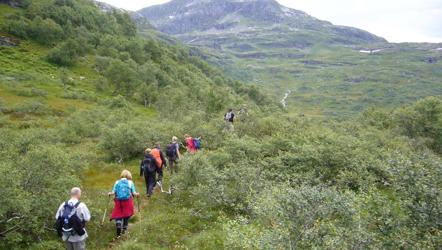
The hike up to Maldalsstølen offers great vantage points and wonderful nature experiences along the way, making this hike worth a visit for young and old alike.
How long is the hike to Maldal?
The hike is a medium-demanding hike, which is a great nature experience for the family. It's about 7.5 kilometres long and takes around 3 hours. The hike ends at Maldalsstølen, where you are 750 metres above sea level.
How do you get to Maldal?
Make your way to Maldal, a small mountain valley 9 km from Sauda town centre in Ryfylke. Drive by car from Sauda town centre, follow signs to Maldal from fv. 520, turn towards Maldal just after the factory. The tour itself starts at the car park in Maldal, approximately 450 metres above sea level.
When is the season for Maldal?
The season for this tour is from May to October.
Tour description
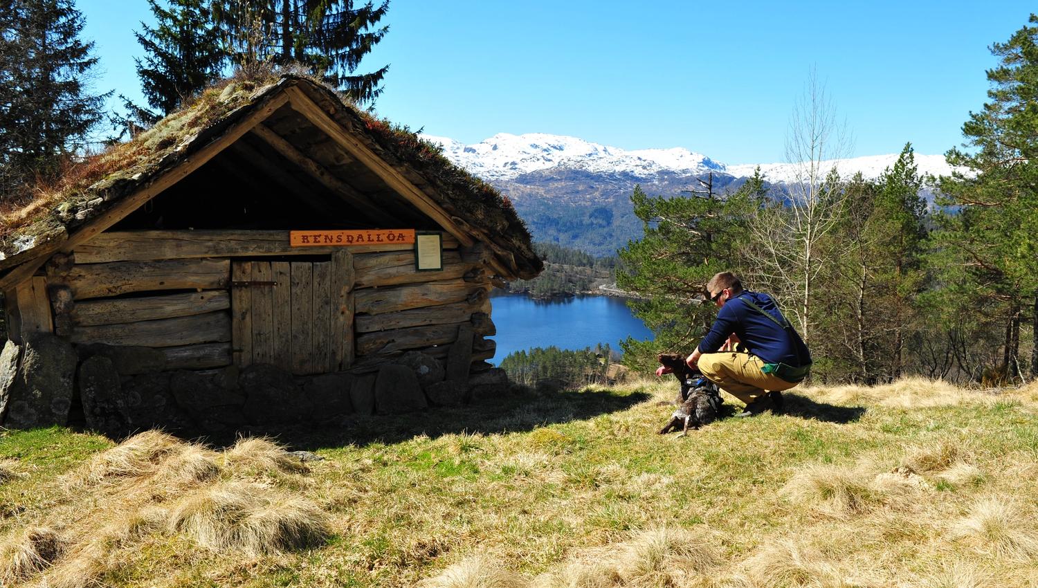
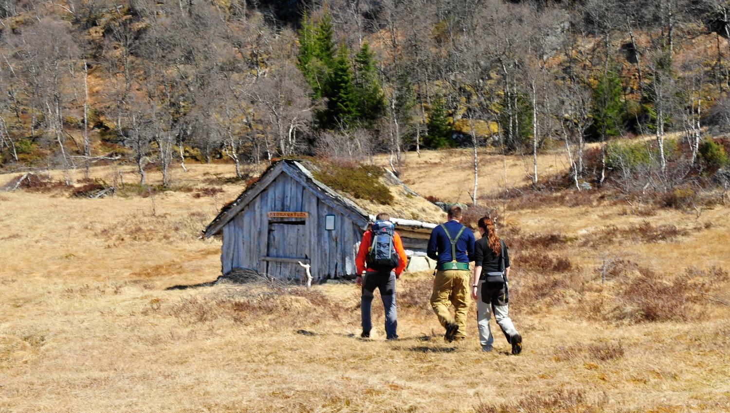
The hike is well marked from the start with green signs. Follow the forest road to the north at a slight incline, continuing in partly marshy forest terrain before reaching a good path. Here it is possible to continue on a partially visible path to Reinsnuten. The hike passes a total of 8 hay barns, the oldest of which dates from 1808. The hike ends at Maldalsstølen, 750 metres above sea level, before following the marked trail back down to the car park.
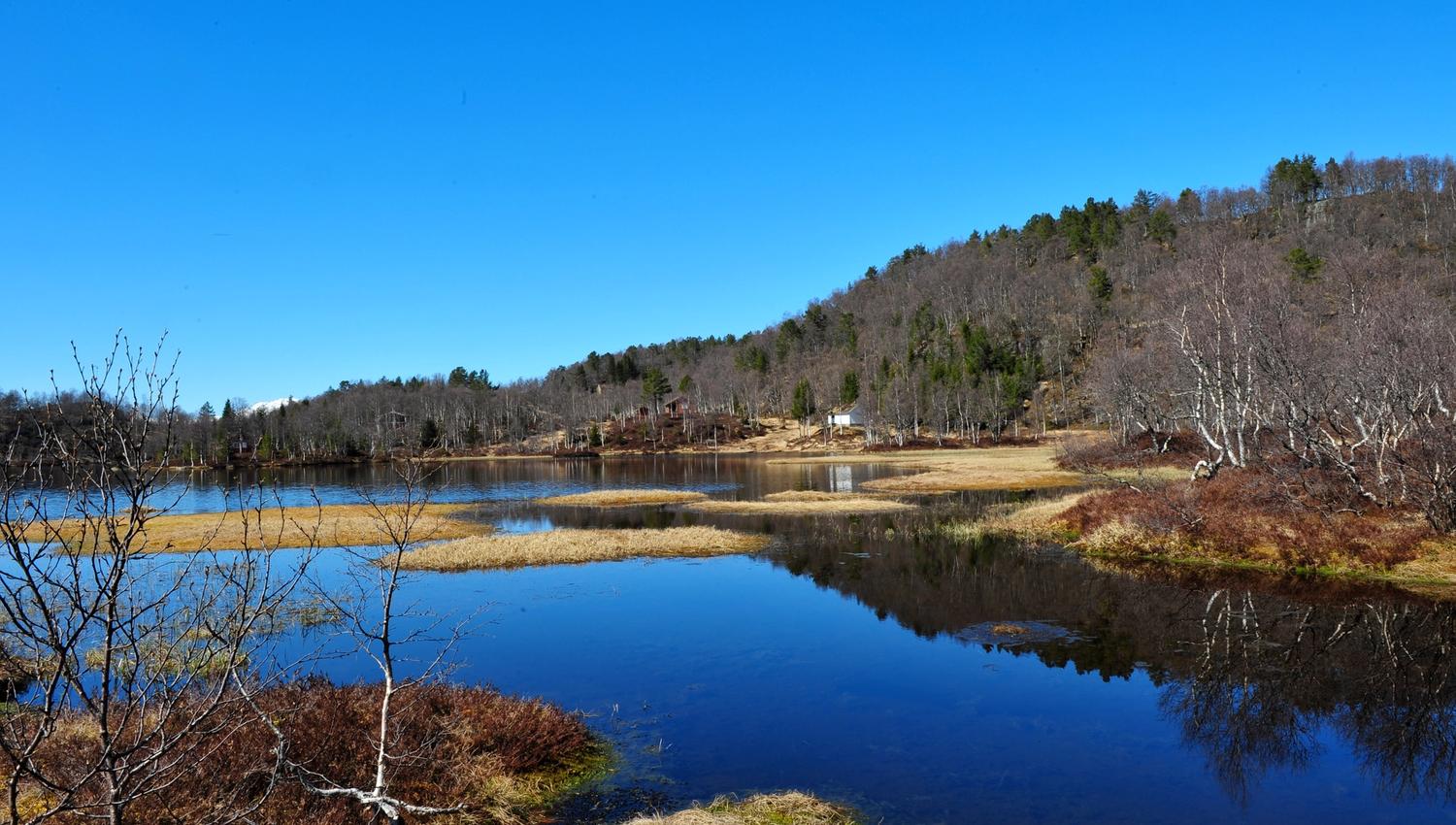
Each barn has a short story and a photo. The hike goes through a varied mountain area with mountain birch forest and heather. You'll reach the tree line at the highest point, which provides good views of the mountains and water. It can be a little wet in places.
Important info for the hike
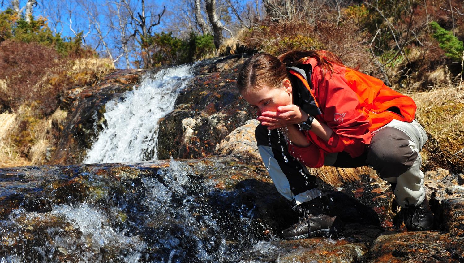
Waterproof shoes
Clothes for the weather
Food and drink
Packing list for hiking - and everything else you need to know about hiking in Western Norway
Source: Reisemål Ryfylke