Oppstryn
Area: Breheimen incl. the Jostedalsbreen glacier Type: Hike/walk Classification: Demanding Length and duration: 11,6 km roundtrip, about 7 hours Season: May–October, and in winter skiing conditions are good.
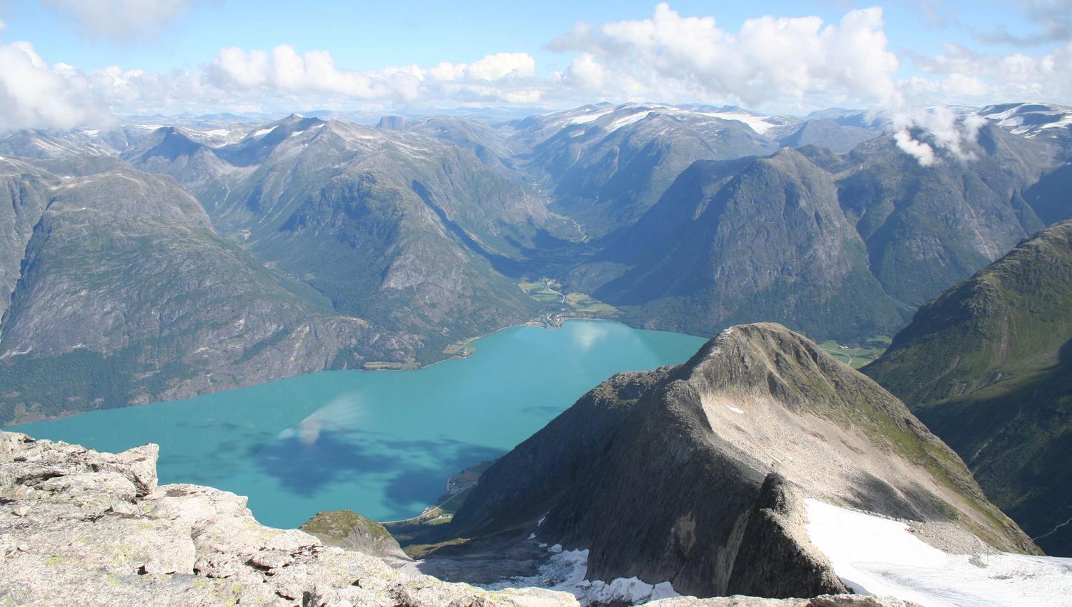
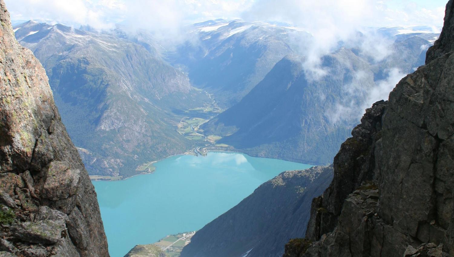
Storskredfjellet mountain is a favourite among locals – in summer and winter alike. A lovely view of Oppstrynsvatnet lake awaits you at the top.
Park at Strynsvatn Camping, walk through the campsite and follow the forest road uphill. Turn left at the first intersection and walk to the end of the road. There is a marked path to the summer pasture farm up to the left.
Make your way through dense forest up to the beautiful Rjupedalen valley. Turn left further up and walk along the wide ridge towards Melandfjellet mountain. The long ridge leads all the way to the top. This is a lofty and relatively demanding trip. It is 5.8 km long and the summit is 1,742 m.a.s.l.
Source: Nordfjord