Hatlestrand
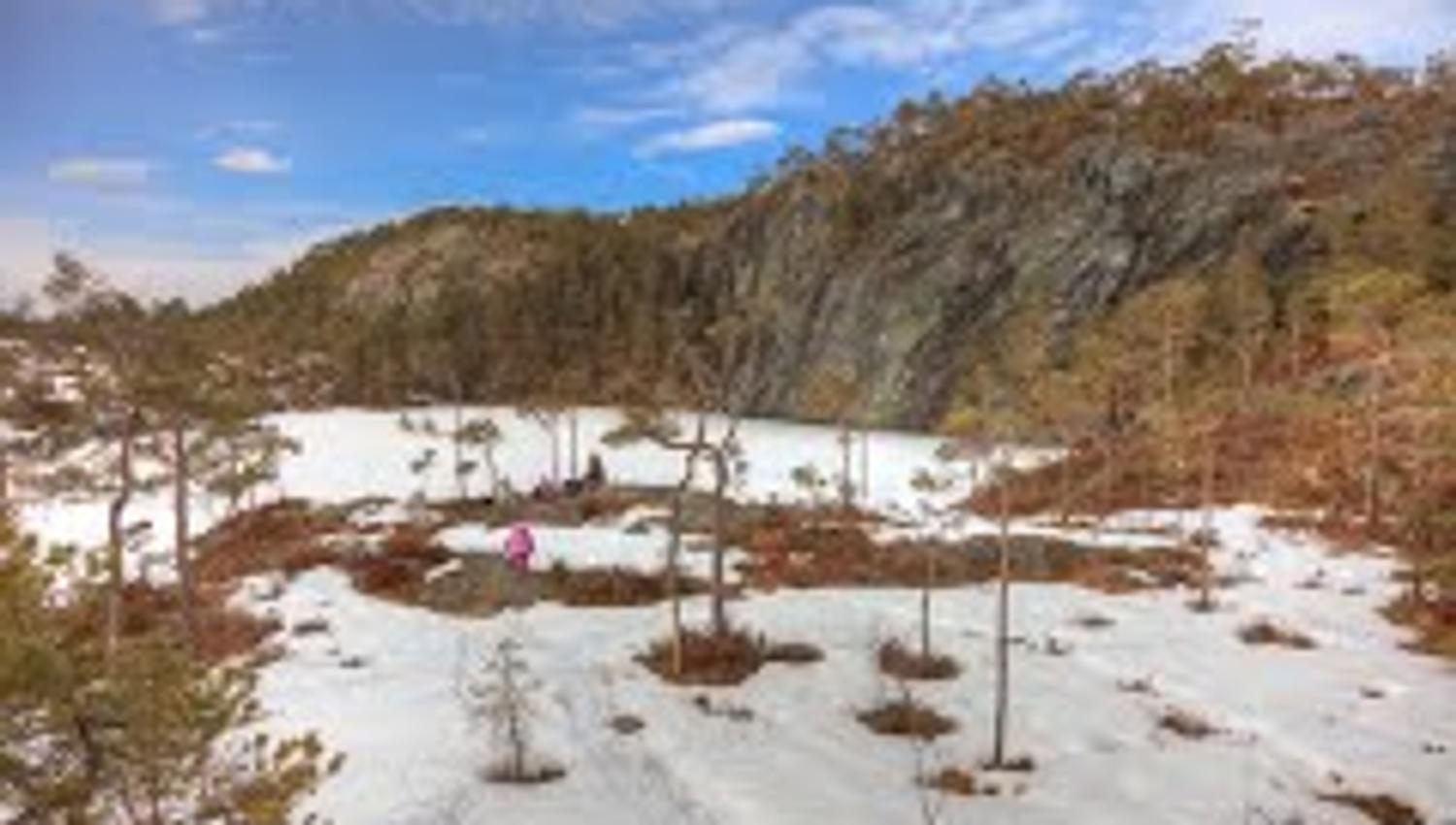
An easy hike with amazing view over Varaldsøy, Melderskin and all of the Kvinnherad mountains. The hike is accessible with a pram, except the last 500 meters.
Location
Hatlestrand
Map
Sports team Strand-Ulv orienteering map of Hatlestrand. Norway 1:50.000 - Sheet Varaldsøyna 1215-2
Start point, end point and parking
Grønevik. From Gjermundshamn ferry quay - drive 4 km towards Mundheim. Drive off the main road on the left and park down by road barrier where you also find an information board. The trip goes on a forest road.
Length to hiking destination
4,0 km
Marking
T markings along the path.
Grading
GREEN – Easy hike.
Difference in altitude
50 – 235 m AMSL
Estimated time for total trip
2,5 hours
Overview
Follow the forest road 3 km uphill. For the last 500 m you walk on a path. Up along the forest road there is a fantastic view over to Varaldsøy, Melderskin and many of the Kvinnherad mountains. You can go with a pram almost to the hiking destination.
Recommended advice
Note: By the lake there is a protected nature area!
Source: Region Sunnhordland