Hammerfest
The Struve Geodetic Arc
![images[1]](https://assets.simpleviewcms.com/simpleview/image/fetch/c_fill,h_1080,w_1920/f_jpg/q_65/https://images.citybreak.com/image.aspx%3FImageId%3D2955739)


UNESCO world heritage in Hammerfest
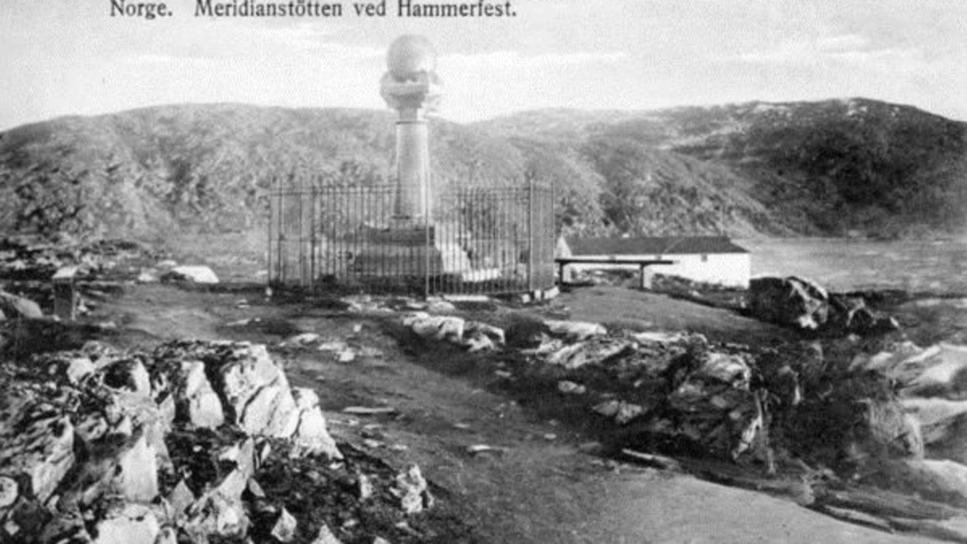
The Struve Geodetic Arc was the first technical and scientific object to be inscribed on the UNESCO World Heritage List. Measurements were made in the form of a chain of triangulation along the meridian stretching from Ismail on the Black Sea in the South to Fuglenes in Hammerfest in the North. A meridian is an imaginary line on the Earth's surface running from pole to pole. The Meridian Column marks the northernmost measure point on Fuglenes in Hammerfest.
Source: Book Finnmark
The Struve Geodetic Arc