Ytre Hvaler National Park


Ytre Hvaler National Park comprises 354 km2 of coastline and skerries, and is the first marine national park in Norway. As much as 96% of the national park is under water. Ytre Hvaler offers many opportunities for outdoor recreation and experiencing a rich and varied coastal landscape. The area attracts visitors all the year round for swimming, boating and fishing.
The Hvaler and Fredrikstad archipelago boasts a rich diversity of species both on land and below sea level. Most of the park consists of seabed. With its soft bottom, rich kelp forests and corals, the park has complete subsea ecosystem. Above sea level, you can enjoy a landscape ranging from rocky shores worn smooth by ice and water to coastal woodland shaped by the wind.
Ytre Hvaler National Park is one of the most important areas for outdoor life in the Oslo Fjord. The area is attractive for boating and hiking, sunbathing and swimming. Many people regard it a summer paradise, but its scenery and natural history also have much to offer the rest of the year.
A boat gives you many islands to choose between. Kayaking is popular and an excellent means of exploring the park. The waters are also suitable for diving.
Skjærhalden is the city center of the Hvaler Islands, with many shops and restaurants. From Skjærhalden you can catch the local ferry and go island hopping on the outer islands.
Located both on Skjærhalden and Storesand beach you find Visitor centers for the national park where you can see more of what is hiding under the sea.
The park is great for hiking and there are several coastal trails; on Kirkøy, Asmaløy and Vesterøy. These are marked with coastal trail signs and blue paint. By using the established trails in the national park, you also help to protect nature from wear and tear and disturbances.
Remember that you are Nature’s guest in the national park. You may travel on foot and by boat anywhere in the national park except in the zones where seabirds are nesting, and seals are pupping from 15 April to 15 July.
Ytre Hvaler national park is easily accessible by boat, car and public transport. There are parking options close to the main road (108), which are good starting points for hiking the coastal trails. See map of parking spaces here.
More about the nature in the national park:
The landscape of Ytre Hvaler national park ranges from coastal woodland and rocky shores to depths of 400 metres. Most of the national park is below sea level and ranges from depths of 470 m to shallows where skerries pierce the surface.
The National park has a rich animal life including an abundance of birds. Islets, narrow inlets, wetlands and shore meadows offer breeding, resting and overwintering sites for seabirds. The park also has many species of butterflies and moths, many who are Red-listed. The sea between Heia and Torbjørnskjær is an important pupping area for common seals. Several coral reefs occur where strong currents flow; Tisler has the largest inshore reef in Europe, 1200 m long.
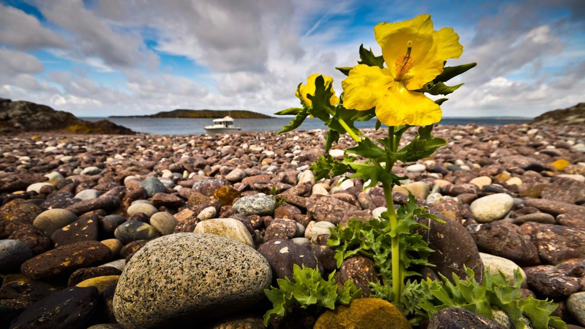
The park has many rare plants, many who are red listed, like musk orchid and horned puppy.
The cultural history and former land use have left their mark on the national park. Hvaler has ancient settlements sites ranging up to the end of the 16th century, and some may be as old as the Late Bronze Age. Fishermen’s shacks are a reminder of Hvaler’s long history of fishing. Shrimps trawling is now the most important fishery.
The sea conceals at least 50 shipwrecks, including the frigate, Lossen, which sank off the islands of Vesterøy in 1717.
Source: Visit Fredrikstad & Hvaler
Ytre Hvaler National Park