THIS IS WHERE THE NORTH BEGINS
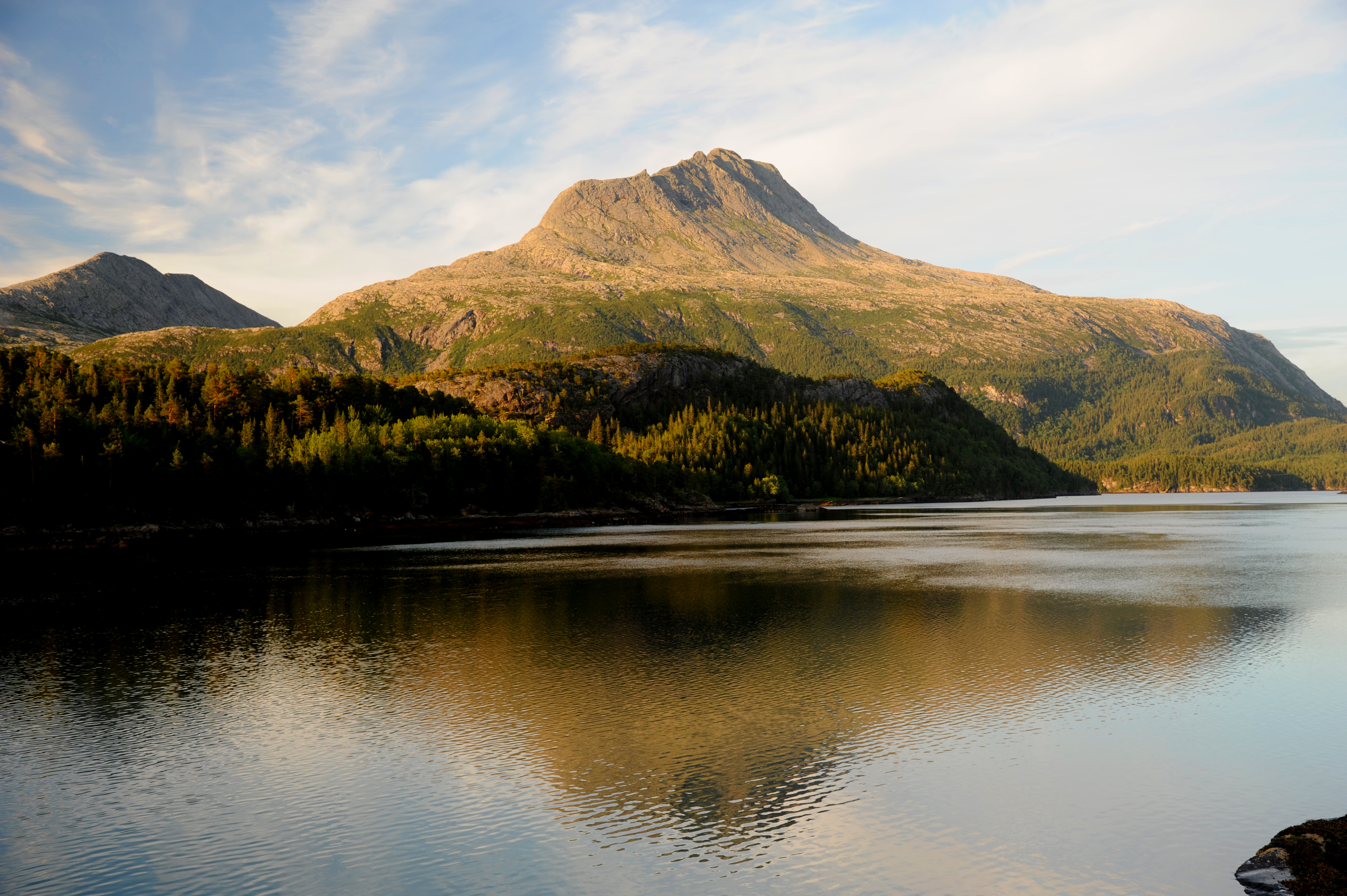
The southernmost municipality in Nordland is Bindal – on the border to Trøndelag. The mountain Heilhornet, at 1,058 metres above sea level, served as a navigational aid for seafarers sailing in toward the boat-building region of Bindal, where the hidden gold was found in the timber resources of the local forests. This is still the case to this very day.
The Bindalsfaering boat is still being built in the traditional way. Visitors can experience this first-hand at the Helgeland Museum’s division at Terråk. Each summer, the boats adorn the Bindal Fjord during the annual Nordland boat regatta.
Bindal is a diverse area with its fjords, rich salmon rivers and lofty mountain peaks. Seafarers often navigated by “The Norwegian Ram”, as they referred to the majestic Heilhornet Mountain.
Kvannlitind is even higher at 1,095 metres, and it was below these mountains the polar explorer, Otto Sverdrup, author, Arvid Sveli and all the other “Bindalingers” started on life’s journey. If you want to experience the fjords, we recommend some sightseeing and round-trip excursions with local express boats departing from Terråk city centre. And Bindal is also a popular area for salmon fishing enthusiasts.
Photos from Bindal
The majestic Heilhornet mountain and other great walks in Bindal
You can't help but notice the mighty Heilhornet when you drive along FV17, today one of the most popular hikes along the coastal road. Heilhornet, along with several other great hikes, is right next to the road. Just park and start walking ! Here are some suggestions.

Toursuggestion: Mount Heilhornet
Toursuggestion: Mount Heilhornet Heilhornet is Southern Helgeland’s highest mountain and is located in Bindal municipality. The route is well marked from the parking area north of Kjelleidet, and takes about 5 to 7 hours at a moderate pace. The route is for experienced hikers with some steep/airy sections towards the peak. Heilhornet: 1058 m.a.s.l Download … Read more

A summit hike with a magnificent view. Great short hike close to Terråk city centre. From the summit, the 360-degree panorama includes Heilhornet, the Bindalsfjord, and the open sea.

The Solstad area has traces of old settlement, possibly around 2000 years back in time. The trail is suitable for those who want to go for a walk or hike, exercise, enjoy the view, or are curious about local history.

The starting point for the trip up to Holmshatten is by Fv17 just south of Holm ferry landing. The trip is considered medium to demanding and takes about 2.5-3 hours. Great view of Bindal and South Helgeland.

Tyskenghatten mountain is Leka municipality's second highest peak on the boundary between Nærøy, Leka and Bindal municipalities. The trail is marked from road 771 at Sørgutvikvatnet. The view from the top is formidable !
Accommodation in Bindal

The guest inn is located in the centre of Terråk in Bindal municipality with great ocean views and accommodation in 11 large, newly renovated rooms. One single room, 6 double rooms, and 4 suites. All are equipped with a private bathroom and shower.