Bicycle route around Svartavatnet lake, Fitjar
A varied route with a steep ascent. On this trip, it's up to you whether you walk or cycle up the mountain.
Length:
• From Fitjar centre: 6.1 km
• From the car park: 3.7 km
Time: Approx. 30-60 min.
Max. altitude: 387 metres
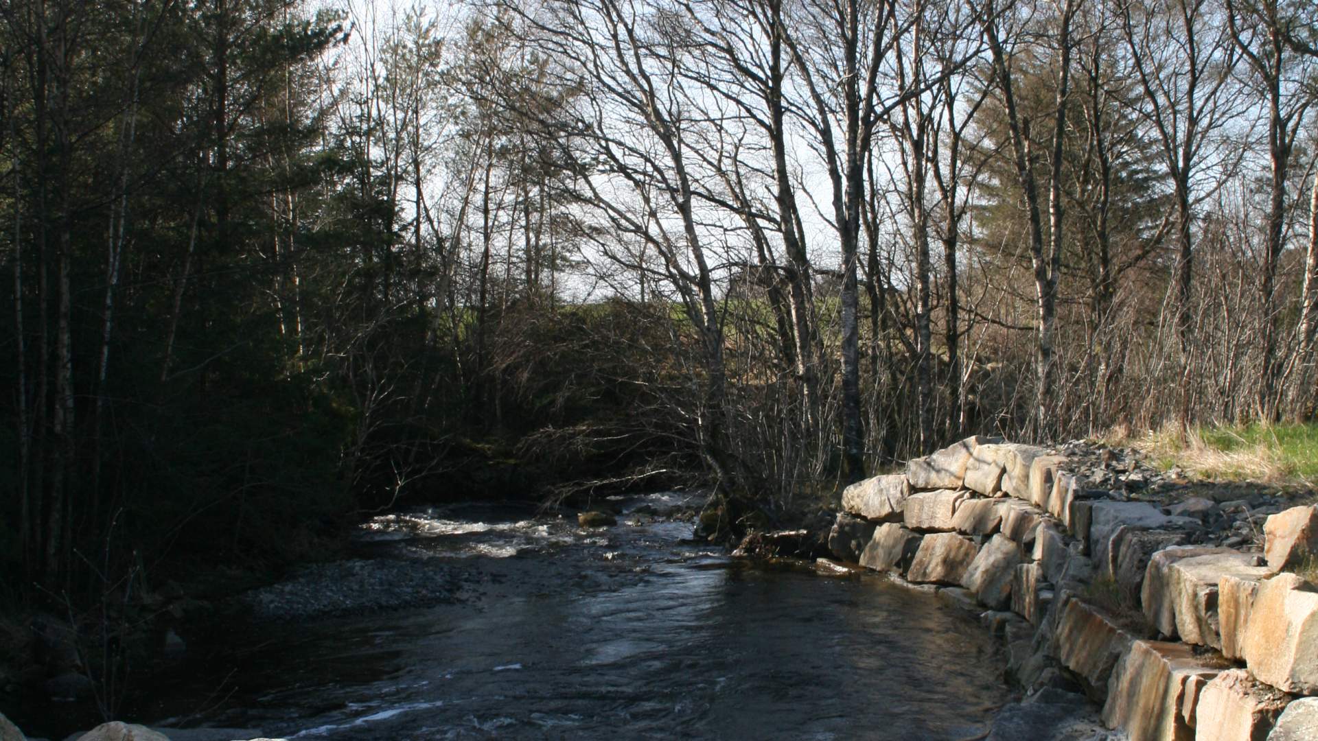
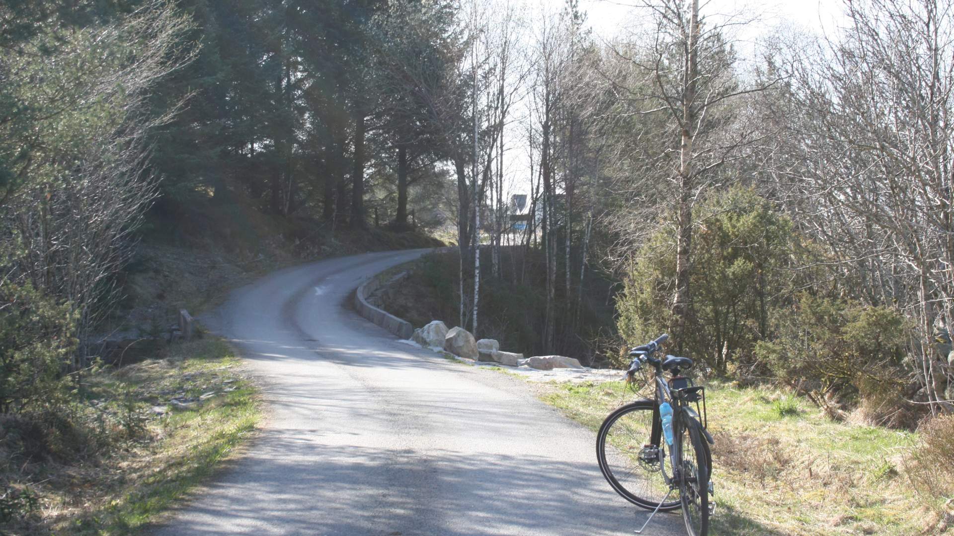
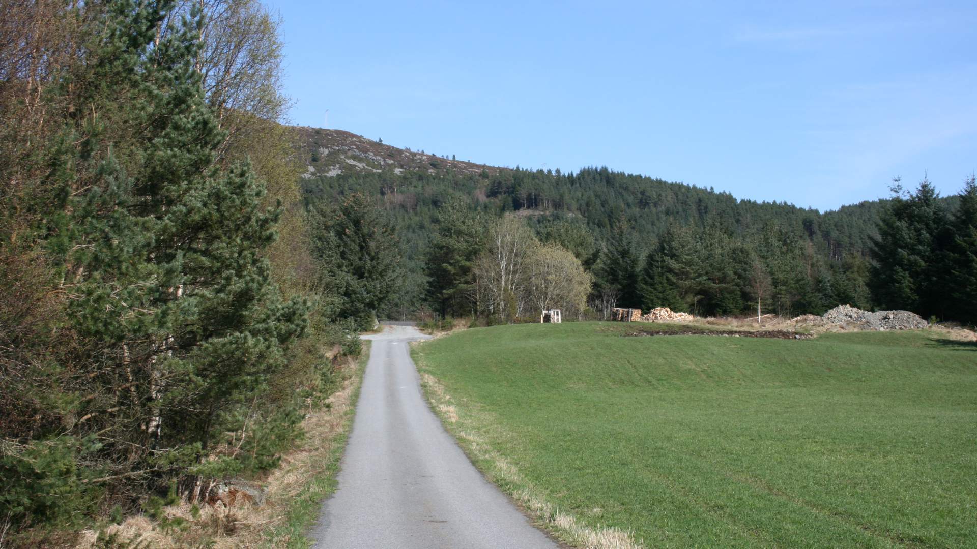
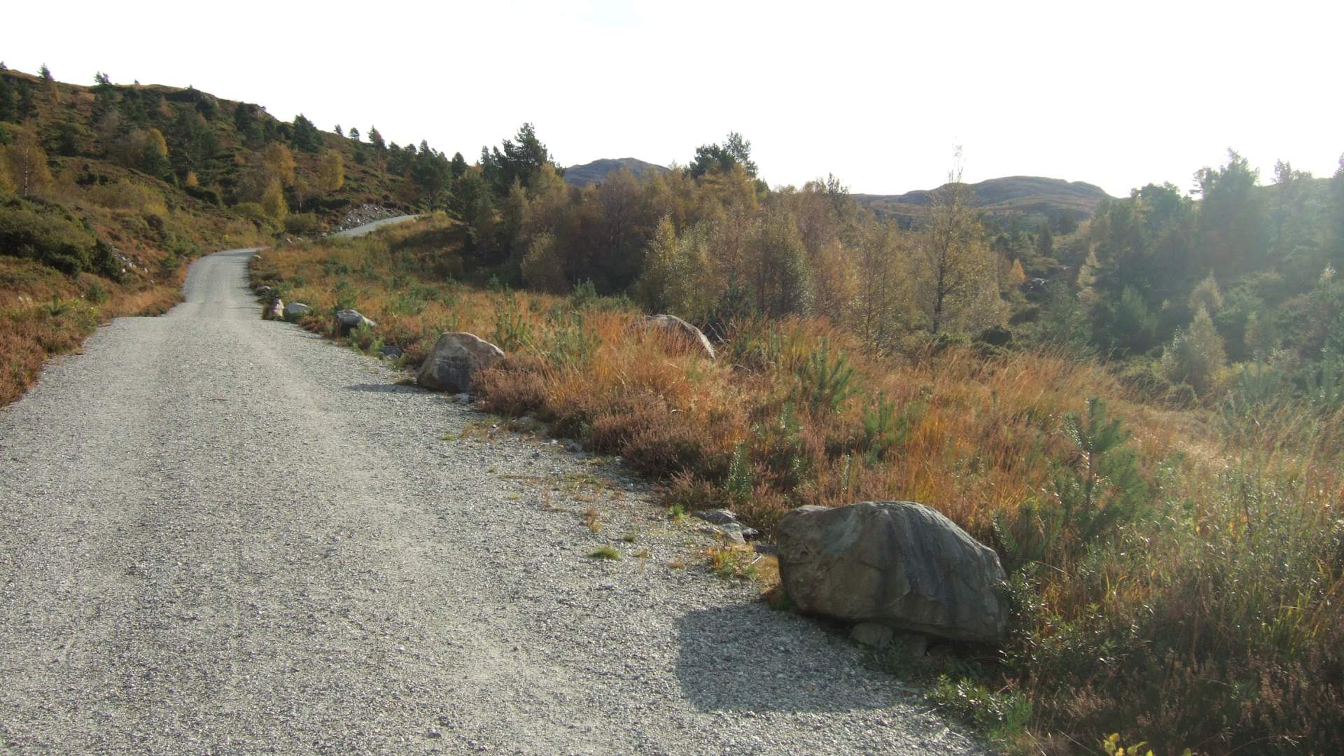
Surface: Tarmac and wide gravel path
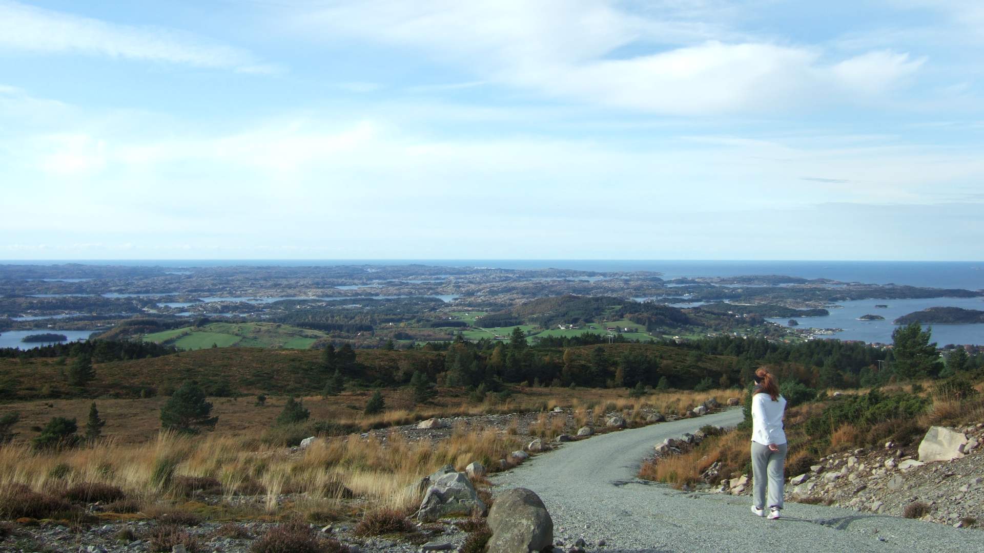
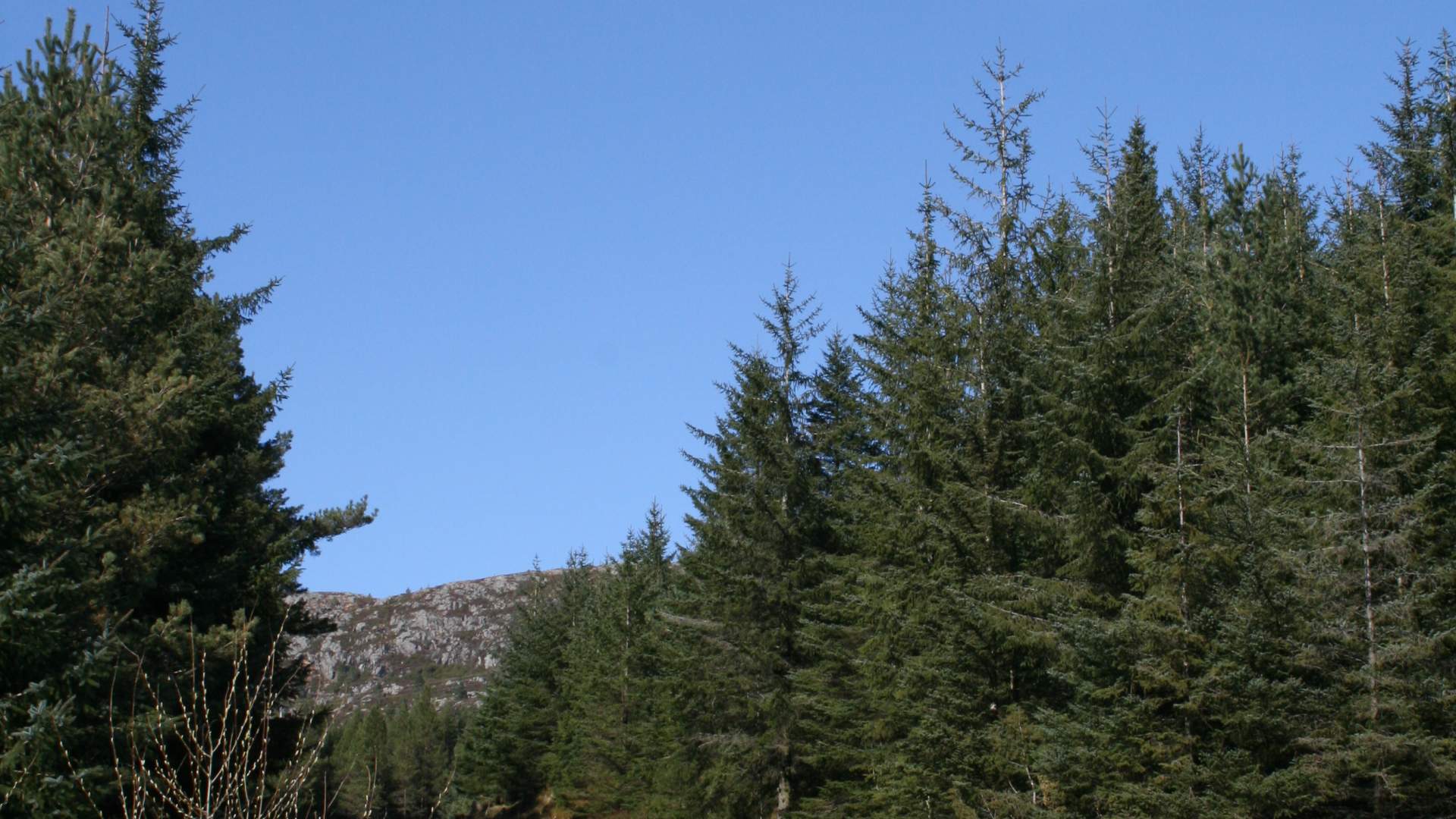
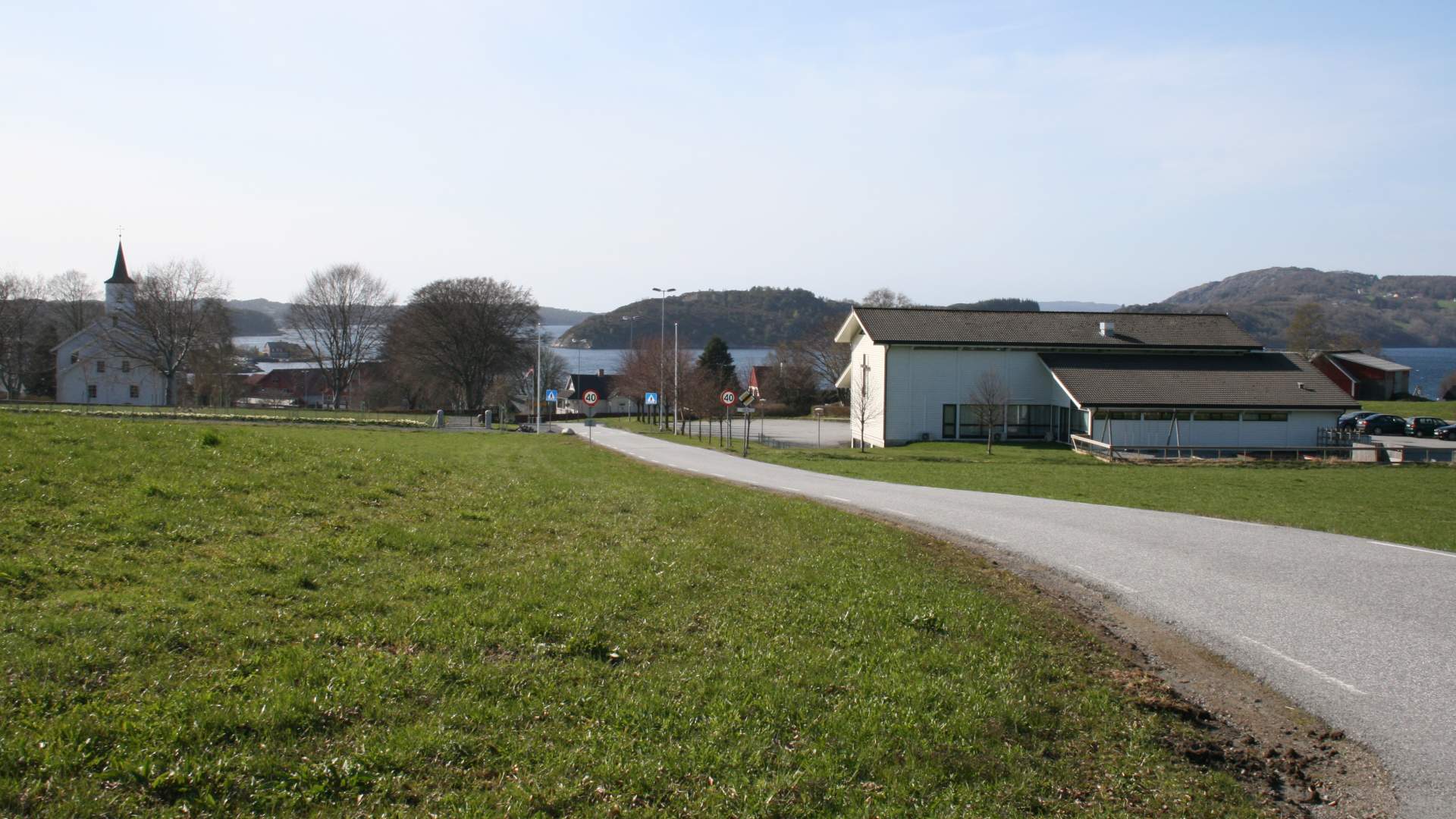
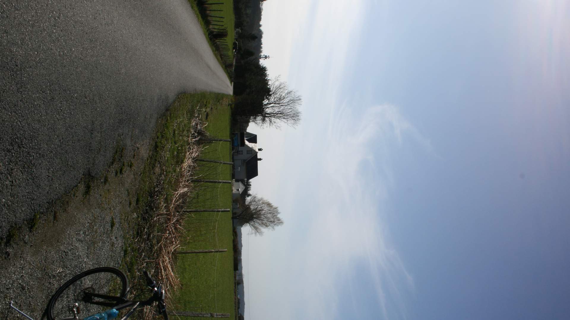
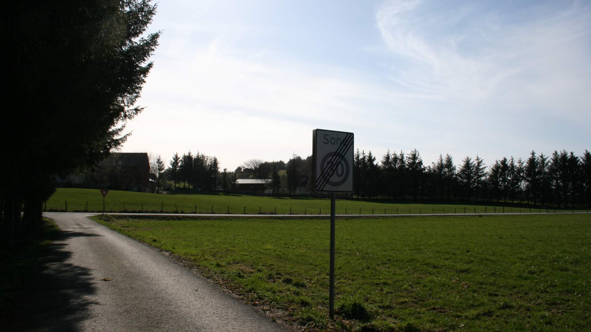
The route starts in the centre of Fitjar, where you will find accommodation, among other things. Follow the RV 545 road south past Fitjar church before you turn left onto a narrow country road after one km. You follow this road up to a car park with a barrier. This is where the gravel path up to Svartavatnet lake starts. There is a steep ascent initially, but the path gradually flattens out.
After cycling 1.7 km from the car park, you come to the first lake , Olstjødno. The next lake is situated 0.8 km further ahead and is called Kidnavatnet. Midtvatnet lake then comes into sight and after almost one km, you arrive at Svartavatnet lake, which is one of Fitjar's sources of drinking water.. Tables and benches have been set up along the gravel path.
Source: Samarbeidsrådet for Sunnhordland
Bicycle route around Svartavatnet lake, Fitjar