Hike to Siggjo
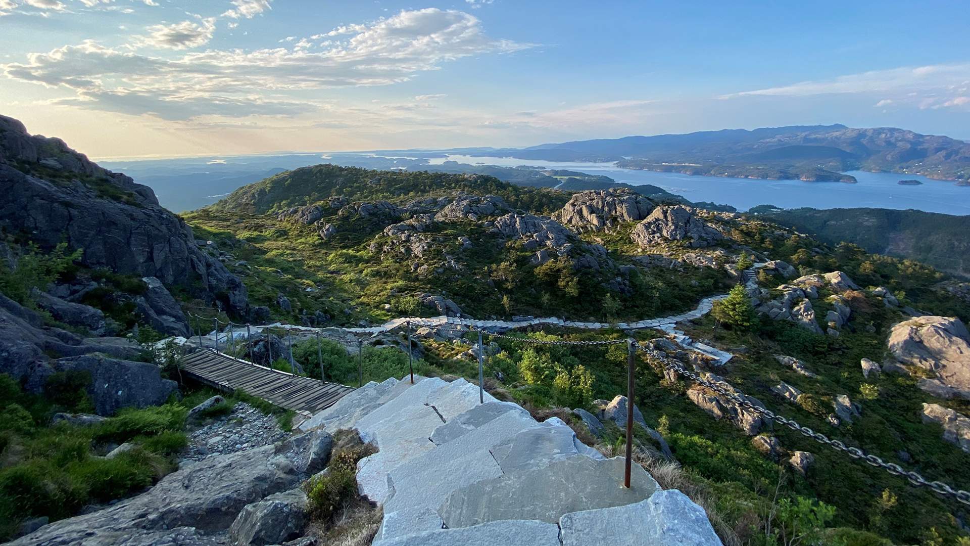
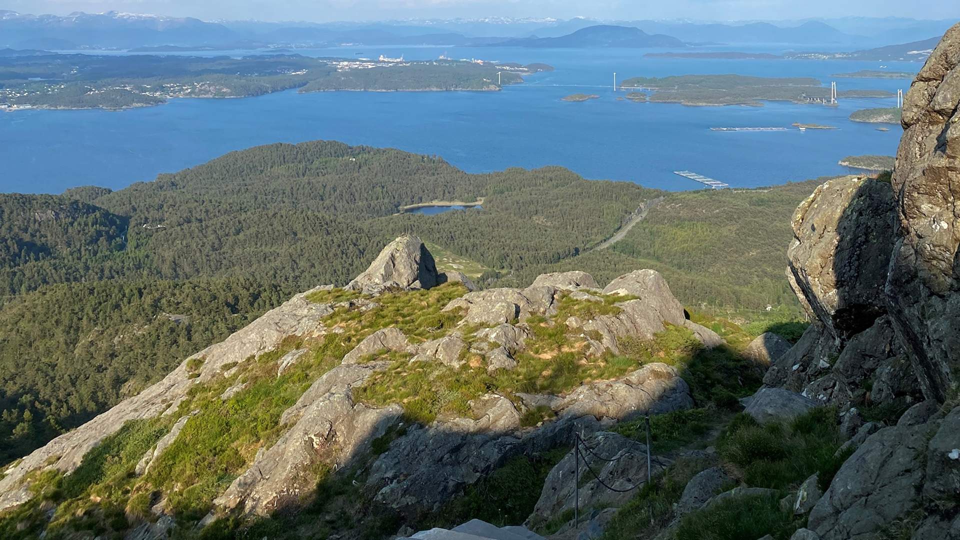
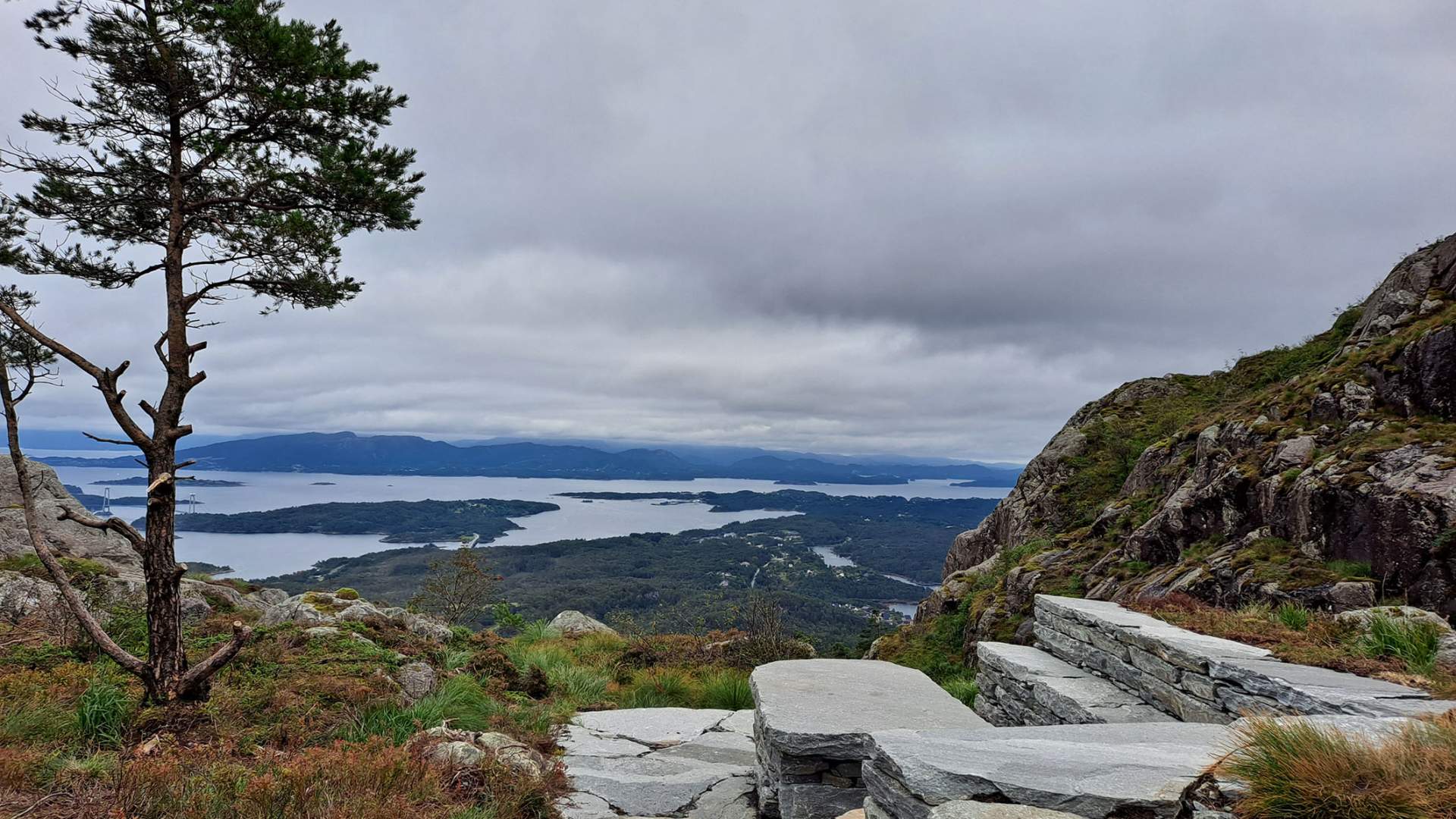
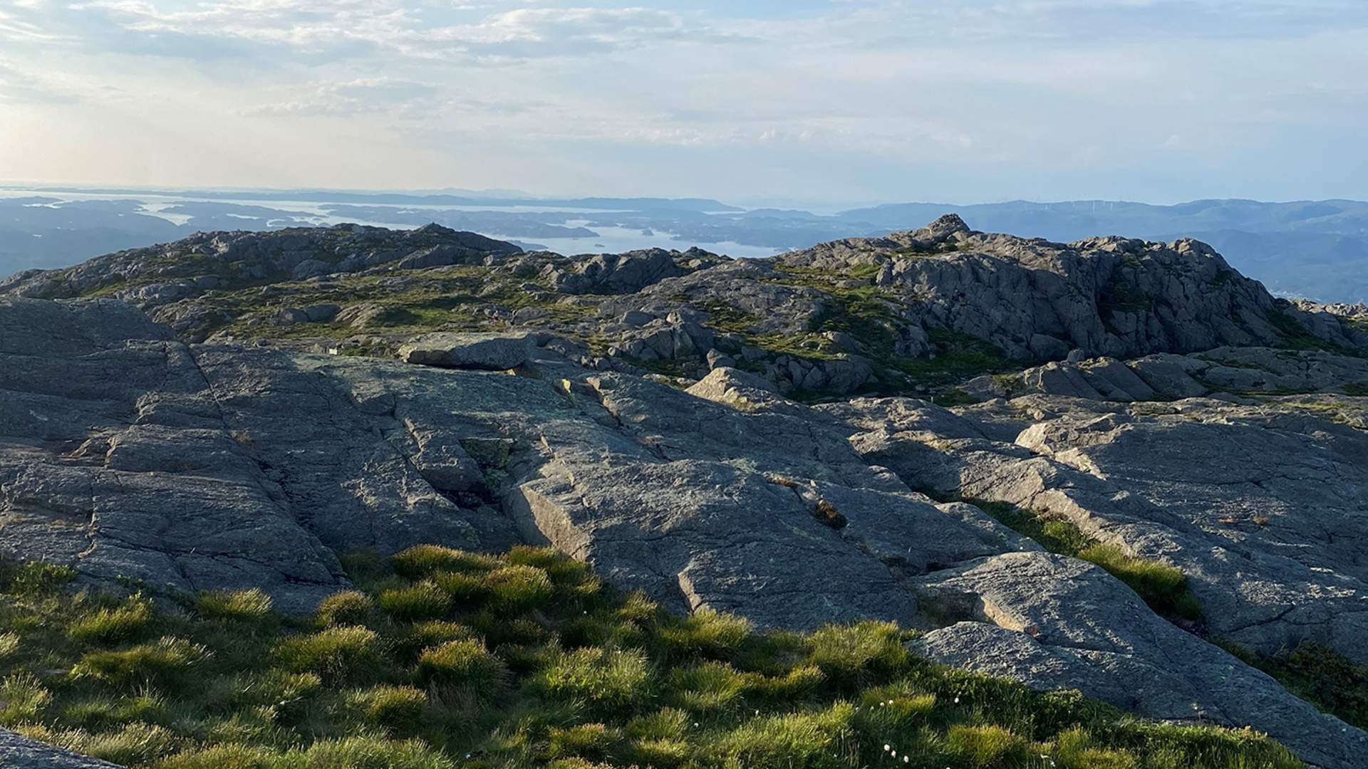

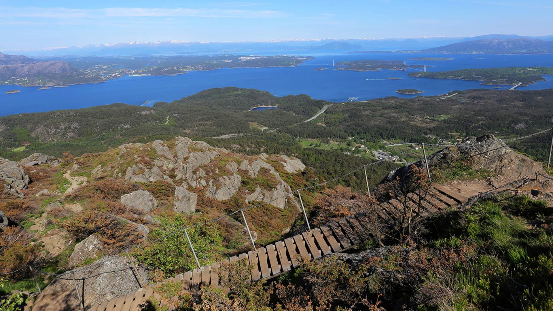

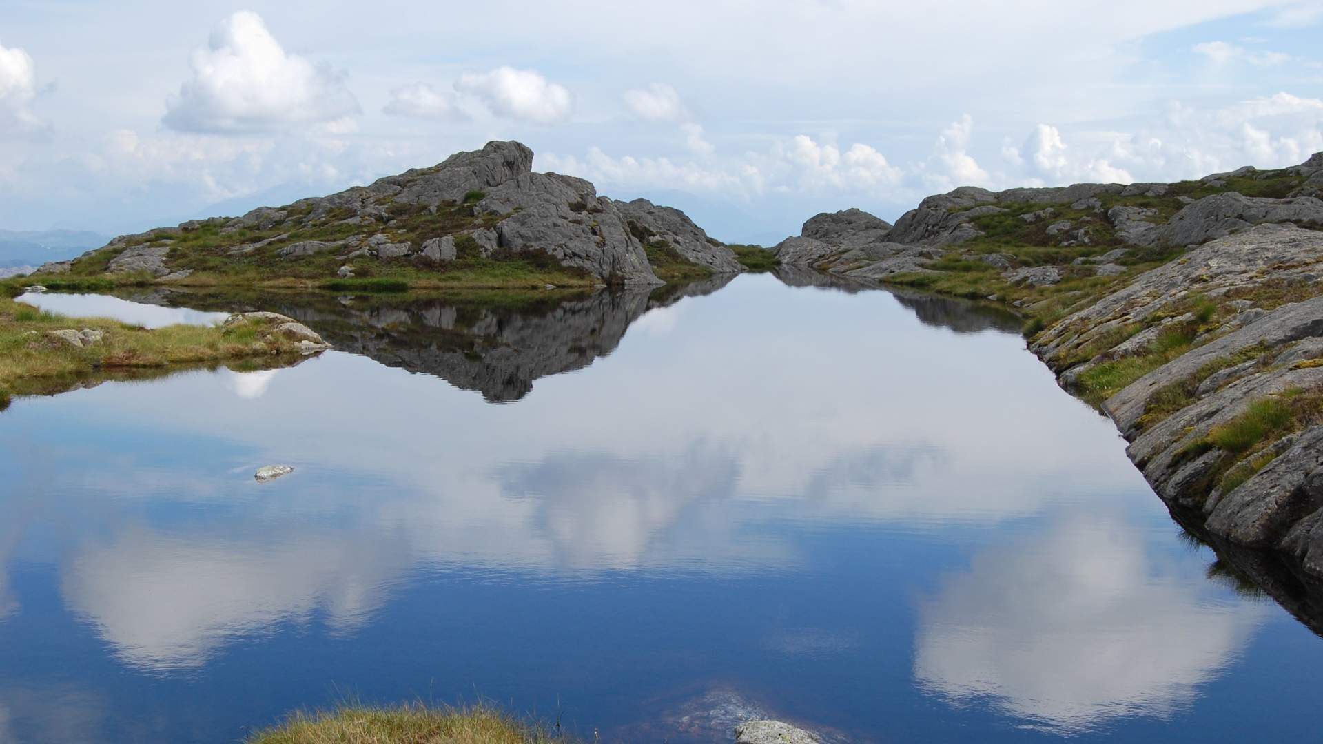
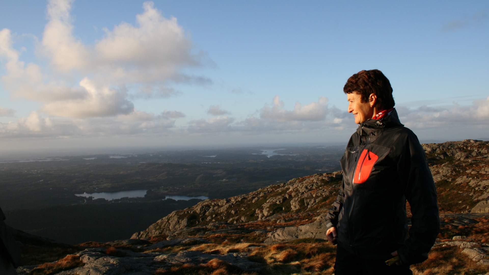
A fabulous viewpoint – and an exciting geological area. The hike up the sherpa stairs takes about 1 hour to the top.
Siggjarvåg/Moster
MapSiggjo (1: 50 0000)
Start and stop pointGrøvle/Siggjarvåg
ParkingBy the classified road/county road 542 at Stokka in Siggjarvåg you will find good parking facilities. The bus stops by request. In Siggjarvåg and in Håvik boat tourists find access to the track.
MarkingInformation board at the start point. The track is signed and marked.
GradingRed, moderate hike. Some steep places.
Difference in altitudeAbout 300m.
The highest point of the track is 474m above sea level.
Estimated timeAbout 2 hours
Good adviceSome wet and slippery places, use adequate shoes. Here you will also find some good advice on hiking.
OverviewSiggjo has always been an important sailing mark visible from long distances. The mountain is a popular walk destination. Thousands of people visit Siggjo every year.
From the parking place you follow a well marked path which turns into a tractor road. Follow the tractor road up to the sign marked Siggjo, and from this place there is a marked path up to the top. Take time to stop once a while and enjoy the view as it opens up. From Siggjo there is a marvellous view in all directions. If the weather is good you can see from Lyderhorn by Bergen to Haugesund. Folgefonna (glacier) lies in the east like a shining white carpet, and in the west you have a good look towards the ocean as far as the eye can see. You can see Bømlo and her more than thousand islands and the skerries in all of Sunnhordland.
On the top there is a marked path to a ryolitt quarry. Here you can find traces from thousands of years of stone quarrying. The ryolitt-variant found on Siggjo is characteristic and easily recognized, with a dark greenish bottom colour and lighter veins and spots. The stone was broken from the rock by means of fire and water. The ryolitt from Siggjo was in use from about 4000 to about 2000 BC. Most of the Siggjo-ryolitt was used in Hordaland.
This area is highly worthy of preservation. Please respect this and do not bring with you stone from this place.
For long, long times Siggjo has been a weather sign and weather forecaster:
When Siggjo puts on her hat, it is a sign of water When Siggjo puts on her coat, you cannot hope for good weather When Siggjo puts on her belt, it will be sunny, but also a bit cloudy When Siggjo is naked and clear, she predicts good weather.
The story tells that Saint Olav once upon a time hid a shrine with gold in Siggjo. He put it in a way so that the sun should shine through the key hole at 12 o'clock on St Olaf's Day (29th of July), and then it was possible to see the shine from the gold from long distances. This old story is not so well known today. But in former times there has perhaps been more than one person working hard and sweating on the field or on board the fishing boat, who at twelve on Saint Olaf's Day straightened up and looked around towards Siggjo yearningly hoping to see the shine of gold somewhere from the hillsides.
- Easy
- All year
- Glacier hiking
Source: Samarbeidsrådet for Sunnhordland
Hike to Siggjo