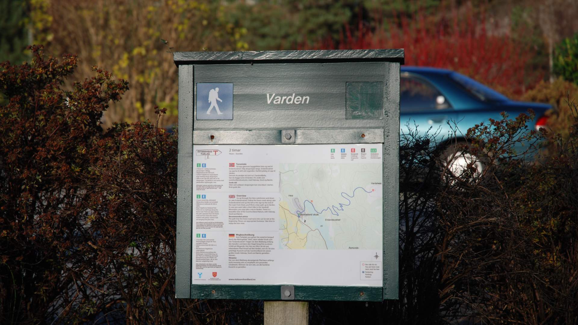
Hike to Varden at Sandvoll
Sandvoll.
MapFolgefonna National Park
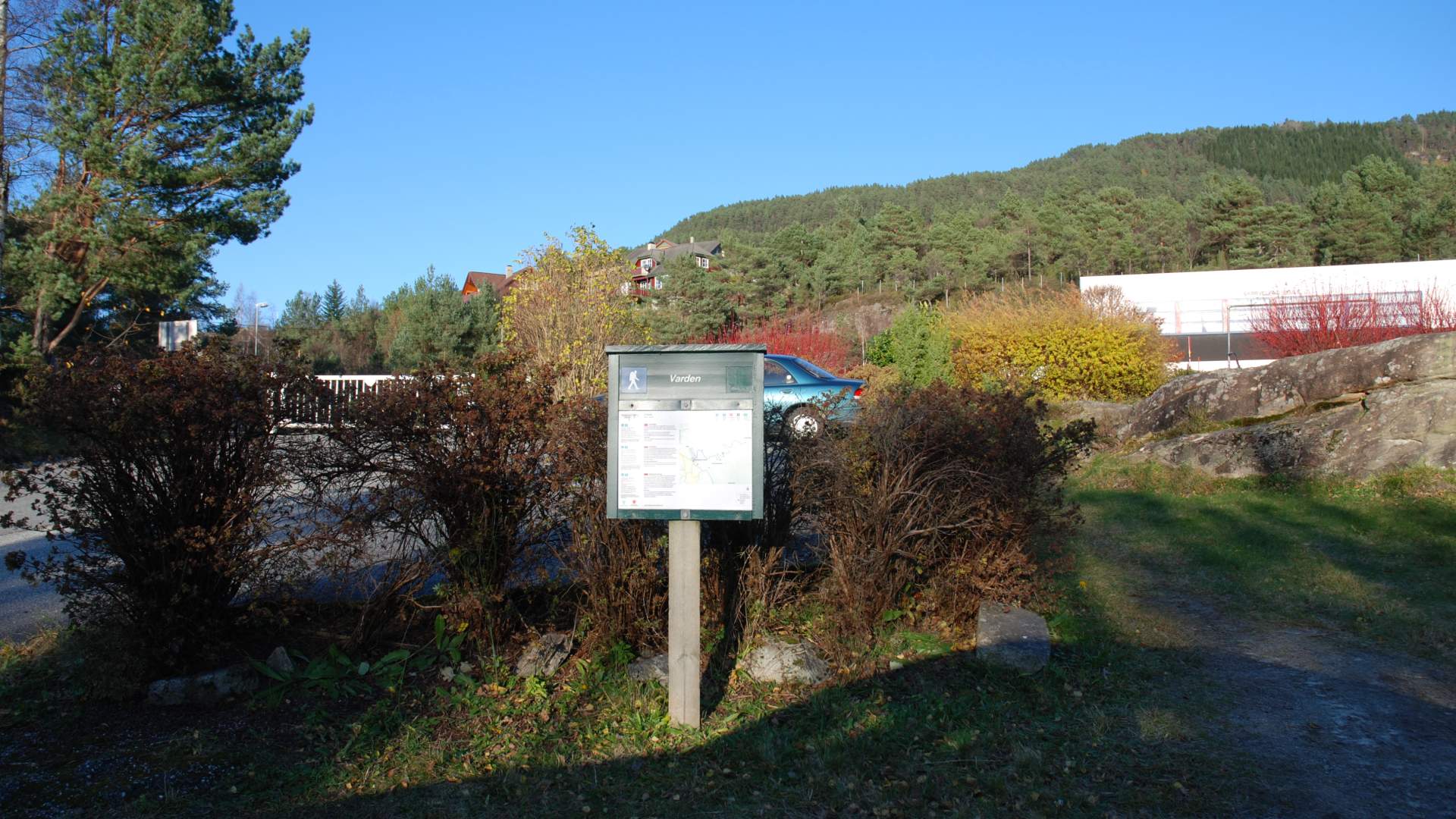
Start and stopping pointSkarveland school.
ParkingBetween highway 48 and Skarveland school
MarkingThere are no markings along the forest road. There are signs where the path separates from the forest road and from there the route is marked with plastic markers that are hanging from the trees.
GradingBlue Moderate hike, two boots according to the DNT system.
Difference in altitude80 - 500m AMSL
Estimated Time2 hours round trip
Recommended adviceThe path that the forest road turns into can be wet at the beginning. Please use appropriate footwear. Take time to enjoy the nice view.
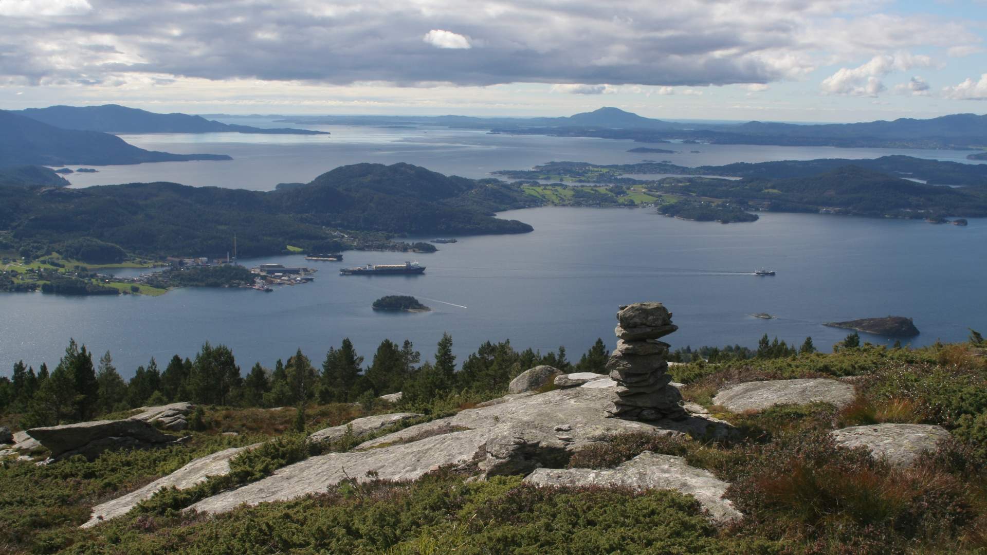
OverviewGo up through the Heio subdivision and down to Lake Erslandsvatnet. Follow the forest roads along Lake Erslandsvatnet and up the hill to the sign by the end of the road. From there, you'll find a clear path up to Varden. In case you want take a short hike in the Sandvoll Mountains, you may take a trip to Varden. There is a beautiful view of the Sunnhordland Nature, with Halsnøy, Stord and Bømlo.
Source: Samarbeidsrådet for Sunnhordland
Hike to Varden at Sandvoll