Nordfjordeid
Rindehornet


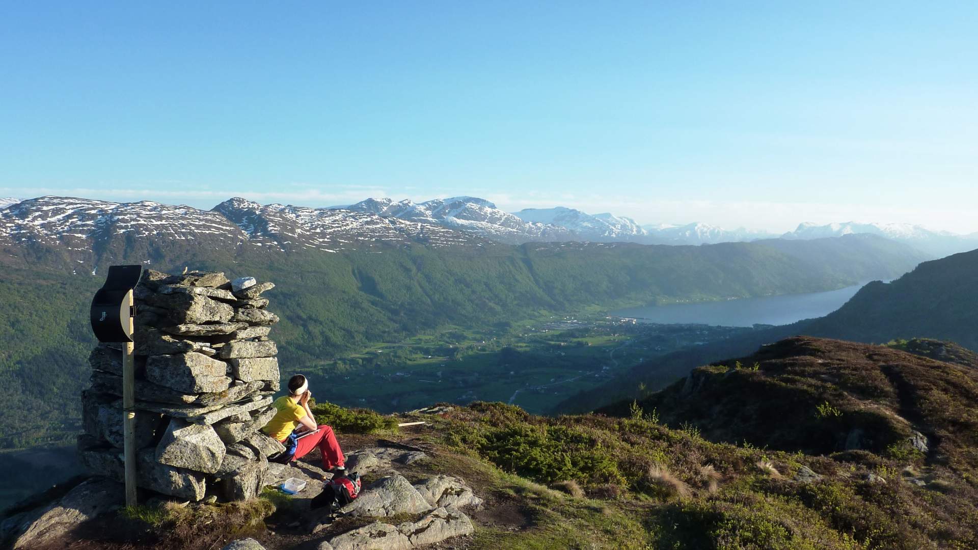
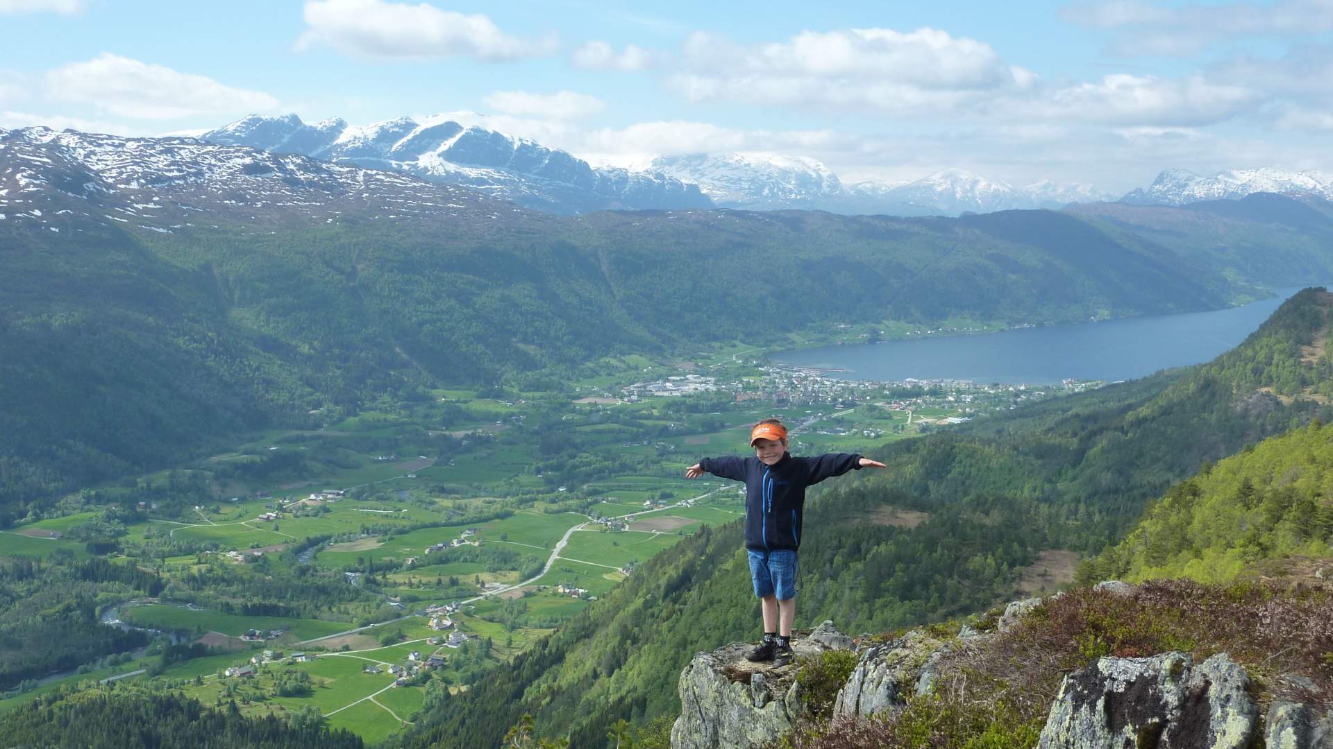
Rindehornet in Stad municipality offers great views of the Nordfjord, Eidsbygda and Hornindalsvatnet lake. Area: Fjords Type: Hike/walk Classification: Medium Length and duration: 5.1 km, 3 hours Round trip Altitude metres 497 altitude meters in total Season: March–November.
A forest road and good trail take you through the forest from Rindane farm. There are two paths up to the top and, for the sake of variety, you can take one up and the other back down.
Drive the RV15 road from Nordfjordeid towards Stryn. Just before Hjellekrysset take a left and drive up to Rindane farm. Park on the left side of the road where there is an information board about the hike to Rindehornet. Turn left at the sign and follow the path along and up a scree. When you have made your way above the scree, turn left and follow the gravel road until you reach a flat area. Then turn left up onto the path to Rindehornet. You can also walk the gravel road from the start, but it is longer. You walk through the gate and follow the road to and through a farm cluster until you get onto the gravel road.
Drive the RV15 road from Nordfjordeid towards Stryn. Just before Hjellekrysset take a left and drive up to Rindane farm. Park on the left side of the road where there is an information board about the hike to Rindehornet. Turn left at the sign and follow the path along and up a scree. When you have made your way above the scree, turn left and follow the gravel road until you reach a flat area. Then turn left up onto the path to Rindehornet. You can also walk the gravel road from the start, but it is longer. You walk through the gate and follow the road to and through a farm cluster until you get onto the gravel road.
Source: Nordfjord
Rindehornet