Øvre Økland - Prestavarden - Øvre Økland
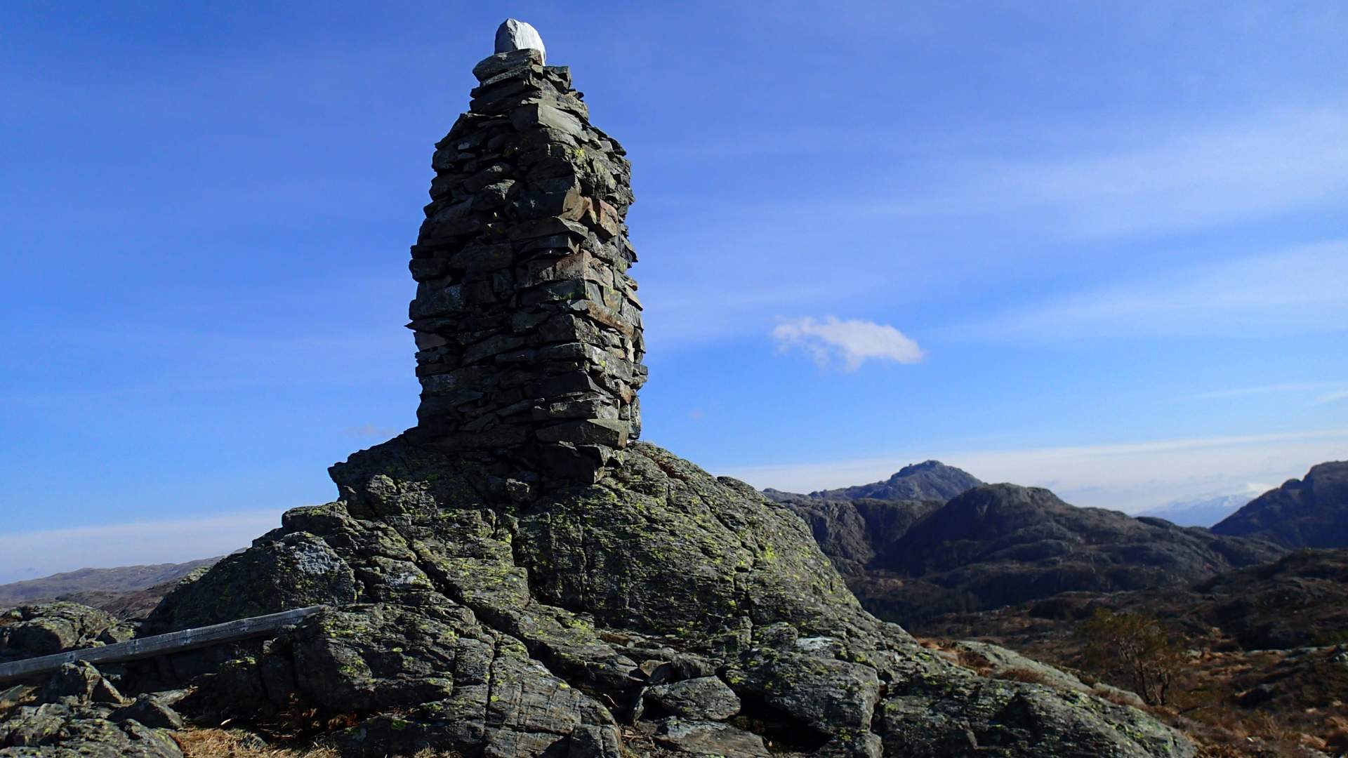
From Prestavarden in Stord there is a great view, from Ryvarden in the south to Sotra in the north.
50 -510 mos
Estimated time4-5 h
Lenght10,5 km
Start point/stop pointBy the forest road to Stua
GradingHard, red
MapStord-Fitjar (1:50:000)
ParkingTake off from E39 to Lundsæter , aprox. 800 m north of Ådland bridge. Follow this to the road cross and turn in to Vatnadalsvegen. Through the farm Vatna over a small bridge and up to a road cross on forest road to Stua. Parkering for 4-5 cars.
DescriptionFollow the road into Vatnadalen valley, through the farmyard of Øvre Økland and to the dam furthest up the valley. Continue to follow the road up towards Ravatnet lake. After about 1km, turn left onto the path marked "Prestatrakket". Go up the hillside towards Klovfjedlet mountain and onto the well-defined/clear path to Prestavarden (here there is a cairn). From Prestavarden there is a great view, from Ryvarden in the south to Sotra in the north. Follow the path back to a small pond, make a left on the eastside and head down to Hovtrongsvatnet lake and continue along the westside of Ravatnet down the road back to Vatna.
Source: Samarbeidsrådet for Sunnhordland
Øvre Økland - Prestavarden - Øvre Økland