
3
Boknafjellet
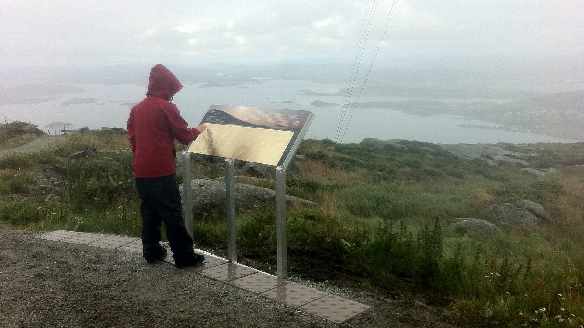
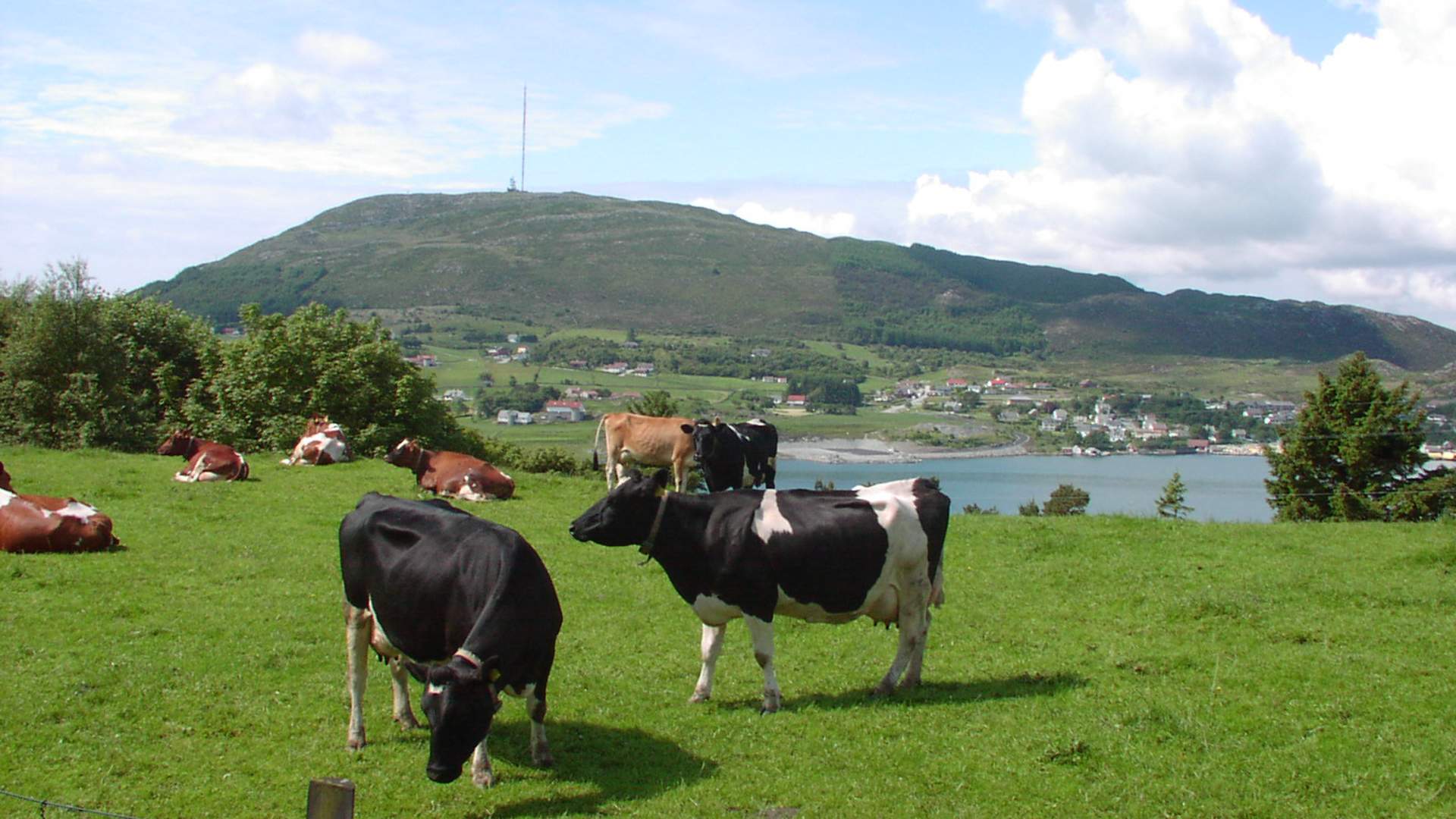
Boknafjellet Mountain is in the municipality of Bokn, and it is a landmark with its 294 metres above sea level.
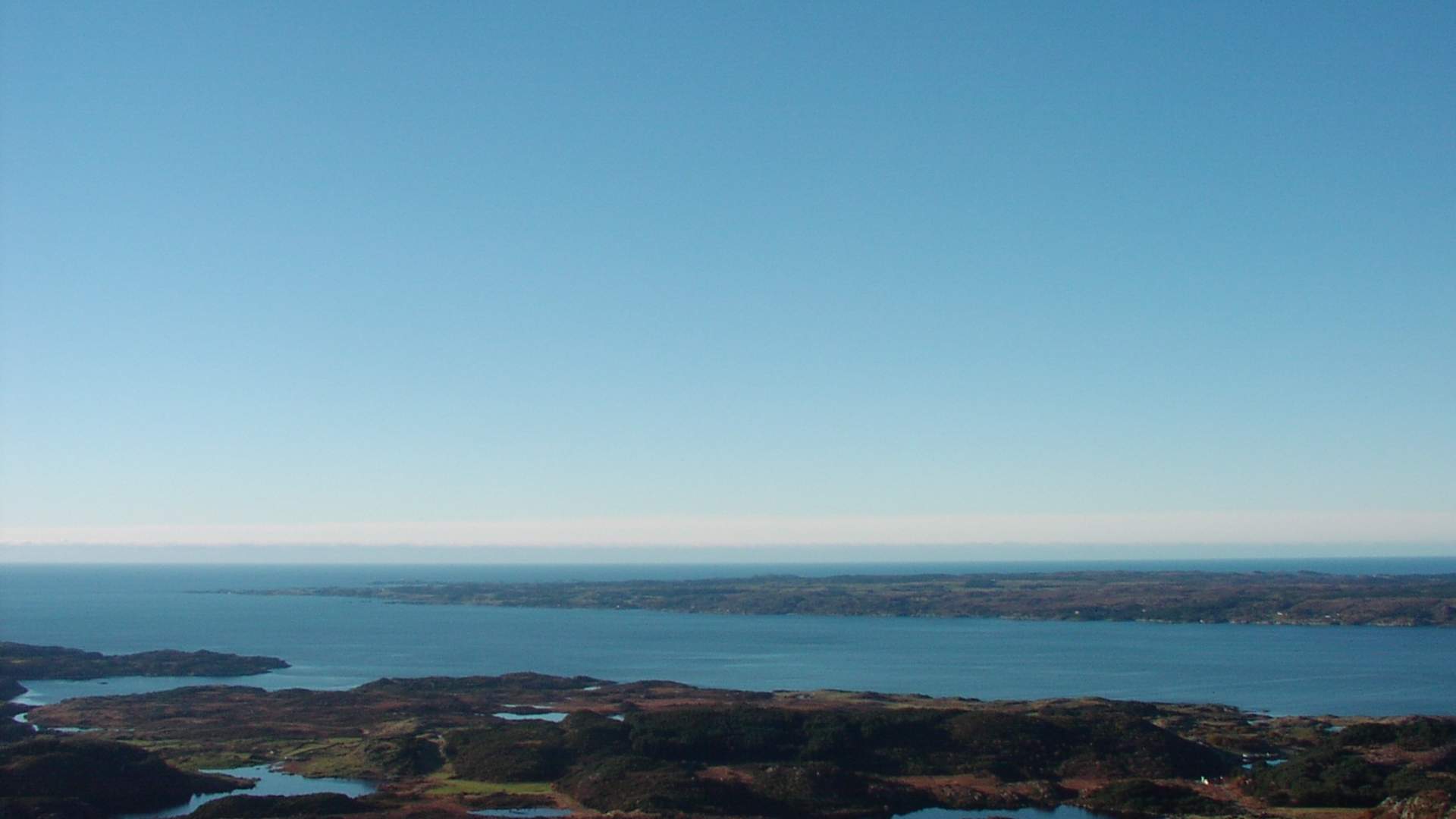
After reaching the top you have a great view of Haugalandet and the surrounding area. When the weather is nice you can see all the way to Bømlo in the north and Stavanger in the south. To the west you will see the small island of Utsira, while the islands in Ryfylke can be seen when looking eastwards.
Boknafjellet Mountain is a renowned landmark for the people of Bokn and not least as an important way mark for sailors. Boknafjellet has been an important landmark for seafarers for thousands of years. When the Dutch and other nationalities came sailing in towards the Norwegian coast, Buch van See - the Dutch name for Bokn, was the first place they saw. Since ancient times a cairn has adorned the summit while in modern times the summit is the site of the Bokn radio transmitter. Access: turn off from highway E39 towards Føresvik on western Bokn. After passing Boknabergvatnet Lake on the left side, turn left and carry on until arriving at the car park. Degree of difficulty: easy. Duration: takes approx. 45 mins.
Source: Destinasjon Haugesund & Haugalandet
Boknafjellet