Cycle route, round trip Litlabø and Sagvåg (18 km)
Cycle? This is a varied round trip that takes you inland and along the coast.
The routeThe trip starts at the marina in Leirvik. Turn right at the roundabout and continue past Stord folkehøgskule and turn right. Follow cycling route no 1 past Esso (gasoline station) and out of the town centre.
The route takes you up a gentle ascent past Knutsaåsen Aldersheim (old people's home) to the end of the road where the road then splits in two – follow the one that passes through an underpass. You will now be cycling on a gravel road. After the last house on this road, there is a gradual descent down a carriage road. Follow cycling route no 1 and you will return to Gruvevegen road. Pass the old school at Stuva and continue through Litlabø.
There are many lovely farms and fantastic cultural landscape along the road.
After roughly 6.5 km, you come to an exit road on the right that takes you to the Mining Museum at Litlabø (Gruvemuseet på Litlabø). Iron pyrite was extracted here from 1865 to 1968. The museum has lovely grounds with a walking trail.
From the Litlabø Mining Museum, you can continue cycling on a walking path along Storavatnet lake. After roughly 3 km, you come to a crossroads in Sagvåg, which brings you to the west side of Stord.
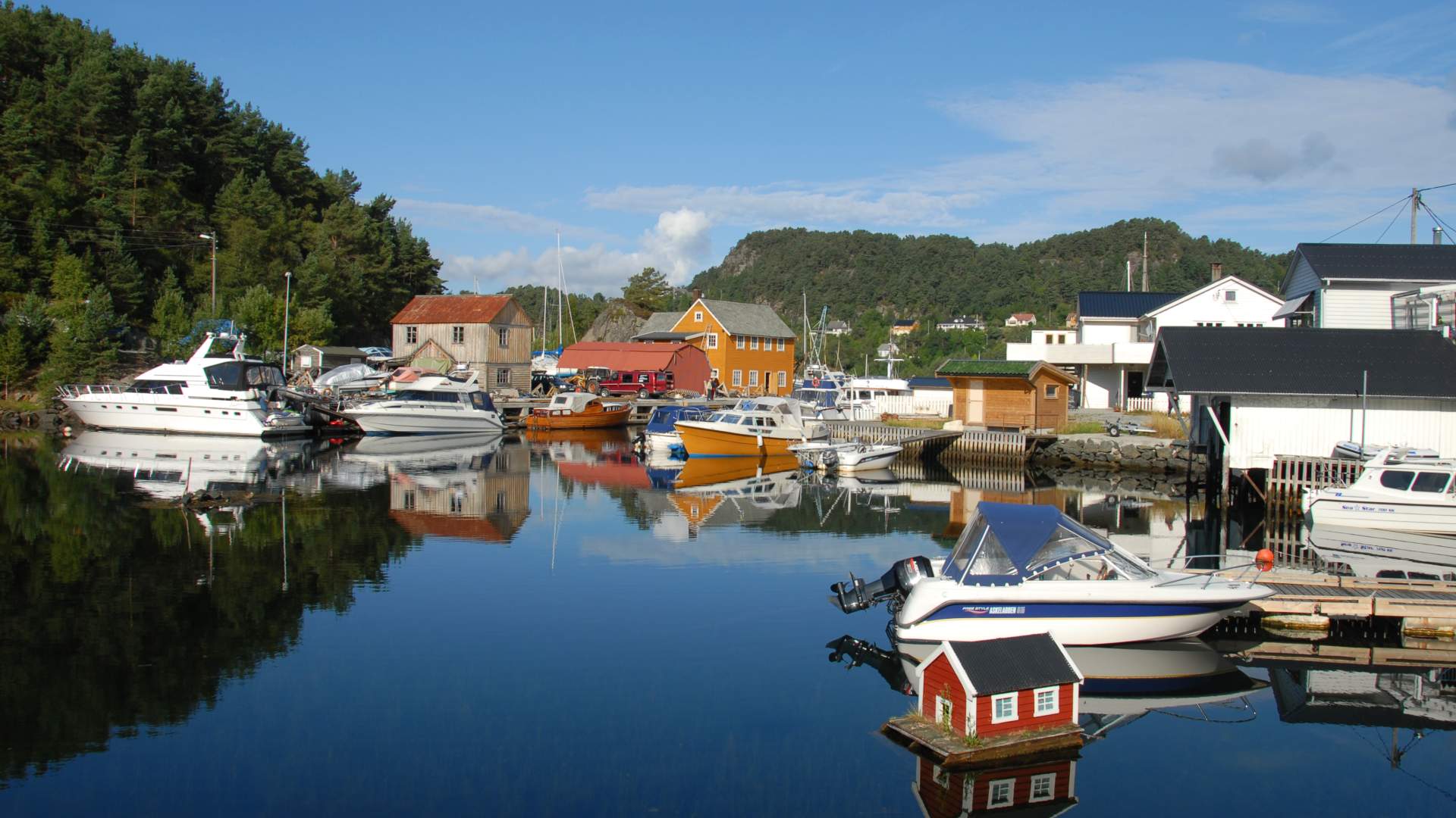
Follow cycling sign no 1 towards Haugesund (to the left) on Sagvågsvegen road towards the centre of Sagvåg, where there is a grocery shop and service station. Sagvåg quay is situated about 100 metres from Sagvågsvegen road to the right of the grocery shop. This is a nice area with benches, tables and an information board.
Follow the road from the centre of Sagvåg towards Leirvik, and cycle on a footpath past the sign to Kunsthuset at Almås (detour 0.9 km on the left) and then past another road to Sætravik bathing spot (detour 1.2 km on the right). After around 3.5 km, the road meets the E 39 road. Stick to the left and follow the signs to Leirvik over the footbridge (that crosses the E 39 road) and on behind Heiane Storsenter (shopping centre). Follow the blue signs towards Leirvik past Langeland school. The road meets Verftsvegen and you can take a detour down to Aker Solutions Stord, Sunnhordland's largest industrial employer.
You can alternatively follow the footpath towards the centre of Leirvik, along Andedammen pond and down to Stord Kulturhus and the marina.
Degree of difficulty: Average
Trail length: 18 km
Surface: Tarmac and gravel roads in places
Source: Samarbeidsrådet for Sunnhordland
Cycle route, round trip Litlabø and Sagvåg (18 km)