Family trip to Svartfjell (10 km)
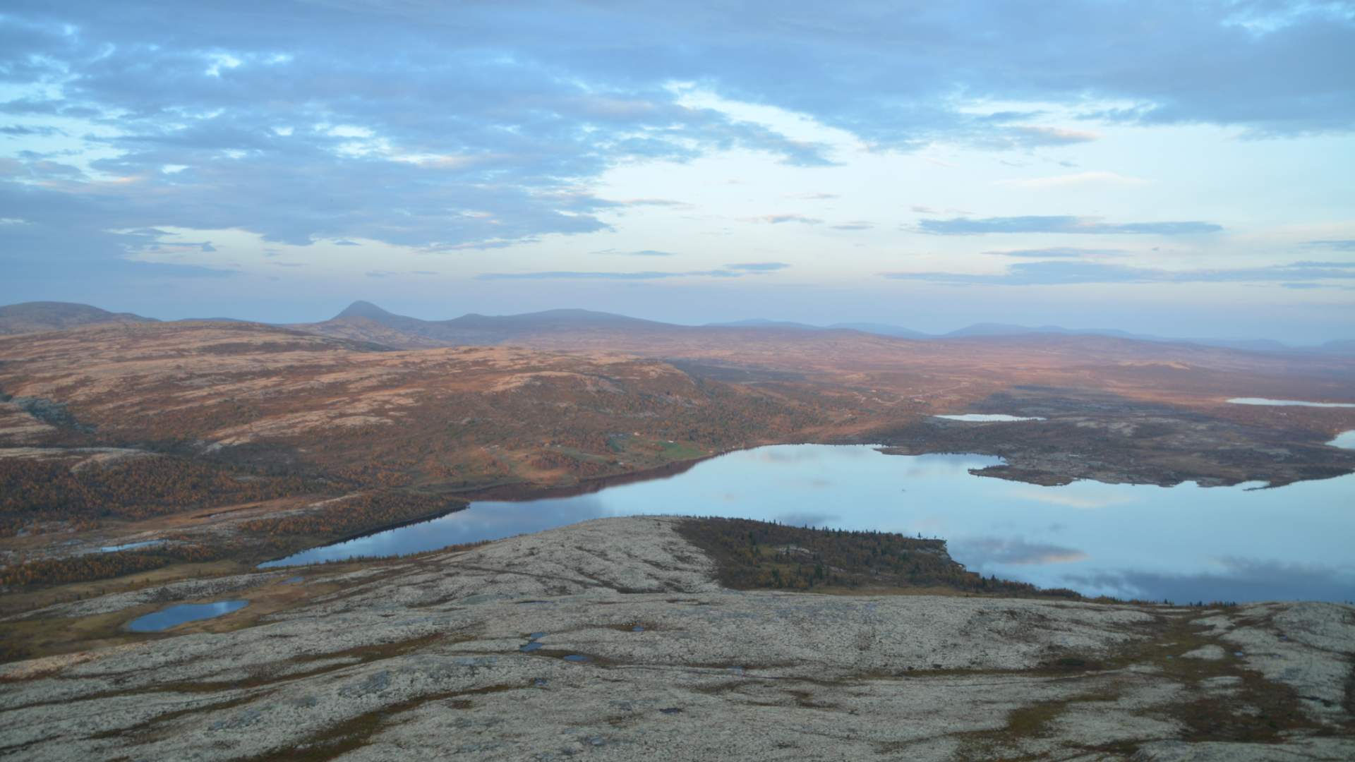
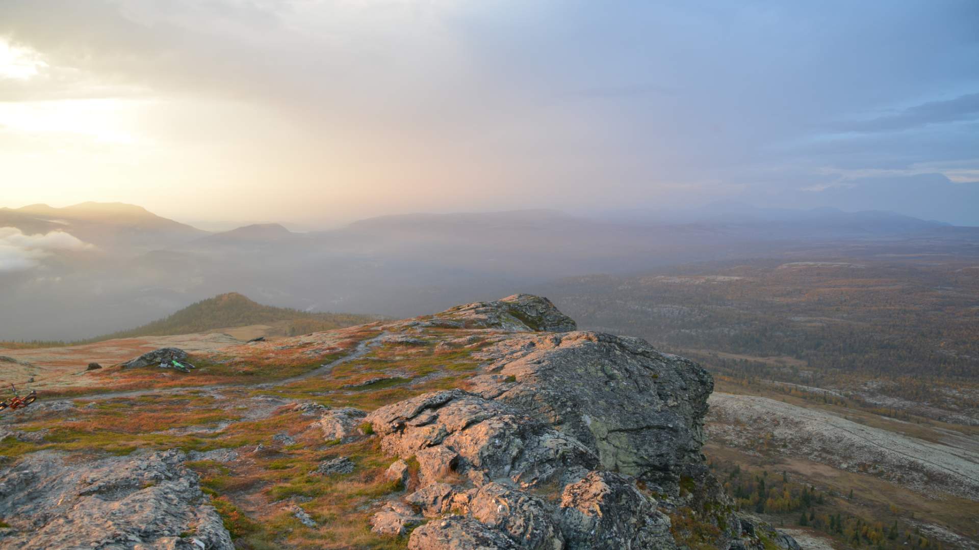
The trip to Svartfjell offers spectacular scenery with mountains, lakes and views of Rondane.
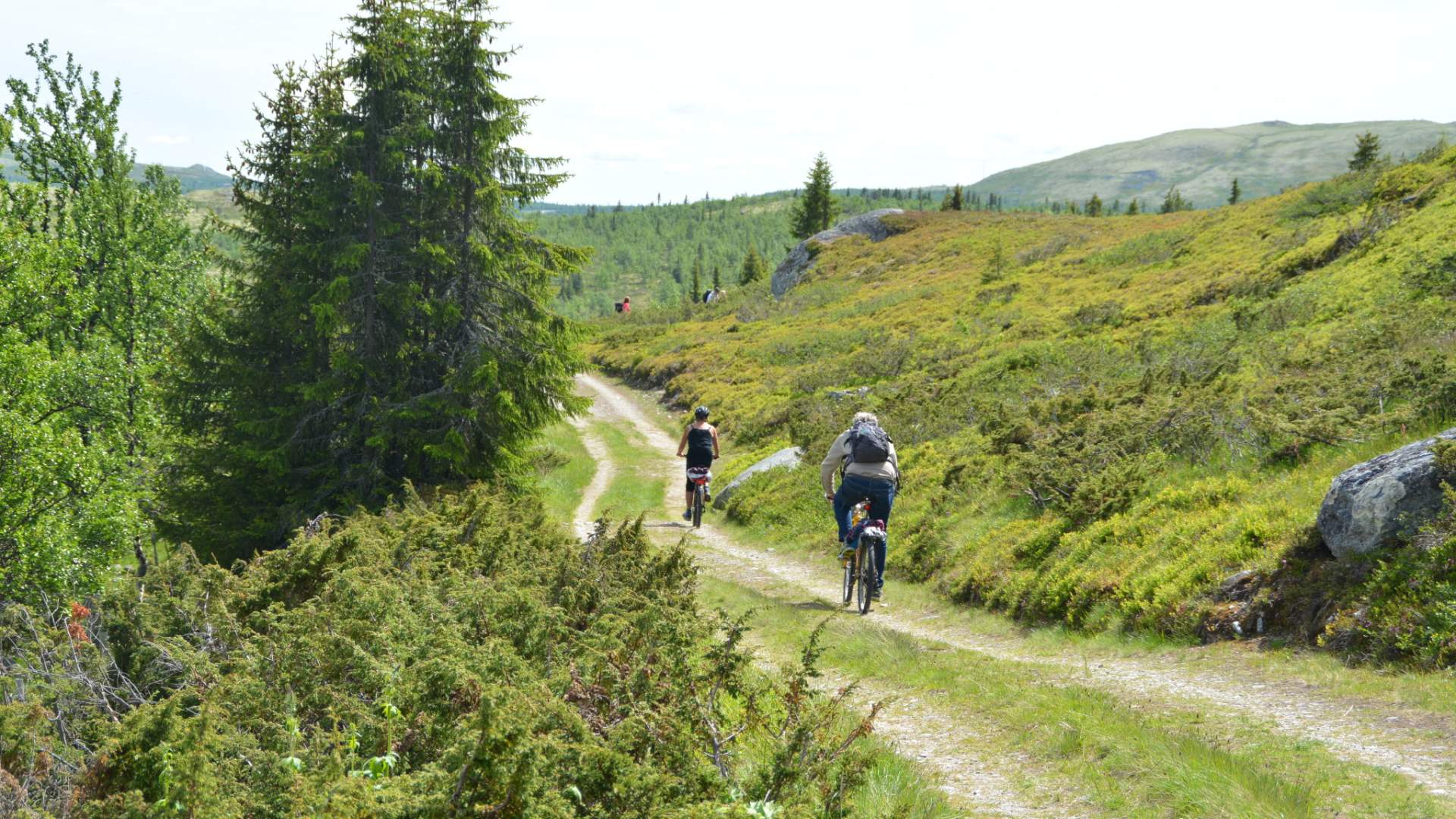
The trip to Svartfjell offers spectacular scenery with mountains, lakes and views of Rondane. Leading through the Venabygdsfjellet mountain landscape on dirt-roads, the route is suitable for anyone able to ride a bike.
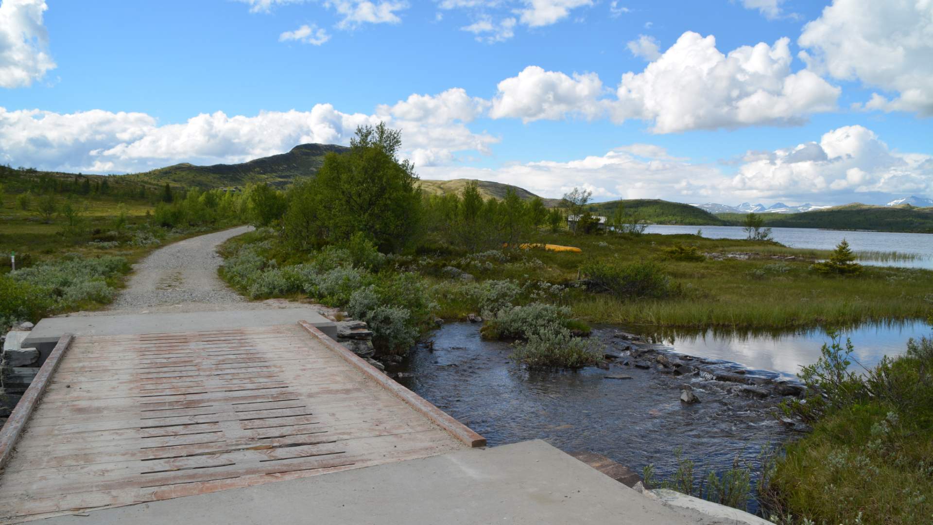
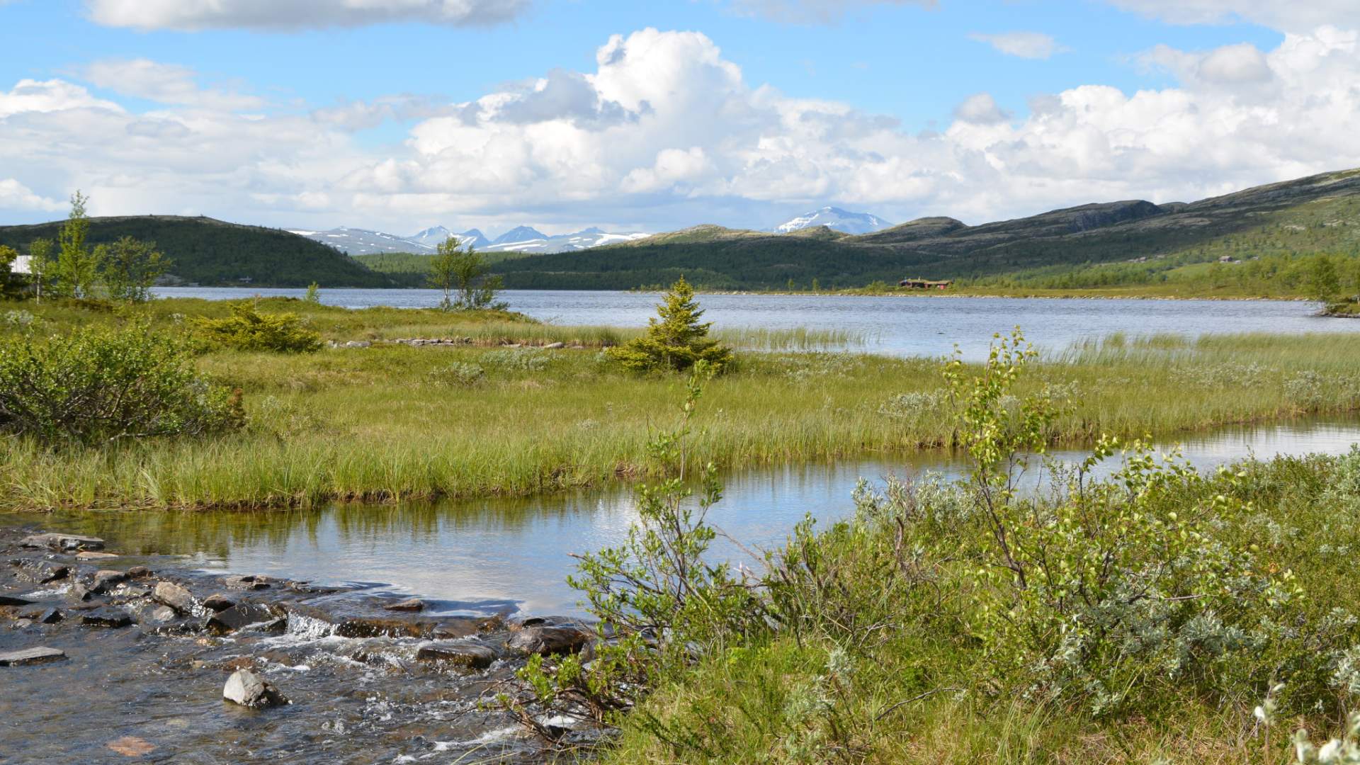
Start at Flaksjølivegen by Spidsbergseter. Ride in direction Flaksjøen until you reach the junction with Svartfjellvegen. Turn onto this road and continue for 2 km (beautiful views of Rondane from the bridge across the stream); some uphill sections, but good-quality road all the way to the foot of Svartfjell. This is a good spot to leave the bikes (maybe a bit concealed?), and hike to the top of Svartfjell – approx. 45 min walk each way. Or, you can just enjoy the views down towards lake Flaksjøen before returning.
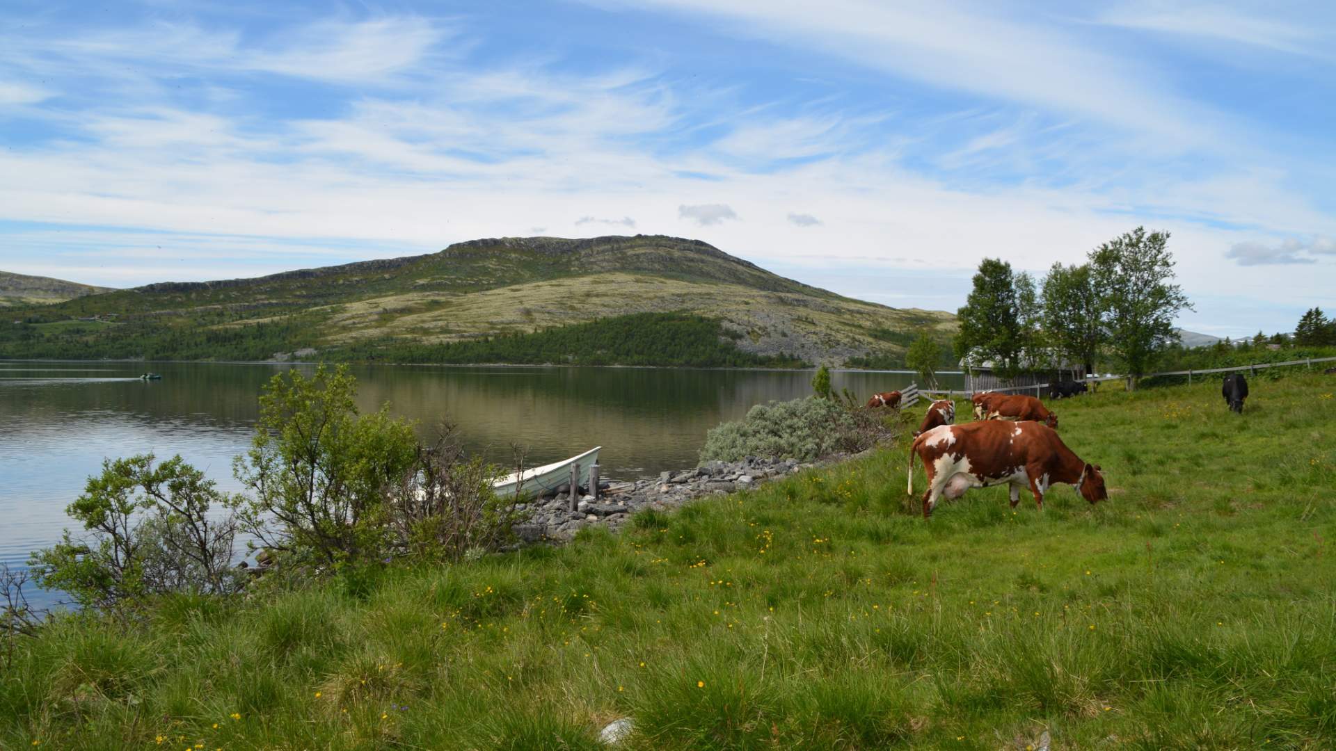
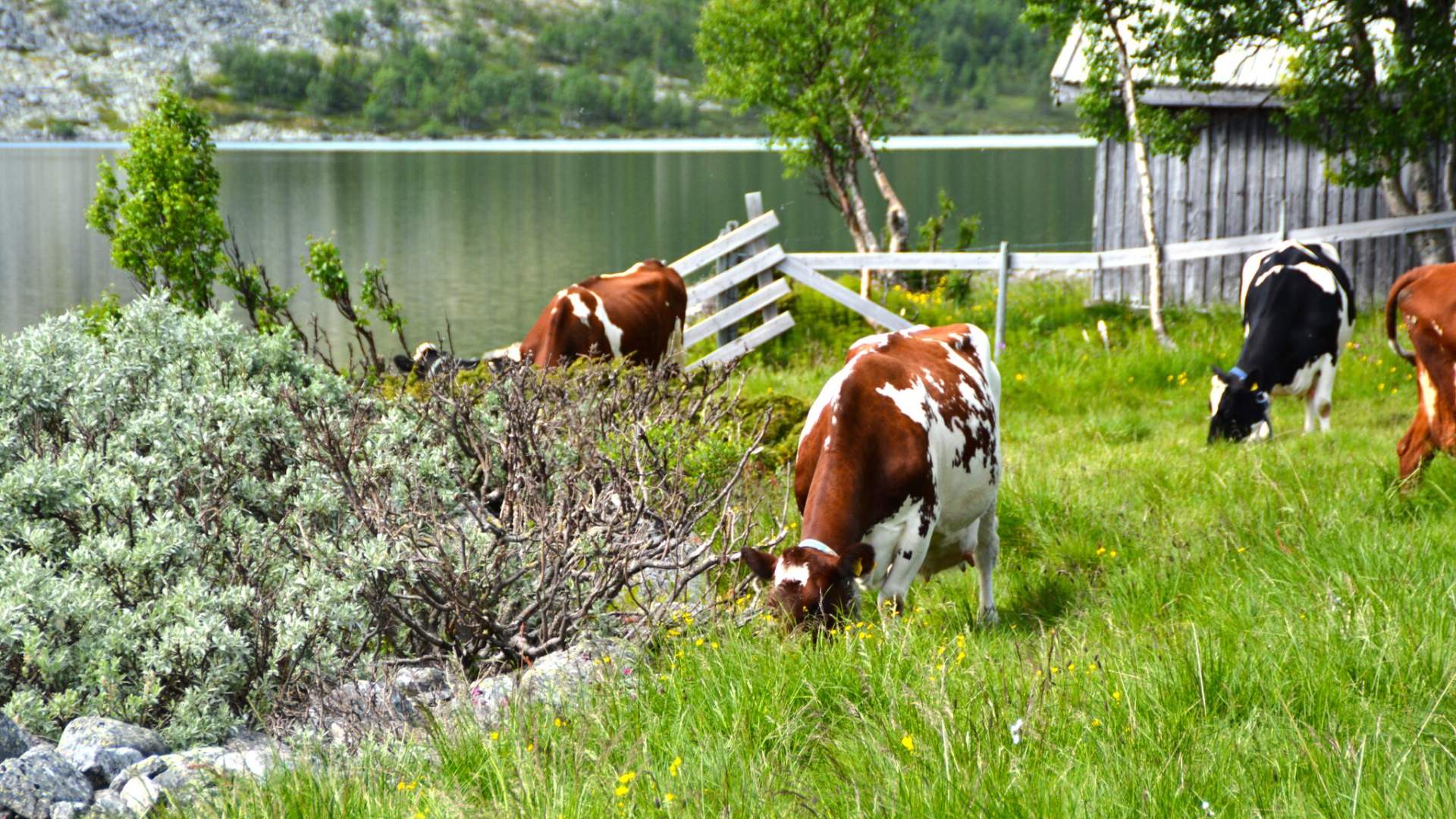
If you are looking for a good picnic spot, and still have some energy left after the Svartfjell hike, a ride to the moorings at lake Flaksjøen before returning is recommended. To get there follow Svartfjellvegen to Flaksjølivegen towards Spidsbergseter. When you reach the junction, continue straight ahead for some 500 metres, and then follow the dirt-road on your left (downhill). This will take you to a lovely area with a turf hut and a quay. There are usually cattle out grazing on their summer pasture – all very idyllic.
Bicycle routes in the mountains are not way-marked, but there is a hiking map and you can also use the Stolpejakten app where you can see exactly here you are in the terrain.
Source: Visit Lillehammer
Family trip to Svartfjell (10 km)