Fjella tour area
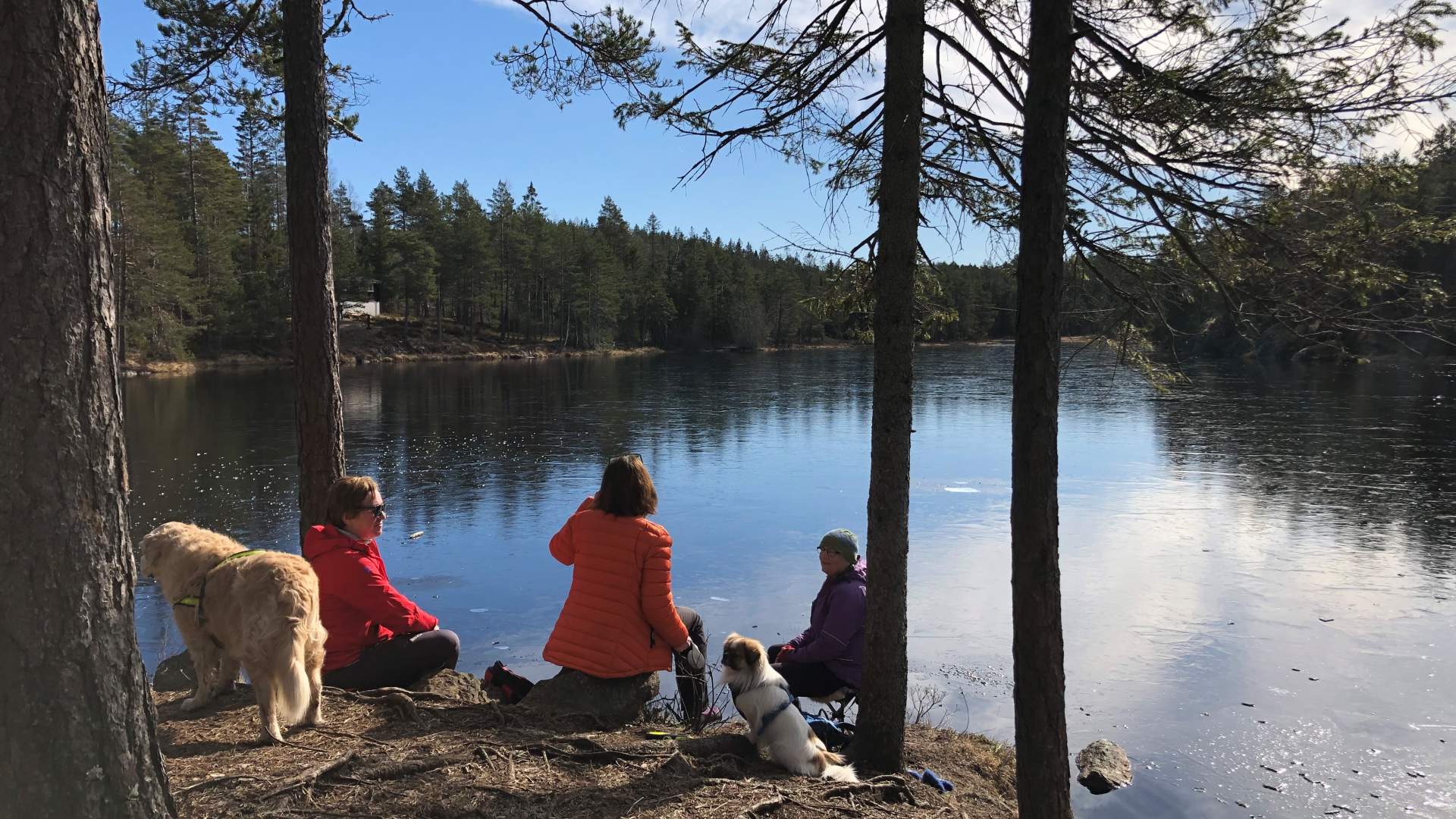
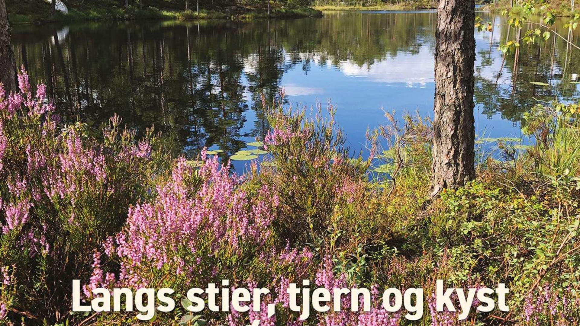
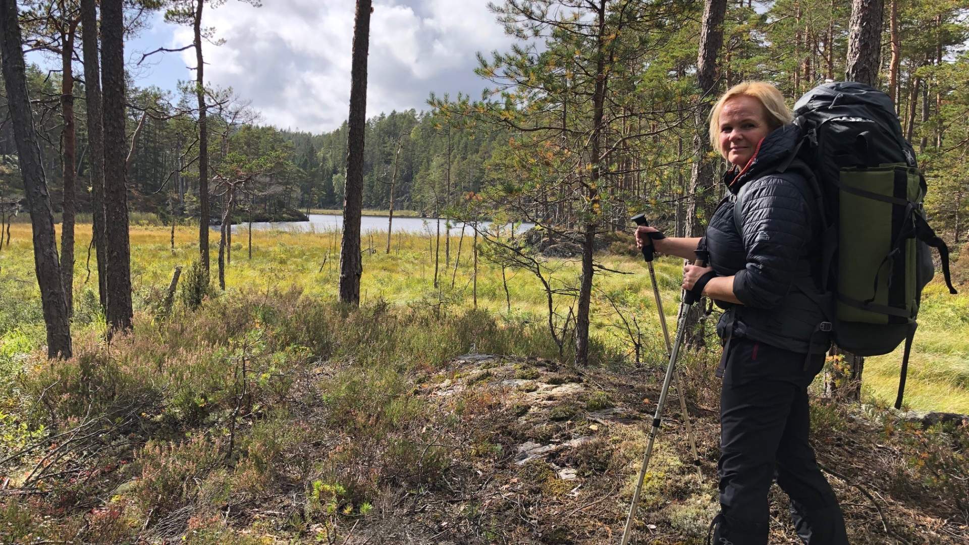
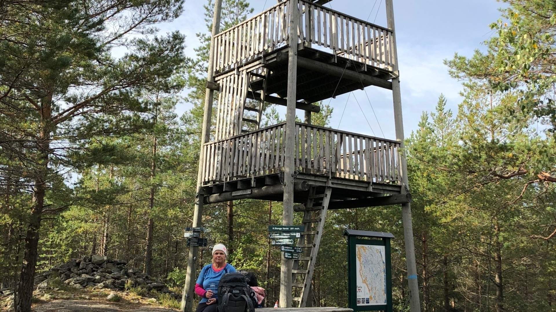
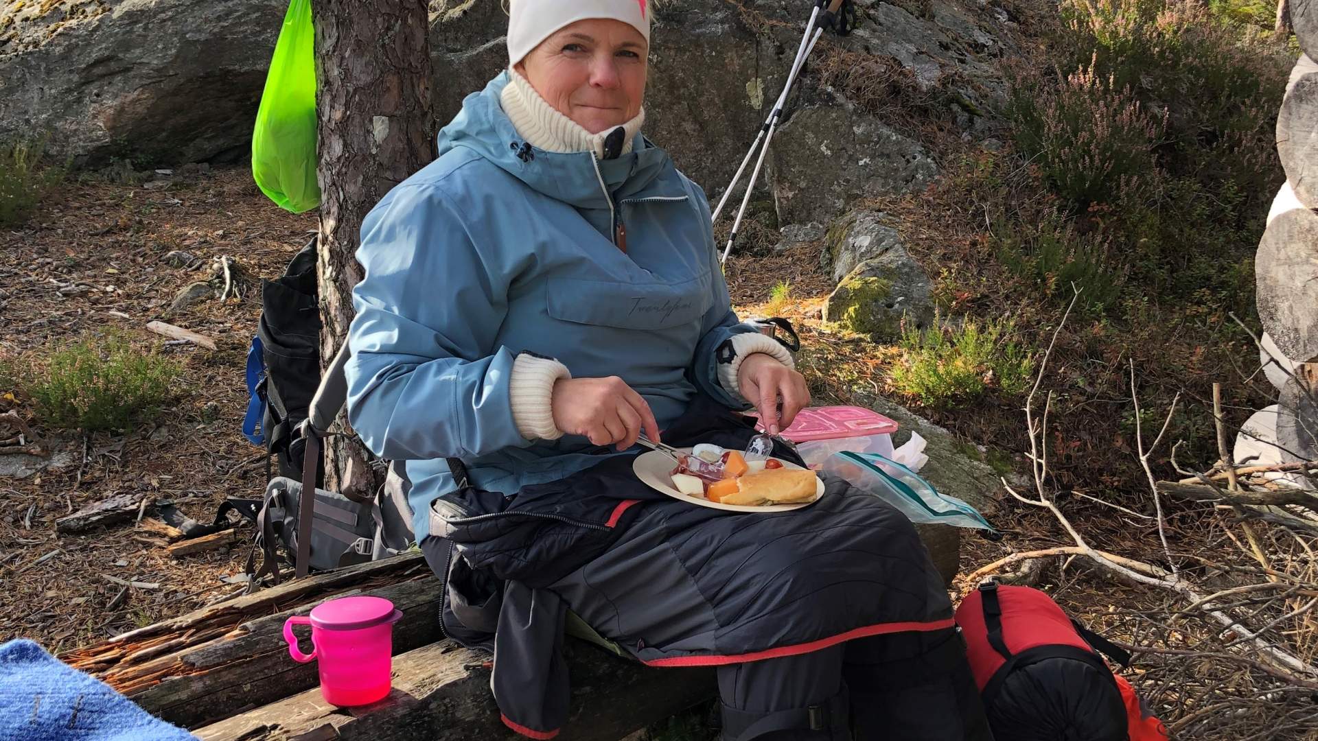
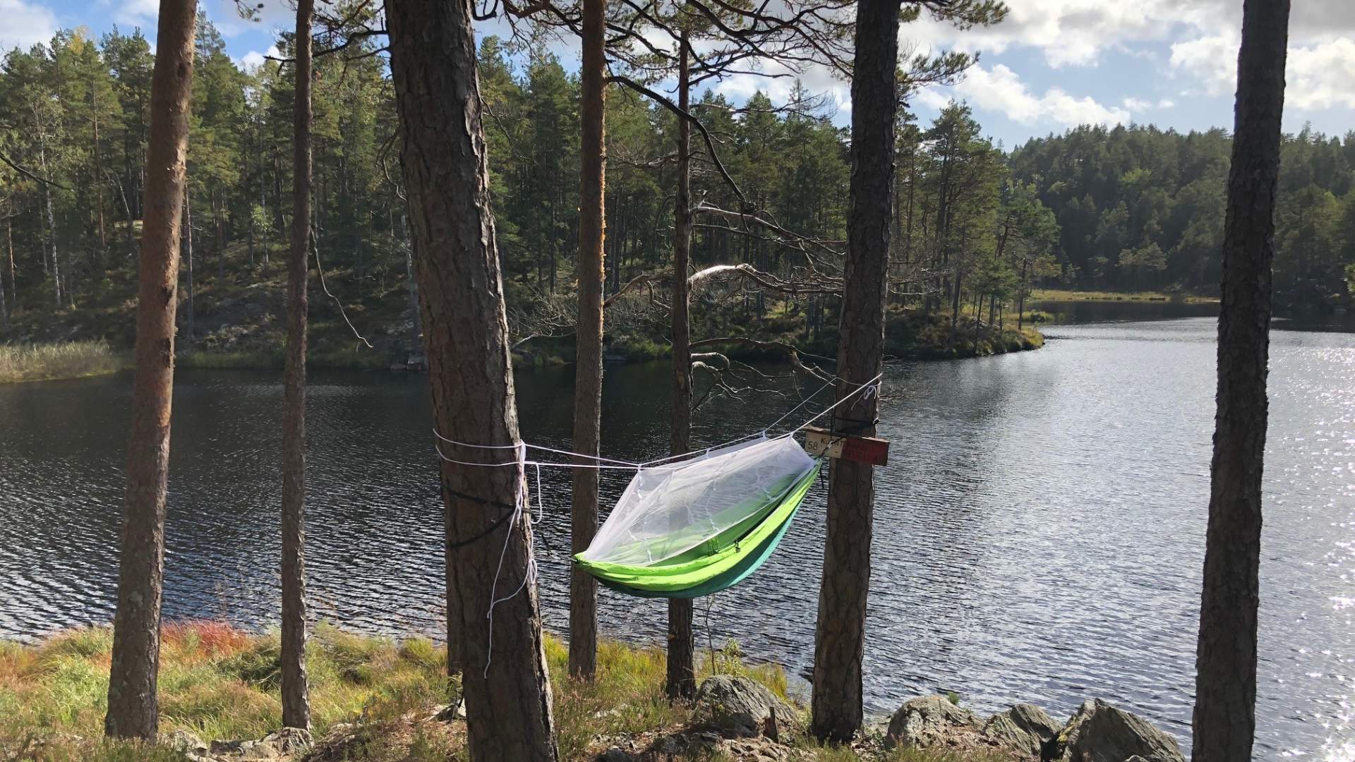
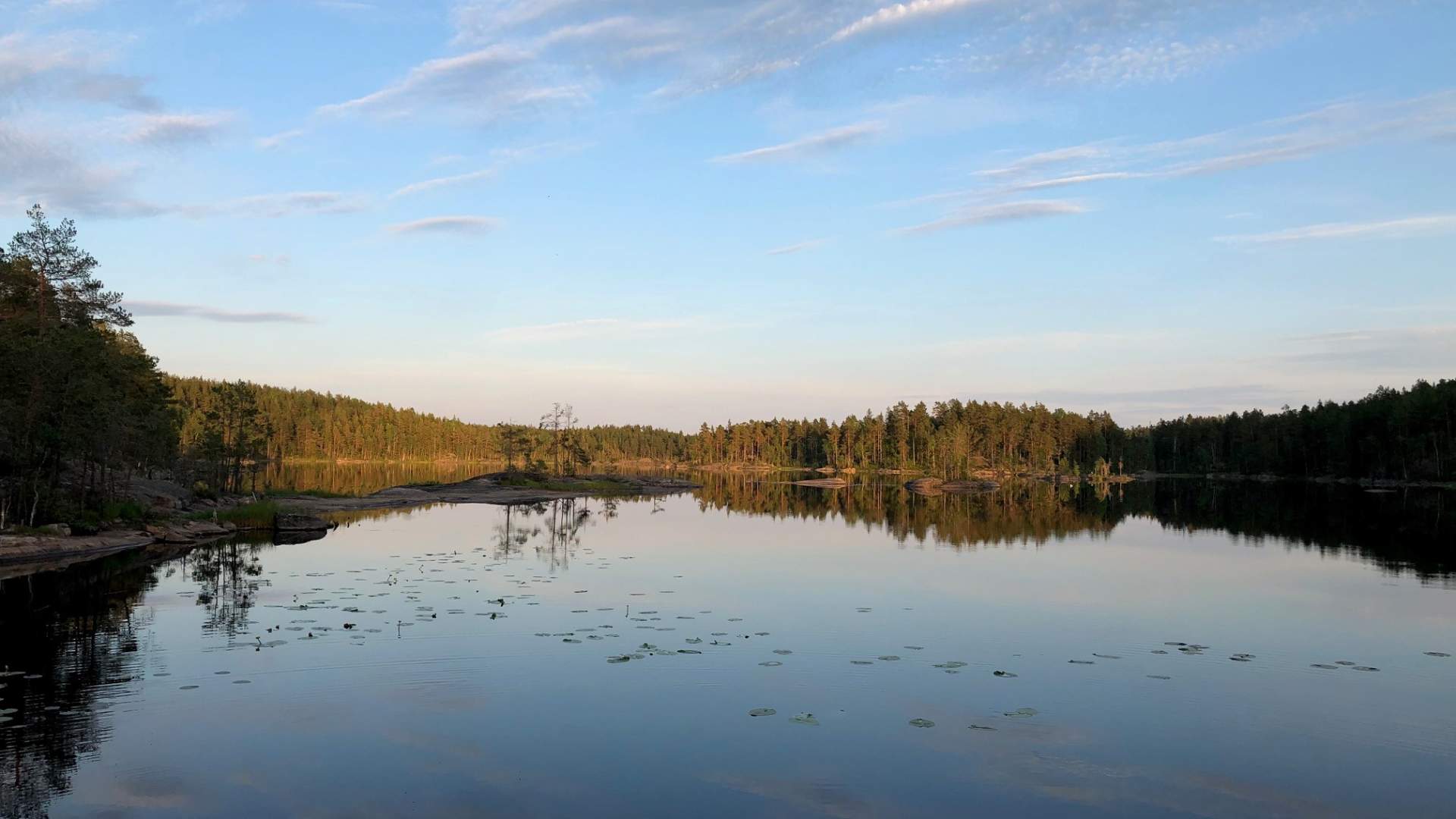
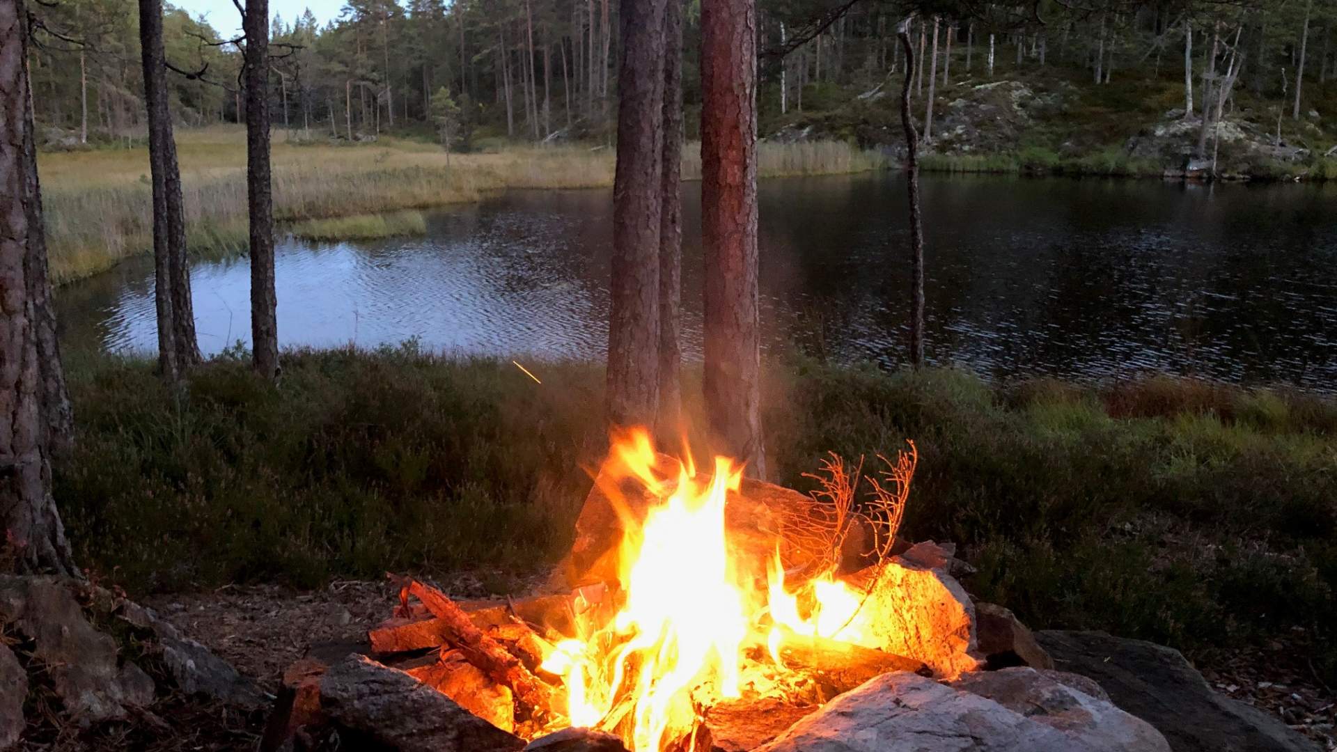
Fjella is a popular hiking area with miles of hiking and skiing trails, and it is widely used for outdoor activities, hunting and fishing.
"Fjella" (The Mountains) is a big coherent forest area. It includes Trømborgfjella in Indre Østfold, Rakkestadfjella in Rakkestad and Vestfjella in Marker.
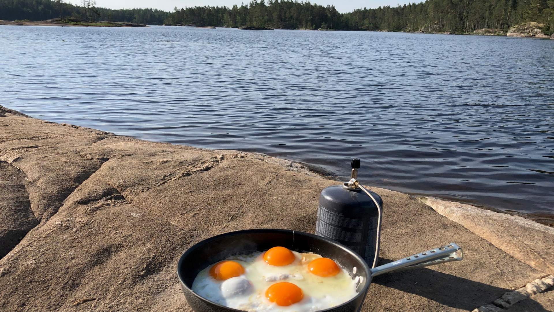
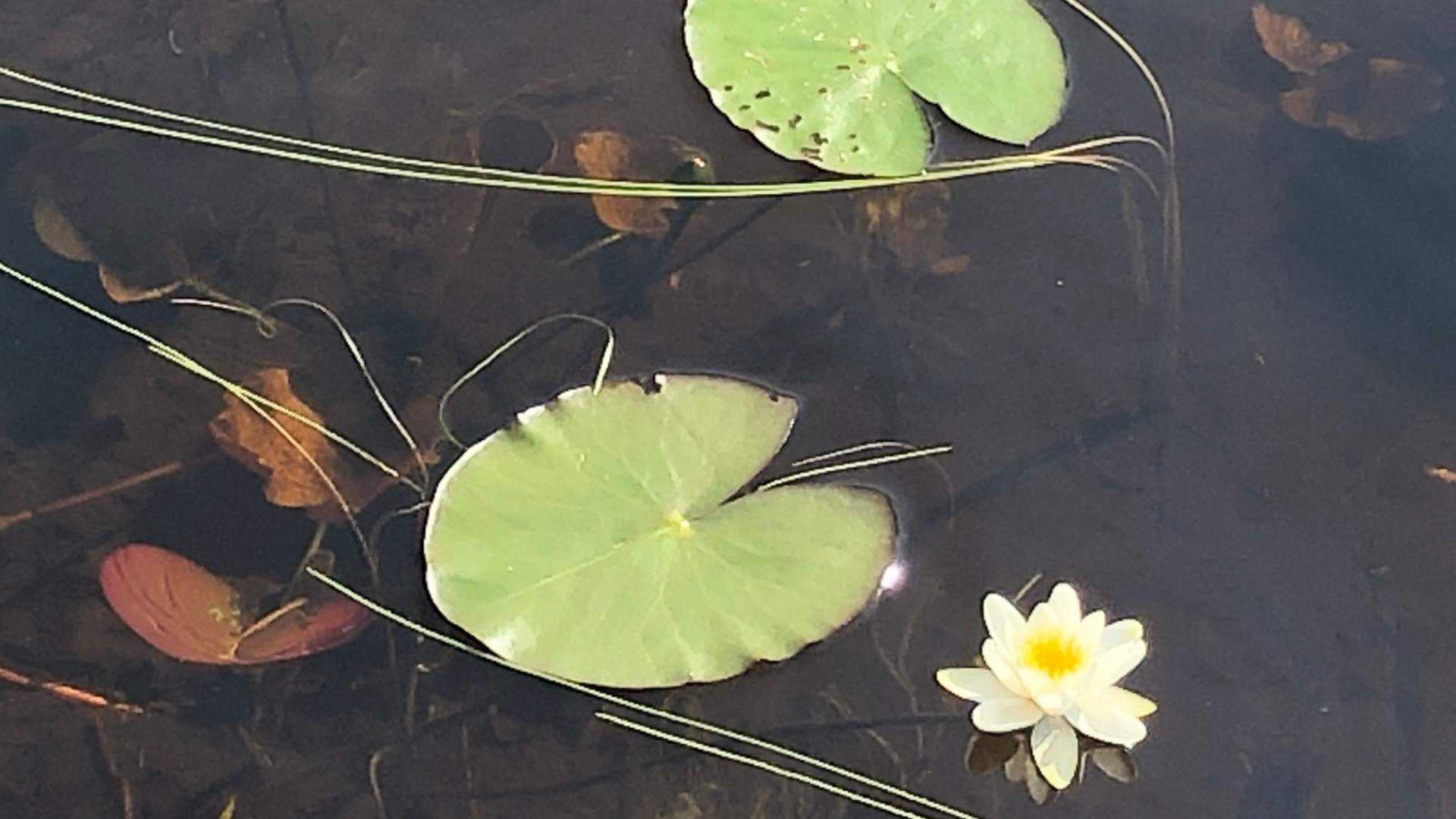
The area is between 150 and 300 meters above sea level, with the tallest point Linnekleppen at 325 moh in the south. The environment is not very occupied, with "koller", walls and smaller valleys dominated by pine woods and many small lakes and swamps. Fjella is a popular tourist area with miles of hiking and ski trails. It`s als used for a lot of fishing, camping and hunting.
Theres a couple of nature reserves in the area, where the biggest is Fjella nature reserve in Marker and Rakkestad. North is Fuglemosehøgda nature reserve in Marker and Indre Østfold, and in the west Hiesten nature reserve and Bøensmosen and Berbymosen nature reserve in Rakkestad.
There is a map over Fjella that you can buy at sporting stores and with us in Visit Indre Østfold.
Svein Syversen has written a trilogy about Fjella. Bind 1 in the trilogy Fjella in Indre Østfold - the great, coherent forestarea, and talks about Trømborgfjella in Indre Østfold, Vestfjella in Marker and Rakkrestadfjella, but it also talks about the forest areas south to Degernes, Aremark and Halden. Bind 2 is about Degernesfjella and Vestfjella in Aremark. Bind 3 is about Ankerfjella, Erthemarka and Kornsjø in Aremark and Halden.
Svein Syversen also released the book "55 hiking trips in Østfold" featuring multiple hikes in Fjella in 2021.
You can also find useful tips on the facebook group Fjella Info.
Source: Visit Indre Østfold
Fjella tour area