Høyanger
Hike in the Fuglefjell
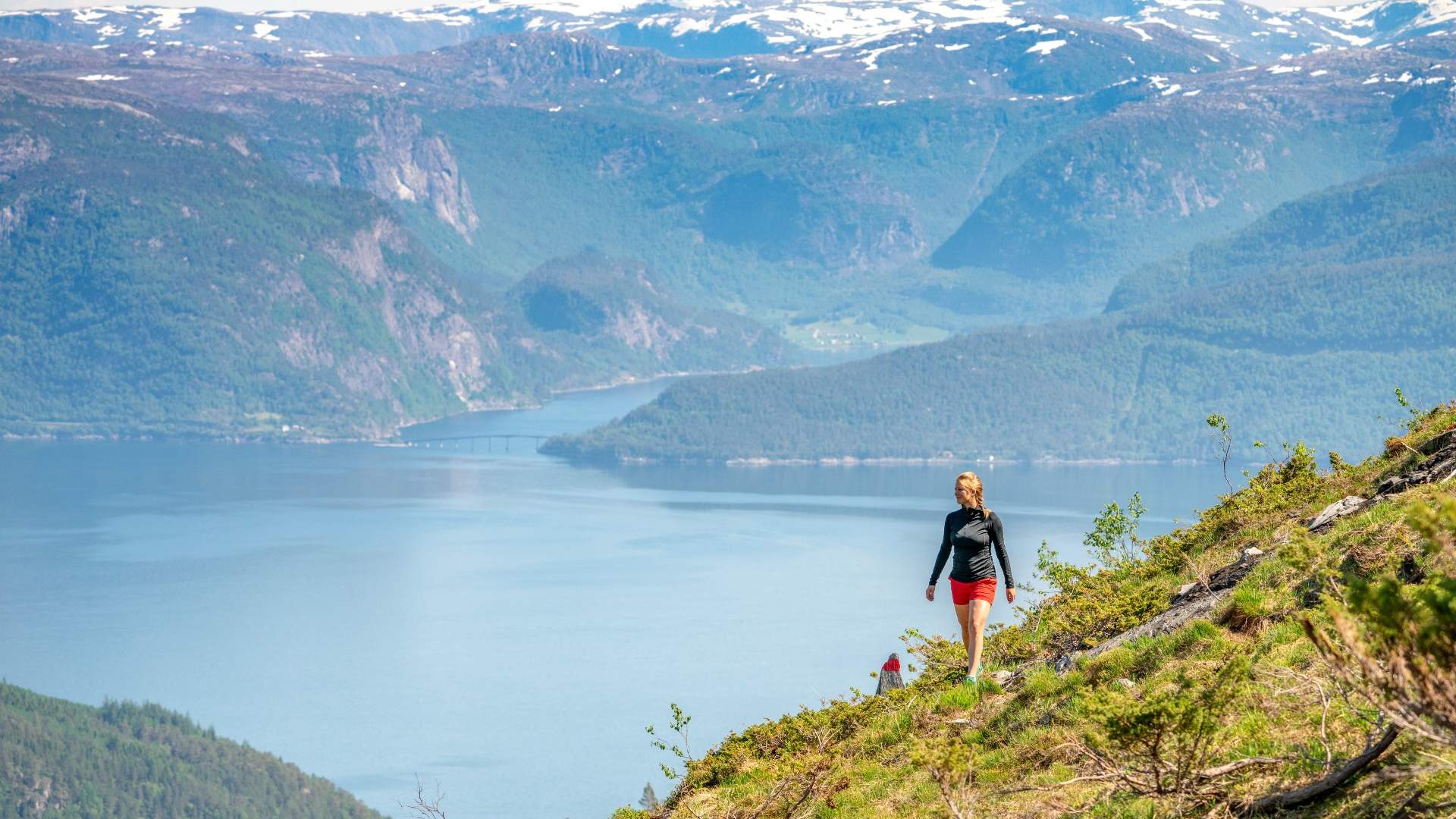

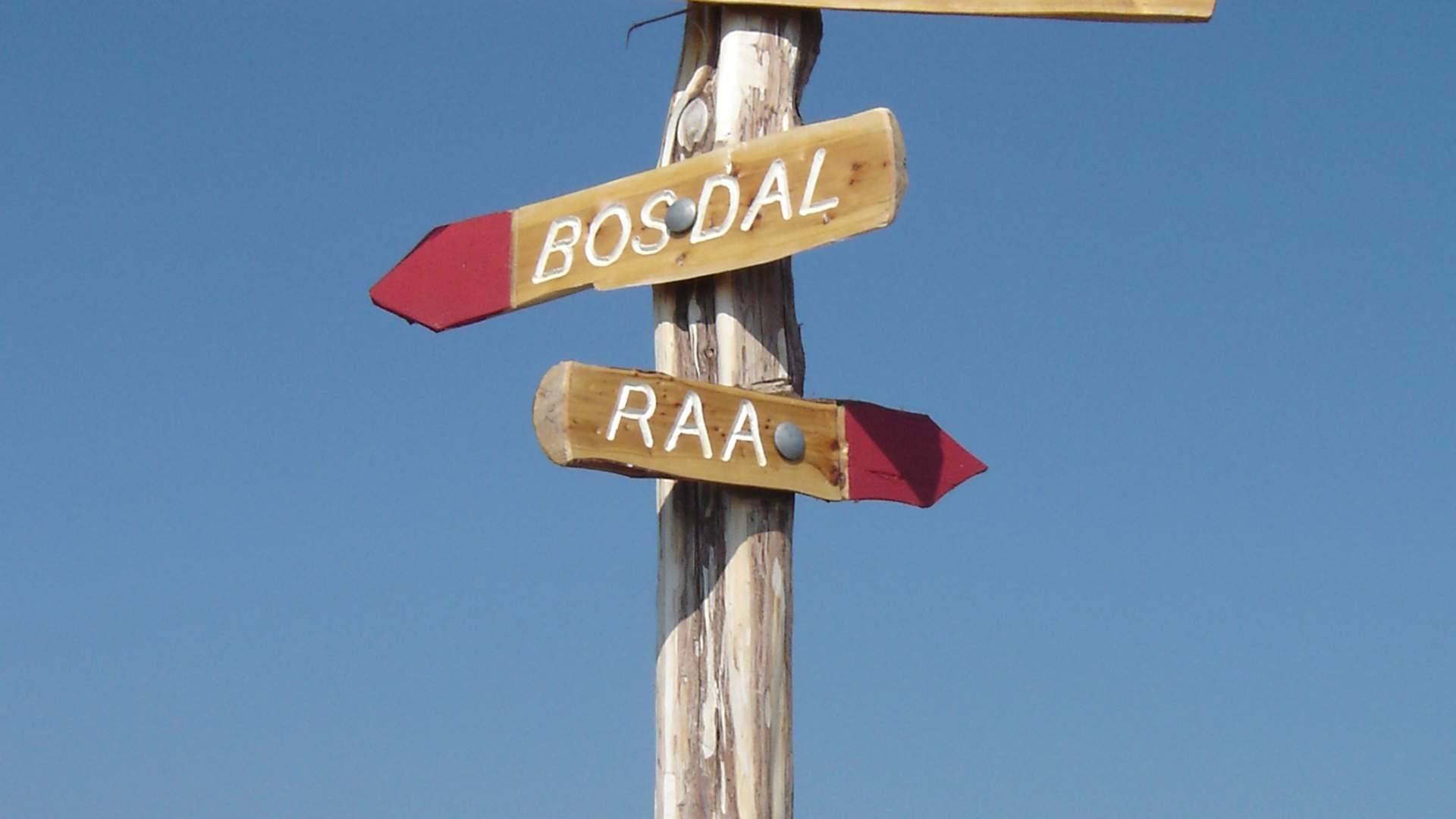
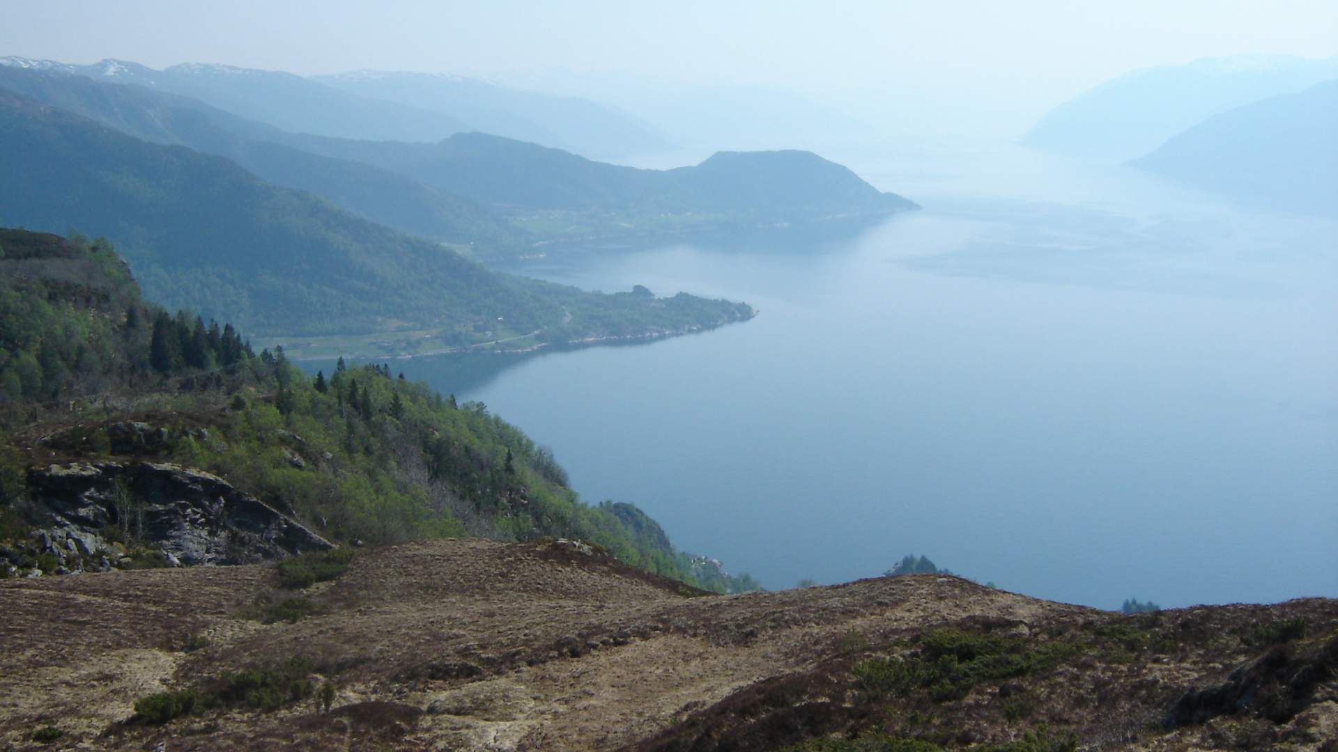
Start on the gravel road at Raa by E39. Walk along the road aboute 1 km until you get to a sign showing a road to the left leading into dence woods. At first a steep section, after wich you have climed above the tundra line and you are greeted with a view of the mighty Sognefjord. The last section is steep and flattens out at the summit. Alternative return routes. From Fuglefjellet you have a marvellous view over the Sognefjord and surrounding mountains. The trip is 5 km long with a height difference og 534 m.
Source: Visit Sognefjord AS
Hike in the Fuglefjell