Hike in the lit trail in Tveitedalen
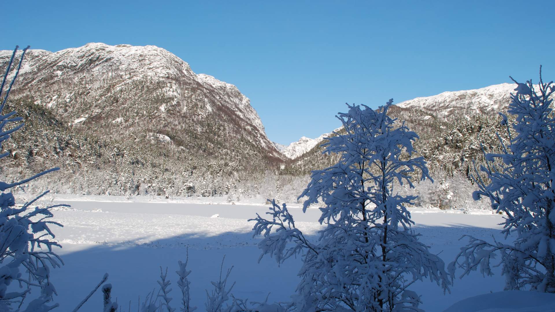
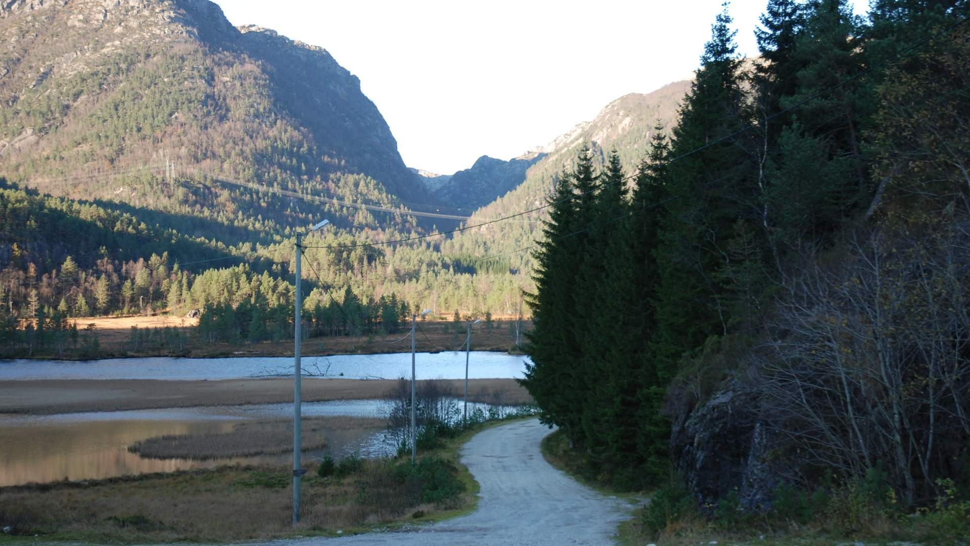
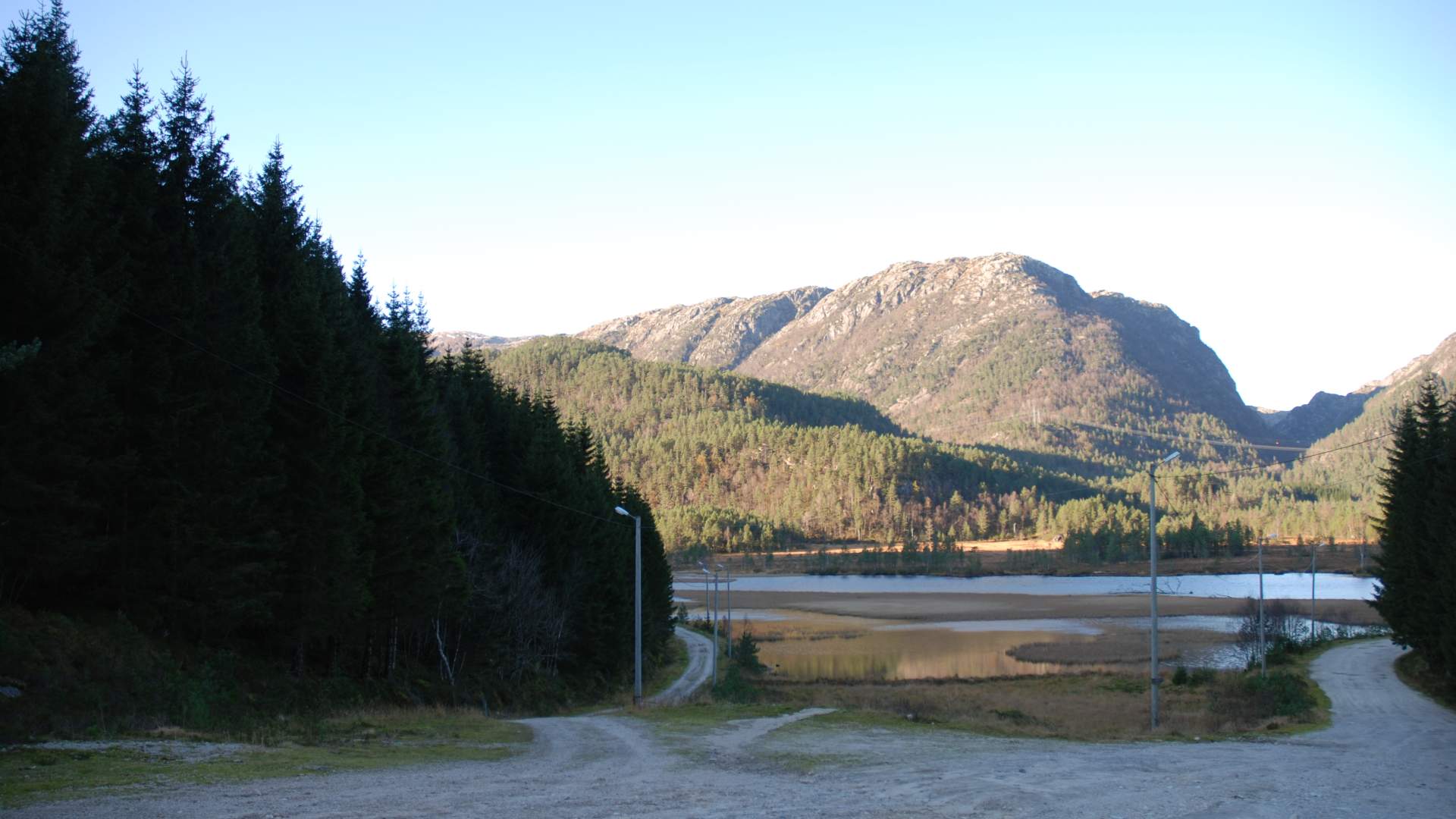
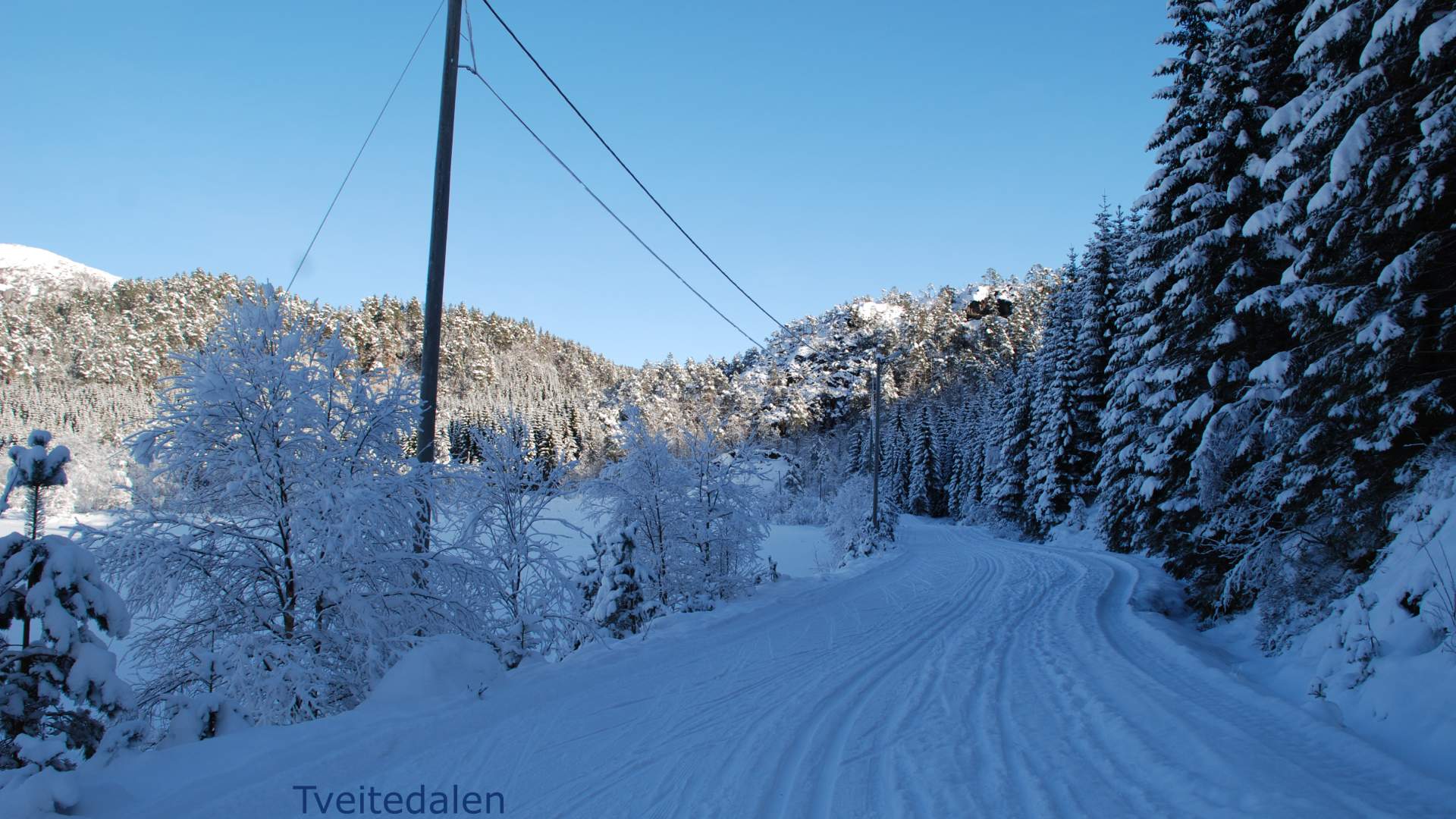
Nice walk to Tveitedalen.
Tveitedalen, Utåker
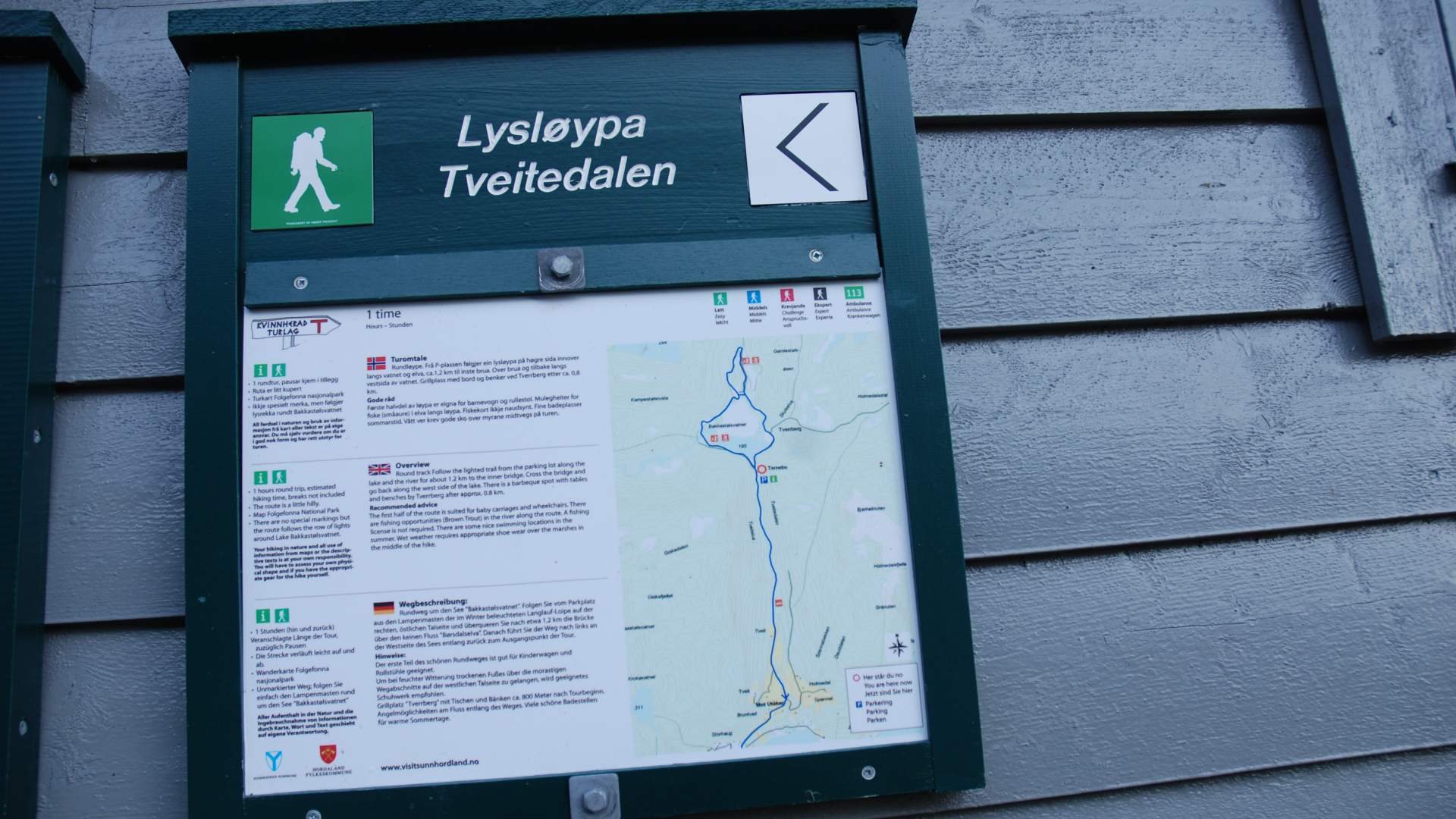
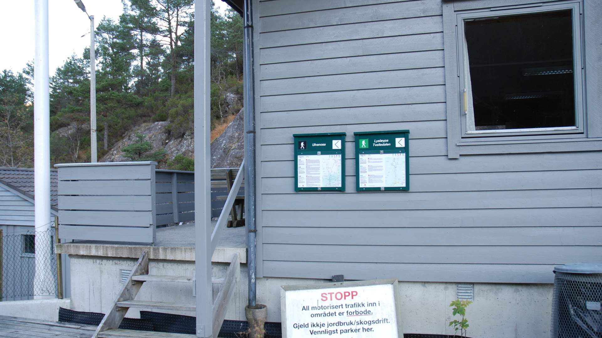
MapFolgefonna National Park Start and stopping point "Ternebu" in Tveitedalen.
ParkingBy "Ternebu", the skiing center in Tveitedalen. Turn towards Holmedal from the highway at the intersection before the ferry dock at Utåker. At the intersection after 1.5 km, the road goes north for 2.5 km towards the skiing center.
MarkingInformation Board by the "Ternebu". There are no special markings but the route follows the row of lights around Lake Bakkastølsvatnet.
GradingGreen. Parts of the round trip can be walked with a baby carriage, at least 1.2 km to the inner bridge.
Difference in altitudeThe route is a little hilly.
Estimated time1 hour round trip
Recommended adviceThe first half of the route is suited for baby carriages and wheelchairs. There are some nice swimming locations in the summer. Wet weather requires appropriate shoe wear over the marshes in the middle of the hike.
OverviewRound track Follow the lighted trail from the parking lot along the lake and the river for about 1.2 km to the inner bridge. Cross the bridge and go back along the west side of the lake. There is a barbeque spot with tables and benches by Tverrberg after approx. 0.8 km.
Source: Samarbeidsrådet for Sunnhordland
Hike in the lit trail in Tveitedalen