Uggdal
Hike - Myklestadskogen, Tysnes
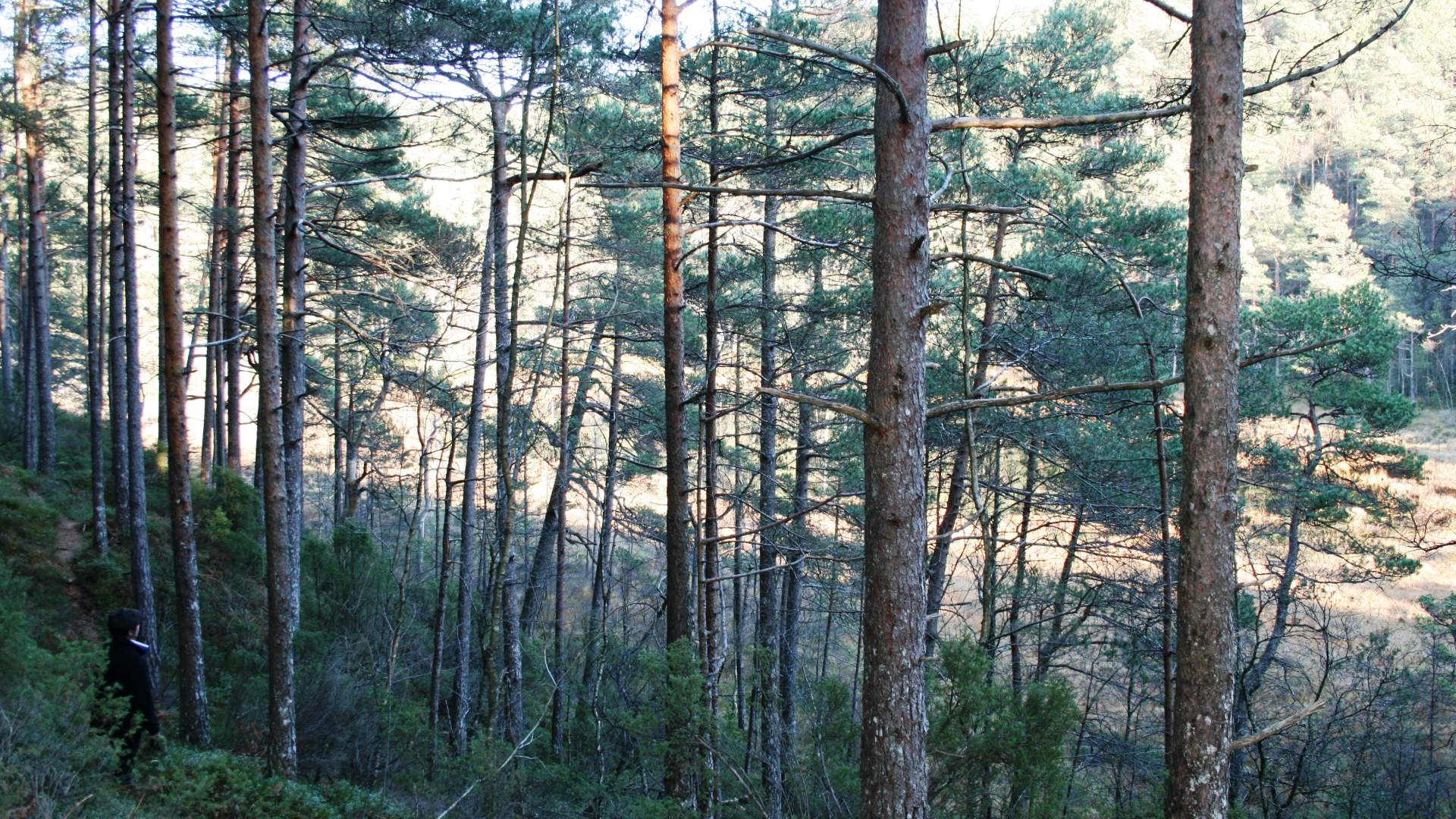

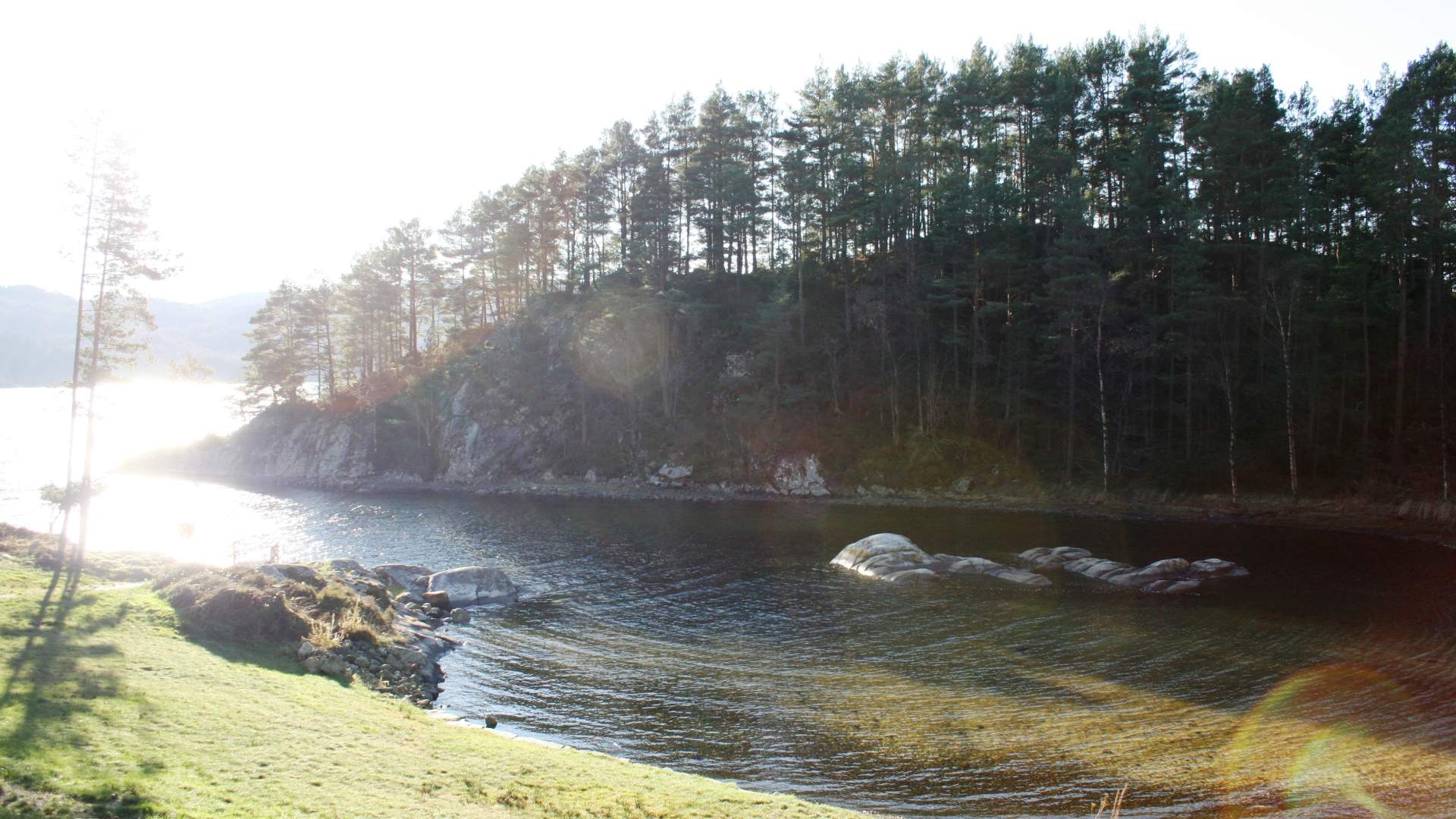
A nice round trip in the Myklestadskogen forest. Along the trail you can take a detour to a beautiful bathing spot at Kjevika.
Starting point and parking
Exit road at the tunnel at Uggdal
Altitude difference0–48 metres
Estimated time1 hour
Distance3.5 km there and back
MapTysnes 1:50 000
OverviewCircular trail from the car park at Heningen in Uggdal. From Hallgjerdsvika, you pass a number of cabins and then continue up a steep forest road to the right. Take a detour down to the beautiful bathing spot and recreational area at Kjevika. This is a beautiful walk in the tranquil pine forest.
A map can be bought at the tourist information office or at the Council offices in Uggdal or at the tourist information in Våge (summer season).
Source: Samarbeidsrådet for Sunnhordland
Hike - Myklestadskogen, Tysnes