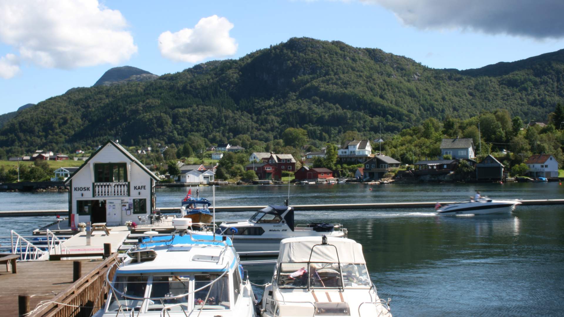
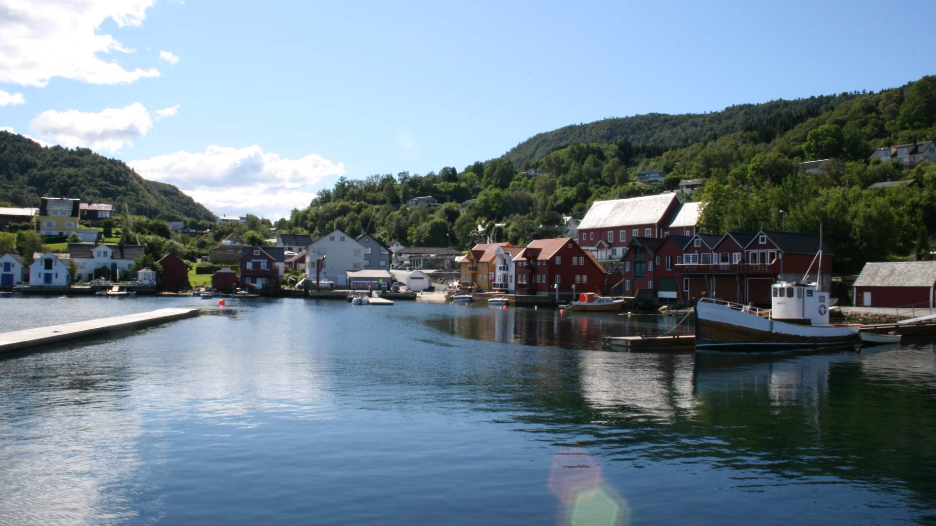
Tysnes
Hike - Ramnanuten
From the summit of Ramnanuten, there are magnificent views of Tysnesbygda and the Bjørnefjord.
Altitude difference
30–230 metres
Estimated time1 hour
Distance3.5 km there and back
Walking mapTysnes 1:50 000
Starting point and parkingTysnes school in Våge.
Description of walkCircular trail from the car park at Tysnes school. The path follows what is left of the pipe trench to the power plant Våge Lysverk, up Kleivo until you get to the lake and dam. From the summit, there are magnificent views of Tysnesbygda and the Bjørnefjord. Map with information about the trip can be purchased at the Tourist Information Office or at the Council offices in Uggdal.
Source: Samarbeidsrådet for Sunnhordland
Hike - Ramnanuten