Hike to Aterstad and Tverrfjell
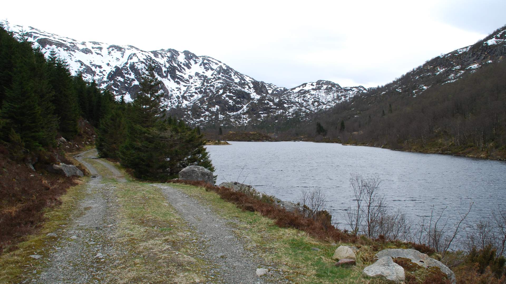
Aterstad is a gorgeous area, you may wish to walk along the east end of Lake Aterstadvatnet towards the bottom of the valley. There is a beautiful view of Omvikdalen from the top of Tverrfjell.
Omvikdalen
MapFolgefonna National Park
Start and stopping pointLanda
ParkingBy the farm Landa, at the upper east side of the valley. Follow the farm road for 200 meters from the intersection to the sign and information board by the parking lot.
MarkingThere are signs and an information board by the parking lot. The forest road to Aterstad is not marked. There are signs and T markings to Tverrfjell from where the path starts by the outlet from lake Aterstadvatnet.
GradingAterstad; Green. Easy hike, one boot according to the DNT system. Tverrfjell; Blue. Moderate hike, two boots according to the DNT system.
Difference in altitudeAterstad; 100 - 400m AMSL. Tverrfjell; 100 - 660m AMSL.
Estimated timeAterstad; 2 hours round trip Tverrfjell; 4 hours round trip
Recommended adviceIt is marshy around Lake Aterstadvatnet, so please use appropriate footwear.
OverviewQuality road over outlying fields from the parking lot all the way to Aterstad. The T marked path towards Tverrfjell begins by the sign for the rock footbridge over the outlet at the north end of Lake Aterstadvatnet. Aterstad is a gorgeous area, you may wish to walk along the east end of Lake Aterstadvatnet towards the bottom of the valley. There is a beautiful view of Omvikdalen from the top of Tverrfjell
Source: Samarbeidsrådet for Sunnhordland
Hike to Aterstad and Tverrfjell