Hike to Bjellandsnes
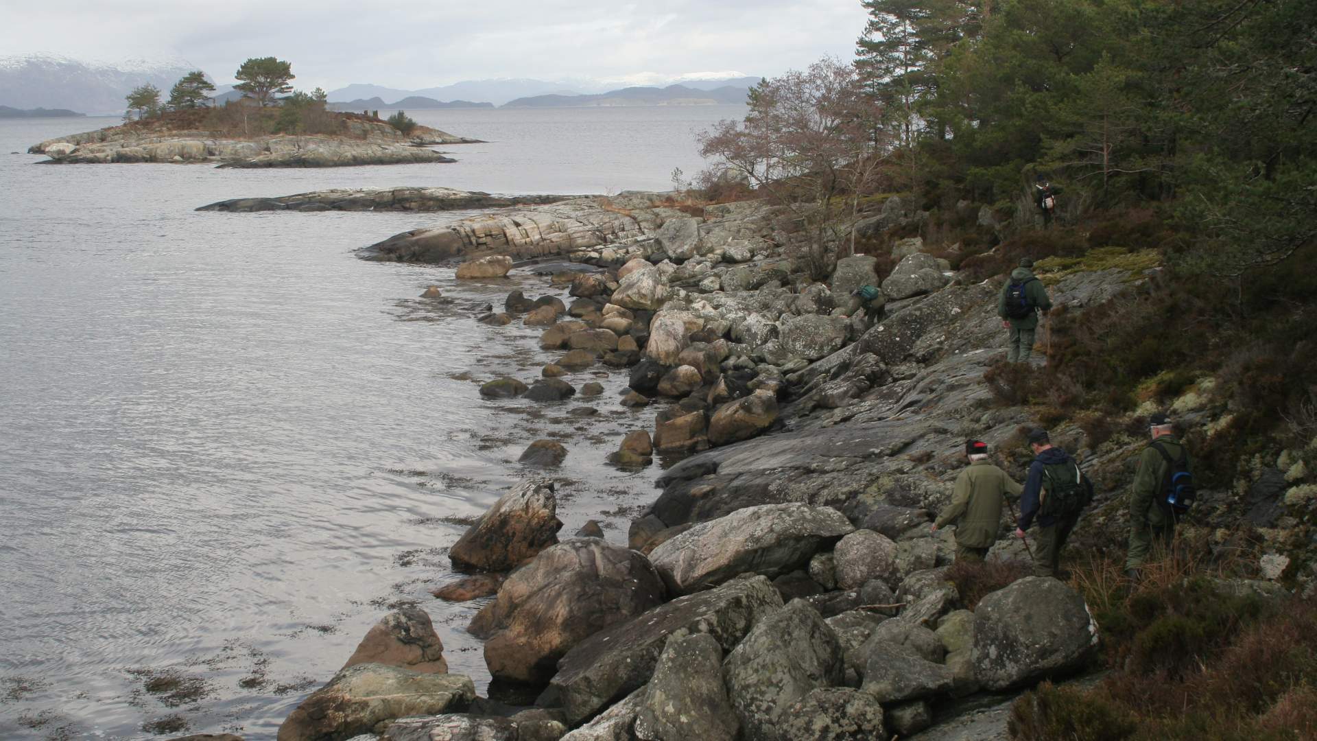
This is an idyllic round trip in typical west Norwegian forest terrain, in close contact with the Husnesfjorden.
Sunde
MapFolgefonna National Park. Topographical map series – M711, sheet 1214 IV – Husnes.
Start and stopping pointThe parking lot at the end of Vardhaugvegen in Bjelland where the forest road starts. Parking Drive over the bridge in Sunde center and turn right up to the intersection with the sign to Bjelland on the left. Follow the Bjellandsvegen road to the first side road on the right, at the top of the hill, Vardhaugvegen. At the end of Vardhaugvegen and past a small subdivision, there is a parking lot for 3 to 4 cars where the forest road begins.
MarkingInformation Board by the starting point. Red markings and sign sticks, signs.
GradingBlue Easy hike, one boot according to the DNT system.
Difference in altitude0 - 50m AMSL
Estimated time2 hours
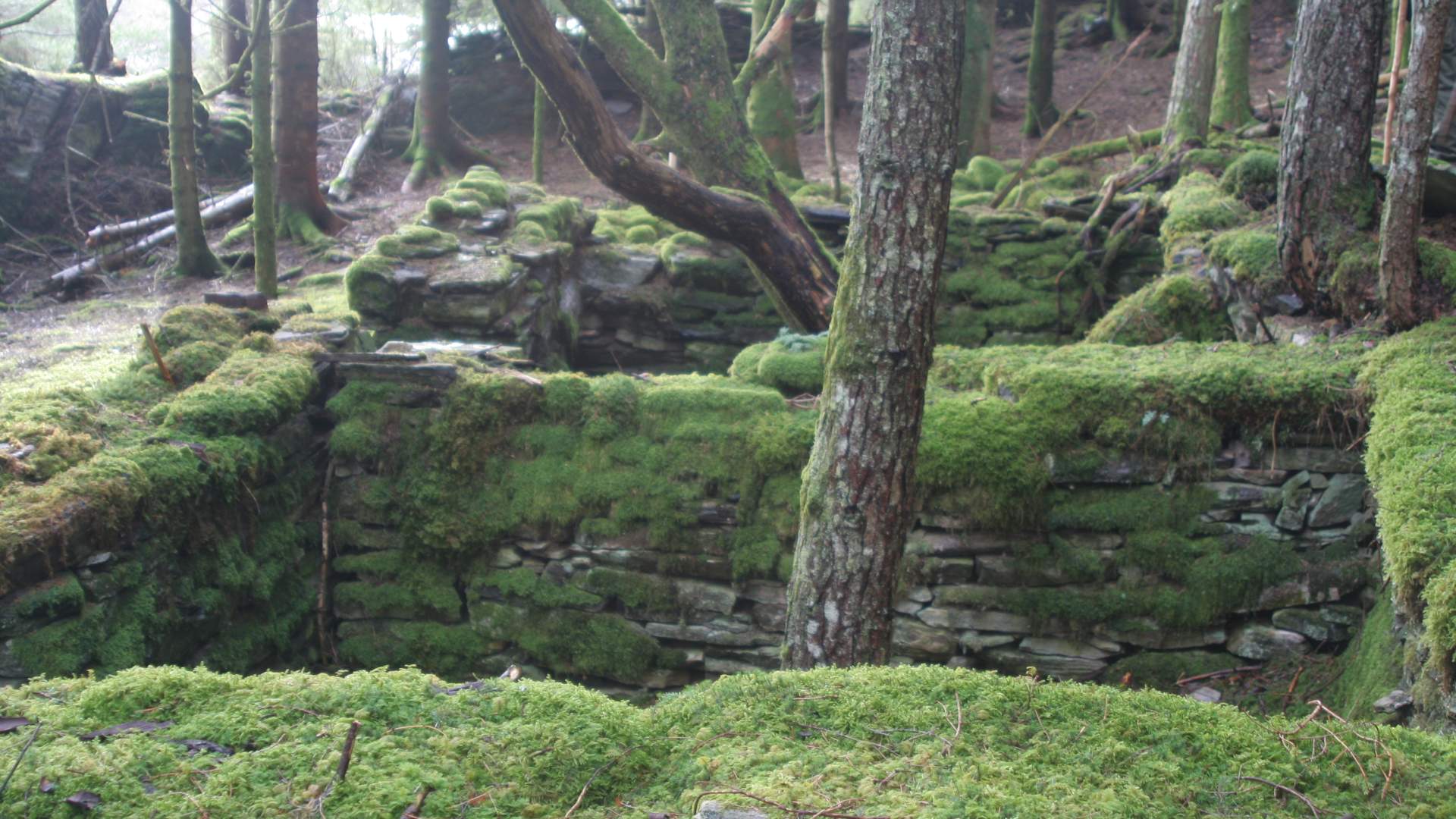
Recommended adviceThe hike goes in a nice forest terrain on forest roads and paths, but some parts can be wet. Alternative route at the beginning: From the lumber storage yard approx. 200 meters after the parking lot, as an alternative you can go the marked route to the left via the old cottar's farm "Holo". Notice the beautiful walls and reflect on the amount of hard work used to construct them at the time. This route comes back to the main route, see "Overview".
OverviewAfter approx. 1 km on the forest road from the parking lot, turn left on the path into the forest. At the tip of Bjellandsneset, you can find the burial mound "Storarøyso" from the Bronze Age. Continue past "Krabbhopen" in Åskesvik, which is nice resting and swimming area, and back to the forest road and to the parking lot. This is an idyllic round trip in typical west Norwegian forest terrain, in close contact with the Husnesfjorden.
Source: Samarbeidsrådet for Sunnhordland
Hike to Bjellandsnes