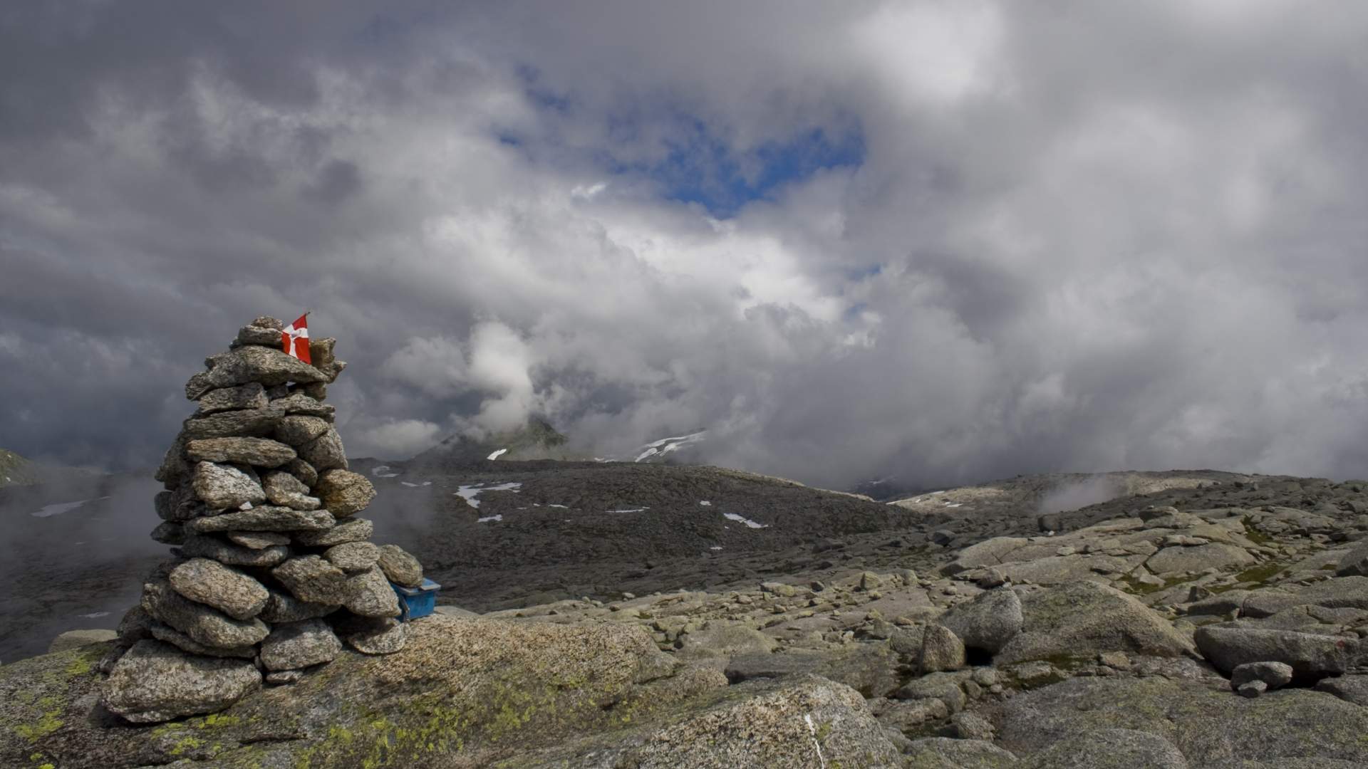
There was not an exact match for the language you toggled to. You have been redirected to the nearest matching page within this section.
Strawberry – a different hotel company
Scandic Hotels – in all major cities from north to south
Thon Hotels – with fantastic breakfast
Radisson Blu Hotels – discover your favourite destinations
Classic Norway Hotels – From distinctive hotels to authentic fisherman's cabins
Citybox – modern and affordable hotels in a central location
DanCenter – your specialist in holiday homes in Norway
Norgesbooking – book your perfect cabin stay in Norway
Campcation – book camping all across Norway with Campcation
Campanyon - discover unique stays in nature
Brim Explorer – silent fjord tours by electric catamaran
Stromma – Norwegian city sightseeing with bus and boat
Widerøe – the largest regional airline in Scandinavia
NOR-WAY Bussekspress – experience amazing scenery by bus
Vy express – travel with bus throughout Norway
AutoEurope – always a smooth car rental experience
Rent-A-Wreck – the smart car rental alternative
Arctic Campers – Norway’s camper van rental
Cabin Campers – your cottage on four wheels
SJ NORD – the adventure starts on the train
Vy – travelling by train has never been easier
Hurtigruten – "The World’s Most Beautiful Sea Voyage"
Fjord Tours – Home of Norway in a nutshell® - Norway’s most popular tour
Authentic Scandinavia – Travel created by locals
Up Norway – Bespoke luxury tailored by insiders
Discover Norway – skiing, biking and hiking tours in Norway
Norrøna Hvitserk – expeditions and adventure holidays
Booknordics.com – hundreds of activities, tours and day cruises in Norway
Fjord Travel – let us show you the beauty of Norway!
Go Fjords – tours and activities all over Norway
50 Degrees North – unforgettable tailor-made and small group tours to Norway
Norwegian Holidays – low-price package holidays with Norwegian. Flight, hotel and rental car
My Nordic Travel – Do It Yourself, make your own itinerary
Ski holidays in Rauland – Go skiing in beautiful mountain nature
{{title}} {{:price}} - {{!preprice}} Price: {{?}} {{preprice}} {{/}} {{price}} {{:postprice}}{{postprice}}{{/}} {{?:pricing}} - {{pricing}} {{/pricing}}
Location Husnes Map Folgefonna National Park Start point, end point and parking At Husnes waterworks, 350 meters north of the roundabout on Helland. Length to hiking destination 4,8 km Marking • Information board at the start point. • T markings and signs along the path. Grading RED – Demanding hike. Difference in altitude 25 – 1.005 m AMSL Estimated time for total trip 5 hours Overview Cross the bridge south of the waterworks and follow the path straight ahead in the first junction. After a short walk, turn right to the path marked Mjelkhaug. There is eventually a somewhat steep incline up the Onarheimslia to 600 m AMSL, where the terrain flattens before another steep incline up to Mjelkhaug. There is a view of large parts of Sunnhordland, including the ocean and fjord towards the south and west, Manen, Englafjell and the Rosendal mountains towards the north, Ulvanosa towards the east. You will find Mjelkhaug in the DNT App SjekkUt. Recommended advice From the top, one should go to the Mjelkhaugsteinen rock which is located approx. 300 meters east of the cairn. The rock is visible from the ocean and in old times was used as a sailing marker. It is approx. 12 meters long, 7 meters wide, and 7 meters tall. An alternative return can be down over Svaneheia to the Vardhaugselet mountain farm, and via Nordfjell back to the parking lot. See also the routes from Valen, www.tursti.kvinnherad.no. Use your imagination to create round trips.
Location Husnes
Map Folgefonna National Park
Start point, end point and parking At Husnes waterworks, 350 meters north of the roundabout on Helland.
Length to hiking destination 4,8 km
Marking • Information board at the start point. • T markings and signs along the path.
Grading RED – Demanding hike.
Difference in altitude 25 – 1.005 m AMSL
Estimated time for total trip 5 hours
Overview Cross the bridge south of the waterworks and follow the path straight ahead in the first junction. After a short walk, turn right to the path marked Mjelkhaug. There is eventually a somewhat steep incline up the Onarheimslia to 600 m AMSL, where the terrain flattens before another steep incline up to Mjelkhaug. There is a view of large parts of Sunnhordland, including the ocean and fjord towards the south and west, Manen, Englafjell and the Rosendal mountains towards the north, Ulvanosa towards the east. You will find Mjelkhaug in the DNT App SjekkUt.
Recommended advice From the top, one should go to the Mjelkhaugsteinen rock which is located approx. 300 meters east of the cairn. The rock is visible from the ocean and in old times was used as a sailing marker. It is approx. 12 meters long, 7 meters wide, and 7 meters tall. An alternative return can be down over Svaneheia to the Vardhaugselet mountain farm, and via Nordfjell back to the parking lot. See also the routes from Valen, www.tursti.kvinnherad.no. Use your imagination to create round trips.