Hike to Opsangerneset
Opsanger, Sunde
MapFolgefonna National Park
Topographical map series – M711, 1214 IV – Husnes.
At the beginning of the forest on the left side about half way between the intersection at Opsanger and the speed boat terminal.
ParkingParking at the beginning of the forest road (a few cars), and at the parking lot at the industrial area right below the main road.
MarkingInformation Board by the starting point.
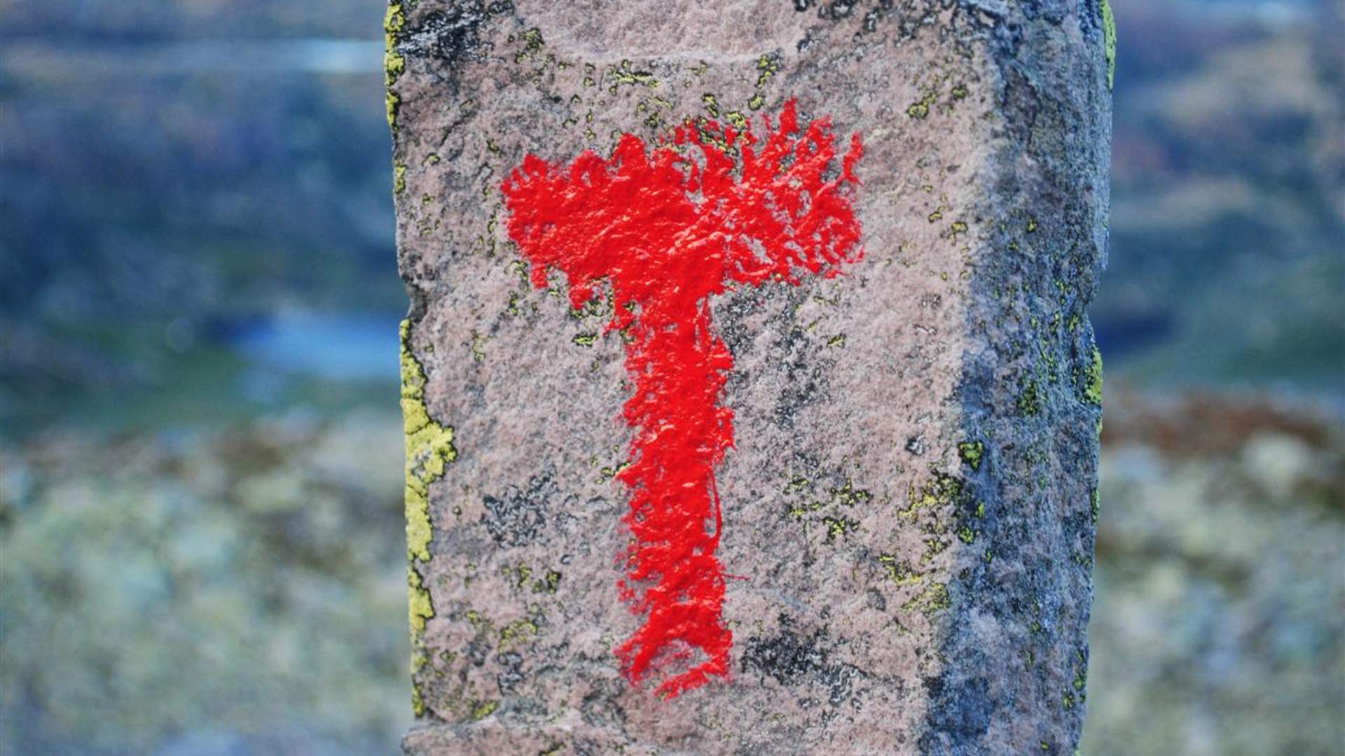
Signs and red marking sticks.
Green
Easy hike.
Difference in altitude5 - 45m AMSL
Estimated Time1 hour round trip
Recommended adviceAt the destination, there are good locations for fishing and swimming. Designated rest area with tables and benches.
OverviewFollow the forest road for 500 meters to the intersection, turn right on the forest road that eventually turns into a quality path to the viewpoint. From there it is a short trip down to the rest area by the sea.
Source: Samarbeidsrådet for Sunnhordland
Hike to Opsangerneset