Hike to Prest, Aurland


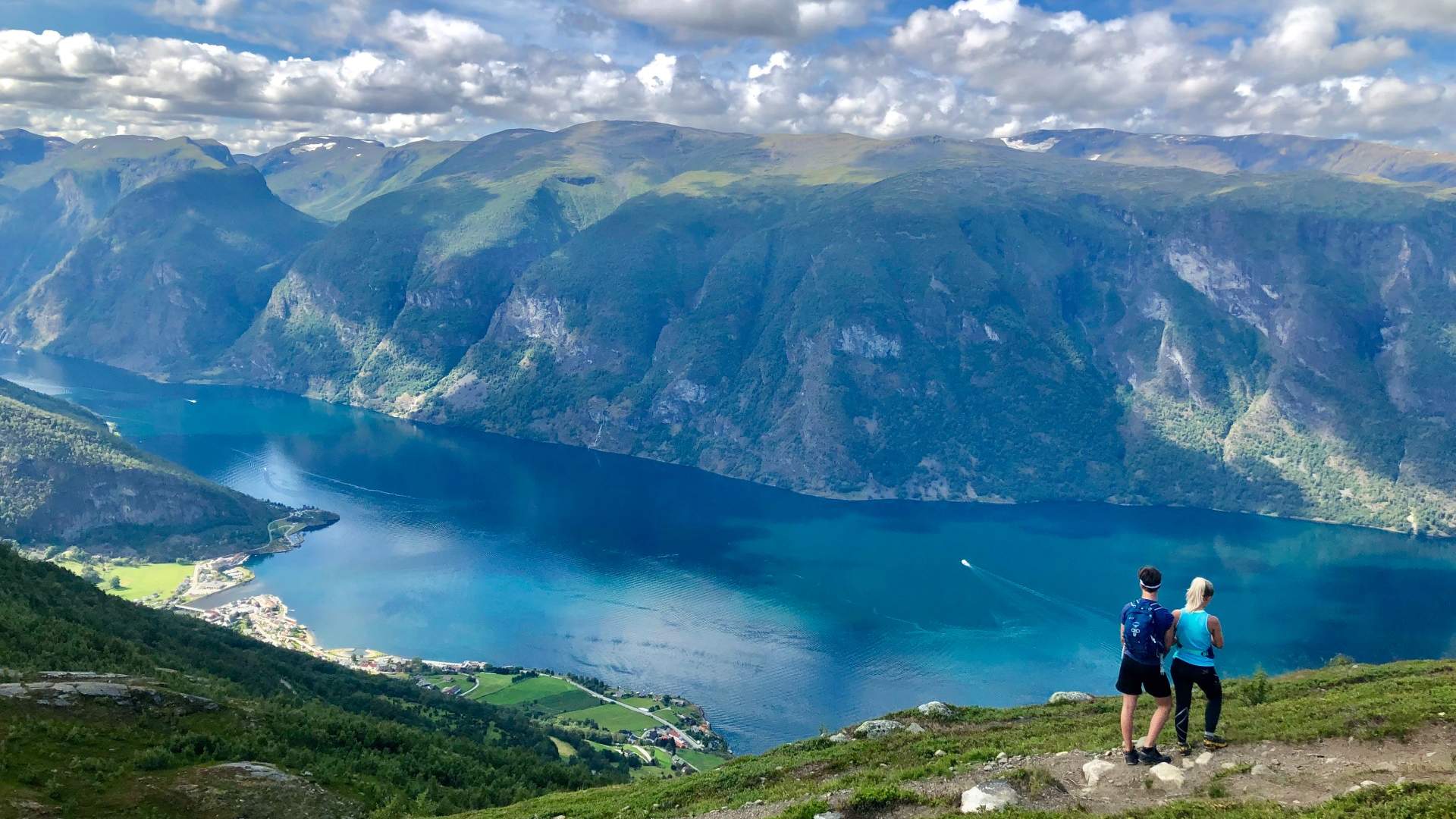
Prest at 1,478 metres above sea level offers panoramic views across the Aurlandsfjord. This is a brilliant hike for all the family.
It's not a very long hike, but parts of the path are steep and there are sheer drops off the sides at times. To get to the starting point, you drive past the Stegastein viewing platform above Aurland. There's a car park just after the Bjørgo farm. There's a good, marked path all the way. The first part, towards Hovden, is gentle but gets steeper further up. There's a sheer drop at Røyrgrindgjelet, where the path runs steeply down towards the farms below Prest.
The best views across the fjord landscape, Aurland and Flåm are from the beacon at 1,363 metres above sea level. The actual peak itself is just over 100 metres further up – in altitude, that is. If a longer trip is more your thing, you can carry on to Blåskavlen (1,809 metres above sea level), which is the highest peak in the municipality of Aurland. The trip to Prest is around 2.5 kilometres long and you should expect to spend just over 3 hours getting there and back.
- Medium
Source: Visit Sognefjord AS
Hike to Prest, Aurland