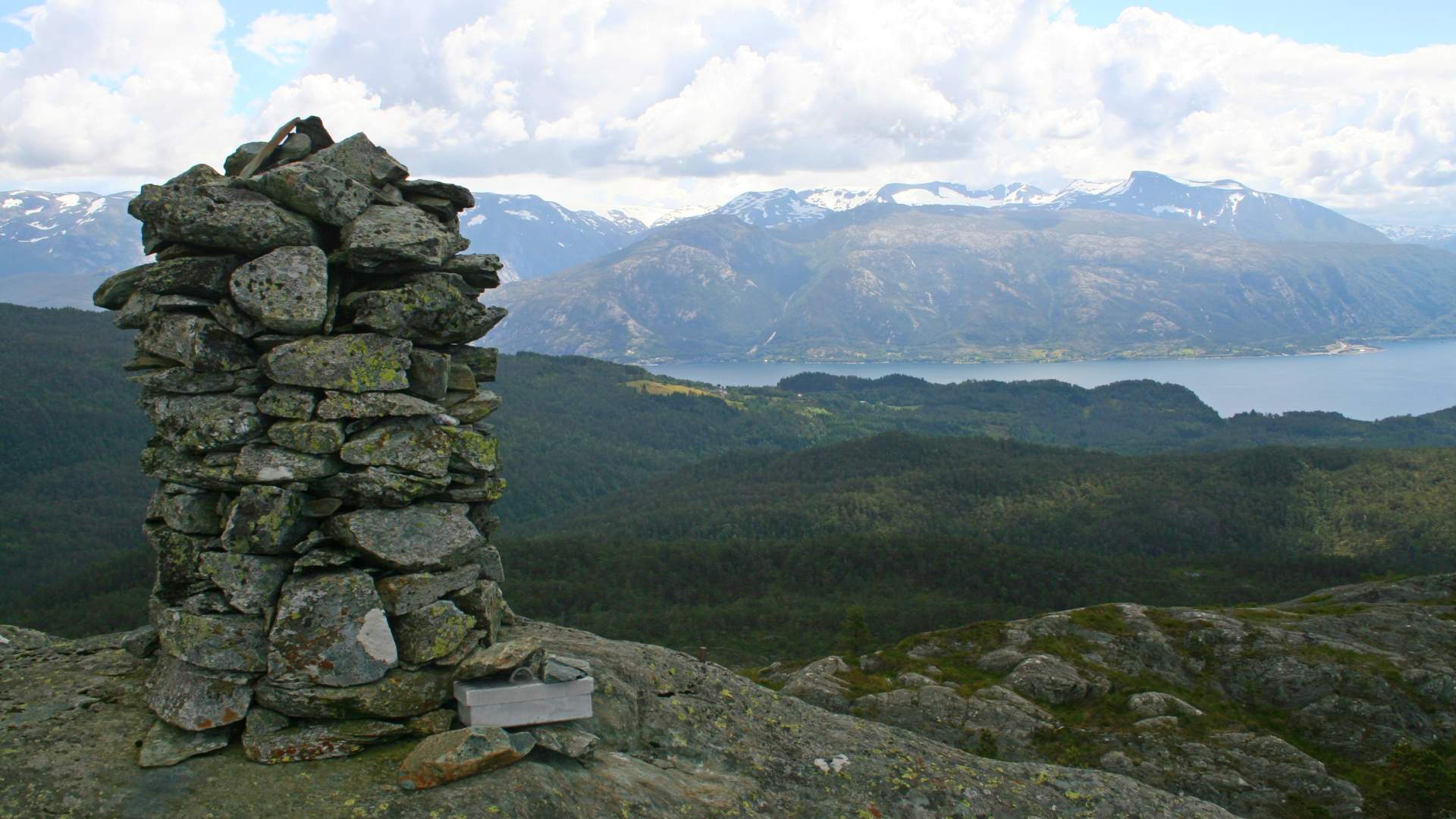
Hike to Sandvikehorga
A great hike for families - follow the path along the river in diverse terrain. From the top you'll have a nice view over Sunnhordland. Rest area at the start of the hike.
Varaldsøy.
MapNorway 1:50 000 sheet 1215 11, Varaldsøy. Folgefonna National Park. Folgefonna – Hardanger fjord
Start and stopping PointRest area by Svartavatnet.
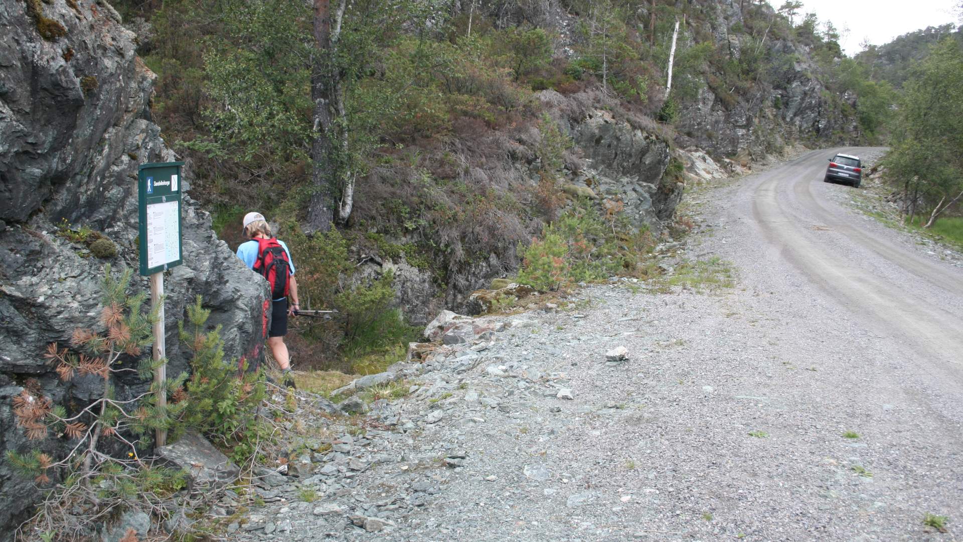
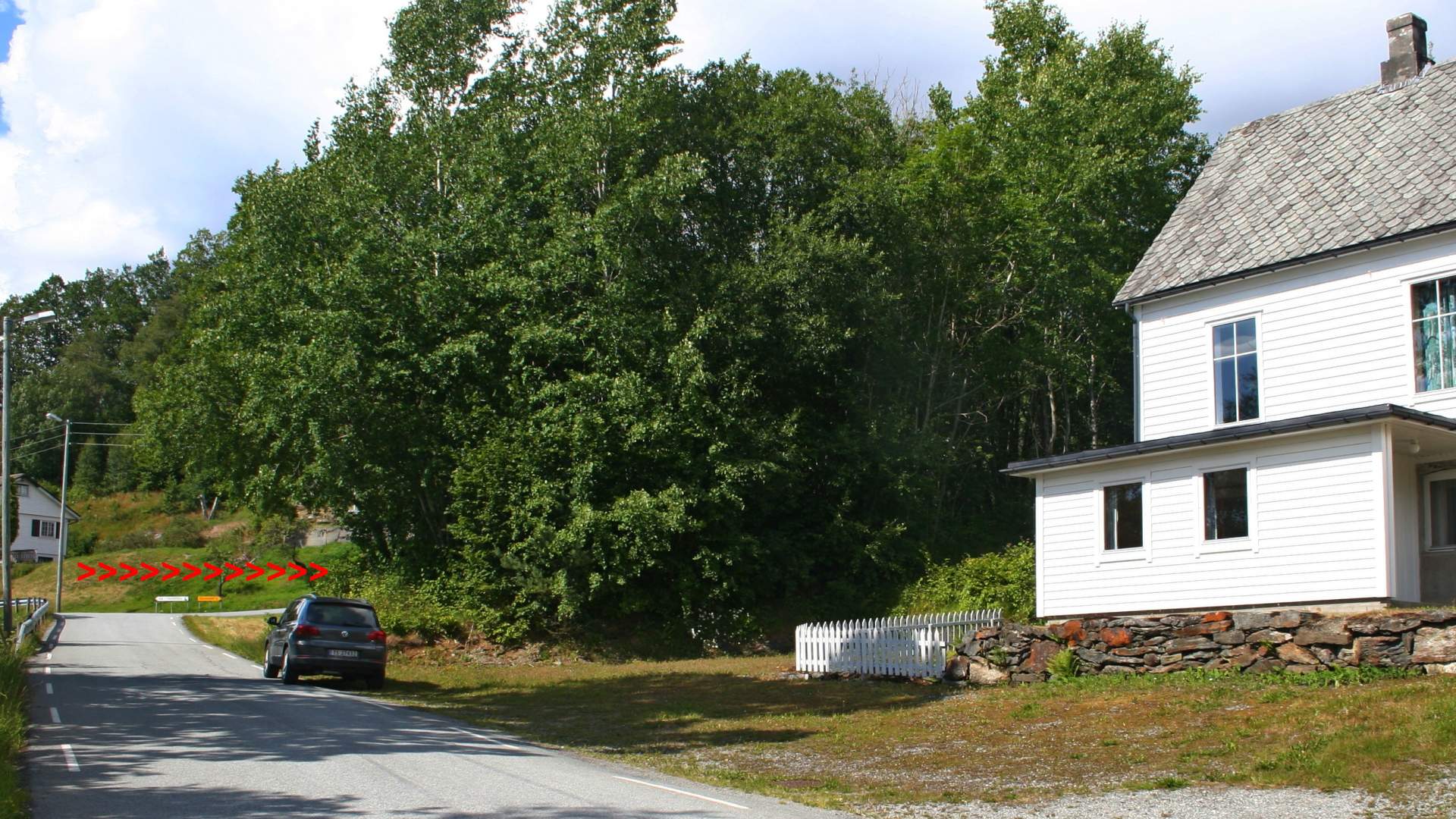
ParkingFrom the ferry dock in Varaldsøy, follow the main road for approx. 1 km. Turn right at the intersection immediately after the chapel (large white building on the right hand side). After approx. 500 meter, turn right at the Øyerhamn sign and drive for 6 km. to the rest area by the Svartavatnet. Park along the road by the rest area.
Signs and MarkingsInformation Board at the starting point. T markings and signs.
GradingBlue. Moderate hike, two boots according to the DNT system.
Difference in altitude290 - 535m AMSL (Above Mean Sea Level).
Estimated time2 hours round trip
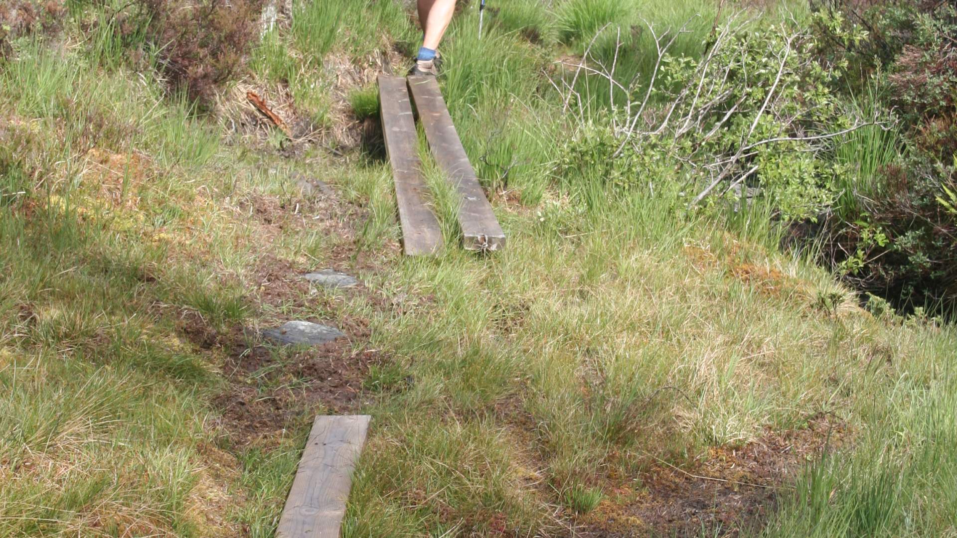
Recommended adviceThe forest path can be marshy, please use appropriate shoes.
OverviewFrom the rest area, on a path going west along a small river. The first part of the hike is on a marsh with bushy terrain and a rugged incline. The last part has some incline on bare rock. This is an excellent family trip, with a nice view over Sunnhordland, and along the fjord you can see all the way to Ålvik.
Source: Samarbeidsrådet for Sunnhordland
Hike to Sandvikehorga