Hike to Tindaslottet
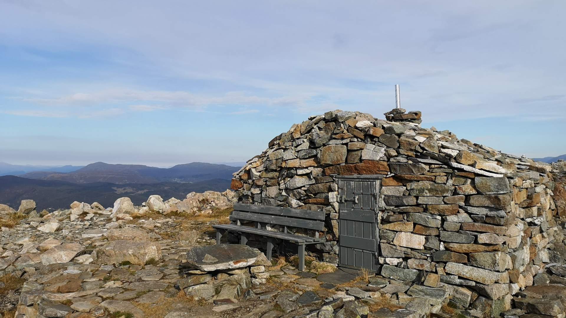
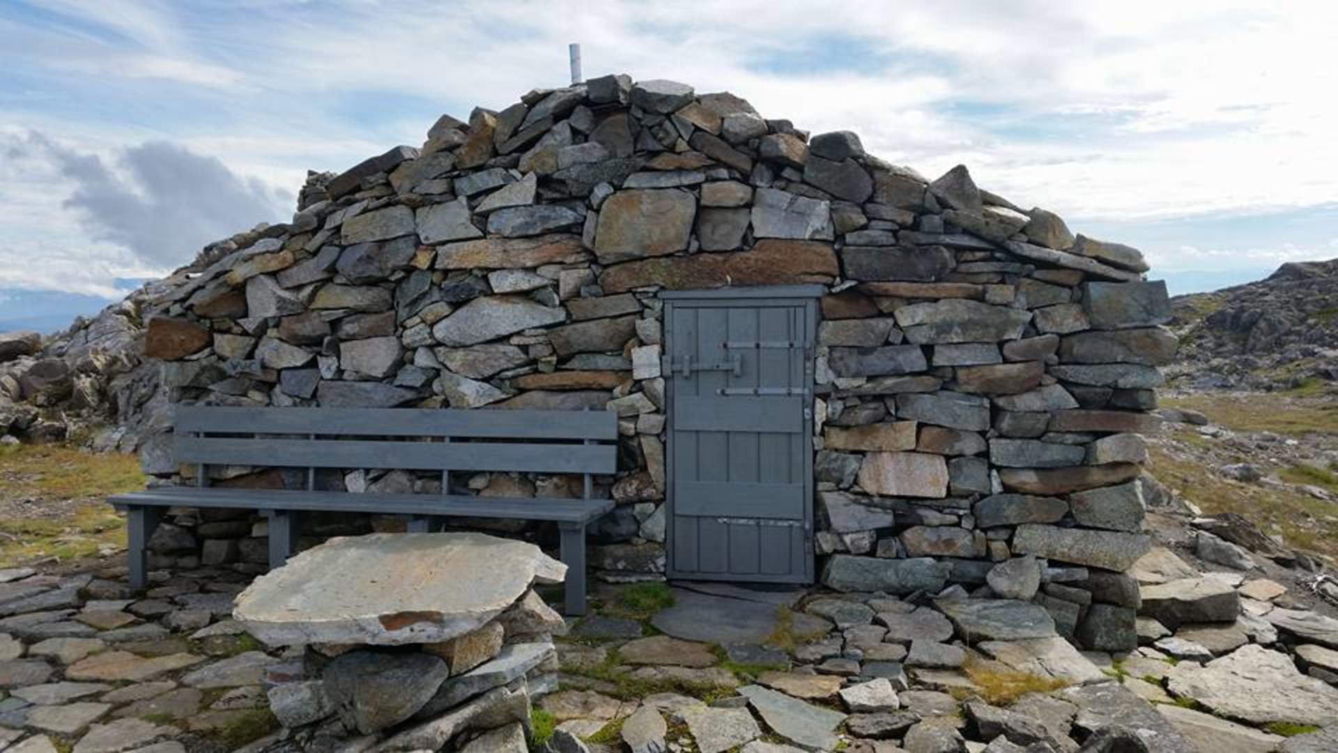
A great hike up to Tindane at Fitjar. At the top there is a small cottage made of stone, "Tindaslottet".
Fitjar
MapStord – Fitjar (1 : 50.000)
Start and stop pointTake off from E 39 at Vistvik.
ParkingVistvik at Fitjar.
MarkingInformation board at the start point. Graded after colour codes, and marked with red T.
GradingRed - Hard.
Altitude30-595 M.S.L
Estimated time3 – 4 h. round trip
OverviewThe hike up from the parking lot starts steeply up a well-constructed and maintained forest road. By the sign for Tindane, you leave the forest road and make a left onto a path. The path is well marked, so it is easy to find the way. On the top of Tindane peaks lies "Tindaslottet", a beautiful stone cabin.
From the top there is a view over big parts of Sunnhordland.
Close by the cabin there is also an "outhouse", from which you can enjoy the view as well. On the hike back down, you walk across Grønafjedlet mountain and onto the path that comes from Heio and goes to Fitjar. You follow this path down to path intersection by Svartavatnet lake. Make a right and down along Kvednavatnet lake. At the end of the lake, you will come upon a forest road that leads back down to Vistvik.
Source: Samarbeidsrådet for Sunnhordland
Hike to Tindaslottet