Hike to Tverrfjell from Uskedalen
Hike from the forest road to above the tree-line!
Uskedalen.
MapFolgefonna National
Start and stopping pointBy the beginning of the forest road, up the hill at Øvre Haugland.
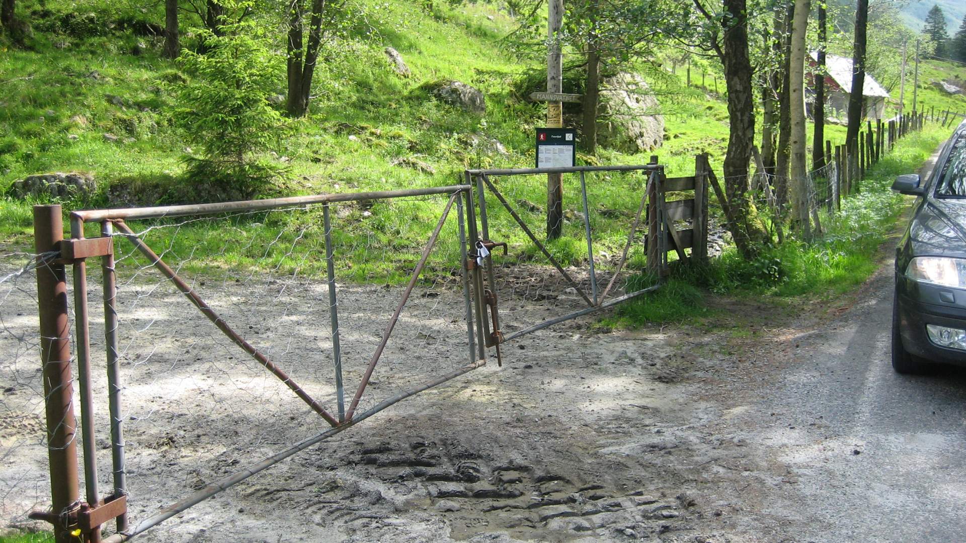
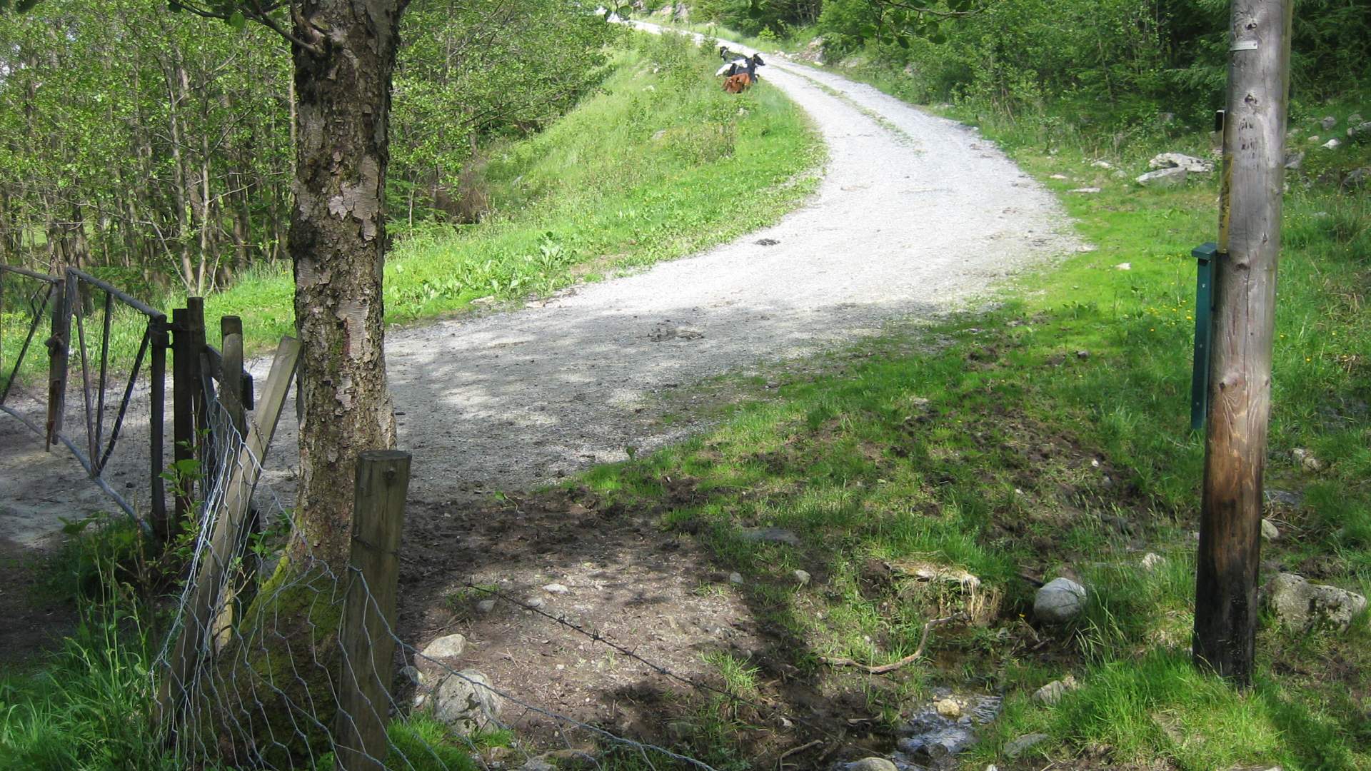
ParkingFrom highway 48, follow the sign and turn towards Musland. There is a parking lot after approx. 4 km, by the gate to the forest road.
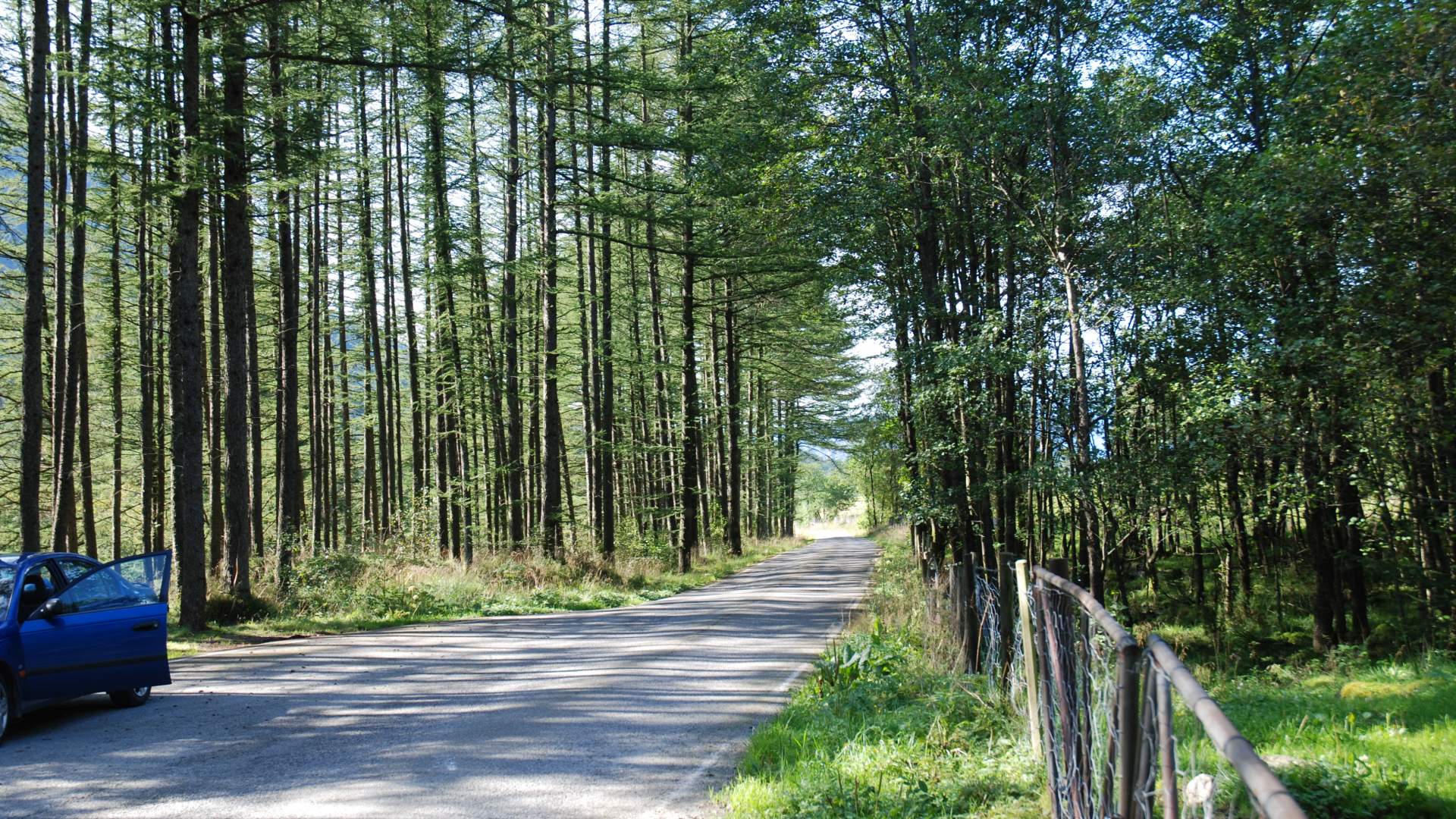
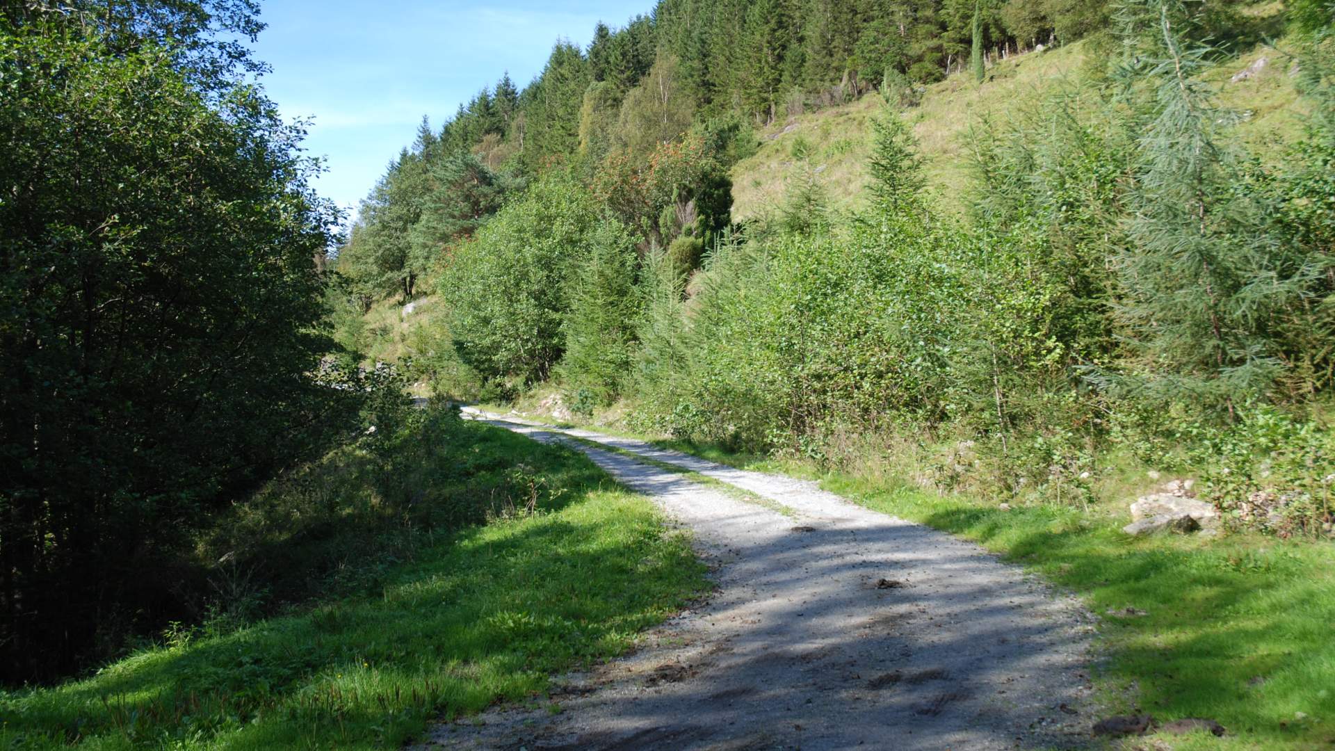
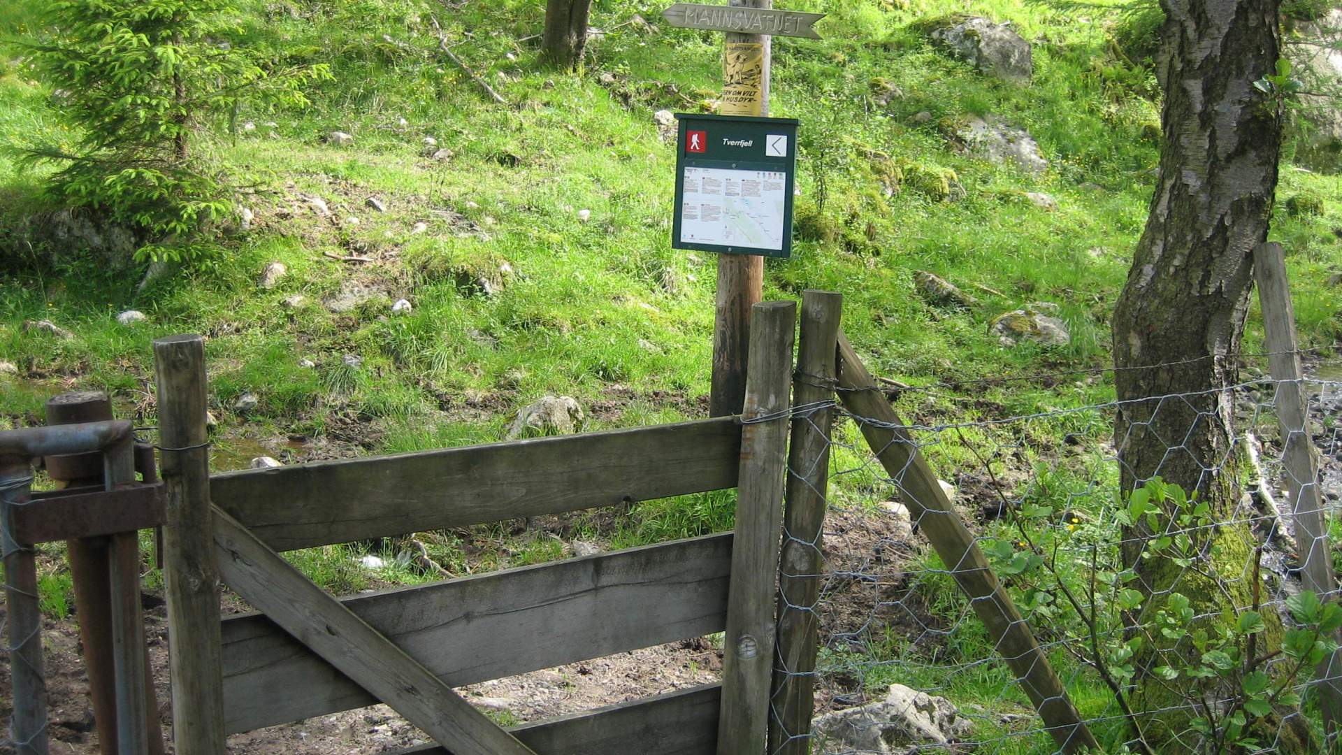
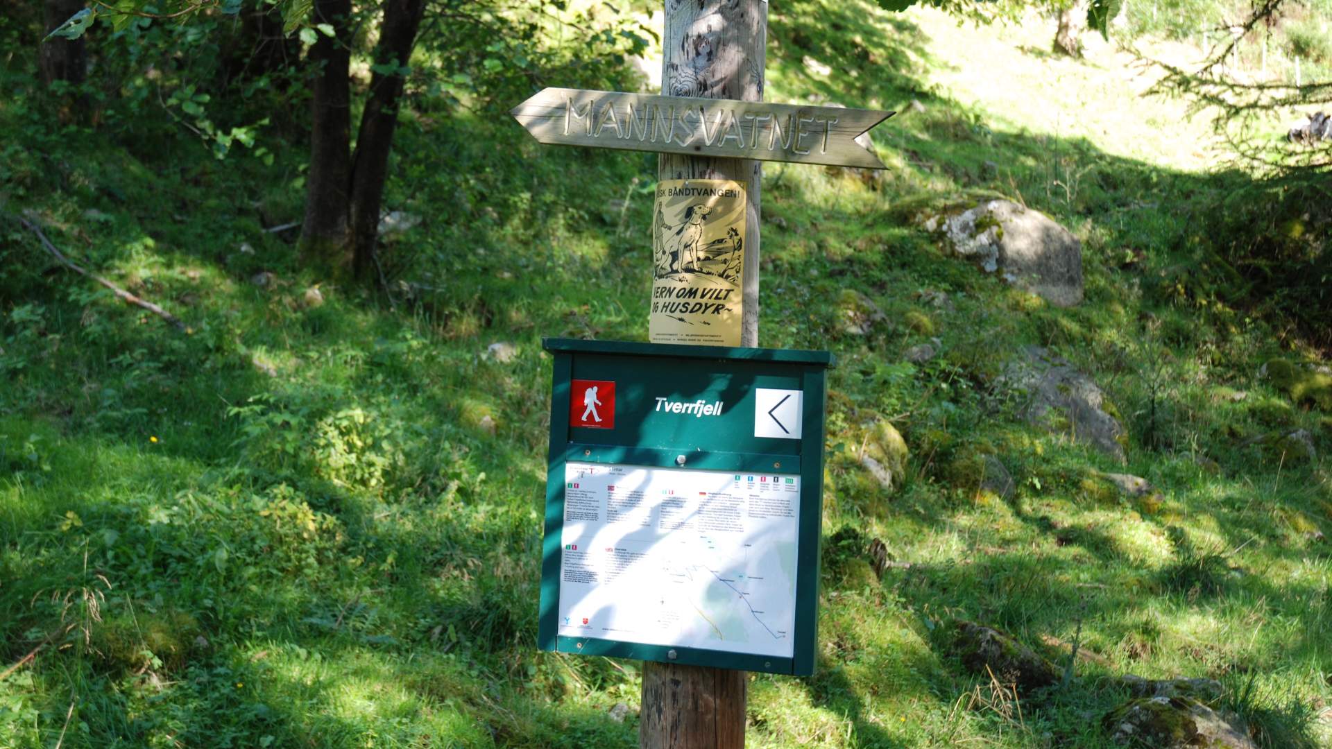
MarkingInformation Board by the parking lot. Necessary signs along the forest road. T Markings from where the path starts at the end of the forest road.
GradingRed Moderate hike, three boots according to the DNT system.
Difference in altitude80 - 932m AMSL
Estimated time5 hours round trip
Recommended adviceFrom Tverrfjell, follow the T marked route to Gråfjell and down into Myklebustdalen, or to Nonshaug and down into Omvikdalen. Be creative and use your imagination to plan interesting hikes.
OverviewGo through the gate and follow the forest road for approx. 1 km to the intersection with the sign pointing to the left of the lake Mannsvatnet (Lake at the mountain Mannen; The Man) and Tverrfjell. Follow the forest road to the end to a sign for the path through the birch forest. Above the tree-line, follow the markings via Hauglandsfjellet to Tverrfjell.
Source: Samarbeidsrådet for Sunnhordland
Hike to Tverrfjell from Uskedalen