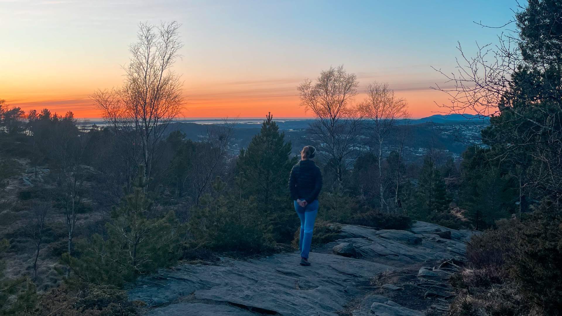
Hike up Lyderhorn - one of Bergen's seven mountains


Lyderhorn, the westernmost among Bergen's seven mountains, stands at a height of 396 meters, offering beautiful views of both the city fjord and the open sea.
There are many hiking trails up Lyderhorn. The route we suggest here is the most popular and starts in Gravdal near Gravdalsbakken.
Kvarven fortress
If you choose to start the hike in Gravdal, you will pass Kvarven Fort, one of Bergen's former fortifications. The fort was completed in 1899 and closed in 1961. Today, Kvarven Fort is an open-air area with war memorials and good viewpoints. A cannon still stands at one of the gun emplacements, and down by the sea are the remains of the old torpedo battery. Despite many bunkers being sealed off for security reasons, it remains a pleasant area to stroll through.
Public transport
To get to Gravdal, you can take bus 6 to Lyderhornsveien. Alternatively, you can change to bus 44, that goes to Gravdal bus stop, which is a even closer. Check skyss.no for current schedules.
Parking
You can park at the parking lot in Gravdalsbakken near the barrier or along the road.
Starting point
From Lyderhonsveien, cross the road and follow Gravdalsveien. Continue on the same road past the commander's residence in Gravdal. From here, continue to Gravdalsbakken on the asphalt road that winds its way up towards the forest. There is an information board at the beginning of the hike. It takes about 20 minutes to walk from the bus stop at Lyderhonsveien to Gravdalsbakken where the hike starts.
Hiking up Lyderhorn
From the information board, continue on the asphalt road into the forest, passing several former military installations. At the end of the road, turn right and you'll come to a staircase leading down to the Skålevik lakes. Note: swimming is not allowed here as the lake is a drinking water source. The trail runs south along the west side of the lake. The terrain is easy until it steepens near the top.
At the summit, you'll have great views in all directions, towards the other six city mountains, the city fjord, and towards the open sea.
For the descent, you can choose to follow the same route (recommended if you have a car) or one of the other signposted trails. If you came by bus, you could choose to take the trail down to Banuren, which heads northeast towards Banurveien. From there, it's about a 15-minute walk to the Lyngbø bus stop, where several buses return to the city center.
Time
The hike from Gravdal to the top of Lyderhorn is about 3.6 kilometers and takes around 1.5 hours to complete. Round trip, you should allow for 3 hours (excluding breaks) and approximately 7.3 kilometers. The hike is accessible year-round, but the most enjoyable experience is typically from April to October, as frost during winter months can make the path slippery and you will need to wear spikes. The hike to Lyderhorn is suitable for all ages and is a great excursion.
Accessibility
The trail leading to the Kvarven outdoor area is universally designed for accessibility. While the entire road to Kvarven is paved, please take into account that some sections feature steep inclines. Additionally, one of the bunkers along the trail is disability-friendly.
- Autumn
- Spring
- Summer
- Short hikes (1-4 hours)
Source: Visit Bergen
Hike up Lyderhorn - one of Bergen's seven mountains