Hiking to Vardasen


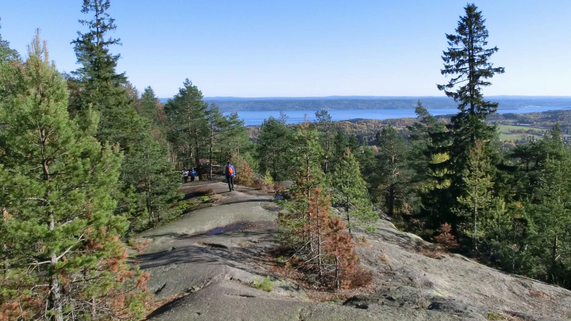
From Vardåsen you have spectacular view in all directions with the entire Oslo Fjord in the center. The name comes from Varde - as the place was one of the many peaks that were a Varde was set up in Viking times. They were set on fire when attacks were underway so everyone could see it. All the peasants had to take their turn to keep watch in wartime.
From Vardåsen you have spectacular view in all directions with the entire Oslo Fjord in the center. The name comes from Varde - as the place was one of the many peaks that were a Varde was set up in Viking times. They were set on fire when attacks were underway so everyone could see it. All the peasants had to take their turn to keep watch in wartime.
The path from Gullhella is signed with blue path marks. It enters the western part of the hill, named Haugeråsen after the farm below.
At the top of Vardåsen there is some forest. From the top, follow a clear path northeast (currently unmarked) to Jutemyr. From there, follow the red-marked ski trail to the starting point. Other possibilities are walking through the residential areas to a bus stop or to Bondivann st.
Tip: You can explore Vardåsen more by following the paths paths at Vardetjern and Pilgrim Trail on the hillside in the west.
Practical information.
Access by train or car to Gullhella station
By car / bike: Parking space at the end of Gullhellaveien and at Trettesty 36
Easy walk of about 4.9 km. It takes about 1h 15 min each way to walk.
MOUNTAIN CLIMBING IN THE VARDÅSEN:
The ridge has large rocky mountains to the west where mountain climbers romp. It is nice to soak up the spring sun with warm granite in the back and wide views.
The wall consists of three large slopes with a height of between 100-150 meters. The climb takes place on traditional moldings and scratches with good friction. The stone quality is very compact and is very suitable for wedge climbing. The Vardåsen climbing field is widely used for course activity, as the cliff is idyllically located in the afternoon sun and the difficulty of the routes has the main weight in the 4-5's.
Source: Visit Greater Oslo
Hiking to Vardasen