National Tourist Route Aurlandsfjellet


The mountainroad between Aurland and Lærdal is normally open from the 1st of June to approx. 15th of October. From Aurland to the viewpoint- Stegastein (7,5 km), the road is open all year. The crossing Aurland - Lærdal- Aurlandsfjellet is 48 km and the highest point 1306 m a.s.l. You will come away with powerful impressions, and the contrasts between the fjord and the high mountain region where snow lies on the ground for most of the year are compelling. The roas is also called "the snowroad", since you can see snow along the road most of the summer. Recommended Bus lenght 12,4 meter. VIEWPOINT PLATFORM at Stegastein - here you will find parking and toilet
The mountainroad between Aurland and Lærdal is normally open from the 1st of June to approx. 15th of October. From Aurland to the viewpoint- Stegastein (7,5 km), the road is open all year. The crossing Aurland - Lærdal- Aurlandsfjellet is 48 km and the highest point 1306 m a.s.l.
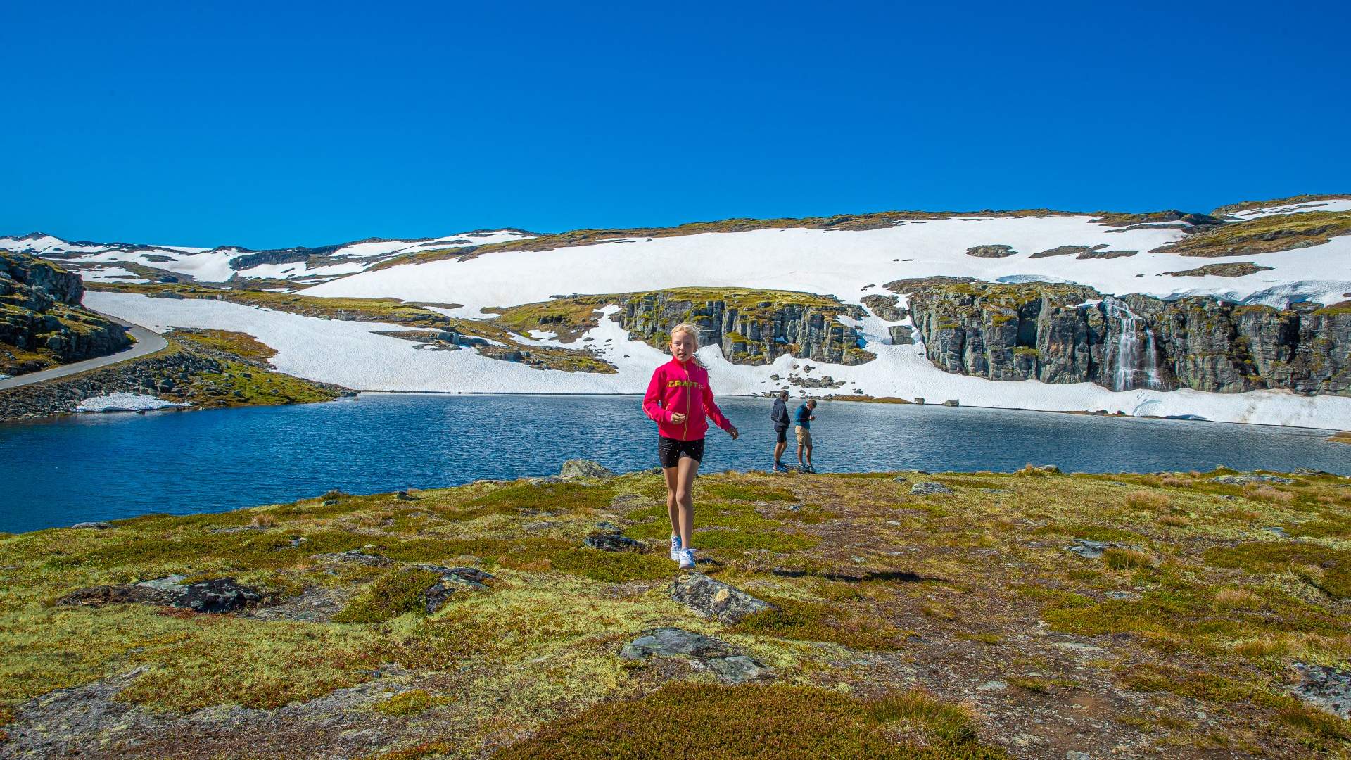
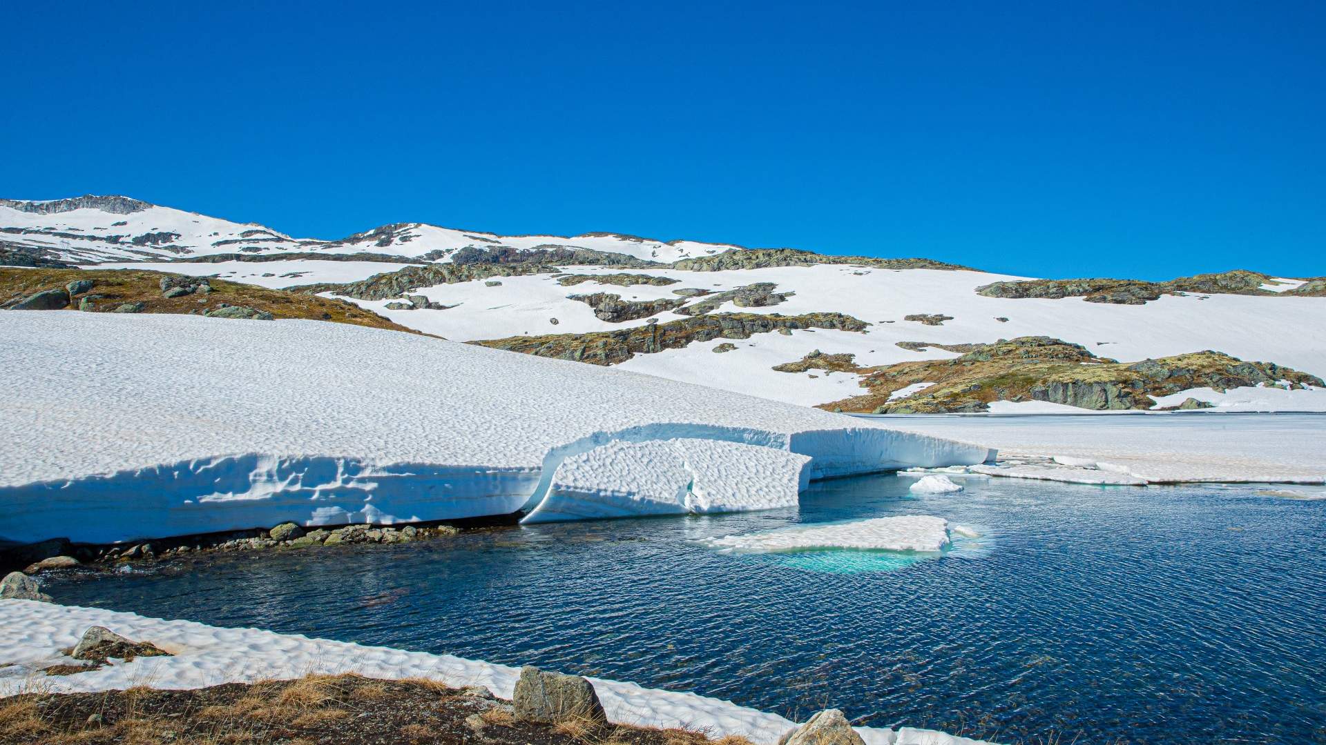
You will come away with powerful impressions, and the contrasts between the fjord and the high mountain region where snow lies on the ground for most of the year are compelling. The roas is also called "the snowroad", since you can see snow along the road most of the summer.
Recommended Bus lenght 12,4 meter.
VIEWPOINT PLATFORM
at Stegastein - here you will find parking and toilet. Also parking 3 km direction Lærdal to marked hiking trails with fjordview and mountain peak Prest - 1363 m.a.s.l.
The road was opened in 1967 and its forerunner was a construction access road. The road runs from Lærdalsøyri to Aurlandsvangen over the mountains and the highest point is 1,306 metres above sea level. The road is closed in the winter and snow lies on the mountain throughout large parts of the summer, so the name "the snow road" is truly befitting.
Source: Visit Sognefjord AS
National Tourist Route Aurlandsfjellet