Osnes rundt - Etne
Nice walk in Etne.
Etne
Map1:50 000 Etne.
Start and stop pointStarts next to Sæbøtunet museum.
ParkingTa av frå E39 vest for Leirvik sentrum på veg skilta til Litlabø. Etter ca. 4.5km ta til høgre og skilting til Gruvemuseet.
MarkingInformation board at the start point. Graded after colour codes, and marked with red T.
GradingGreen, easy
Altitude9 - 43 m.o.h
Time used5,4 km - 1t
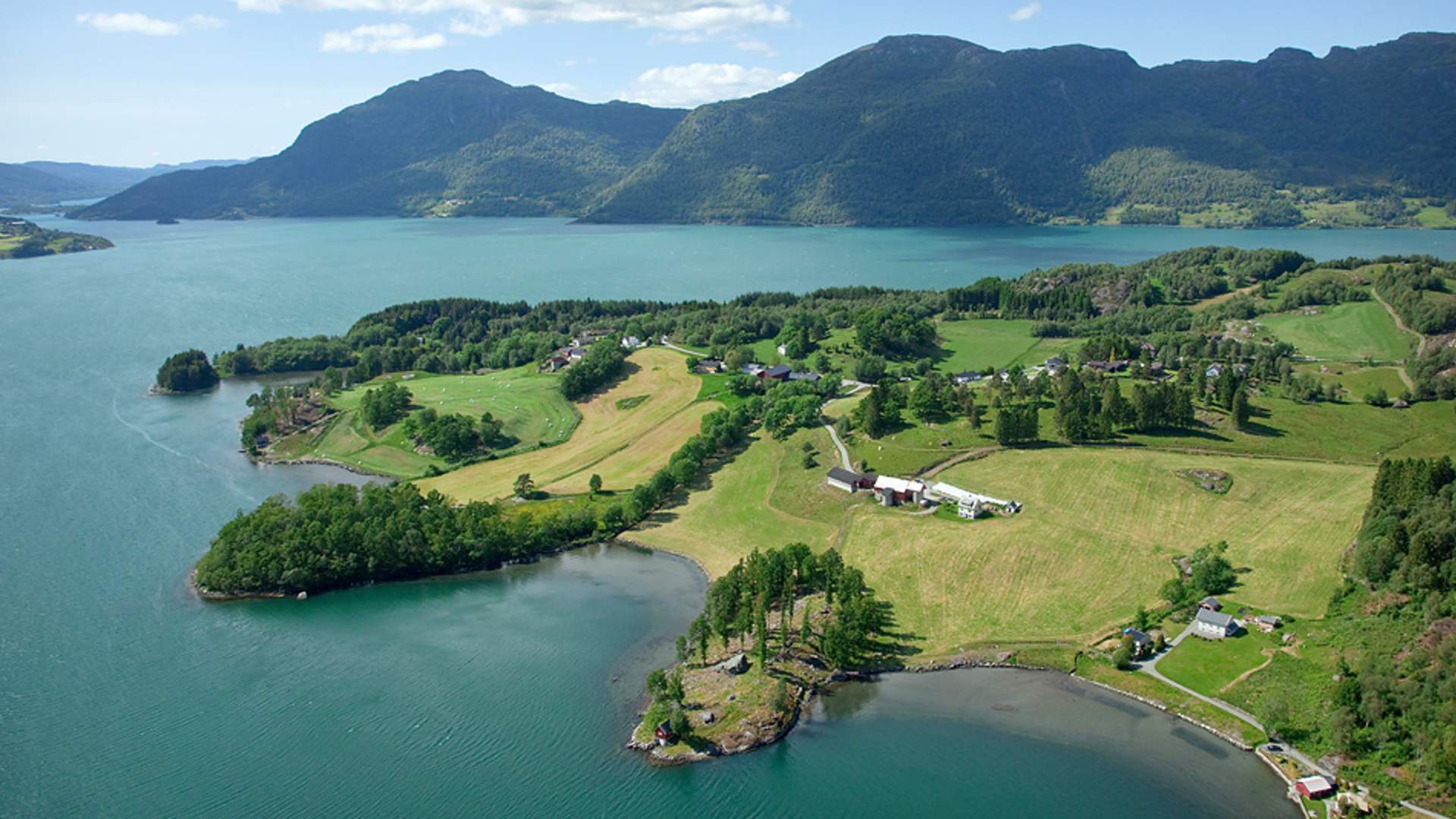
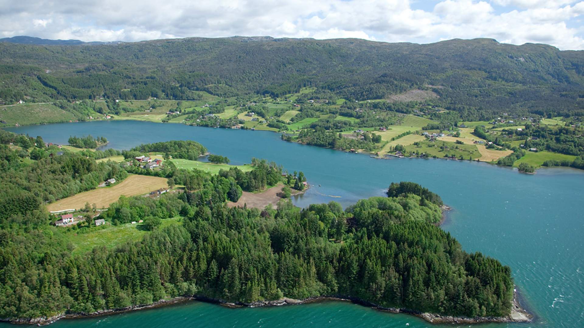
Tour descriptionThe hike starts at Sæbøtunet folk museum. After 60 m turn right in to rhe Osnes road. 500 m further on is Bekkjavika, a small bay good for bird life, especially at low tide. At Røynesnes the Etne fjord opens up. about 800 m up the road you come to the beach in Honsovikjo, here is also a toilet. This area is part of the property of Olav Vik Foundation. Possible detour up the trail towards the hill-fort Borgaråsen (the last part is very steep). Halfway up lies teh boulder Gåstein.
The main part of the recreation area of the Olav Vik foundation is located about 1 km further up the Osnes road. You can take a detour through the forest from Beinstøvik, on a trail closer to the fjord. At the parking lot there is toilet and information board. Back at the Osnes road you soon pass the farms at Osnes, overlooking beautiful landscape around the bay of Osvågen. After passing a small housin area you soon see the main rtoad E134 i the otherside of the valley. Turn left in the crossing close to the E 134. The last part of the trip goes north against Etne on a path/bicycle road along the main road.
Source: Samarbeidsrådet for Sunnhordland
Osnes rundt - Etne