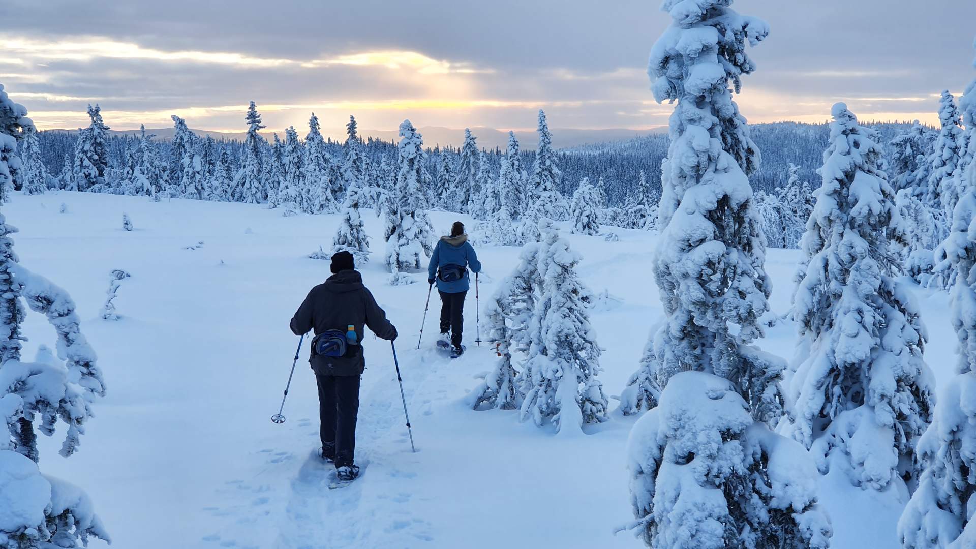
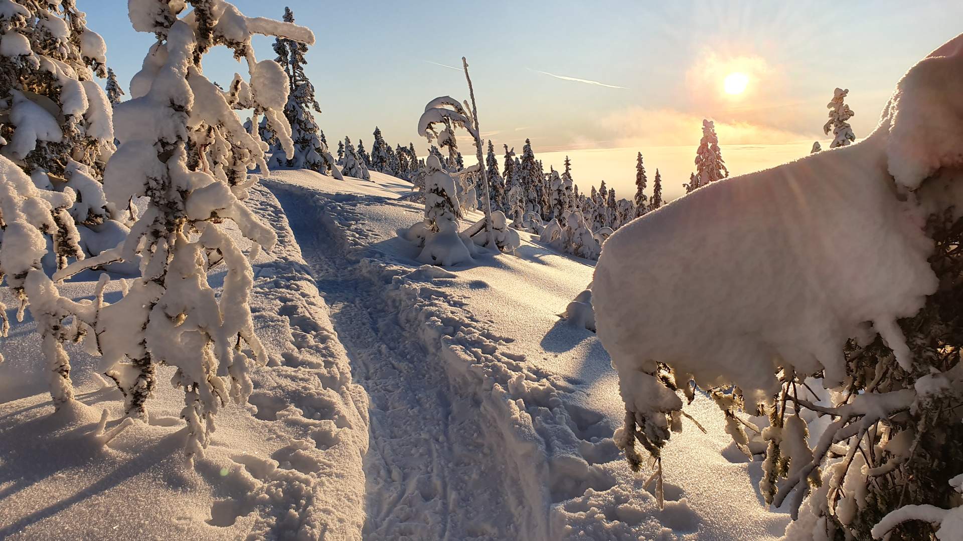
Snowshoe walks from Oksbakken, Totenåsen


Totenåsen – three snowshoe walks from Oksbakken
About Totenåsen
Totenåsen in Østre Toten is a spectacular skiing and snowshoeing area, and offers 160 km of groomed cross-country ski trails. The snow arrives earlier at Totenåsen than down by Mjøsa. From Oksbakken, the highest part of Totenåsen, there are also 3 snowshoe walks way-marked orange. The car park at Oksbakken is free of charge, but there is a toll-road fee of NOK 60 which is payable by card.
How to reach Oksbakken
Oksbakken is located uppermost in Øverskreien at the very end of Nygardsæterlinna, 2848 Skreia.
• Use Google Maps for route description based on your location
3 snowshoe walks way-marked orange from Oksbakken
Trip no. 1:
Oksbakken – Fodstadvollkampen – Oksbakken. This is an easy round-trip, suitable for all. The trail is approx. 2.5 km long. When you reach the top of Fodstadvollkampen, there are spectacular views towards Mjøsa, Hedemarken, and the Toten area.
Trip no. 2:
Oksbakken – Tjuvåskampen – Oksbakken. This trip is approx. 5.2 km long, and you follow the same trail there and back. The final uphill section is somewhat steep and can be a bit challenging, particularly when there is not much snow, but we have a “small detour” that we can use if necessary. When you reach Tjuvåskampen, you are at 812 m above sea level and can enjoy stunning views of Einafjorden and Lygna and further west towards the mountains. On a clear day, you can actually see Gaustadtoppen. This is the most popular route.
Trip no. 3:
Oksbakken – Hongsetra – Holokampen Rausteinshytta (return the same way).
This is the longest trip, approx. 10 km return. Steep up from Hongsetra to Holokampen at 814 m a.s.l. When you reach Holokampen, the route continues across the flat marshes in to Rausteinshytta which is at 820 m above sea level.
Show consideration during your visit, and follow these basic guidelines:
• Adhere to the code of conduct for public right of access
• Park at designated car parks and campsites
• Take your litter home or use the bins provided
• Remember the rules for keeping dogs on a lead; respect campfire bans and restrictions, and use designated sites only
• Try to use local shops along the route
• Drive nicely, but not too nicely – keep up with the traffic
• Last, but not least; ENJOY your trip!
Totenåsen - Rausteinshytta ski lodge at Totenåsen
Rausteinshytta - ski lodge at Totenåsen - 820 m a.s.l.
The new Rausteinshytta, which has replaced the old cabin that burned down in 2016, opened Sunday 16 June 2019.
Rausteinshytta is located at Totenåsen, 820 m above sea level, and is one of the most popular destinations for skiers at Toten. The cross-country ski trails are prepared by AS Totenåssenløyper, and are groomed to perfection throughout the winter season.
Café opening hours during winter: Saturday – Sunday, 11–15.
During the winter holidays the lodge is open daily, 11–15.
Check Rausteinshytta’s own website for up-to-date info
Rausteinshytta’s Facebook page
Rausteinshytta’s website
The ski lodge is owned and operated by OL Toten-Troll, and is usually open during the winter season.
How to reach Rausteinshytta on skis: From Oksbakken, 2848 Skreia.
(Search Google Maps)
From the car park at Oksbakken, 696 m above sea level, there are three trails leading to Rausteinshytta.
The shortest is 4.3 km and the longest is 6.8 km – across beautiful Tjuvåsen.
Through Hemingsdalen (scooter track for 2 km), the distance is 5.9 km.If you opt for the shortest trail, head north-east along Hongsætervegen for some 500 m until you reach a trail junction with signs and map.
For the trail across Tjuvåsen, turn right.
To follow the shortest route, continue straight ahead and uphill for some 1 km. You will then reach the northern end of Hemningsmyra, approx. 700 m above sea level, and a new trail junction. Keep left. The trail straight ahead is the scooter track through Hemningsdalen. From here, there is a steep climb for approx. 300 metres. After as sharp bend, the trail flattens out.
The first uphill section is then behind you, and you can enjoy a gentler stretch after the climb up from Hemningsdalen.
However, the break is short and there is soon a new hill to be tackled. This is followed by a small marsh and a gentle climb to the next trail junction with signs and map. From this point, the distance to Rausteinshytta is 1.7 km – of which 1 km is uphill.
The final 7-800 m are across marshland and through flat and open terrain.
If you keep right at the trail junction, past the tarns and along the western side of Pålknappen, the climb is significantly easier. This is a longer route, but only by some 200 metres. (Perhaps a better option with young children.)
Show consideration during your visit, and follow these basic guidelines:
• Adhere to the code of conduct for public right of access
• Park at designated car parks and campsites
• Take your litter home or use the bins provided
• Remember the rules for keeping dogs on a lead; respect campfire bans and restrictions, and use designated sites only
• Try to use local shops along the route
• Drive nicely, but not too nicely – keep up with the traffic
• Last, but not least; ENJOY your trip!
Source: Visit Øst-Norge
Snowshoe walks from Oksbakken, Totenåsen