The coastal trip in Sveio (49 km)


49 kilometres and detours if you like, or possible short cuts - starting in Sveio village.
49 kilometres + detours if you like, or possible short cuts
1st leg: Sveio village - Haukås - Rød (asphalted cycle-track)
2nd leg: Rød - Auklandshamn (local road with tarmac)
3rd leg: Auklandshamn - Bua - Mølstre (local roads, tarmac)
4th leg: Mølstre - Sveio village (gravel road)
Where the road from the Golf-park meets the road to the village, turn left and ride on the pedestrian-/cycle-track, signposted "Bergen",
i.e. northwards alongside the main road Route 47. On the left of the track at Bjelland is a nature reserve with many species of birds in the marshes and lake, and there is a walking-path to an observation tower.
When the cycle-track stops, you have to cross the road; the cycle-track resumes on the right-hand side. It continues through an underpass at the intersection with the highway E39, and you ride on, past a service-station on the east side, Haukås, until you get to Rød.
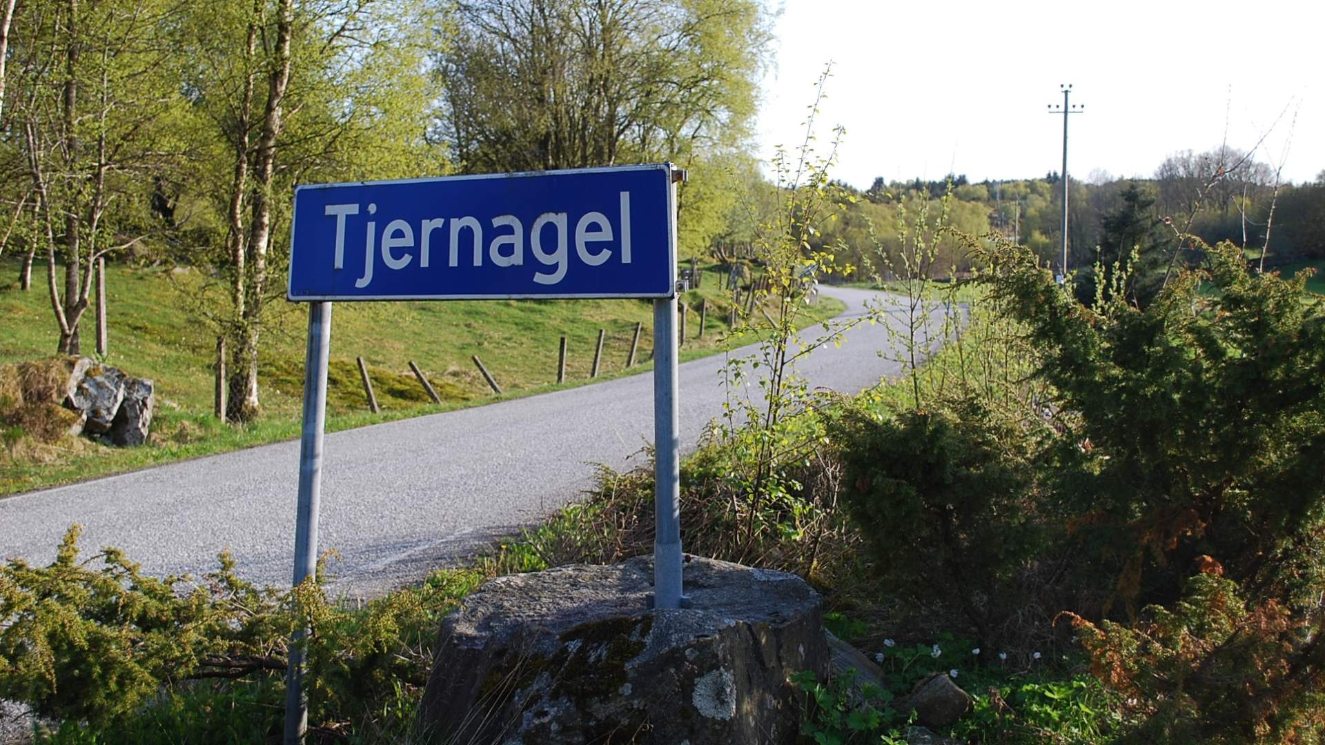
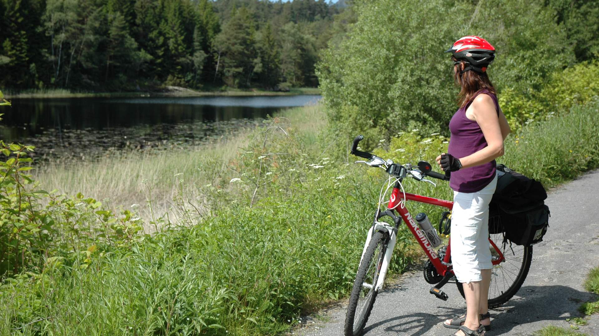
At the sign to "Auklandshamn", turn left, leaving the cycle-track. This road is narrow and winding, with local traffic. On the right-hand side is Langevatnet with places for swimming and for fishing if you buy a fishing-permit. At Eikeland there is a coastal museum, open by appointment with the local historical society. You come to a road junction with a sign to "Tjernagel".You can make a detour here by taking the road to the right, then walk to the recreation area Slettene, where you can swim or picnic, and there's a public toilet. Otherwise go to the left at that junction. There is a store at Auklandshamn, and nearby is a trail for hiking to the the peak Emberlandsnipen where there's a panoramic view of the fjord and islands.
You ride south along the coast with its inlets, towards Tjernagel. There there is a riding school, and a little further on down a hill to the right an old harbour and fishing-port. In this area many historical artefacts have been found, and in Snorre's sagas of the viking ages there is reference to a hilltop or mound here (dismantled though in the 1980s). The road goes to Bua. On the left is Storevatnet where you can swim. Just past a kindergarten (previously school) on the left, you come to a crossroads. (Straight ahead is the shortest way back to Sveio village, a hilly road with traffic to and from the ferry.) The road to the right from the crossroads, with a sign to "Bømlo", brings you to Buavåg where a car-ferry goes from. There is a public toilet in the waiting-room.
From here the road southwards, Route 541, is part of the North Sea Cycle Route, in the direction of Haugesund. Just south of Buavåg you can swim in the sea at Grunnavåg, 5 minutes' walk from the road. On a notice-board you can read about the burial mounds Kvitaneset, and about former gold-mining and a trail you can walk. Further on at Hovda there is a place to stop with a view over Bømlafjord running out into the North Sea passage Sletto. Just after a "dangerous intersection" roadsign, you find another short cut back to Sveio village, left via Markavegen to Nordskog where you rejoin the road from the ferry (with traffic). Continuing southwards though you pass Eltravåg and come to Lyngholmsvegen. Here is another possible detour, to the right out to the monument in memory of the shipwreck "D S Thor" in 1906. Route 541 goes past Vandaskog and on the left is the gravel road Paddevegen, with a small red house from 1800. This is the way back, but another possible detour is to ride 1/2 km further on to Mølstre crossroads, and turn right at the sign
"Ryvarden Kulturfyr", a lighthouse well worth visiting. About 7 kilometres there and back (4 km gravel).
From Mølstre crossroads it also possible to make the round trip longer by continuing south on R541 to the intersection Vågedalen,
where you turn left and ride to the main road Route 47. Cross over, use the cycle-track a short way, turn right and ride on the local road via Tveit, then you come to a cycle-track again, past a housing area and under the main road, then to the right back to the Sveio shops.
Otherwise, from Mølstre crossroads you turn left and ride 1/2 km back to Paddevegen. There is little traffic on this gravel road but beware, because of the forest and the hills, you don't always see or hear it until the last minute. When you get to the asphalt, turn right and shortly left on to the cycle-track back to the shops and on to the Golf-park.
Source: Samarbeidsrådet for Sunnhordland
The coastal trip in Sveio (49 km)