The Hallingdal track


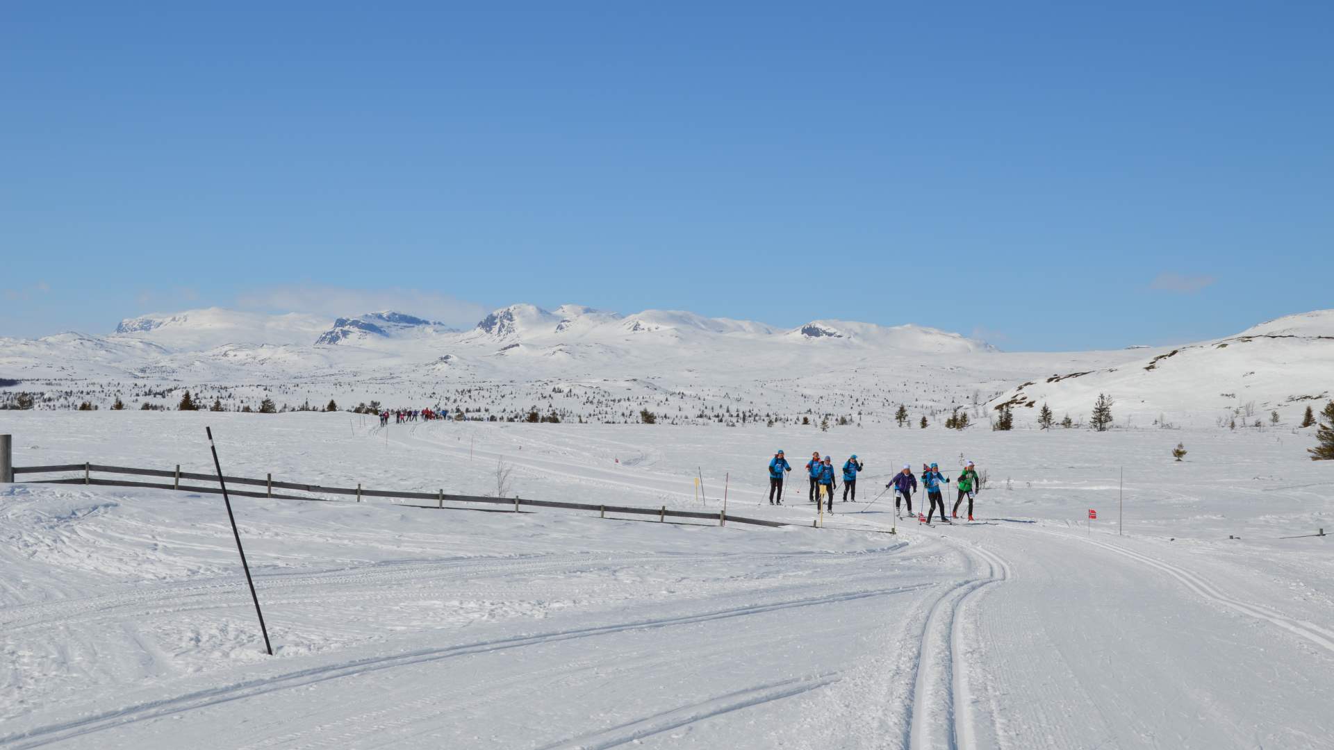
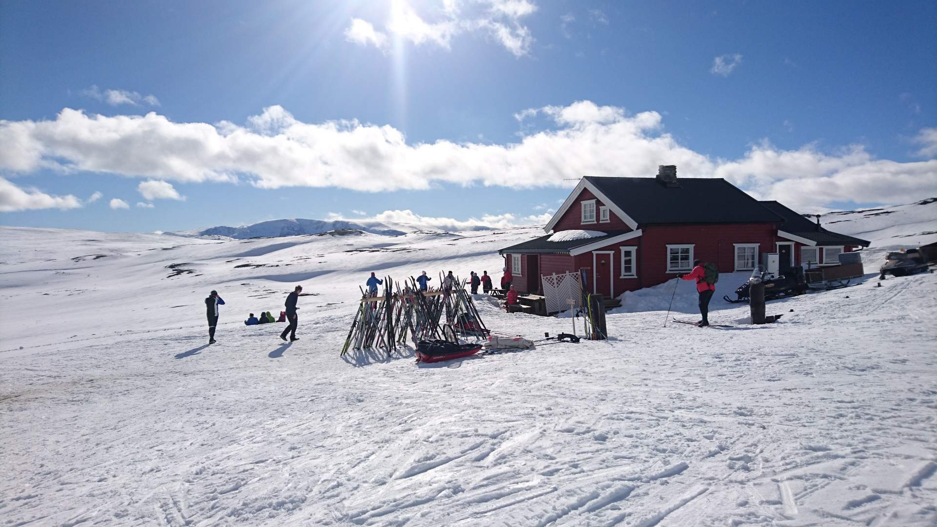
Spend a week skiing across the Hallingdal mountains, or take a day trip - the choice is yours! The Hallingdal route, formerly known as the Adventure route, goes past all the popular cross-country ski areas in Hallingdal. If you are planning a trip over several days, there are many accommodation options.
The Hallingdal route follows both the north- and south side of the valley.
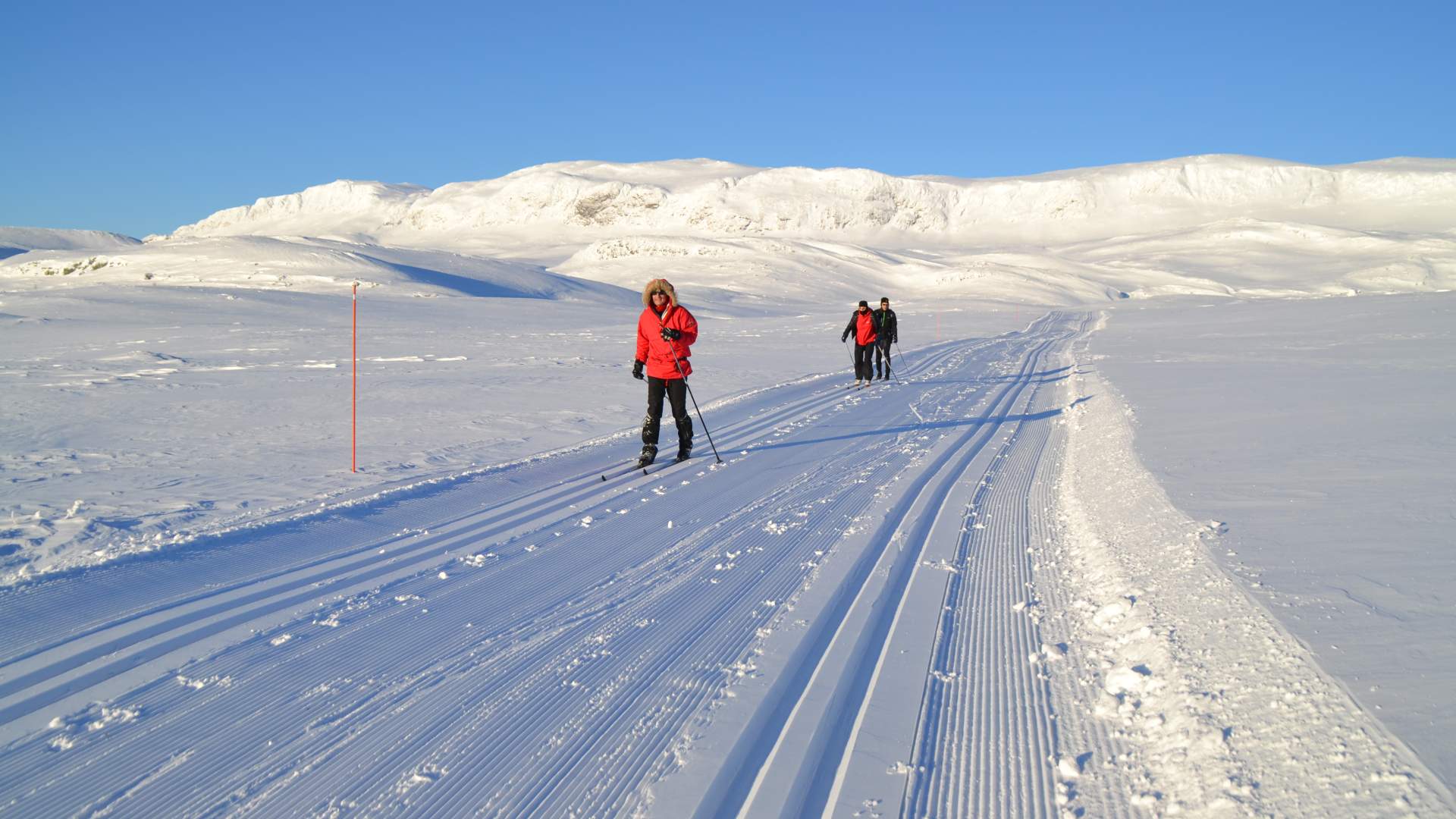
Most parts of the trails on the Hallingdal Route are being groomed every weekend, during winter holidays and Easter from week 8 until after Easter. The amount of snow, weather and wind will always be essential for the trail preparation.
The southern Hallingdal route
Adventurous skiing between Ustaoset and Norefjell
The Hallingdal route follows the northern and southern boundaries of the Hallingdal valley. The southern route runs from Ustaoset to Kikut, Sangefjell, Veståsen and Nes to Norefjell, a total of 138 km. The route is also accessible from Ål and Veståsen.
If you want a detailed description please contact Ål Touristinformation.
The northern Hallingdal route
The 68 km long northern route starts at Myrland and carries on to Bergsjø, Tormodset, Gaurhovd and ends at Gol ski park.
Map for the Hallingdal route South and North
Eventyrløypa 1:150.000 (former name of the route).
You can by the map at Ål Turistinformasjon for 40 NOK.
Source: Hallingdal Reiseliv
The Hallingdal track