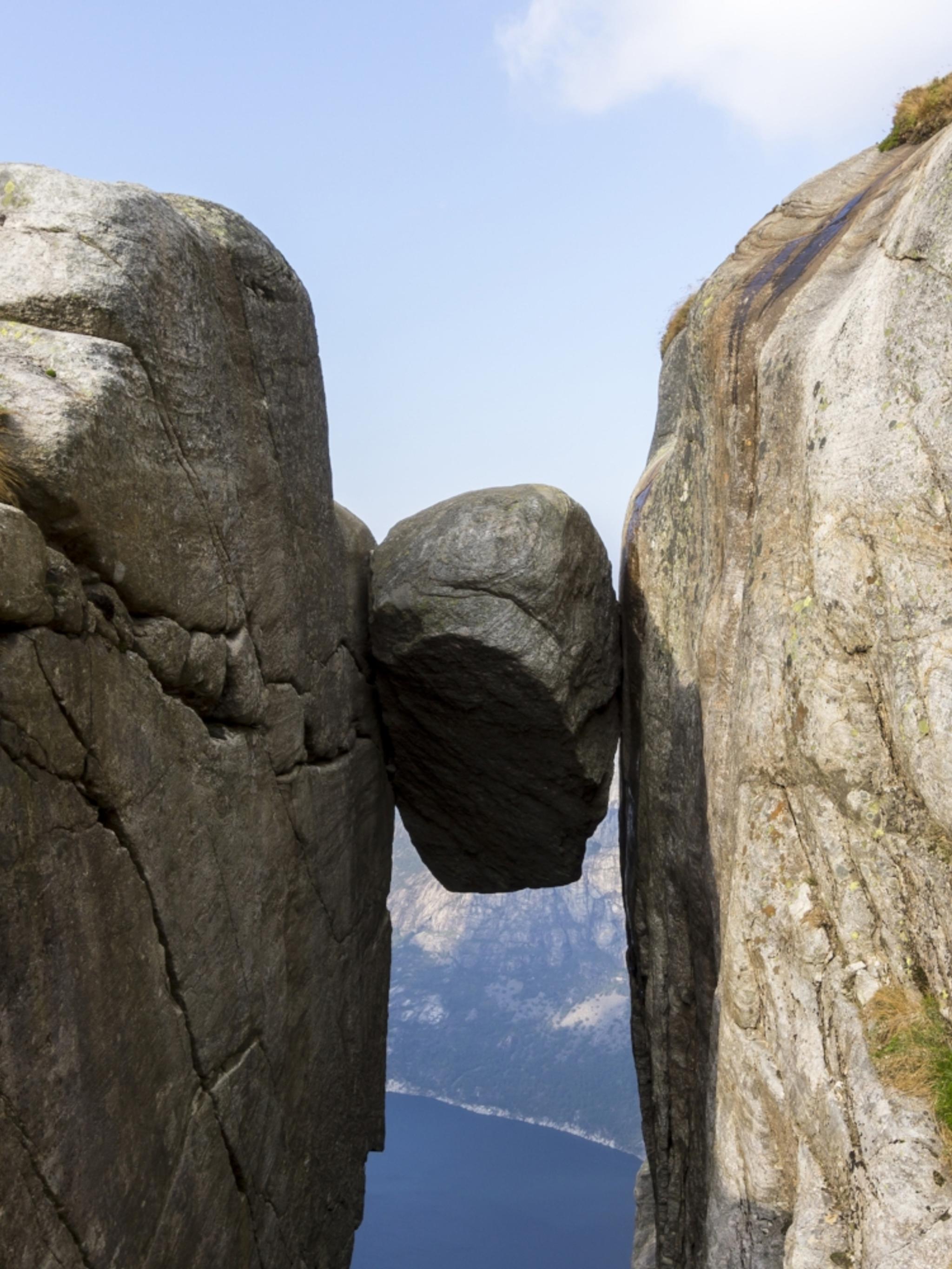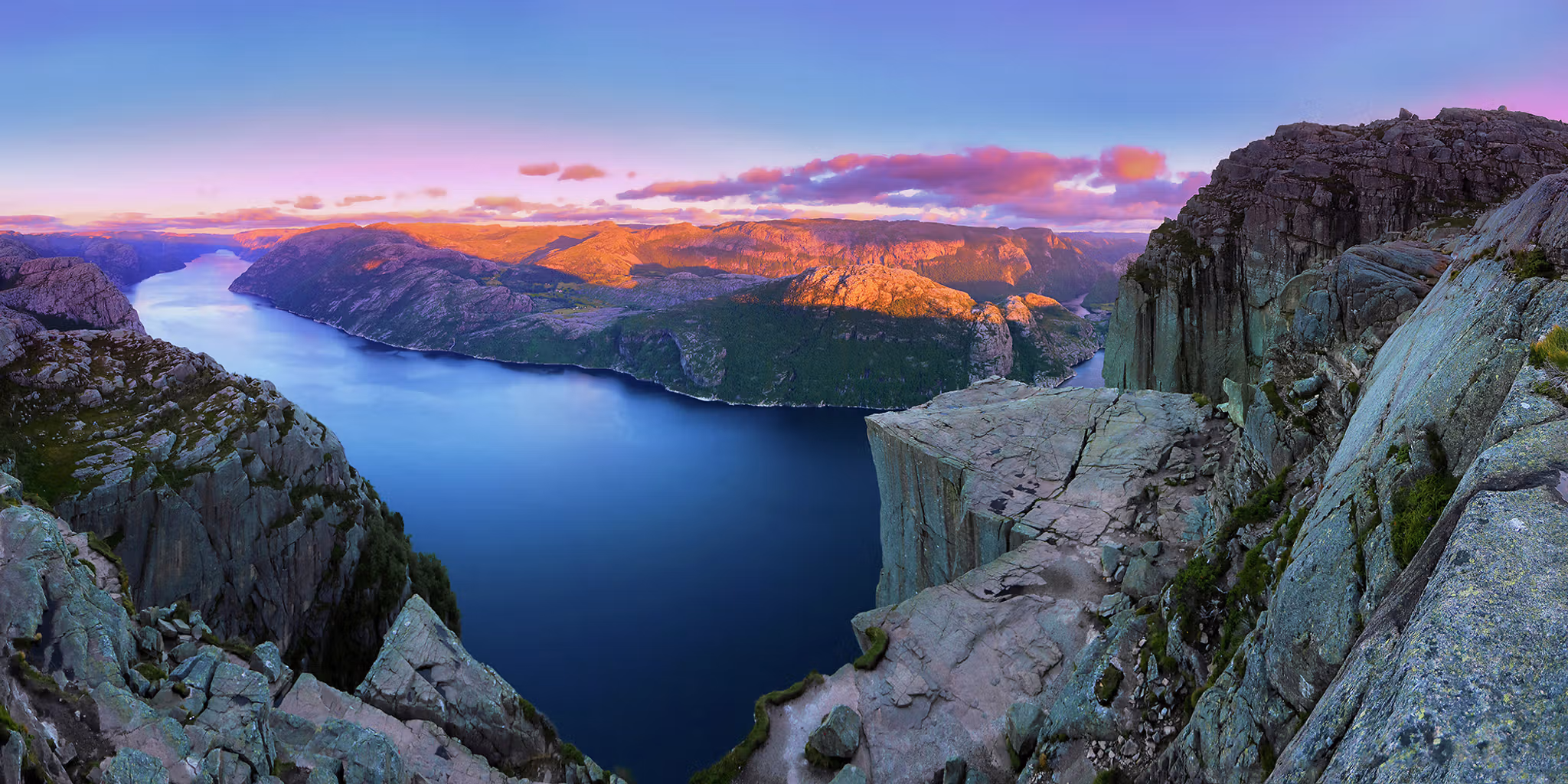
Preikestolen (The Pulpit Rock) towers 604 metres above the Lysefjord. The trek to the rock is one of Norway’s most famous mountain hikes. Preikestolen is very popular, with more than 300,000 nature-loving hikers visiting the renowned rock formation every year.
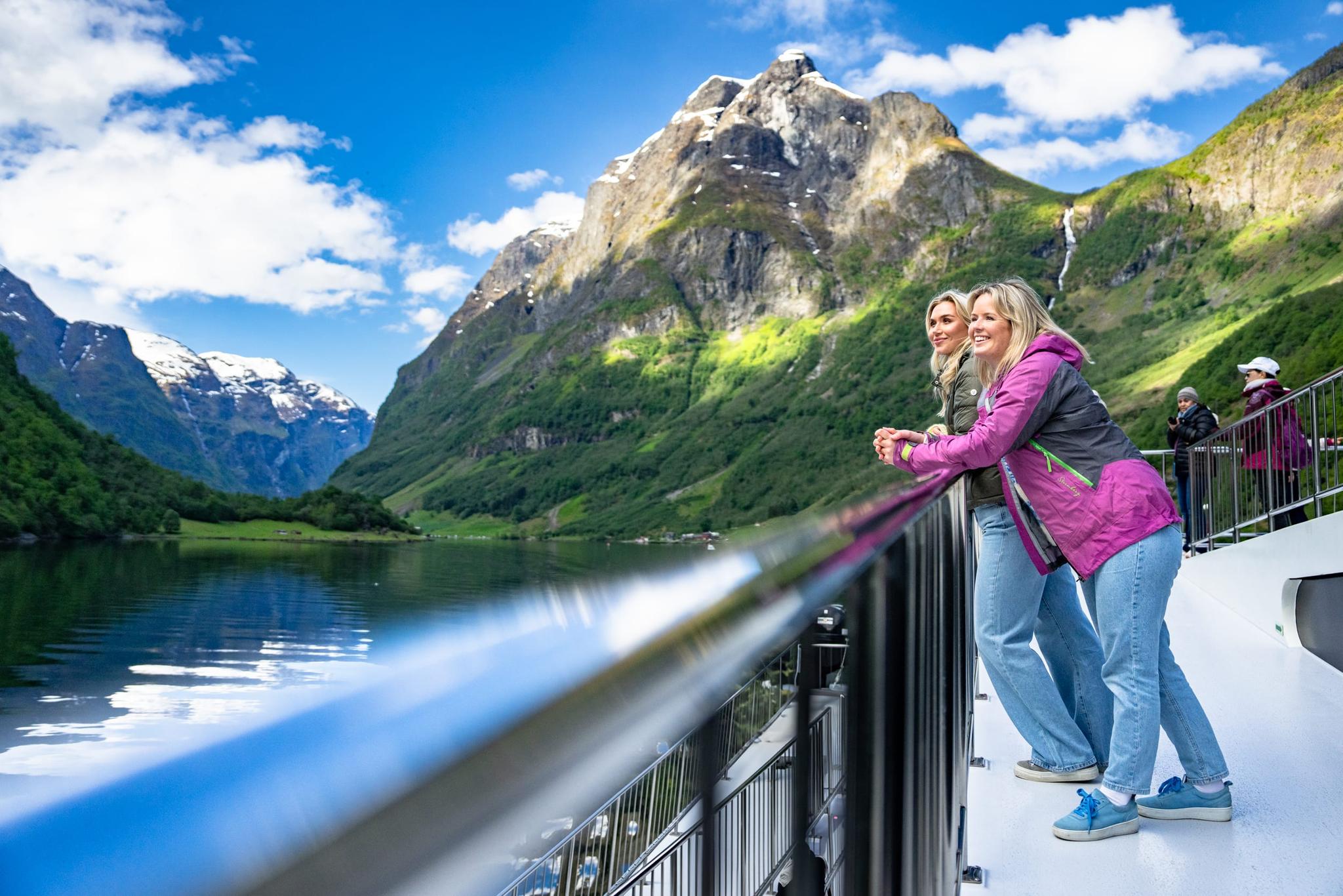
The eight-kilometre hike starts at the Preikestolen Fjellstue mountain lodge. Allow a total of about four hours for this moderately demanding roundtrip. Join one of the guided tours that run daily from April to October (subject to weather conditions), see the cliff from a silent fjord cruise, or do both – some tours offer combined hikes and cruises.
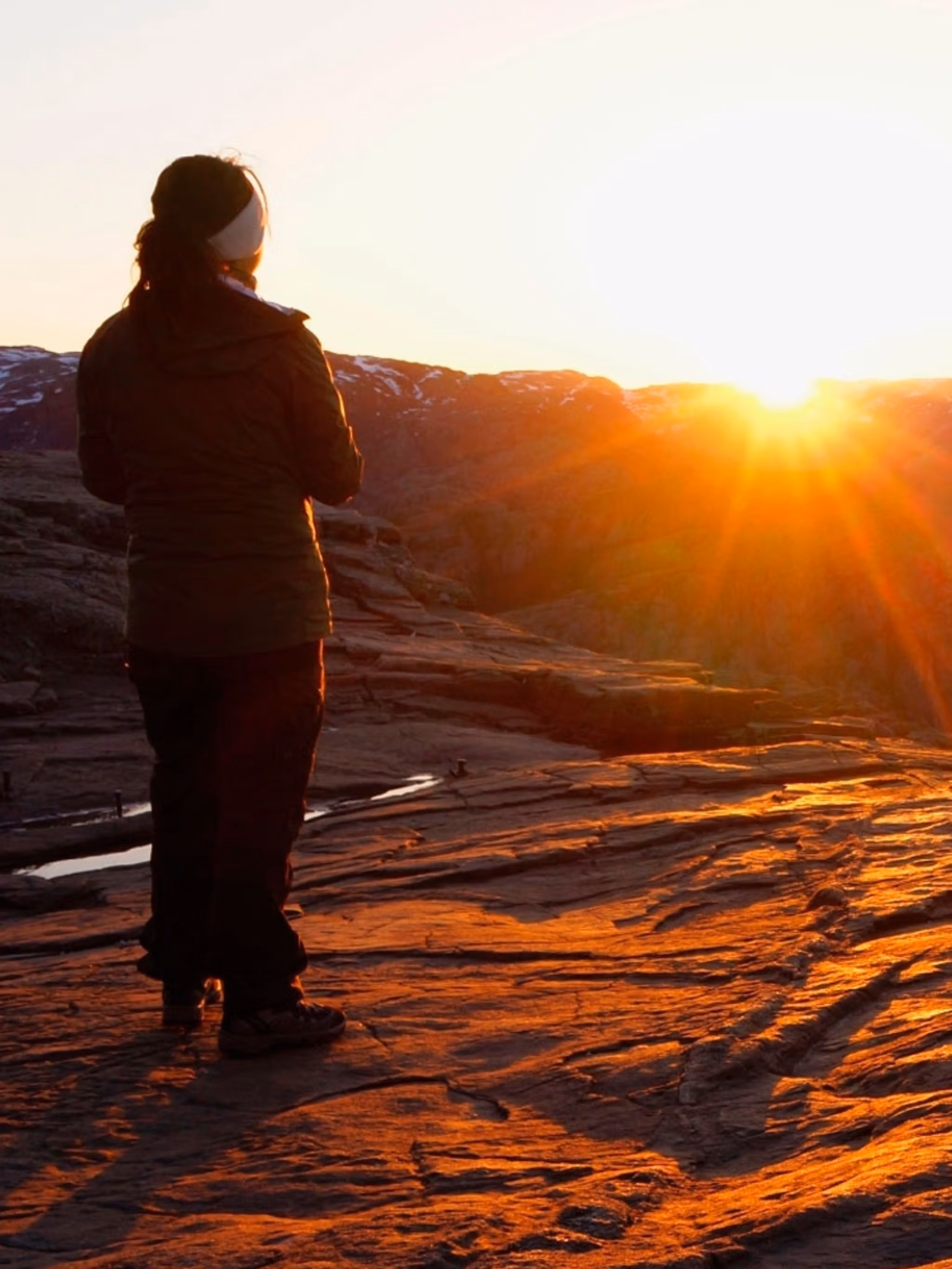
If you are concerned about sharing Preikestolen with too many people, start the walk at night, and you will experience a magical sight when the sun rises. Or just go in the afternoon.
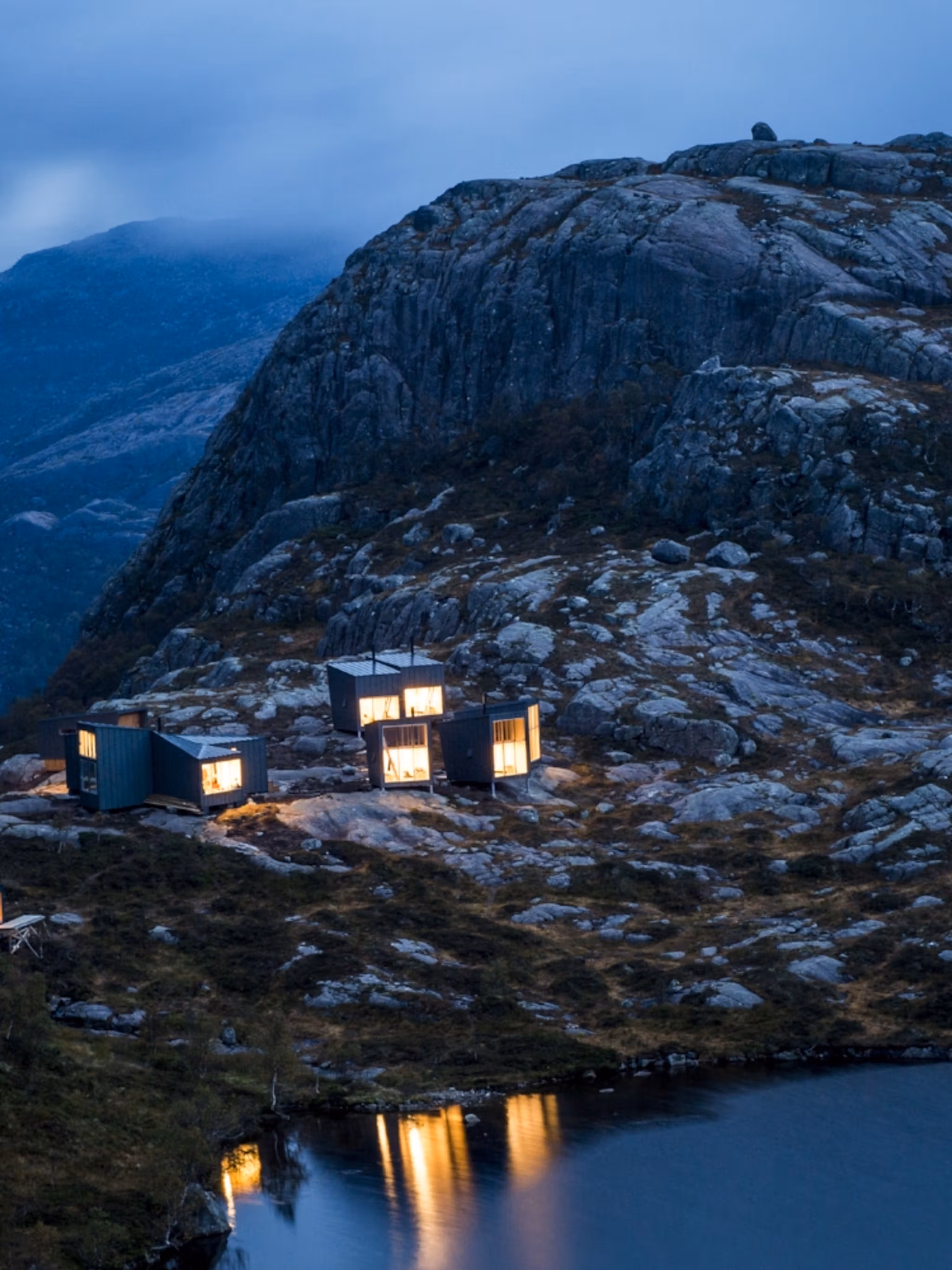
The nearest places to stay are Preikestolen Fjellstue and Lilland Hotell. You can also spend the night in Stavanger, from where you can take a boat trip on the Lysefjord.
The best time to go
The hiking season lasts from May to October. Preikestolen may be reached year-round, but from November to April you'll need special equipment and a guide. You can rent head torches, crampons, and book a guide in the area. If you decide to go without a guide it's very important to follow the Preikestolen staff’s advice.

A 4-hour hike
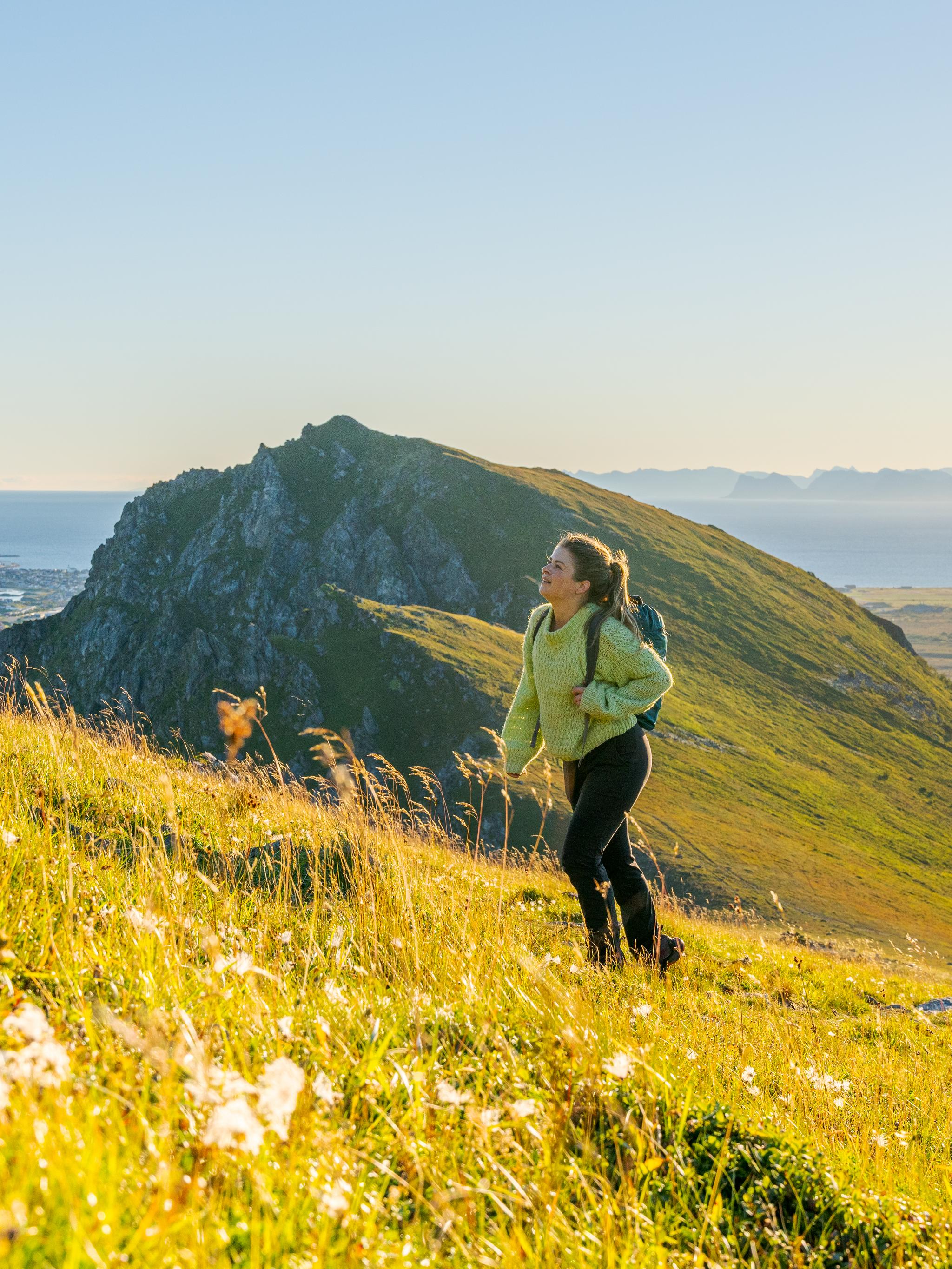
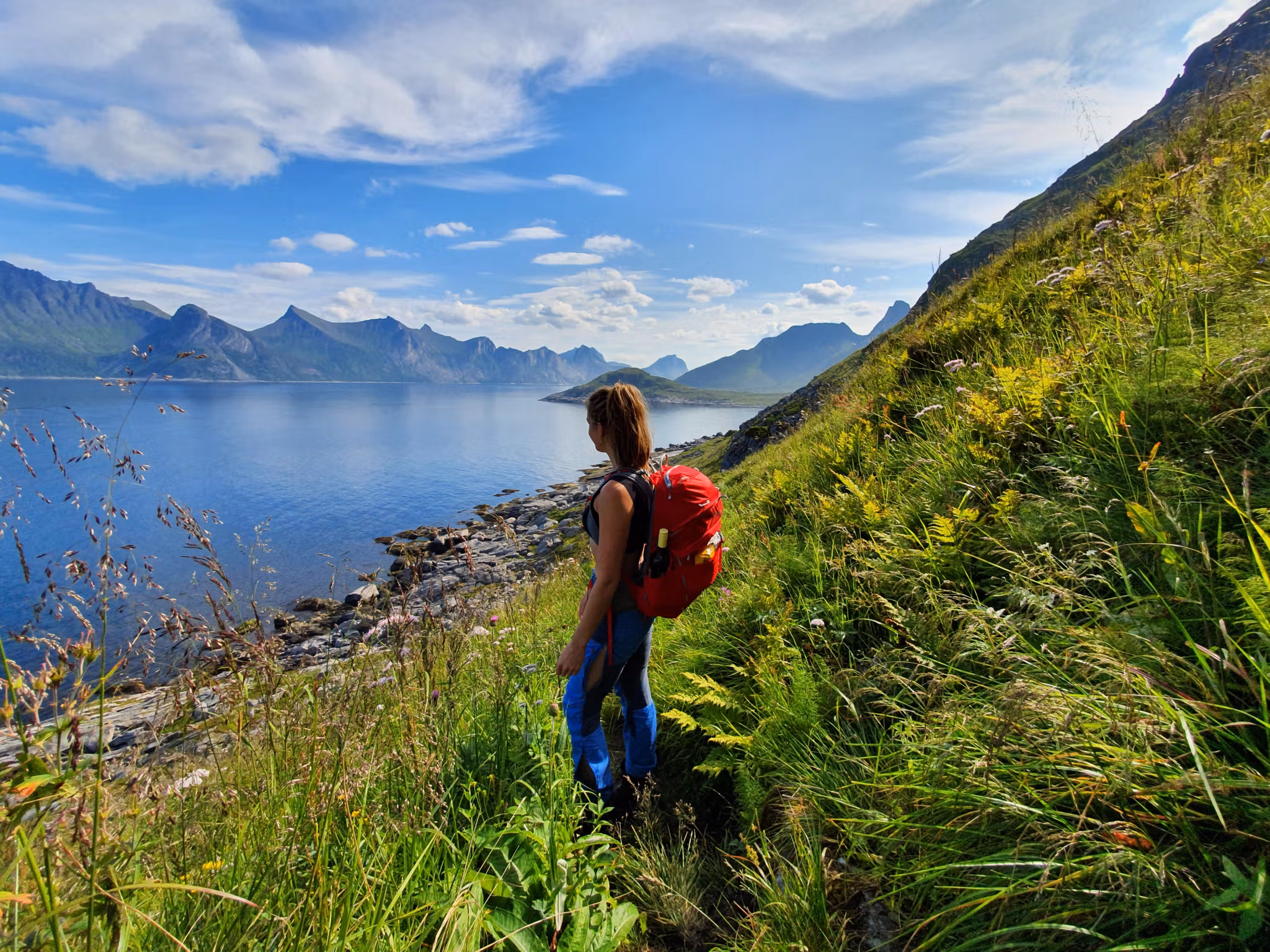
The hike to Preikestolen is a total of eight kilometres, and the roundtrip takes about four hours. The hike has an elevation gain of about 500 metres, and some sections are steep. As the hike is graded as medium difficulty, you should have some trekking experience in rough terrain before embarking on this trip.
Guided hikes
If you are inexperienced or not sure the trip is suitable for you, we recommend that youjoin a guided hike. A good guide can turn a bad day into a fantastic experience.
Safety measures
Hikers need to be rescued every year. To make sure you won’t be one of them, prepare yourself properly for the hike, and join a guided hike if you’re not an experienced hiker.
Also, make sure you understand mountain safety before you go.
Do this:
Research the length, duration, and recommended physical conditioning for the hike you want to do.
Check the weather conditions and always listen to local mountain residents.
Buy or rent the right equipment for your trip.
Always bring enough food, water, and an extra change of clothes in your backpack.
Consider joining a guided tour or using a local guide in order to minimise risk.
Avoid this:
Do not wear jeans, trainers, or other everyday clothing.
Do not start your trip late in the day, as you might risk having to hike in the dark.
Never start your mountain hike without being in good enough physical shape.
Do not depend on a map on your phone, as there is not always coverage in the mountains.
Don’t leave anything, including rubbish, behind.
Be prepared and pack your backpack like a pro with our hiking tips.
Weather conditions in the mountains
Even if sunshine and fair weather are predicted, weather conditions can change quickly. Always check the forecast before you start your trip, and make sure you are prepared for changing weather. Do not embark on a hike if the forecast predicts strong winds, heavy rain, or fog. Get the latest weather forecast at yr.no.
Proper hiking equipment
Pack a 30-litre backpack to make sure you have enough room for everything you need in the Norwegian mountains. A map and compass, first aid equipment, a fully charged mobile phone, and a headlamp are just some of the things we recommend you keep in your backpack. Scroll down to see a video with a complete list.
Warm, suitable clothing
Good hiking boots are recommended. Some parts of the hike go across rough terrain, and you will need ample foot and ankle support. There are occasional strong gusts at Preikestolen, so use wind and waterproof outerwear. You should also carry an extra set of clothes, including a hat, a scarf, and gloves or mittens.
Food and water
Always bring enough food and water when you set out on a hike. It's important to have enough to make sure your energy reserves last all the way back too.
Toilets
There are no toilets along the trail, so use the car park facilities before you start your hike. If you have to go along the way, keep downhill from the trails and well away from streams and lakes. Bring your rubbish back to the bins at the car park.
How to get there
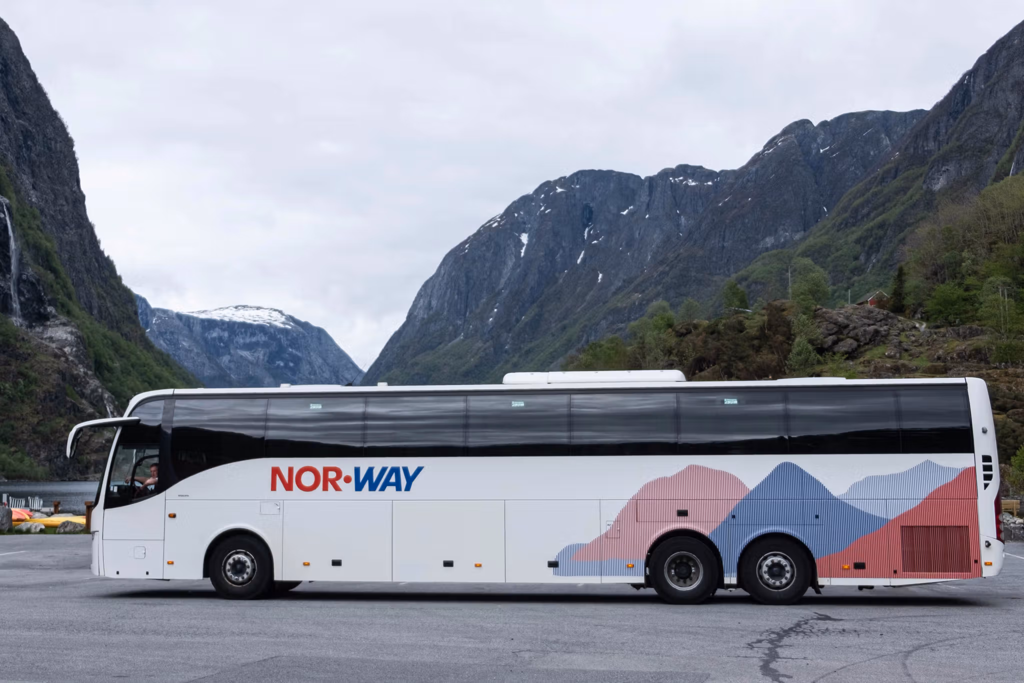
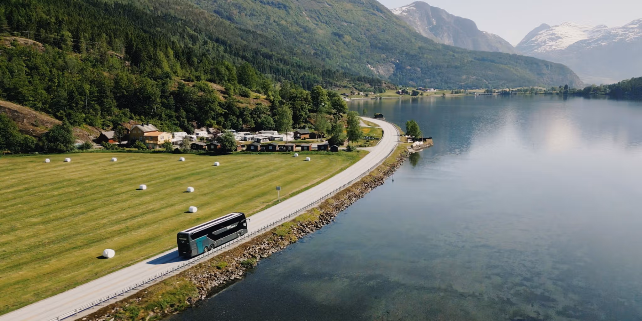
The hike starts at Preikestolen Fjellstue. You can get there by car and boat. There is also a bus service from Stavanger. If you are driving from Stavanger, you can take the ferry to Tau, and then continue to Preikestolen Fjellstue via Jørpeland on the Rv 13. From Sandnes, you can take the ferry from Lauvvik to Oanes and drive up to Preikestolen Fjellstue from there. See more here on how to get to Preikestolen.
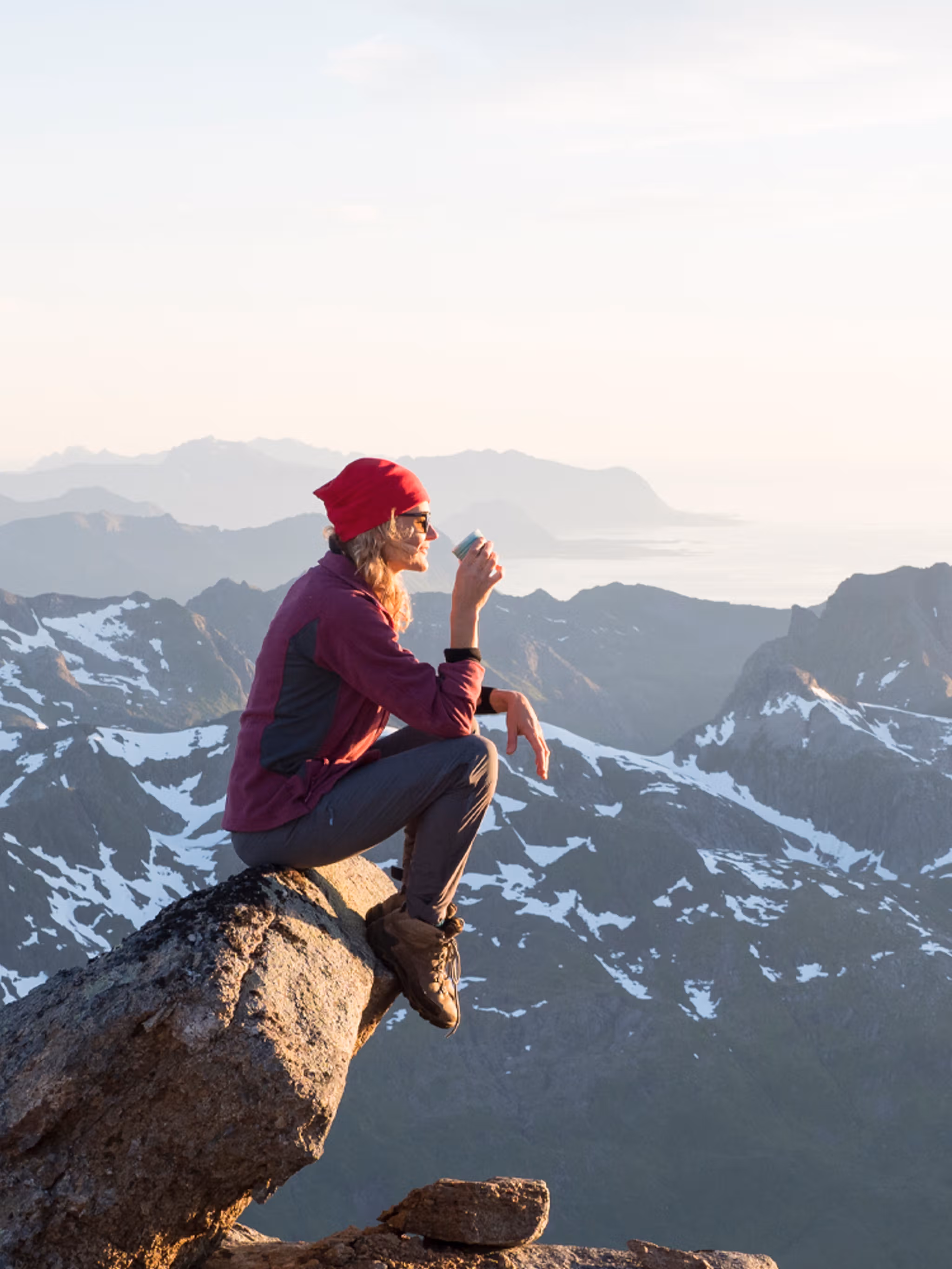
Other hikes in the area
There are many other hikes around Preikestolen, including easier options. Find more hikes in the Stavanger region and Ryfylke on the map below.
Get ready
Learn how to avoid common mistakes and see what to pack for summer hiking.
Get inspired
Here is a selection of other articles you might like.