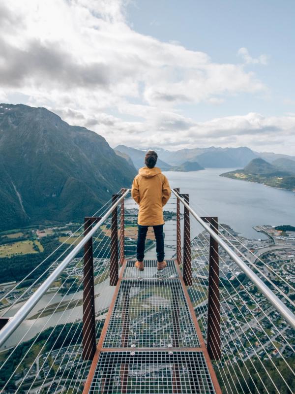
Hairpin bends, mighty waterfalls, rugged mountains, famous landmarks, and a UNESCO-listed fjord all feature on this thrilling and equally breathtaking road trip.
Norwegian Scenic
Route Geiranger-Trollstigen
Winding roads through truly dramatic scenery
The Norwegian Scenic Route Geiranger-Trollstigen, one of 18 Norwegian Scenic Routes, is an exhilarating drive that takes you to insanely beautiful viewpoints.
An iconic road trip
Explore a scenic route that covers everything from vast fjord landscapes to outstanding mountain passes in the span of just a few hours. The 104-kilometre-long Norwegian Scenic Route Geiranger-Trollstigen runs between Sogge Bru in Romsdalen and Langvatnet near Strynefjellet. This includes a ferry from Eidsdal to Linge.
The route lies between Åndalsnes and Strynefjellet, and the quickest way to get there is to fly to Ålesund or Molde and drive for around 1 1/2 hours to Åndalsnes. You can also fly to Ørsta-Volda airport and drive around 2 1/2 hours to Langvik.
Another option is driving around 4 1/2 hours from Trondheim.
You can book plane tickets with Norwegian, Widerøe, or SAS.
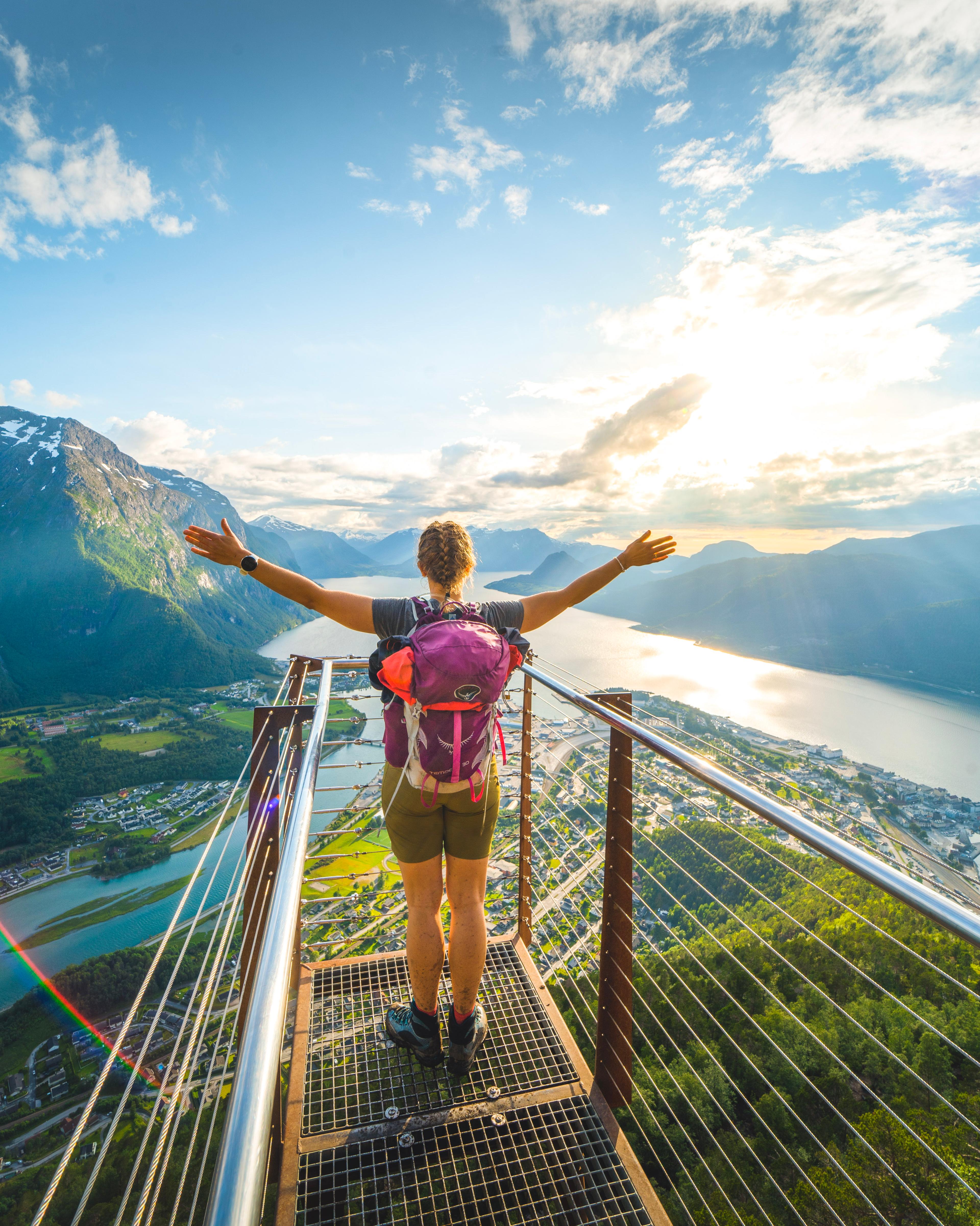
It you want to start the route from the Sogge Brigde, then you can easily stop by Åndalsnes first. It's a six minute drive from the bridge and is known as the alpine village by the fjord. Hike to the famous viewpoint Rampestreken, that towers 550 metres over Åndalsnes.
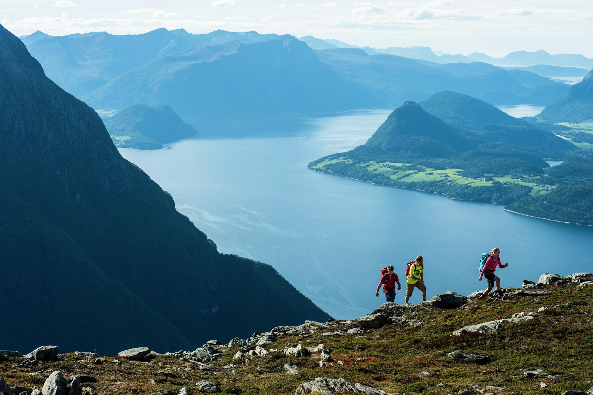
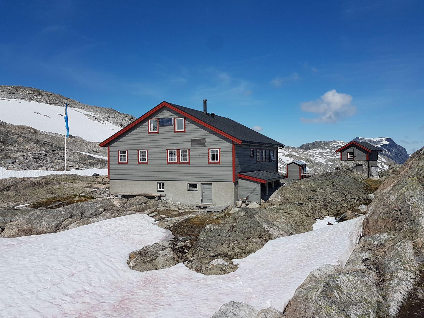
For experienced hikers, the 11 kilometer hiking trail over Romsdalseggen offers incredible views. There are also plenty of easier hikes such as Litlefjellet. Or maybe you'd like to take the gondola up to Eggen Restaurant, for dinner with a view!
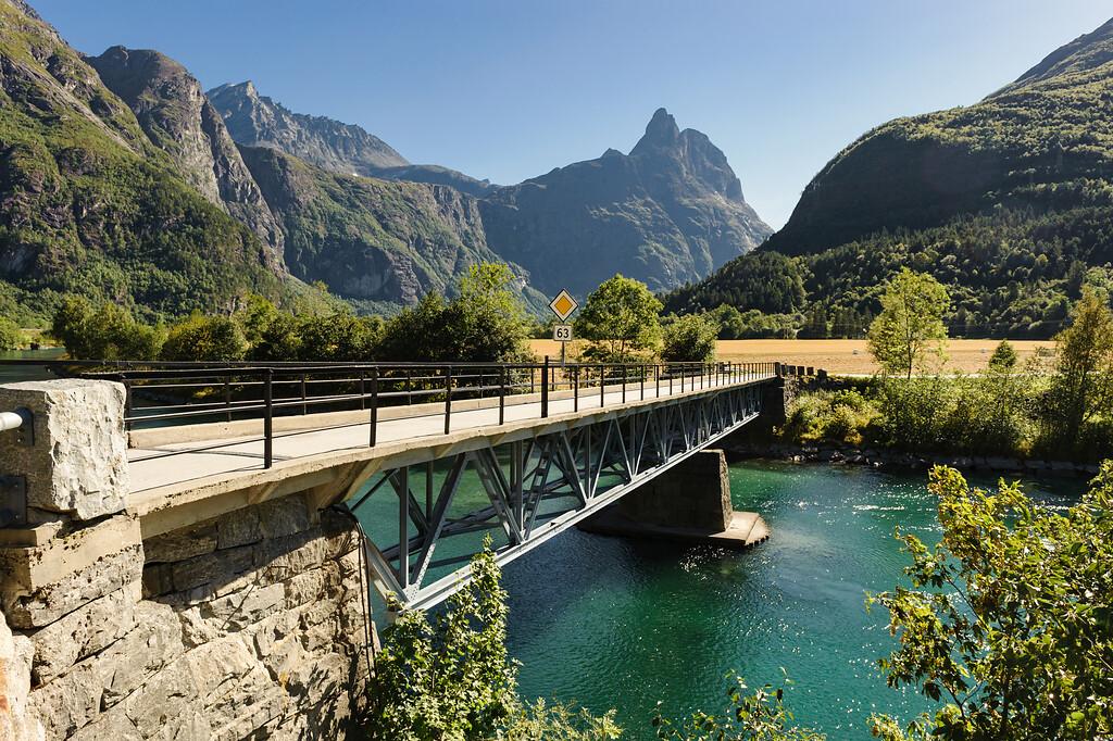
The Sogge Bridge marks one of the two starting points of the scenic route. It crosses the clear blue water of the Rauma River, surrounded by beautiful mountain landscapes.
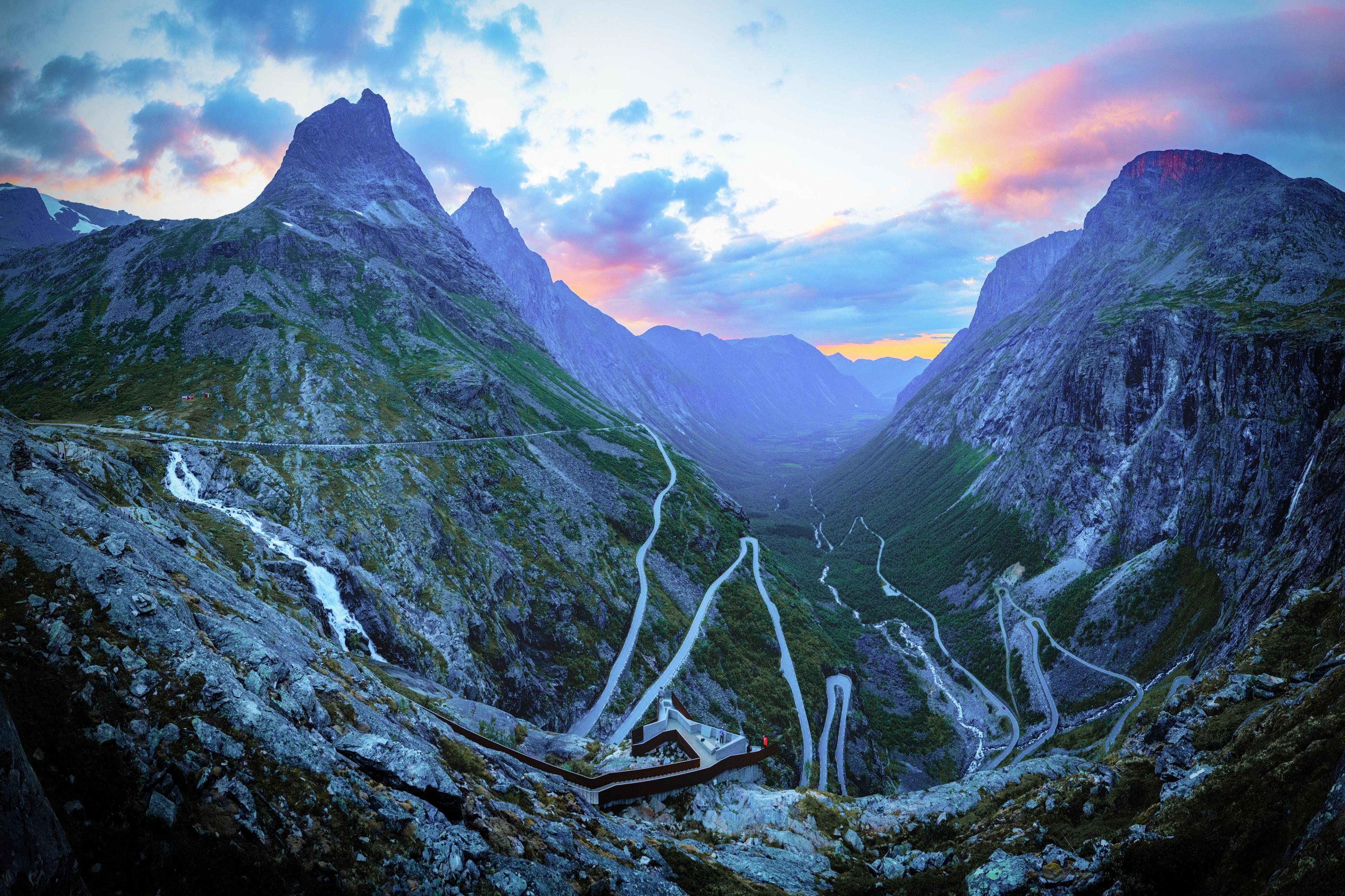
The first landmark you'll encounter is none other than the famous Trollstigen, just 15 km from the Sogge Bridge. Head up to the plateau, for a panoramic view of the eleven hairpin bends that wind up the mountainside. There's also a café, souvenir shop, toilets, and parking at the plateau.
Note that the winding Trollstigen road may close at short notice due to unforeseen circumstances, such as rockslides. Driving along this road is quite an experience, but please ensure that you drive responsibly and remain aware of your surroundings and other vehicles.
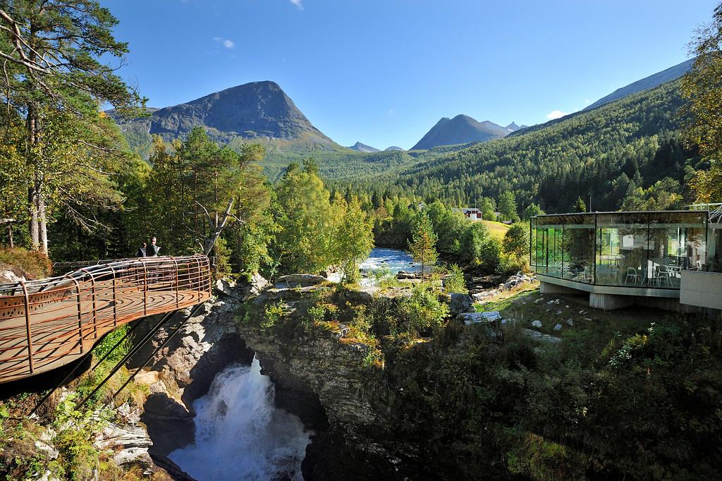
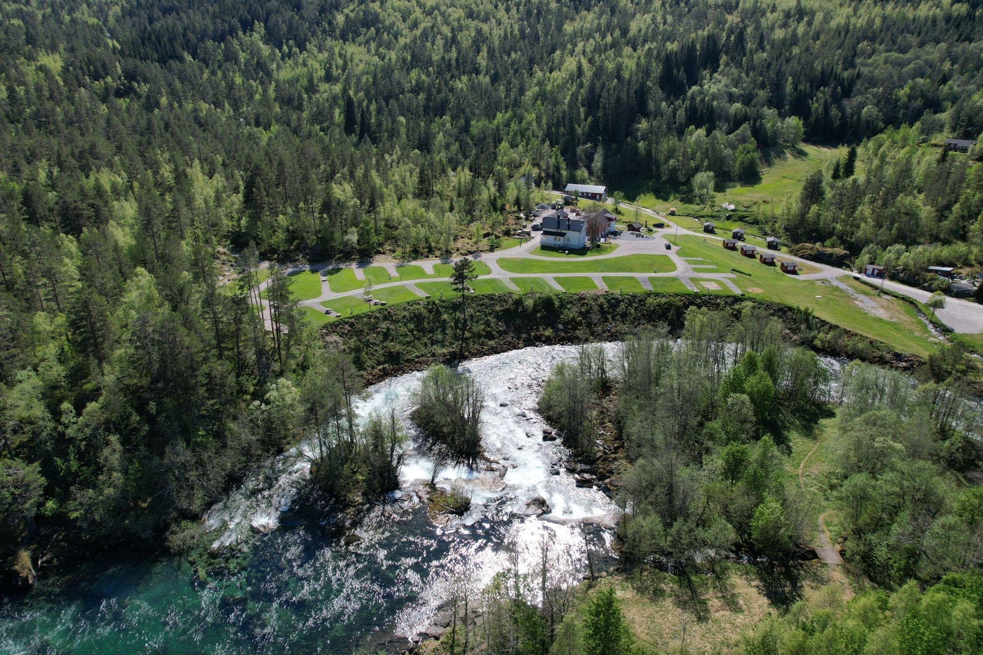
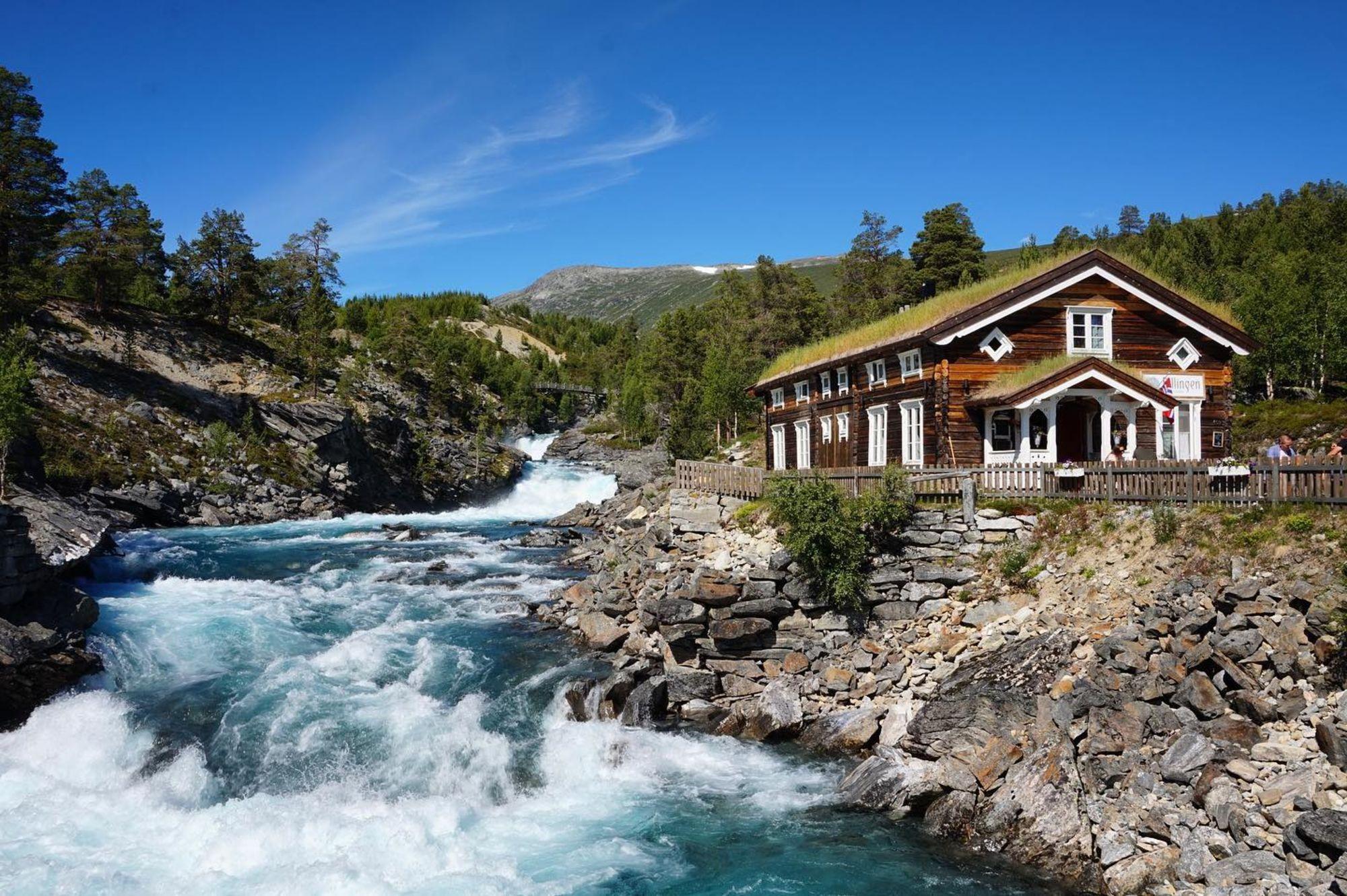
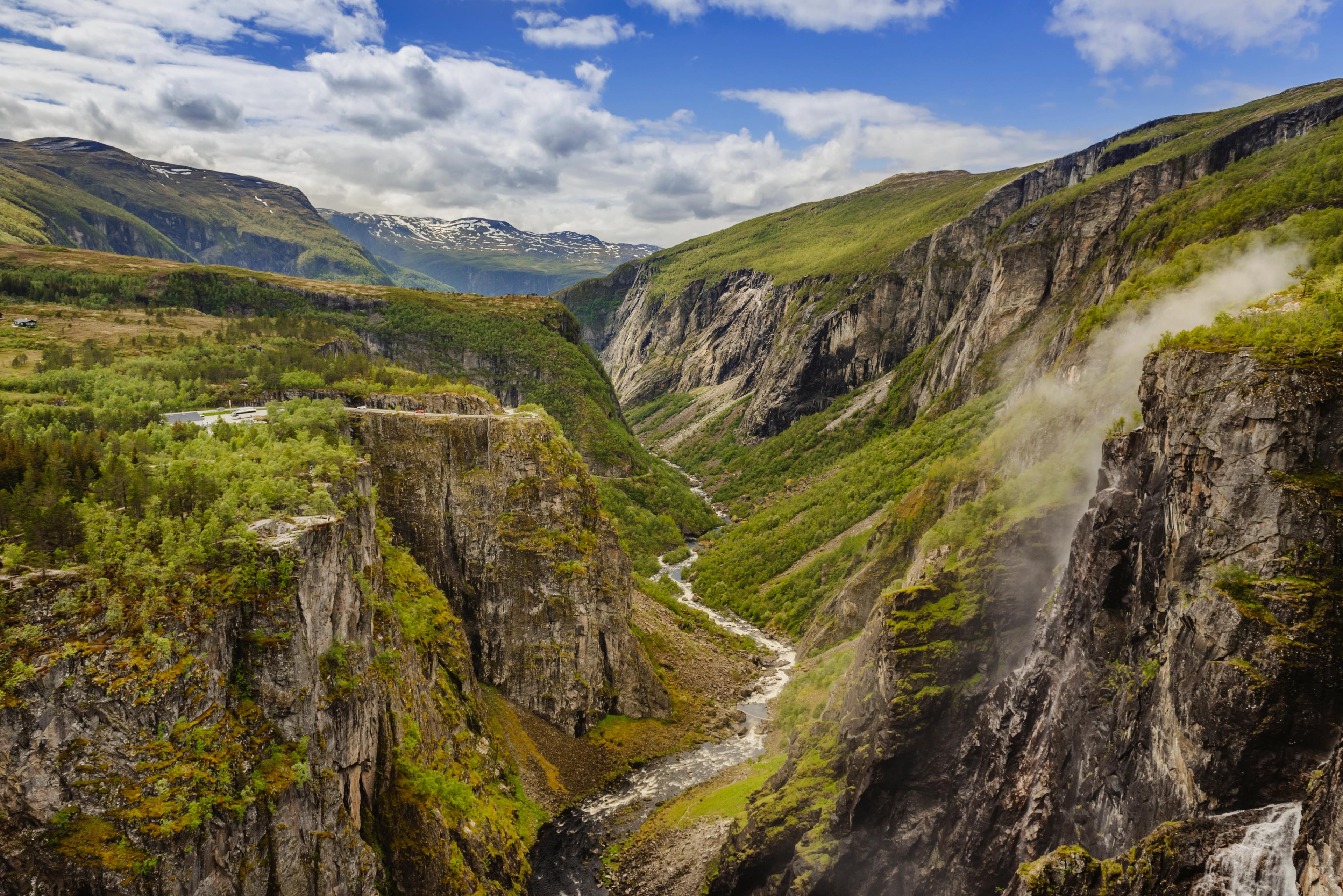
Continue along the scenic route for another 20 kilometres until you reach Gudbrandsjuvet ravine. The viewing point is located in the Valldal valley, where you'll be surrounded by stunning scenery. Over time, the Valldøla river has cut intricate formations into the surrounding rock, creating this beautiful natural phenomenon. There's also a café right by the river during the summer season.
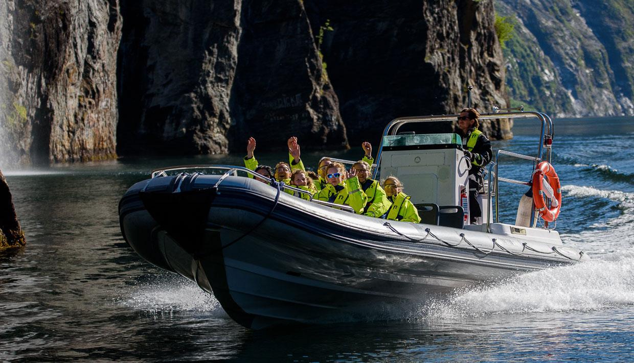
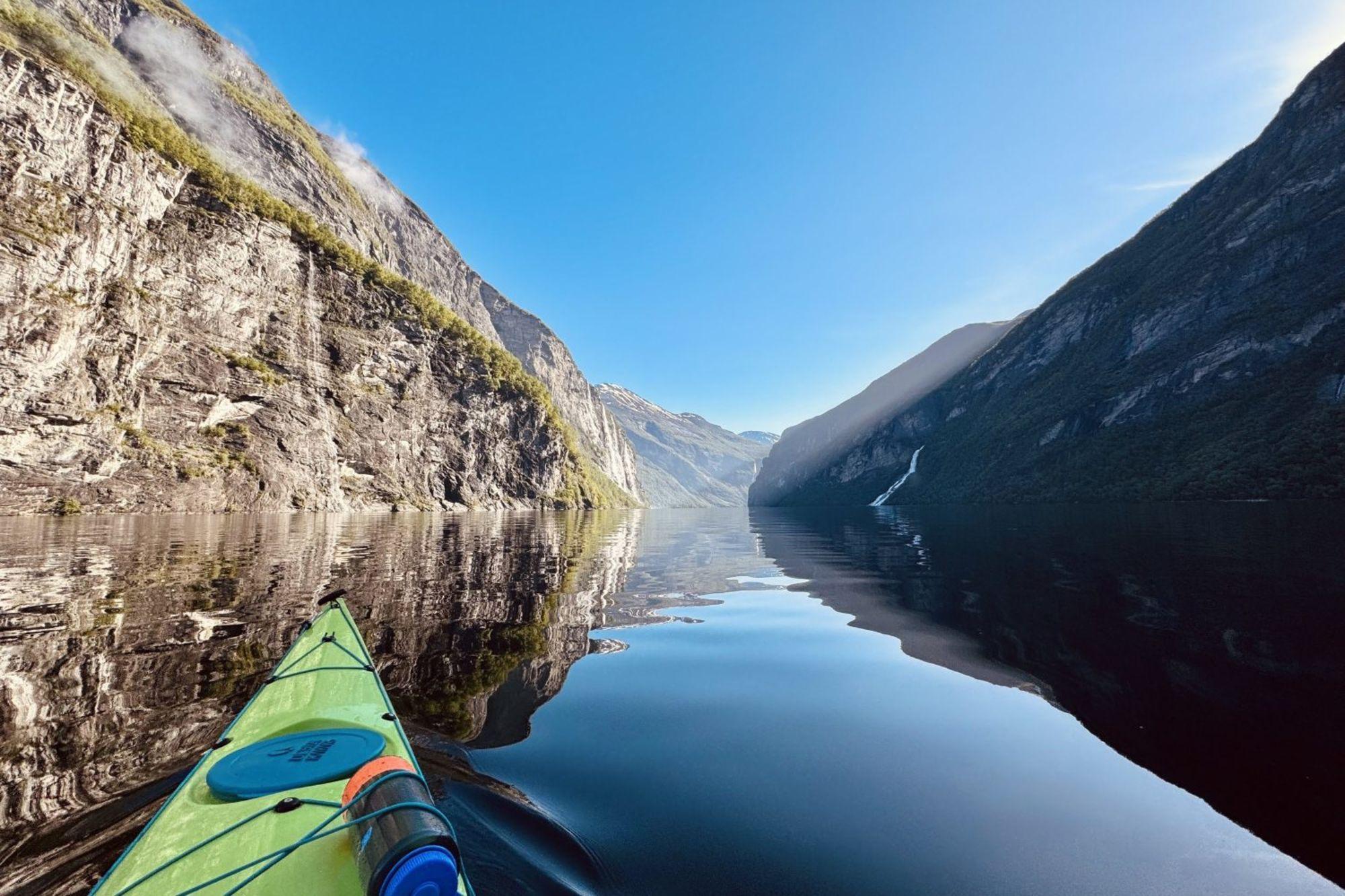
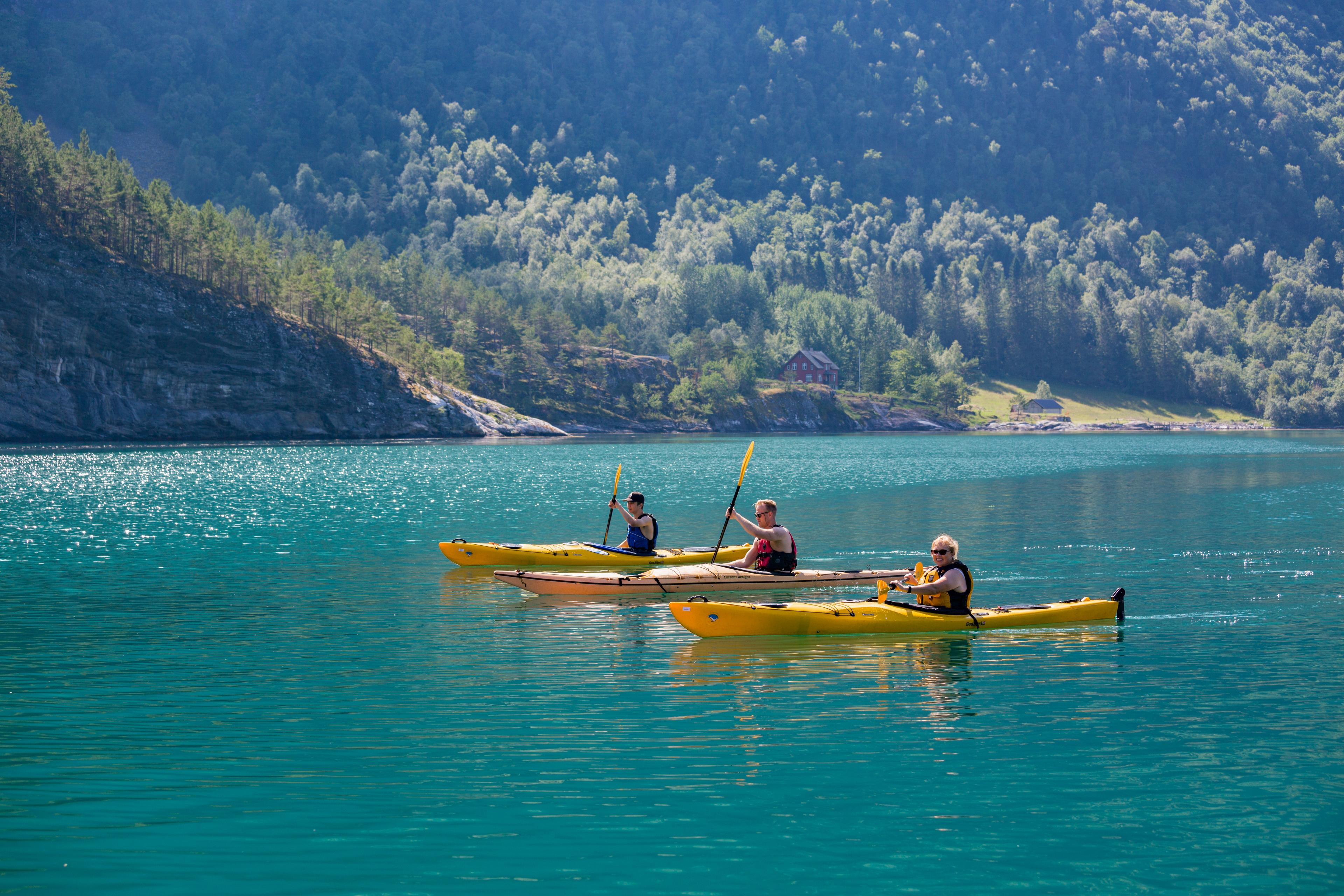
It's also worth staying in Valldal for a night or two, as it's a perfect place for exciting summer activities, such as canyoning and rafting at Gudbrandsjuvet, or hiking and peaceful fjord kayaking.
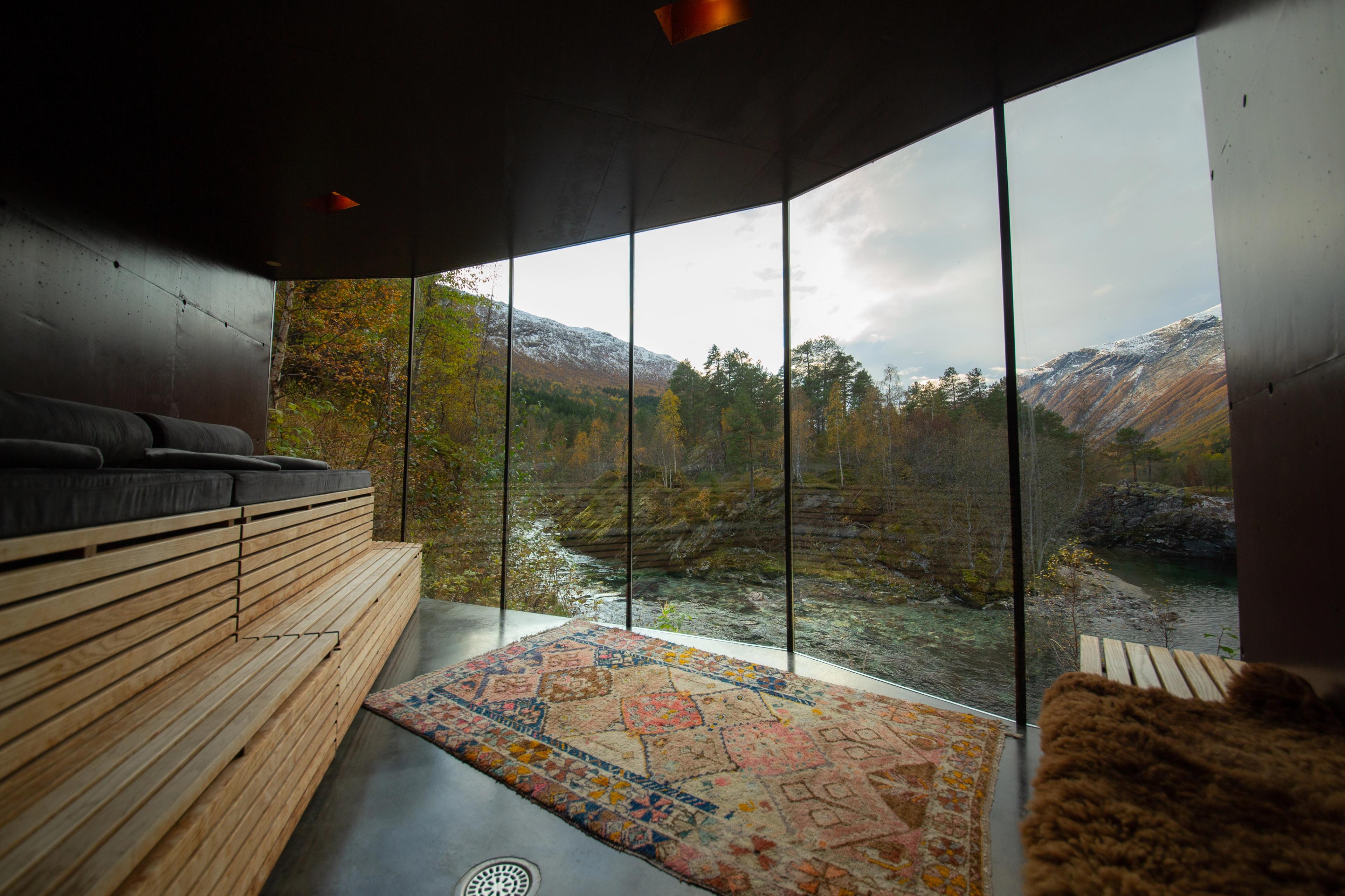
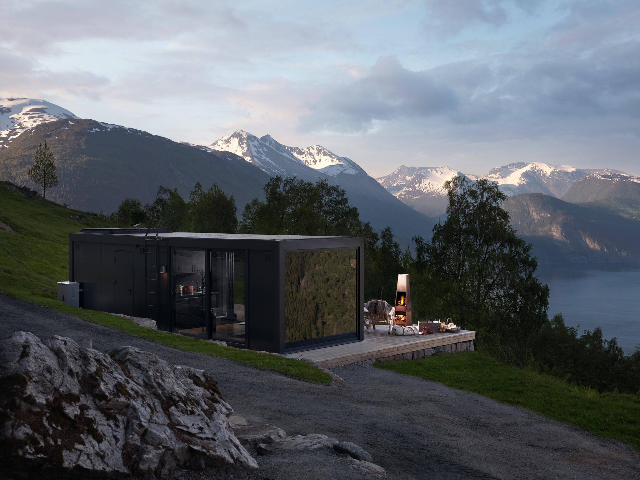
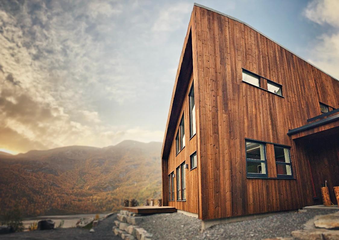
If you really want to spoil yourself, stay at the Juvet Landscape Hotel. This architectural beauty is expertly blended with the surrounding nature, making it the perfect escape.
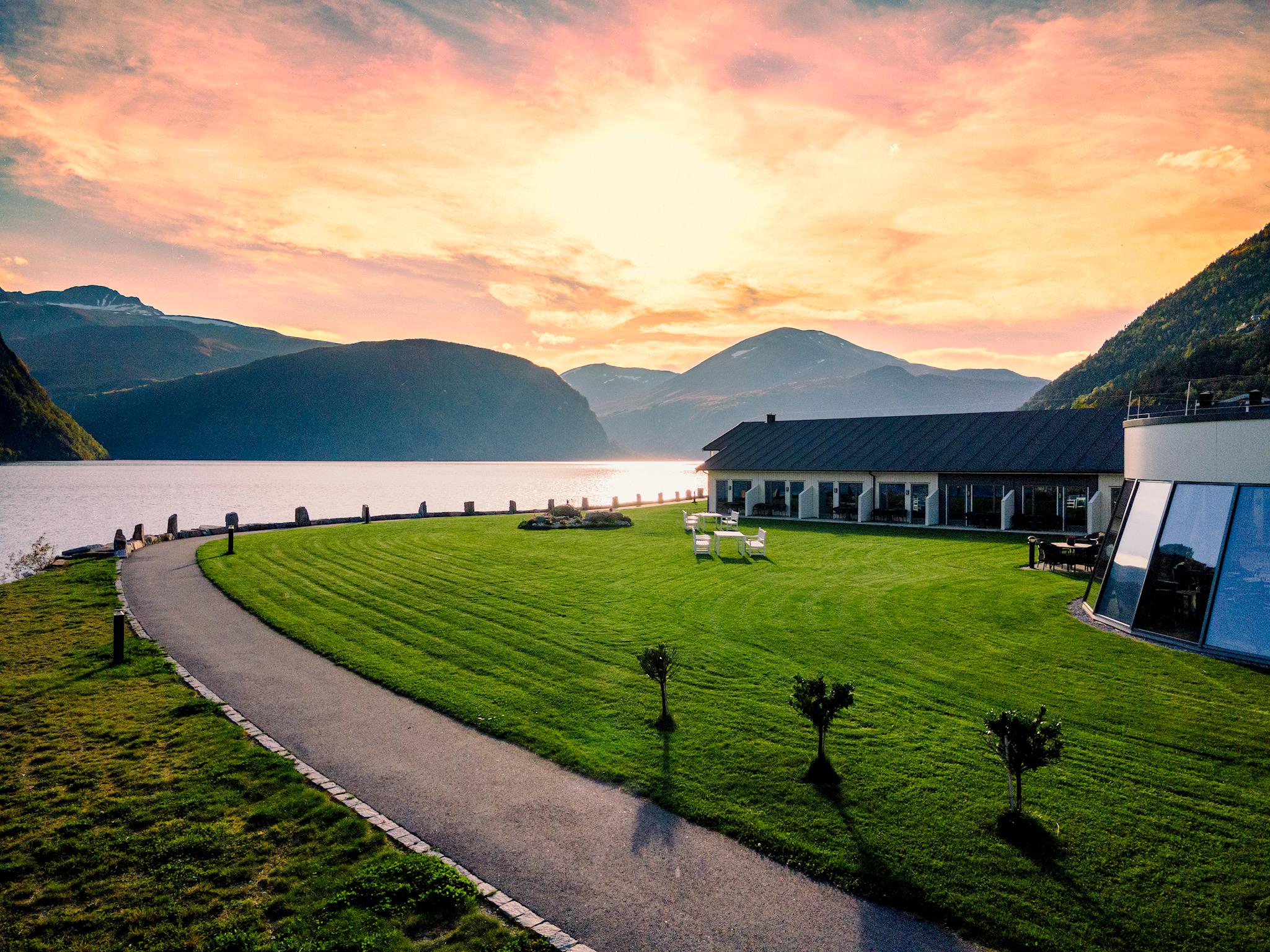
Where to stay
Find somewhere to stay in the Geiranger area.


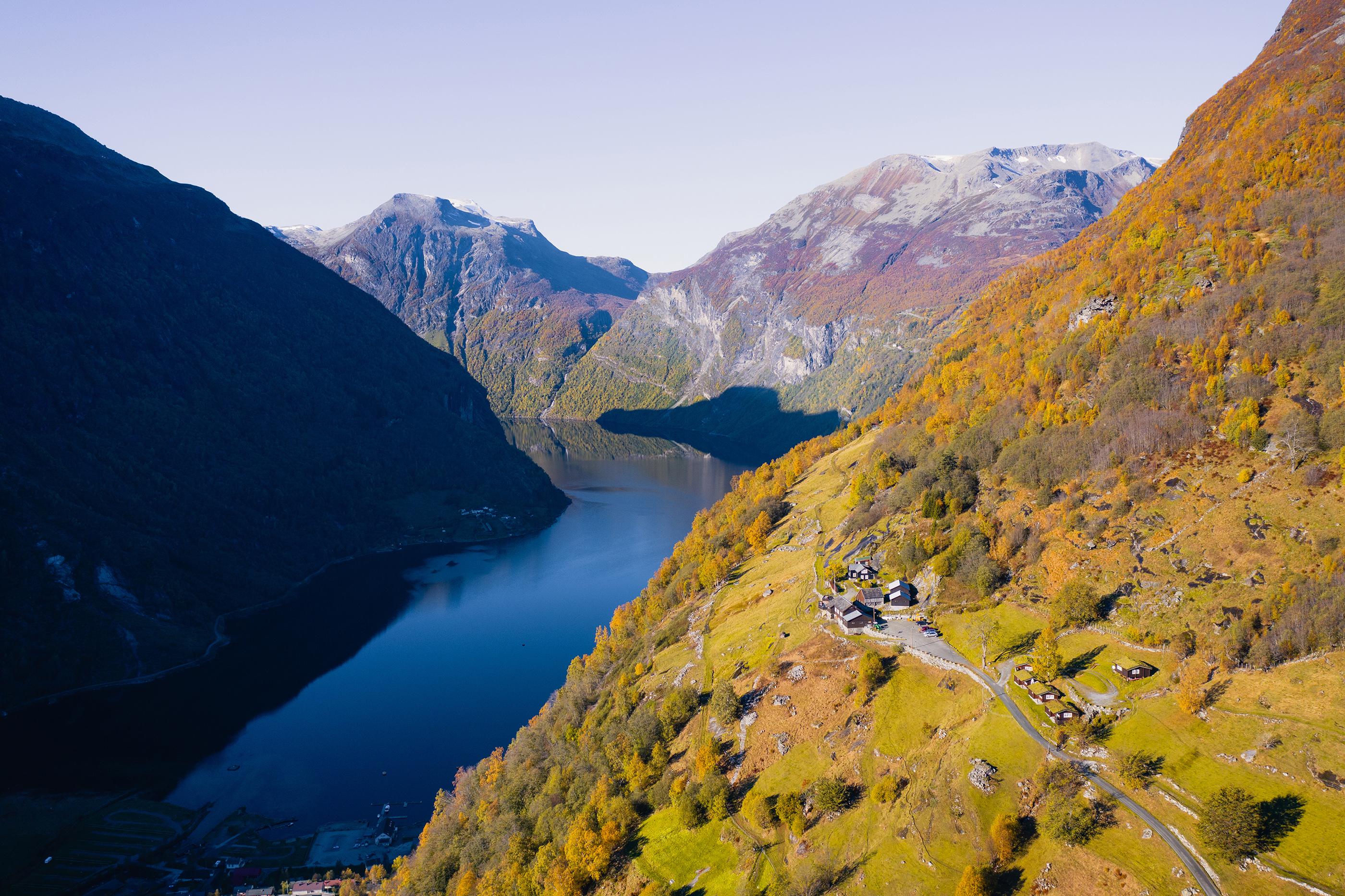
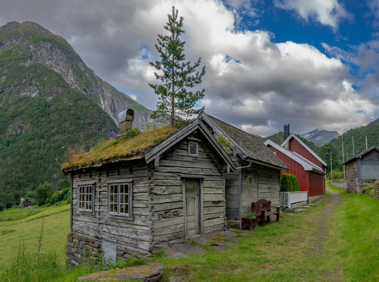
Then follow the main road for about 15 kilometres. Here, you can decide if you fancy taking a little detour to Tafjord. This idyllic village nestled at the end of the fjord, is perfect for enjoying nature and the great outdoors.
If you're an adventurous type, how about rappelling down the 100 metre high Zakarias Dam?
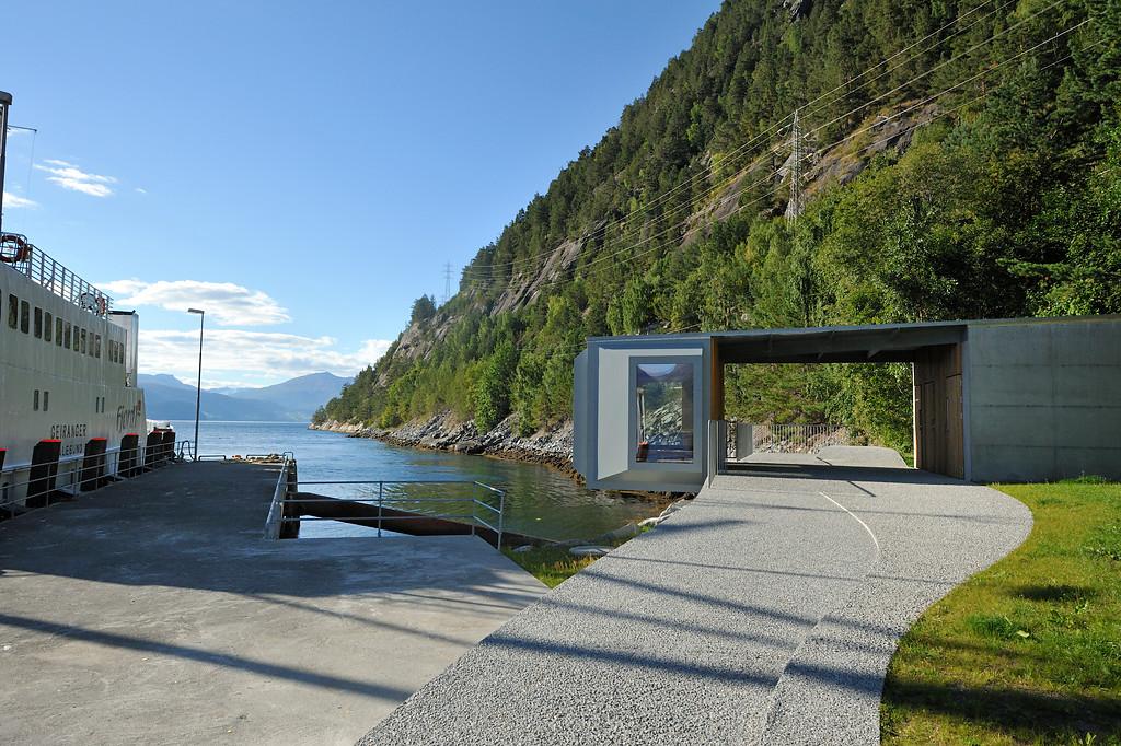
Once you're back from the detour, drive for another five minutes until you reach Linge ferry quay, which will transport you across the fjord to Eidsdal. If you're early, there's a large waiting room with views of the fjord, as well as its own orchard.
In Eidsdal you can take another detour to a place called Norddal, about five minutes away. This hidden gem between Geiranger and Trollstigen offers tasty local delicacies like cheese and toffee made from goat's milk and ripe, juicy berries.
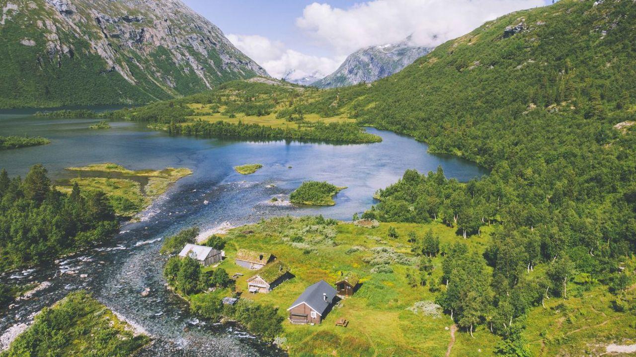
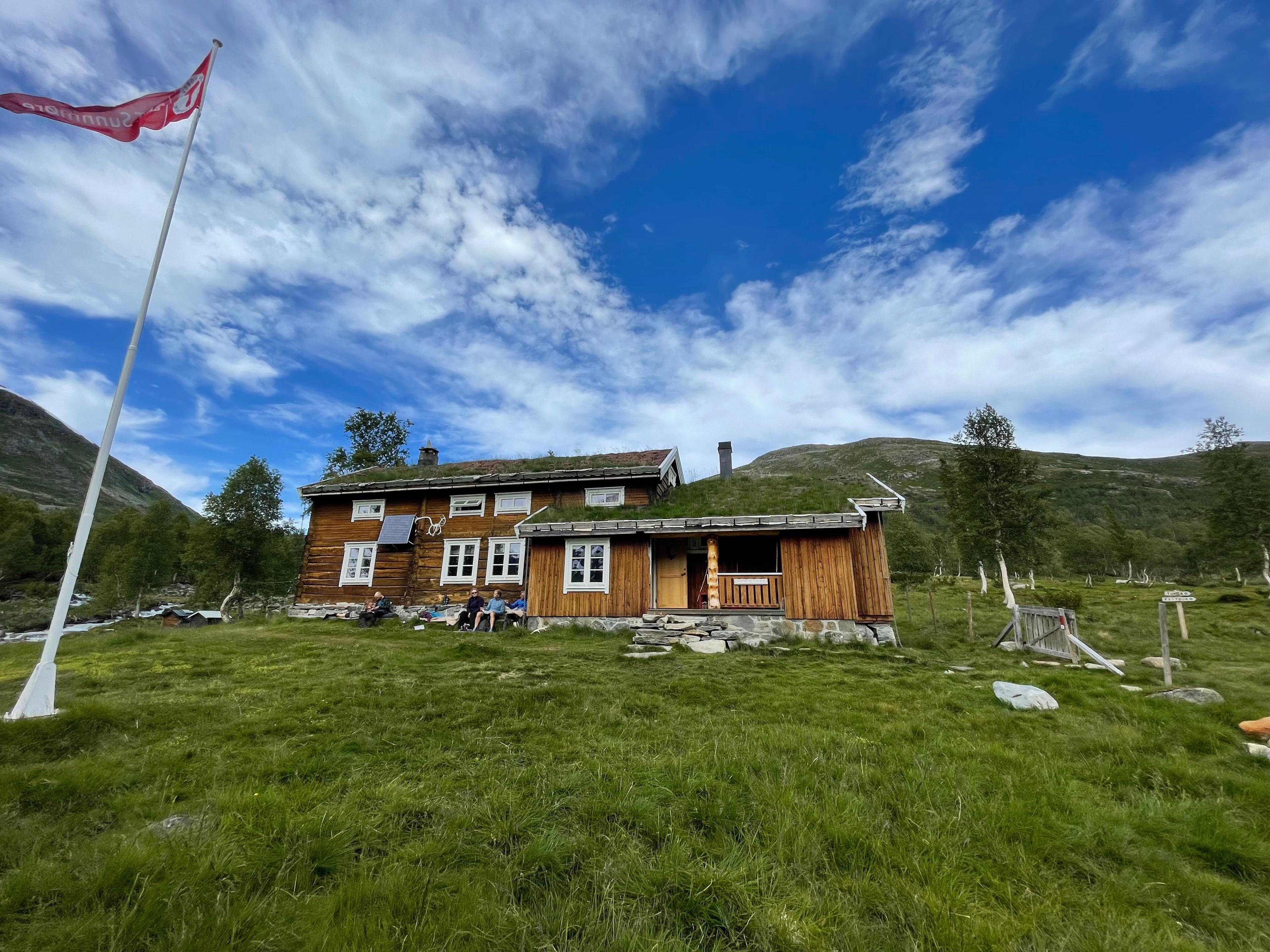
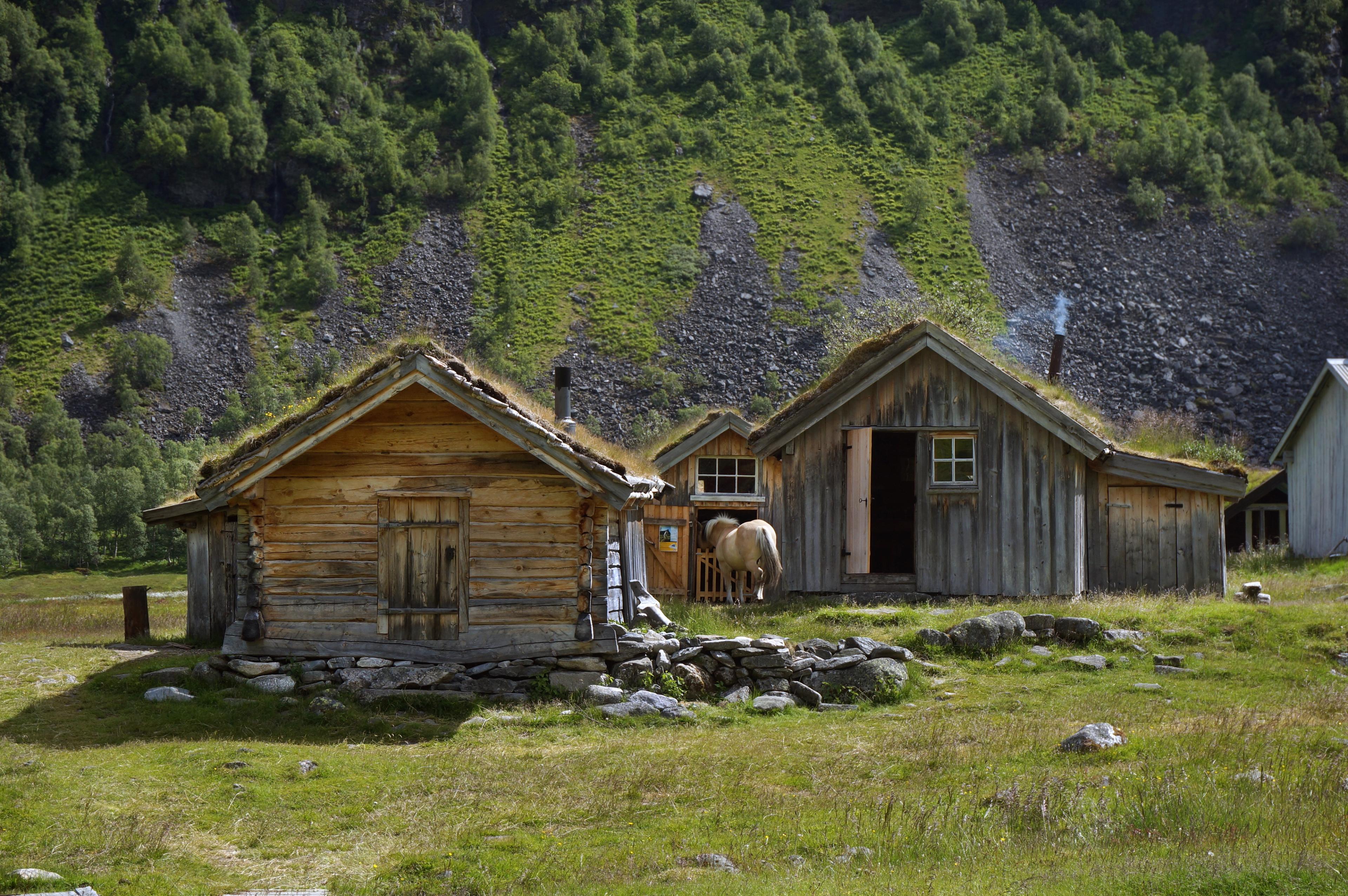
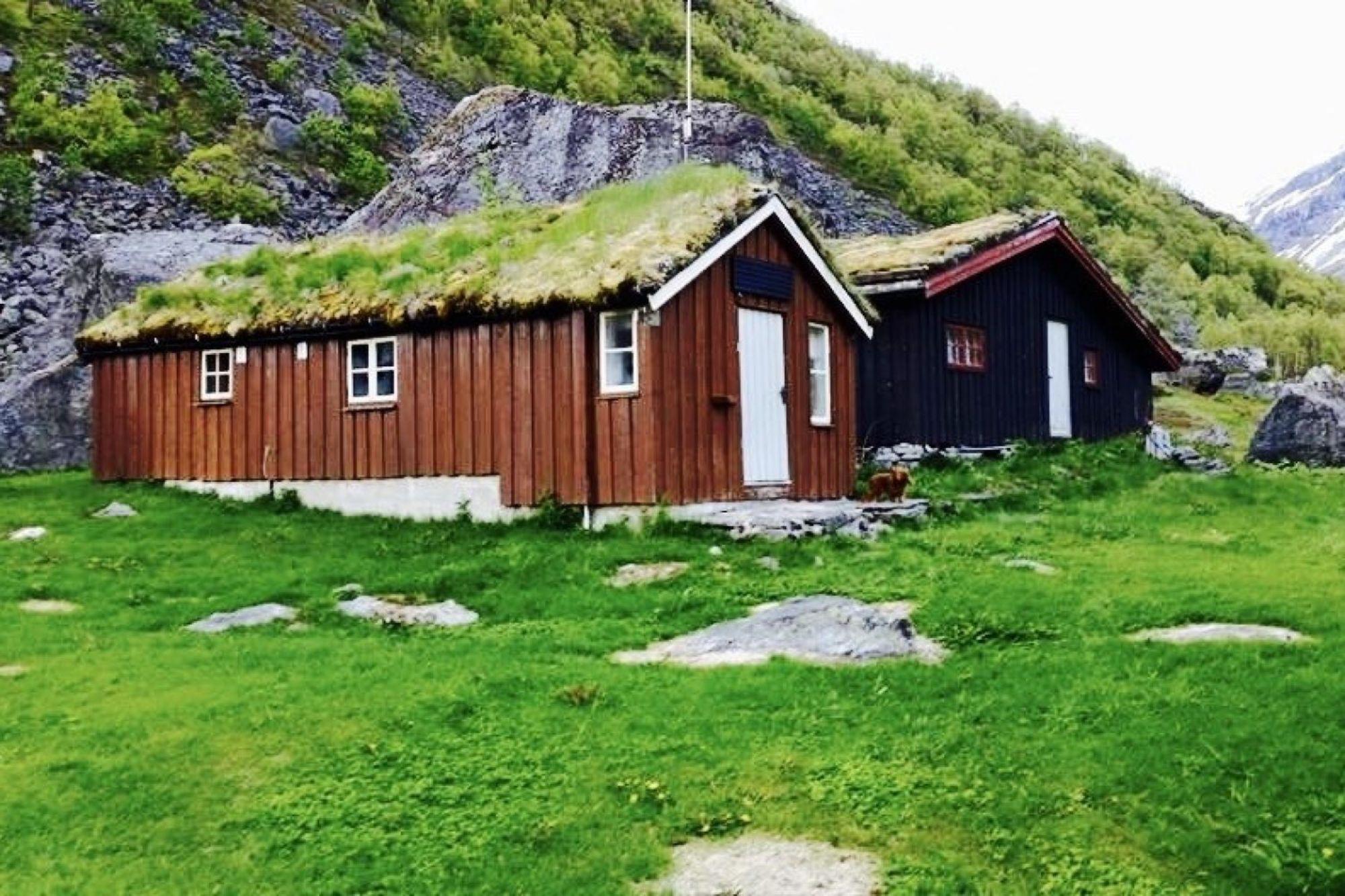
Head even further up the valley to Herdalssetra (pictured), a summer farm that lies 520 metres above sea level. Try traditional food at the farm café and say hello to the cute farm animals.
When you're back in Eidsdal, follow the road for about 18 kilometres to Ørnesvingen. This lookout point marks the start of another winding mountain road with eleven hairpin turns, that will take you down a valley with views of the UNESCO-listed Geirangerfjord.
Feel free to stop and enjoy the view from the viewing platform, but note that there are limited parking spaces right by a sharp bend, so be cautious around other vehicles and moving traffic.
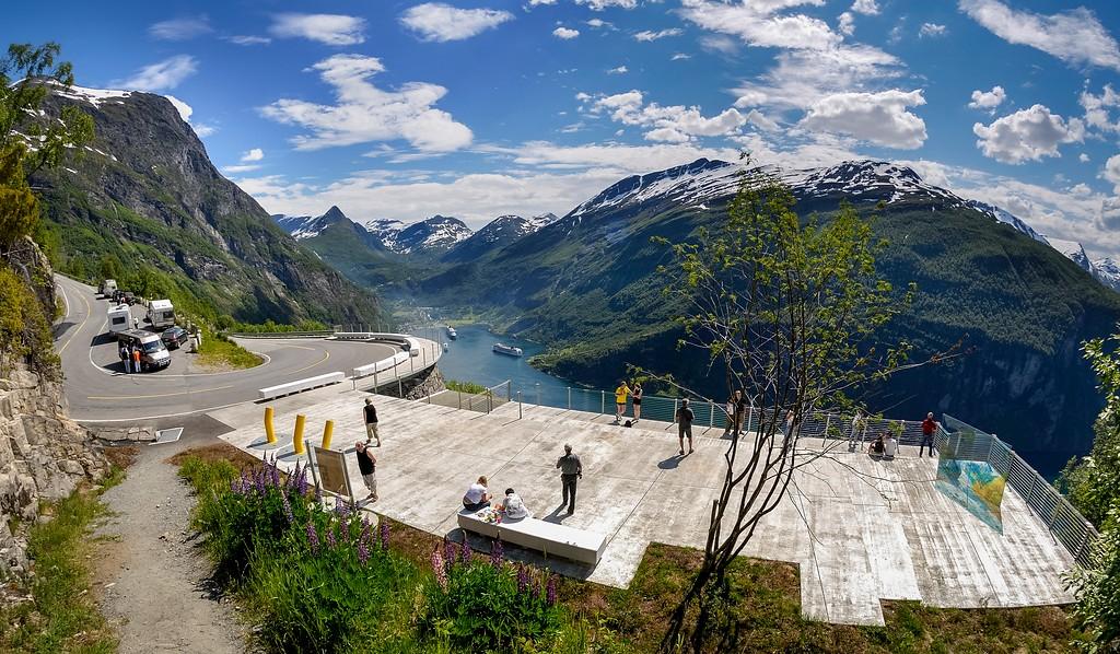
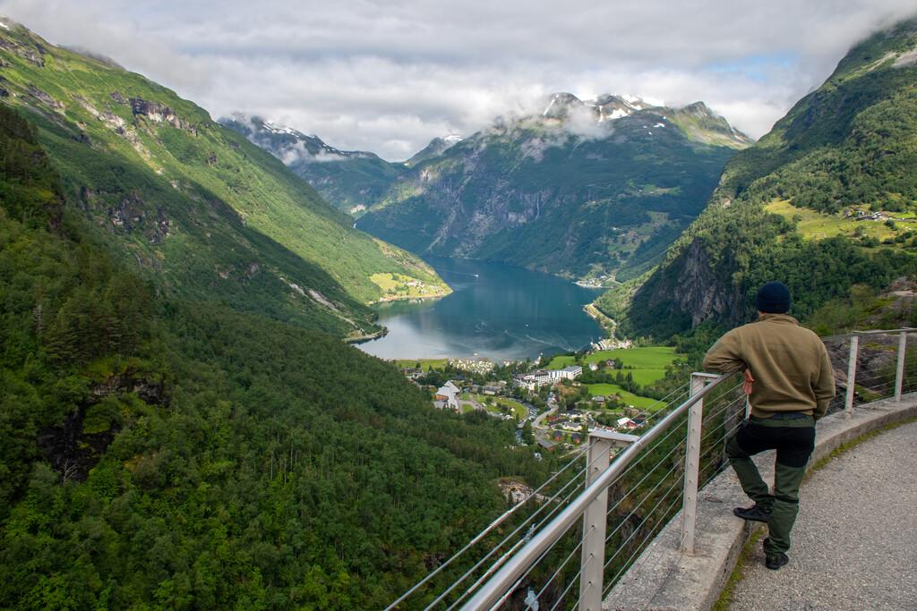
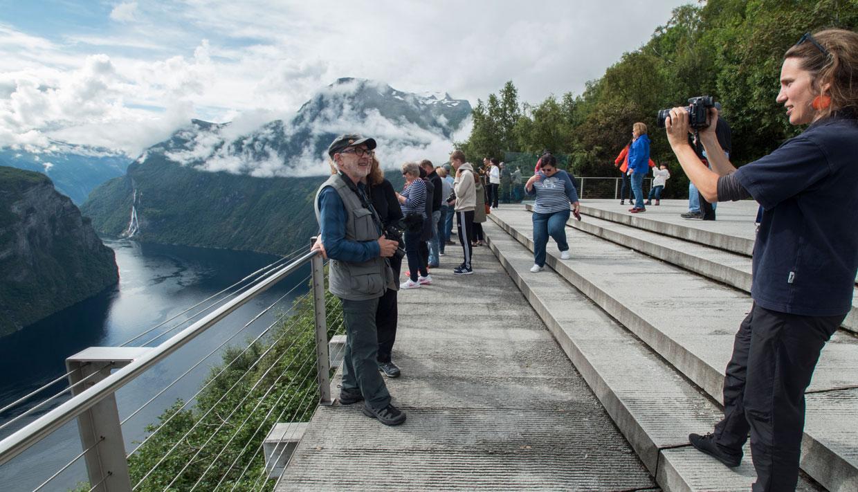
Drive carefully along the winding bends of Ørnevegen down to the well-known village of Geiranger. Explore down by the fjord, or drive four kilometres up another winding mountain road to Flydalsjuvet (pictured). This rest area and viewpoint is perfect for panoramic pictures of the beautiful Geirangerfjord.
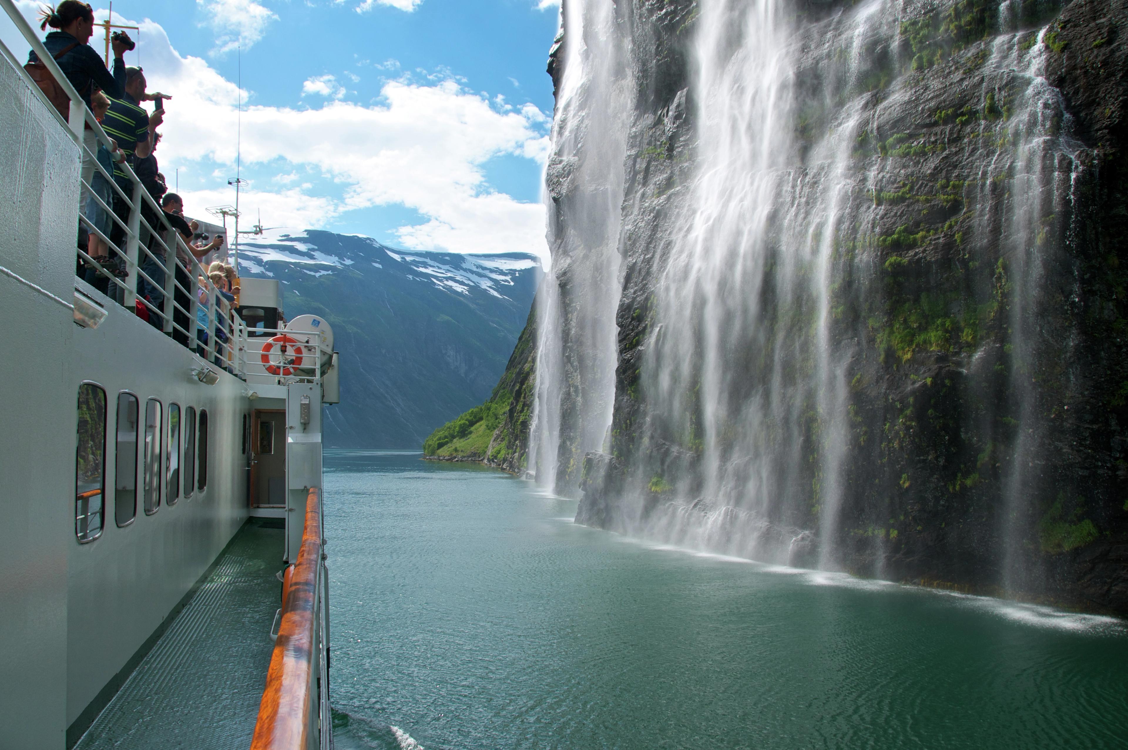
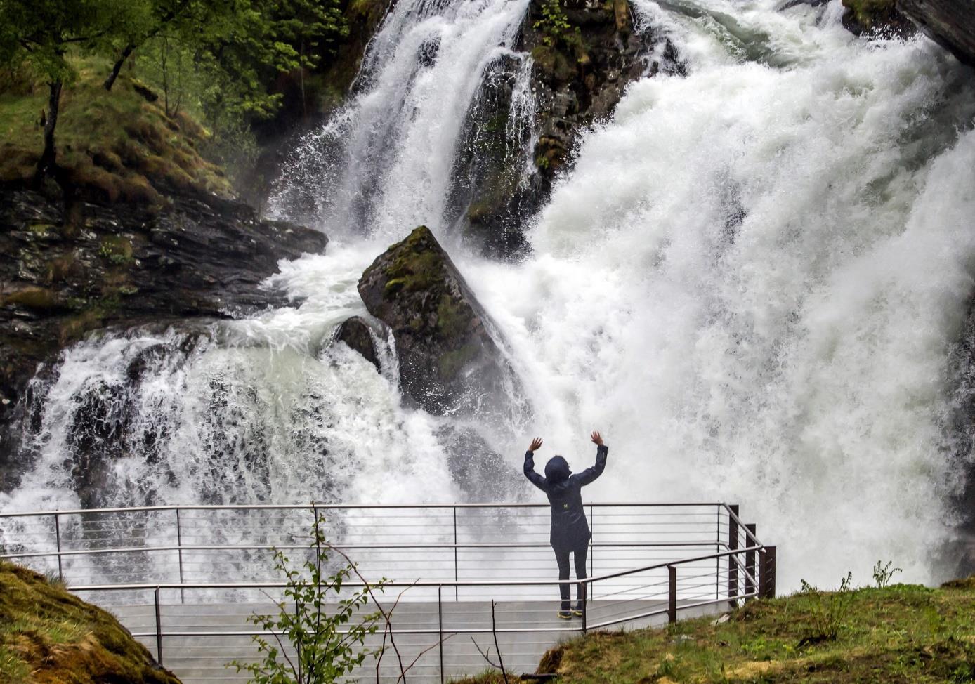
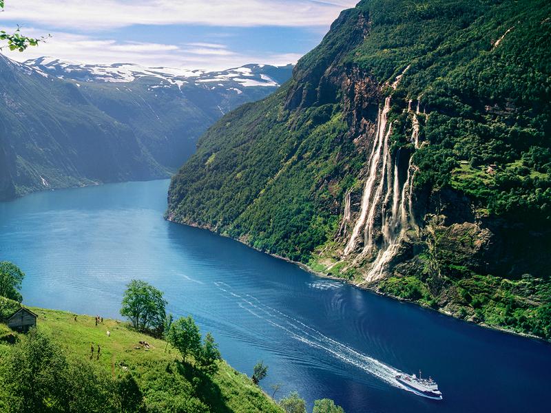
Geiranger is also a great place to stay for a few days. It's full of fantastic nature experiences. Enjoy hiking, kayaking, or fjord cruises that take you to majestic waterfalls like "The Bridal Veil" (pictured), "The Seven Sisters", and "The Suitor".
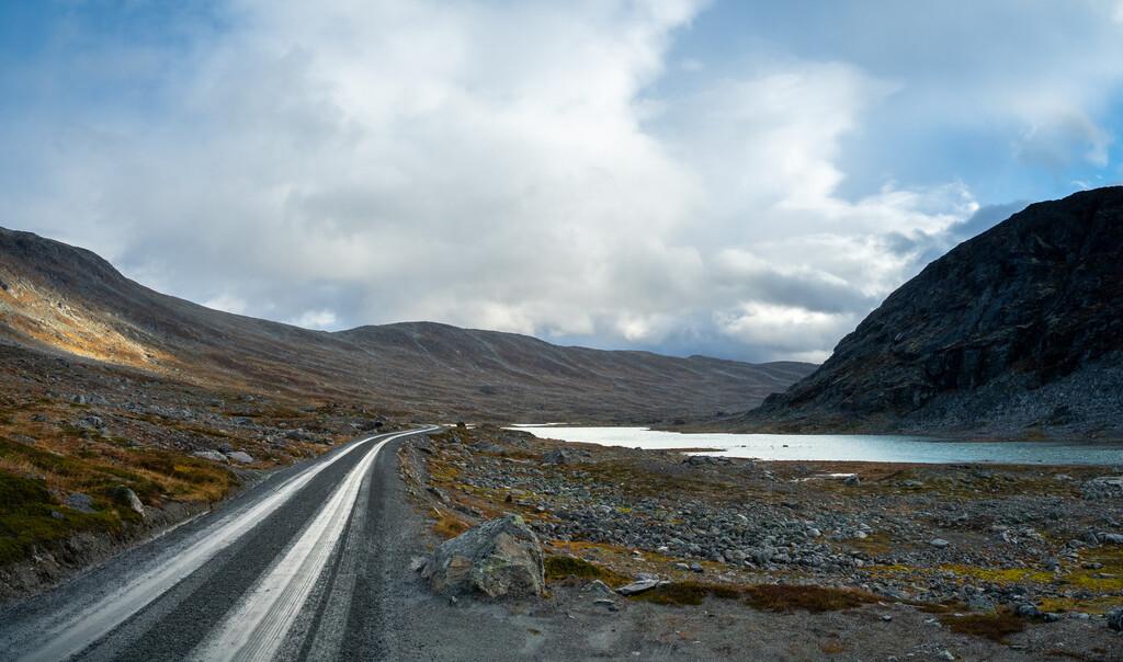
Carry on from Flydalsjuvet to Langvatnet for the last 20 kilometres of the scenic route. It will take you further into the mountains past several serene lakes and vast landscapes.
Take in all the scenery and if you're hungry for more, how about driving about 15 kilometres to either Øvstefoss or Grotli, where you can embark on a new scenic route called Gamle Strynefjellsvegen?
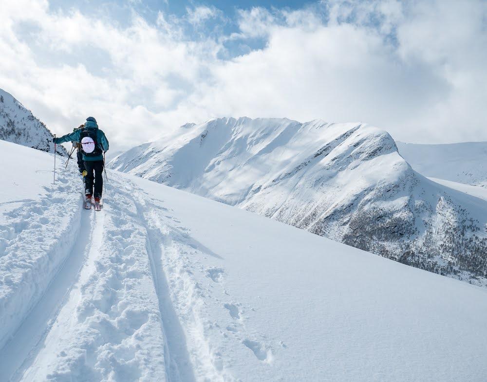
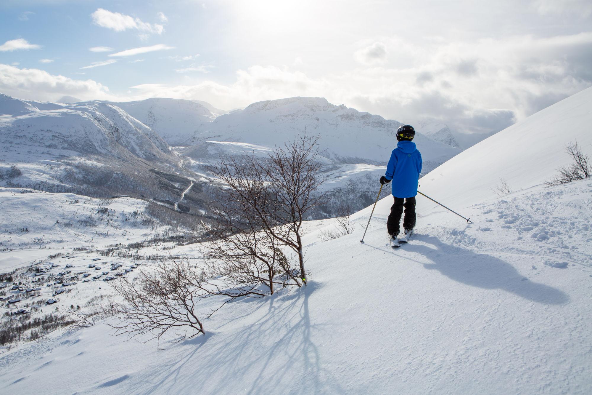
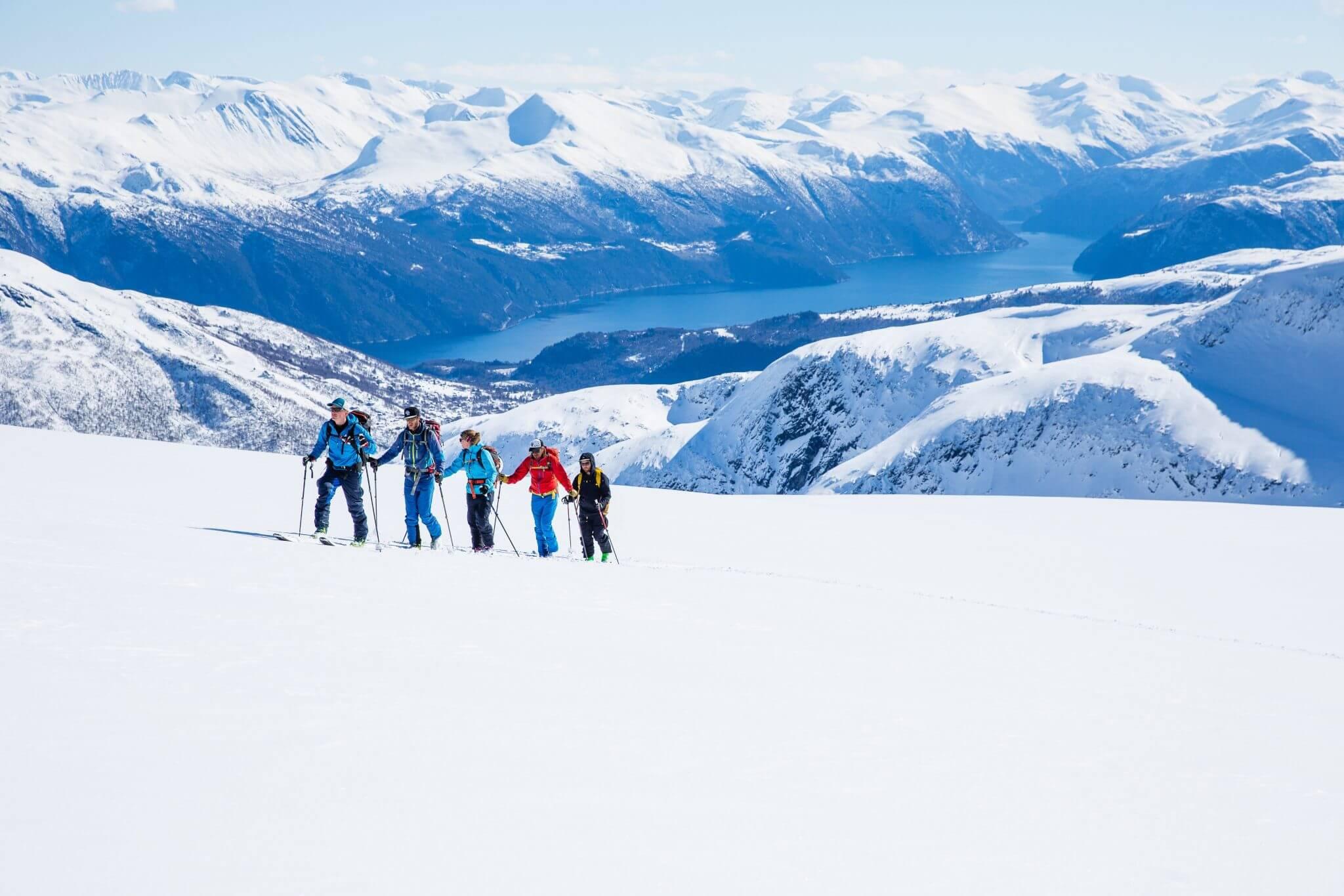
Fun activities!
Explore the beautiful Geiranger area one activity at a time!
 Tafjord
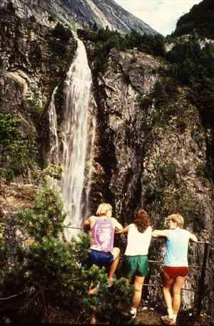
Muldal-Muldalsfossen
Muldalsfossen – The Muldal Falls is one of the highest waterfalls in the Kingdom, with its free fall of almost 200 metres. However, since the hydro-electric development at the end of the 1950's, the volume of water in the falls is considerably reduced.<br><br> The walk up to falls, which is situated between the tunnels to Tafjord, is on a good footpath that was made up at the close of the 19th century. The path snakes its way through 13 loops for about 2 kilometres up the steep mountain sides, which are also a nature reserve for the old indigenous forests. The walk should take you about an hour. <br><br> The landscape flattens out, and you will see two abandoned farms with large farmhouse and hay barns situated at the edge of the hanging valley of Muldal. To see the falls in a real panorama view, follow the footpath between the farmhouses and down a path on the other side to where you walked up. Here you will find a viewpoint with guardrails, constructed in around 1890.<br><br> Muldal is a good starting point for walks into the mountains on well-marked footpaths.
 Geiranger
Vinsåshornet
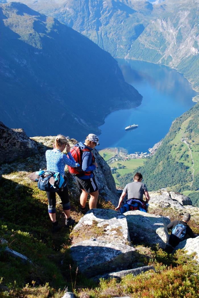
Hole Hytteutleige - Grinddalssætra - Vinsåshornet - Grinddalssætra- Hole Hytteutleige The walks gives a superb panorama view of the Geirangerfjord. Route description: Our walk takes off from Hole Hytteutleige in the upper part part of the Geiranger community. Parking space may be scarce, please ask the cabin staff for advice. You head off on the gravel road toward Vesterås, but turn to the right on a tractor road just after passing the cabin cluster at Hole. The road branches off at a gate, and you turn right. Follow the gravel road. After a few turns a sign points left to Holebakk. If you pick this route you can also see the Holebakk farm and a memorial plaque from the snow slide in 1907, which took 10 lives. Count on 45 minutes on the gravel road before you get to a very good trail. A few vantage points have steep cliffs facing the river from Vesteråsdalen. The walk to Grinddalssætra will take another 45 minutes, and from the steep hillsides in Geiranger you now come to an idyllic, flat mountain valley! So far a fine trip for families with children. At the dairy farm site a signpost shows names and altitudes of nearby summits. Here you may take off towards Vinsåshornet, the distinct summit south of the head of the valley end. You follow the path uphill from the summer farm. Cross the river on a solid bridge after ca. 500 meters. Marked tour route diagonally up the valley towards low point of the ridge leads to Vinsåshornet. Along the route you may see remnants of "bogestøer" (archers`hides) and reindeer traps. From the pass you follow the ridge northwest towards the summit itself (1343 m.a.s.l). Here is a panorama view of the Geirangerfjord! A more demanding summit route runs at the front of Vinsåshornet. It is marked as well, but the trail is not always too distinct. Rock climbing part of the way. This route calls for experienced people! (Source: Opptur Geirangerfjorden)


Nice to know before you go
As mentioned above, take your time on the challenging, winding mountain roads, and keep an eye out for lay-bys so you can let oncoming traffic pass on narrow sections.
The section of the route between Korsmyra and Indreeide is prone to landslides, so there's a year-round tunnel here. This is also one of many stretches that can be closed off during the winter months. Other parts that can be affected by winter weather are Trollstigen, Grønningsbrua and Langvatnet to Geiranger. Parts of the route can also be closed at night or during bad weather.
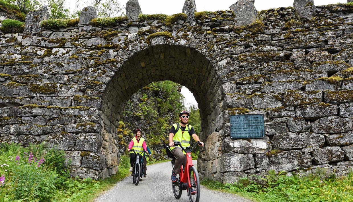
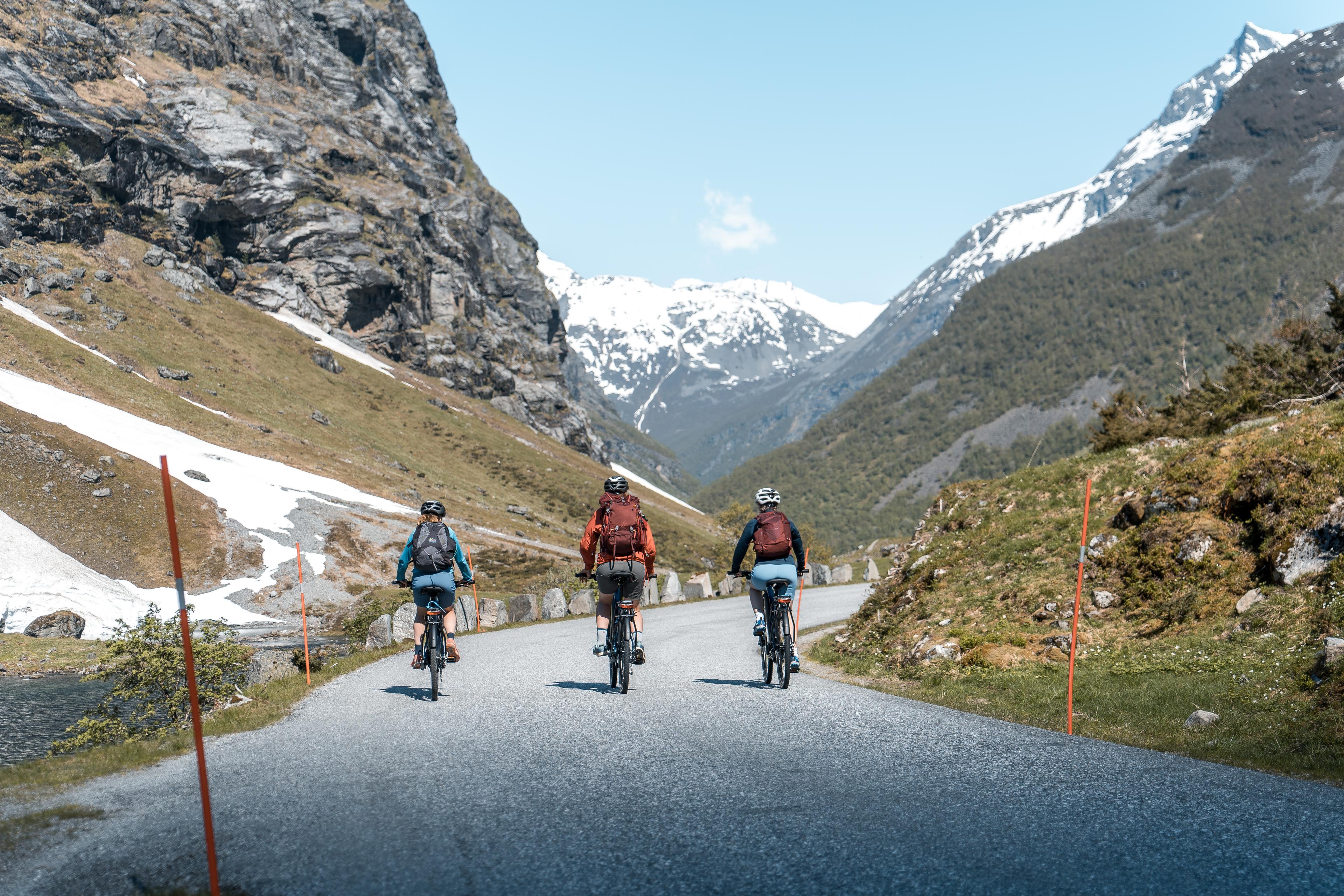
Information for cyclists: Be aware that this is a demanding mountain ride where you'll encounter long and steep climbs and descents. For the easiest ride, start at Grotli. During the summer there's a lot of traffic along this route, so it's best to go in early June or September.
Source: Norwegian Scenic Routes
Discover more


Norwegian Scenic Routes
Explore the most beautiful drives in Norway! Find out what to experience along the routes, including lesser-known gems, accommodation, and wonderful detours.

Get the best deals on transport
Travel comfortably around Norway with our partners.
 7 Hours ・ April - SeptemberBook now
Preikestolen express bus
Roundtrip from Stavanger to an iconic trailOne of the most popular hikes in Norway. Our bus provides easy and comfortable round trip transport from Stavanger. Be aware that this hike is unguided, however, the trail is well marked with distance markers. Relax and enjoy the view. / Go FjordsPrice From 389 NOK 11 Hours ・ June - SeptemberBook now
Kjerag express bus tour
Our bus offers easy access to KjeragHike to the Kjerag boulder and explore the sight that attracts thrill seekers from all over the world. Our express bus brings you directly from Stavanger to the start of the hiking trail and back. / Go FjordsPrice From 880 NOK All yearBook now
Norway’s camper van rental
Norway’s camper van rentalDo you want to try van life? Explore Norway in comfort and style with our smart and cosy campervans. / Arctic Campers ASPrice From 1 390 NOK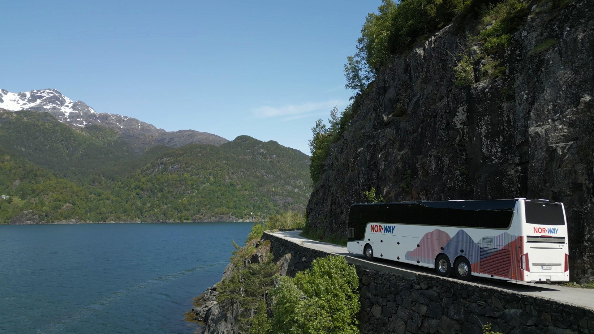 All yearBook now
NOR-WAY Bussekspress
Norway's most comfortable bus journeysEnjoy scenic views on comfortable bus trips to the fjords and from city to city with our express coaches. / NOR-WAY BussekspressPrice From 99 NOK All yearBook now
Auto Europe - car rental
The perfect vehicle for your tripAlways a smooth car rental experience. Search and compare rental rates. Free cancellation up to 24 hours prior to pick-up. Great prices and service since 1954. / Auto EuropePrice From 800 NOK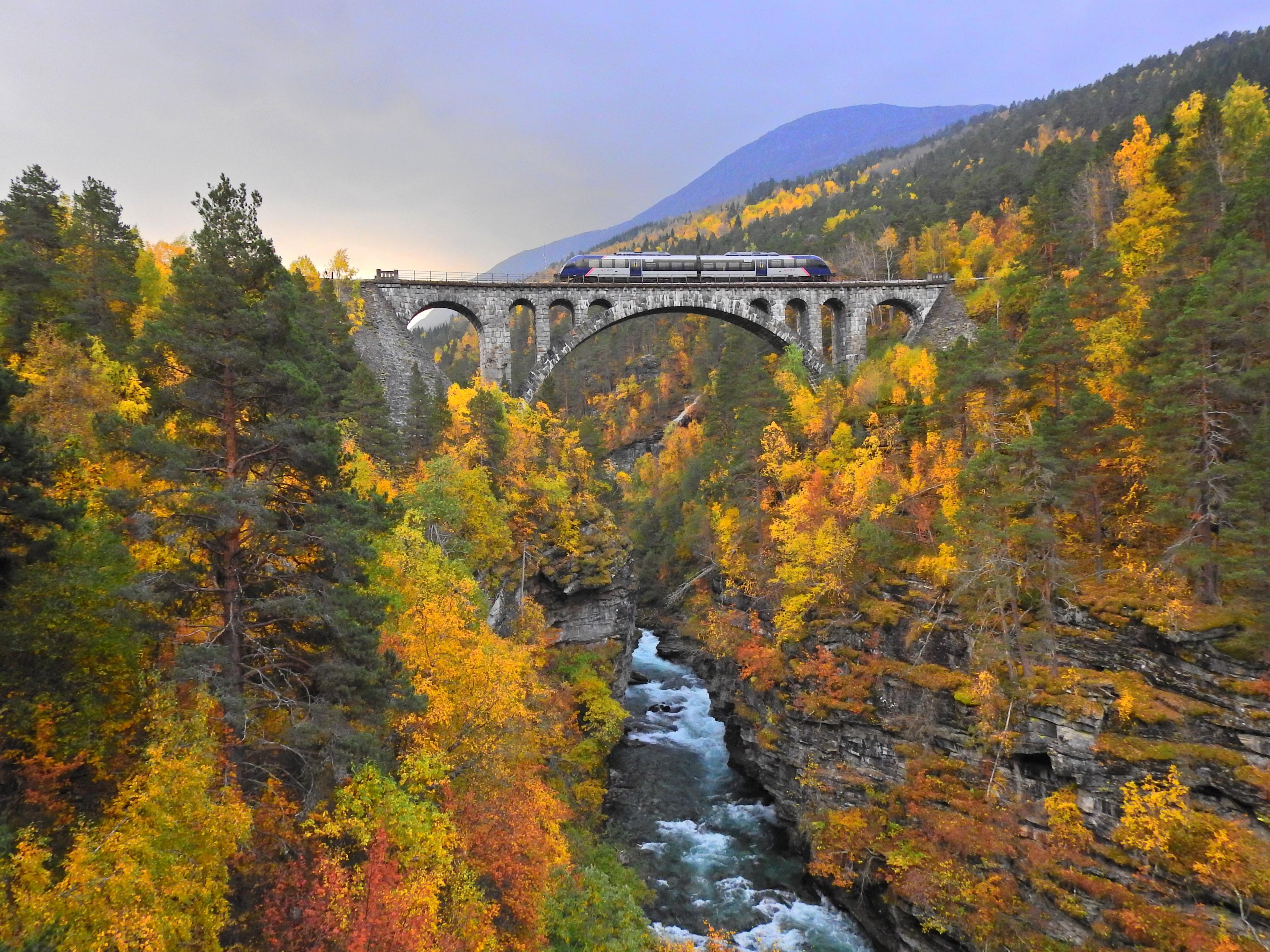 All yearBook now
Train journeys with SJ Nord
Norway's most beautiful train journeysThe adventure starts on the train / SJ NordPrice From 199 NOK All yearBook now
Norwegian - cheap flights
We'll fly you wherever you want to goNorwegian offers cheap flights in Norway and direct flights from more than 70 European airports. Book flights through our low fare calendar to your destinations. / NorwegianPrice From 549 NOK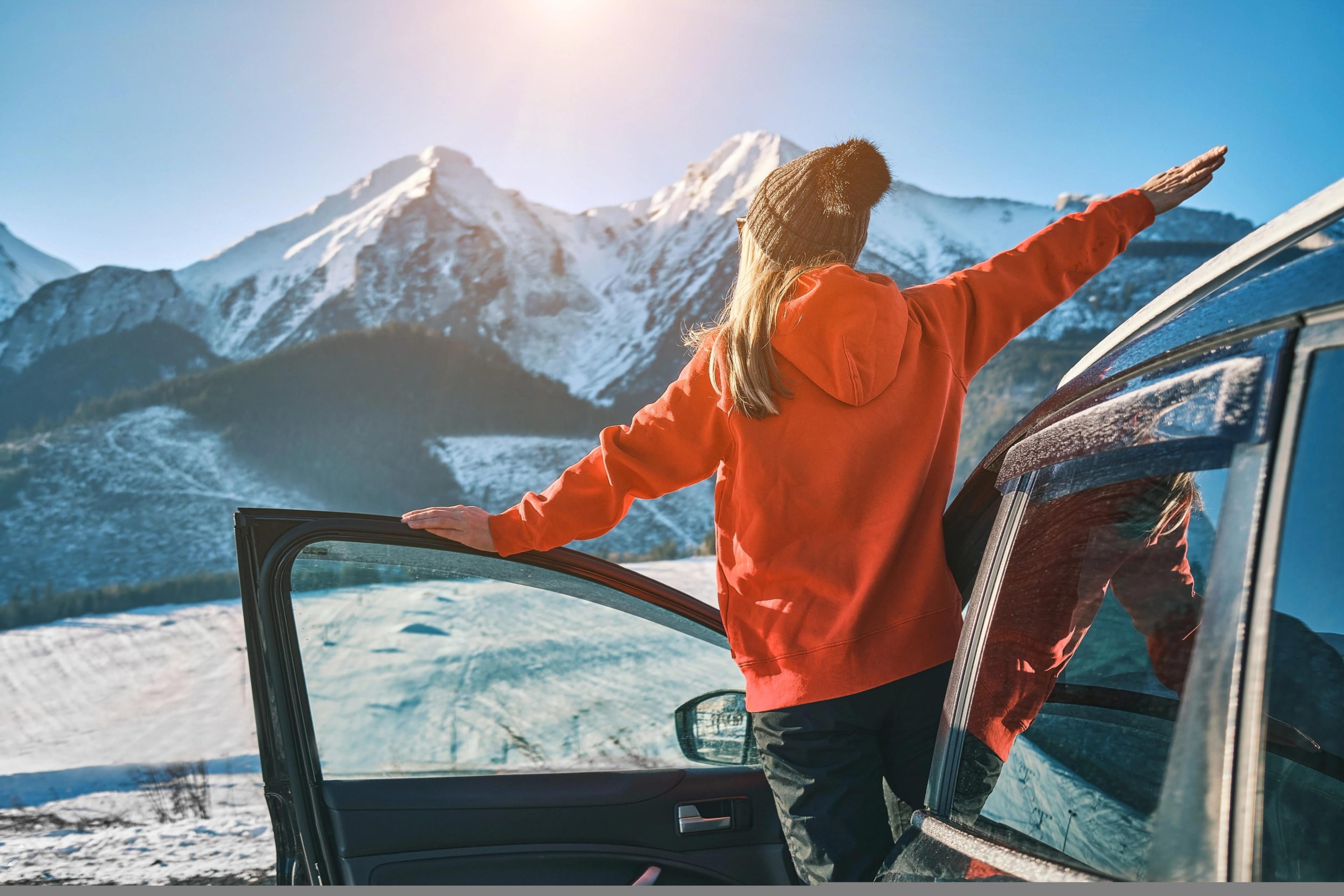 All yearBook now
Rent-A-Wreck - car rental
The smart and affordable car rental alternative.Excellent service at reasonable rates. / Rent-A-Wreck of Scandinavia ASPrice From 790 NOK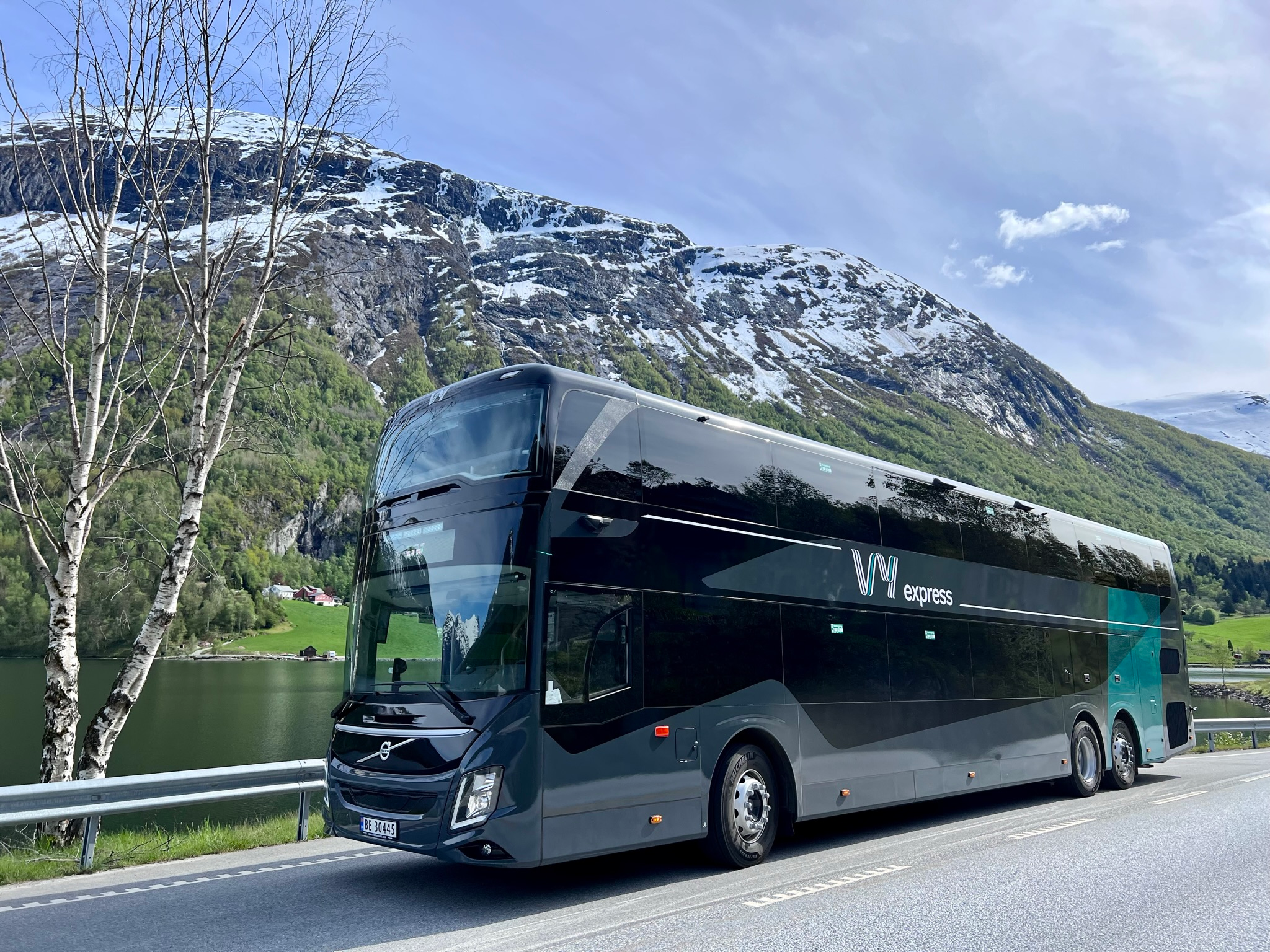 All yearBook now
Travel in comfort with Vy Bus
Travel with bus throughout NorwayDiscover Norway on comfortable express coaches that take you between major cities, mountains, and fjords. / Vy expressPrice From 79 NOK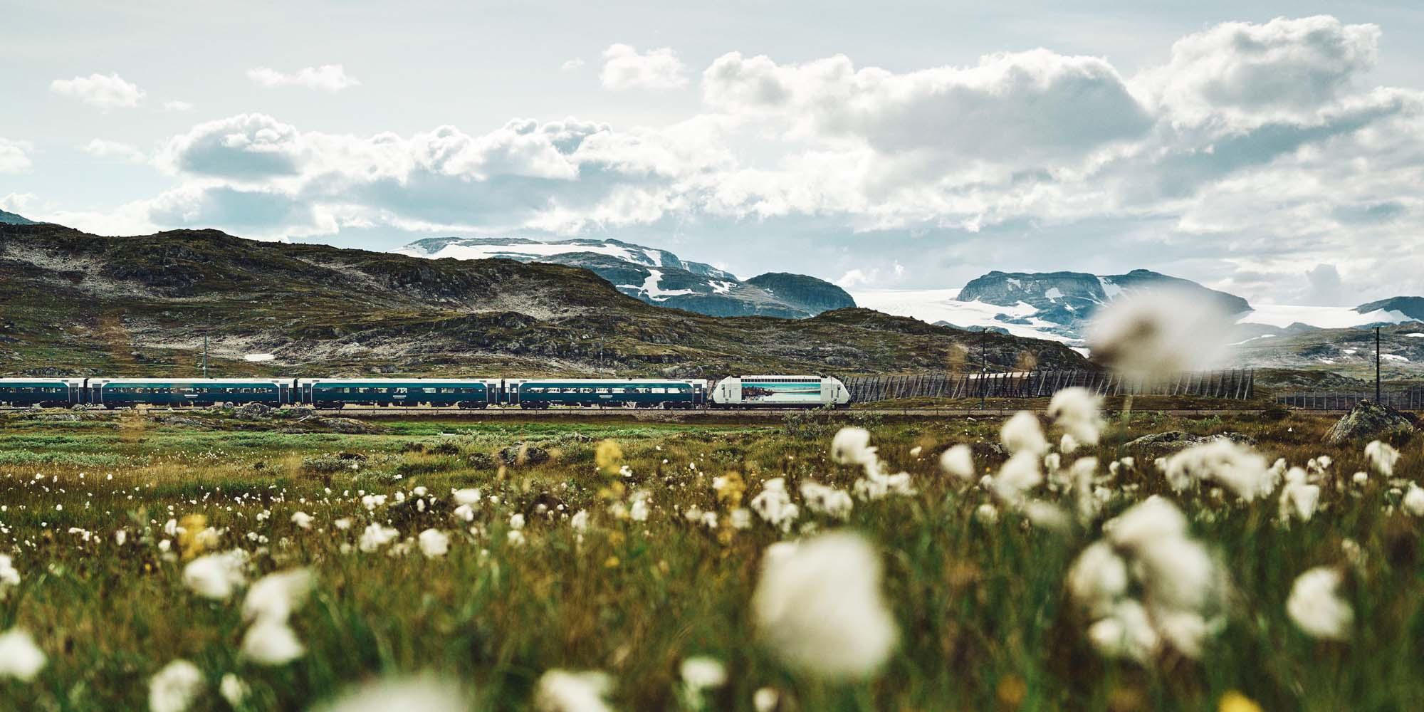 All yearBook now
Traveling by train with Vy
See Norway from the train!Travelling by train has never been easier. Glide through beautiful scenery on a train between Oslo and Bergen on the Bergen Railway and explore the greater Oslo region. / Vy TrainPrice From 44 NOK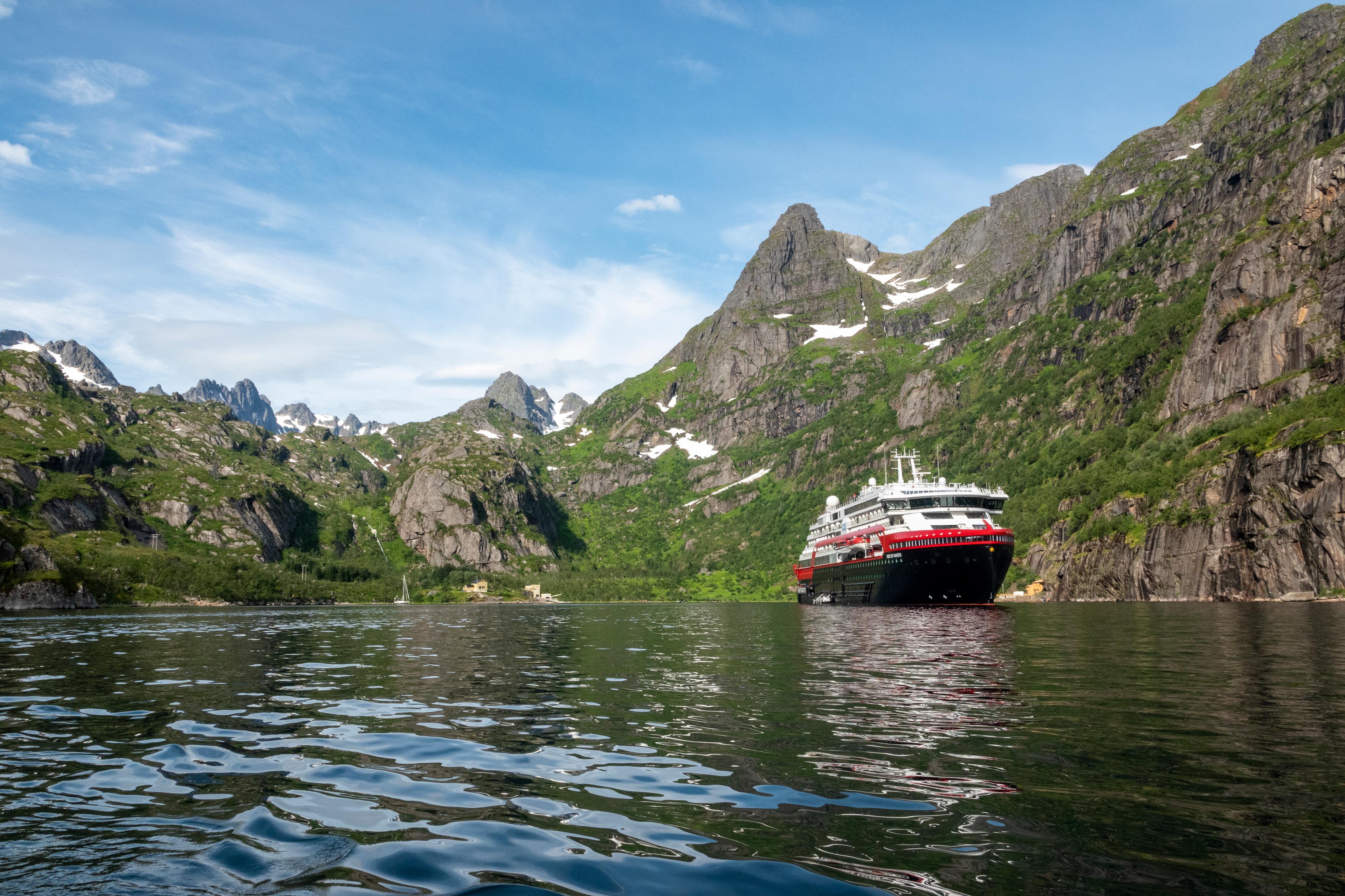 All yearBook now
Cruise with Hurtigruten
The world’s most beautiful sea voyageAre you ready for a once-in-a-lifetime journey along one of the world’s most beautiful coastlines? With Hurtigruten, you can explore everything the Norwegian coast has to offer – from fjords and iconic towns to northern lights and the midnight sun. / HurtigrutenPrice From 1 551 NOK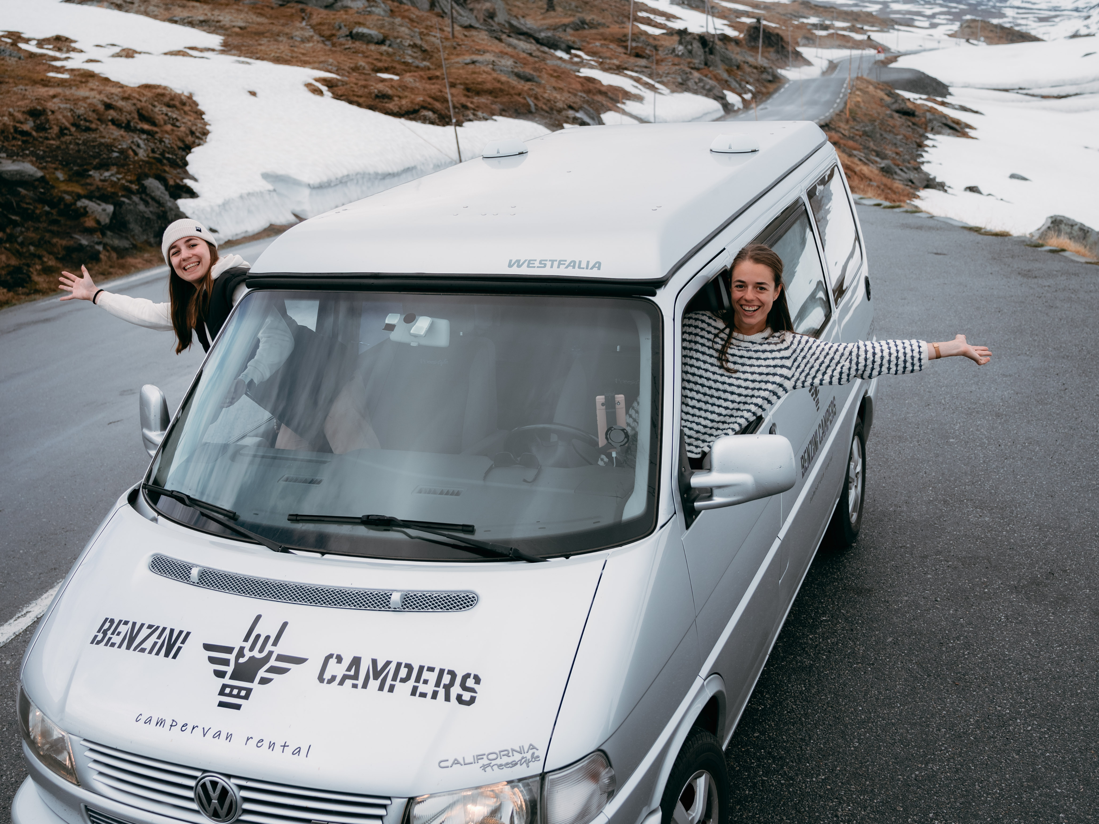 All yearBook now
Benzini Campers
Campervan rental in NorwayDiscover the beauty of Norway with our top-rated campervan rental service. Located in Sandefjord near Torp Airport and Oslo City. Enjoy unlimited mileage as you explore Norway's nature and cities. / Benzini CampersPrice From 1 290 NOK