This Norwegian Scenic Route takes you between the fjord village of Aurlandsvangen and the historic Lærdalsøyri by the Sognefjord in Western Norway.
Norwegian Scenic Route Aurlandsfjellet
A journey above the fjords
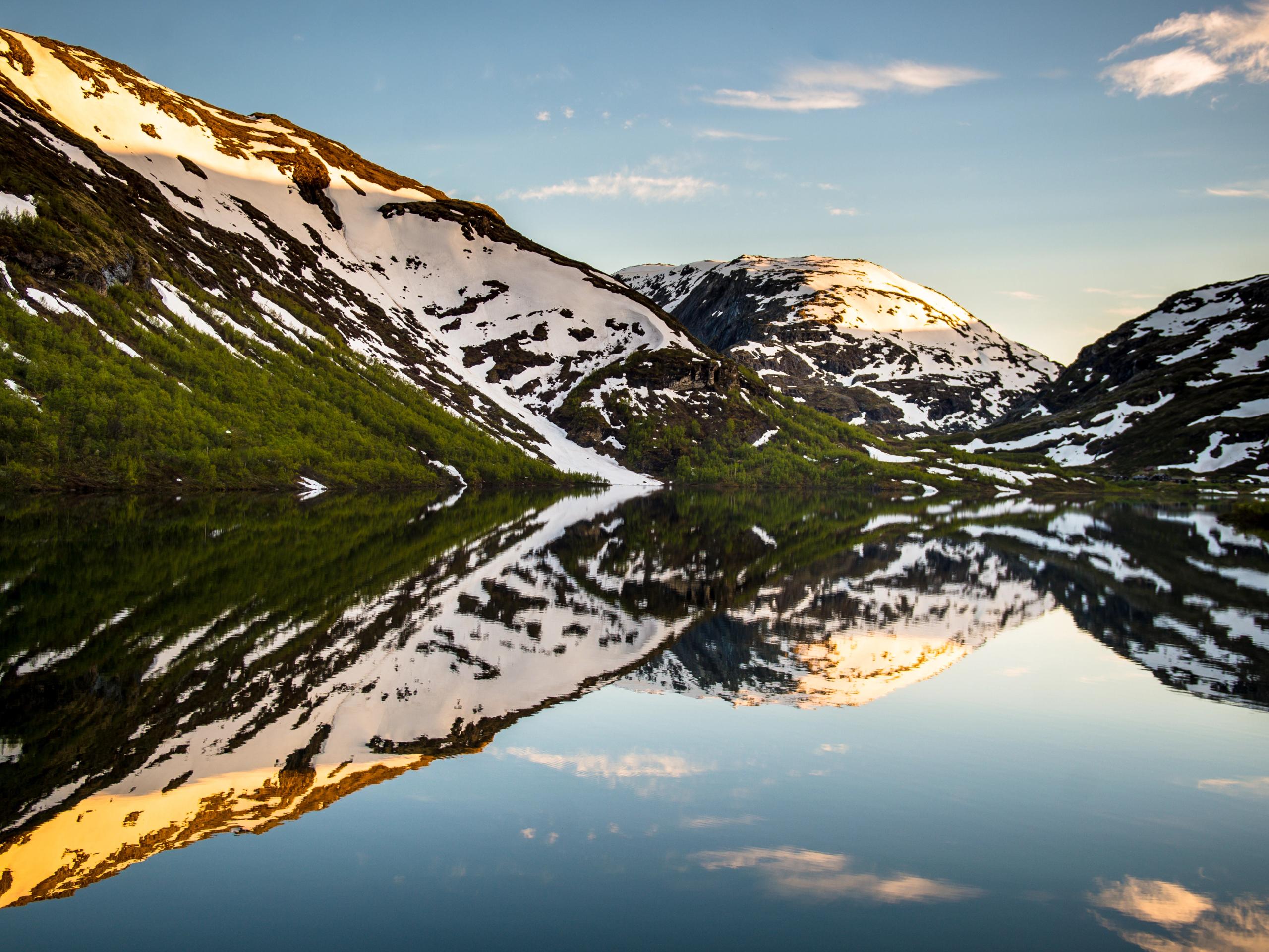
Haven't had a view of snow-capped mountains yet?
You may still have a chance…
…after all, we don’t call it the 'Snow Road' for nothing.
A drive over the Aurlandsfjellet Ridge
Embark on a journey across the 'Snow Road,' a route that takes you from the lush fjords to a high-mountain plateau of ice and rock. The Norwegian Scenic Route Aurlandsfjellet spans 47 kilometres between Aurlandsvangen and Lærdalsøyri, offering dramatic contrasts between the deep blue Aurlandsfjord and the lunar-like landscape at the summit.
If you are driving from Bergen, getting to Aurland takes about 2.5 to 3 hours. From Oslo, it typically takes about 5 hours.
Keep in mind that this route is often closed in winter due to heavy snow, usually opening in June.
While the world-famous Lærdal Tunnel runs inside the mountain directly below, the scenic route takes you over it. Prepare for steep inclines and sharp hairpin turns that demand your full attention and a steady hand on the wheel
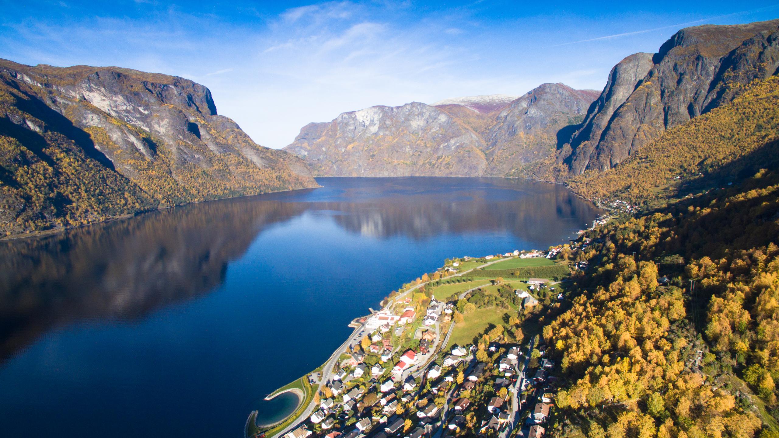

If you start from Bergen in the west, the route begins at fjord level in Aurlandsvangen, a cosy fjord village that embraces slow travel!
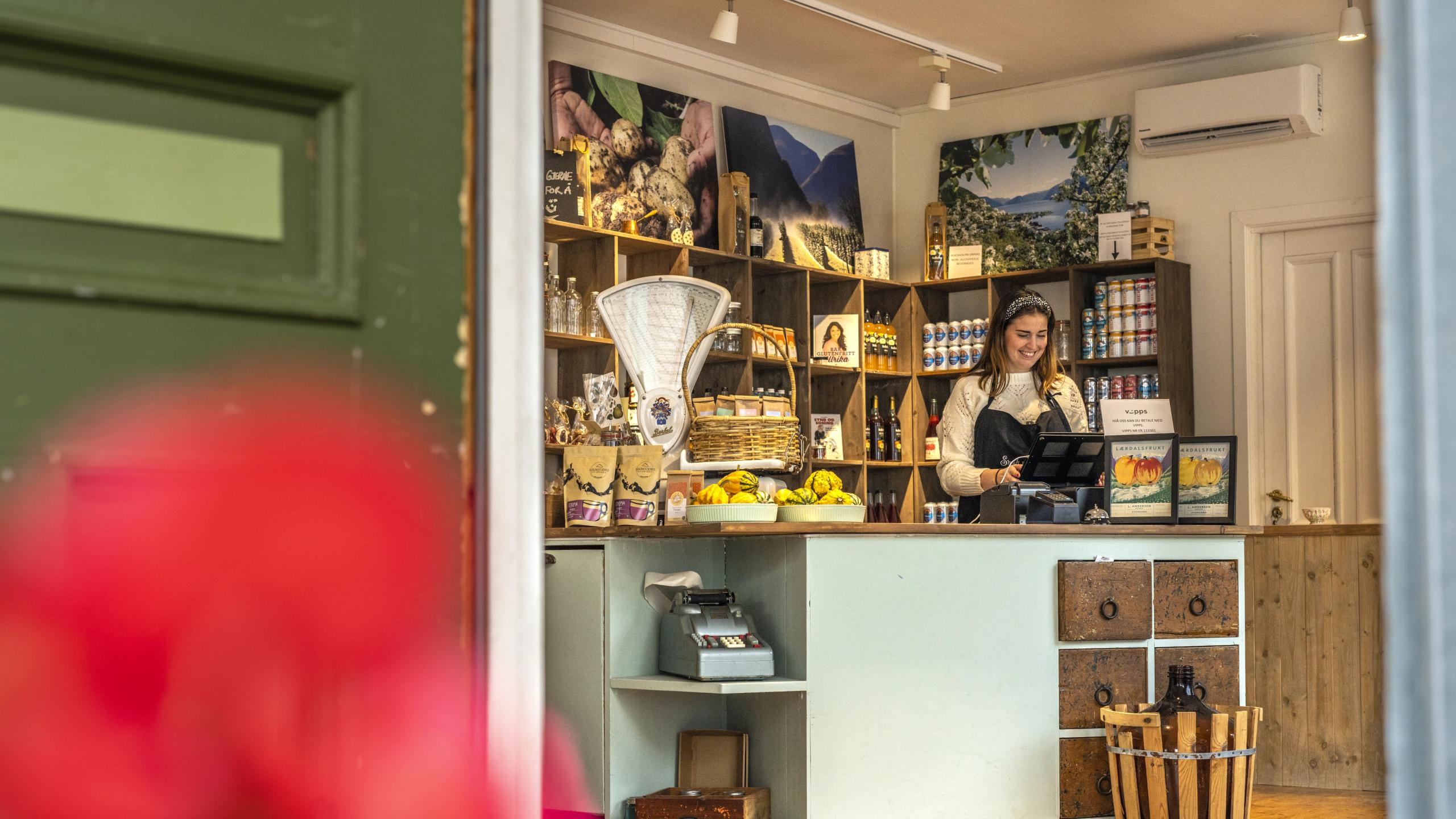
Stop by the Économusée to see how the original 'penny loafer' is still handmade by skilled artisans, visit the local glass blower, or learn more about Norwegian traditions and herd sheep on a guided tour with Culture on a plate
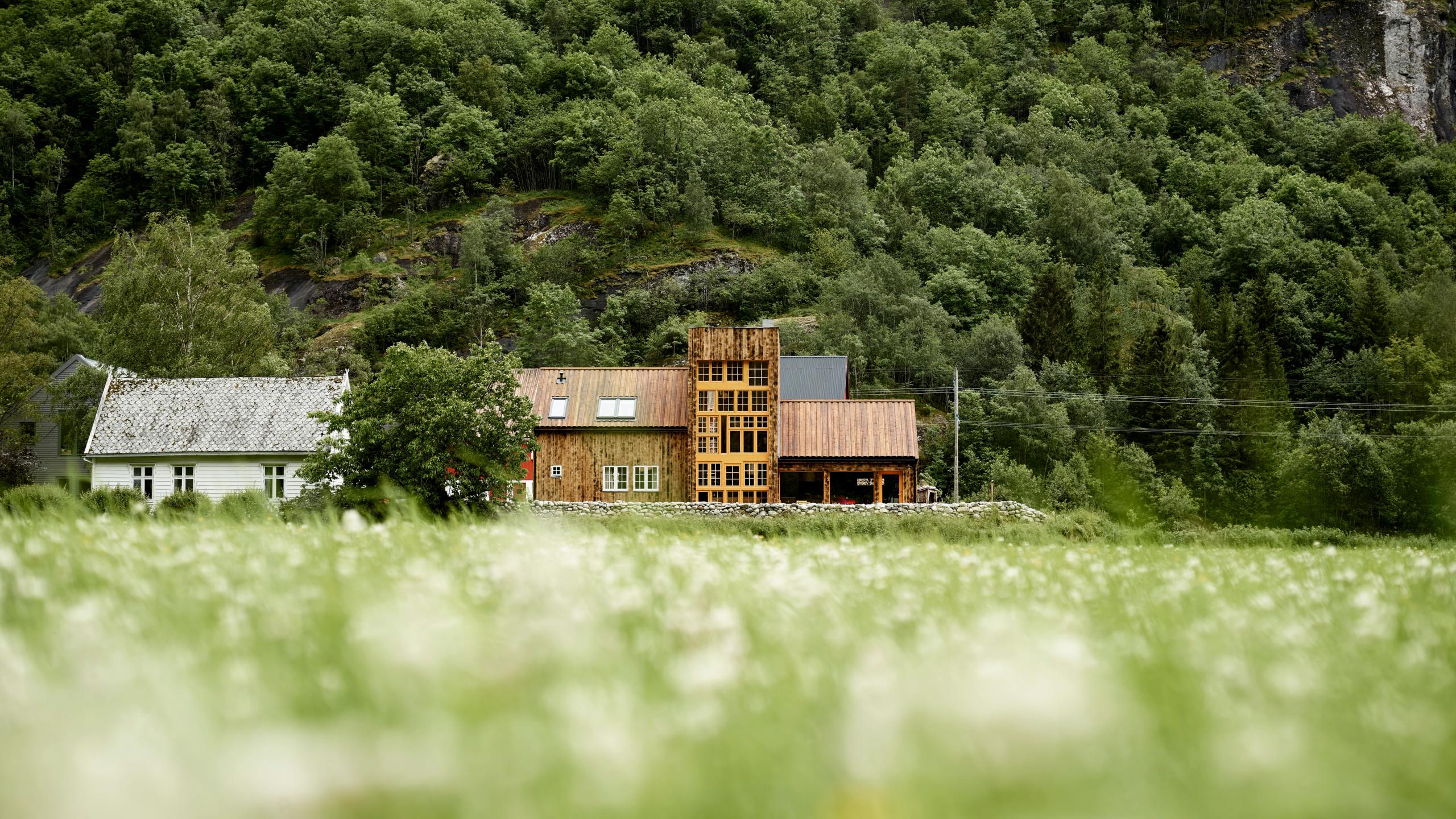
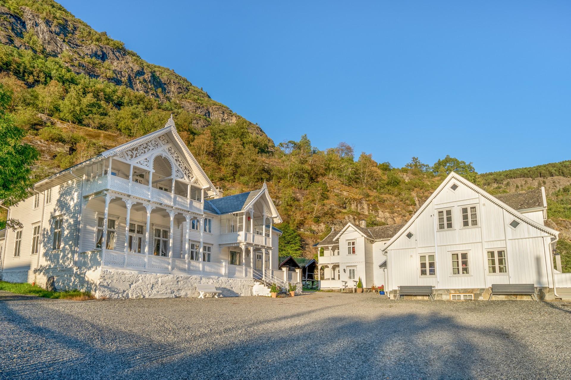
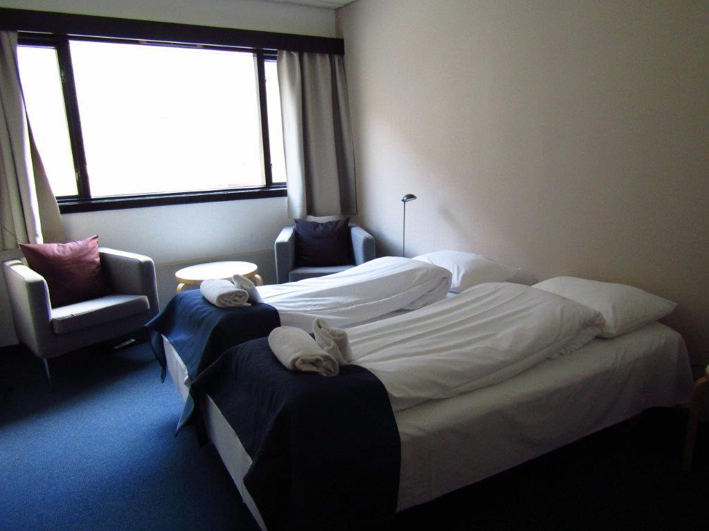
Ready to indulge? Spend the night at 29|2 Aurland, a boutique farm hotel where restored 18th-century buildings and high-end comfort make it hard to ever want to leave.
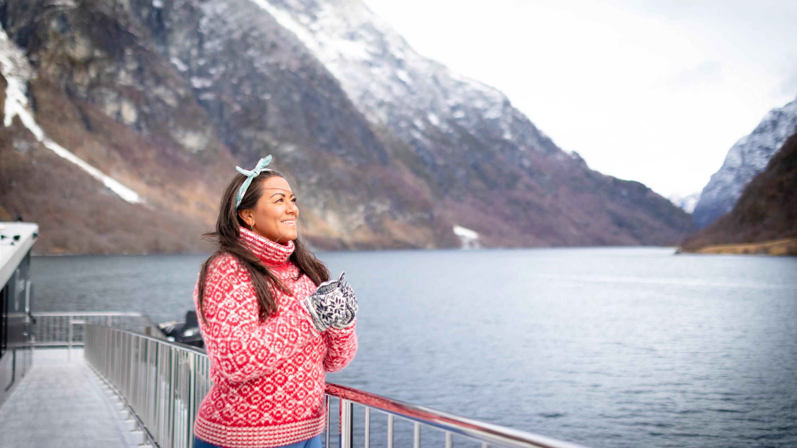
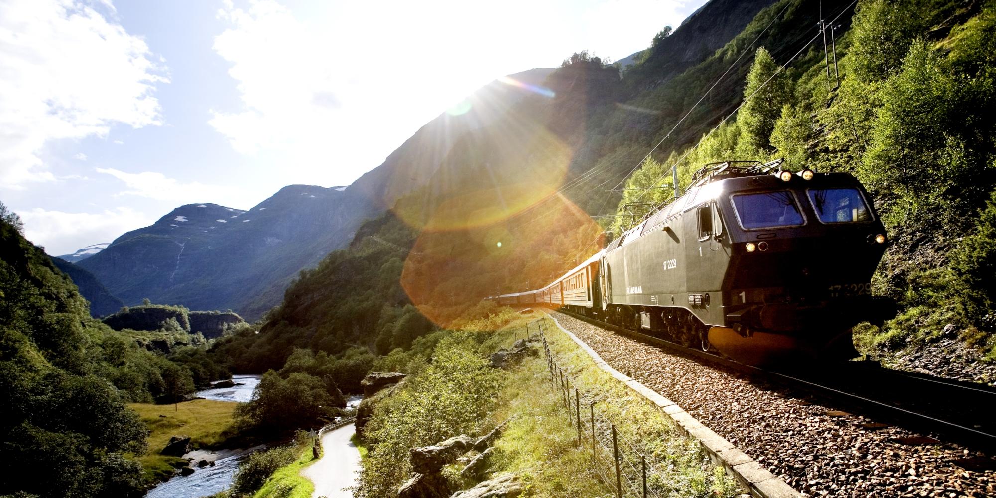
In Aurland, you´re also very close to the village of Flåm, where you can cruise the UNESCO-listed Nærøyfjord and the Aurlandsfjord, and take a trip aboard the world-famous Flåmsbana Railway.
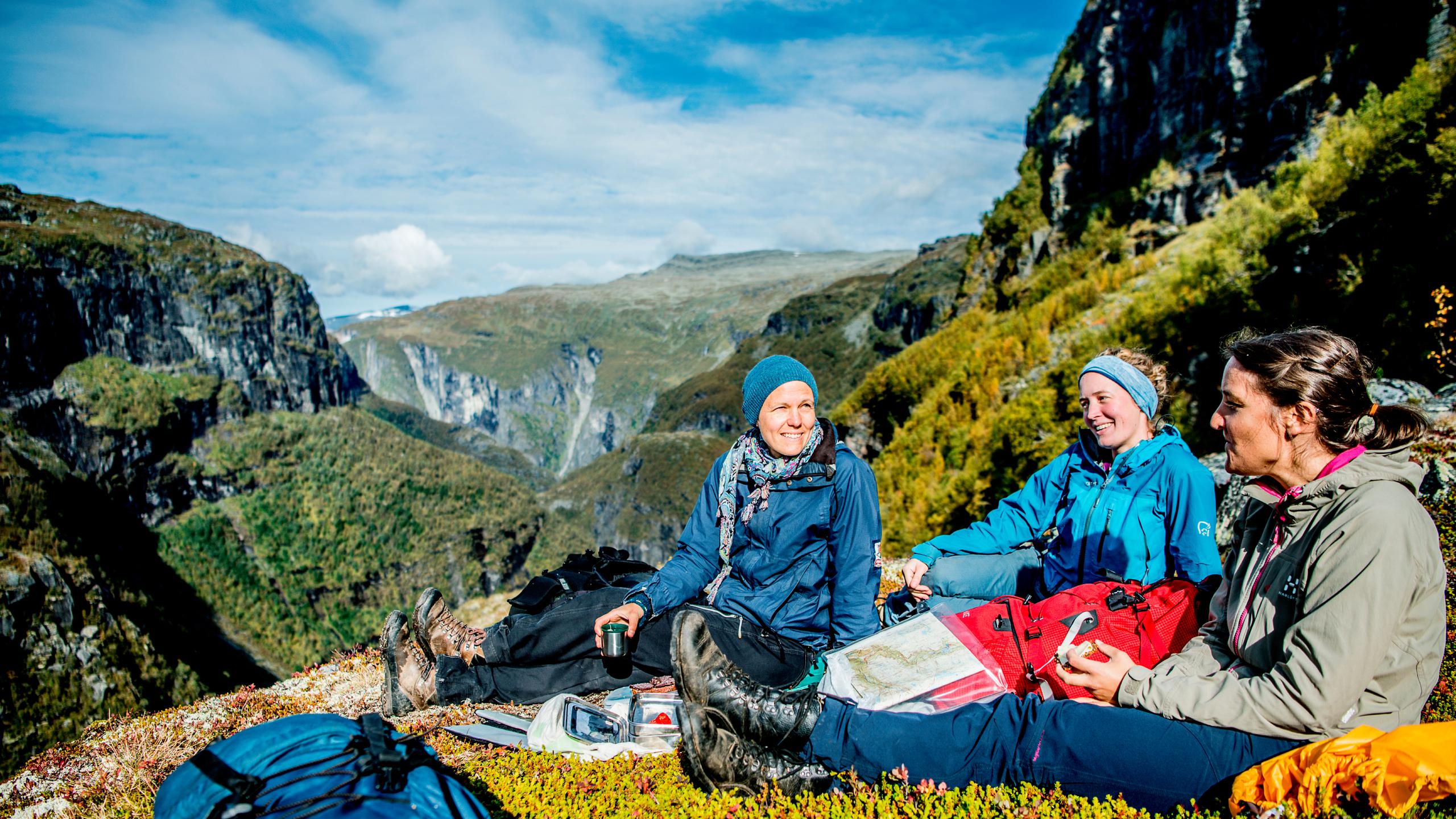
Aurlandsvangen is also the end point for one of Norway's top hikes, through the Aurlandsdalen valley.
Things to see in Aurland
Discover the best of the Aurlandsfjord




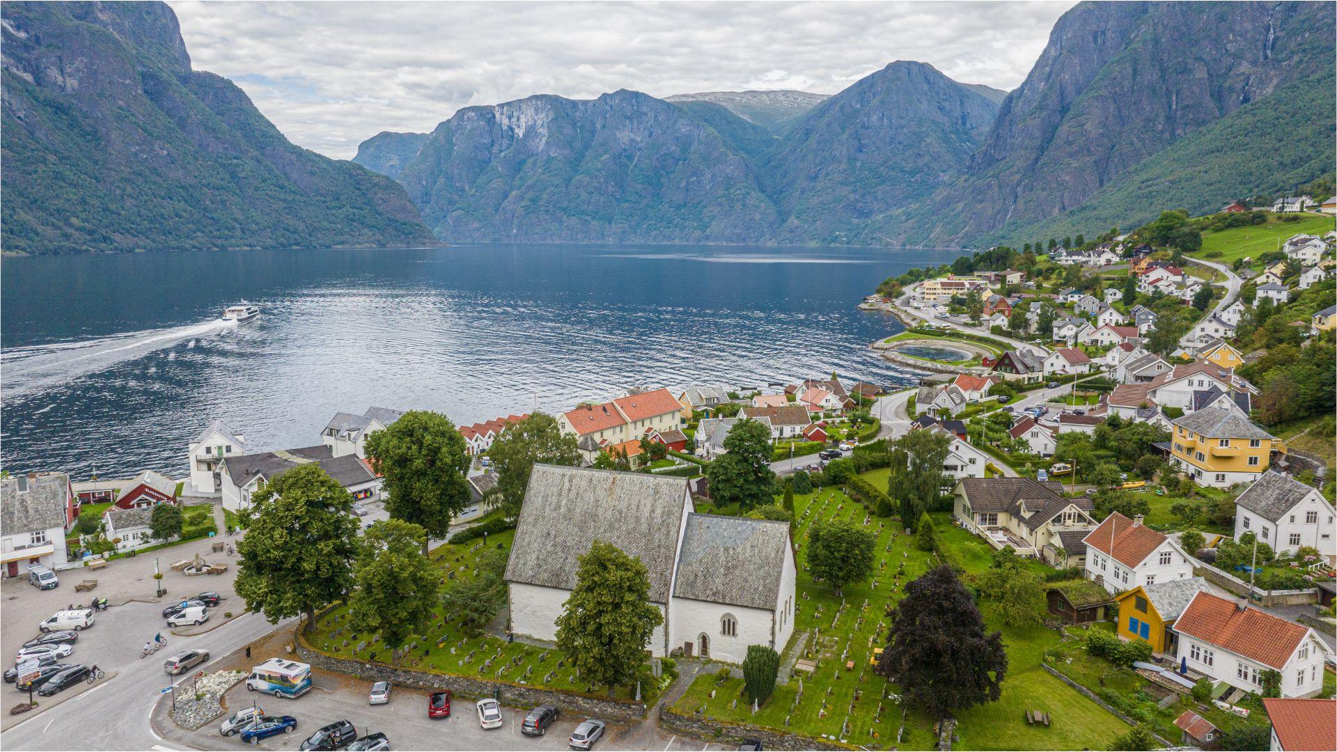

Where to stay
Find a place in Aurlandsvangen that suits you and your travel plans.
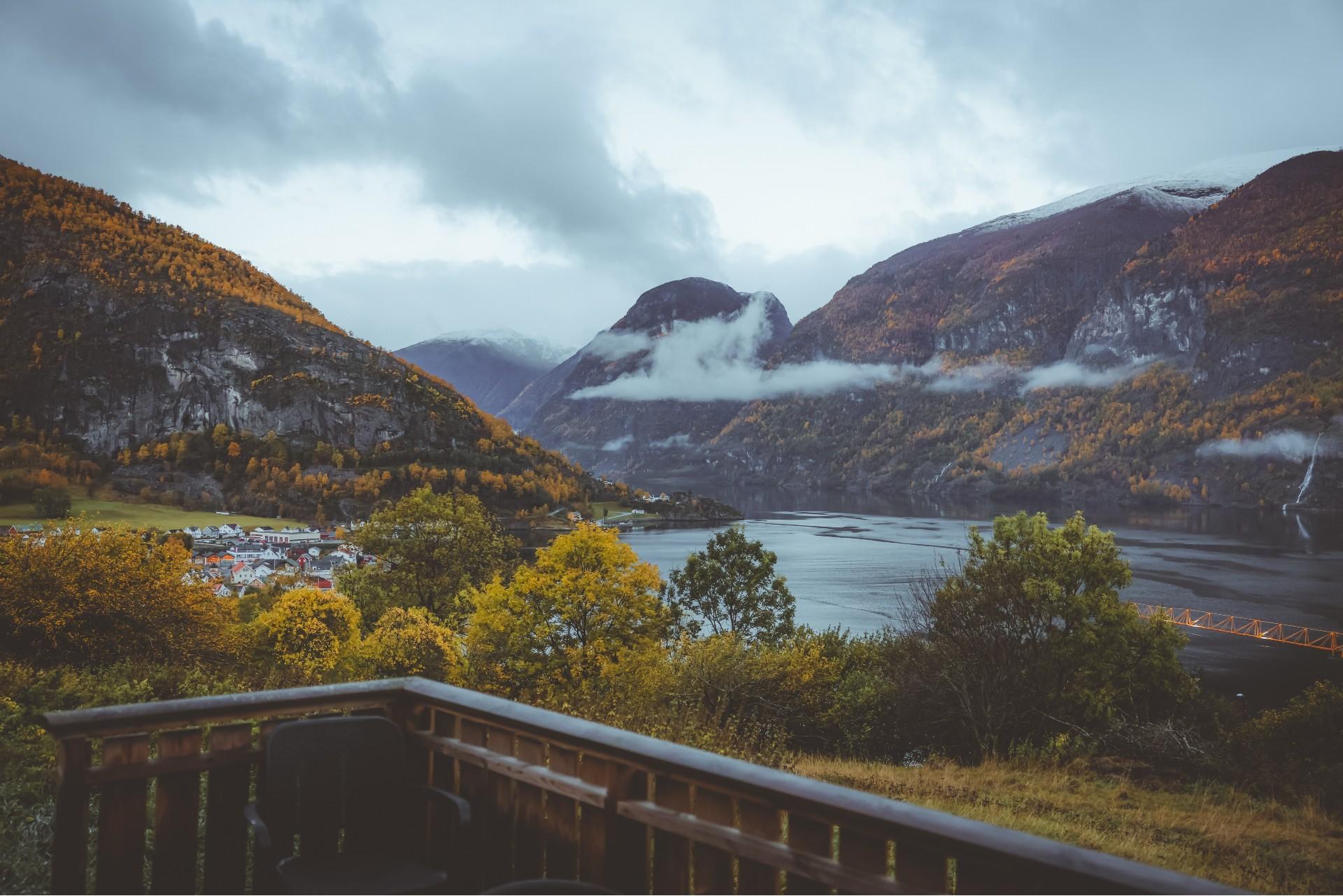
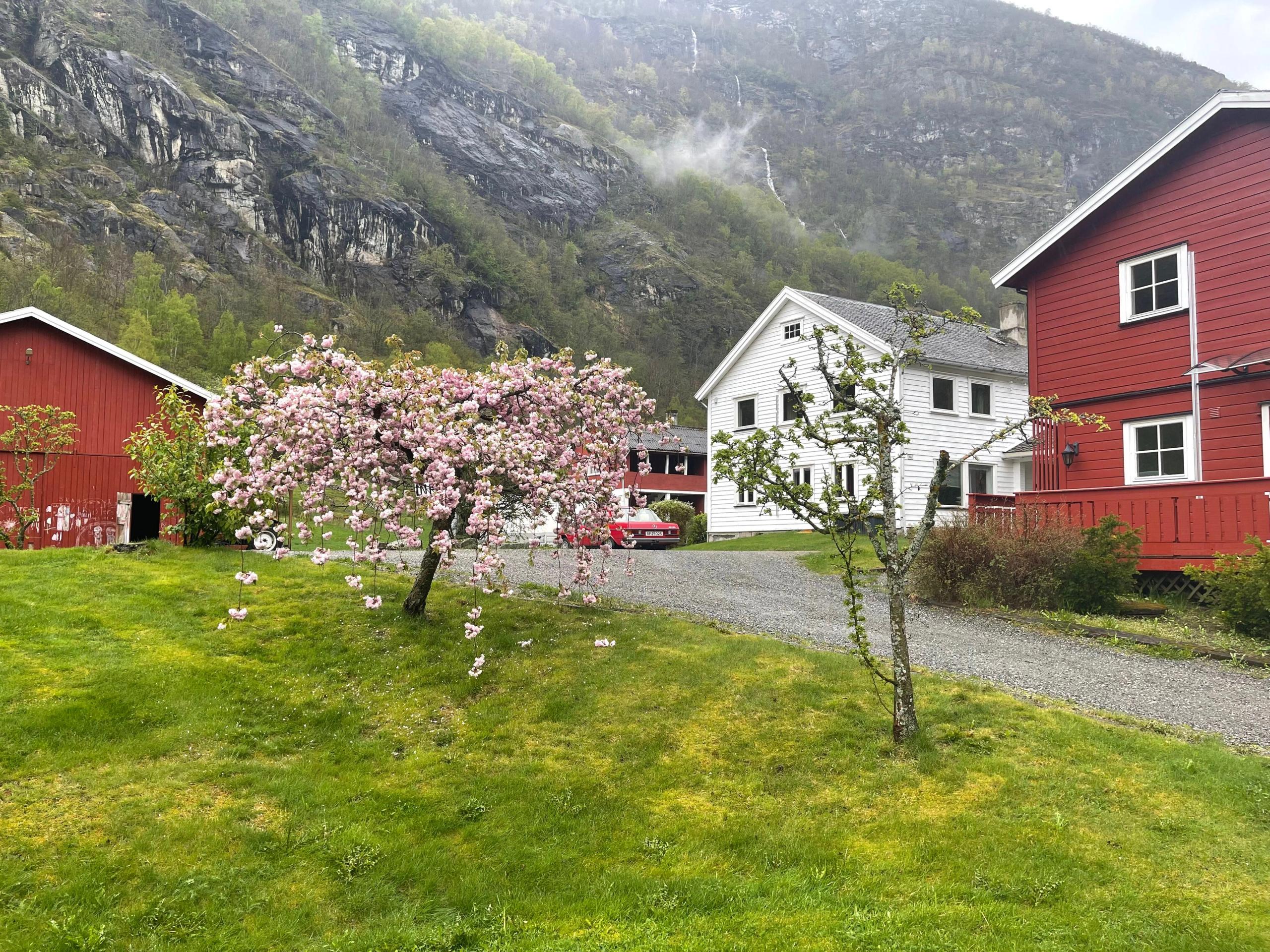
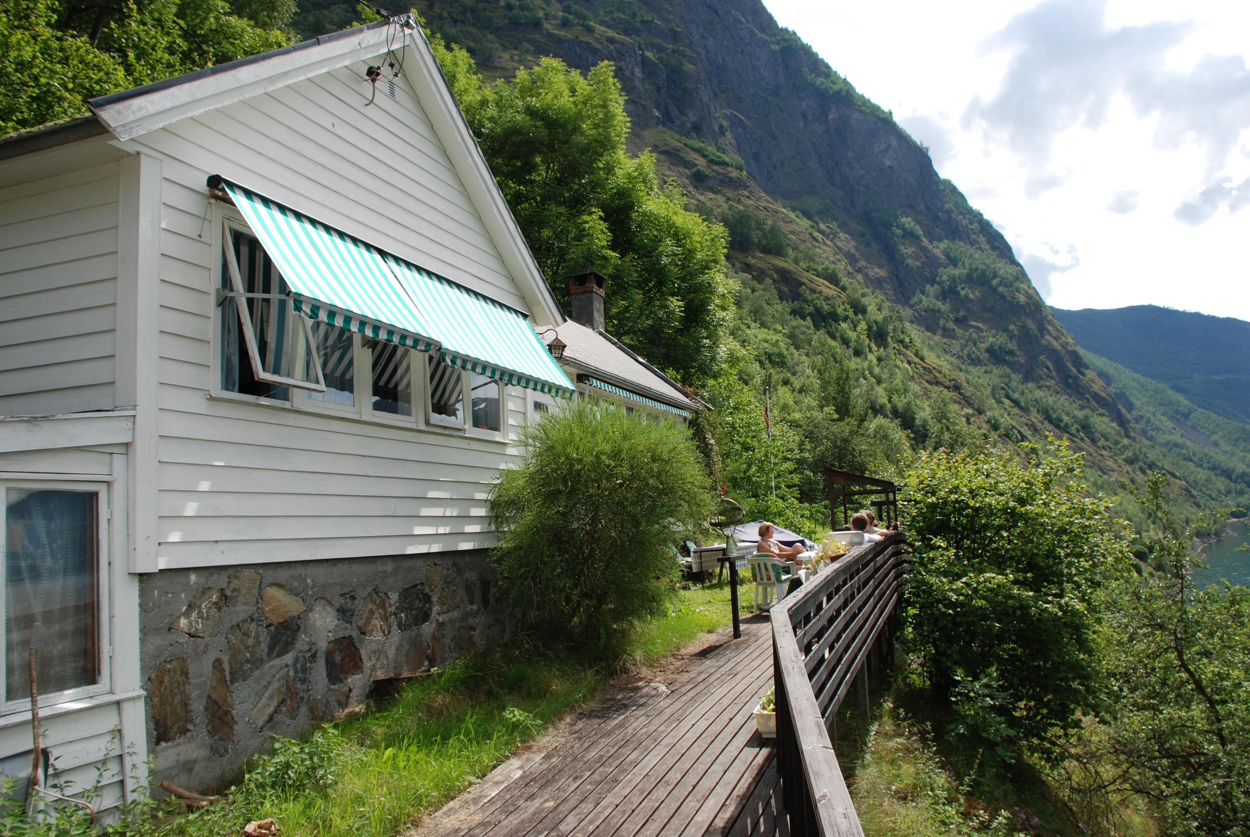
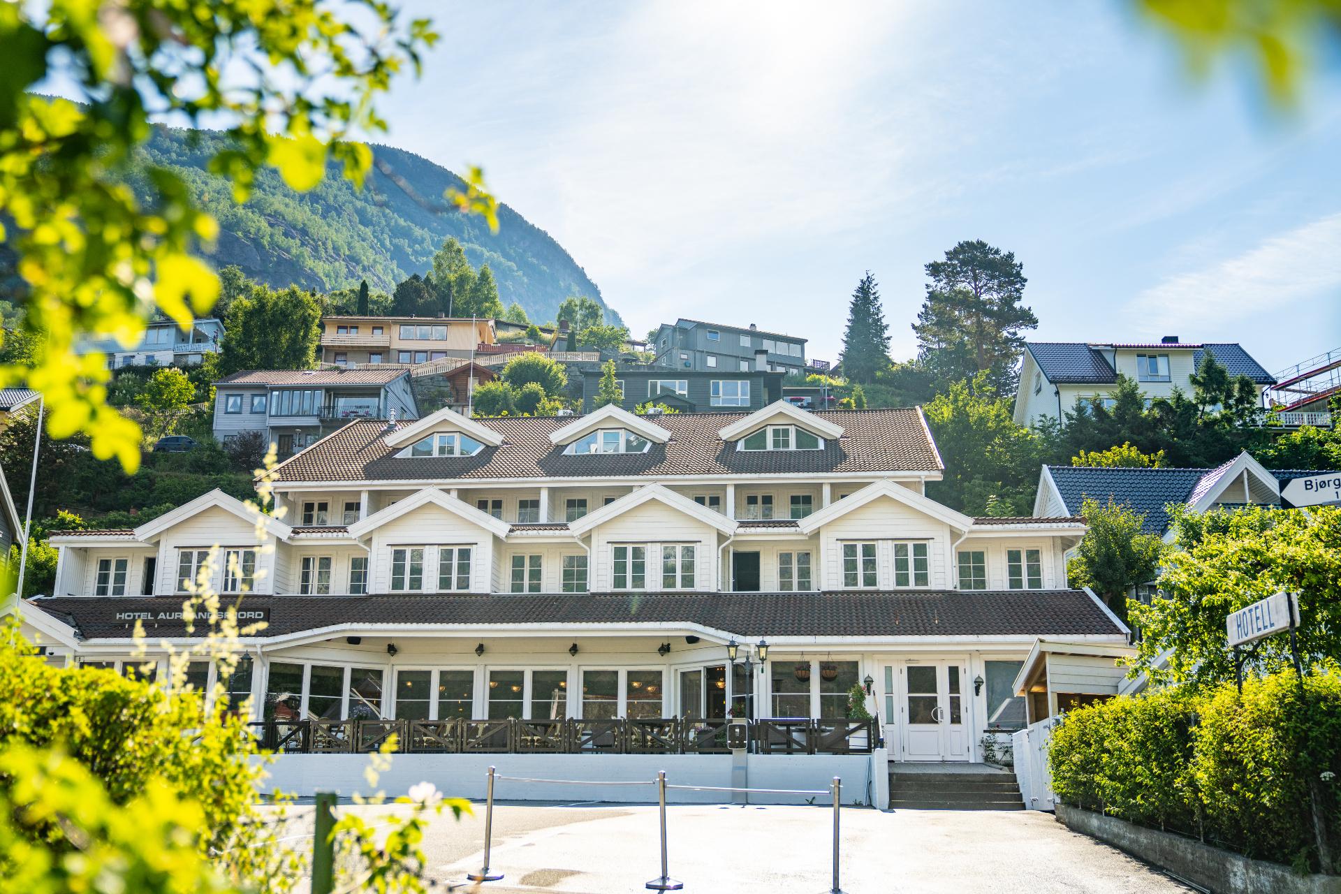
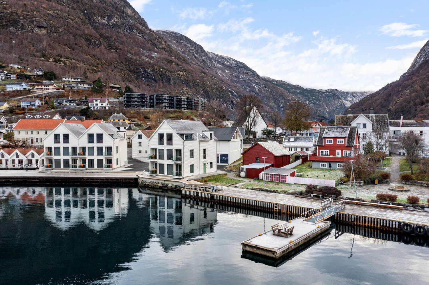
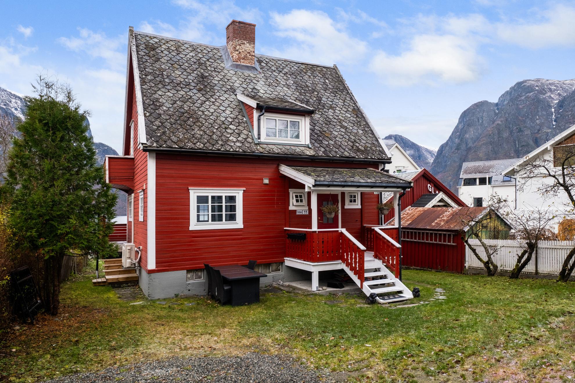
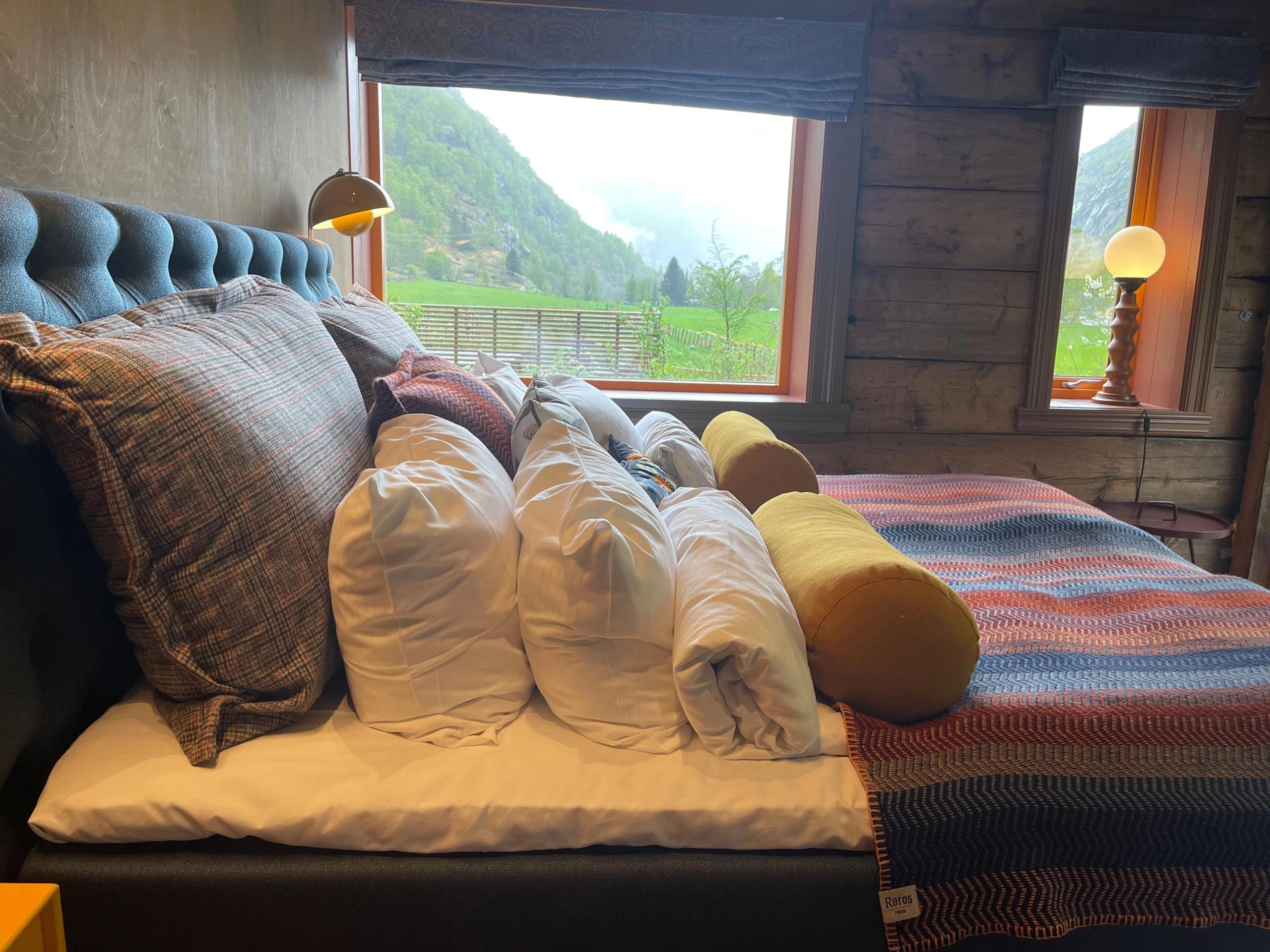
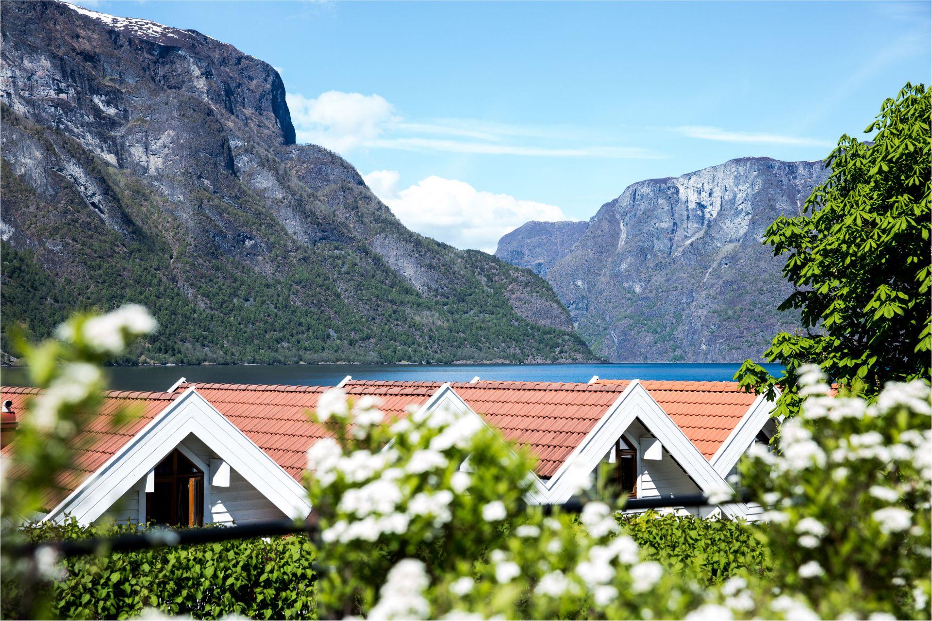
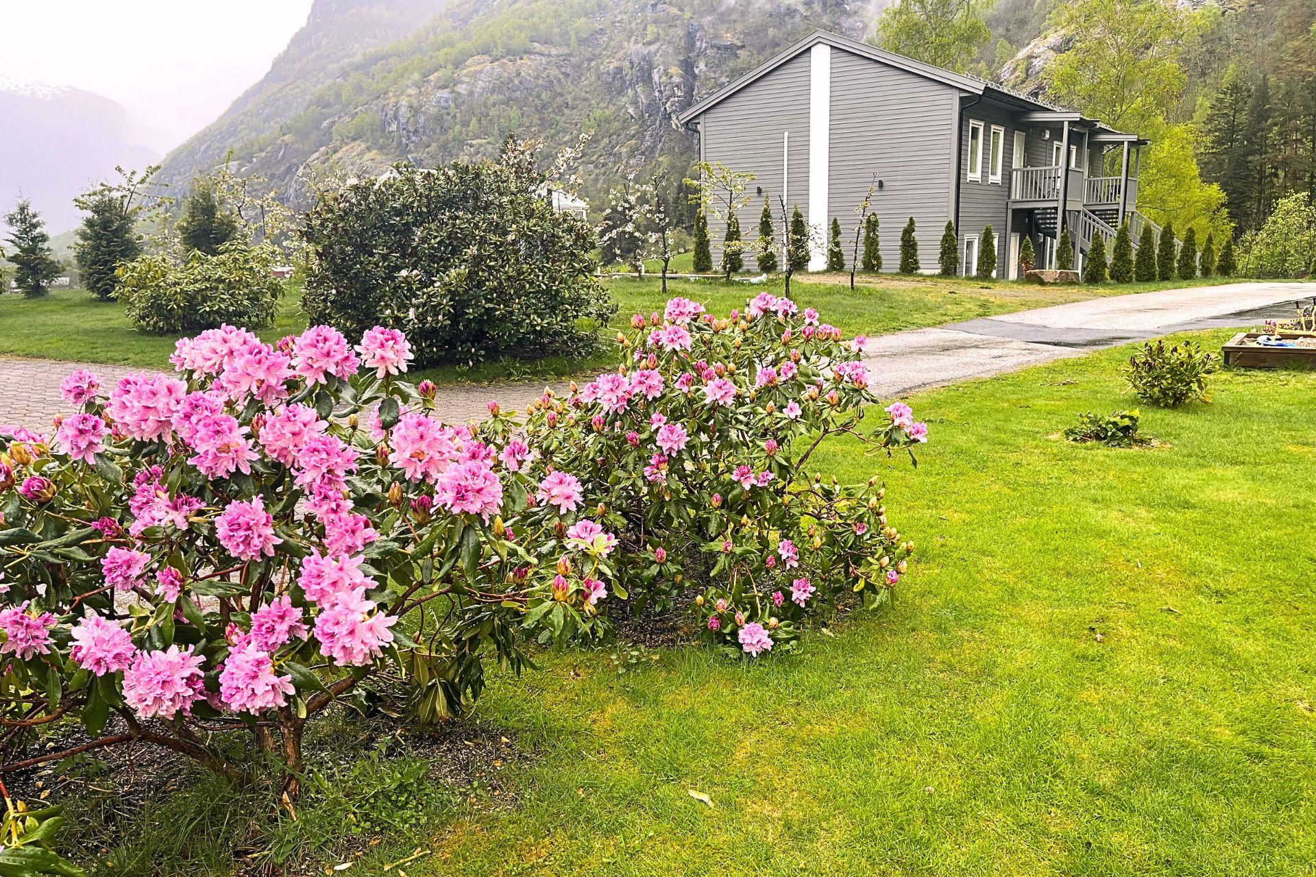
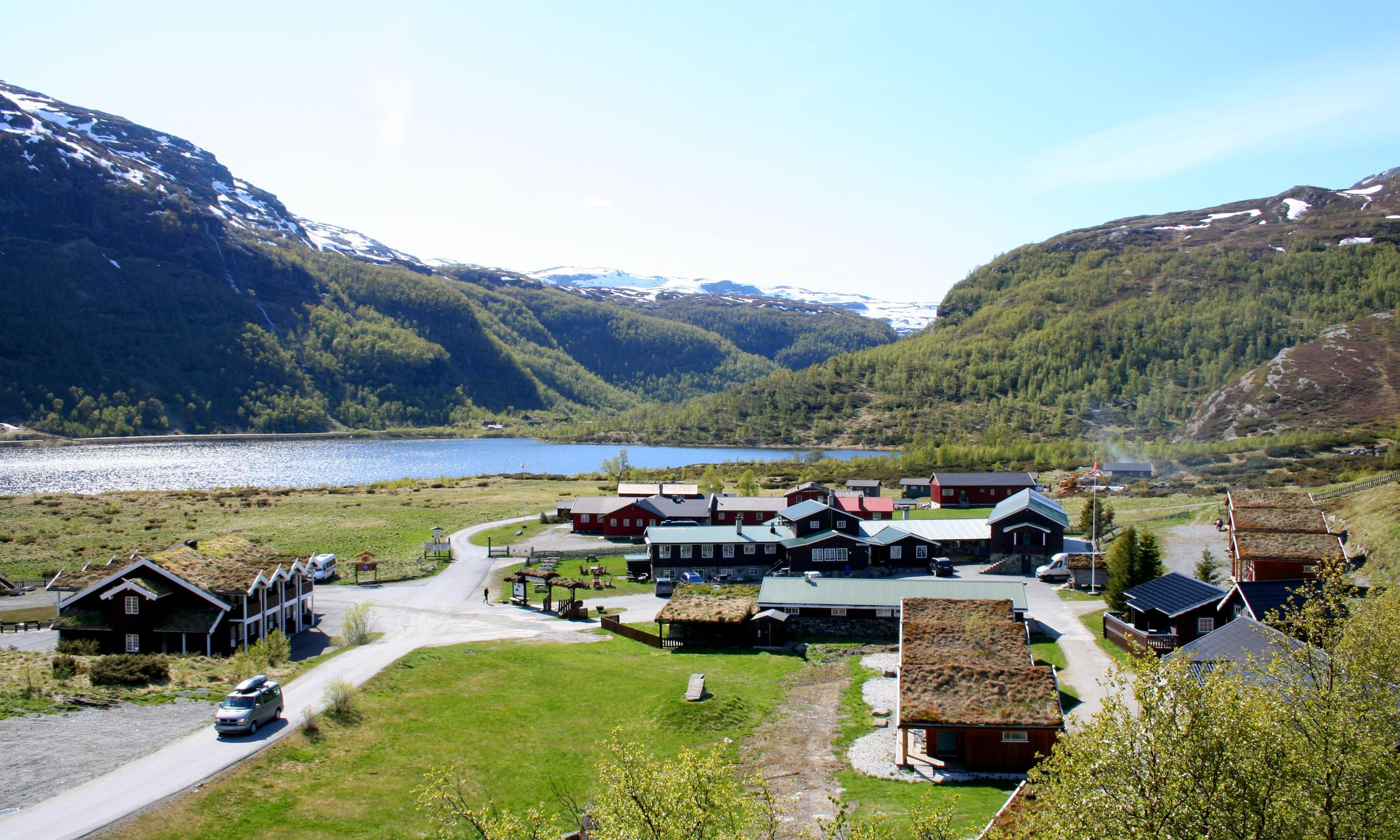
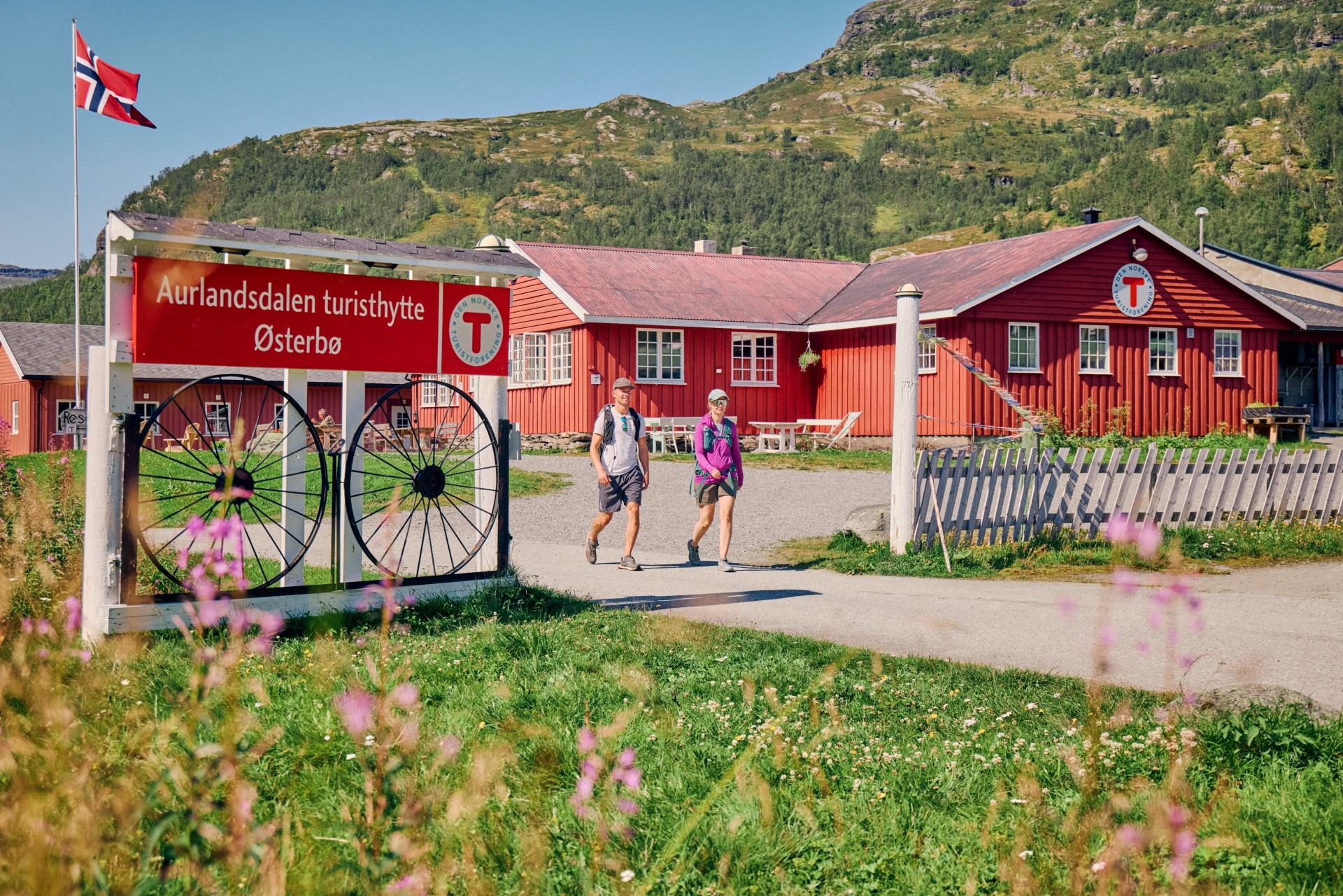


Now, it's time to get going!
After driving about 10 minutes up the steep hillside from Aurlandsvangen, make a short detour to Skjerdal Stølsysteri, for a taste of award-winning goat cheese.
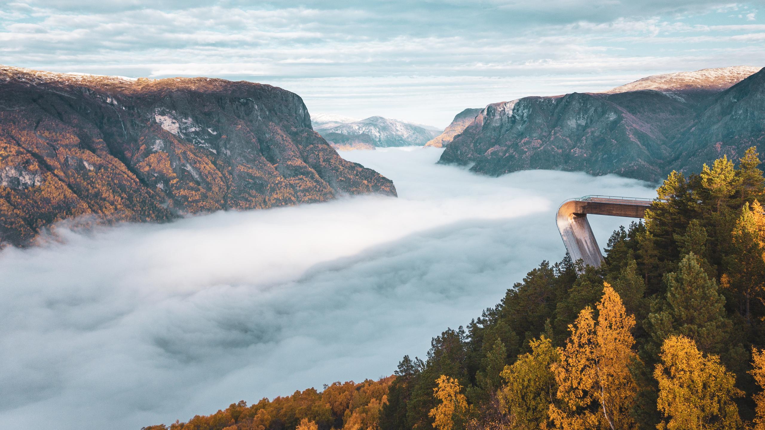
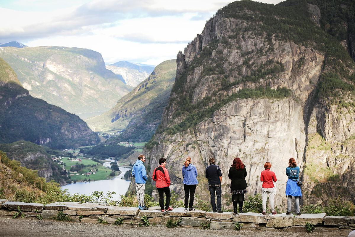
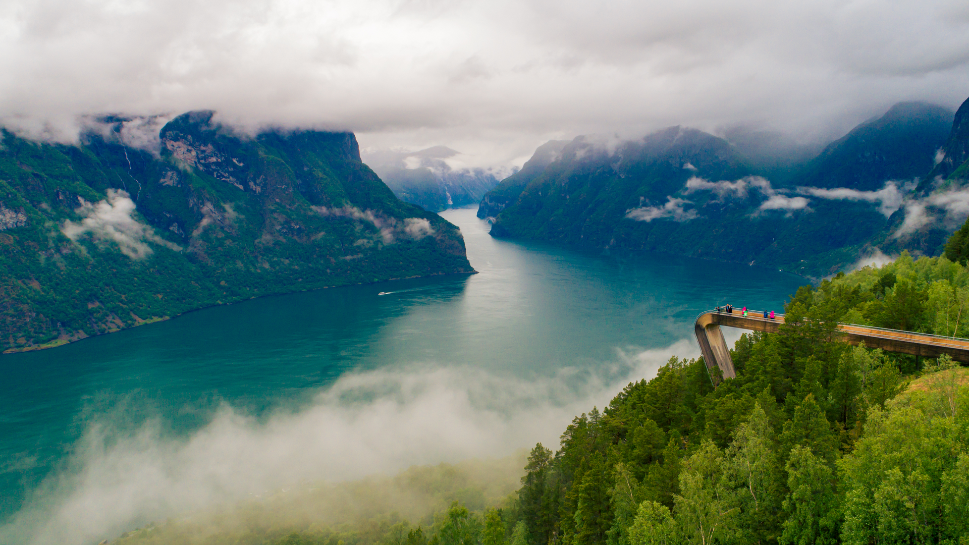
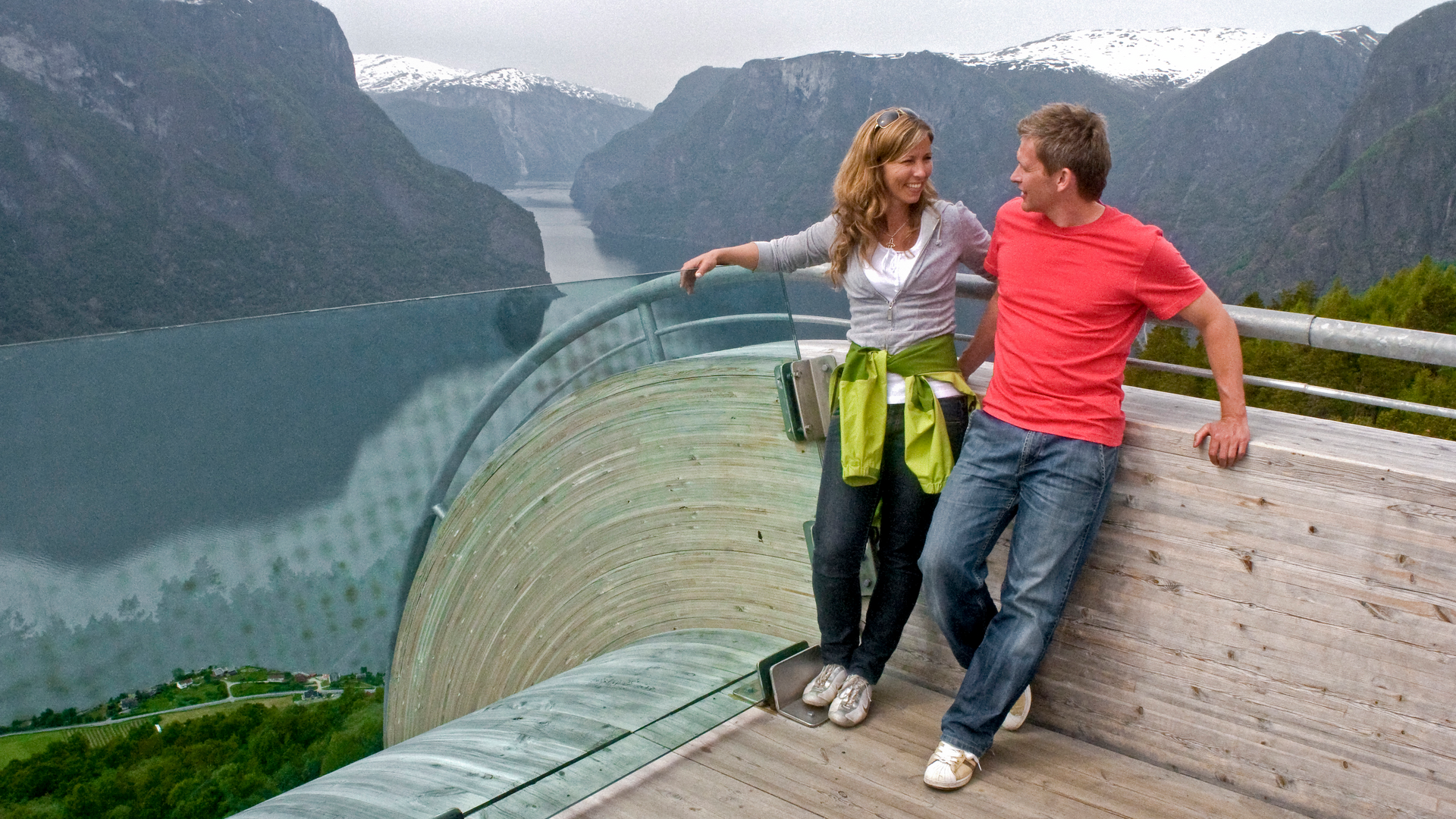
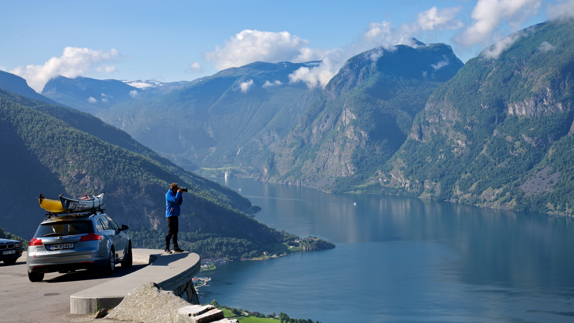
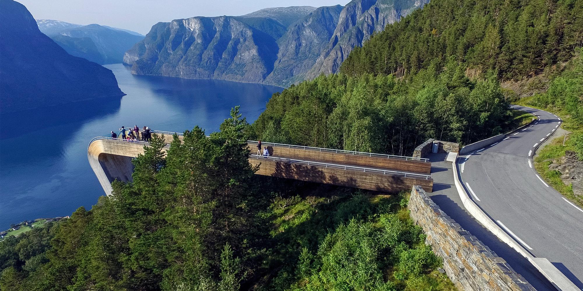
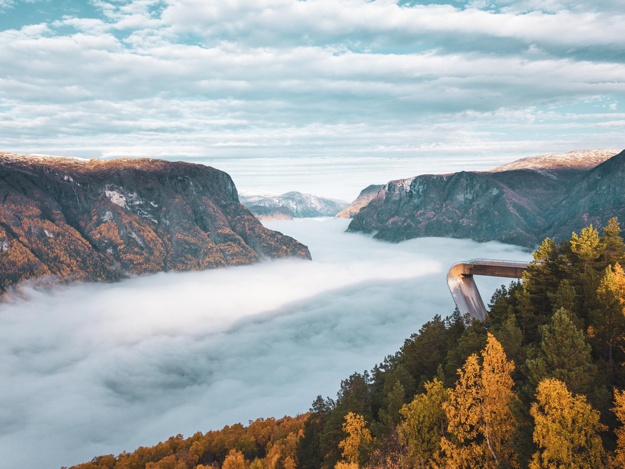
At the 8-kilometre mark, roughly 15 minutes from the start, the spectacular Stegastein viewing platform hovers 650 metres above the blue waters of the Aurlandsfjord, offering a dizzying view of the UNESCO-protected landscape.
The platform juts 30 metres out into the air, providing the ultimate 'floating' sensation.
Keep in mind, parking at Stegastein is very limited and traffic can be heavy. To avoid the midday rush, we strongly recommend taking the local shuttle bus from Flåm.
Now that we are getting close to midway in our journey, let’s take a quick dive into the history of the route.
By the time you reach 15 kilometres and 30 minutes of driving, you are navigating through engineering history.
This road was originally built as a rugged access path for massive hydroelectric projects and only opened as a public route in 1967.
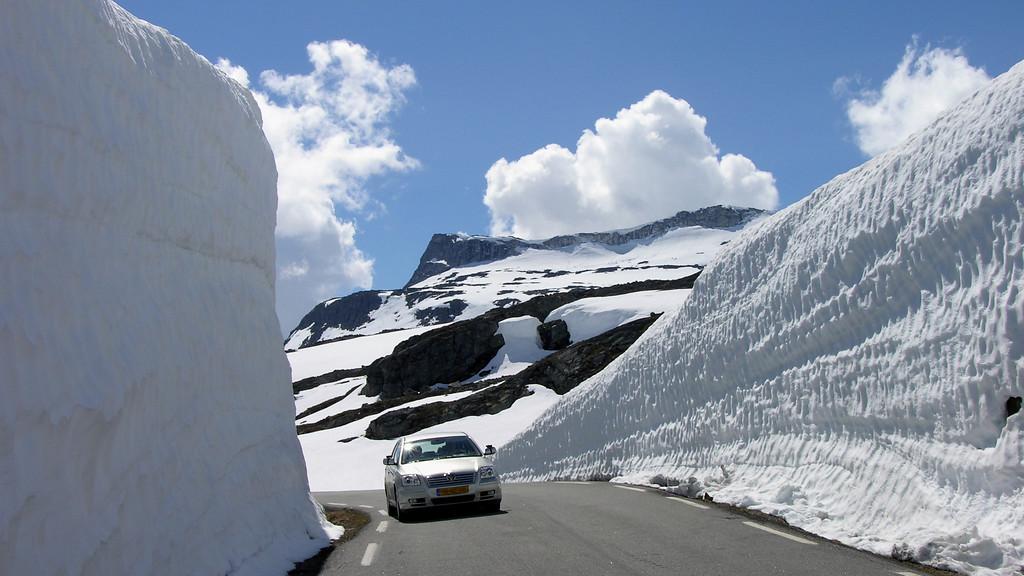
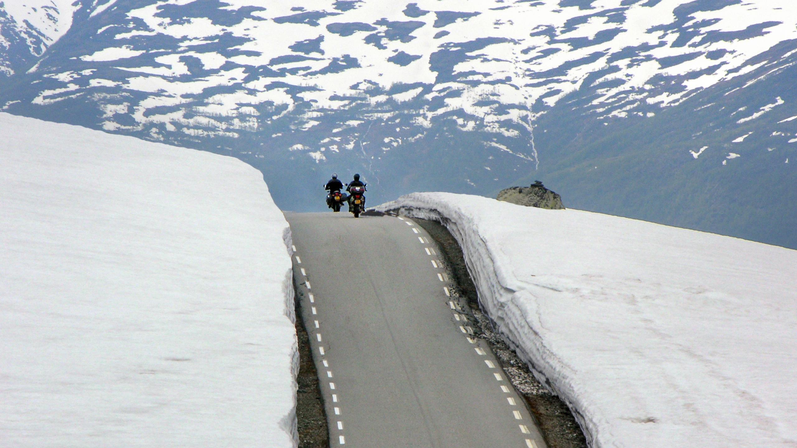
As you leave the treeline behind and reach an altitude of 1,300 metres, you’ll understand why this is called the 'Snow Road'. Even in mid-summer, you might navigate a corridor of snowbanks that can tower several metres above your car.
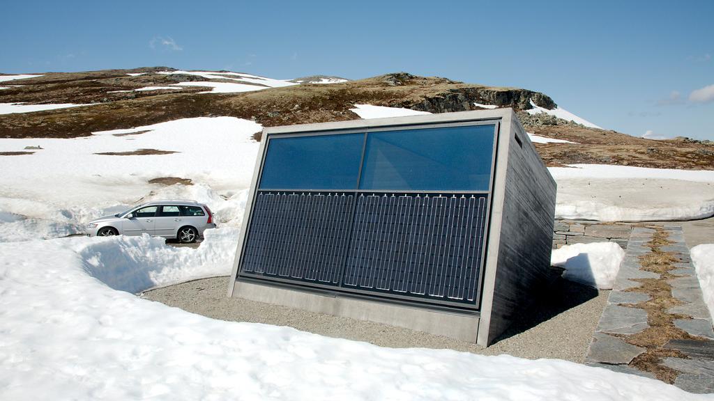
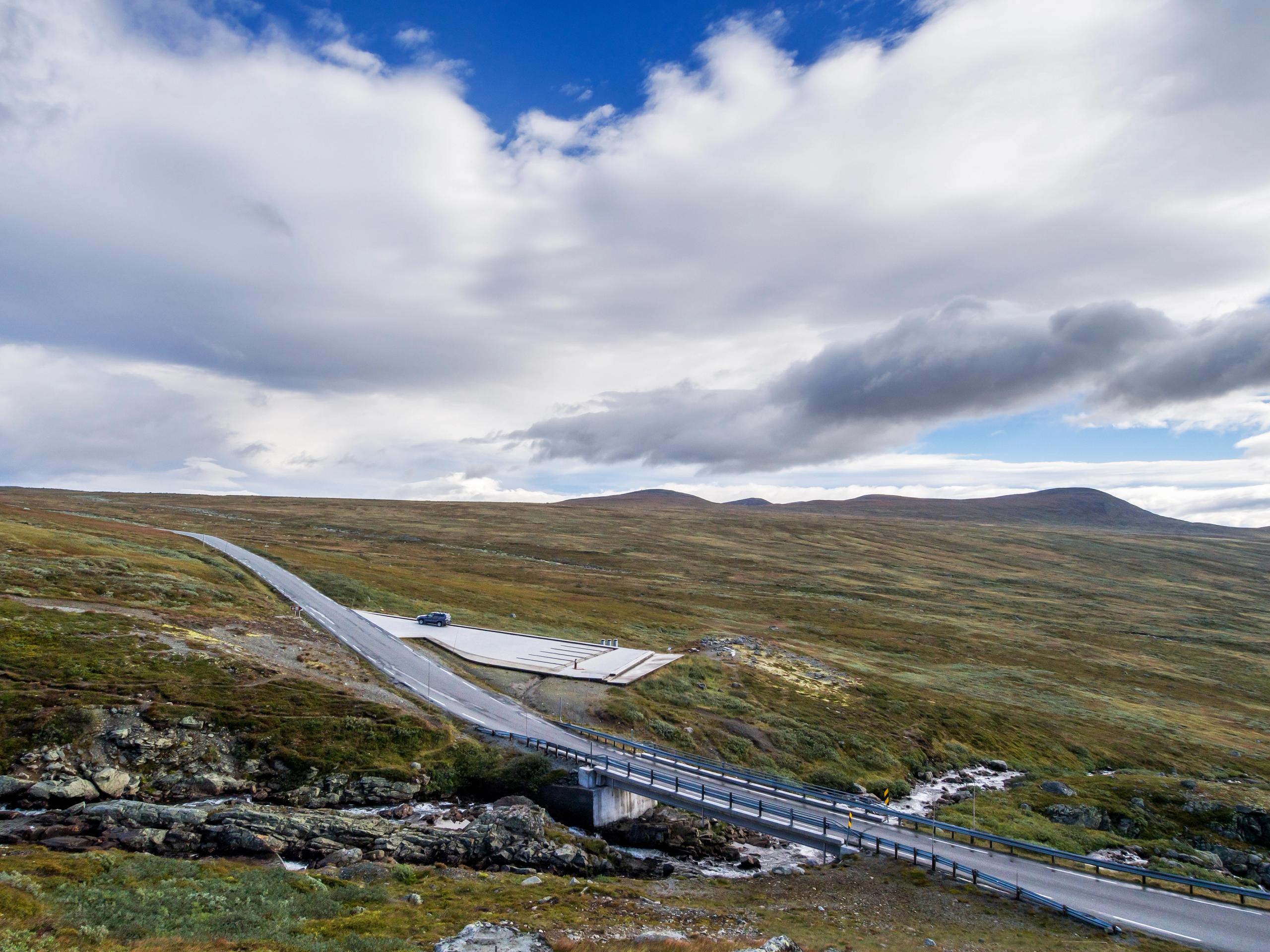
After nearly an hour on the road, Flotane is the perfect spot to stretch your legs and get some fresh air. This award-winning, solar-powered rest area is a sleek architectural gem designed to withstand harsh mountain winters.
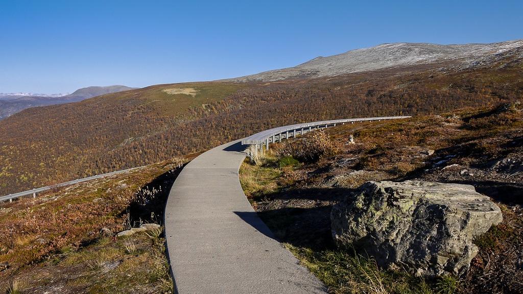
34 kilometres from Aurlandsvangen, you’ll find the graceful walkway Vedahaugene.
It curves through the terrain to protect the fragile alpine flora, while offering a sheltered view of the Jotunheimen mountains.
At the end of that same walkway, peer into a dark stone lair to find the DEN art installation.
Inside, a bear sleeps on a pile of human artefacts, a silent and slightly haunting reflection on our impact on the wild.
The descent now begins at Sluppen.
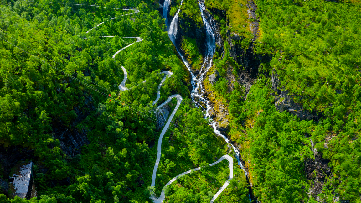
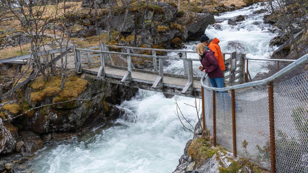
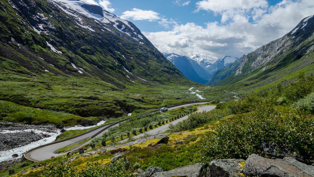
See the landscape transform from barren rock back into a lush, green valley filled with cascading waterfalls over the course of just a few steep turns.
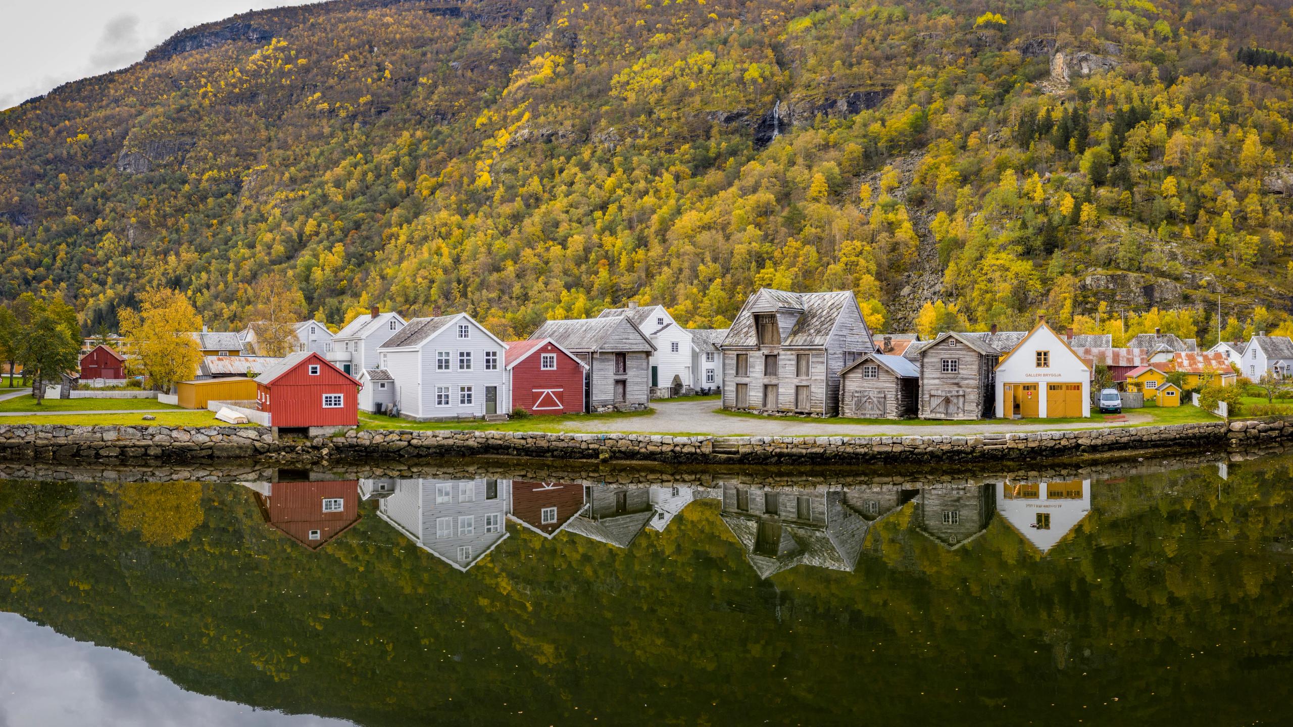
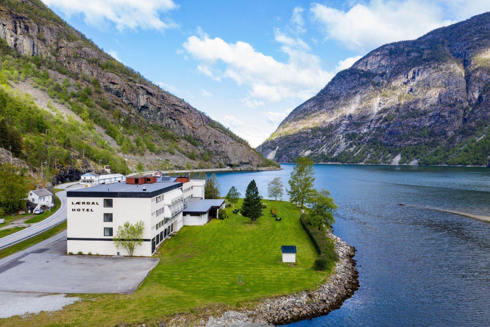
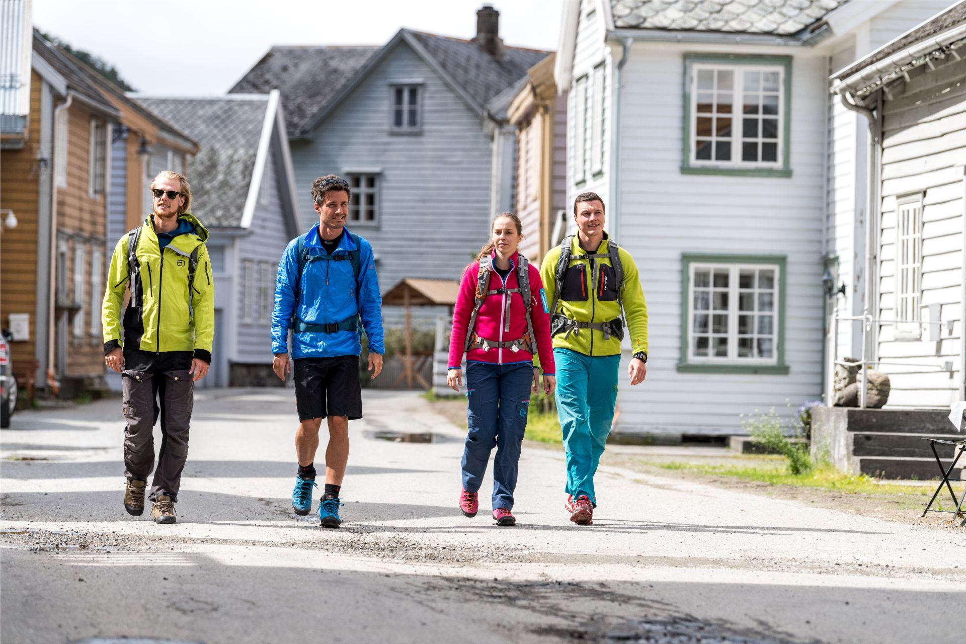
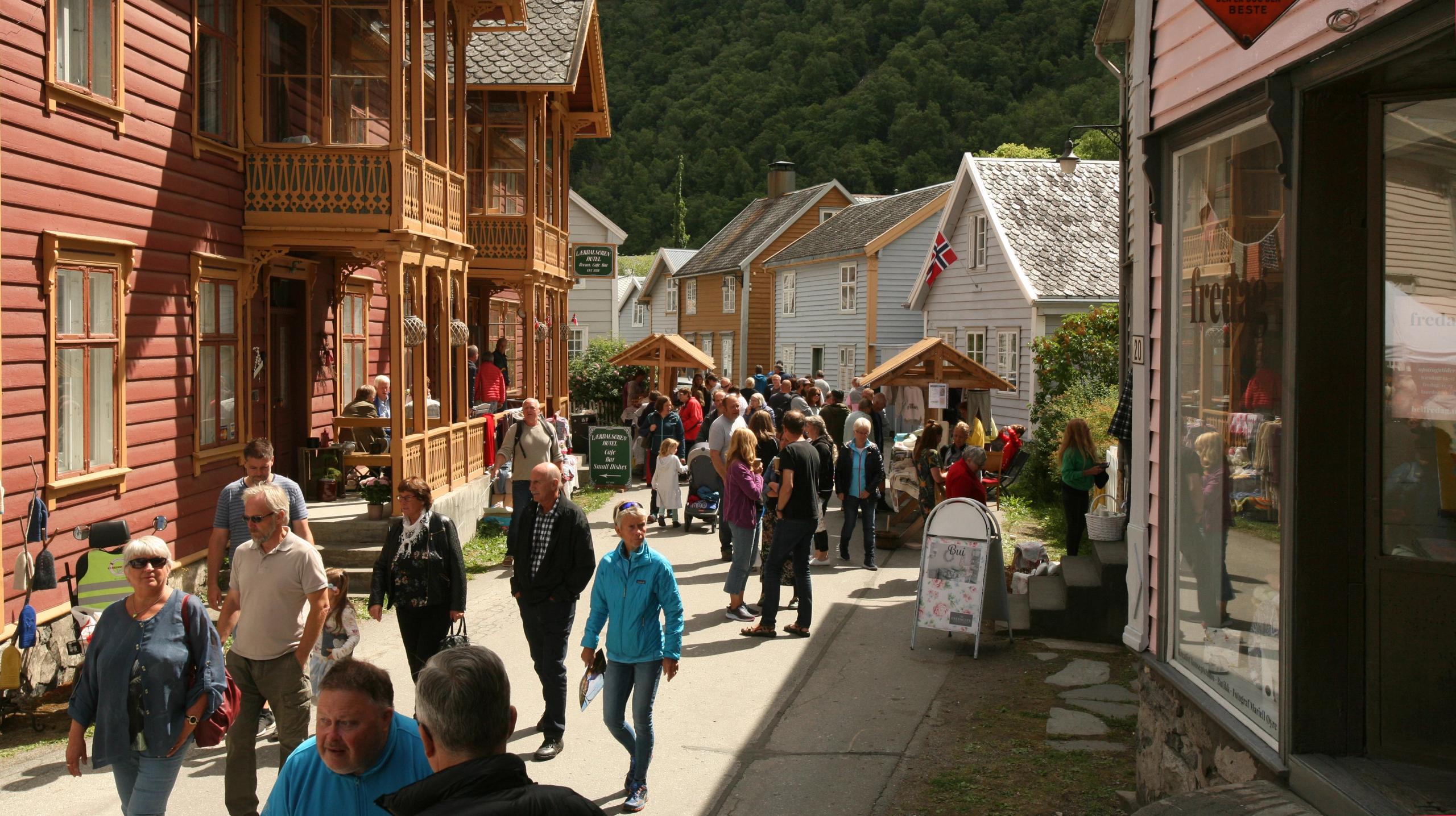
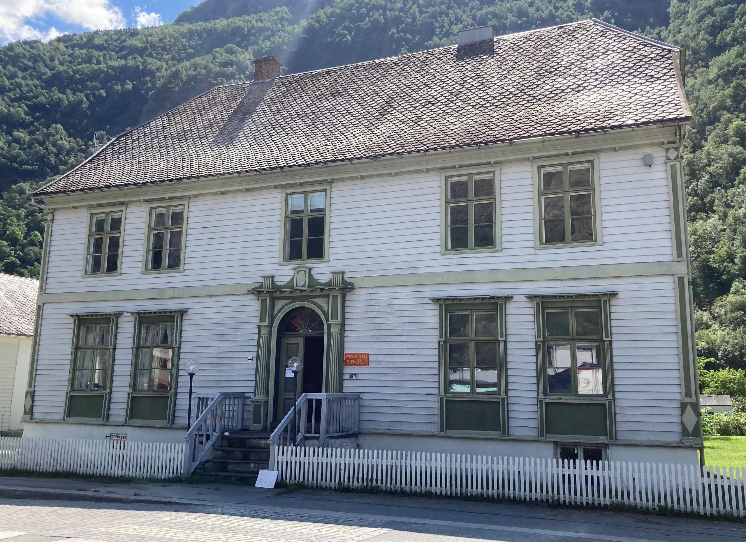
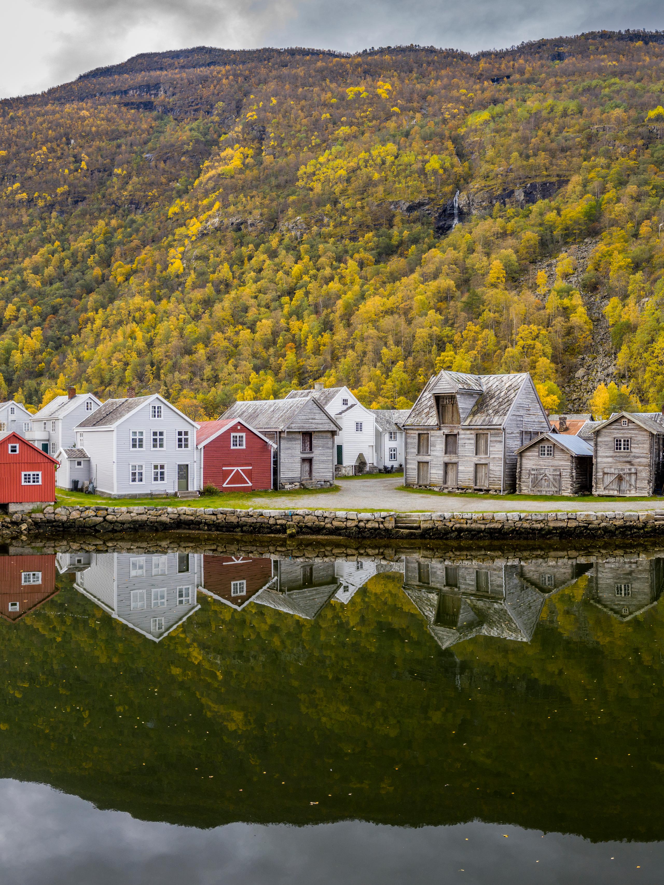
The route ends in the charming village of Lærdalsøyri at 47 kilometres, after roughly 1.5 hours of driving. Wander among the old town's 160 listed wooden houses…
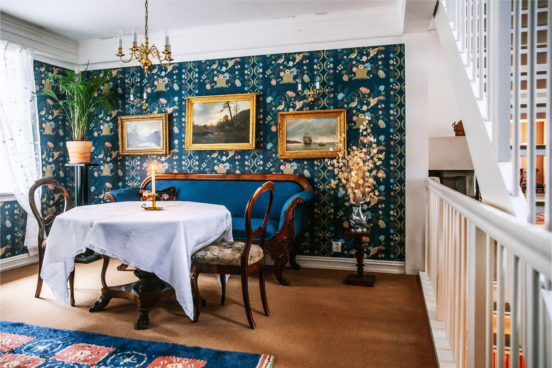
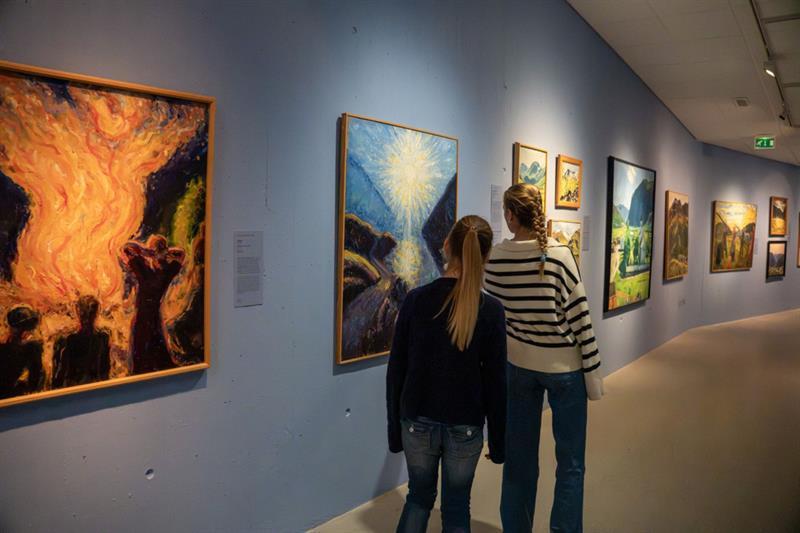
…and soak in the peaceful 18th-century atmosphere, explore galleries and visit cafés and bakeries with local food on the menu.
Explore Lærdal
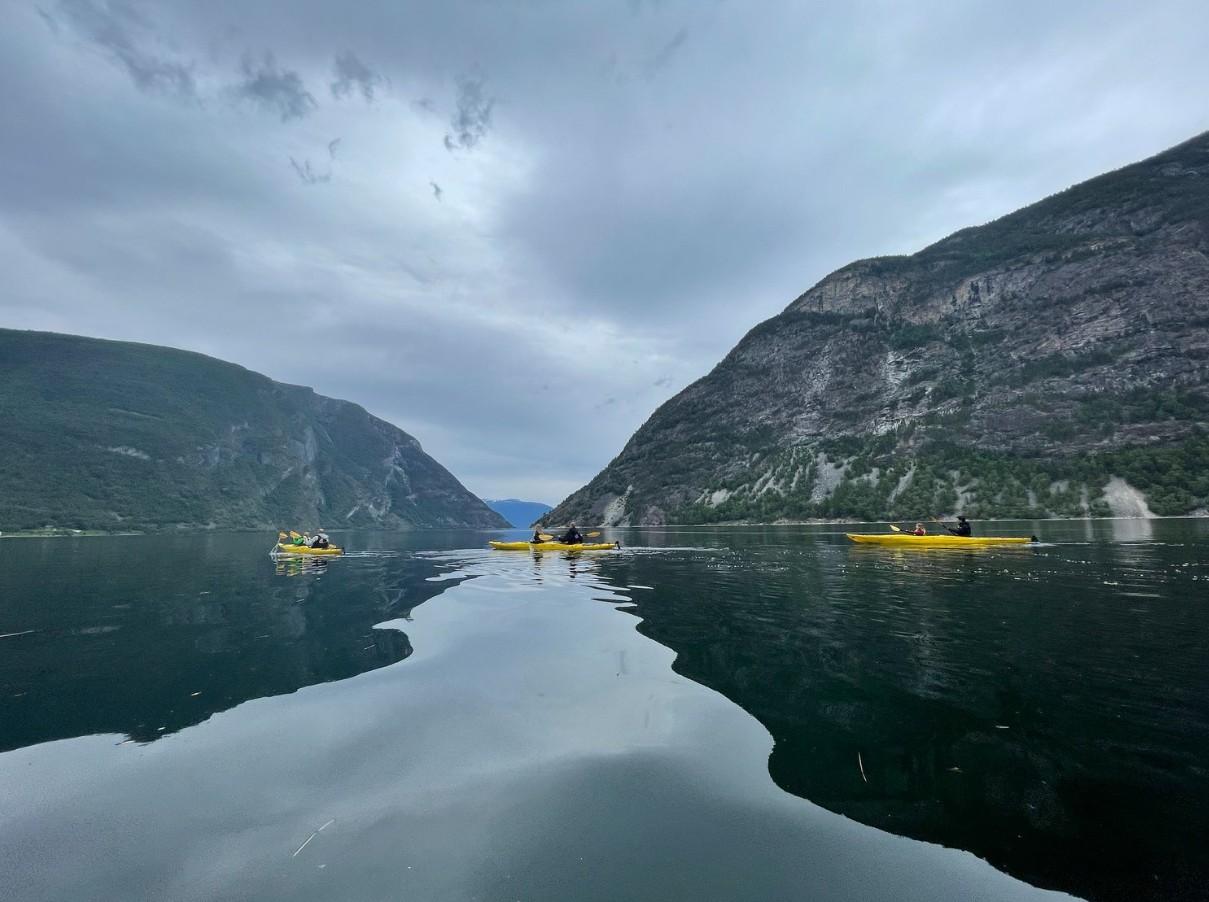
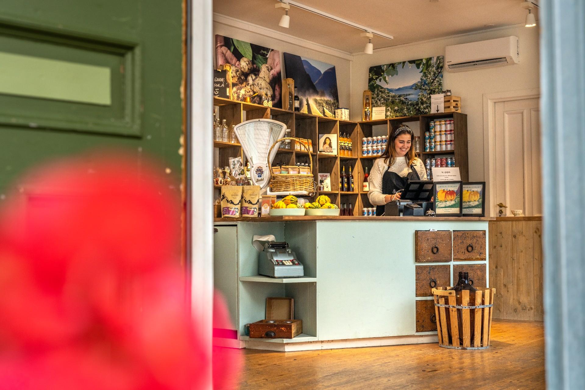
Explore local shops, hotels and cultural stops in Lærdal.



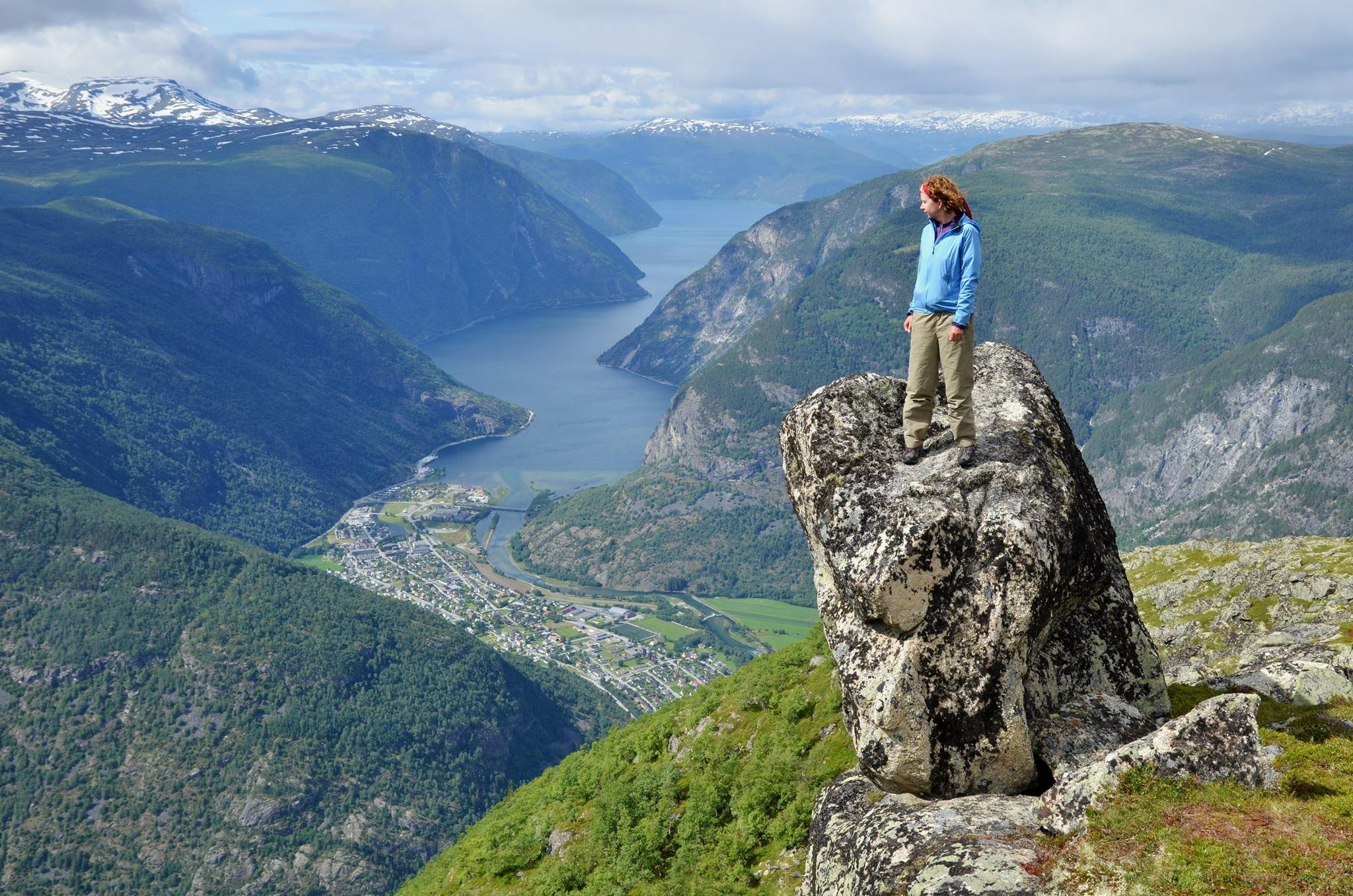
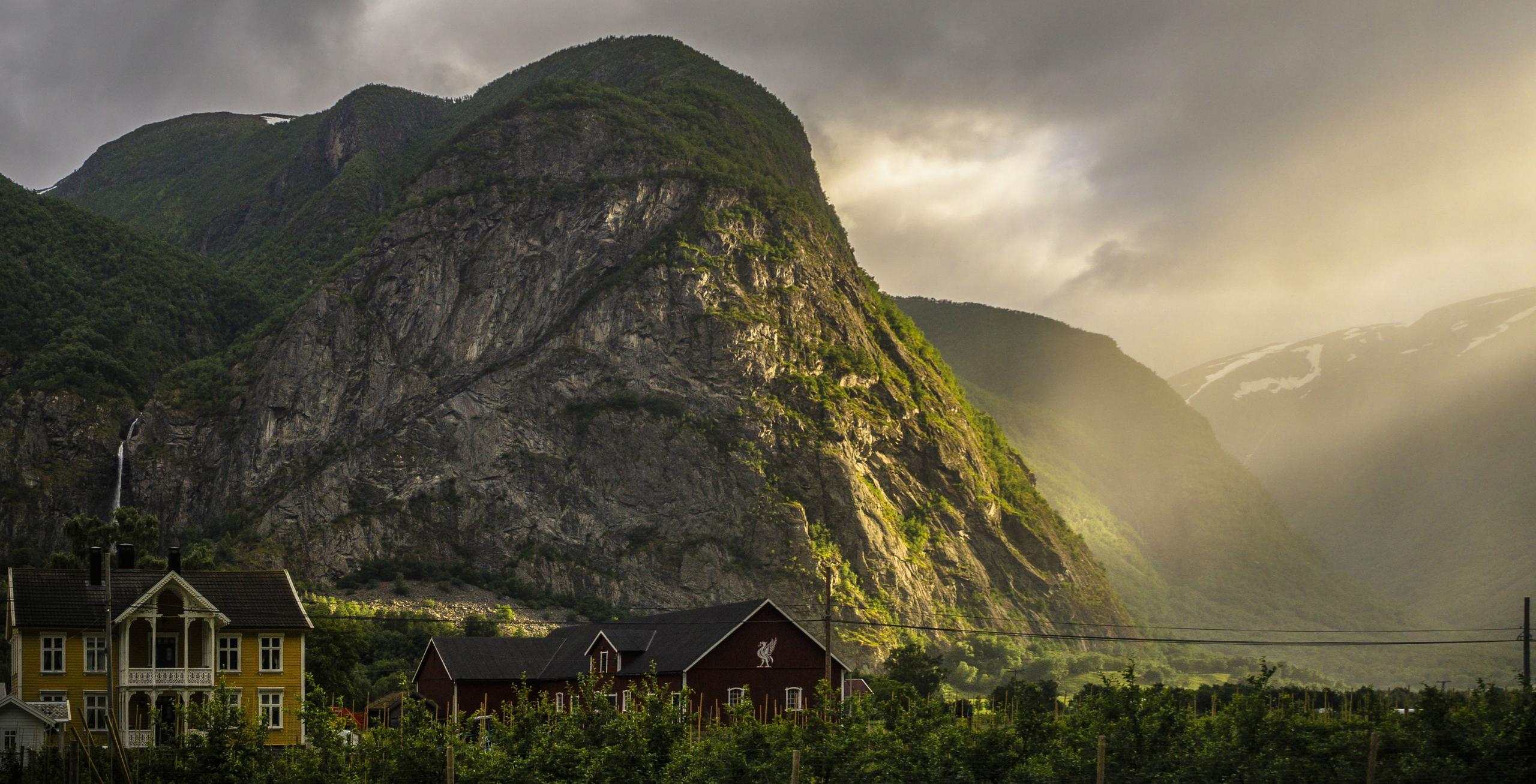
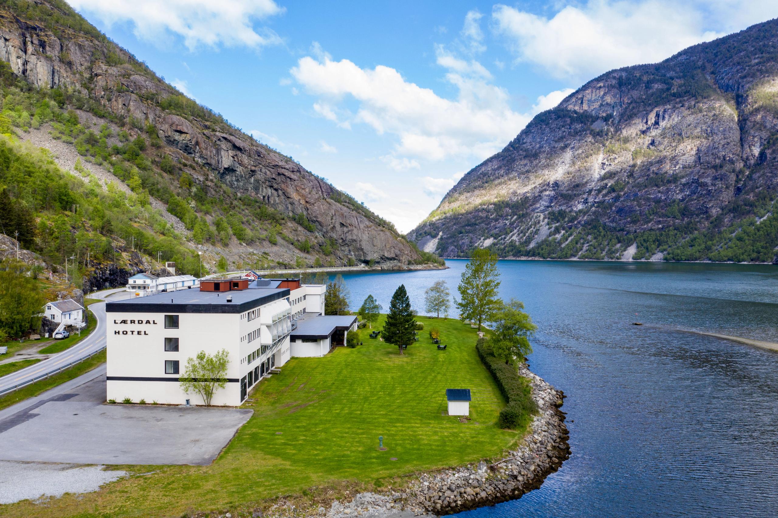
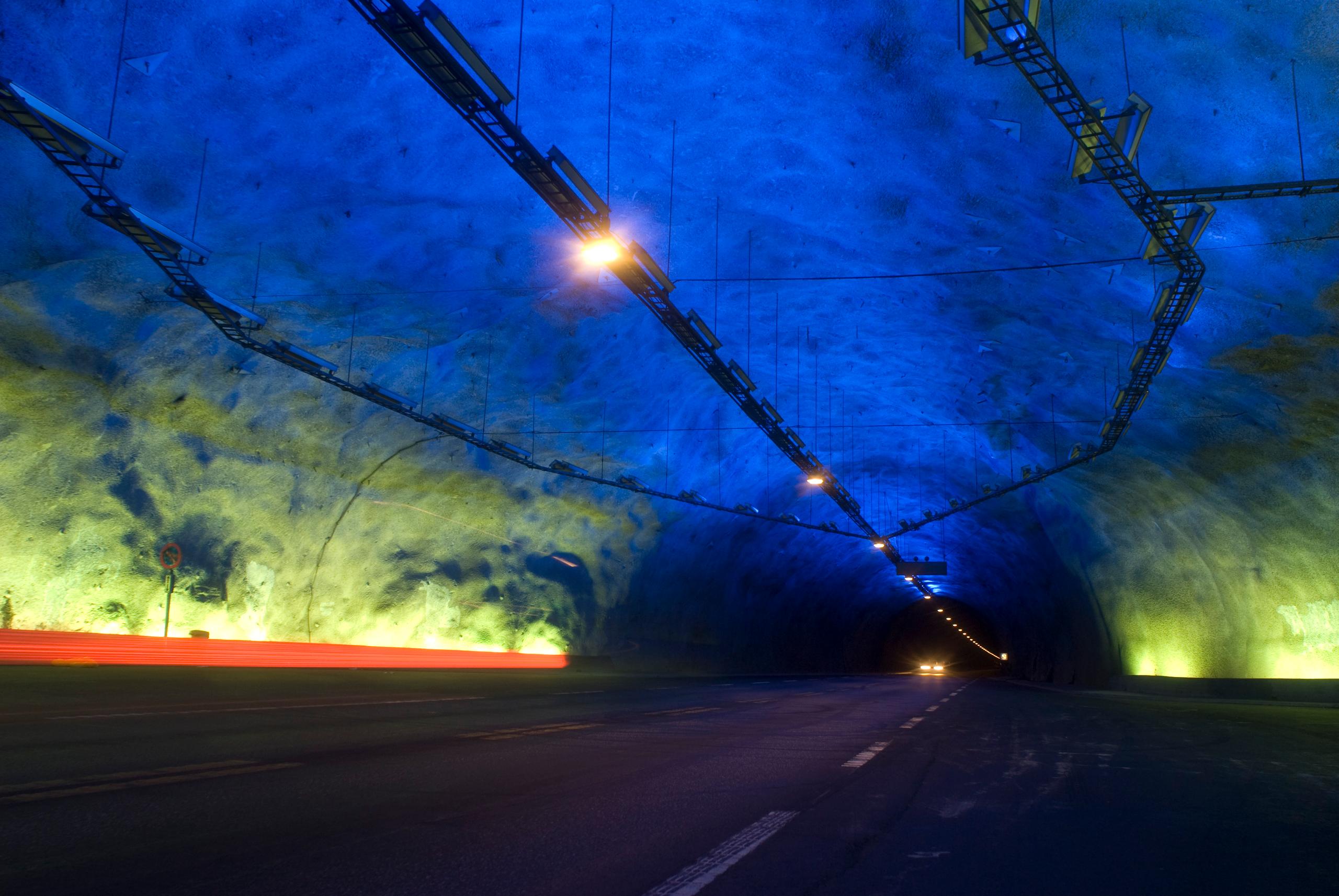
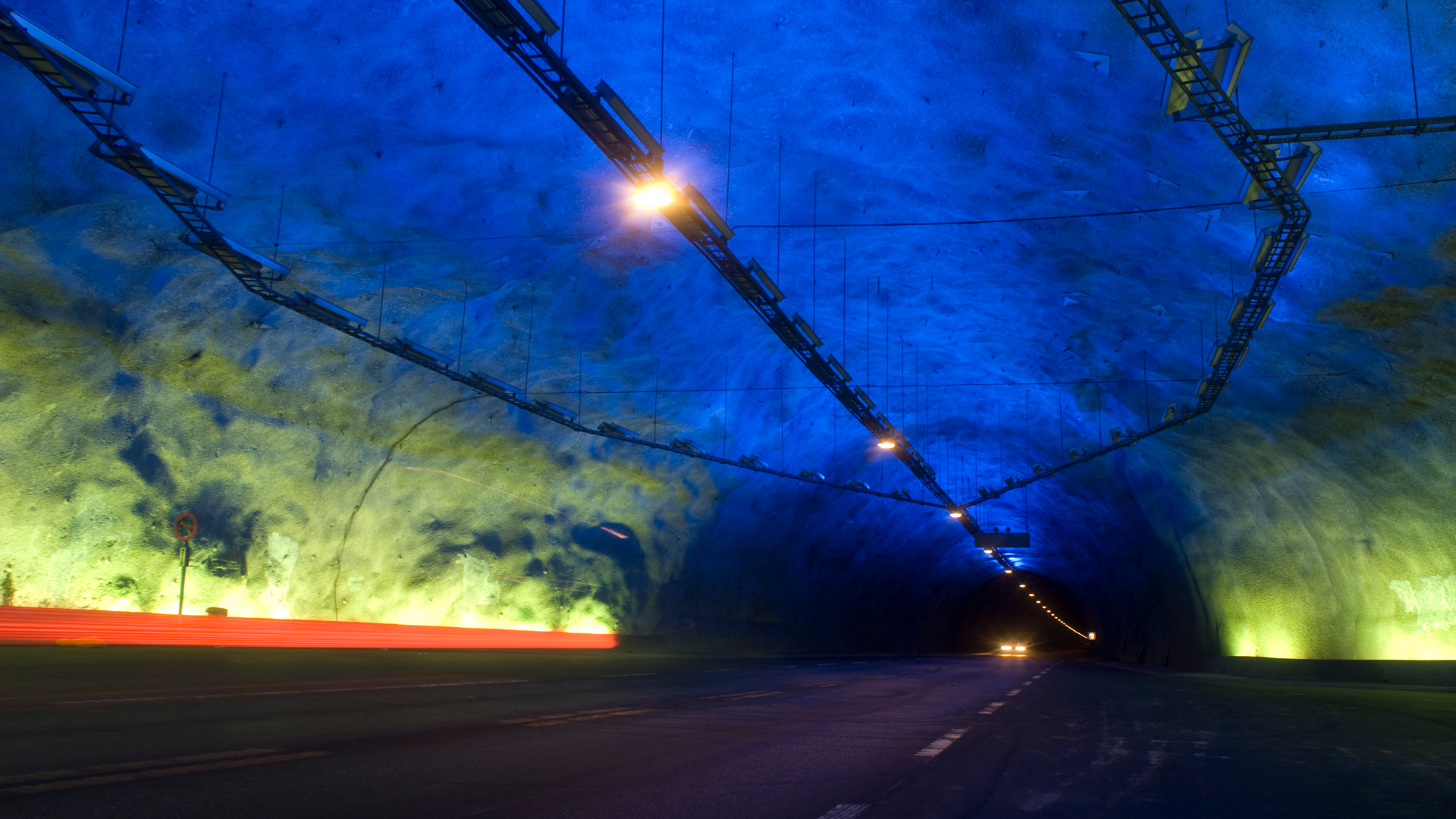
Should you wish to return to Aurlandsvangen, make sure to pass through Lærdalstunnelen, the longest road tunnel in the world at 25 kilometres!
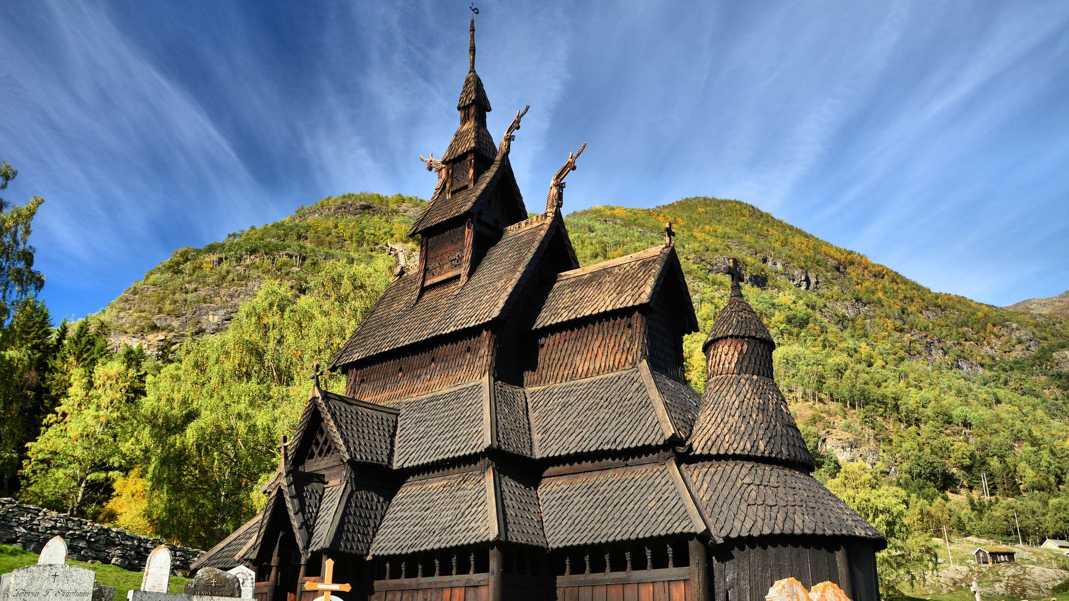
If you continue east towards Eastern Norway, or take a 30-minute detour inland from Lærdal, you'll reach Borgund Stave Church. Built in 1180, its dragon-headed roof and dark-tarred wood make it the best-preserved medieval church in Norway.
Nice to know before you go
The Norwegian Scenic Route Aurlandsfjellet is not accessible during winter and spring.
The high mountain plateau is closed from October until late May or early June, depending on snow conditions.
Always check the weather and road conditions before you go, as snow can fall at the summit even during the summer months. After opening, the road may be closed for periods at night or during bad weather.
The road from Aurlandsvangen up to the popular Stegastein viewpoint is very narrow and steep, and there's a lot of traffic during peak season. Be considerate and only stop at designated places, and use the passing bays actively to let traffic pass. Note that parking space at Stegastein is limited, and you can only park there for a maximum of 1 hour.
If you're driving a motorhome or caravan, emptying chemical toilets is not allowed in the restrooms beside the road. The facility is not designed for such use.
Throughout the journey, stay alert for sheep and goats napping on the warm asphalt. They are the true locals of the mountain road, and always have the right of way.
Source: Norwegian Scenic Routes
Tips for driving in Norway
Driving in Norway - Speeding
Driving in Norway - Caravan
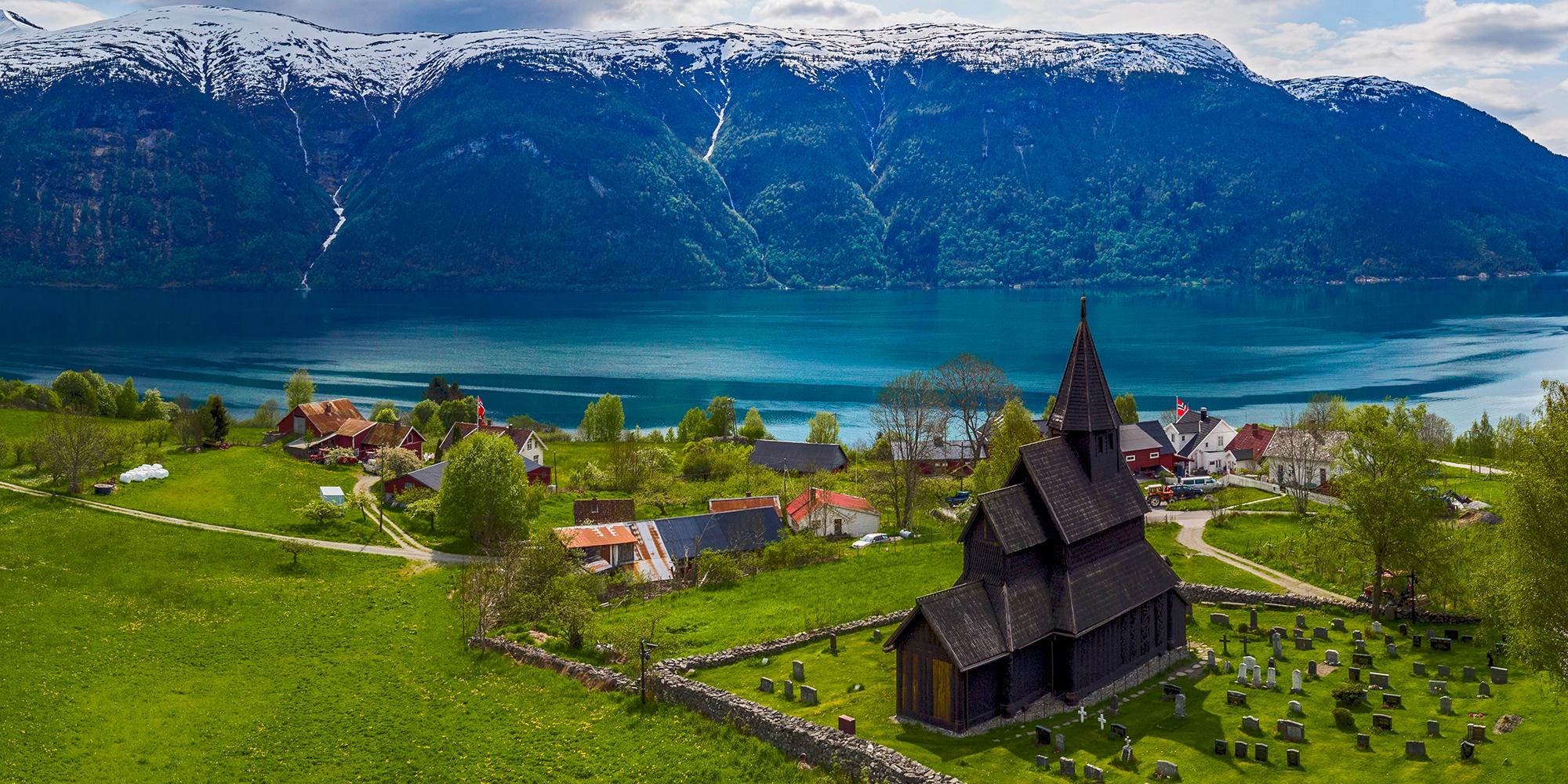
Norwegian Scenic Routes
Explore the most beautiful drives in Norway! Find out what to experience along the Norwegian Scenic Routes, including lesser-known gems, accommodation, and wonderful detours.
Get the best deals on transport
Travel comfortably around Norway with our partners.
 7 Hours ・ April - SeptemberBook now
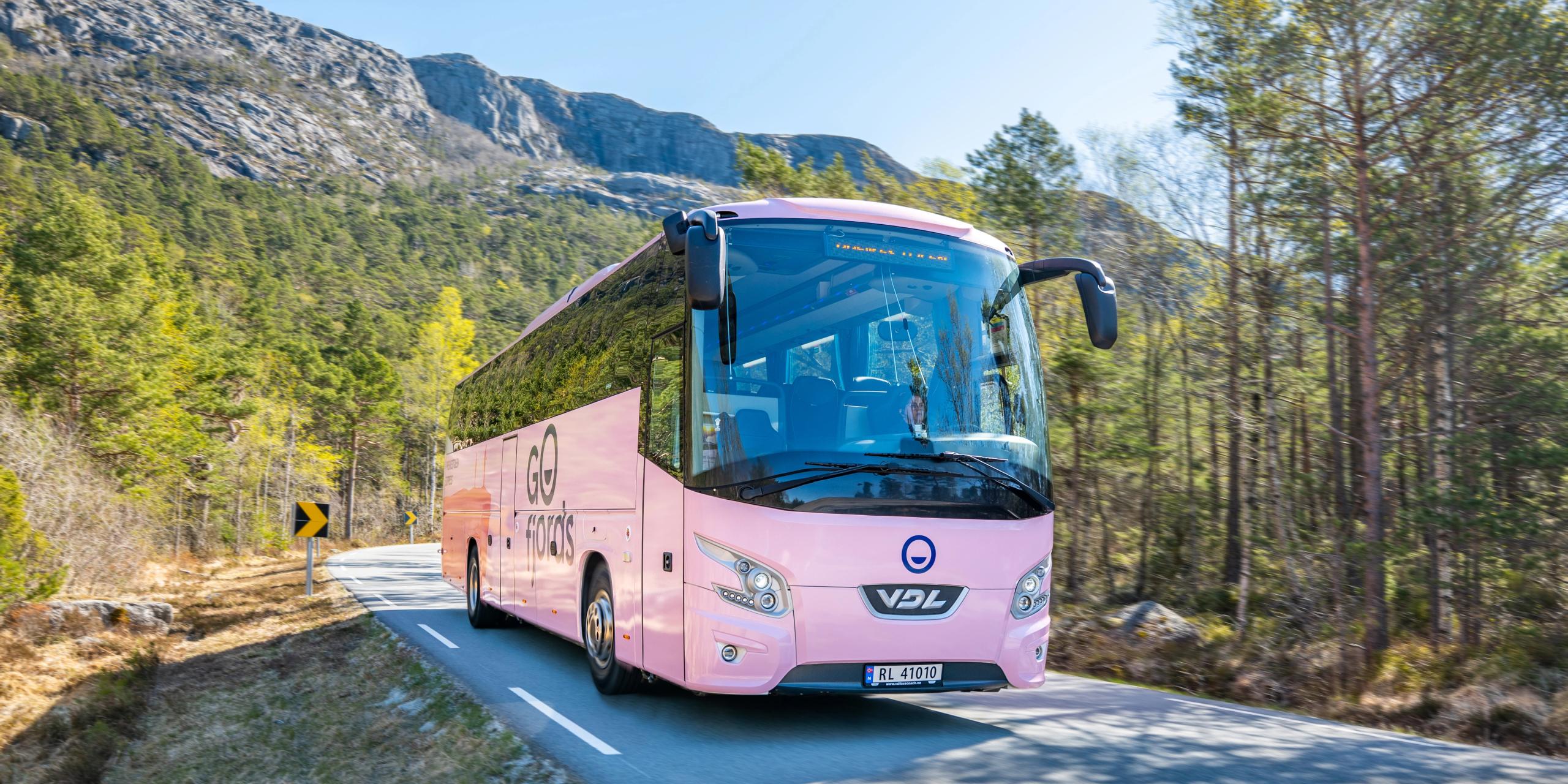
Preikestolen express bus
Roundtrip from Stavanger to an iconic trailOne of the most popular hikes in Norway. Our bus provides easy and comfortable round trip transport from Stavanger. Be aware that this hike is unguided, however, the trail is well marked with distance markers. Relax and enjoy the view. / Go FjordsPrice From 389 NOK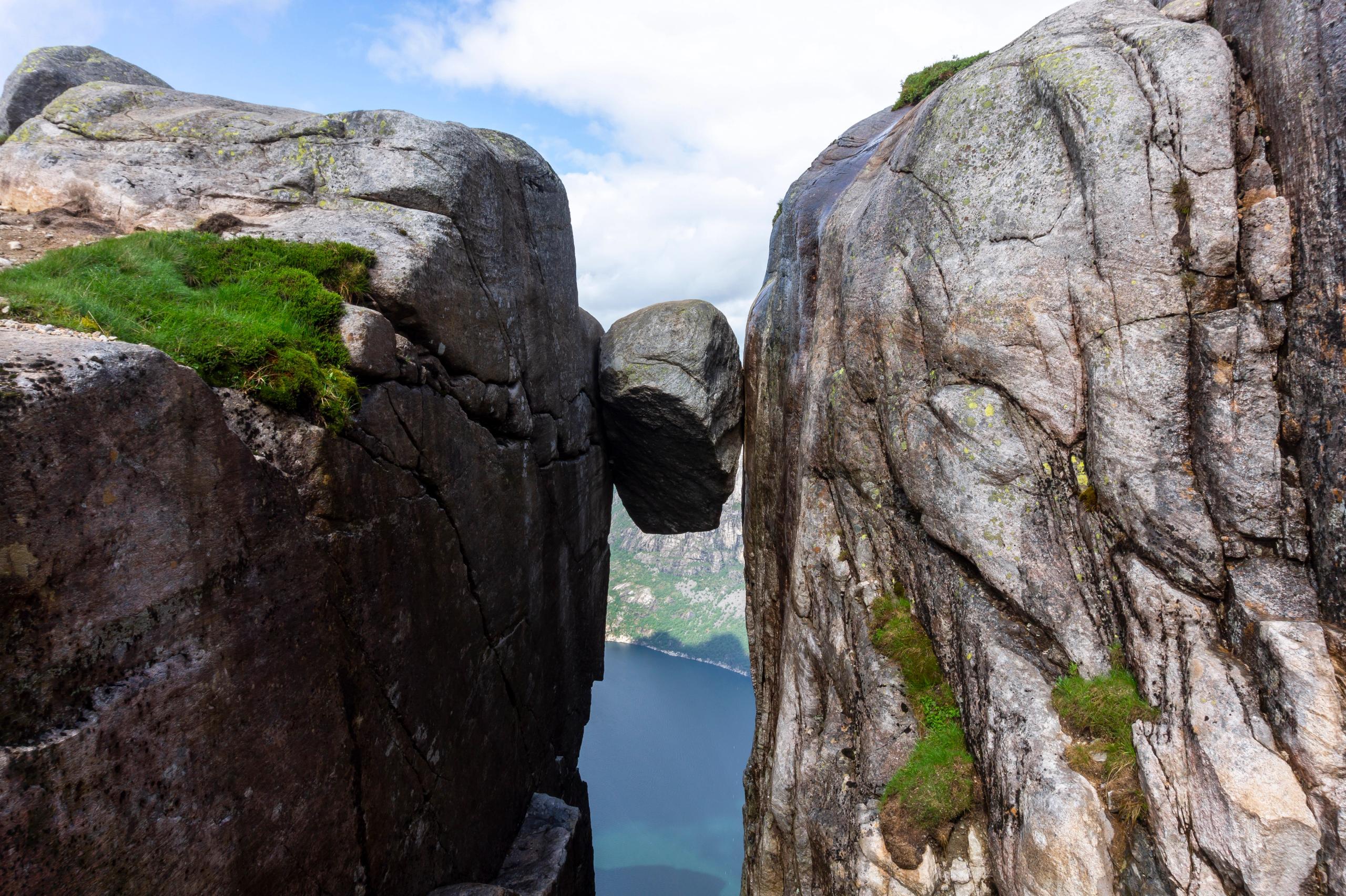 11 Hours ・ June - SeptemberBook now
Kjerag express bus tour
Our bus offers easy access to KjeragHike to the Kjerag boulder and explore the sight that attracts thrill seekers from all over the world. Our express bus brings you directly from Stavanger to the start of the hiking trail and back. / Go FjordsPrice From 880 NOK All yearBook now
Norway’s camper van rental
Norway’s camper van rentalDo you want to try van life? Explore Norway in comfort and style with our smart and cosy campervans. / Arctic Campers ASPrice From 1 390 NOK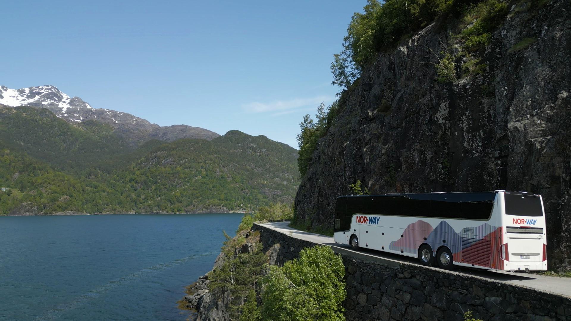 All yearBook now
NOR-WAY Bussekspress
Norway's most comfortable bus journeysEnjoy scenic views on comfortable bus trips to the fjords and from city to city with our express coaches. / NOR-WAY BussekspressPrice From 99 NOK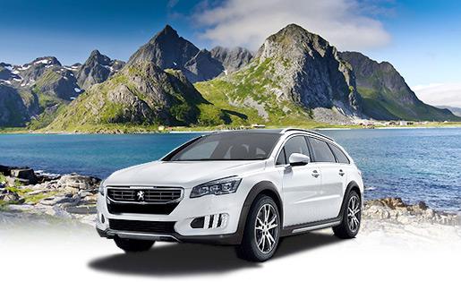 All yearBook now
Auto Europe - car rental
The perfect vehicle for your tripAlways a smooth car rental experience. Search and compare rental rates. Free cancellation up to 24 hours prior to pick-up. Great prices and service since 1954. / Auto EuropePrice From 800 NOK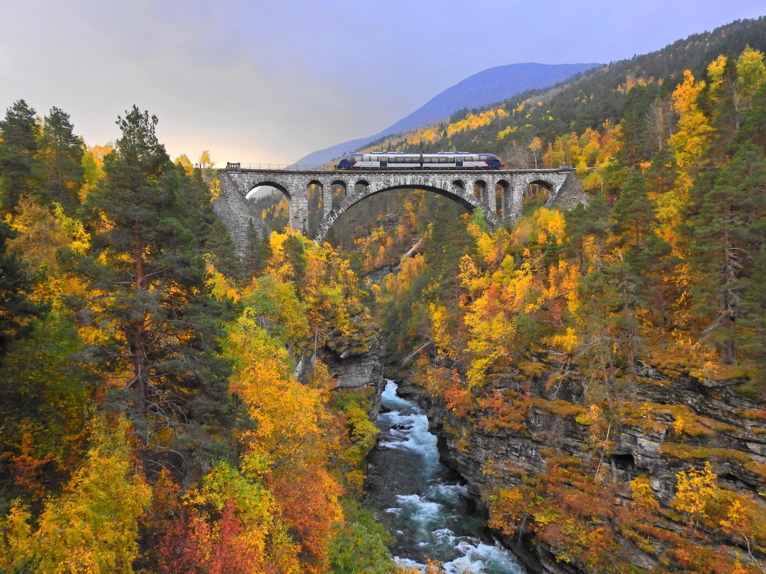 All yearBook now
Train journeys with SJ Nord
Norway's most beautiful train journeysThe adventure starts on the train / SJ NordPrice From 199 NOK All yearBook now
Norwegian - cheap flights
We'll fly you wherever you want to goNorwegian offers cheap flights in Norway and direct flights from more than 70 European airports. Book flights through our low fare calendar to your destinations. / NorwegianPrice From 549 NOK All yearBook now
Rent-A-Wreck - car rental
The smart and affordable car rental alternative.Excellent service at reasonable rates. / Rent-A-Wreck of Scandinavia ASPrice From 790 NOK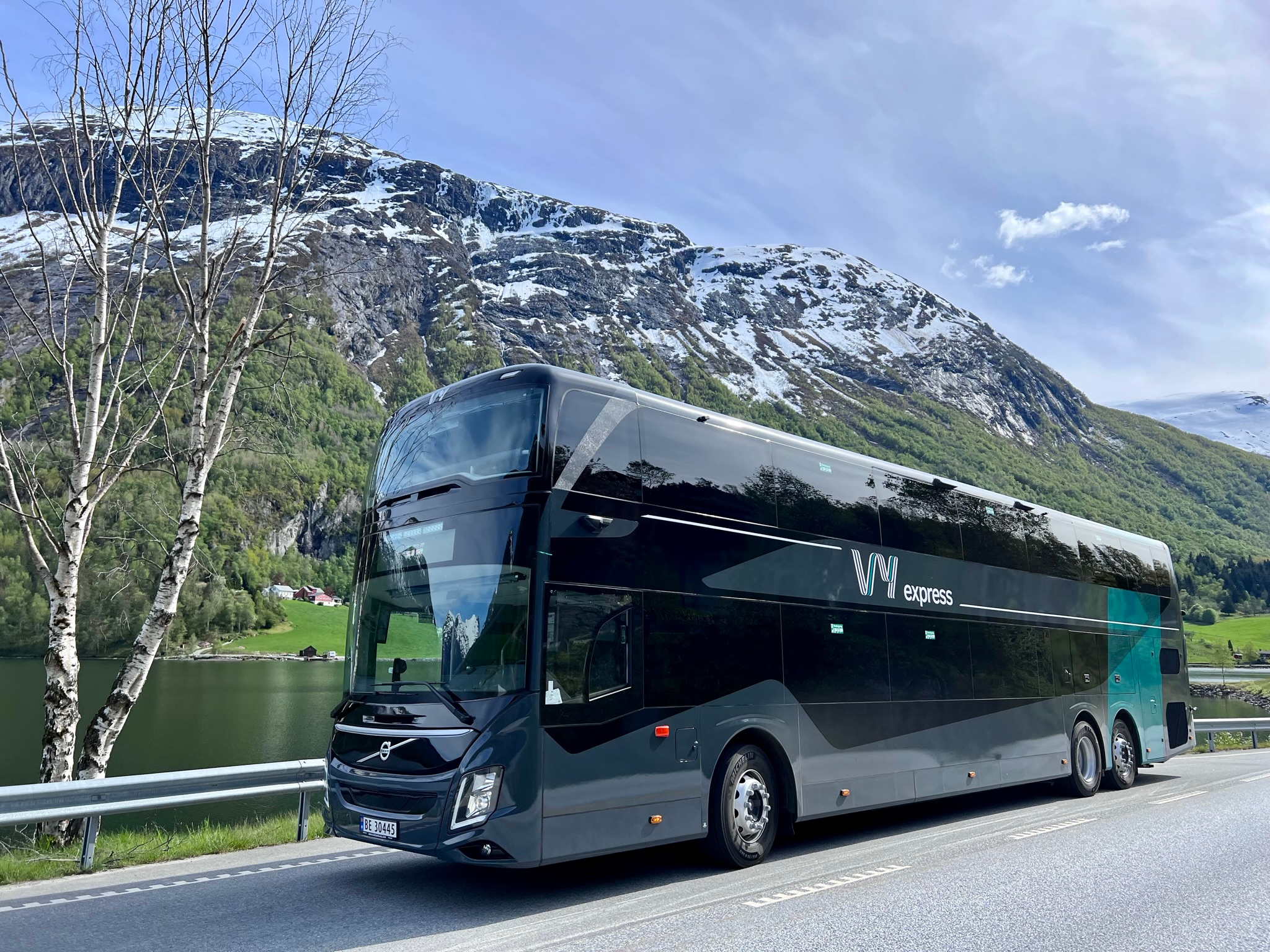 All yearBook now
Travel in comfort with Vy Bus
Travel with bus throughout NorwayDiscover Norway on comfortable express coaches that take you between major cities, mountains, and fjords. / Vy expressPrice From 79 NOK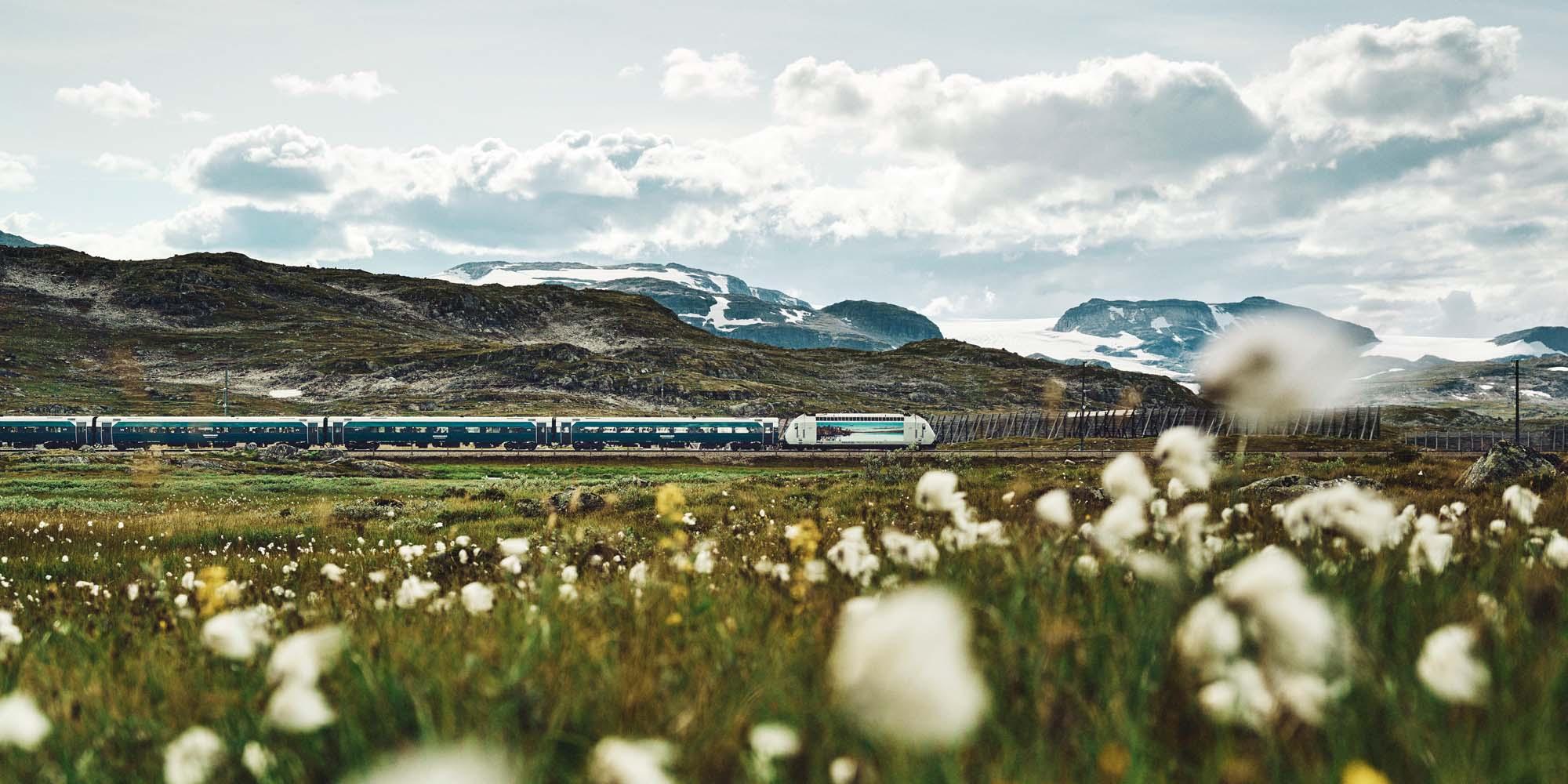 All yearBook now
Traveling by train with Vy
See Norway from the train!Travelling by train has never been easier. Glide through beautiful scenery on a train between Oslo and Bergen on the Bergen Railway and explore the greater Oslo region. / Vy TrainPrice From 44 NOK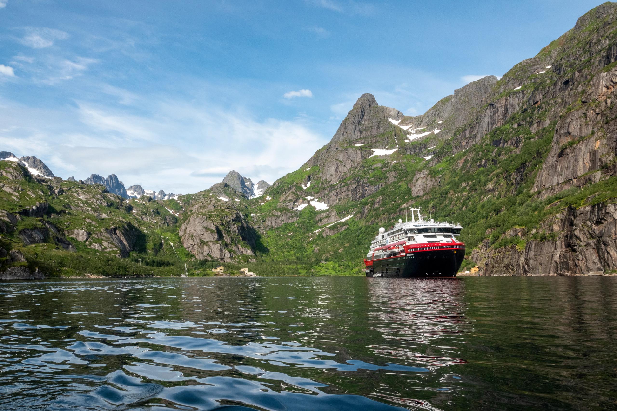 All yearBook now
Cruise with Hurtigruten
The world’s most beautiful sea voyageAre you ready for a once-in-a-lifetime journey along one of the world’s most beautiful coastlines? With Hurtigruten, you can explore everything the Norwegian coast has to offer – from fjords and iconic towns to northern lights and the midnight sun. / HurtigrutenPrice From 1 551 NOK
Take advantage of top offers
See our selection of trusted companies that work hard to make you happy all through your trip.
 Brim ExplorerQuiet fjord tours on award-winning electric catamarans in Oslo, Tromsø, Lofoten, and Svalbard.
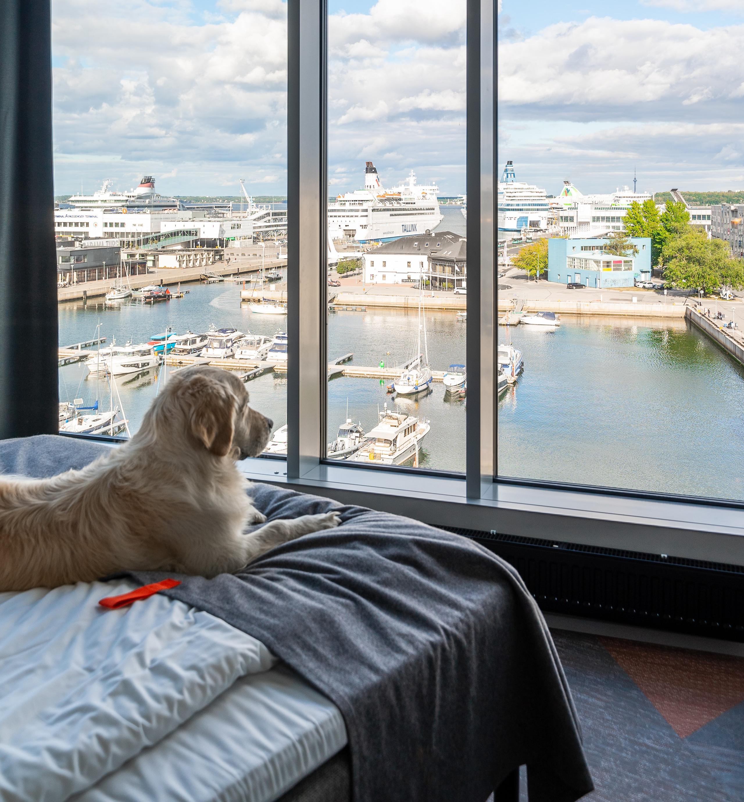 CityboxModern and affordable hotels in central locations in Oslo, Bergen, and Kristiansand.
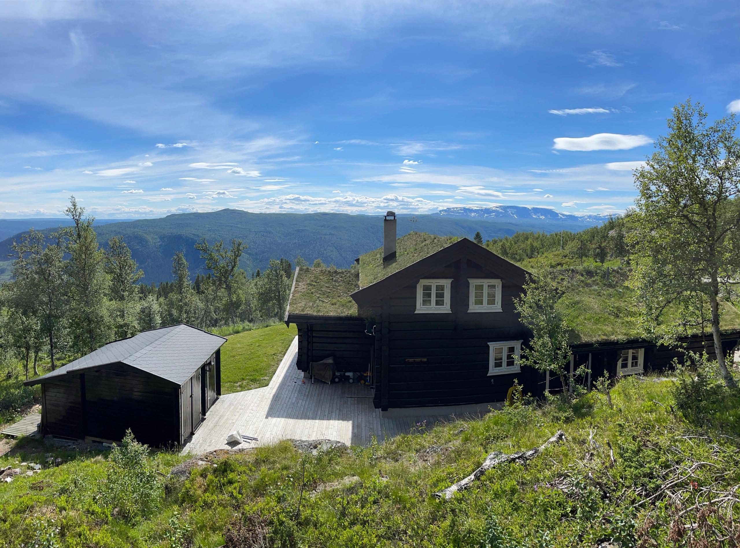 NorgesbookingBook your perfect cabin stay in the fjords, mountains, and valleys of Norway.
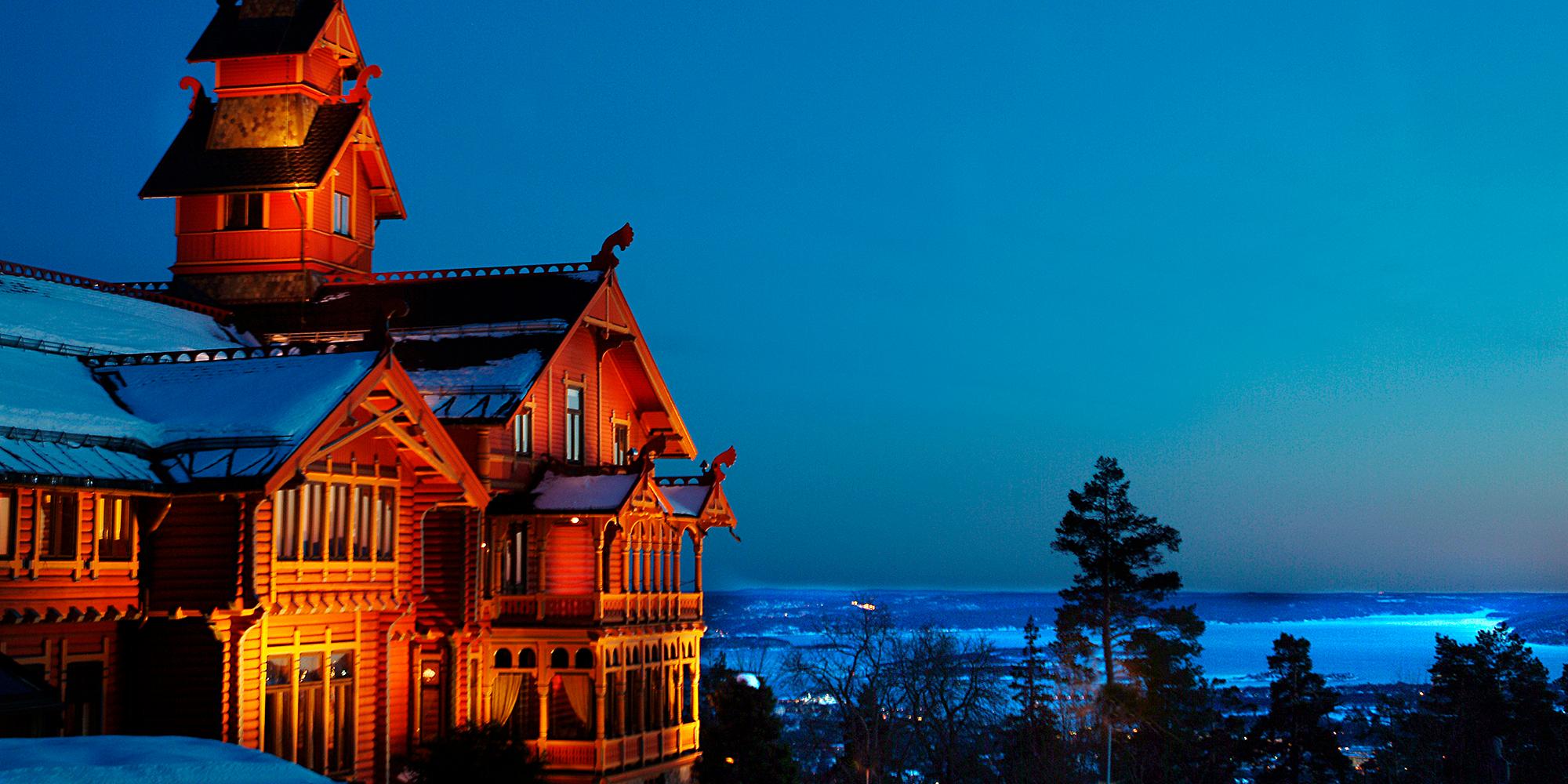 Scandic HotelsExperience Nordic hotel hospitality at its finest at more than 90 hotels across Norway. Special offers are available.
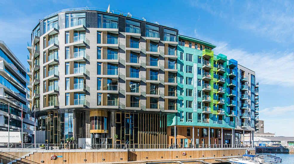 StrawberryA different hotel company! Look out for great weekend deals at more than 100 hotels in Norway.
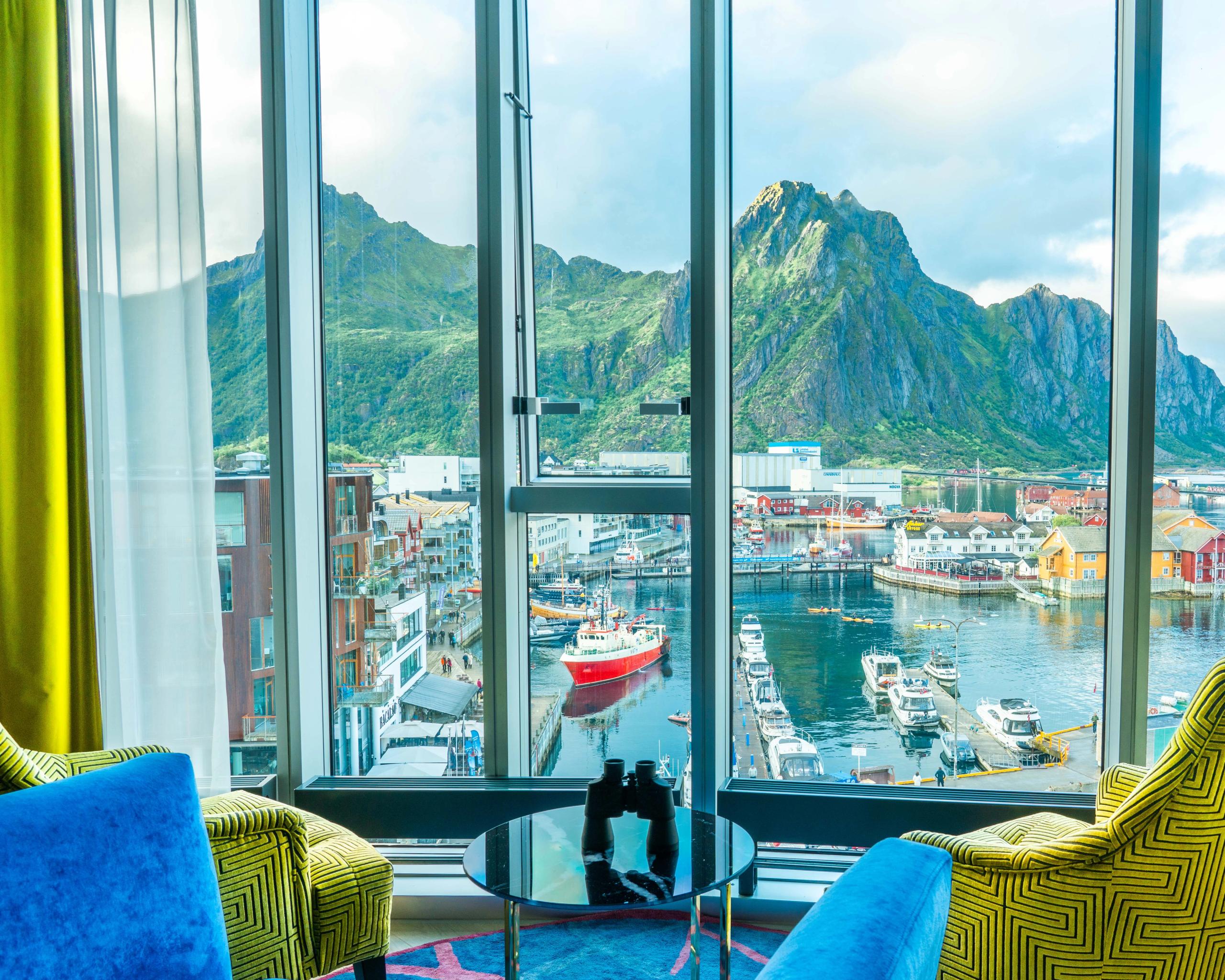 Thon Hotels ASFantastic breakfast included! Experience true comfort and reasonable rates at our 80 hotels in Norway.
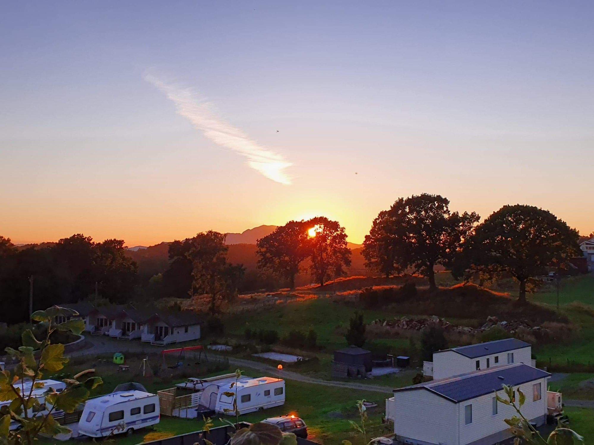 CampcationBook a camping stay in stunning and unique locations all across Norway with Campcation.
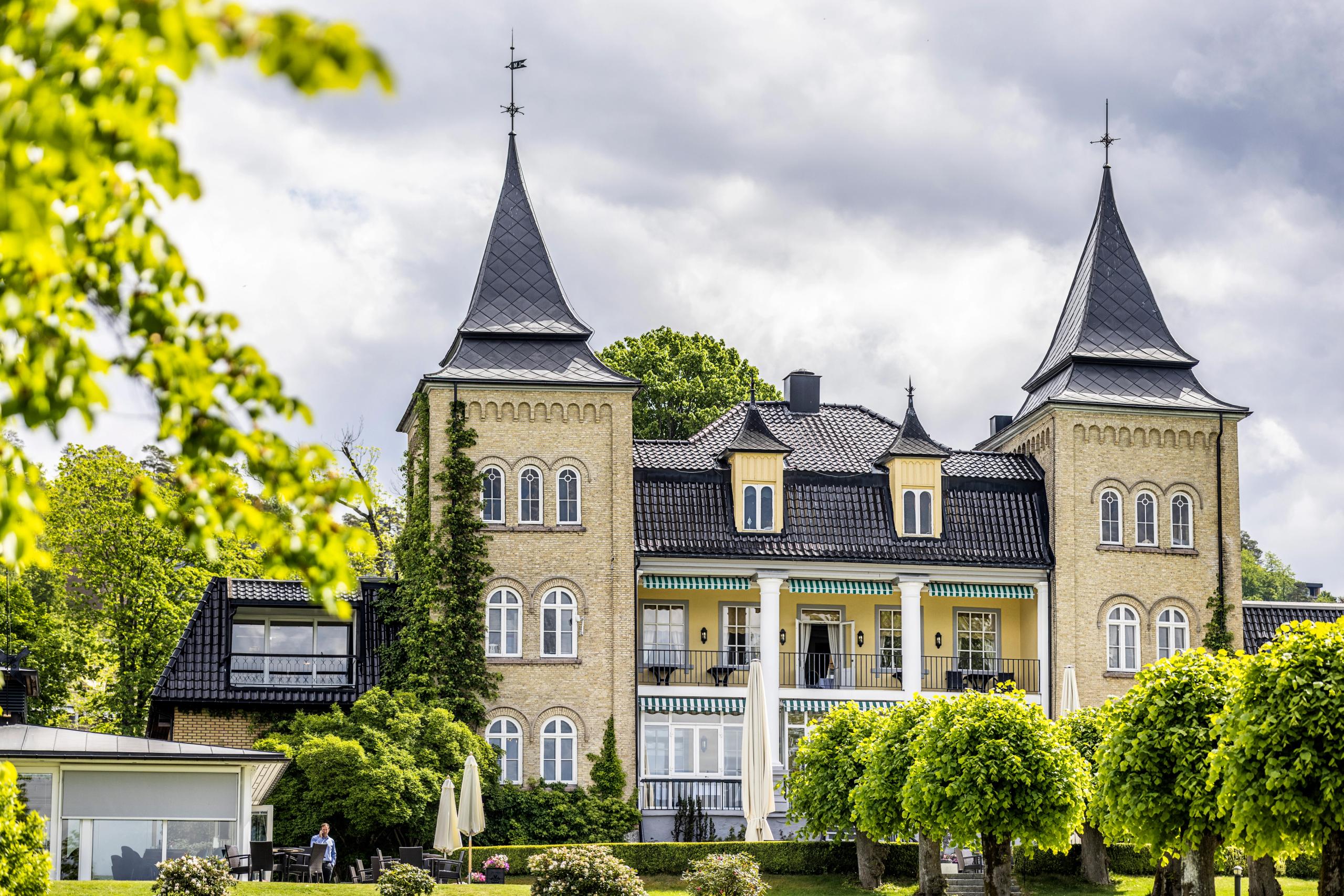 Classic Norway HotelsWhen the hotel is the destination. Book a night to remember in one of Norway's most unique and distinctive hotels.
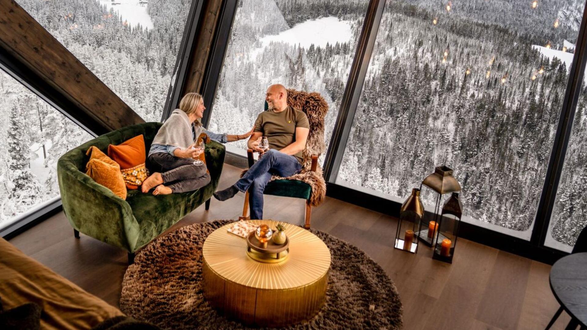 50 Degrees North NordicChoose between unforgettable tailormade individual trips and small, exclusive group tours of Norway.
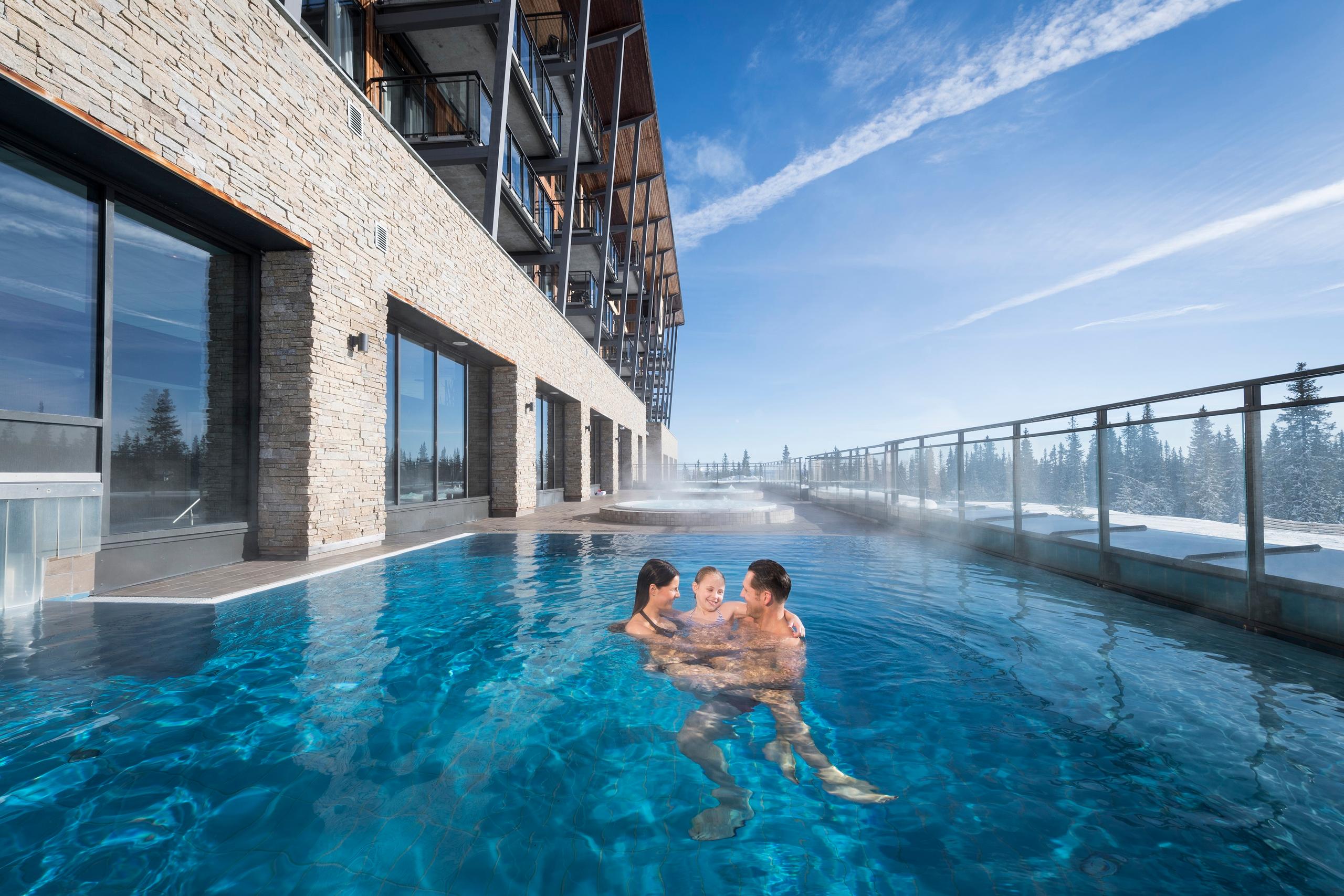 Radisson HotelsGreat value offers and comfortable quality stays in Norway´s major cities, airports, and ski resorts.
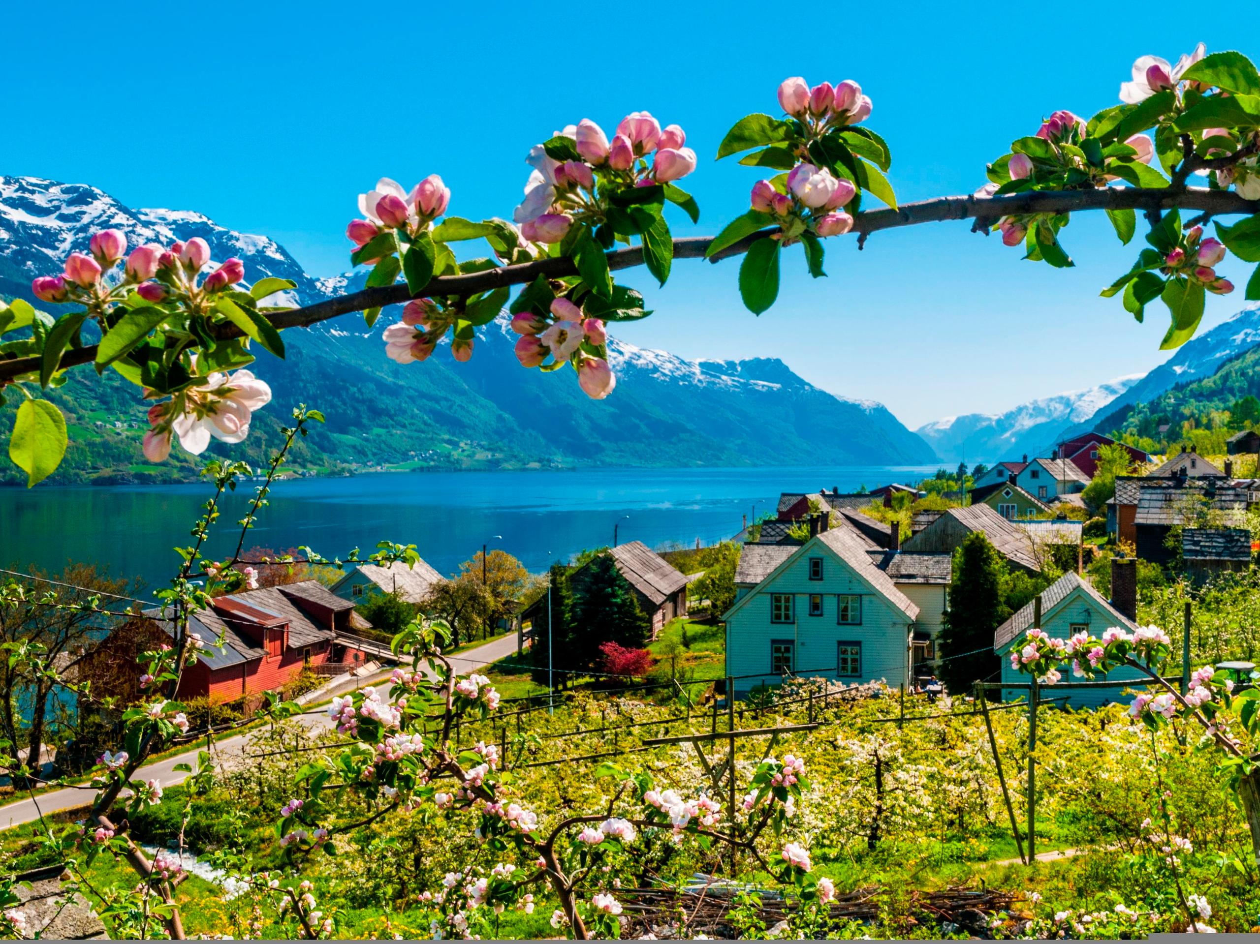 Authentic ScandinaviaTravel curated by locals. Our tailormade tours suit every type of traveller and budget.
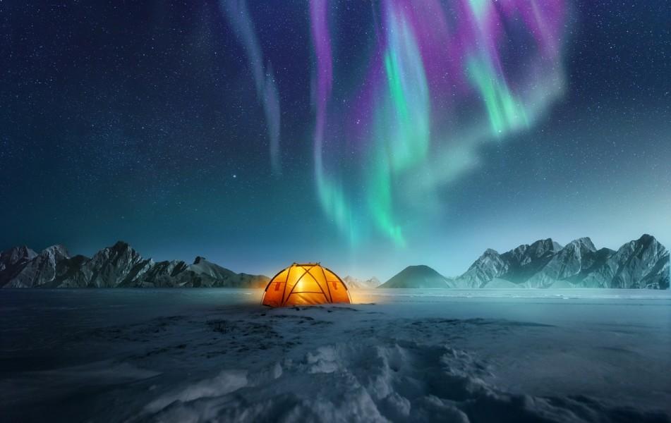 Booknordics.comUnique holiday packages, adventure hotels, tours, and activities.
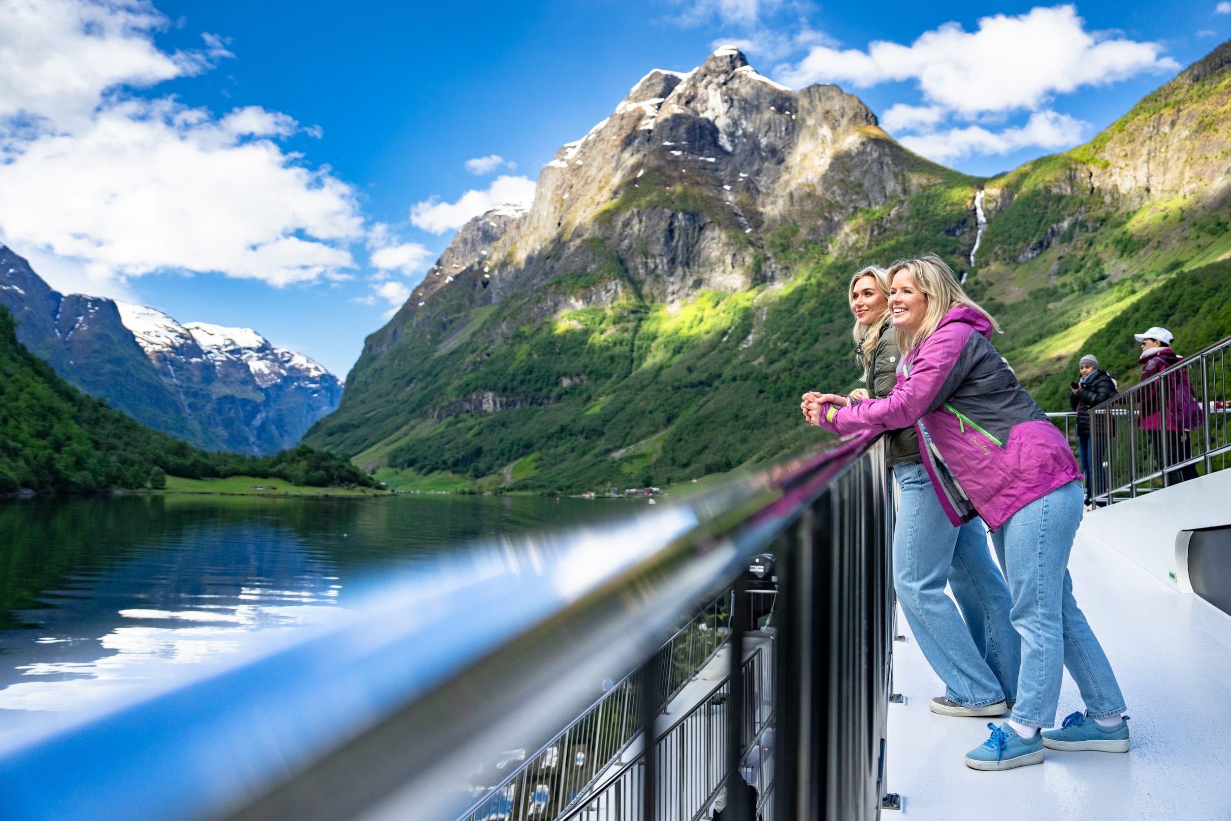 Fjord ToursHome of Norway in a Nutshell, Norway's most popular tour. Fjords, mountains, and stunning destinations — all in one trip!
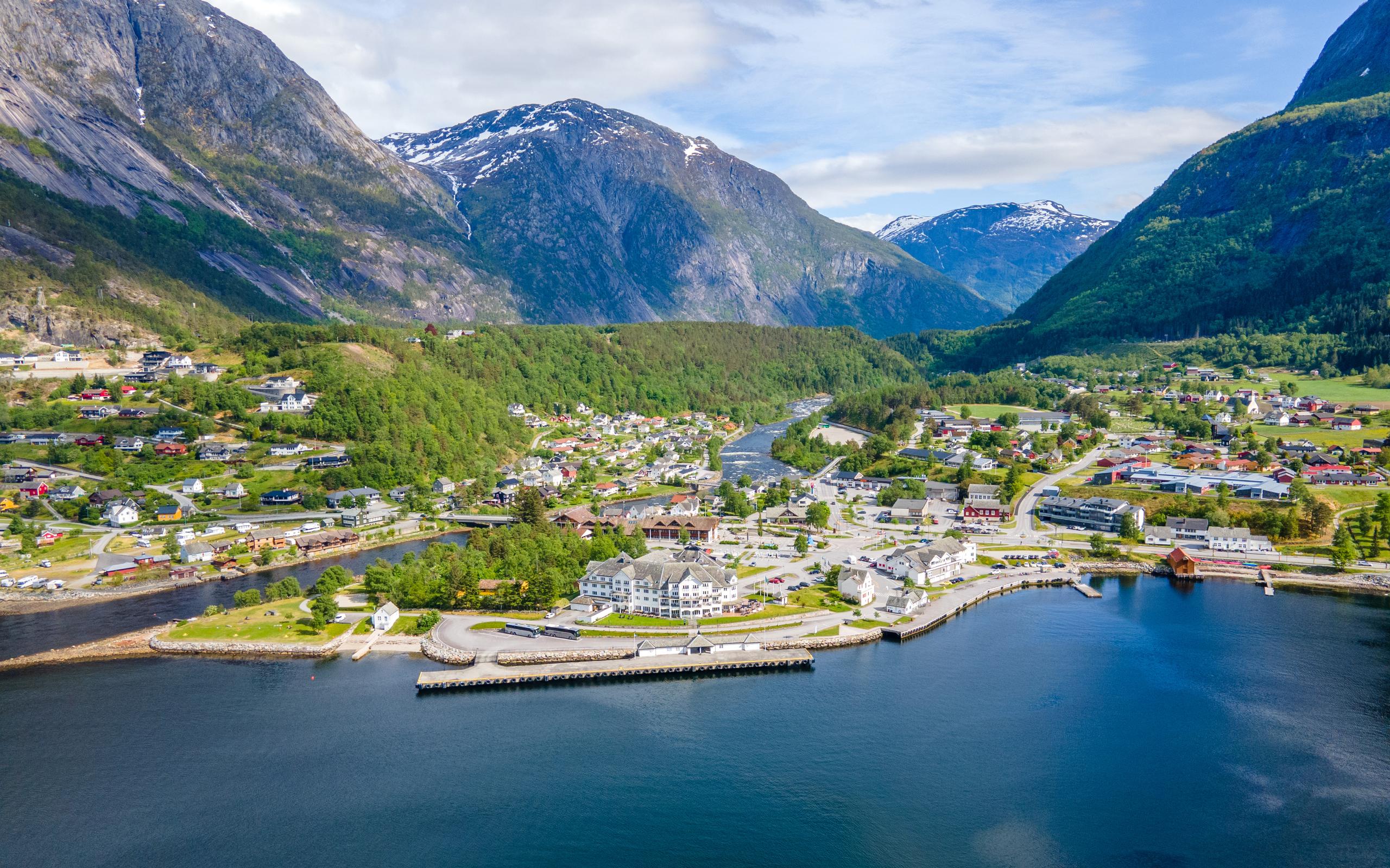 Go FjordsBook fantastic tours and experiences! We offer tours in Oslo, Bergen, Stavanger, Lofoten, the North Cape, and more.
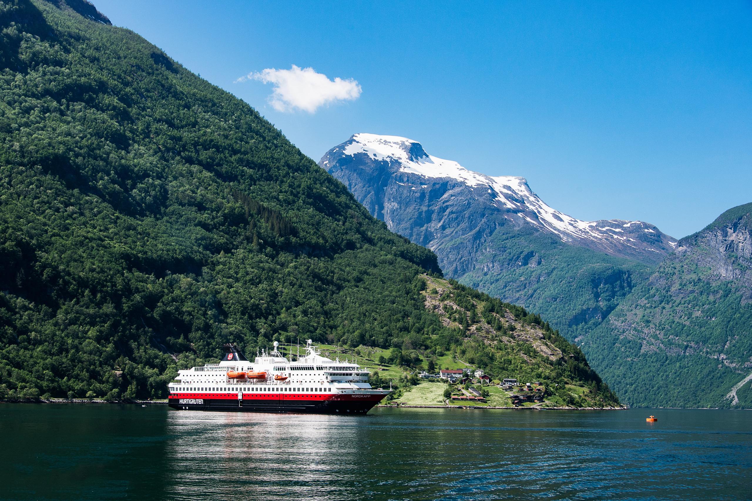 HurtigrutenExperience the world's most beautiful sea voyage on an unforgettable cruise along the stunning Norwegian coast.
 Norrøna AdventureGet ready for expeditions and adventure holidays with Norrøna Adventure. Hiking, skiing, and biking trips.
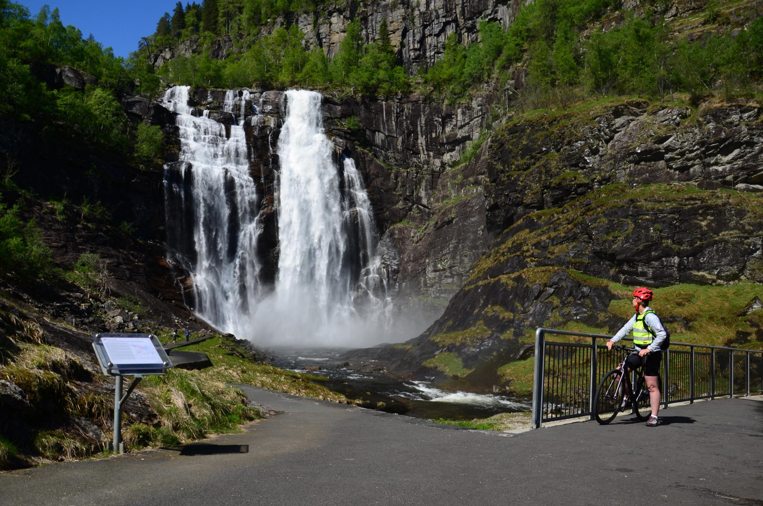 Discover NorwayOffers a range of exciting self-guided hiking, biking, and skiing holidays in Norway. Luggage transfer included.
 Norwegian HolidaysLow-price package holidays with Norwegian. Book your flight, hotel, and rental car all in one place.
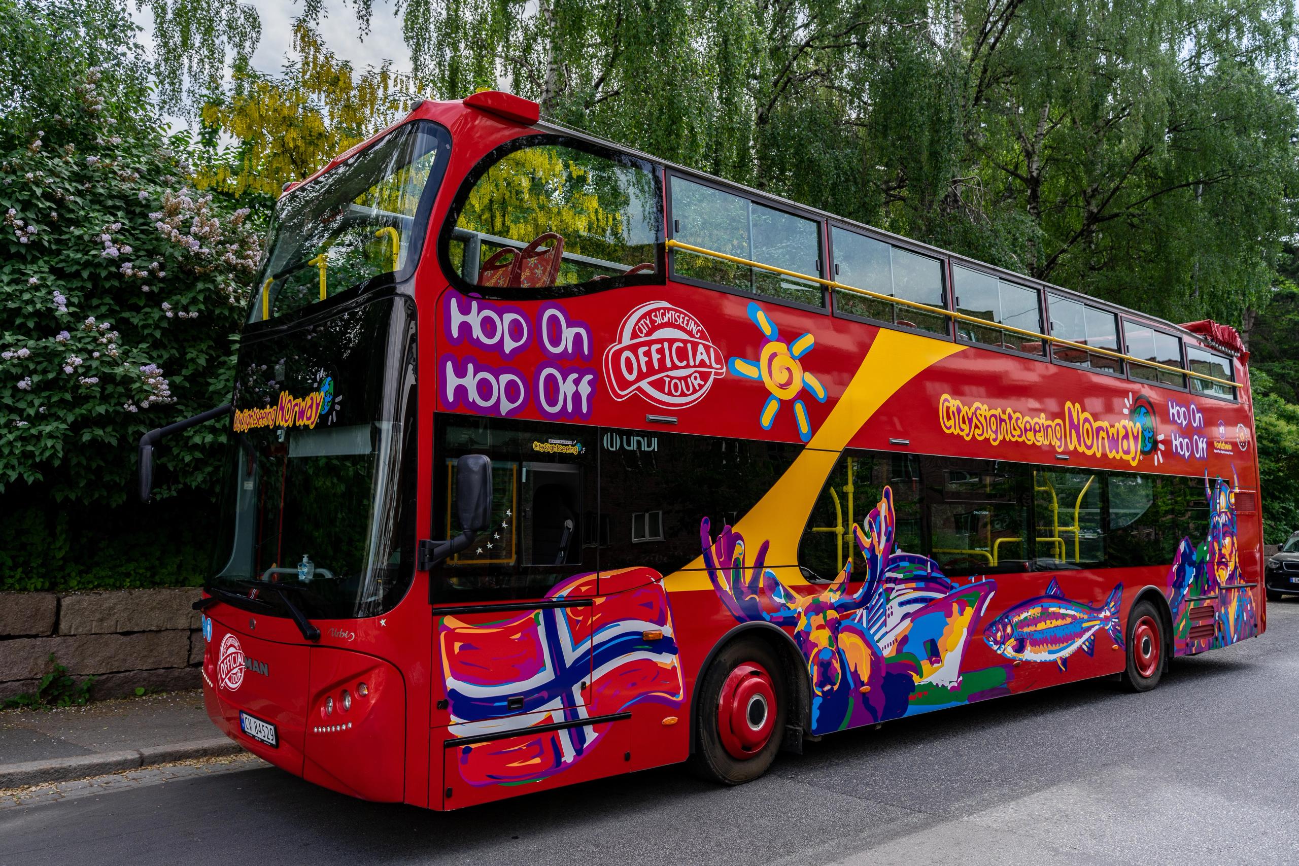 StrömmaSightseeing by bus and boat in several major tourist spots and cities in Norway.
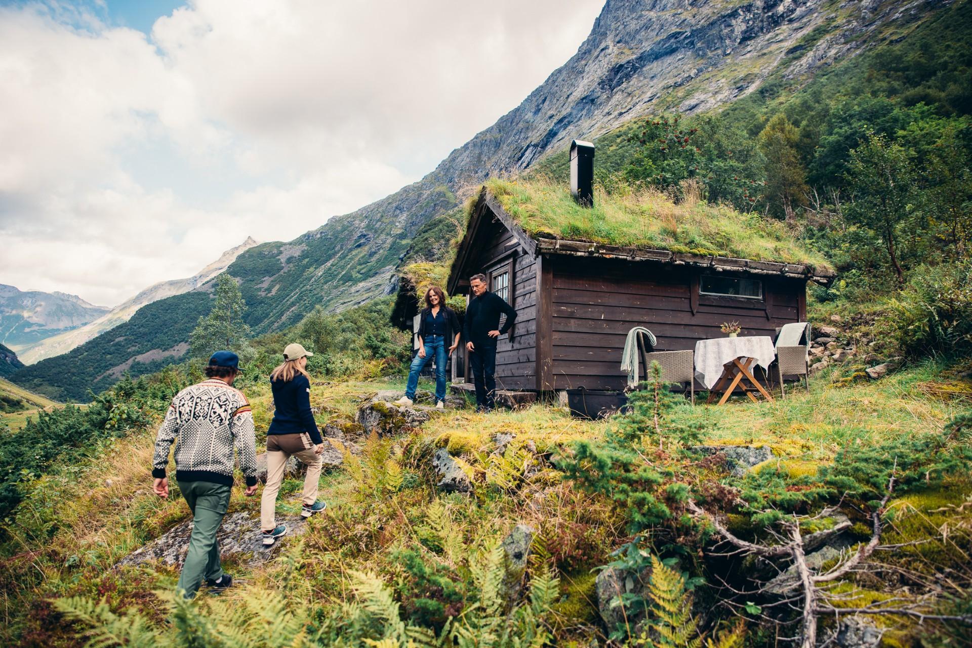 Up NorwayBespoke luxury hand-picked by local experts. We combine your preferences and our knowledge to make an unforgettable journey.
 Arctic Campers ASDo you want to try van life? Explore Norway in comfort and style with our smart and cosy campervans.
 Auto EuropeAlways a smooth car rental experience. Search and compare rental rates. Free cancellation up to 24 hours prior to pick-up.
 NOR-WAY BussekspressEnjoy scenic views on comfortable bus trips to the fjords and from city to city with our express buses.
 Rent-A-Wreck of Scandinavia ASThe smart and affordable car rental alternative.
 SJ NordSJ NORD - the adventure starts on the train
 Vy expressDiscover Norway on comfortable express buses that take you between major cities, mountains, and fjords.
 Vy TrainGlide through scenery on a train between Oslo and Bergen on the Bergen Railway and explore the greater Oslo region.
 My Nordic TravelChoose between DIY itineraries and pre-packaged holidays to the very best destinations in Norway.
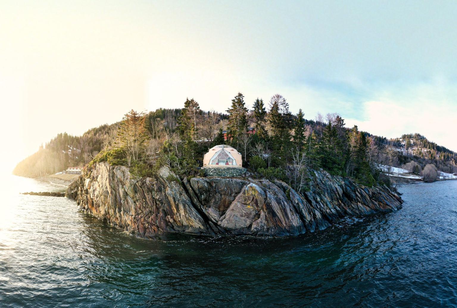 CampanyonUnique camping in nature. Book a stay in a treehouse or glamping tent or rent a motorhome pitch.
 NorwegianNorwegian offers cheap flights in Norway and direct flights from more than 70 European destinations. Book flights through our low fare calendar to your destinations.
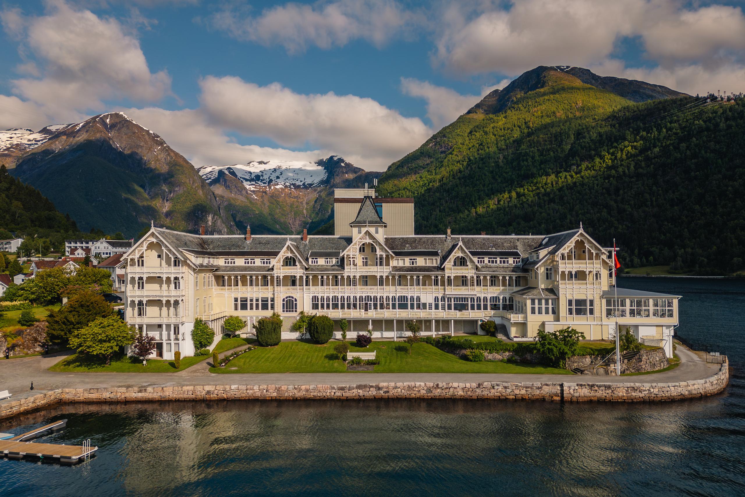 De HistoriskeHave an unforgettable stay at one of Norway's unique, authentic historic hotels. Enjoy first-class dining experiences and a broad range of activities.
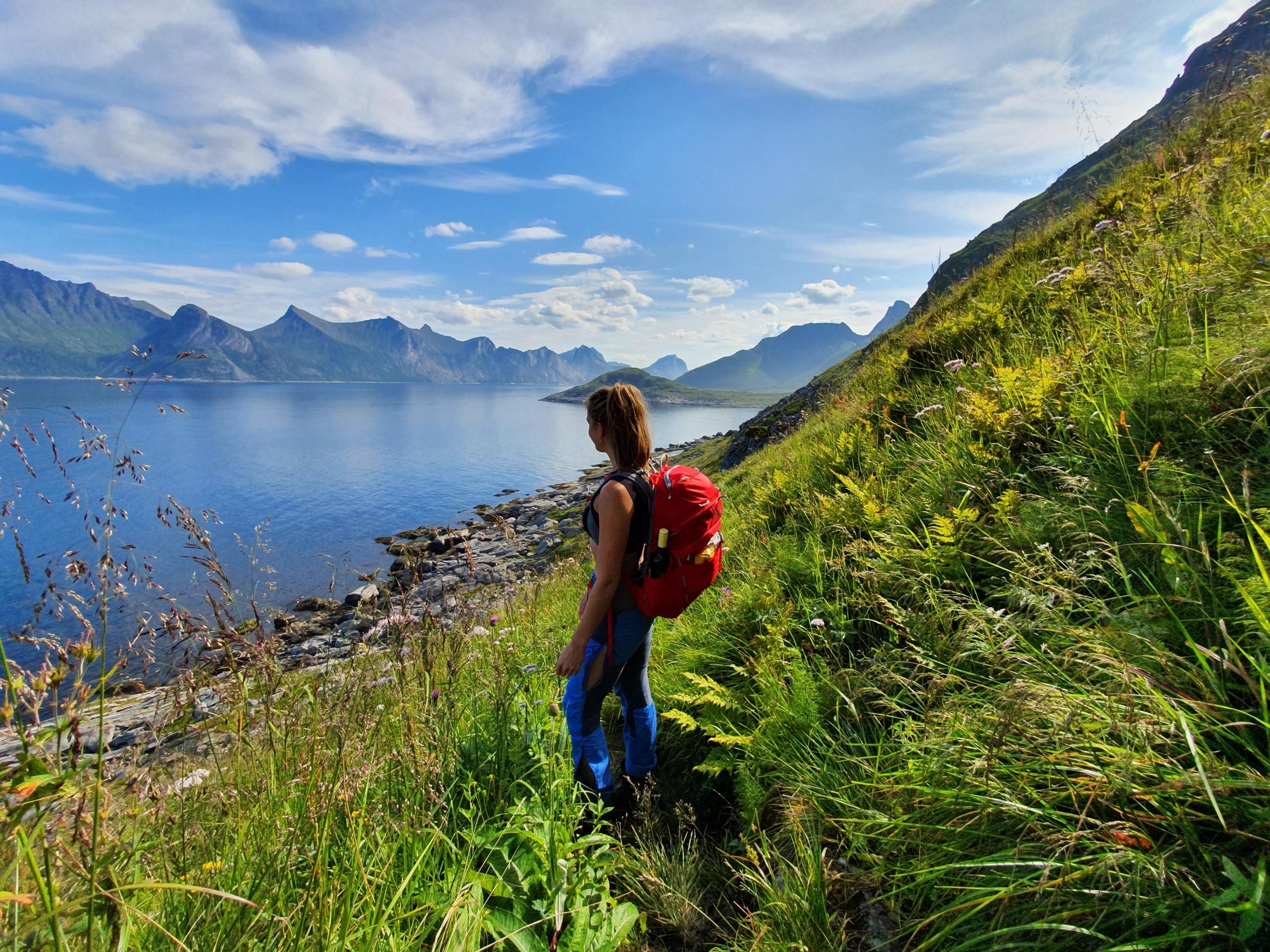 CampioNorway's biggest camping booking site. Find the best camping and motorhome pitches throughout Norway.