Experience the Norwegian Scenic Route Jæren. It's the ultimate coastal drive, with sandy dunes and pebbly shores, sparkling sea views, charming lighthouses, and cultural heritage!
Norwegian Scenic
Route Jæren
Journey through distinctive cultural landscapes and idyllic coastal towns along the North Sea
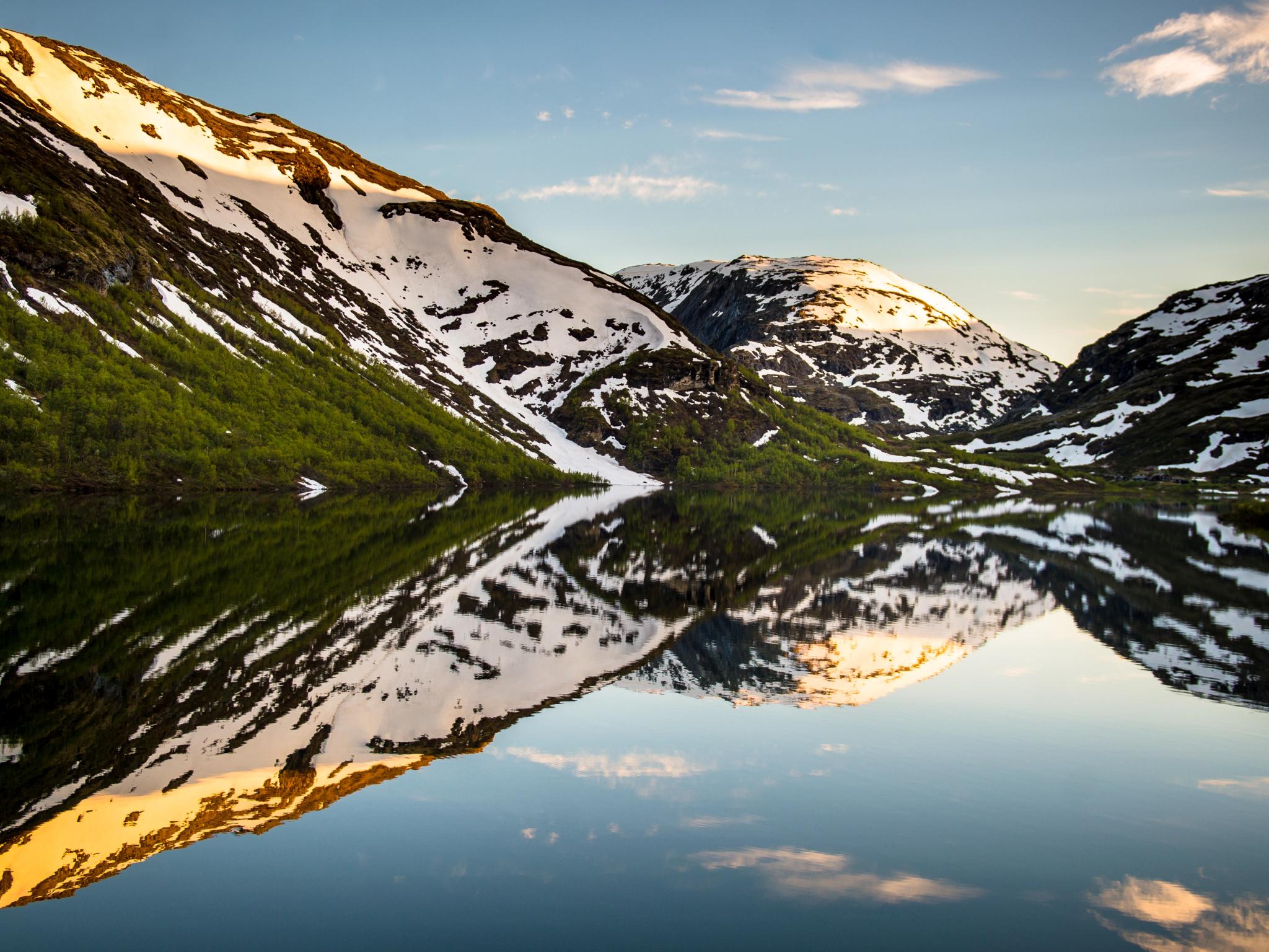
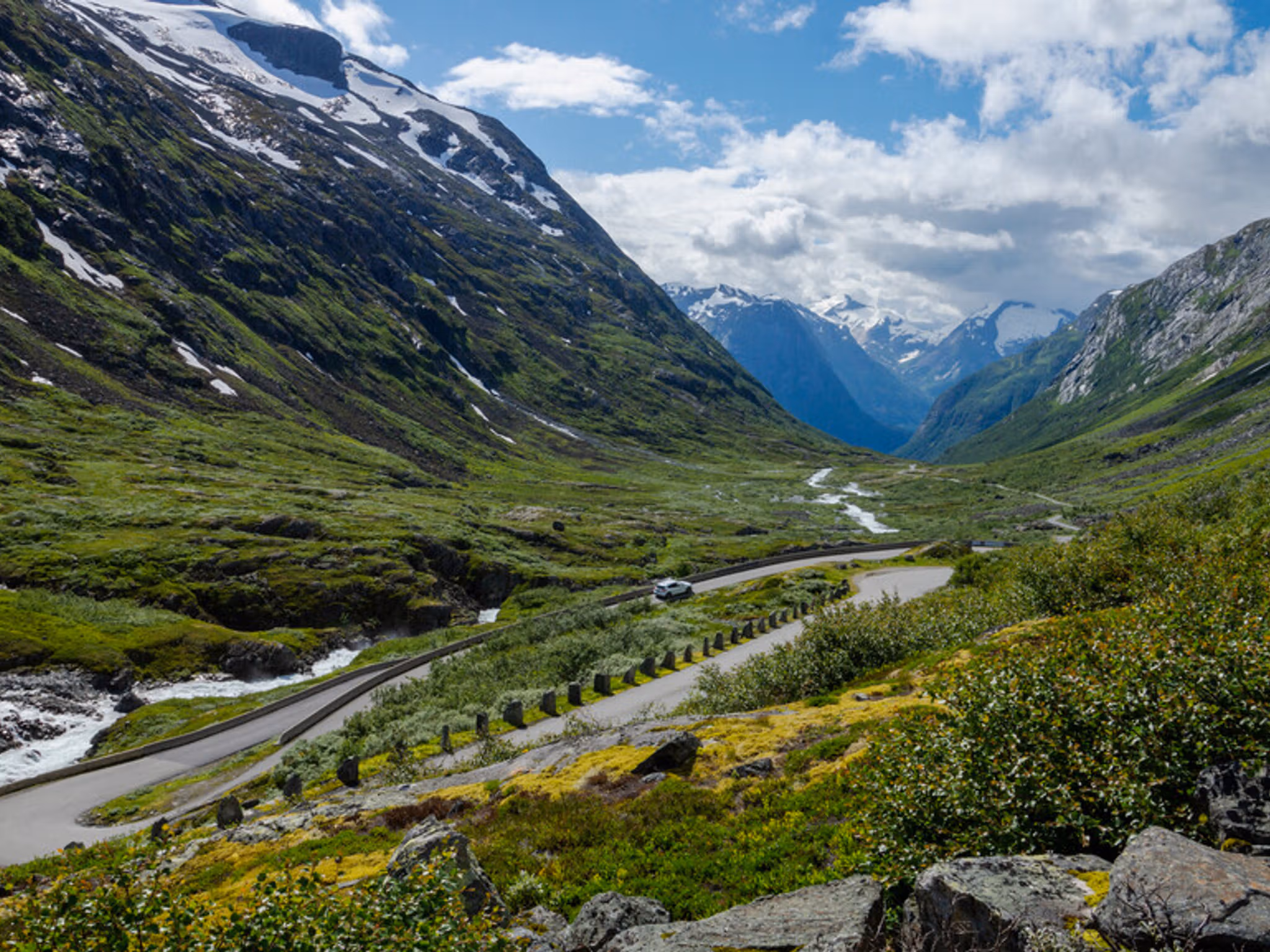
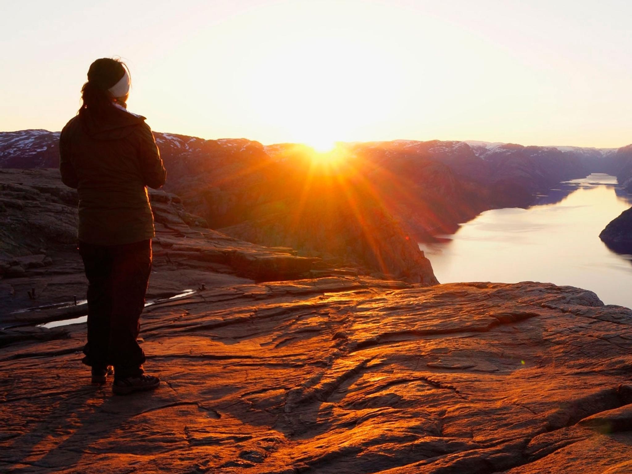
One of 18 Norwegian Scenic Routes, the Jæren coastal route offers something really special that's far different from typical Norwegian scenery!
The 130-kilometre long Norwegian Scenic Route Jæren runs between Bore, near Sandnes in Western Norway, and Flekkefjord in Southern Norway.
If you're travelling the route from north to south, the journey starts in Bore, just half an hour from Stavanger in Western Norway. For the best experience, you might want to take your time along some of the smaller side roads, as well as make a few stops along the way.
The route can be completed in one day, but we recommend spending a few days in the area in order to explore these extraordinary surroundings at a more leisurely pace.
The route is situated in Norway's southwestern corner, a 5.5 hour drive from Oslo to Flekkefjord, the southern starting point for the route. From Kristiansand, it takes about 1.5 hours by car. From Bergen it will take you a little less than 5 hours to Bore, the northern starting point.
If you want to get there even faster, you can fly to Stavanger and rent a car. The starting point for the route is right beside the airport!
Here are our top recommended stops along Scenic Route Jæren:
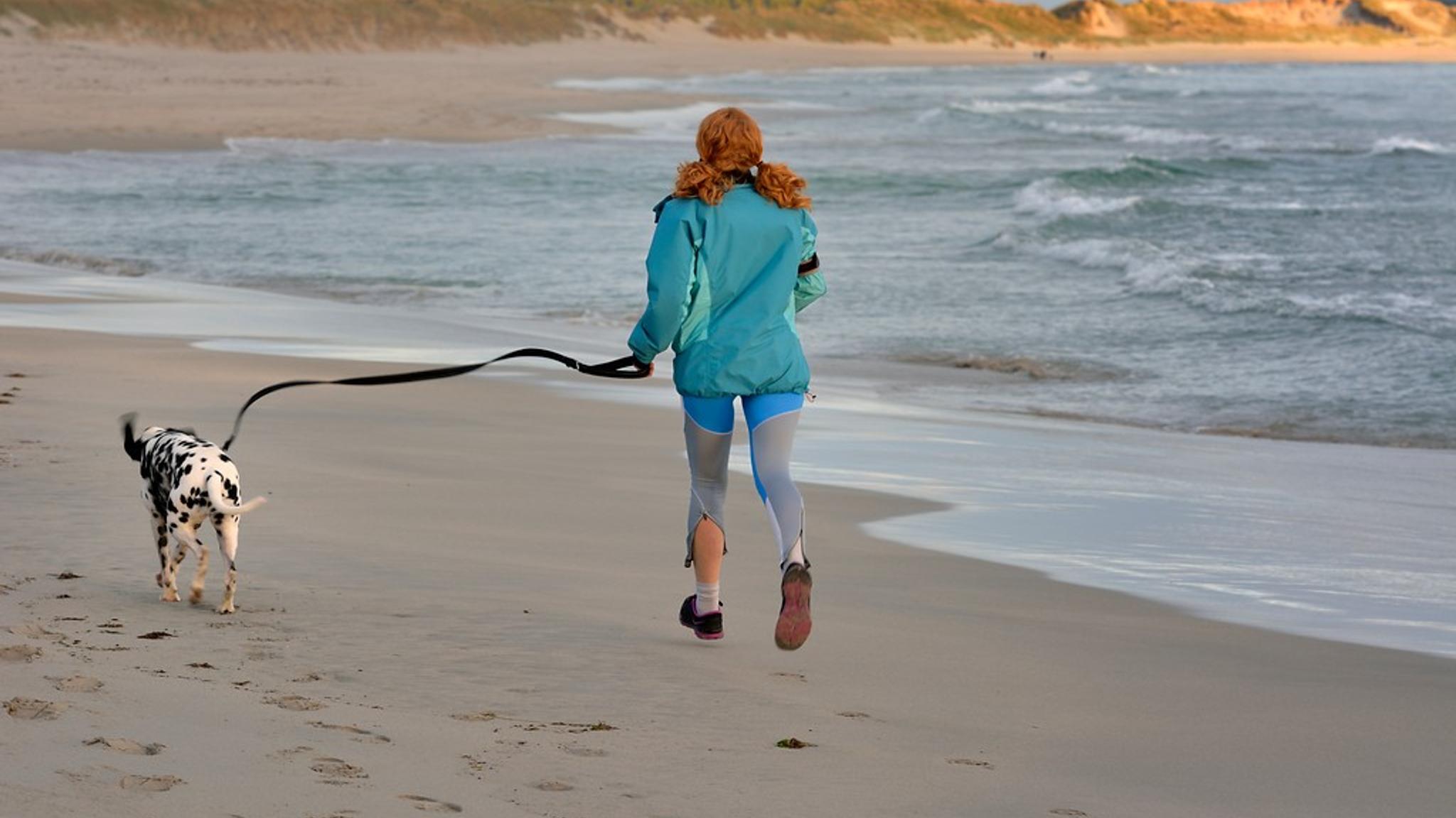
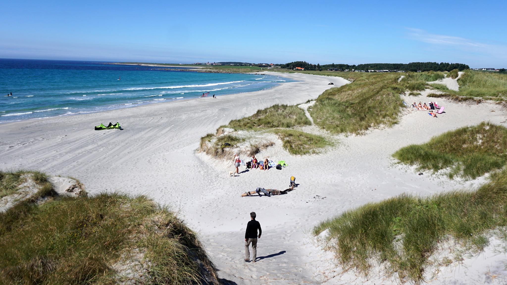
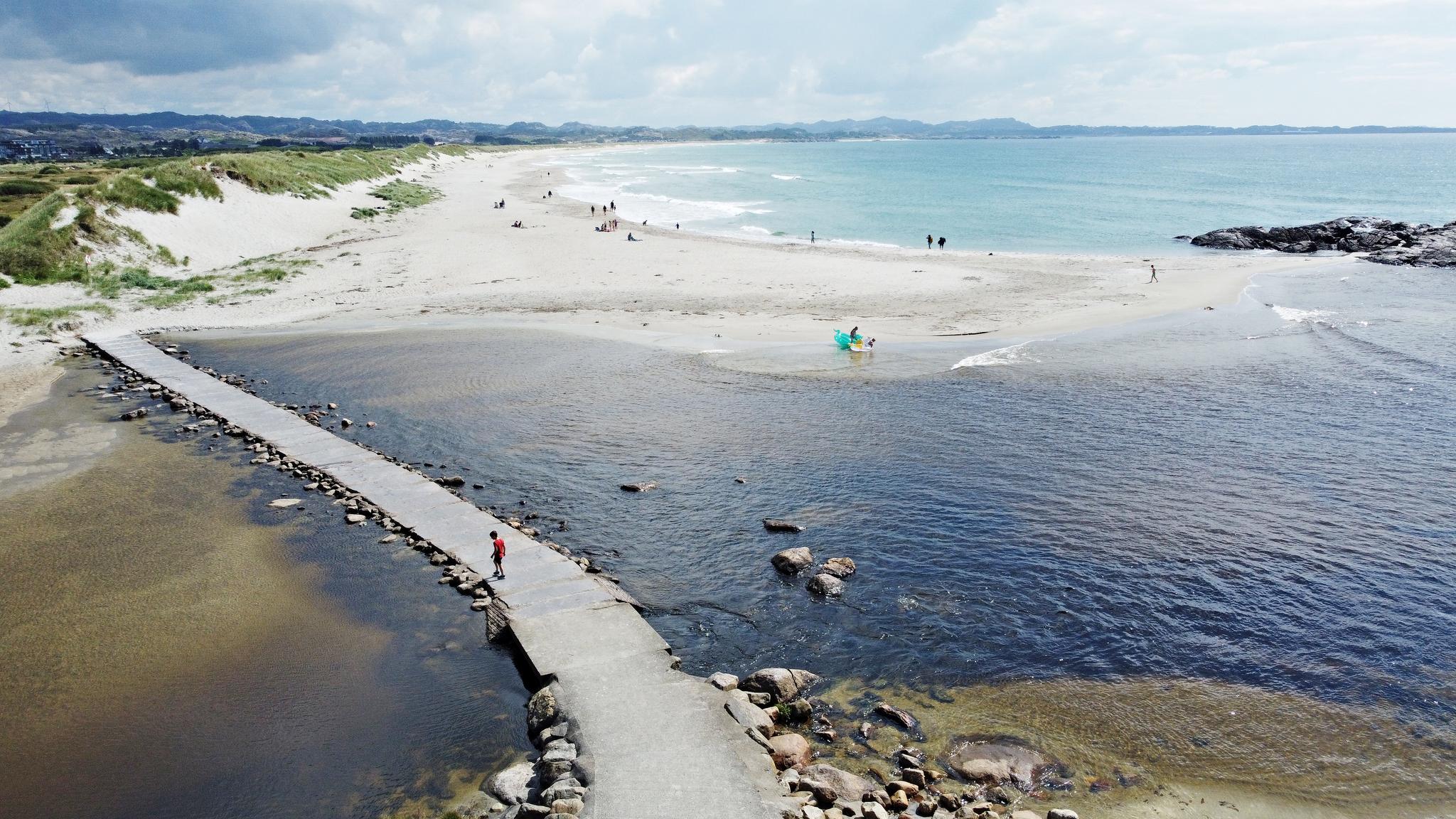
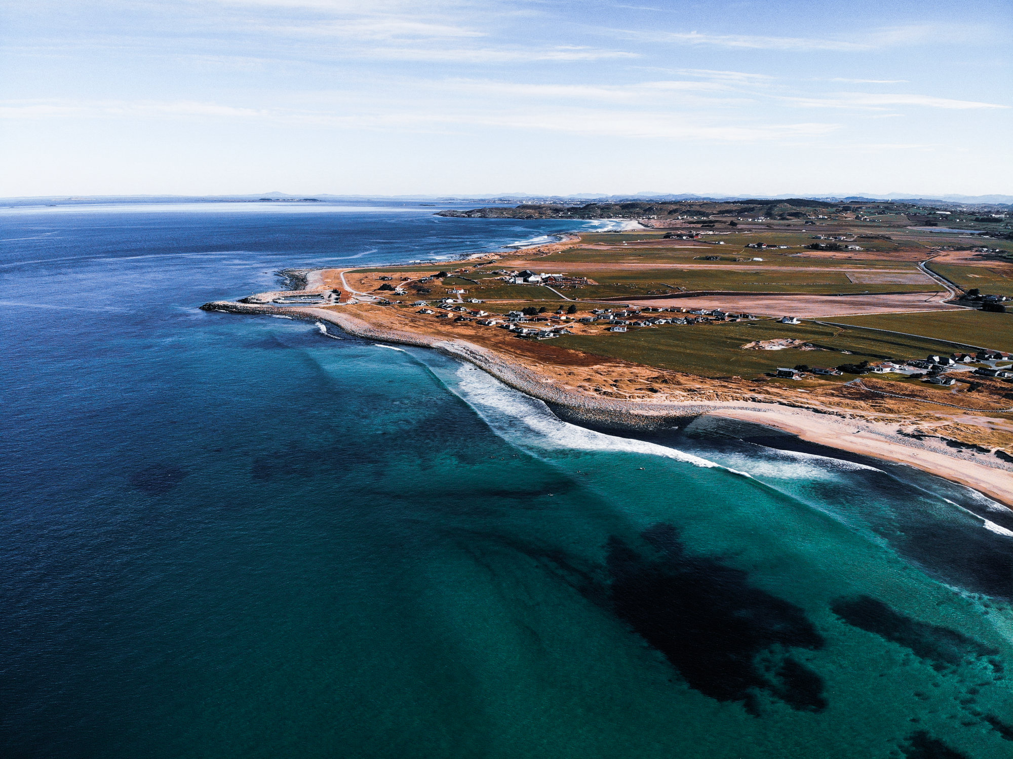
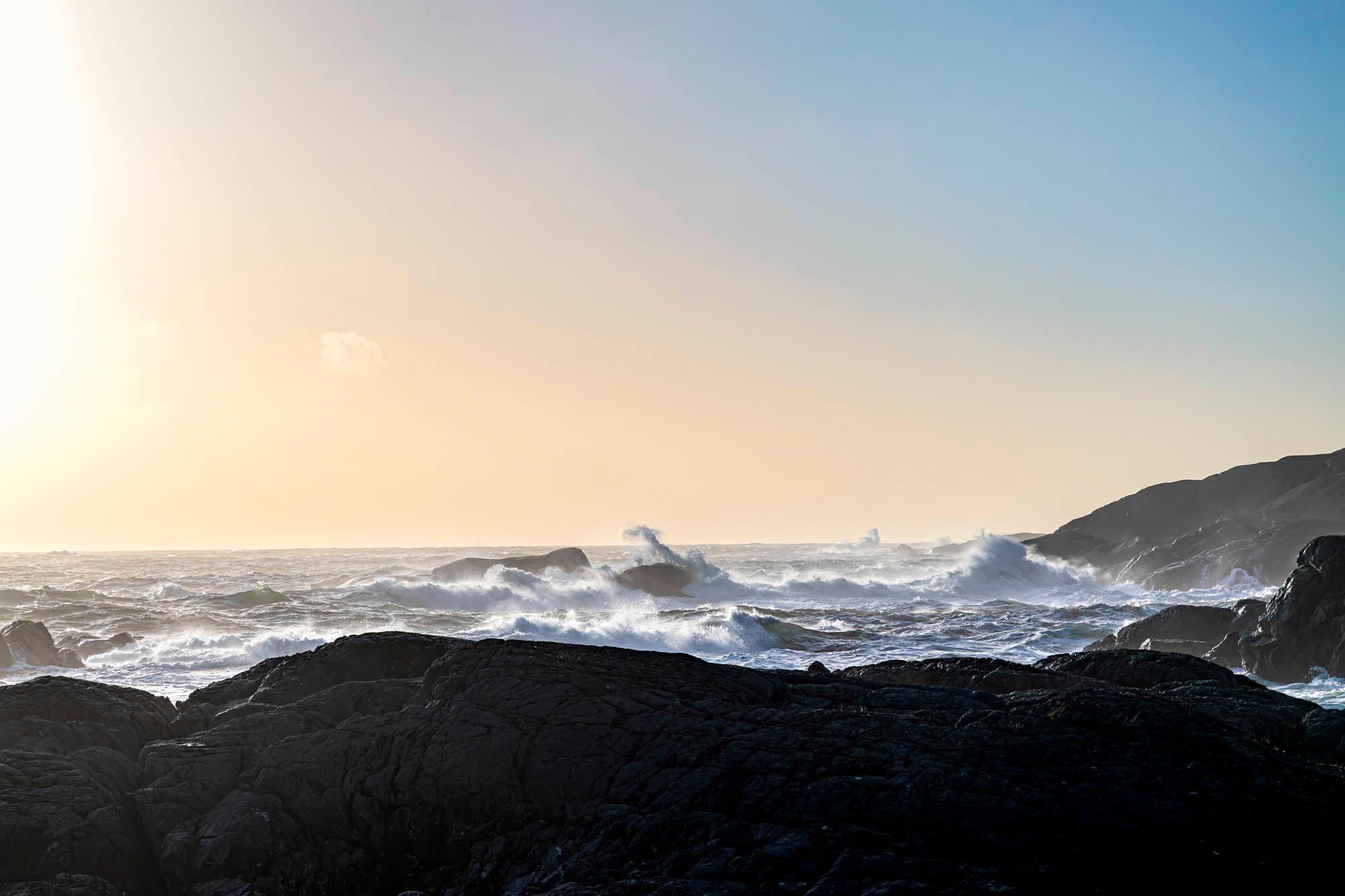
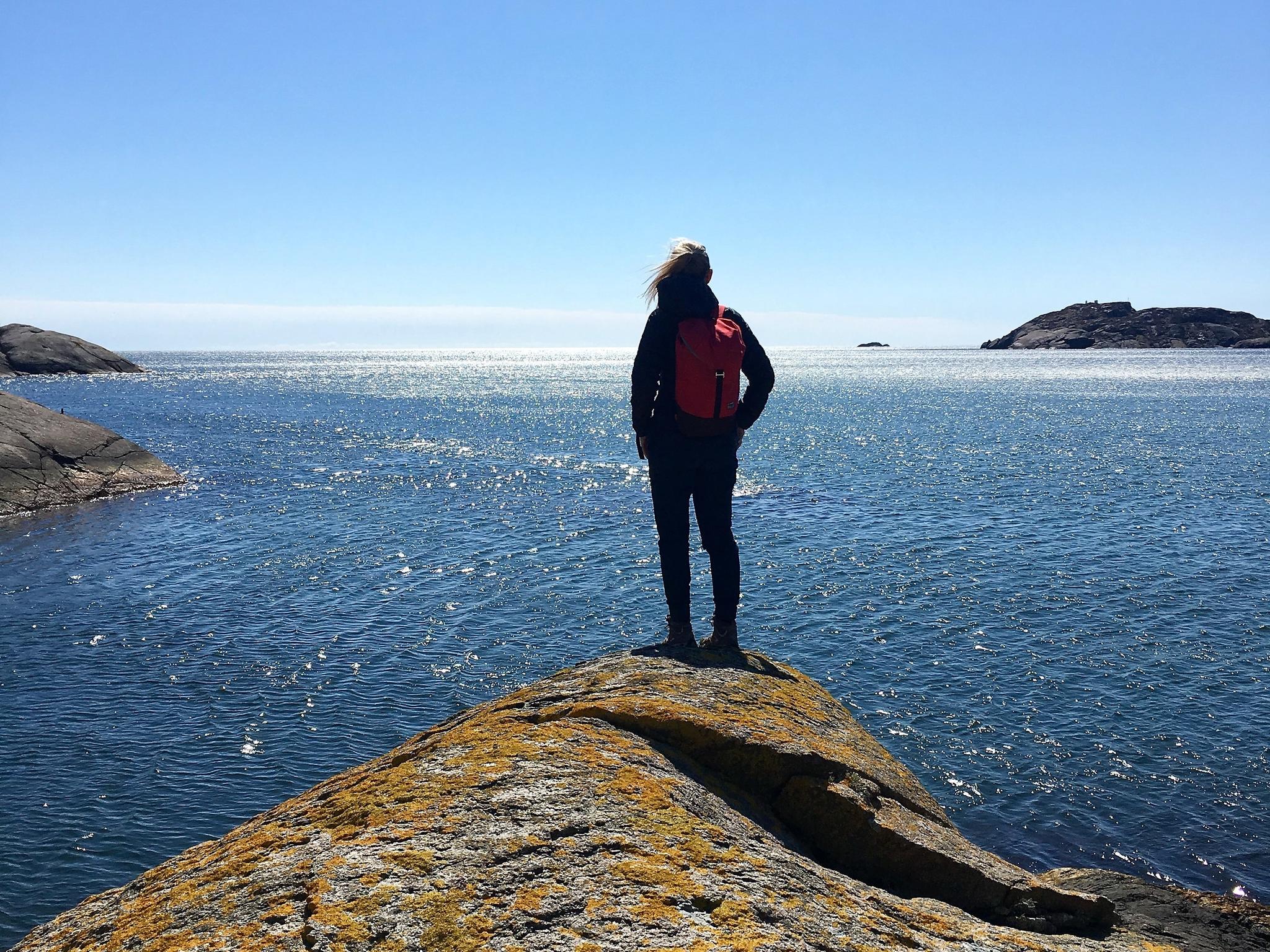
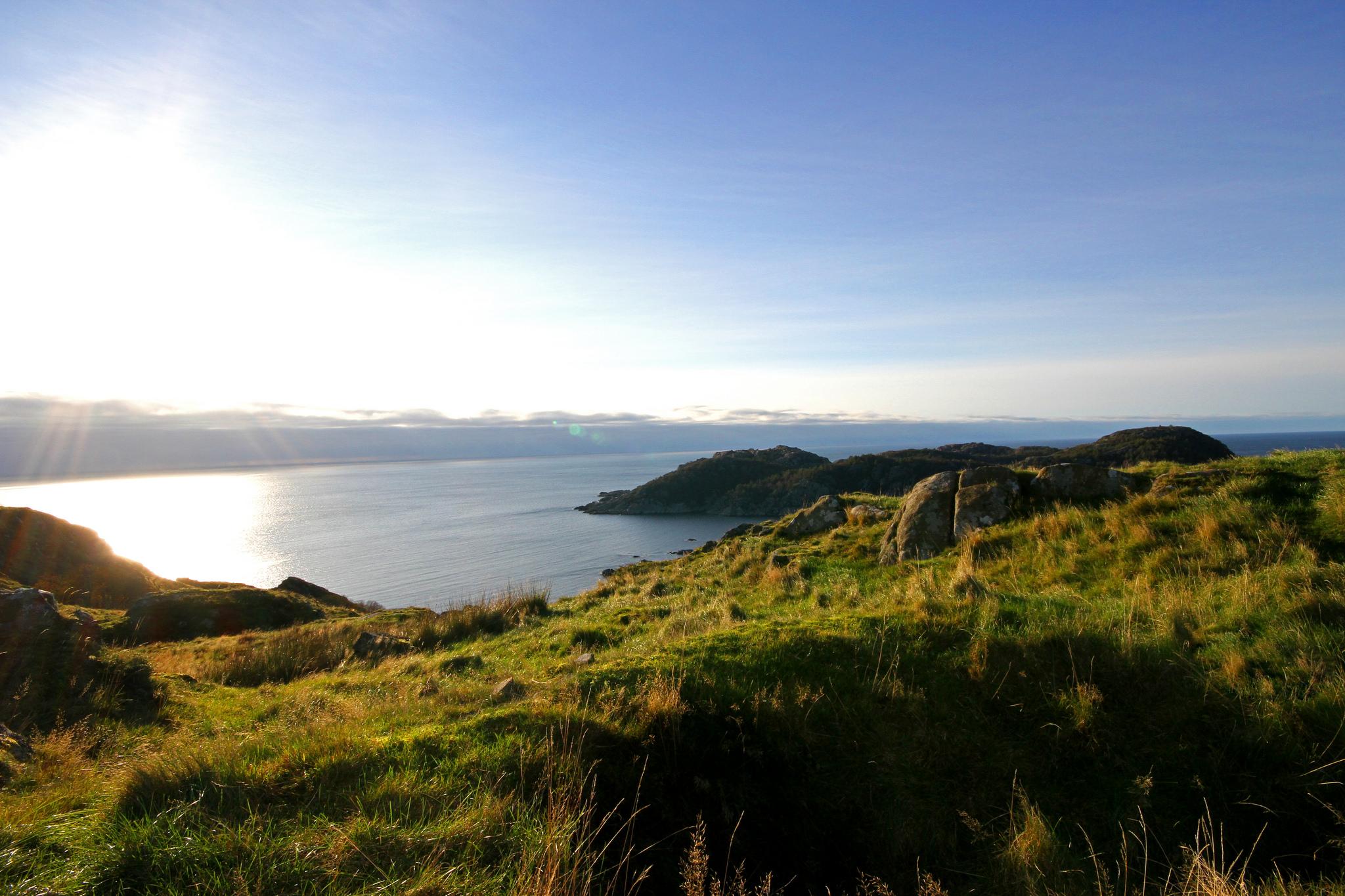
Along the route, you’ll find some of Norway’s longest beaches, with an amazing 70 kilometres of white sand, unique plants and wildlife.
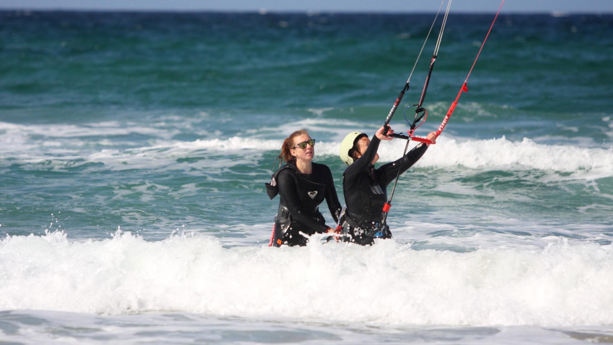
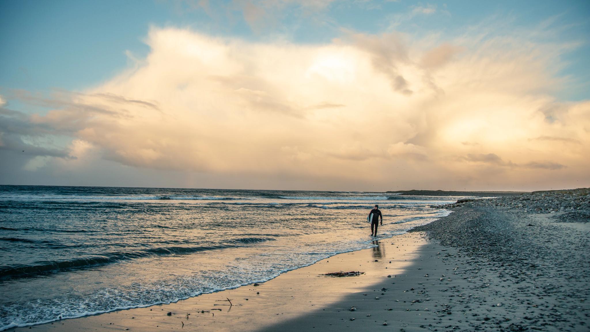
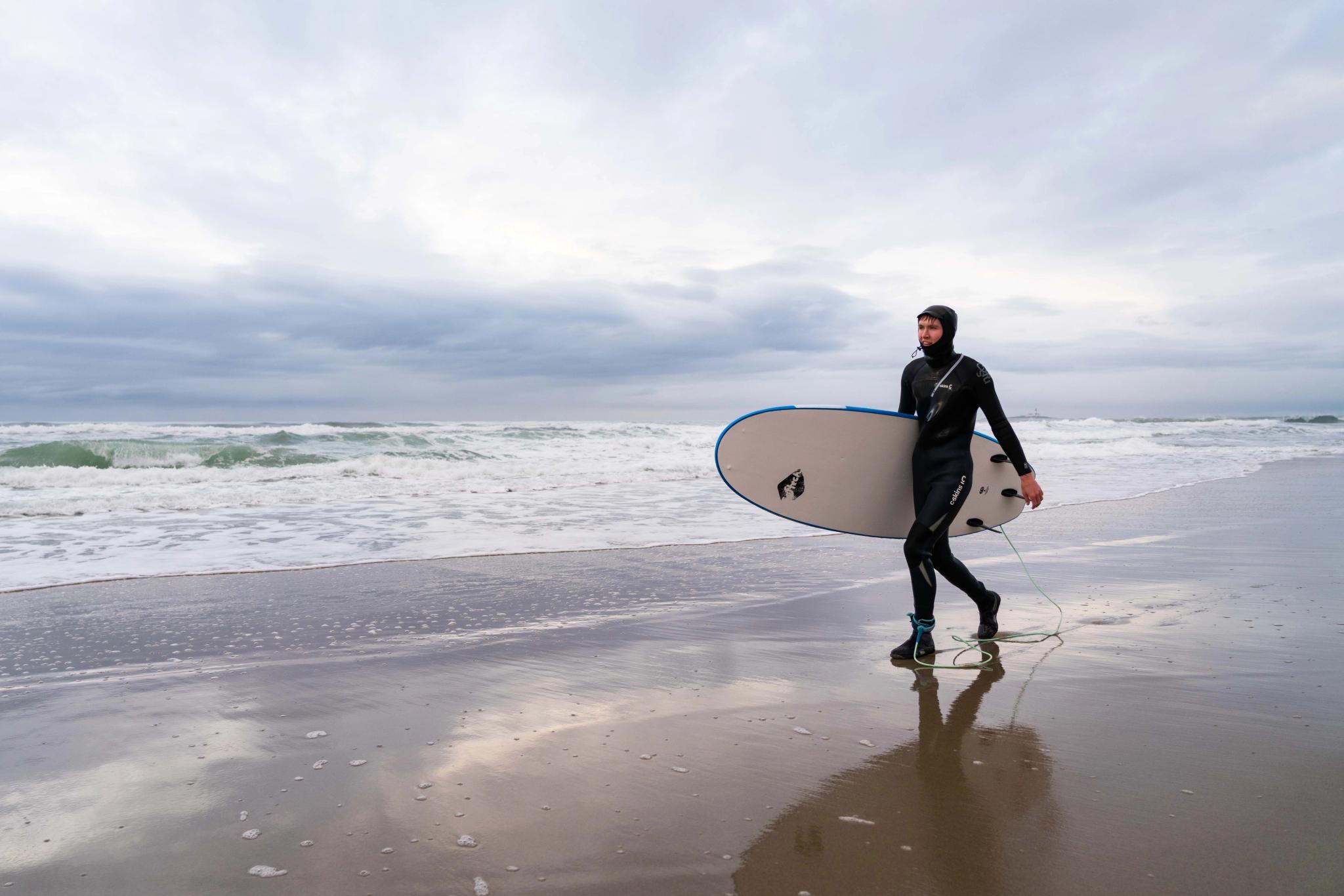
Starting from the north in Bore, the first stop along the road is Borestranda Beach, a long stretch of fine-grained sand and one of the most popular spots in Jæren for surfing, kiting and swimming.
You’ll also find facilities here, including showers, restrooms, and seating areas.
Orrestranda beach is only 10 minutes further south. Nearly five kilometres in length, it's Norway's longest beach!
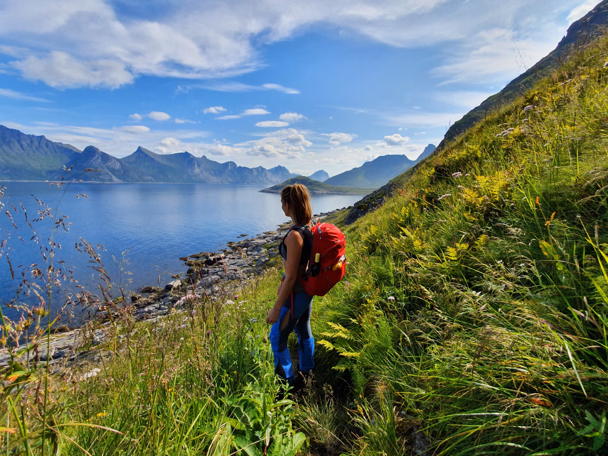
People come here to swim, surf, and hike in the fresh sea air.
You'll find parking and restrooms just a short walk away, and it's also possible to buy food and drinks at the information centre at Orre Friluftshus.
The beach has also been awarded the prestigious Blue Flag certification.
Next up: Refsnesstranda
This is another favourite stop along Scenic Route Jæren! The beach features soft sand dunes in the south with more pebbles in the north. Showers and restrooms are available.
More beaches in the Jæren region
There are many more beautiful beaches along Scenic Route Jæren that are well worth a visit:
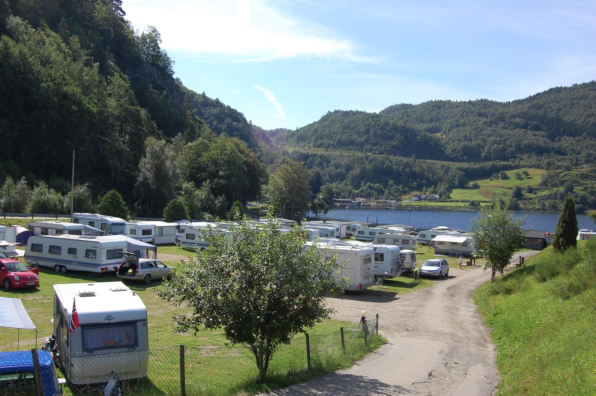
Ognasanden: Easily accessible by car or train. If you take the Jæren Railway, the train station is about 15 minutes from the beach. If you are travelling by car, the North Sea Road goes right through Ogna. At the beach, you'll find both a campsite with a small shop, accessible paths, and several wonderful hiking trails.
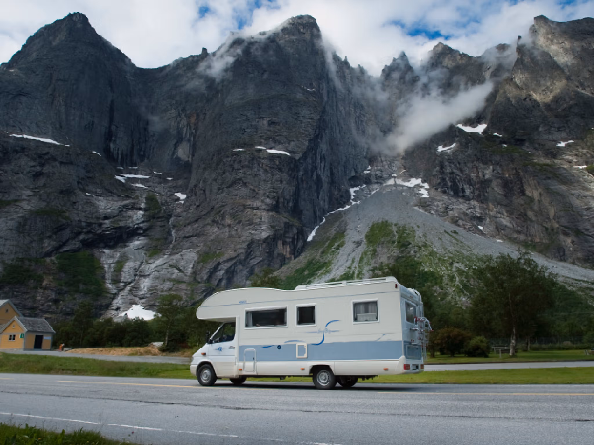
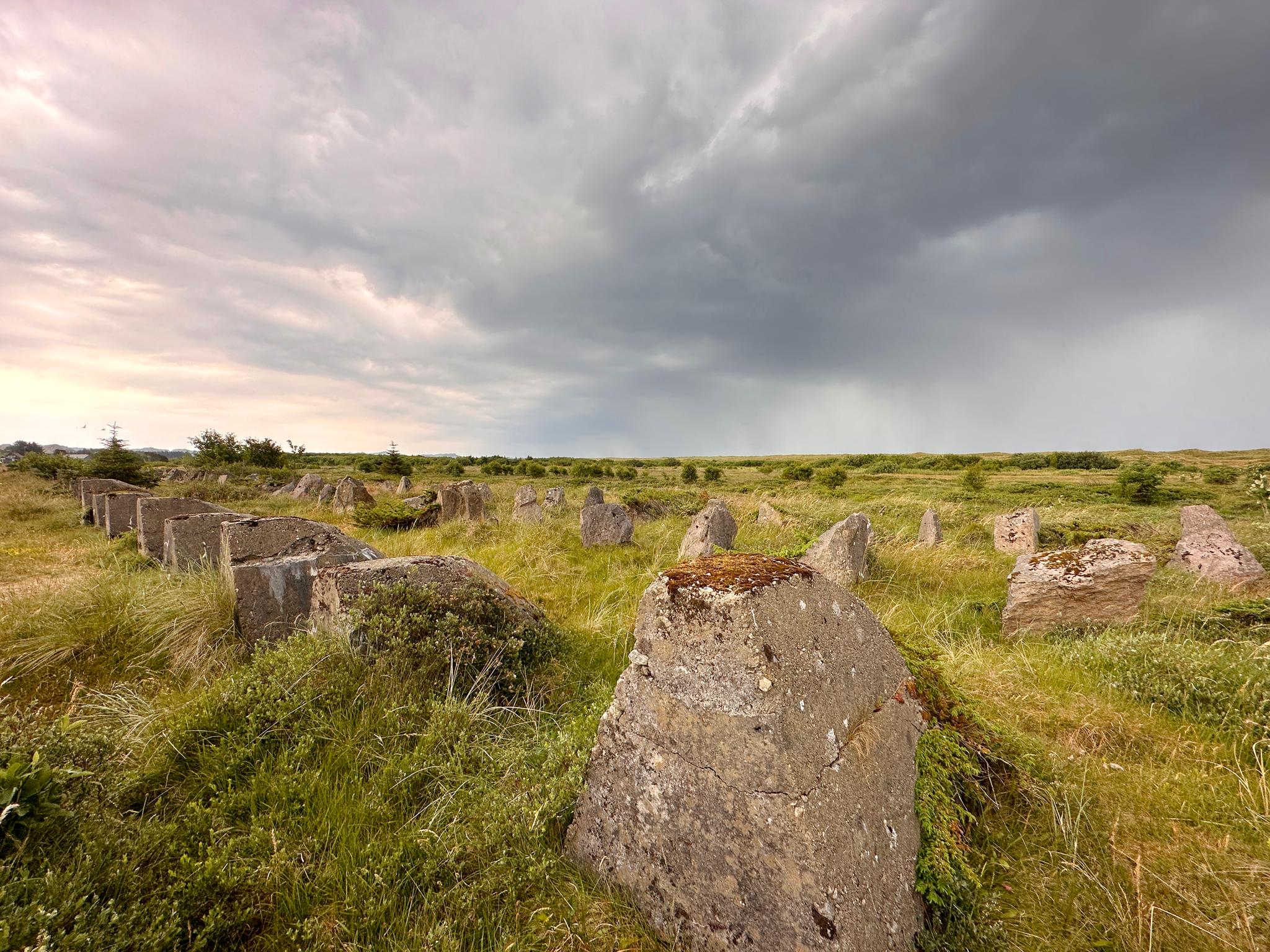
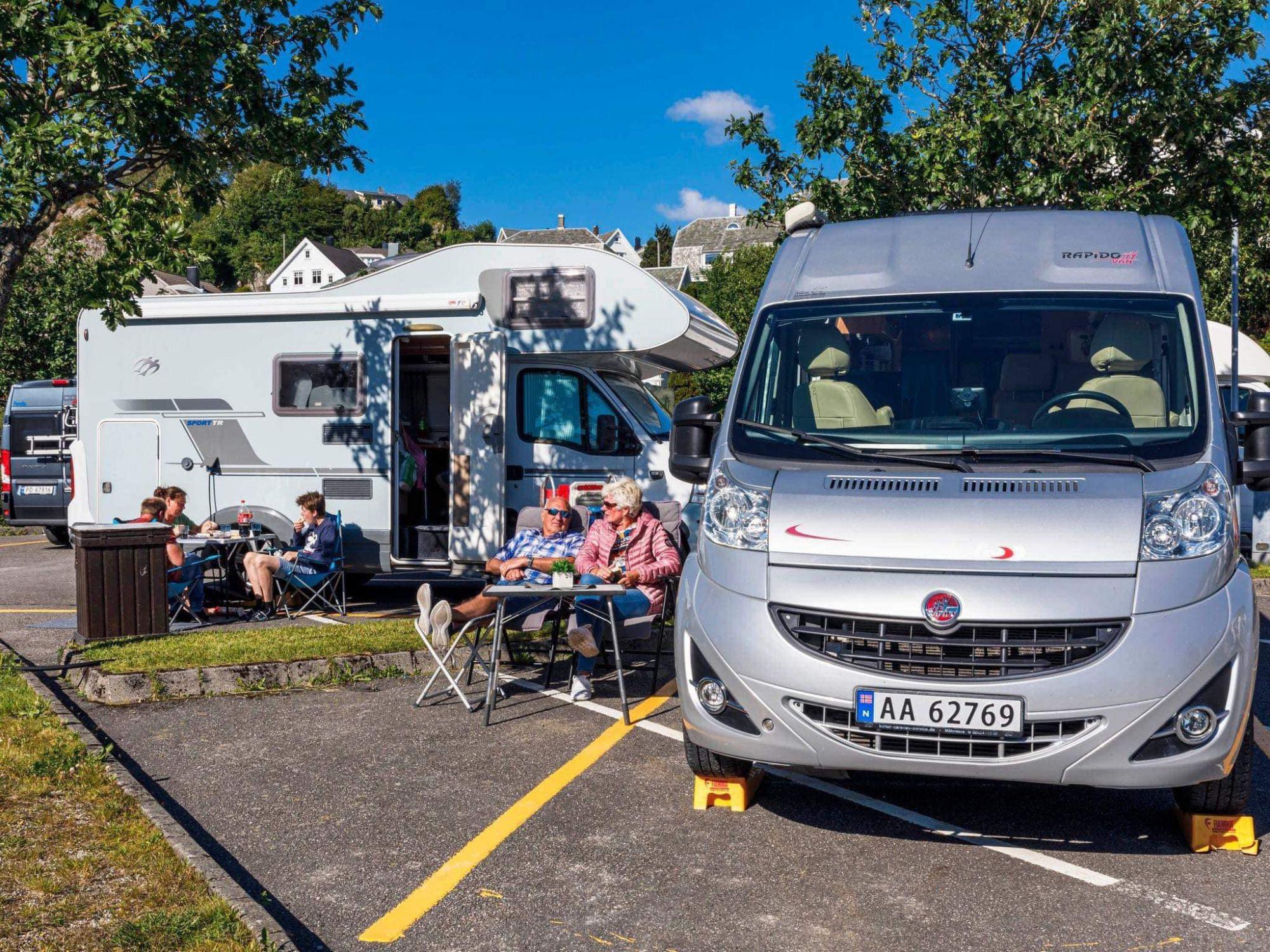
Brusand strand: This beach is connected to Ognasanden and has its own campsite with space for both motorhomes and caravans. This is a great spot for activities like swimming, surfing, and fishing. You'll also find Hitlertennene ('Hitler's teeth'), a series of Nazi stone block fortifications dating from the Second World War.
North of the Scenic route:
Solastranden beach is long and shallow, and therefore popular with kiters and surfers. At the north end of this lively beach, you'll find the Sola Strand Hotel with a nice spa, while there's a golf course near the south end. The beach is also close to Stavanger airport.
Regestranden is a small beach neighbouring Solastranden beach. It has a large car park. You can also see street art in the area.
Ølbergstranden is a small sandy beach offering pleasant swimming and sunbathing during summer. It's a good place to hike year-round. Some also claim you get the very best soft serve ice cream in the area right here at Ølbergkiosken! The beach is located southwest of Stavanger airport, just next to Ølberg harbour.
Vigdelstranden is a smaller beach a short distance from Ølberg. There is a path leading to the beach and restrooms in the area.
Hellestøstranden is a universally accessible recreational area at Sola and is the perfect place for sun-seekers in summer. A popular surfing spot, it's also the site of an annual kite festival.
Explore Jæren
Find places to stay, restaurants and things to do along the beaches of Jæren.


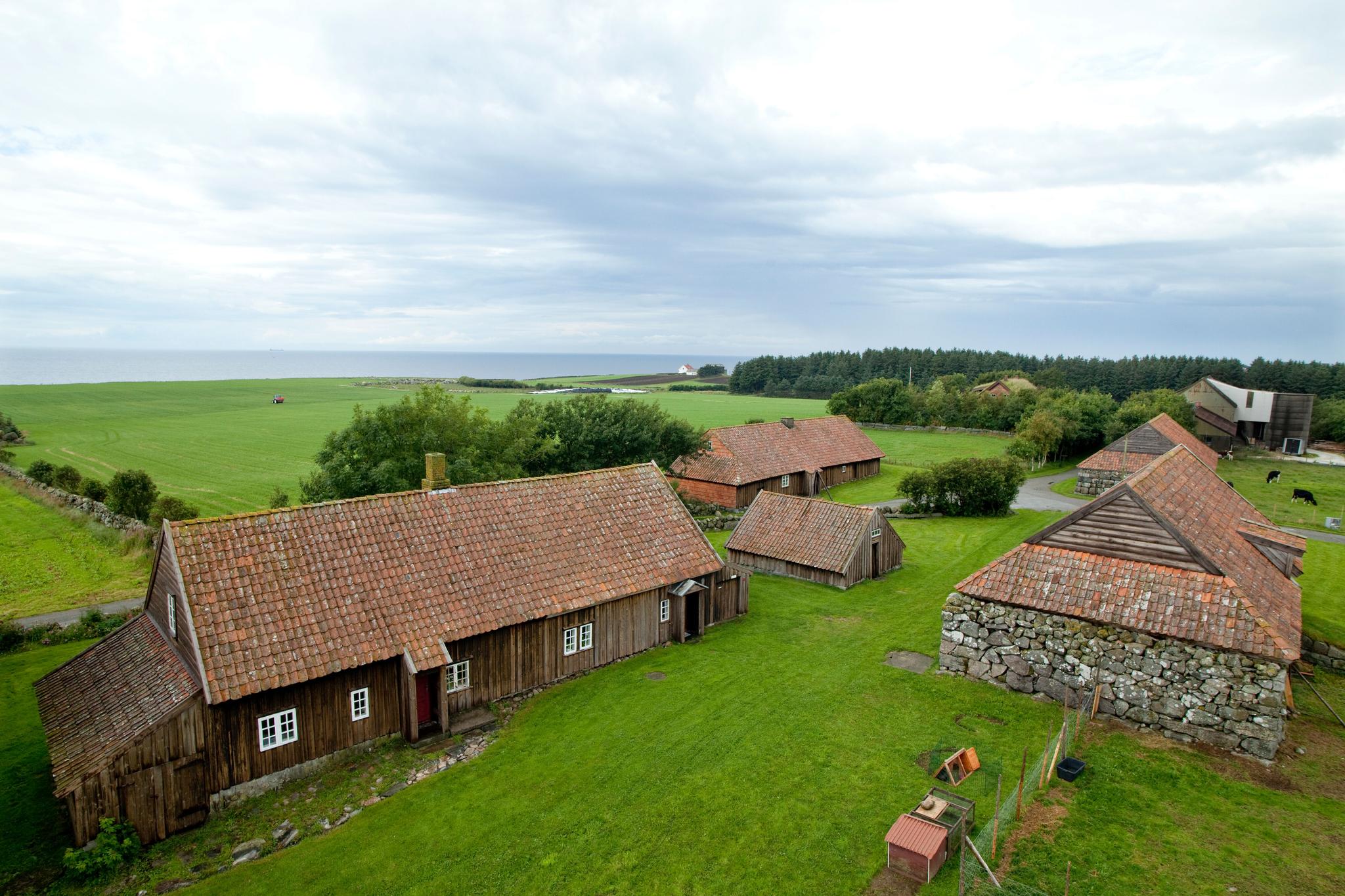


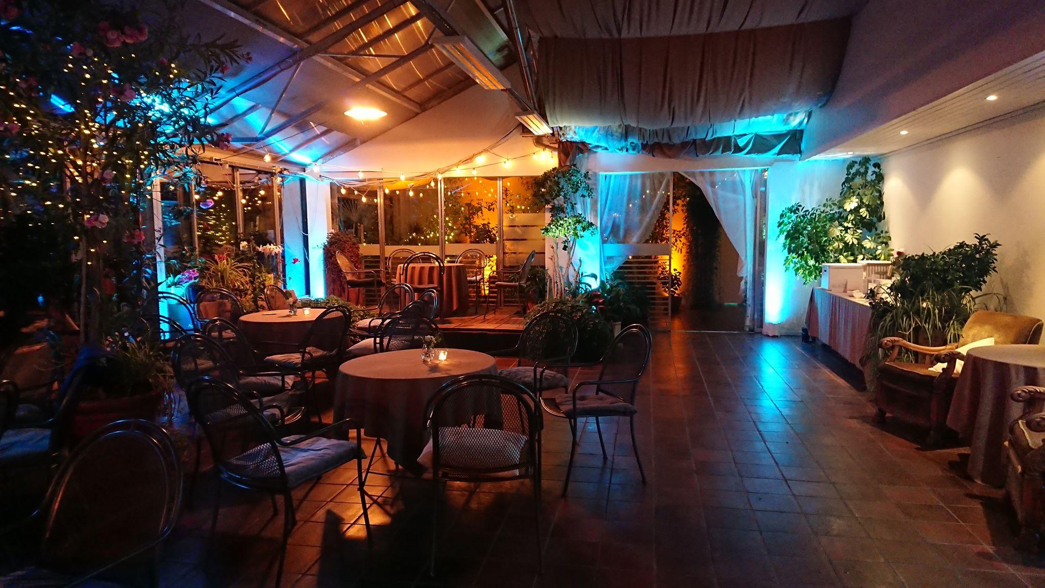
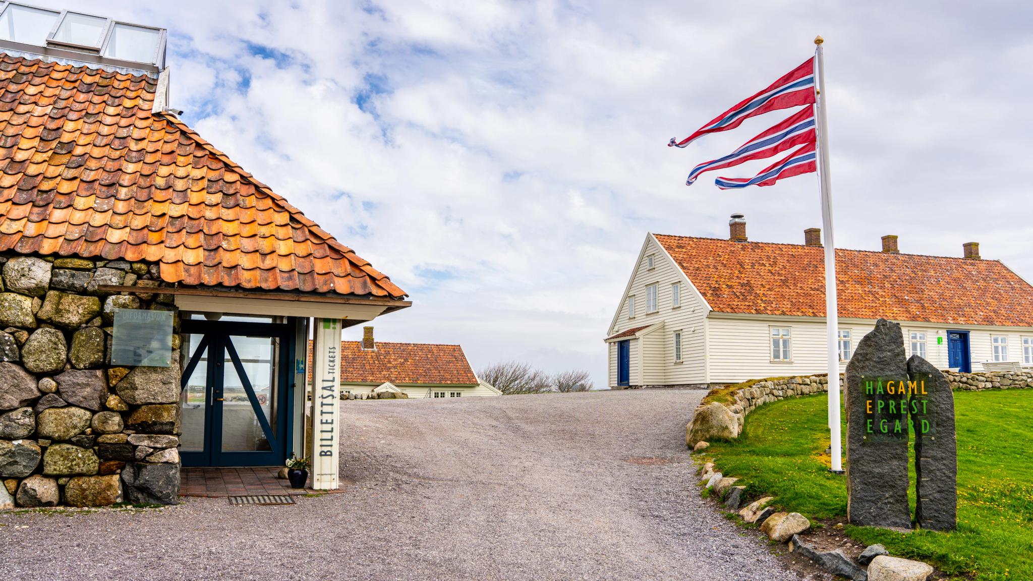


Take a lunch break at the art and cultural centre Hå Gamle Prestegard, 10 minutes from Refsnes beach.
This vicarage from 1789 actually houses one of the best art centres in the region, and there's a cosy café serving…
…lapper, a type of traditional thick Norwegian pancake, which is a popular snack among Norwegians. They are often served with sweet brown cheese, or freshly made jam!
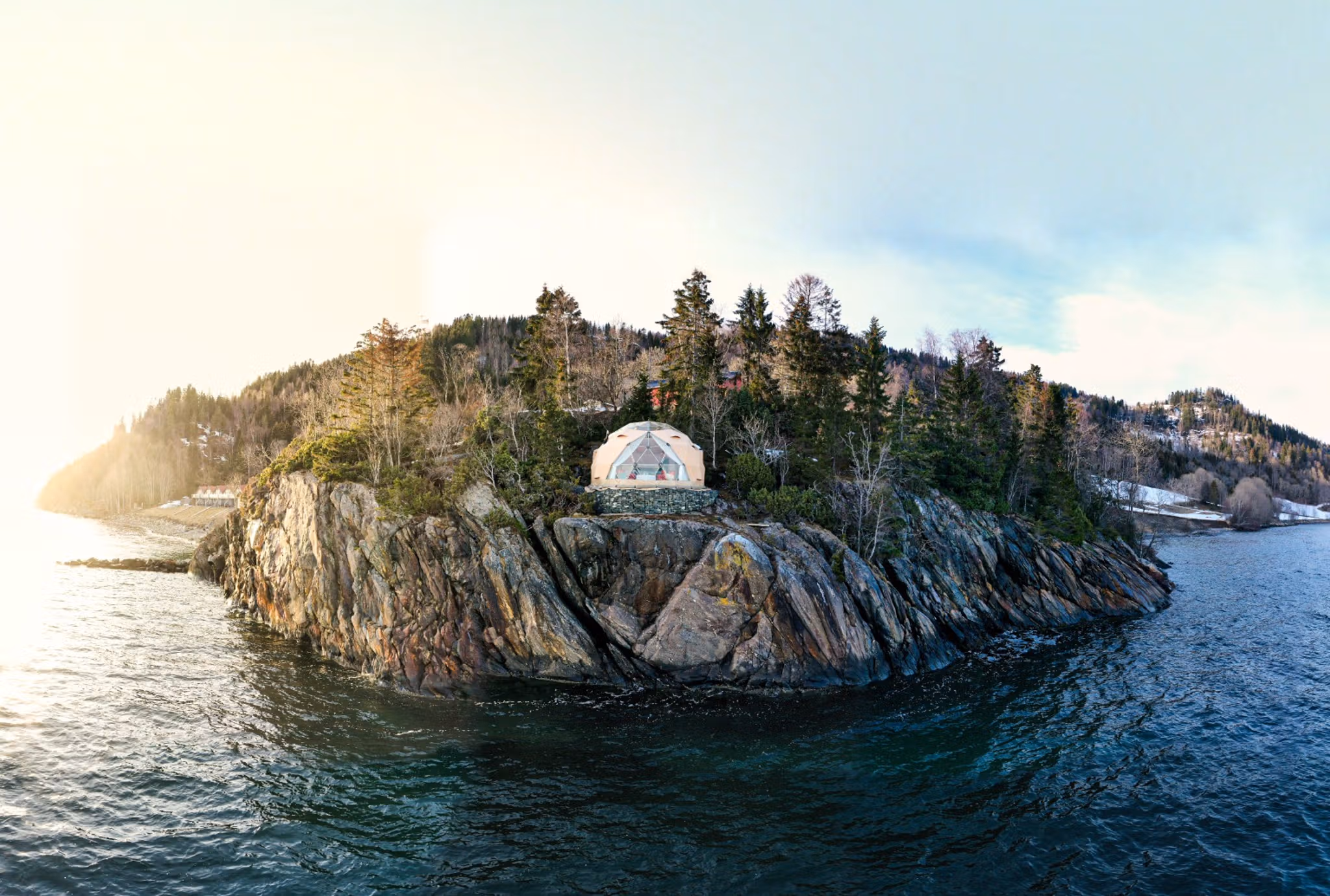
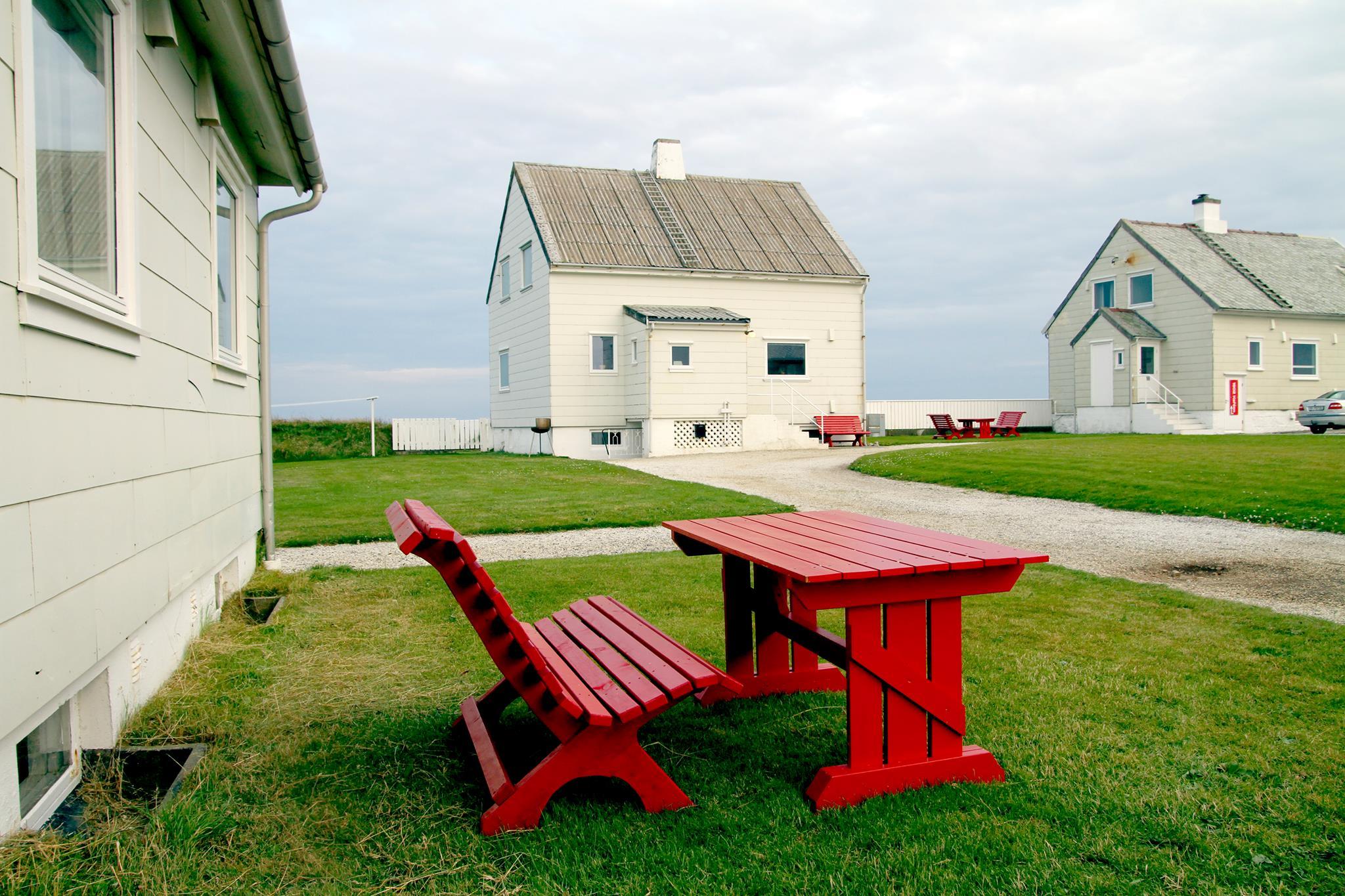
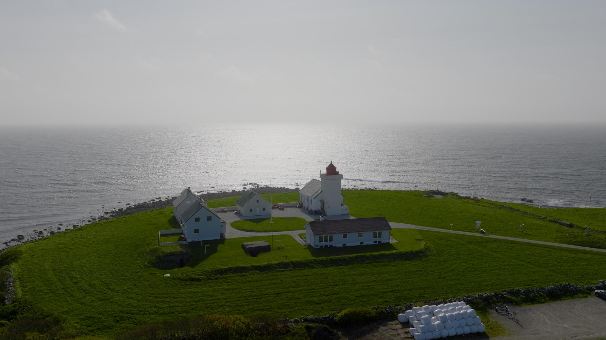
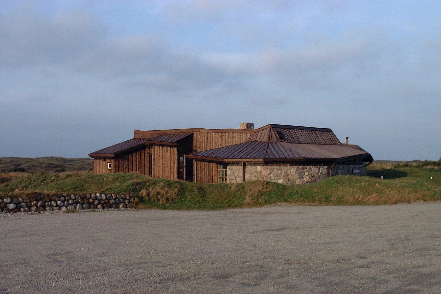
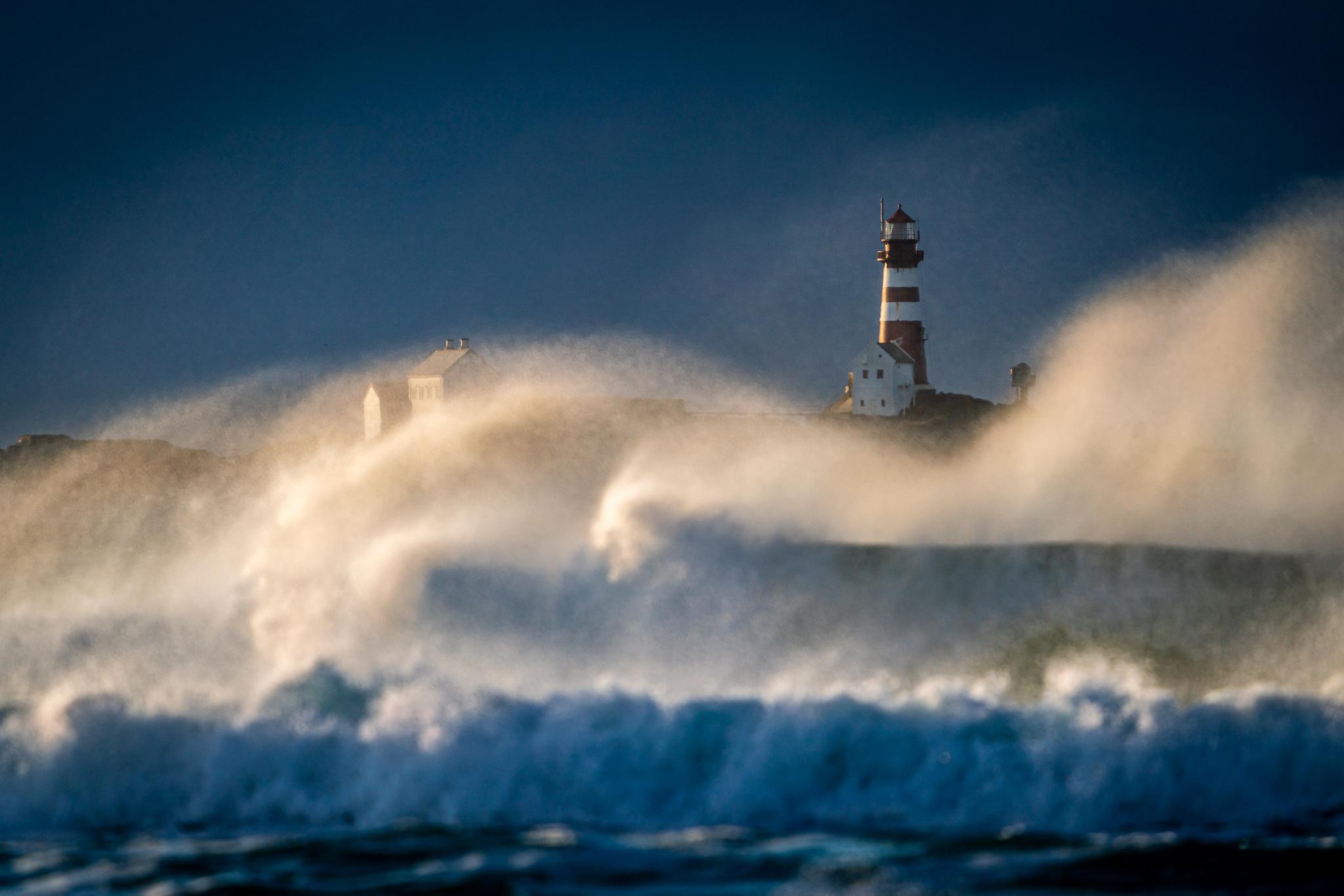
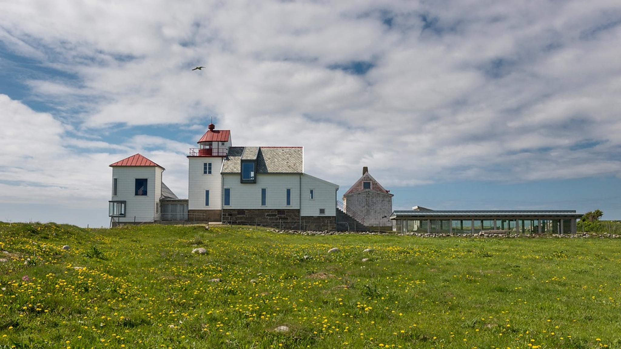
While you're in the area, you should also visit the Obrestad Lighthouse museum, and maybe even spend an unforgettable night there.
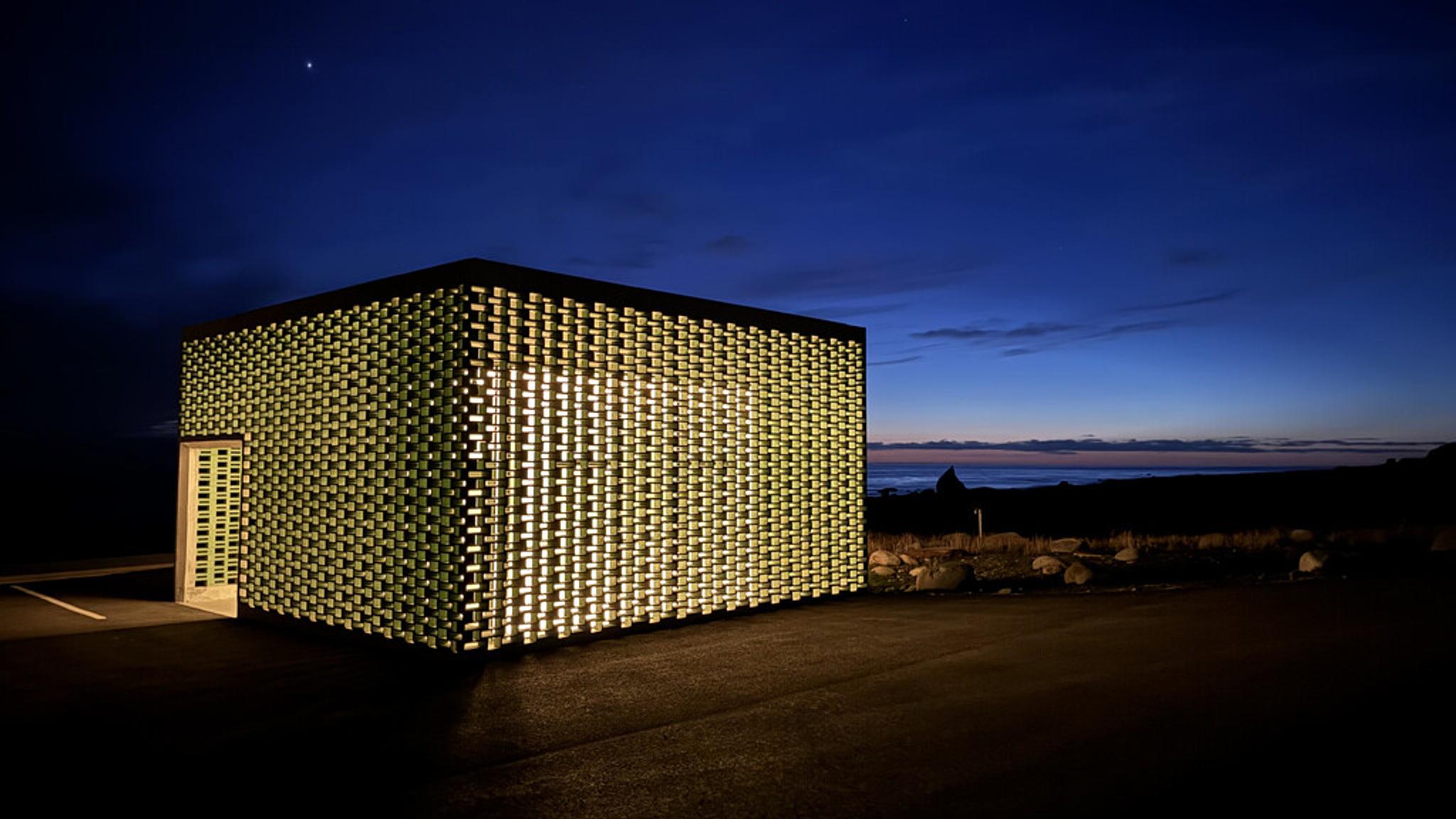
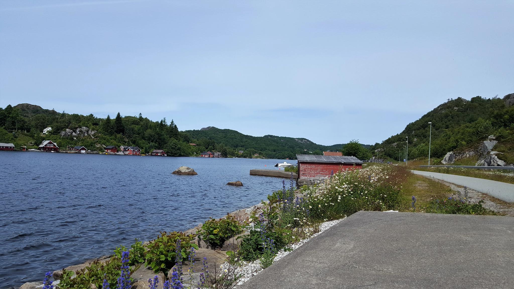
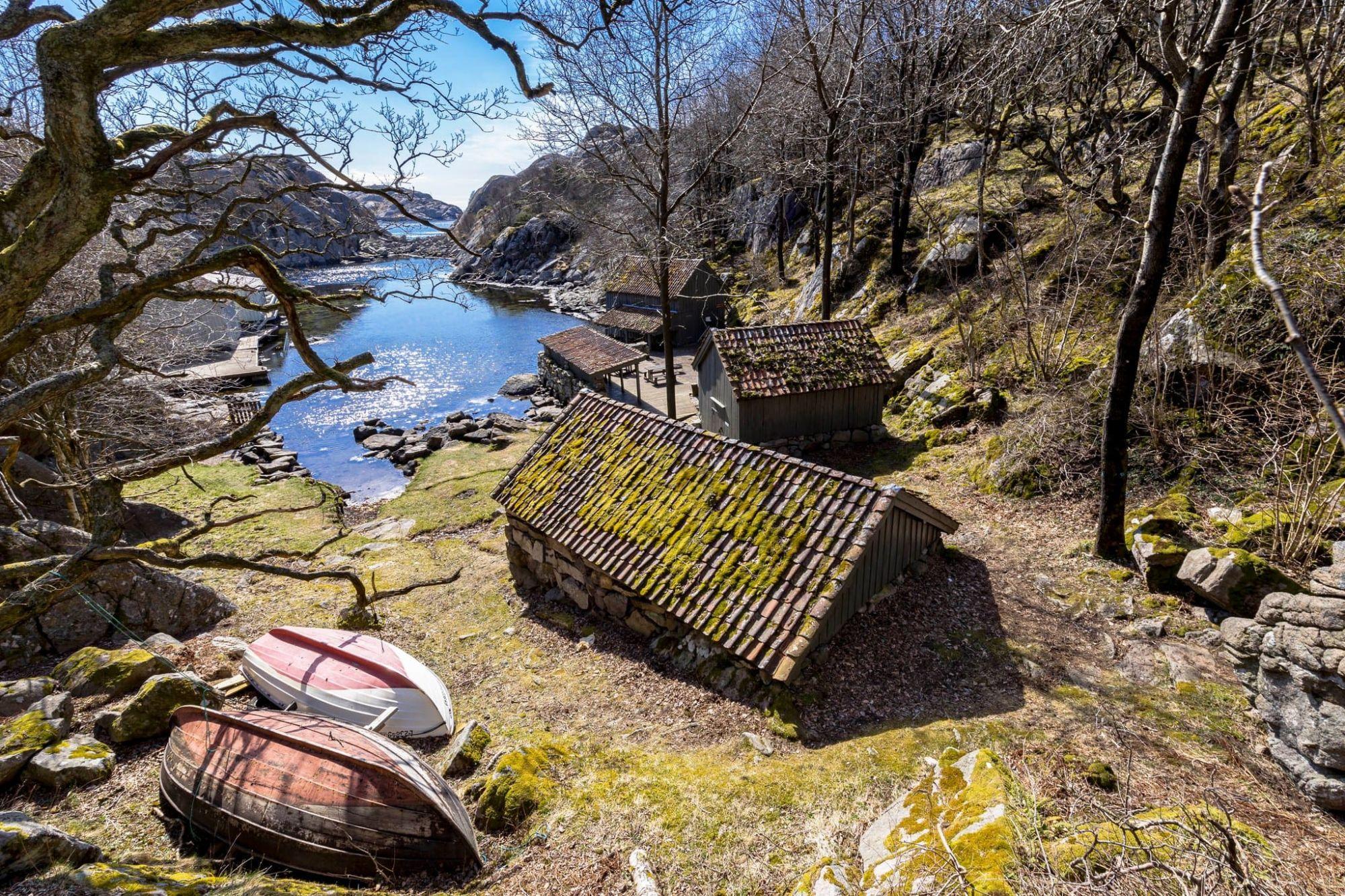
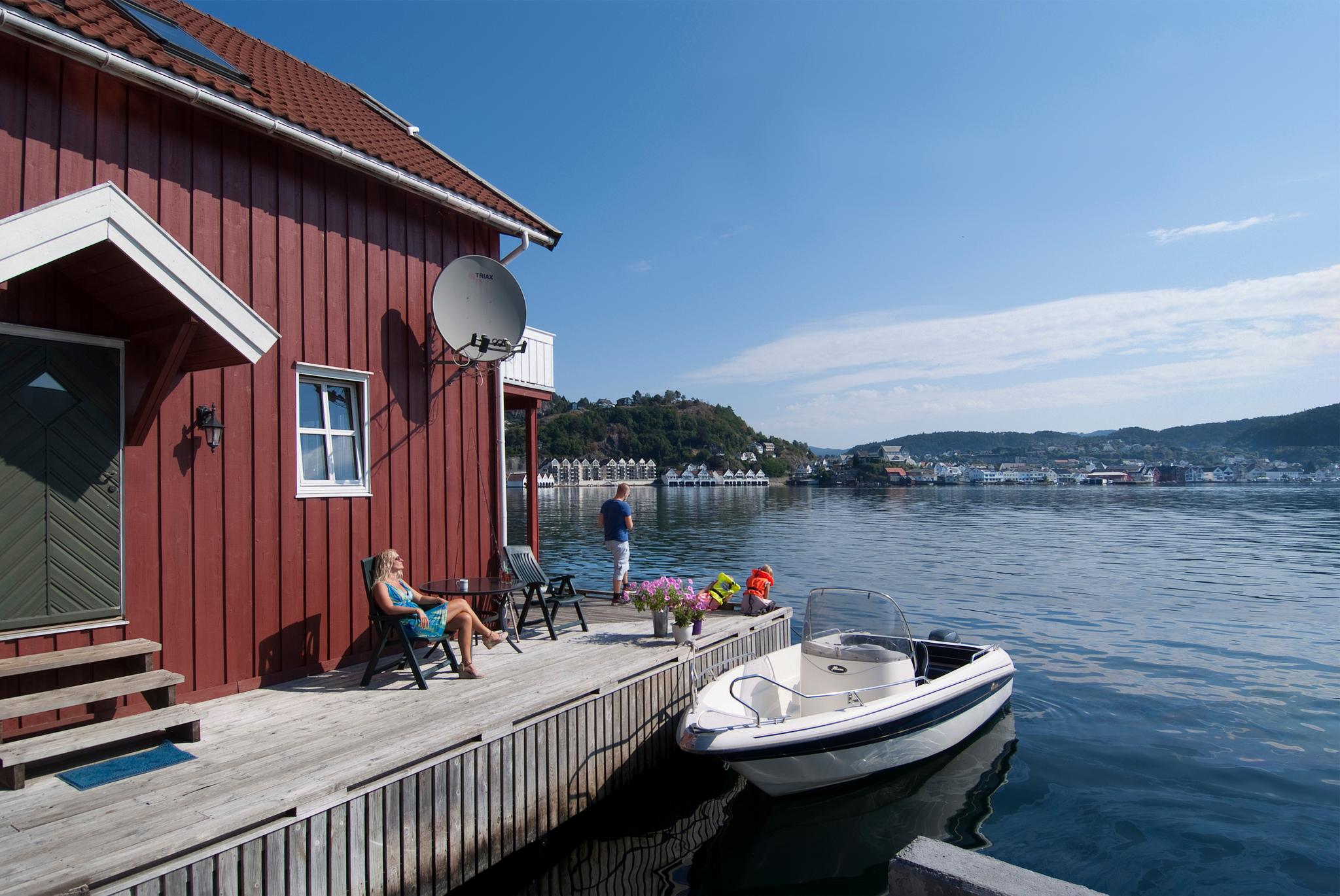
Next is Madland Harbour, tucked in between Varhaug and Vigrestad, in Hå Municipality – a beautiful place exposed to rough weather.
The building has two restrooms and features a type of panelling that glows in the dark like a lantern!
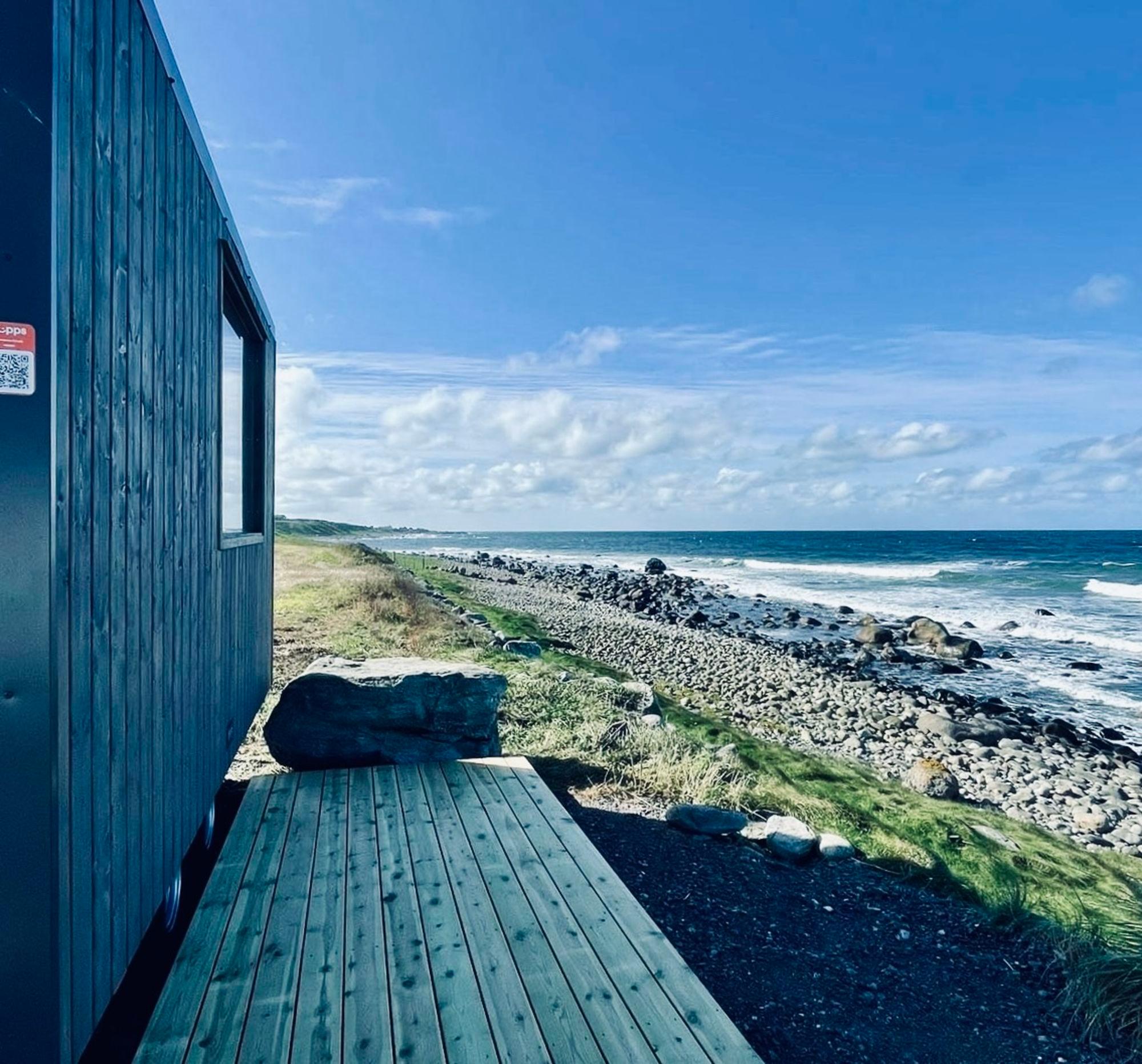
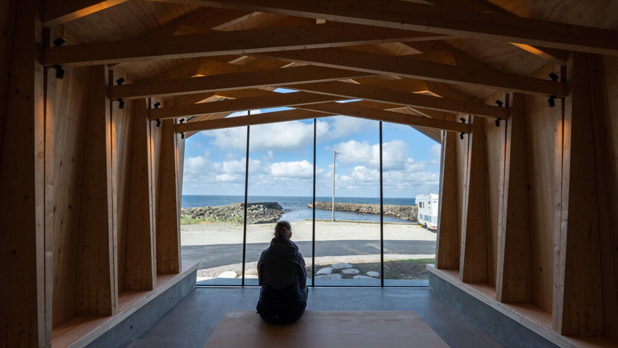
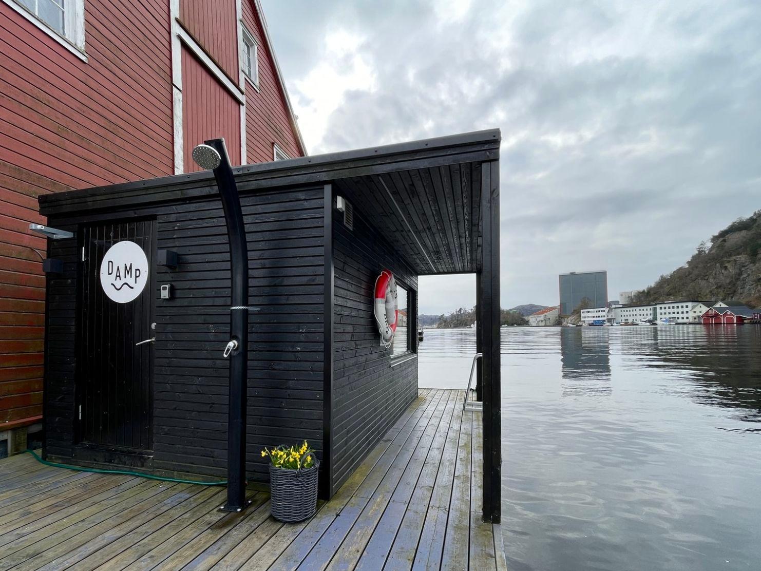
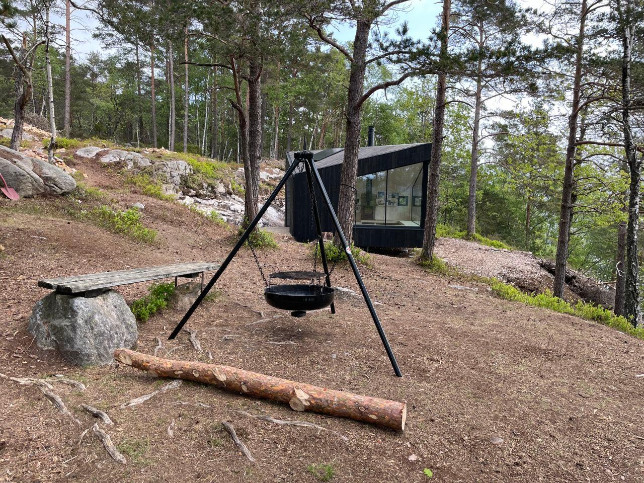
Down by the harbour, there is a new stormwatching cabin, with a glass wall offering stunning 180-degree views of the North Sea! Experience the weather and waves, sheltered from the elements.
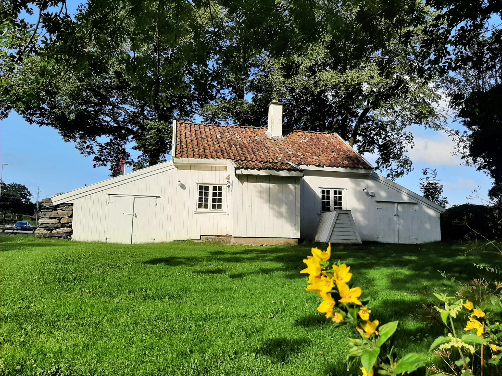
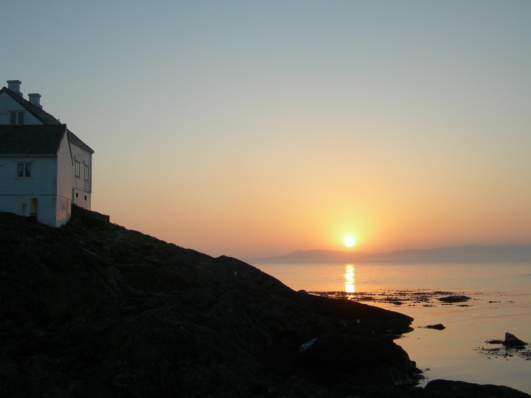
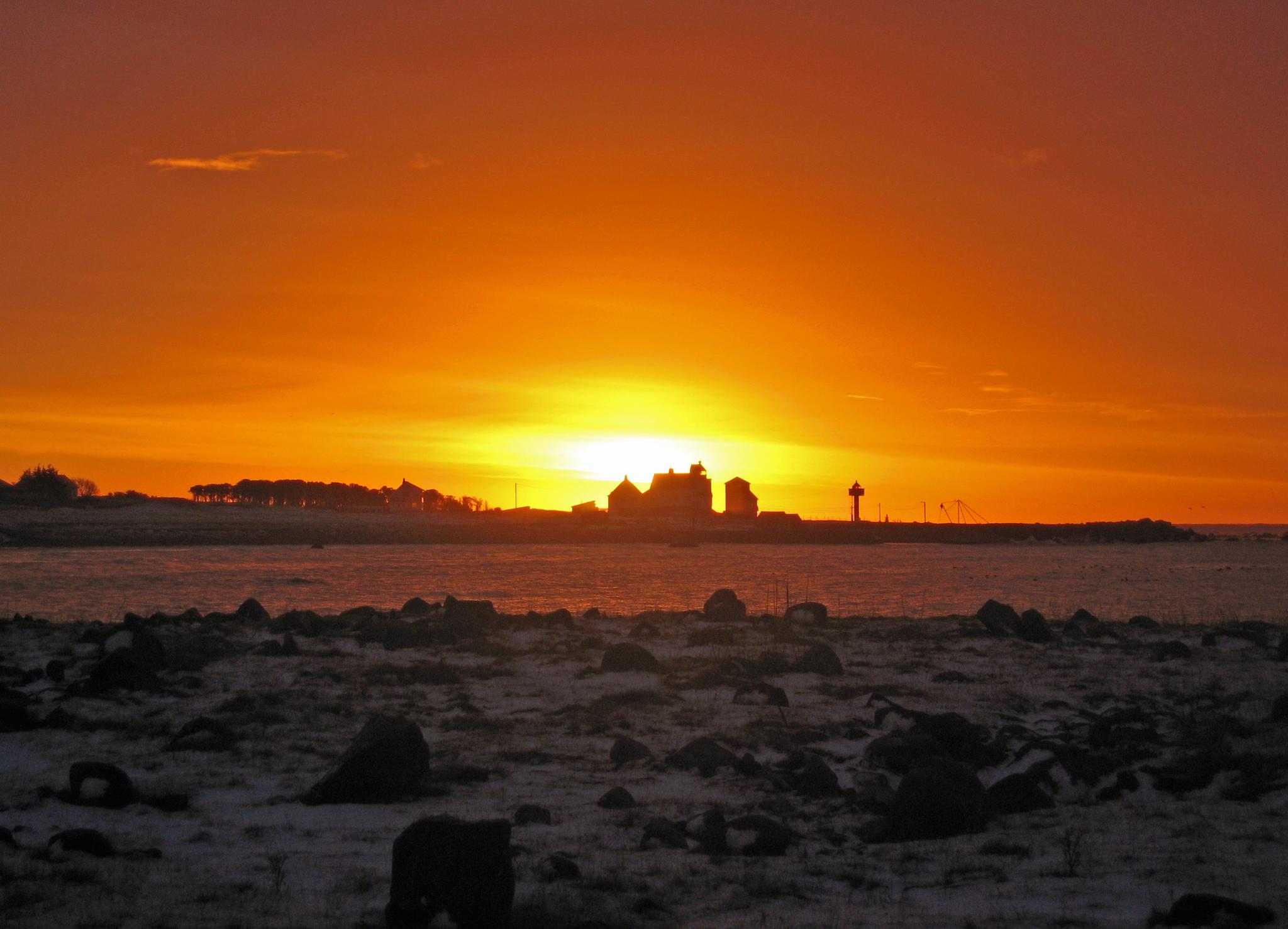
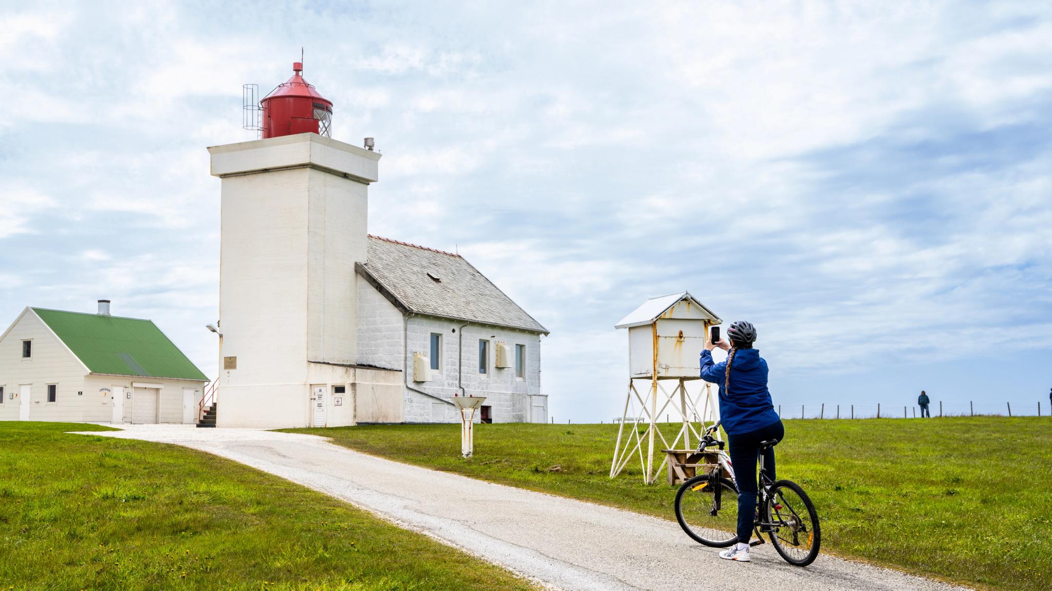
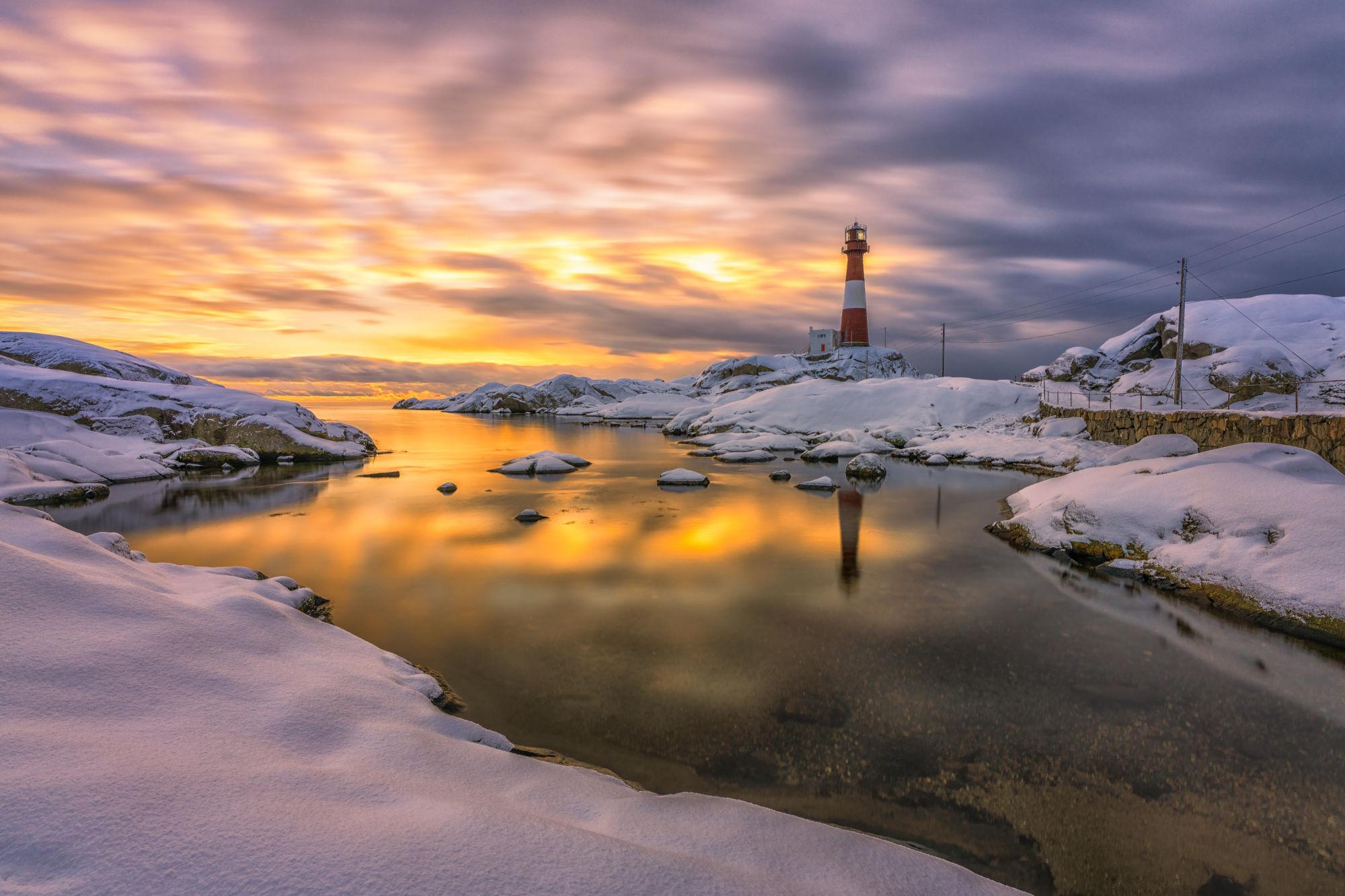
About ten minutes further south you'll find Kvassheim Lighthouse, built in 1912. Rich in history, it offers compelling exhibitions, a café and great hiking opportunities.
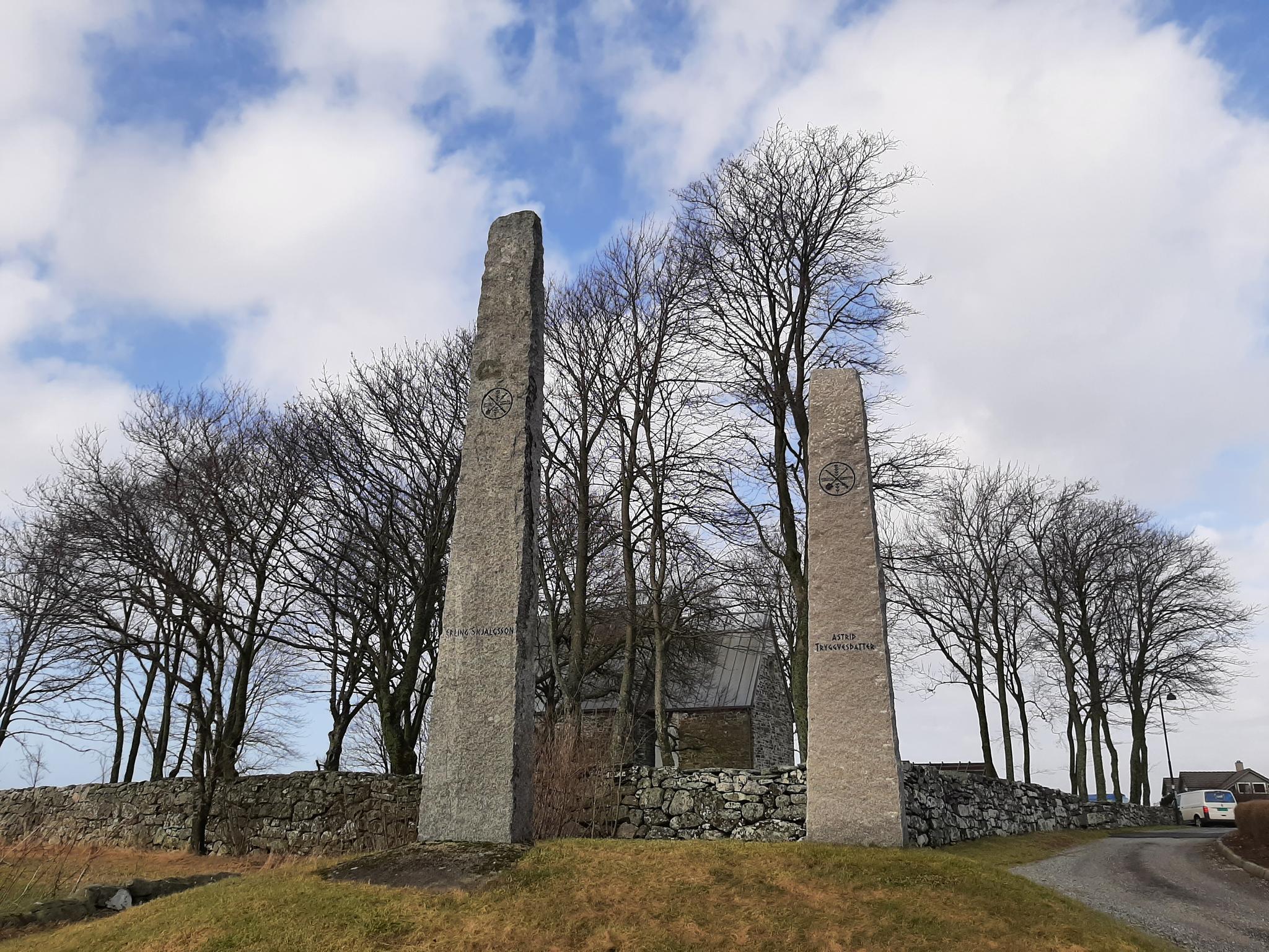
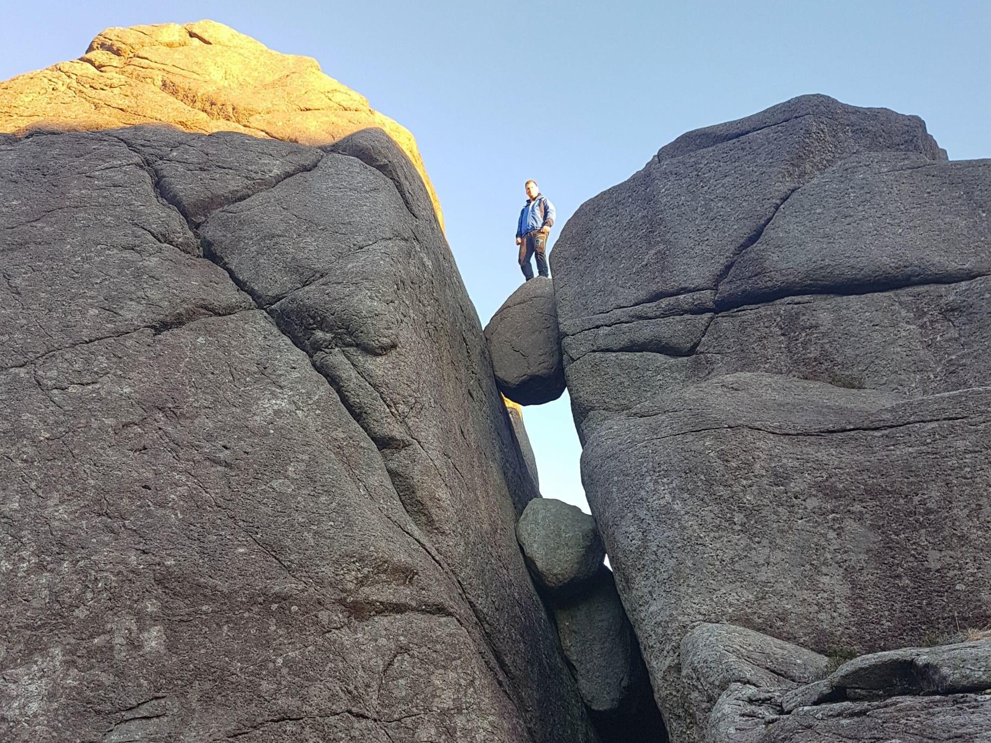
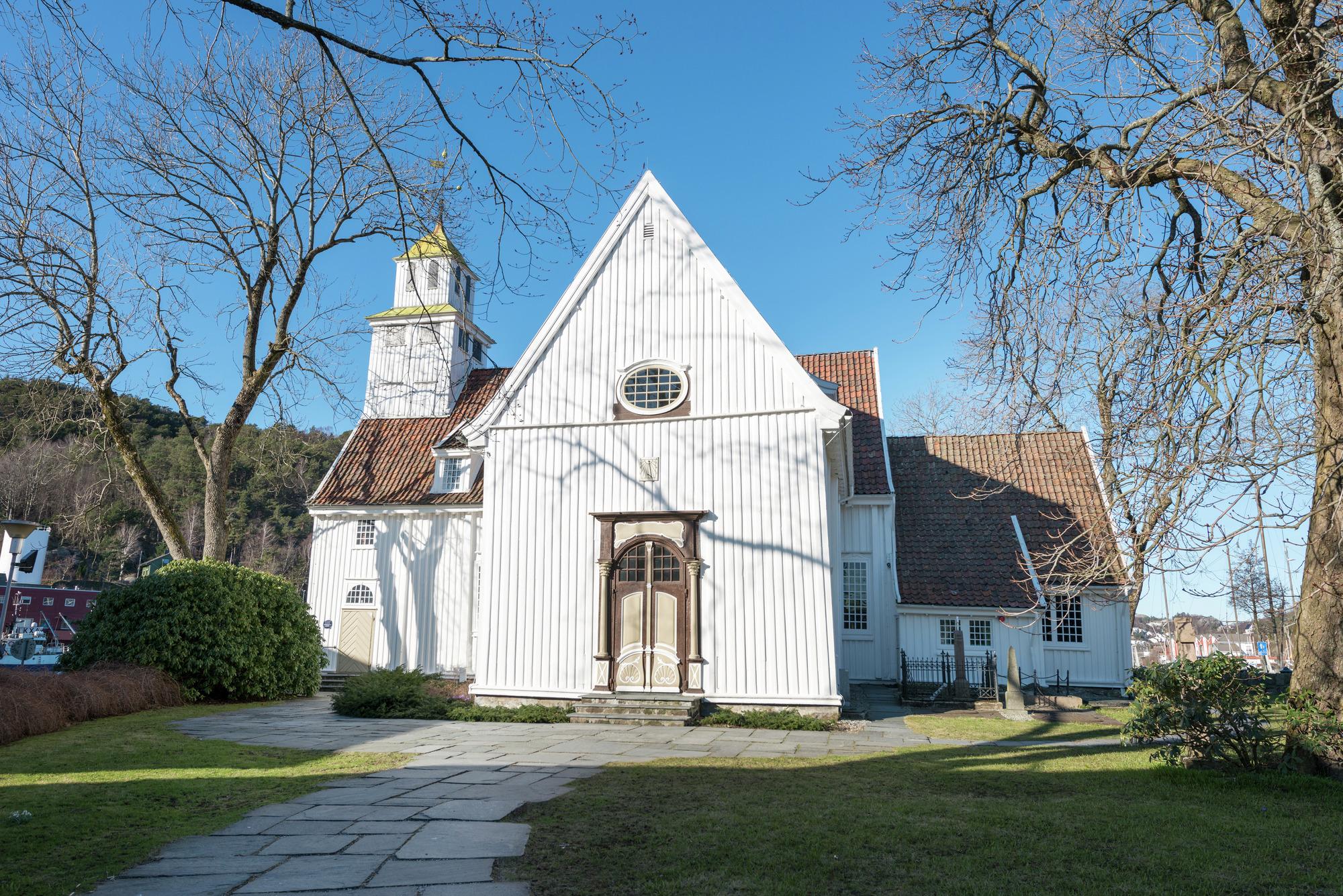
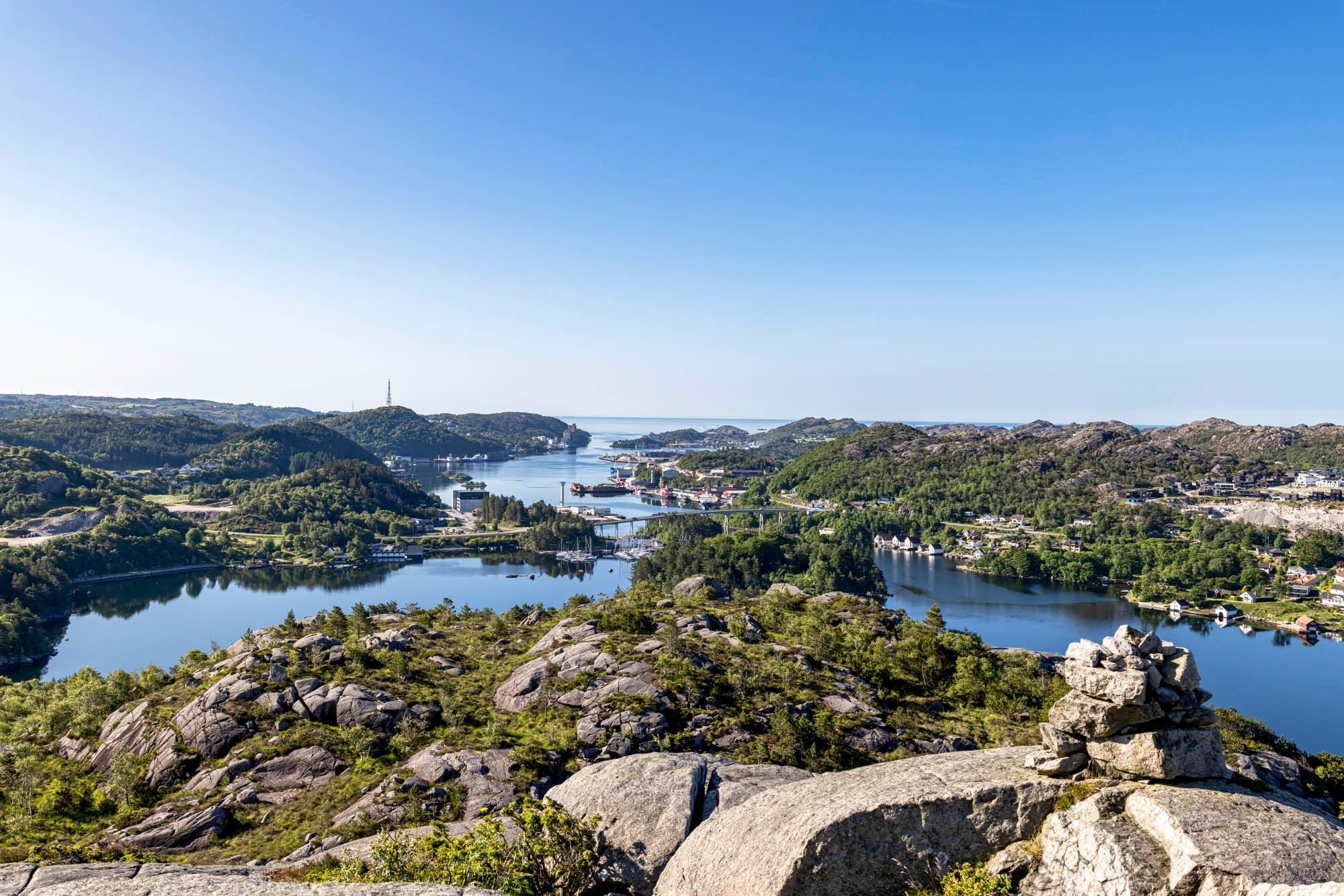
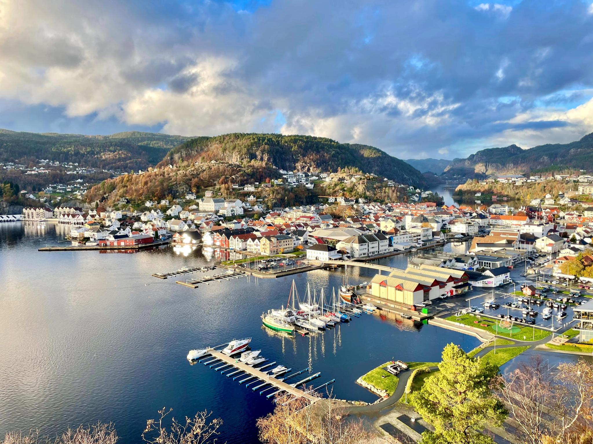
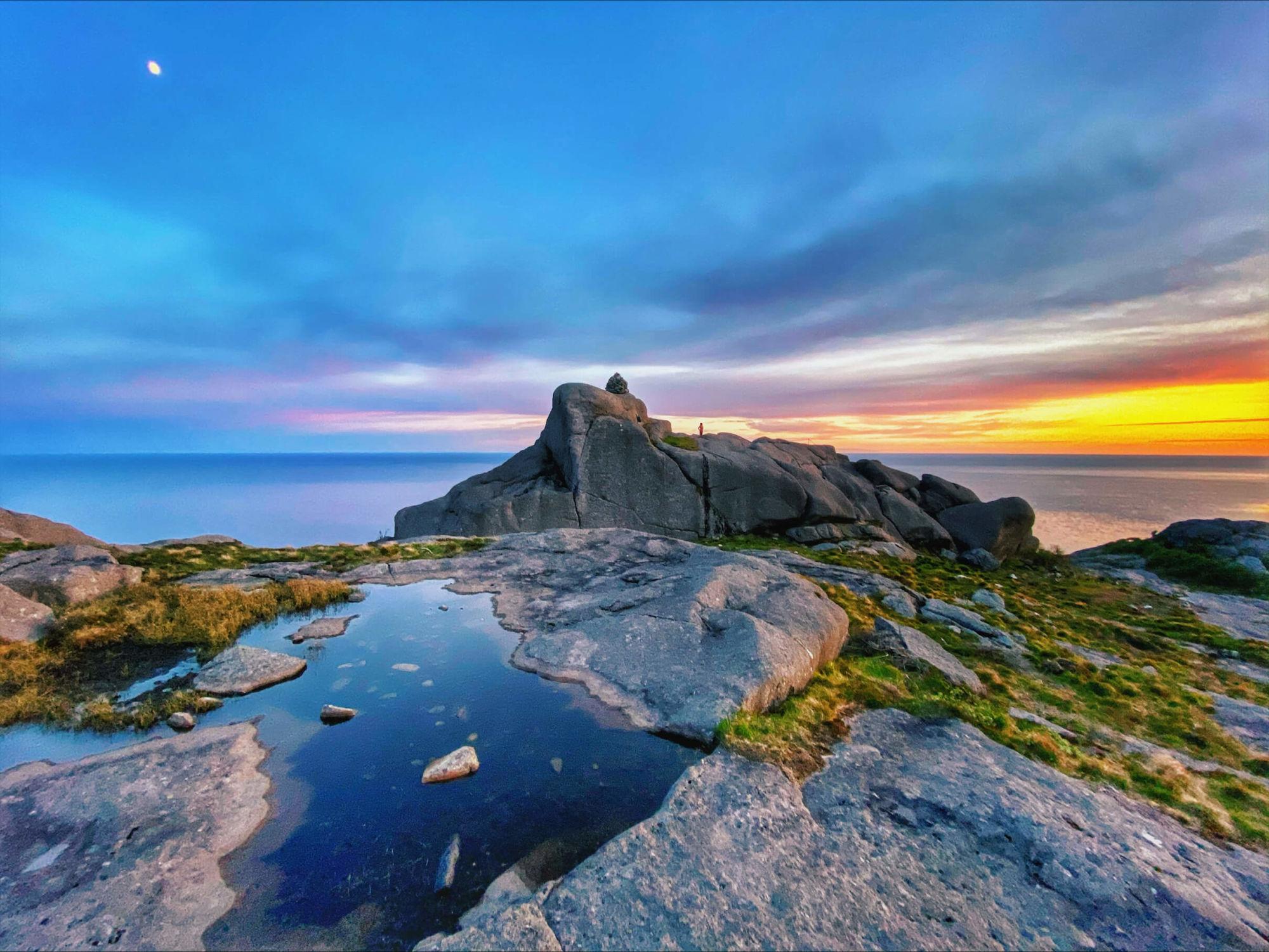
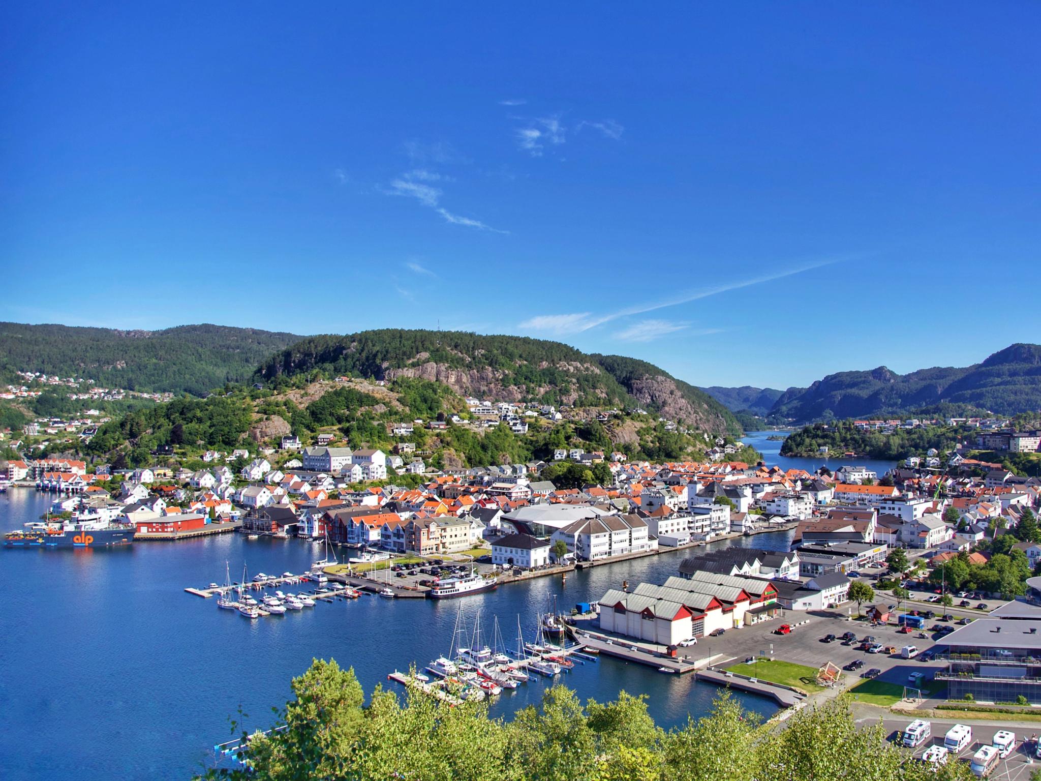
Further south, the landscape changes from flat lowlands and open skies, to a more rocky silhouette. Spend the night in the cosy fishing village of Egersund, and make a detour to the nearby hiking spot Trollpikken (literally "The Troll's penis", obviously!).
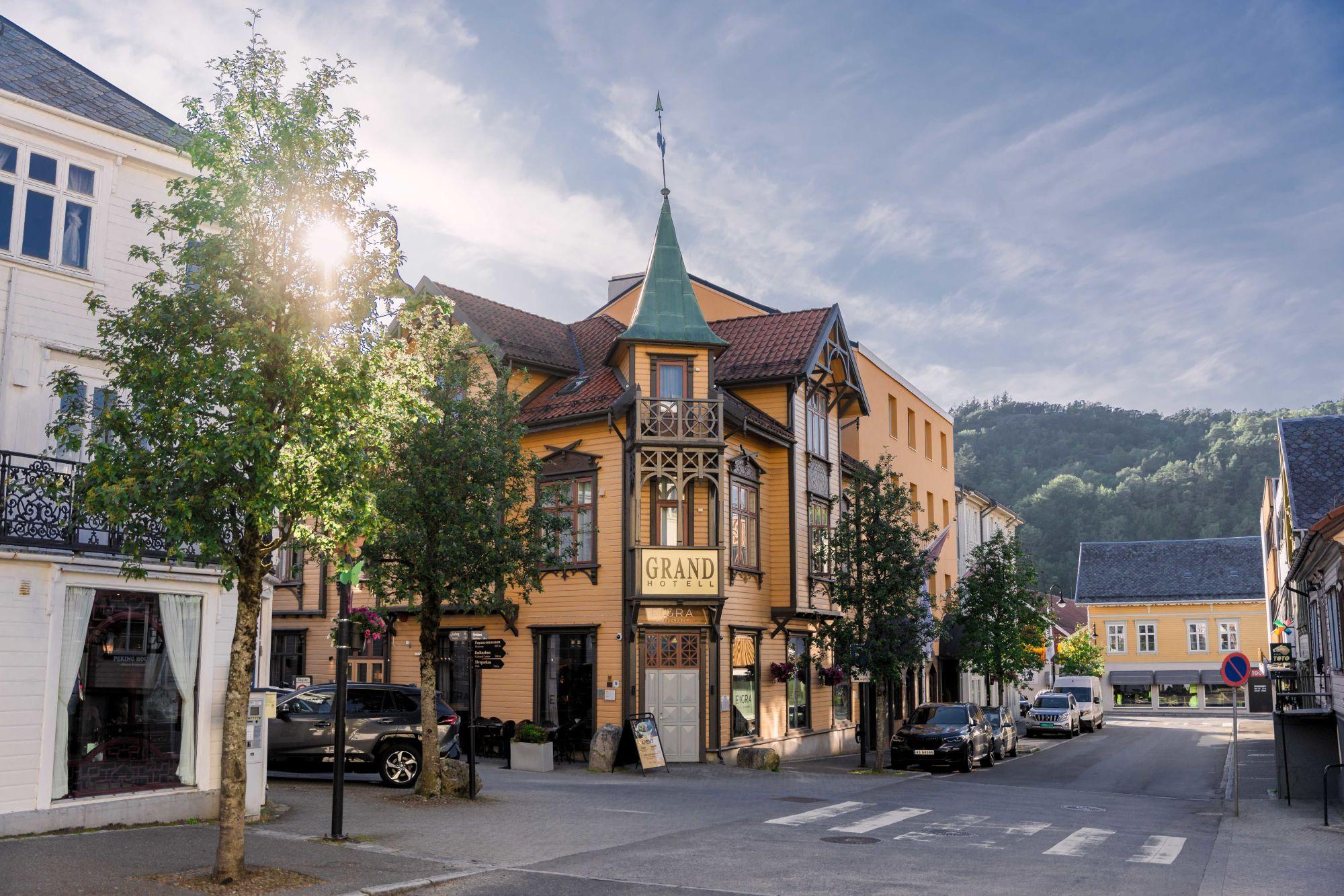
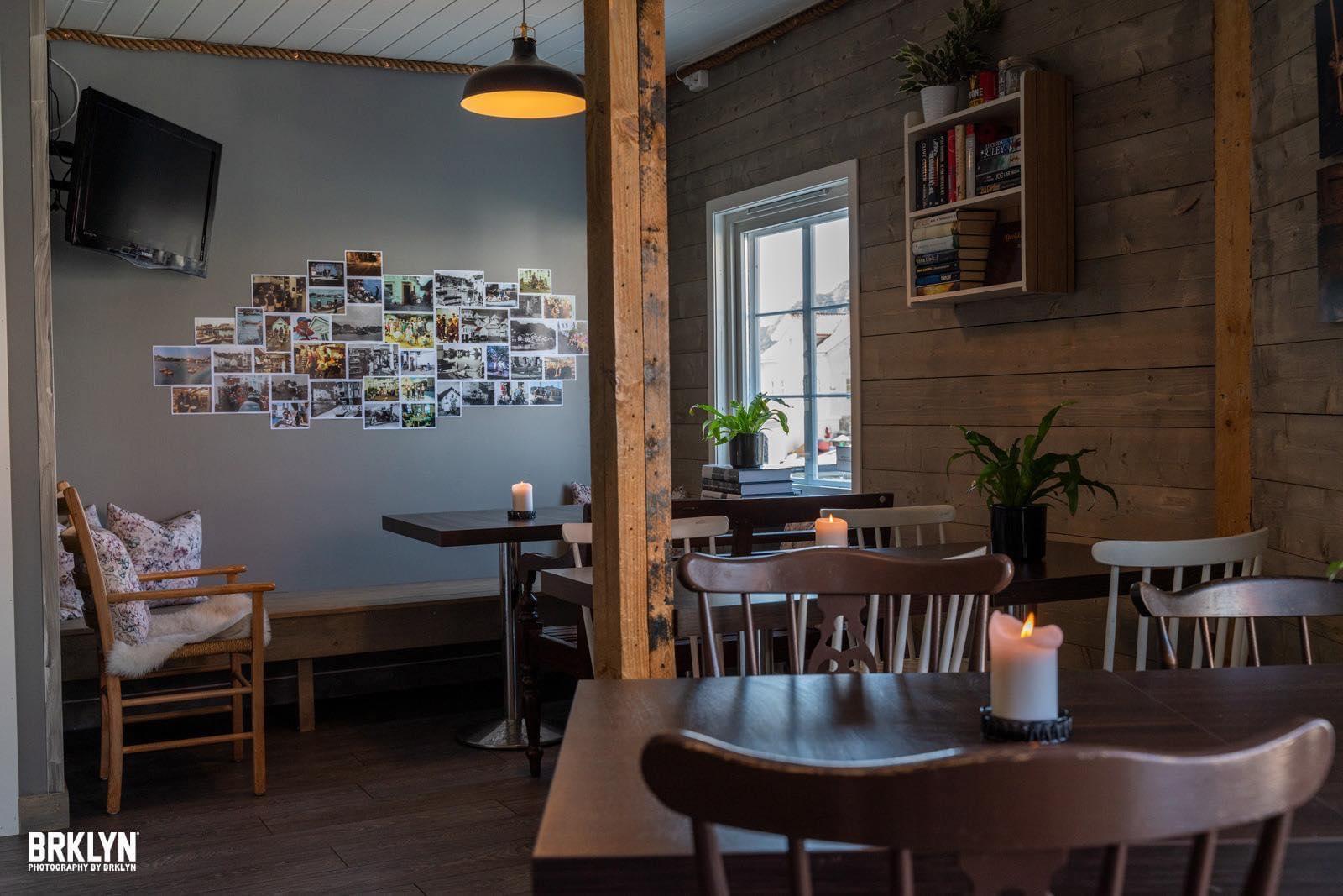
Explore Egersund
Find things to see and do, and places to eat, sleep and enjoy yourself in and around Egersund.
 Book nowEgersund
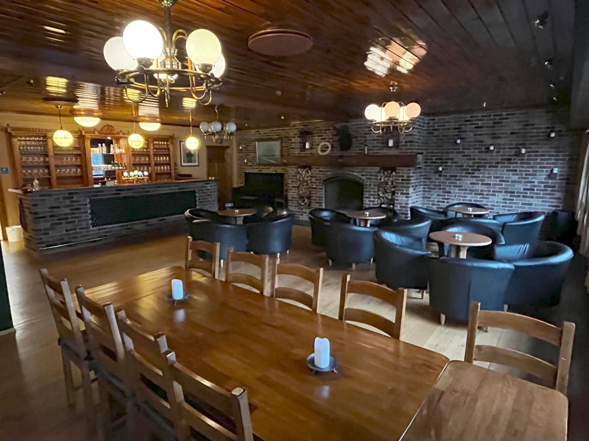
Decals on plates or cups at Egersund Fayancemuseum
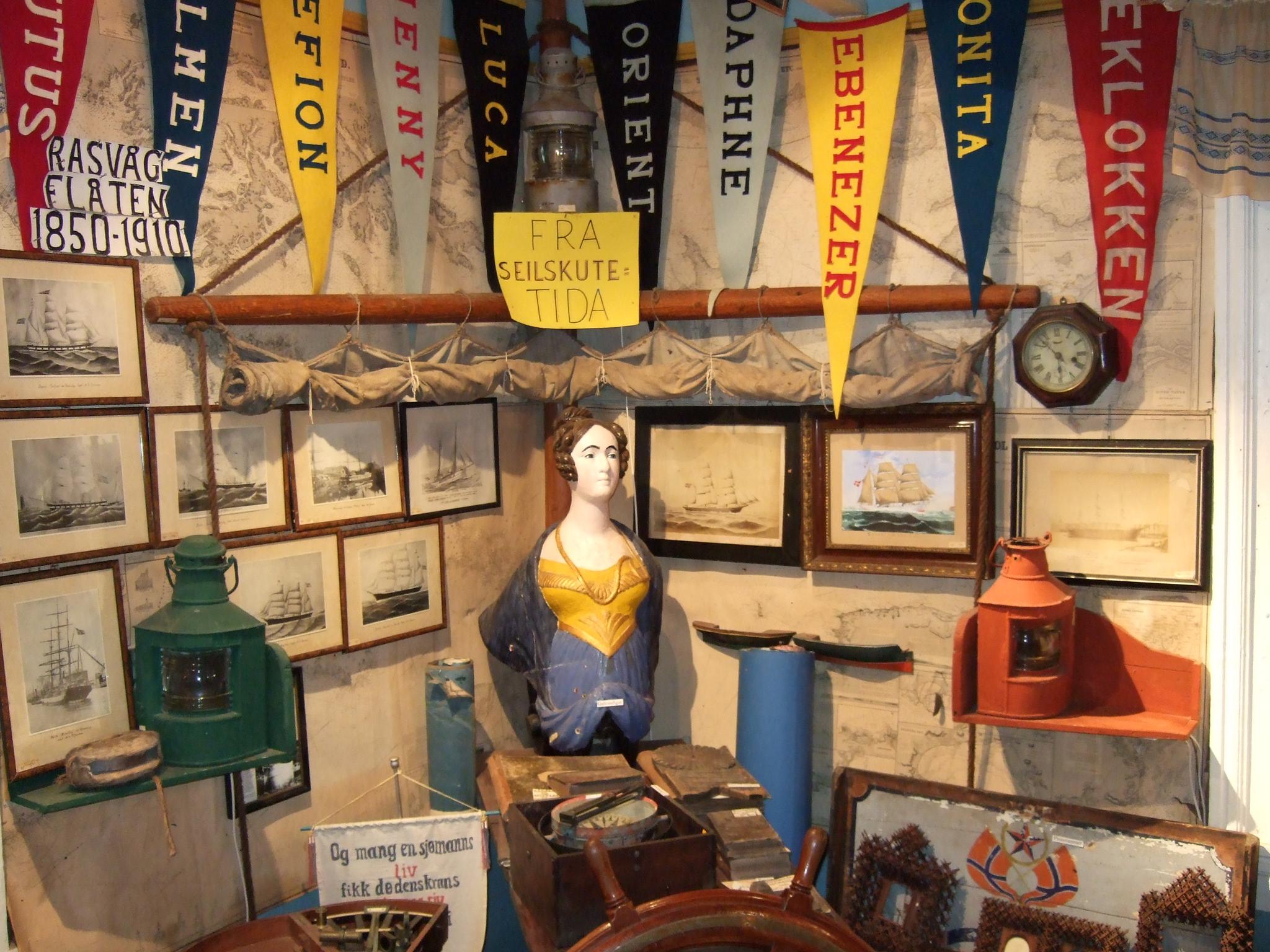
Egersund Fayancemuseum conveys the history of Egersund's Fayancefabrik (1847-1979). The factory used to make products with a lot of different decors. One of the decor techniques was using decals, which are ready-made motifs that can be transferred to stoneware. If you and your group want to try your hand at this, book this activity and take a trip to Egersund Fayancemuseum.
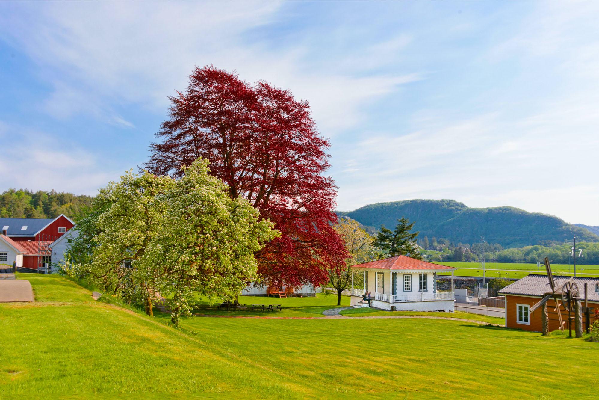


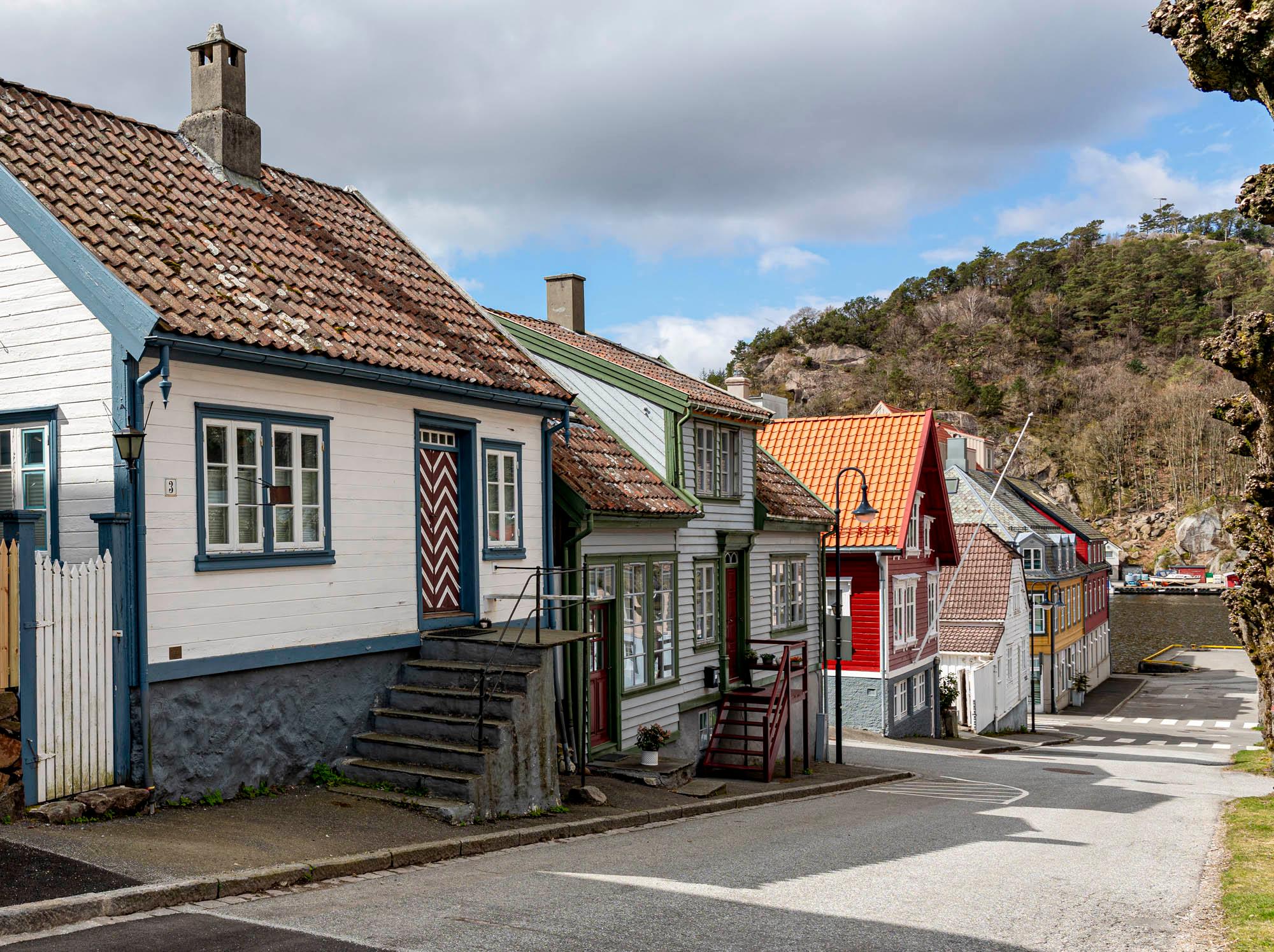

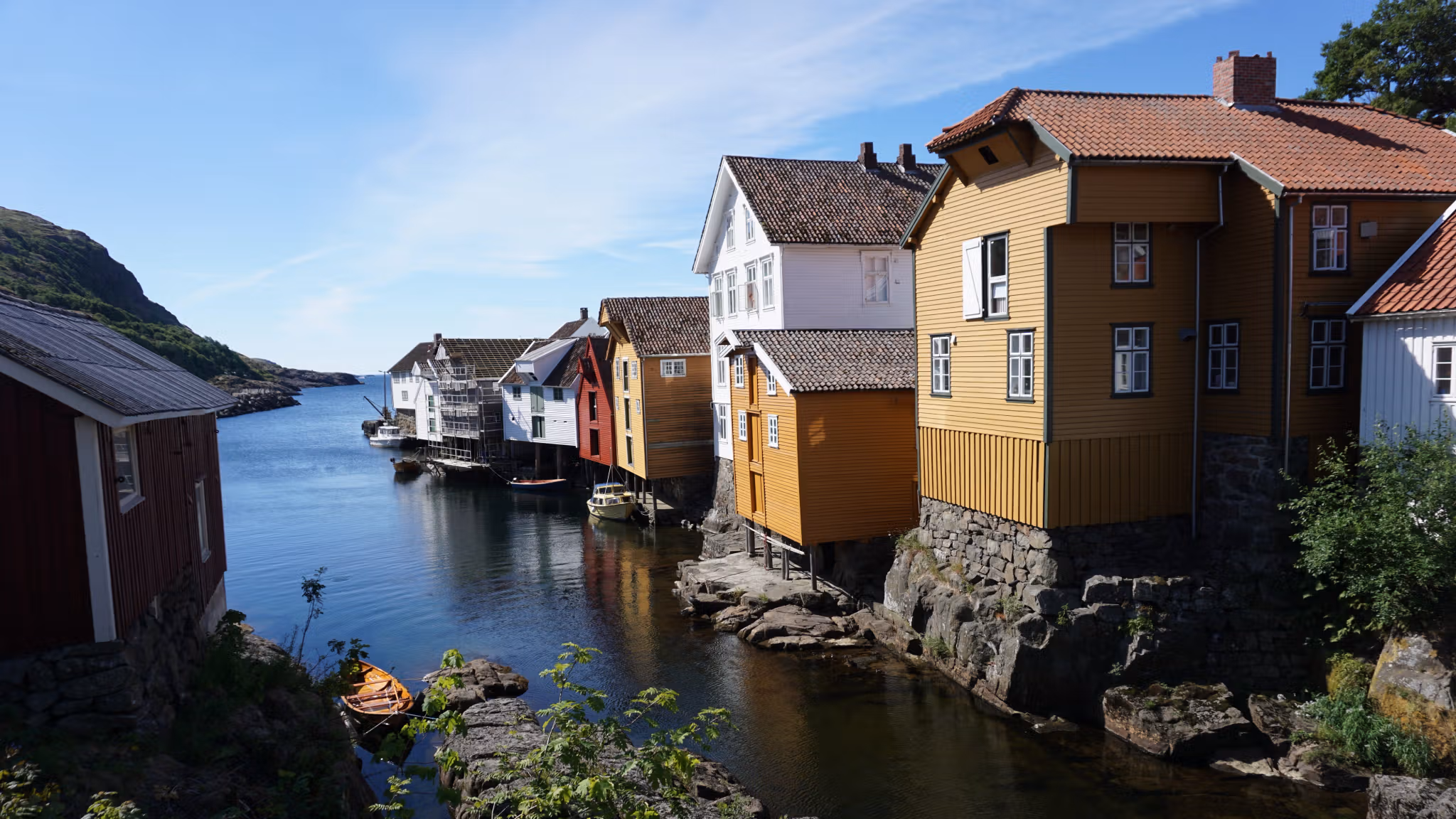
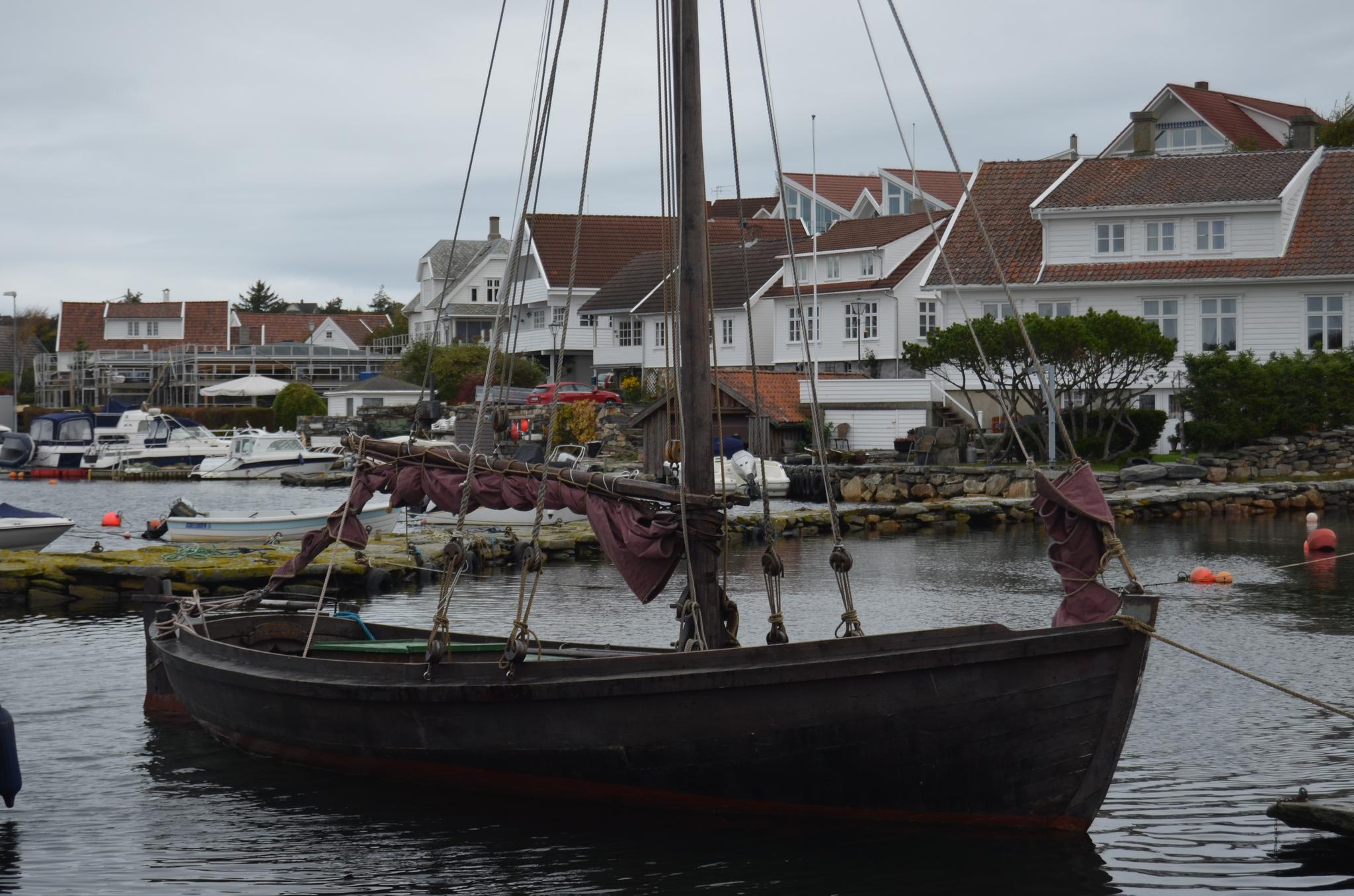
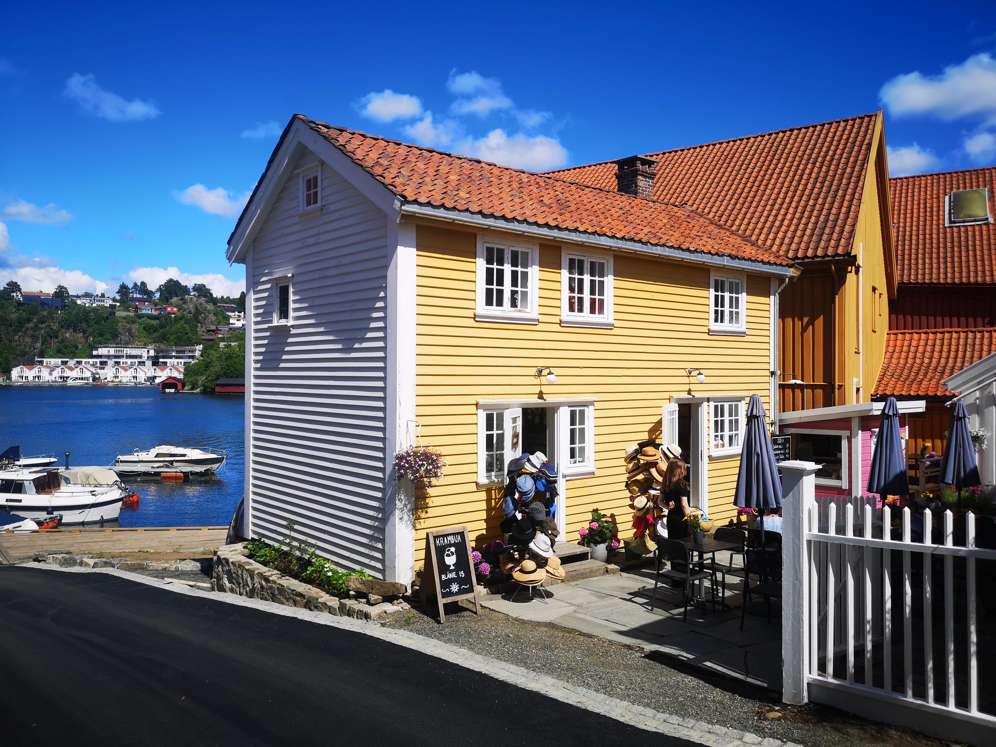
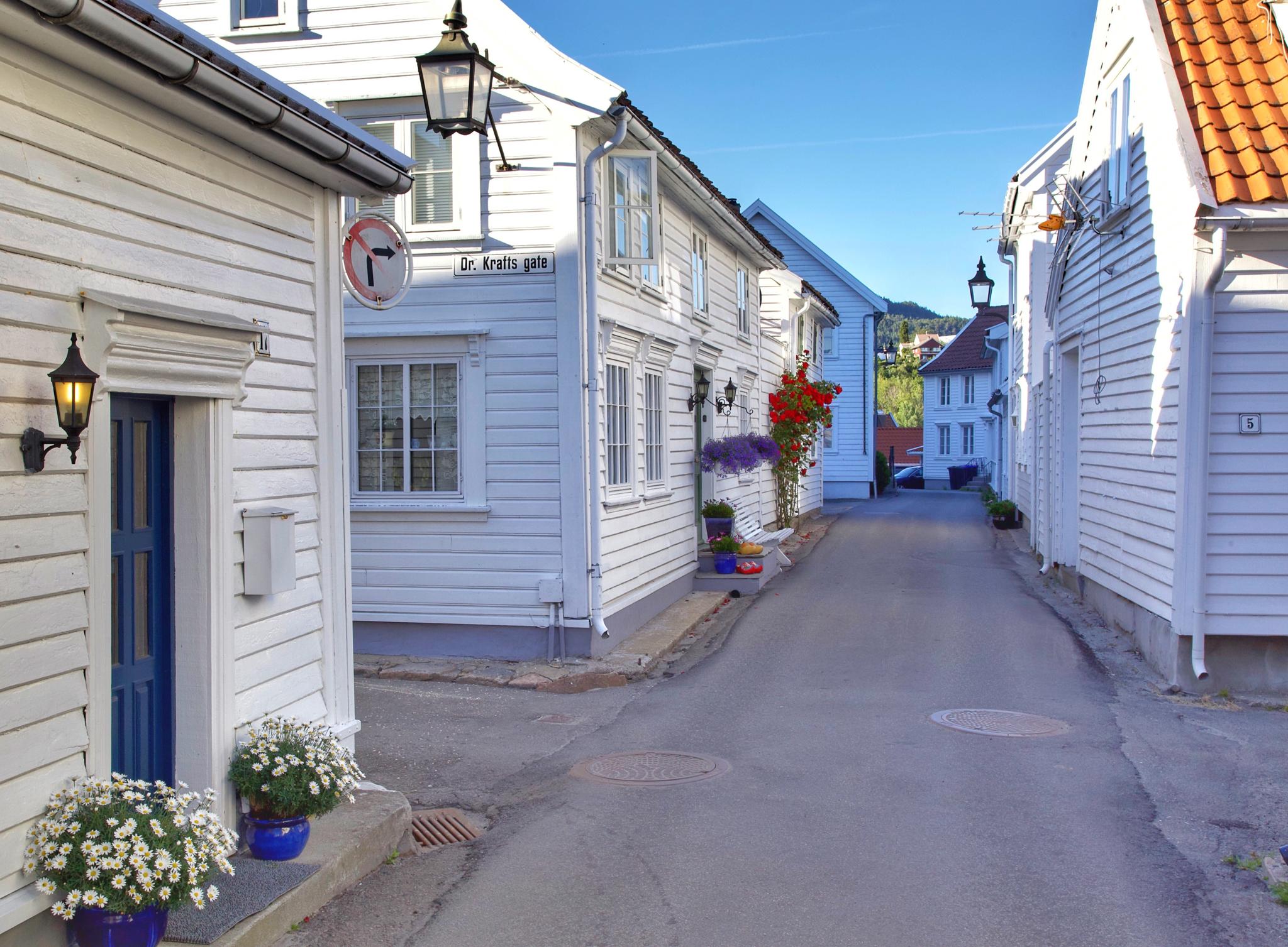
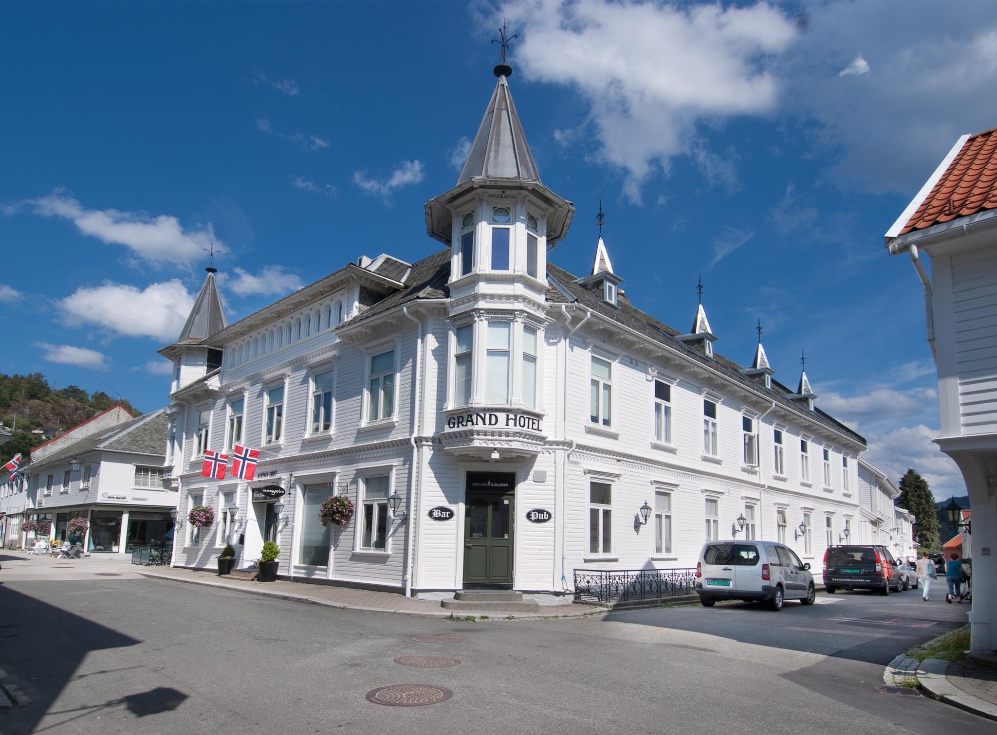
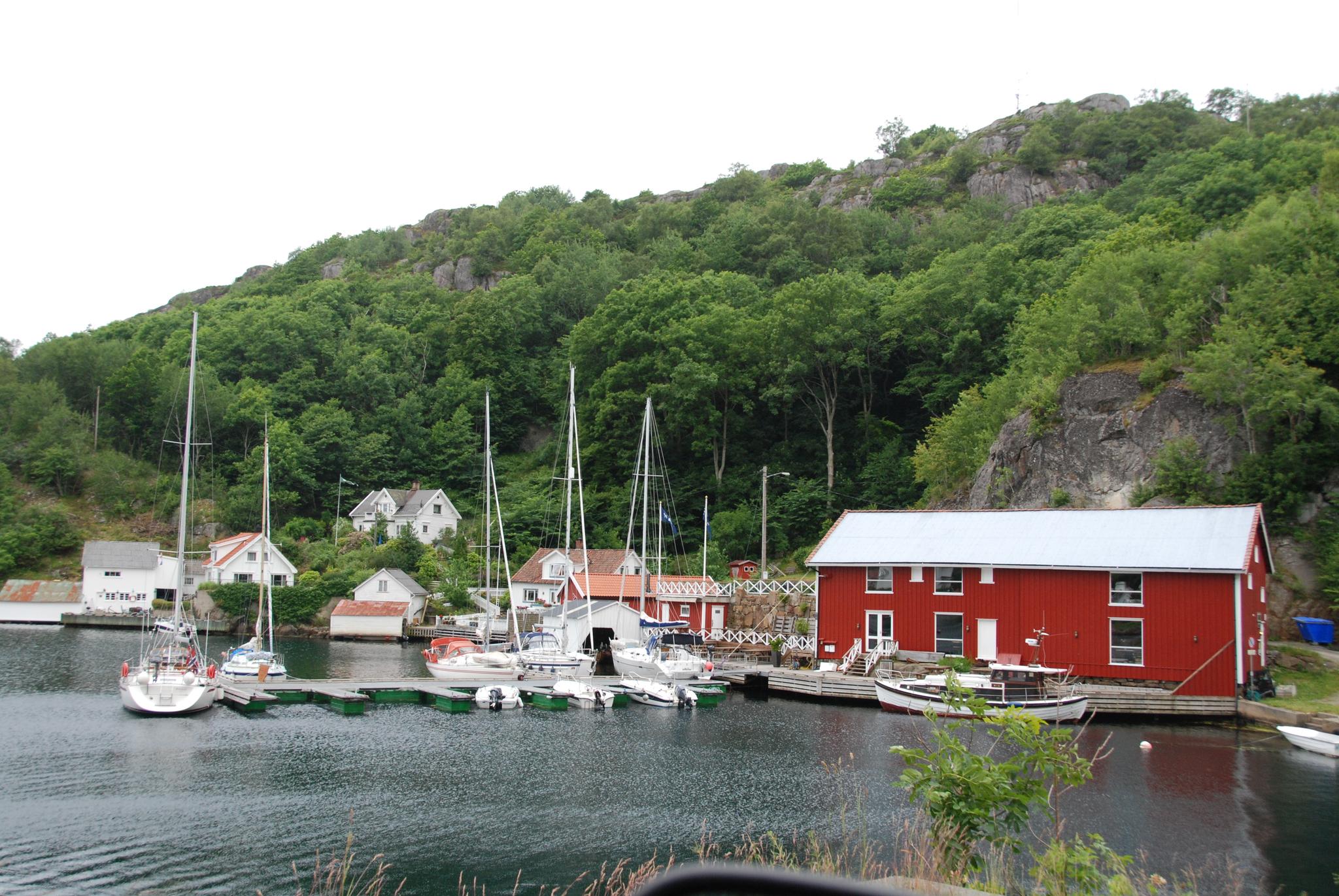
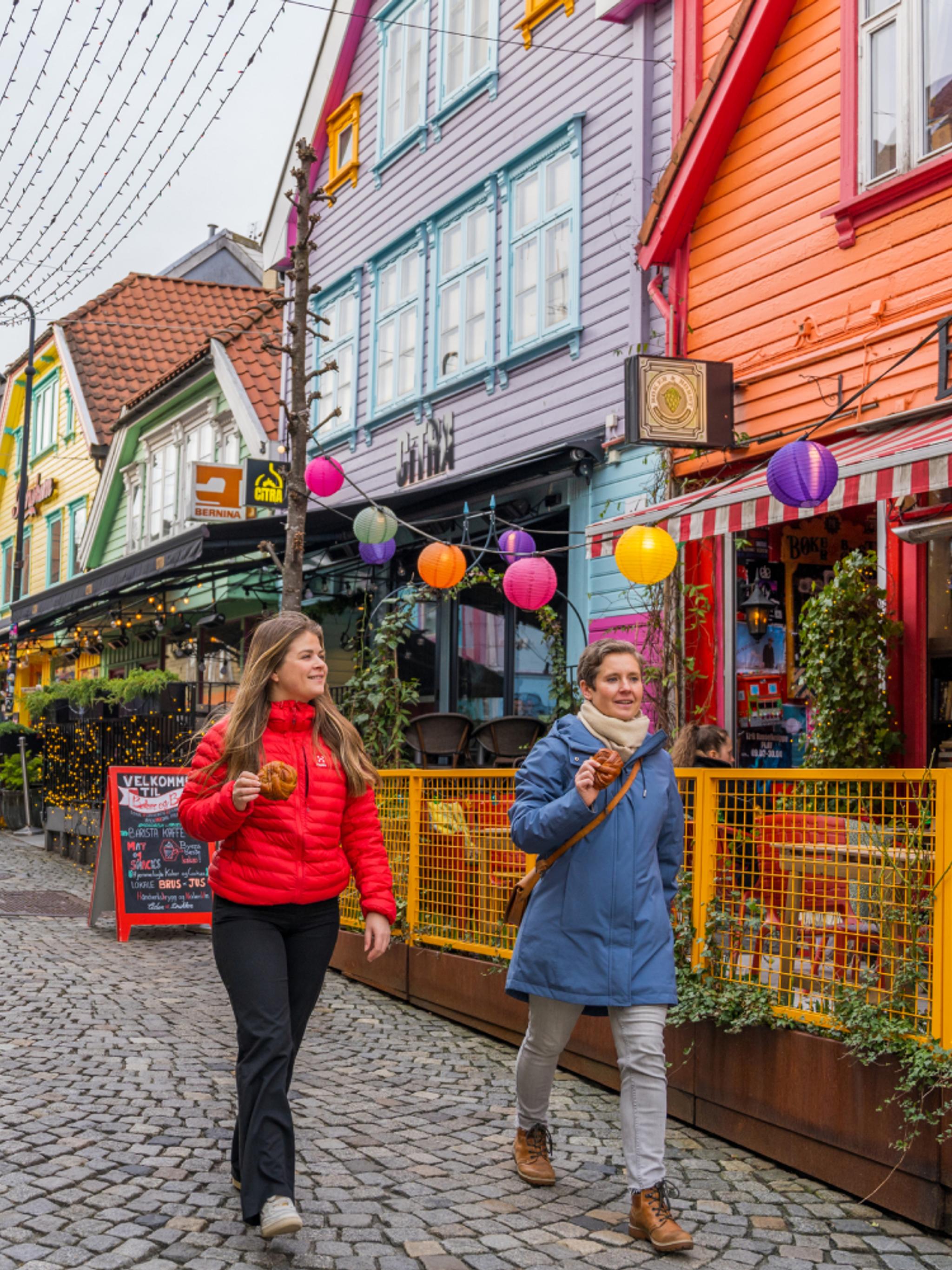
Take a detour to one of the loveliest coastal gems in southwestern Norway, Sogndalstrand!
Stay the night at the cultural hotel, and visit the small shops, galleries and tasty cafés.
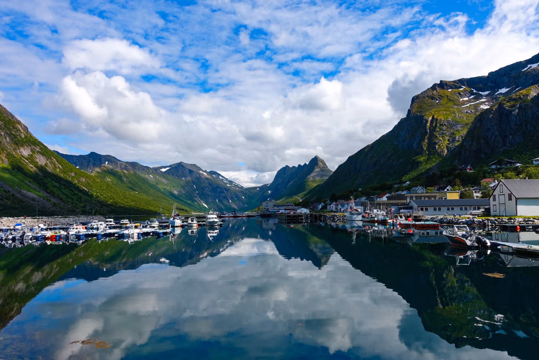
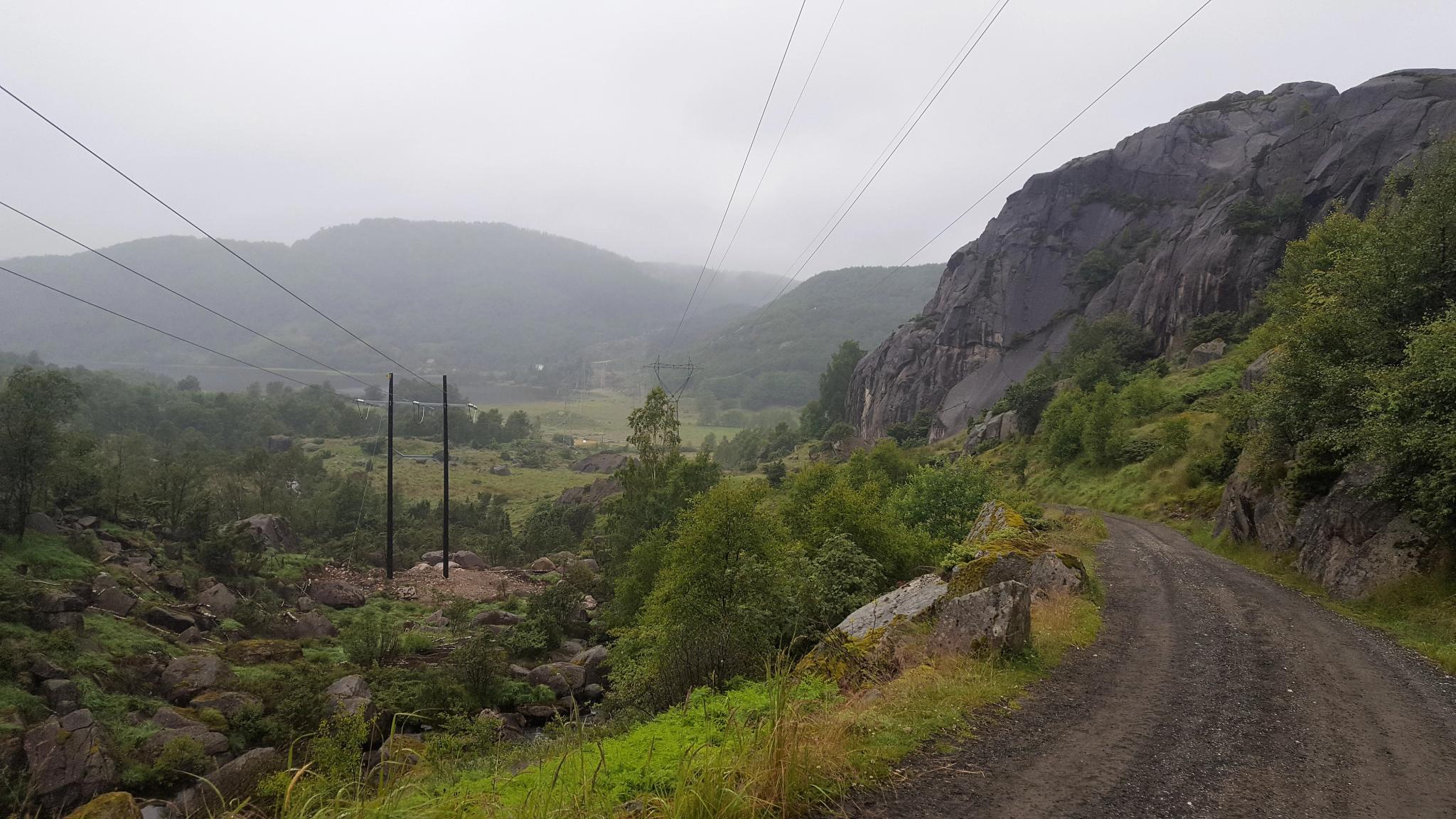
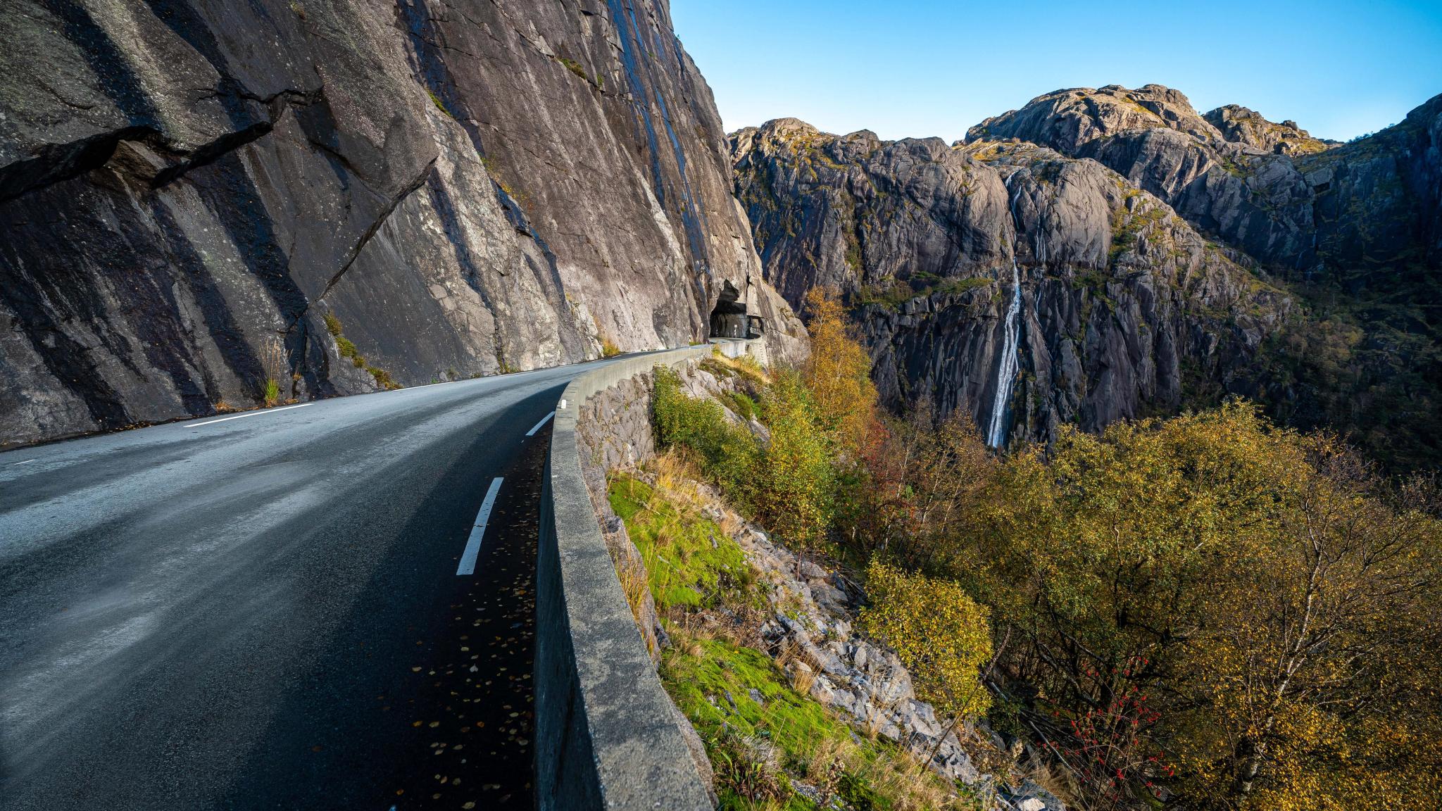
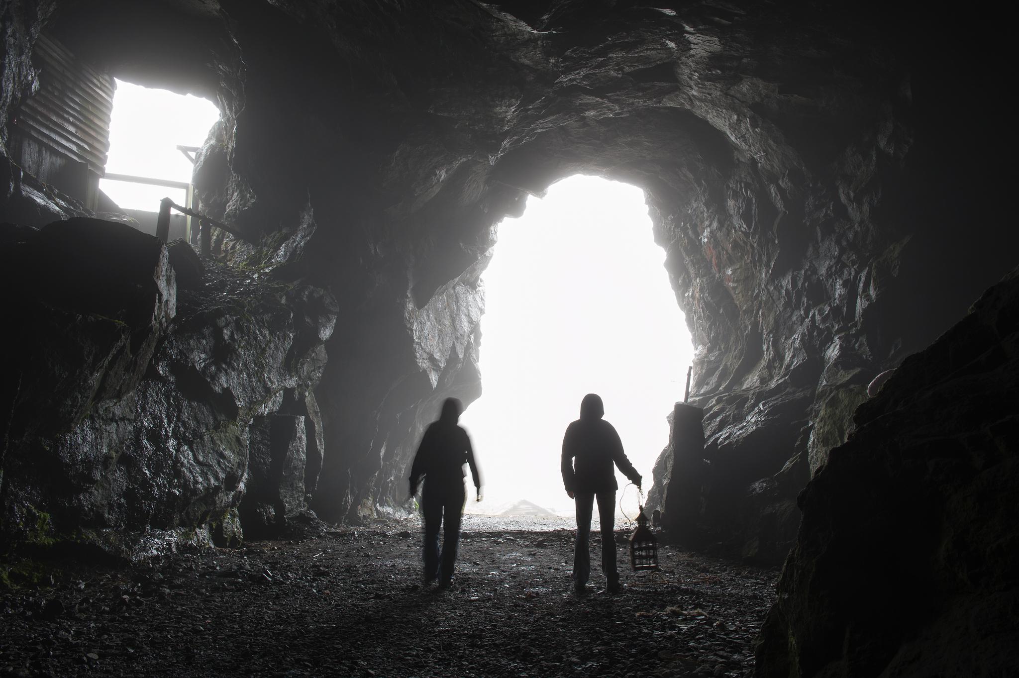
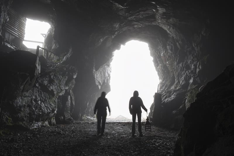
From here, the drive really gets fun! Follow the narrow, winding road to dramatic Jøssingfjord, full of fascinating war history and unique topography.
Visit the Jøssingfjord Science Centre and see the tiny houses at Helleren.
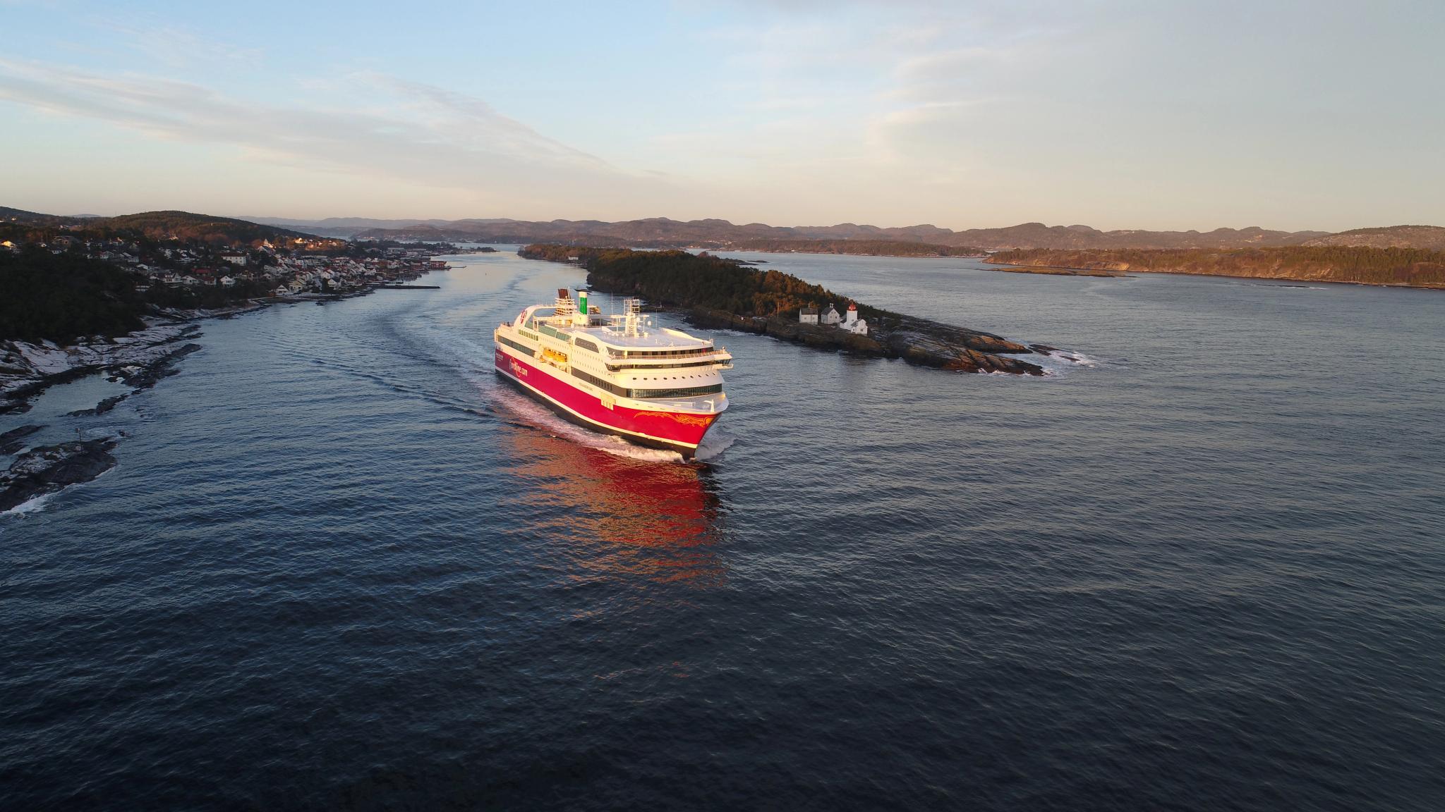
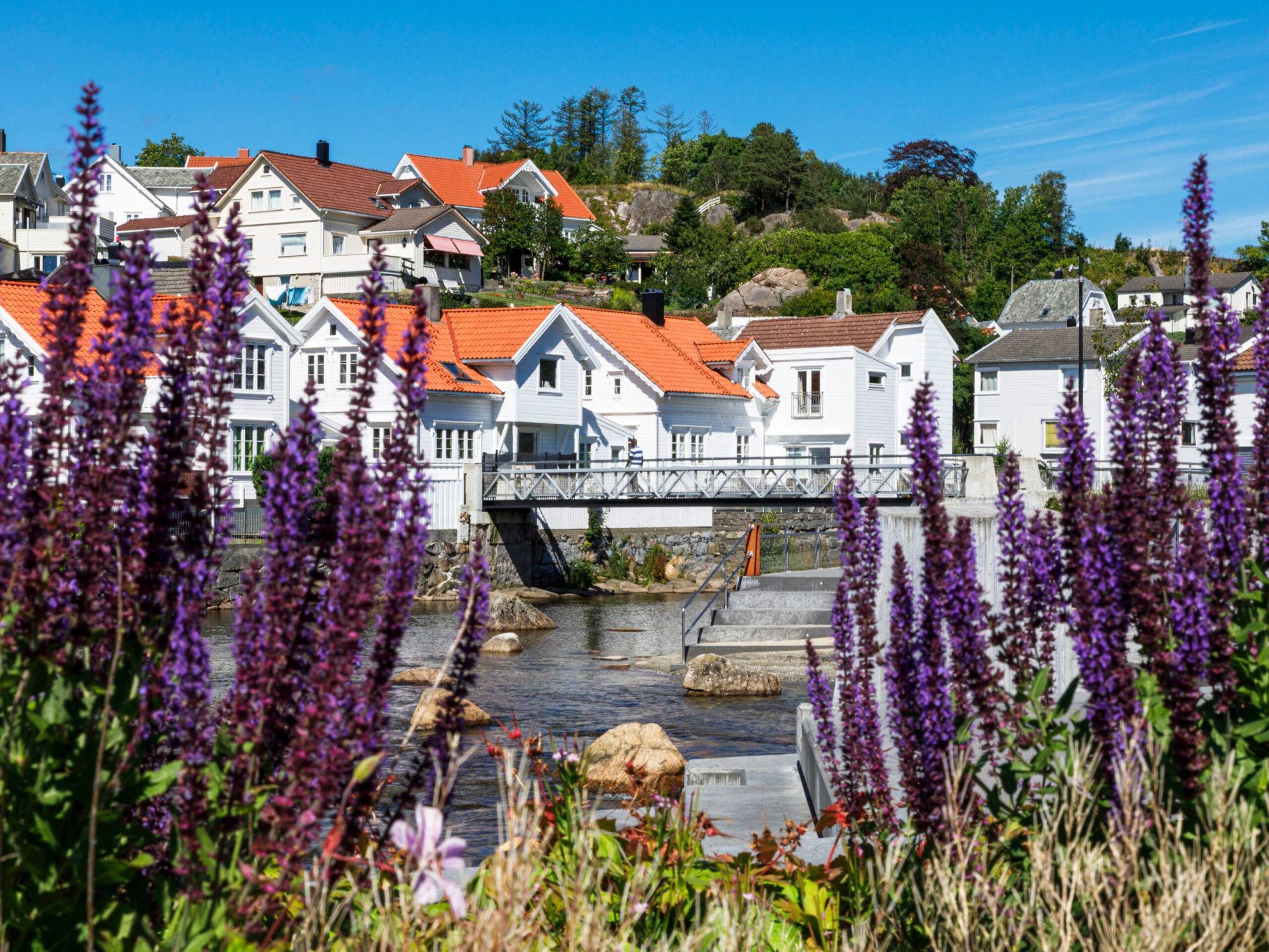
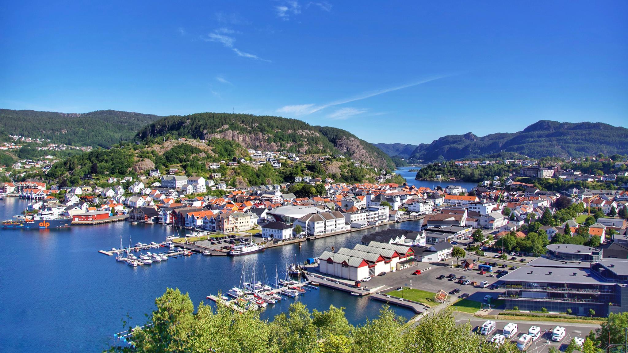
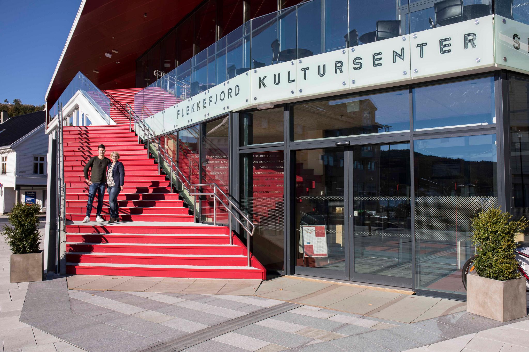
Enjoy stunning views the entire way to the end of the Scenic Route Jæren, which leads all the way to "Hollenderbyen" (The Dutch Quarter) in Flekkefjord – the westernmost town in Southern Norway.
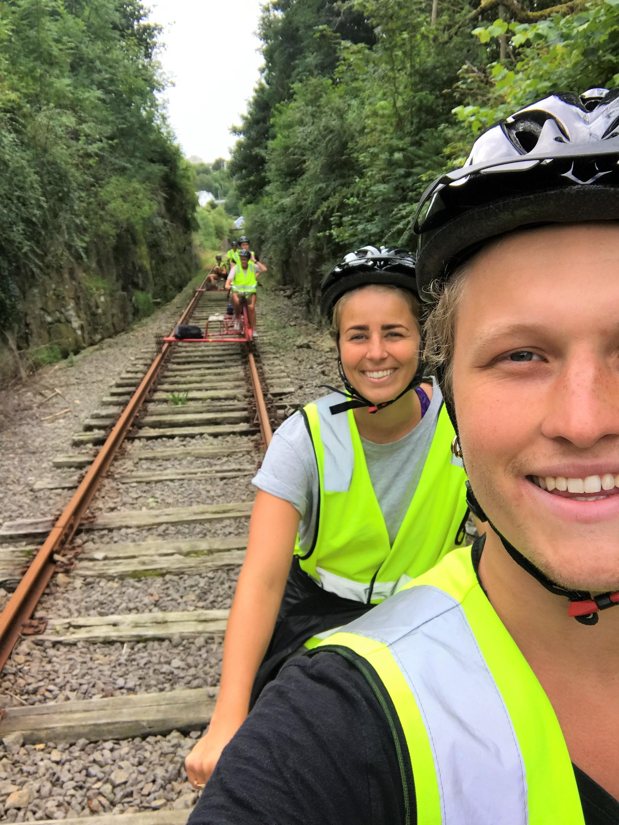
Go street art hunting and have a fun day with rail biking on the former Flekkefjordbanen railway line!
Nice to know before you go
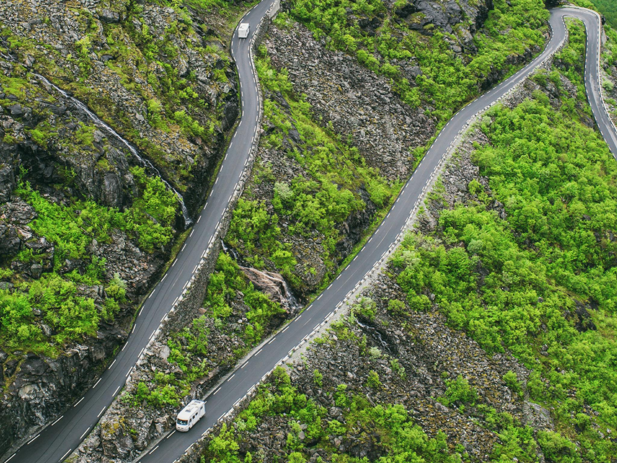
Take your time on the road, and keep an eye out for lay-bys so you can let oncoming traffic pass on narrow sections. Expect a lot of traffic during the busy summer months.
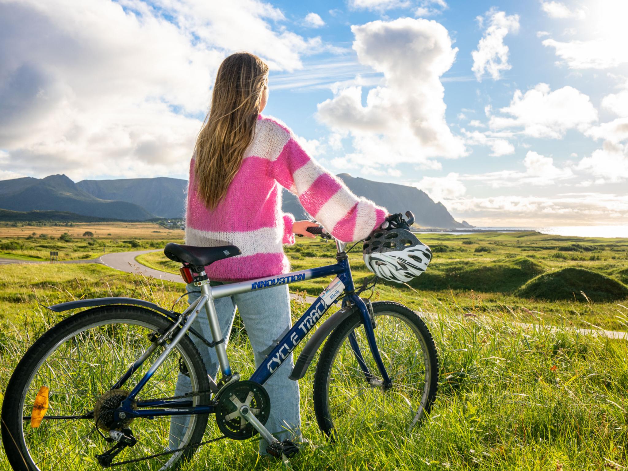
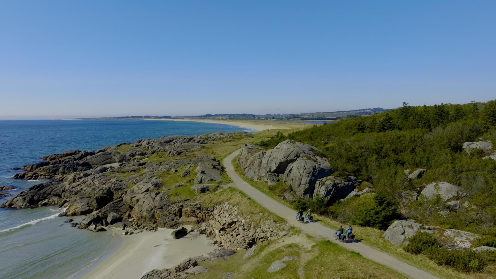
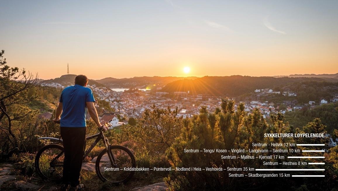
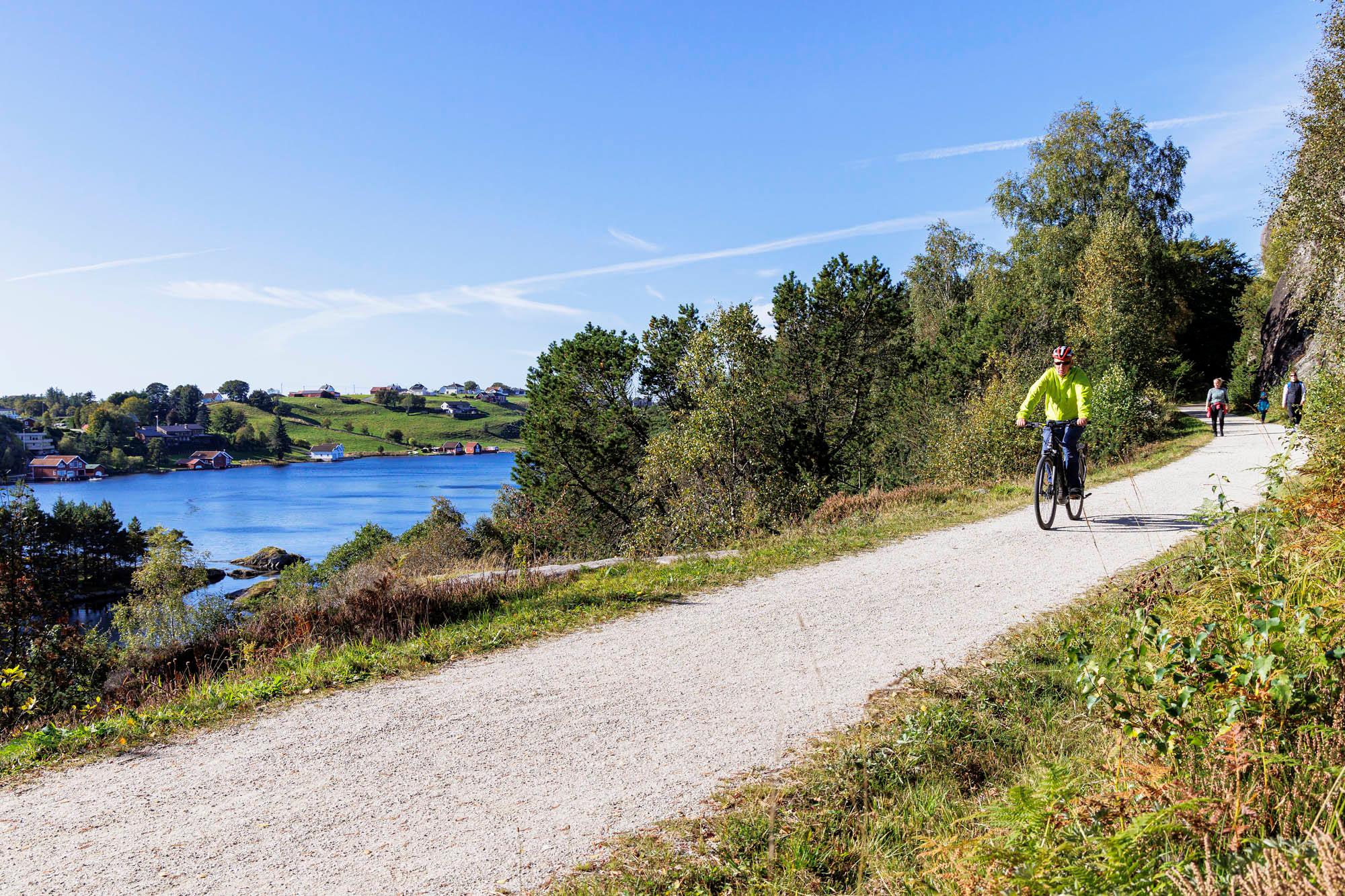
Information for cyclists: This route runs close to the North Sea. The open landscape can be windy, which can make cycling harder. If you prefer a route with less traffic, you can take National Cycle Route 1 (Kystruta), which runs just outside the main tourist route. This stretch is also included in the European North Sea Cycle Route (Eurovelo 12).
Source: Norwegian Scenic Routes
Explore more
Find things to do and places to stay and eat in Sogndalstrand, Jøssingfjord and Flekkefjord.


Explore the area
Check out these nearby destinations.

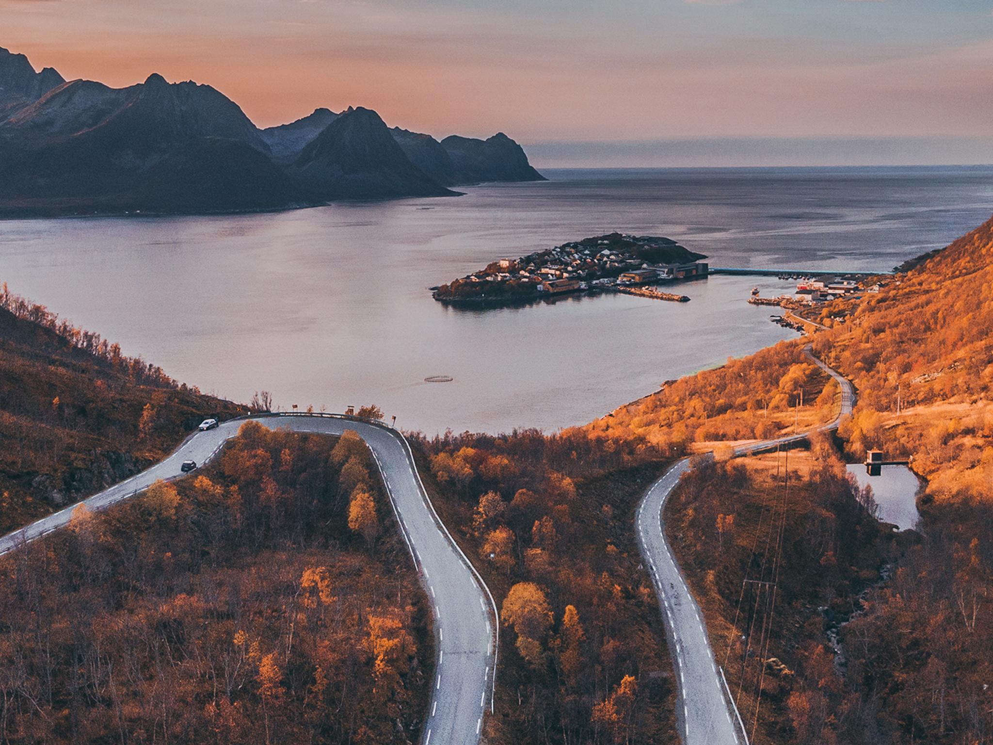
Norwegian Scenic Routes
Explore the most beautiful drives in Norway! Find out what to experience along the routes, including lesser-known gems, accommodation, and wonderful detours.