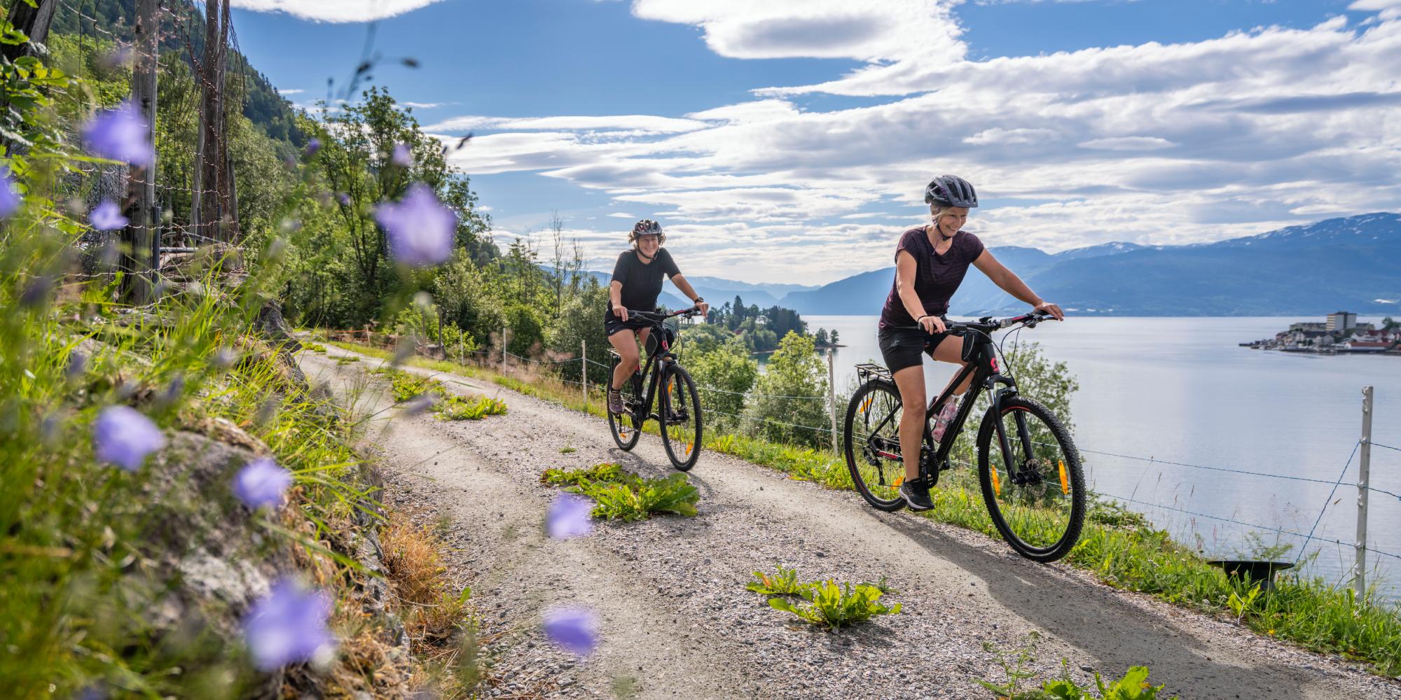
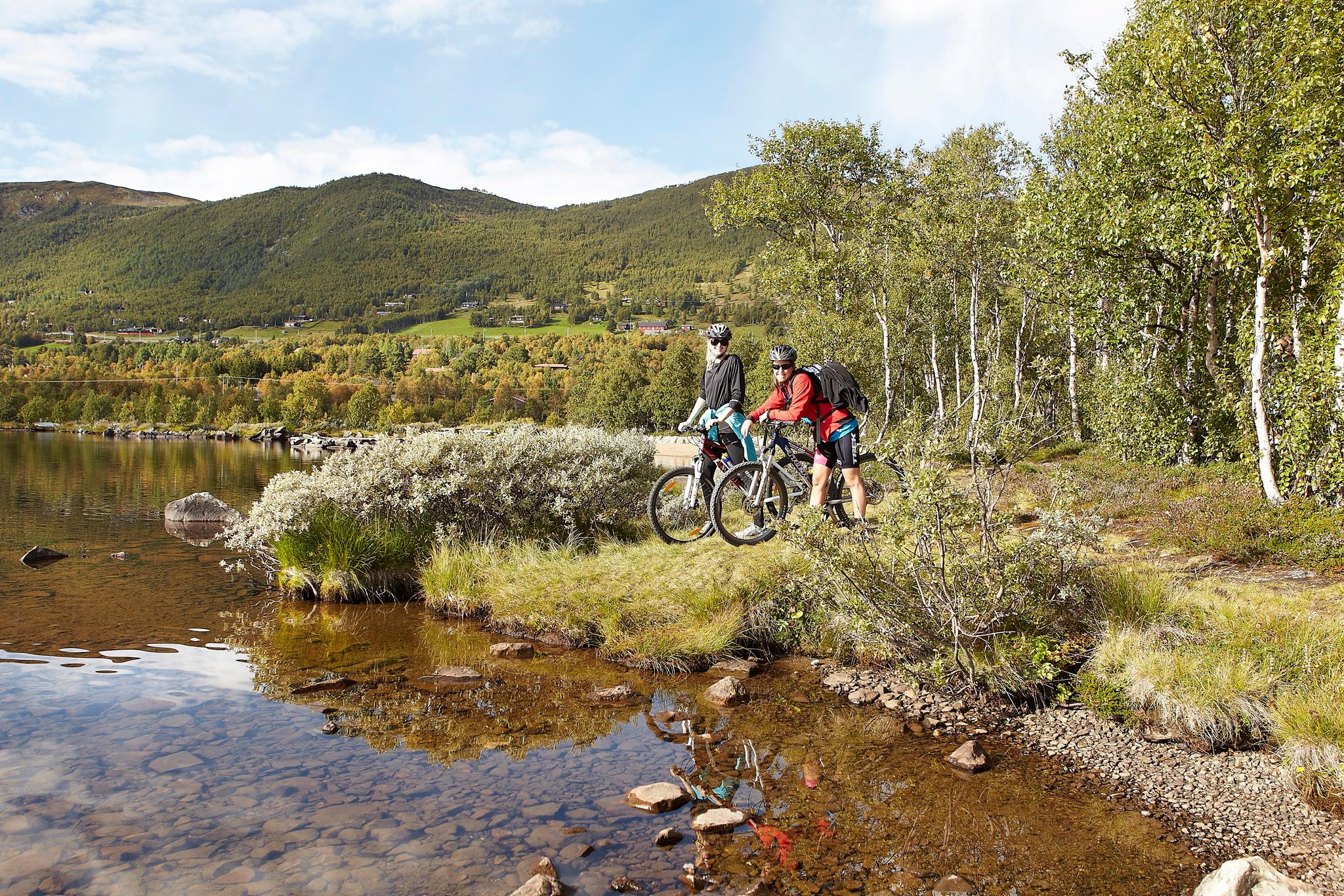
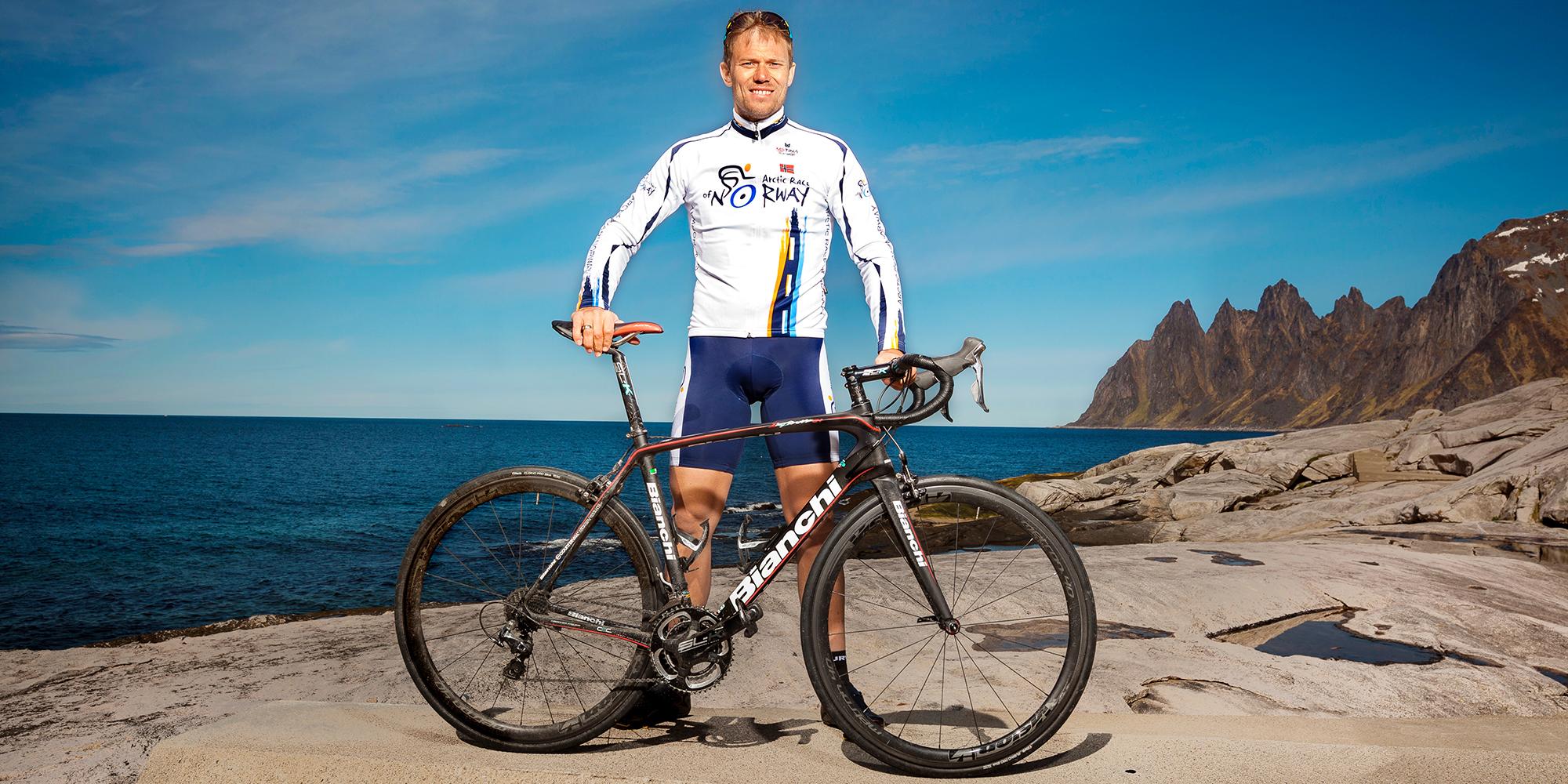
Are you an experienced cyclist, determined to see Norway with its many fjords and mountains from the seat of your bicycle? In that case, the national cycle routes may be just the thing for you.
Bike your way across Norway
Many countries, including Norway, have national cycle routes – a network of long-distance cycling routes meant for those who seek a proper challenge. And when we say long distance, we really mean it. Some of these routes are for adventurers and experienced cyclists only.
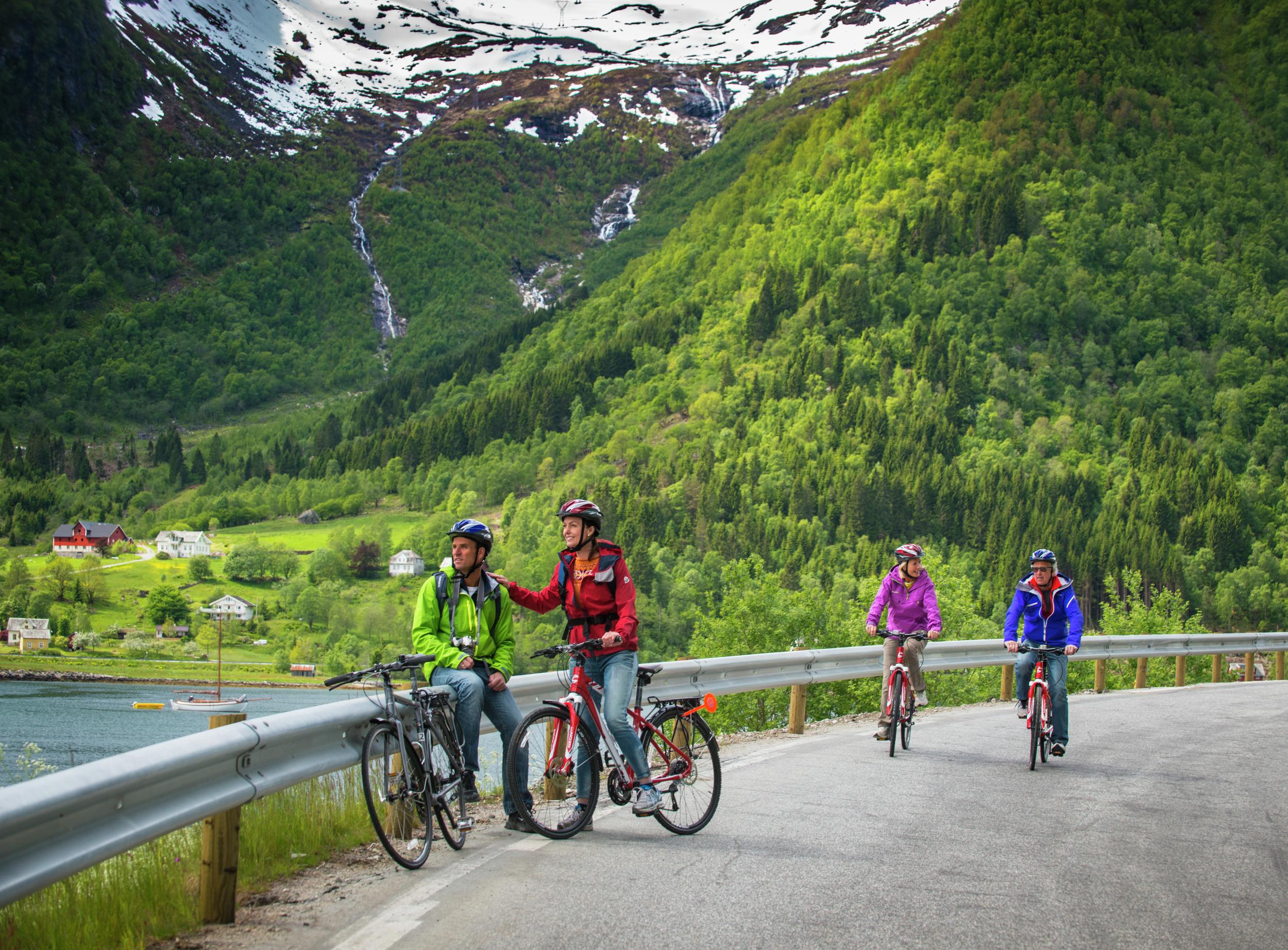
If you’re not in the cycling shape of your life, you can still enjoy parts of a longer route, and though some of the routes are quite demanding, others are shorter and well suited for anyone who can ride a bike and several of these are considered to be some of Norway's finest cycling trips.
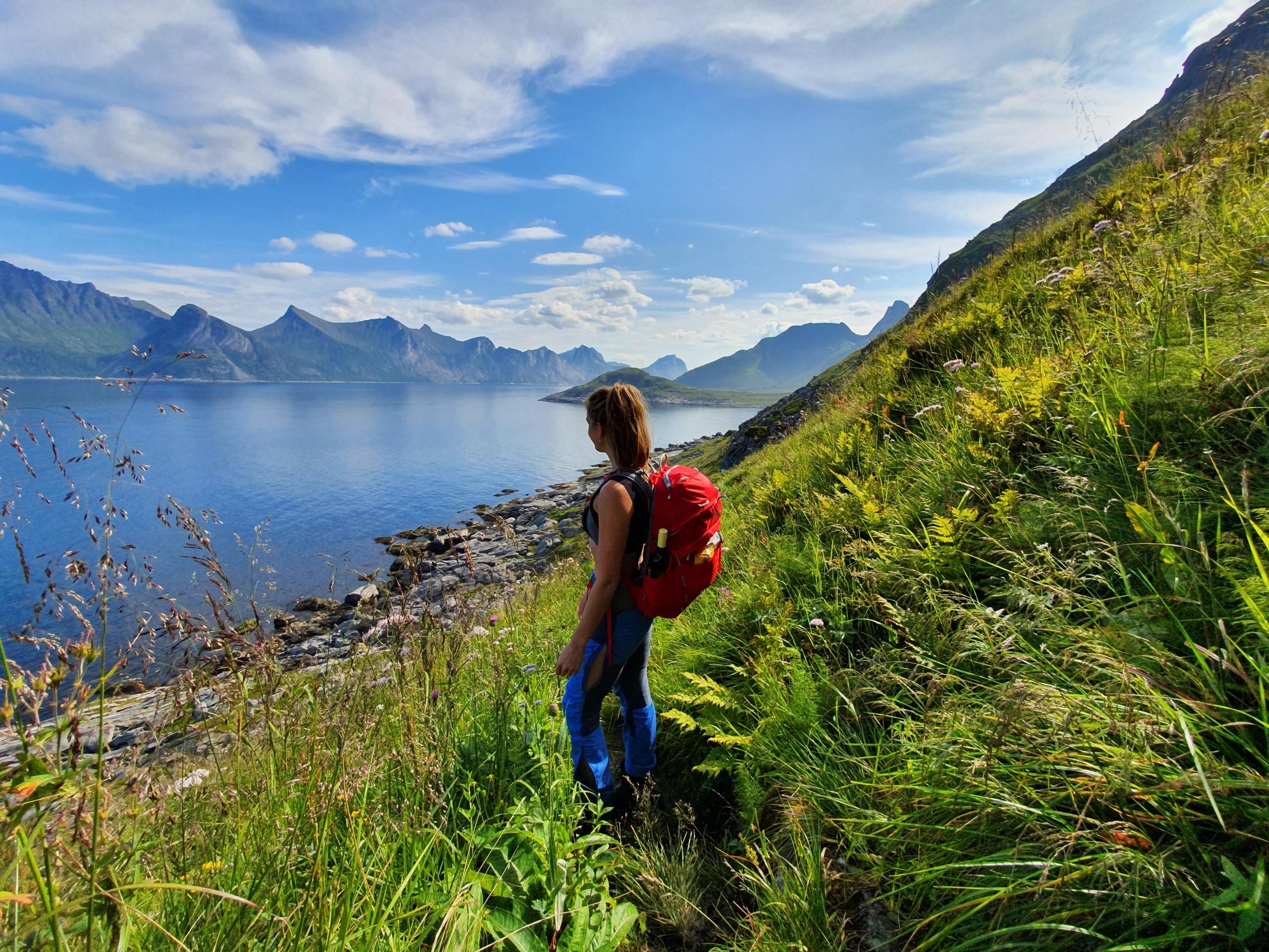
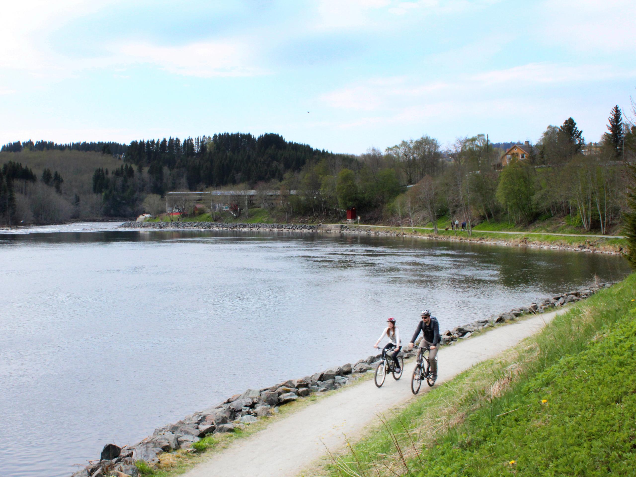
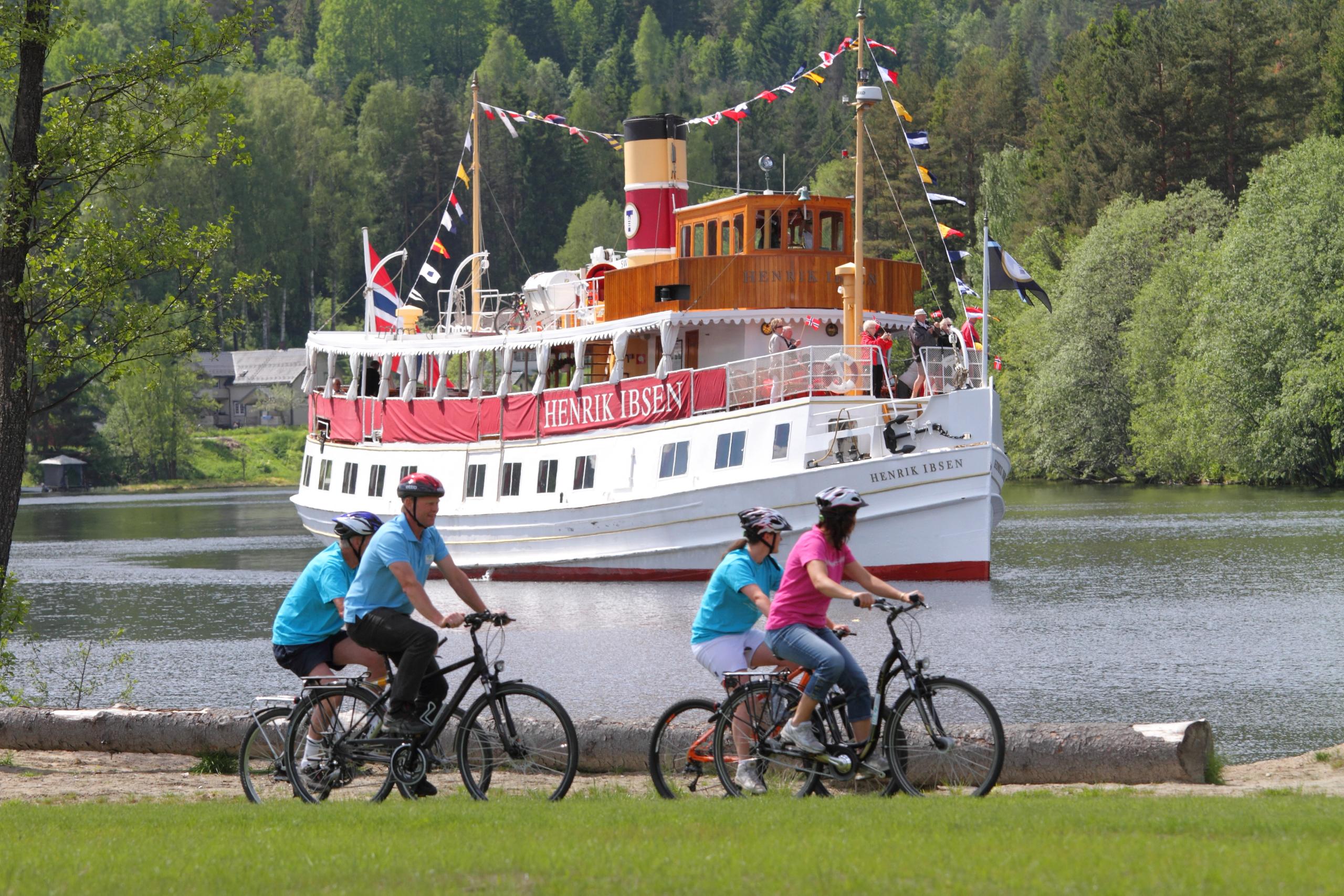
The national cycle routes guide you between cities and regions in Norway, avoiding most roads with heavy traffic. You can cycle along fjords, through forests and valleys, and even across mountains. On the way, you can visit exciting cultural and historical sites as well as small towns, scenic locations, and interesting attractions. Bring your fishing rod or eat your way through the local food culture.
Plan your trip
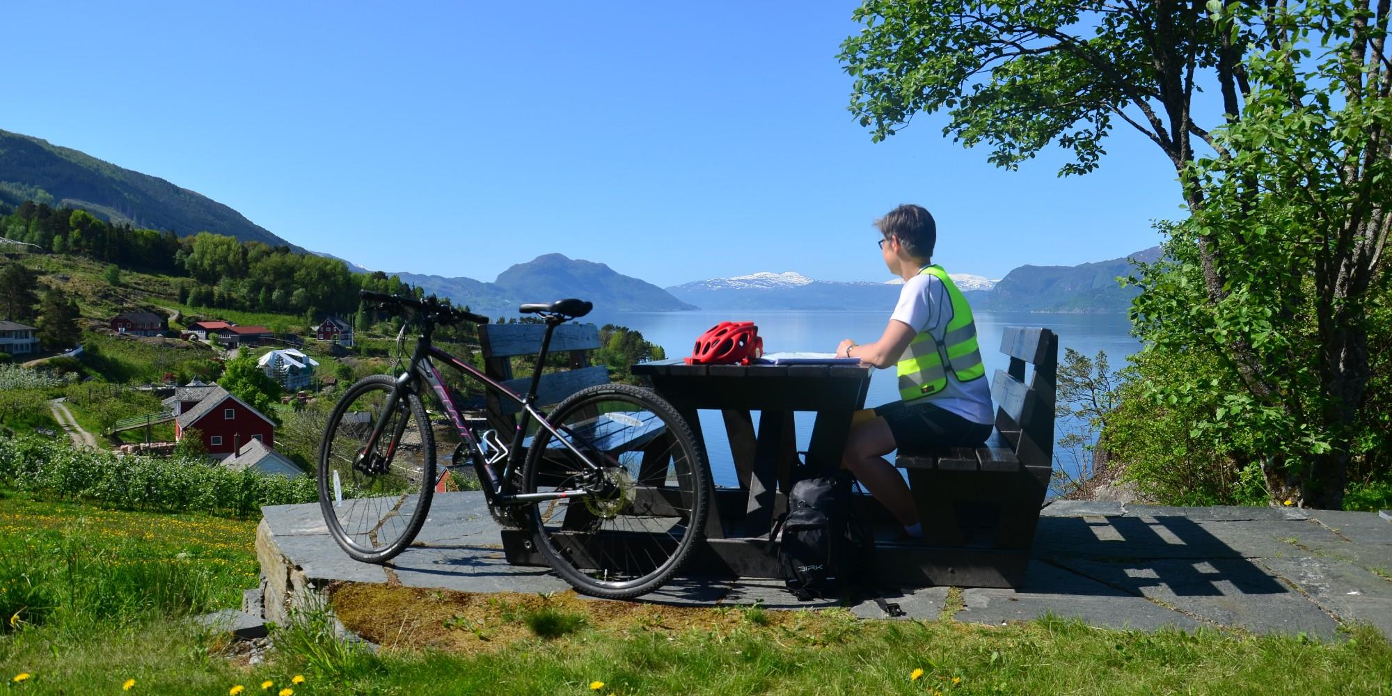
If you are tempted to try one of the routes, we recommend that you contact the relevant tourist information offices. They will tell you about the areas that specific route will take you through. Some of the routes are also part of the European cycle route network EuroVelo.
Not all of the routes are properly signposted yet, so bring a map and study it before you go. You can also get a lot of route information on bikemap.net.
You can rent bikes and e-bikes all over the country. You can also hire guides, get your luggage transported, find cyclist-friendly accommodation and eateries, and buy cycling packages. Go straight to the bottom of the page for cycling offers.
Before you hit the road, please note that it’s forbidden to ride your bike in many of Norway’s tunnels. cycletourer.co.uk has a useful map over which Norwegian tunnels you are allowed to cycle through.
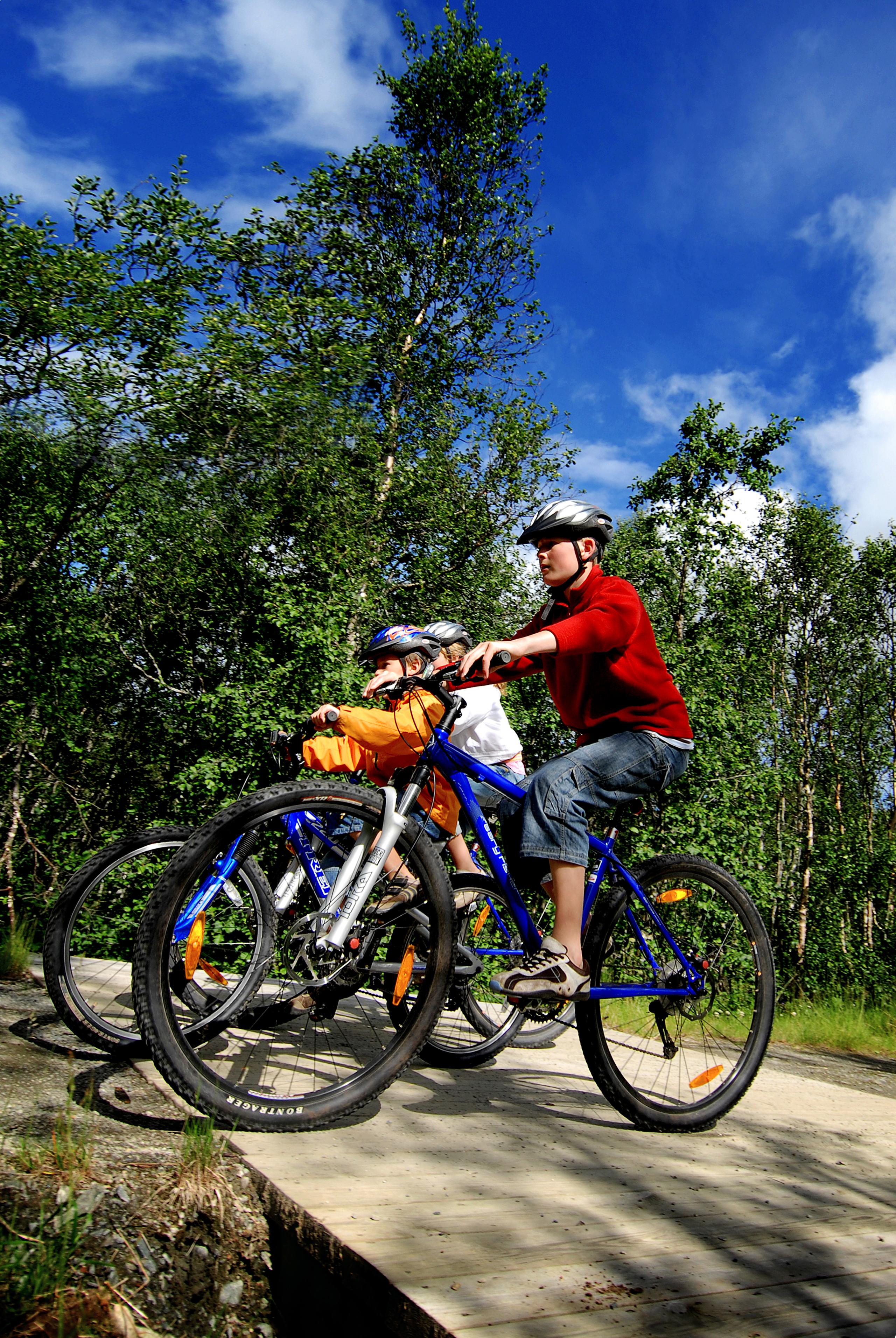
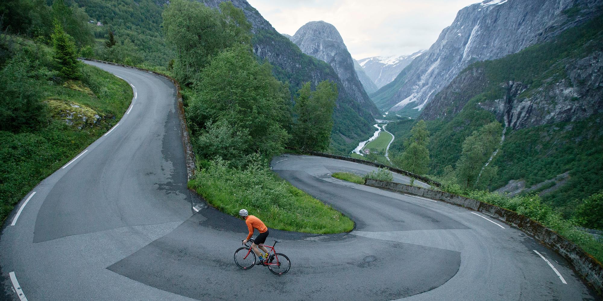
Below, you’ll find the nine National cycle routes. Now, get going! Just remember to always use your helmet.
The coastal route
Svinesund – Kristiansand – Bergen – Trondheim – North Cape – Kirkenes
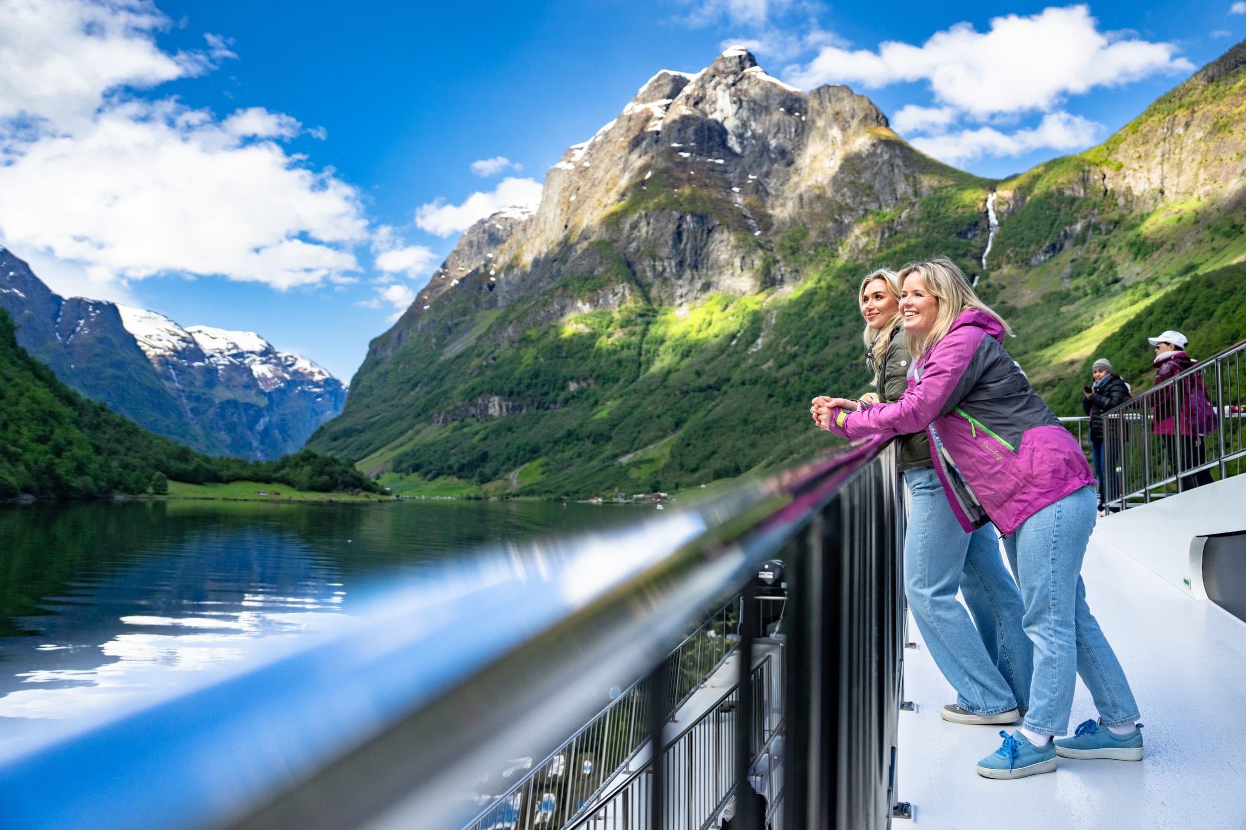
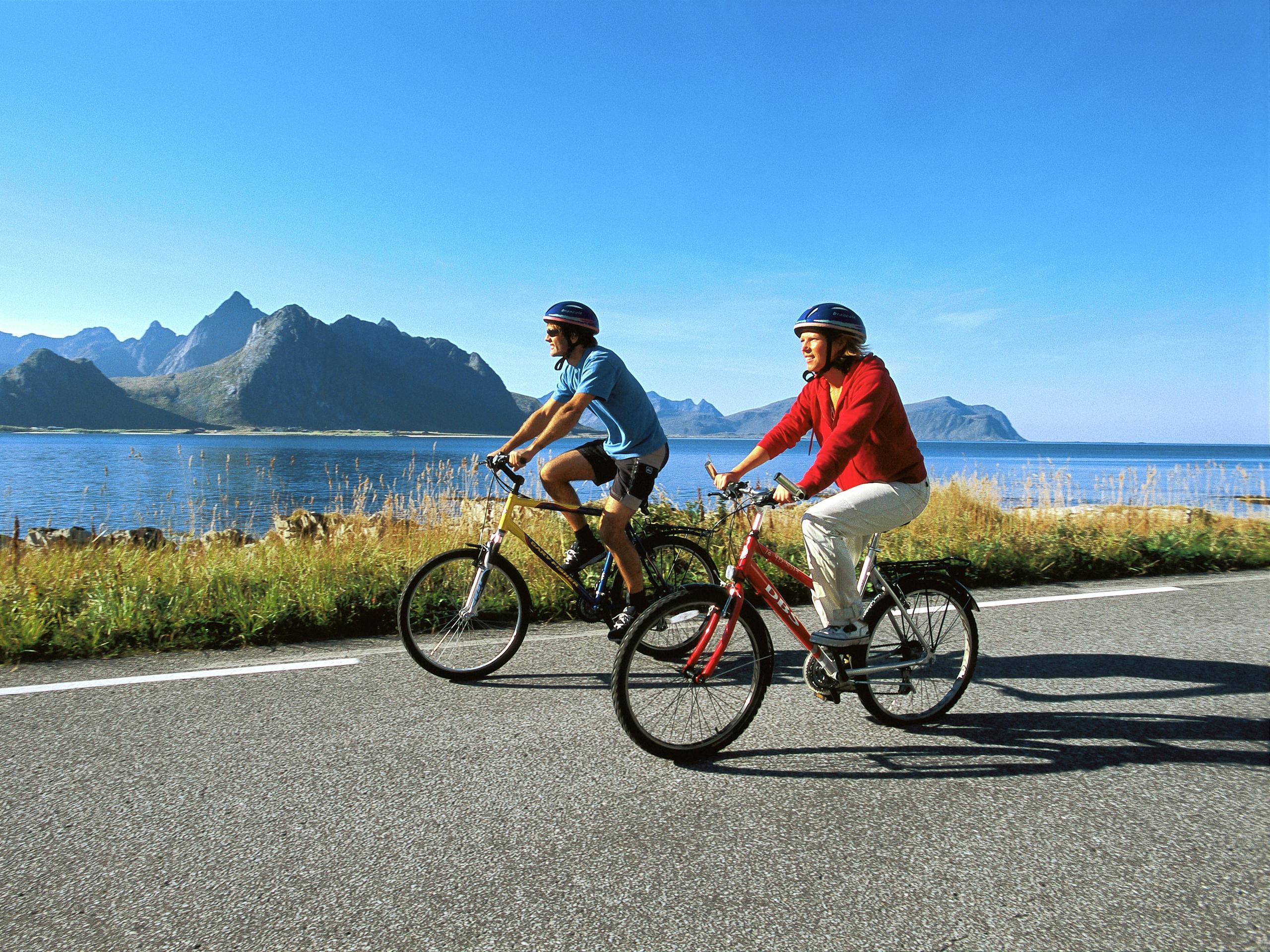
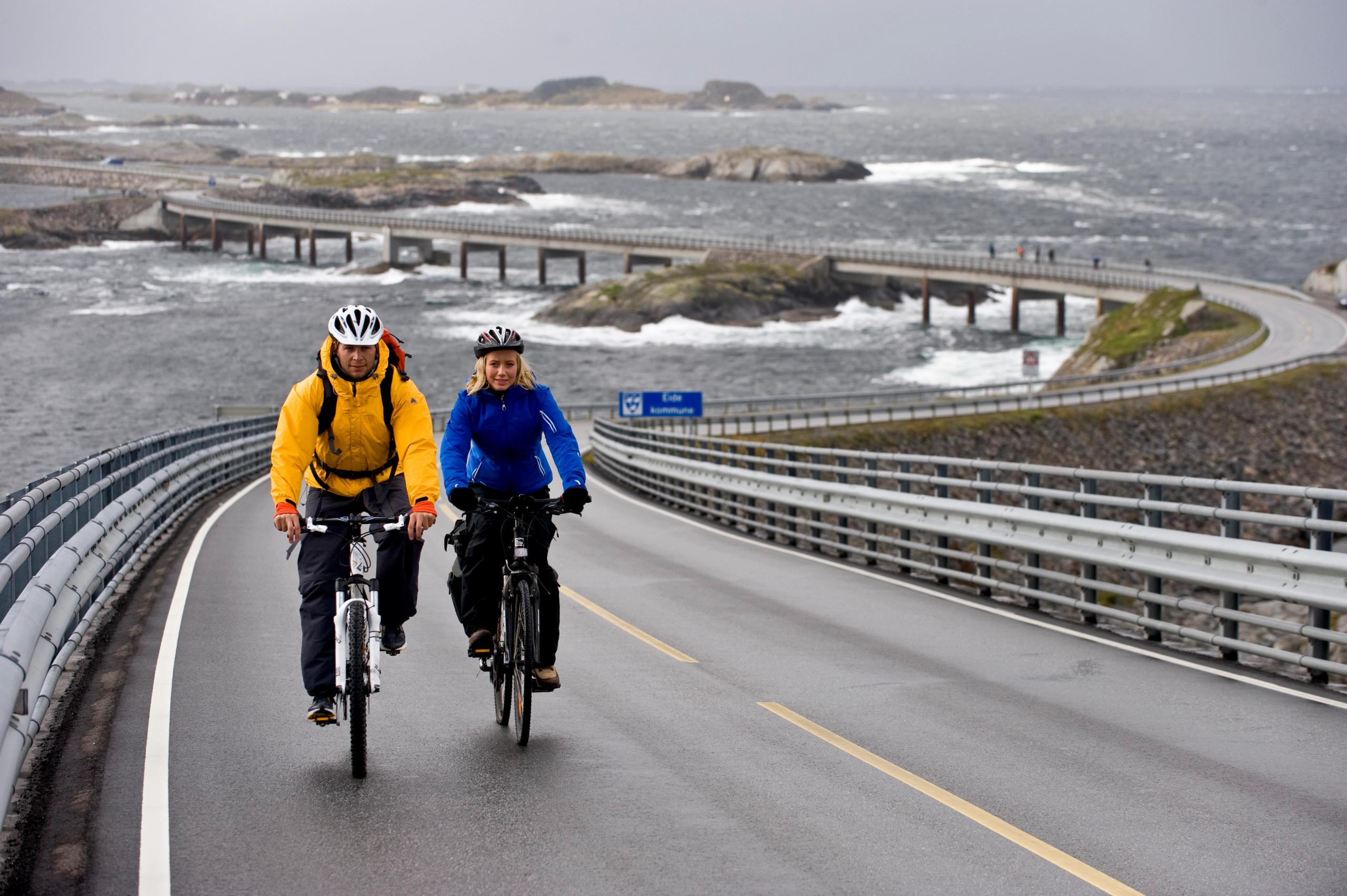
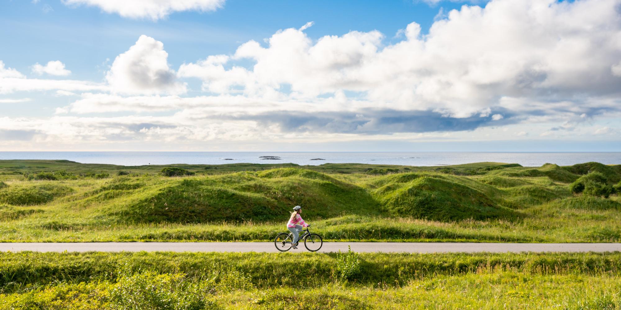
The Coastal route is the longest of the national cycle routes – about 4,500 kilometres (2,796 miles) – and varies between easy and more challenging terrain. It follows the long and scenic Norwegian coast from the east to the south, through Fjord Norway with the most famous fjords, and all the way up to Kirkenes on the Russian border in Northern Norway. Its also a part of the European long distance cycle routes EuroVelo, where it covers the entire Atlantic route and parts of the North Sea route.
We recommend that you cross some fjords by alternative transport such as ferries to avoid long detours around each fjord. The route also includes some tunnels.
The canal route
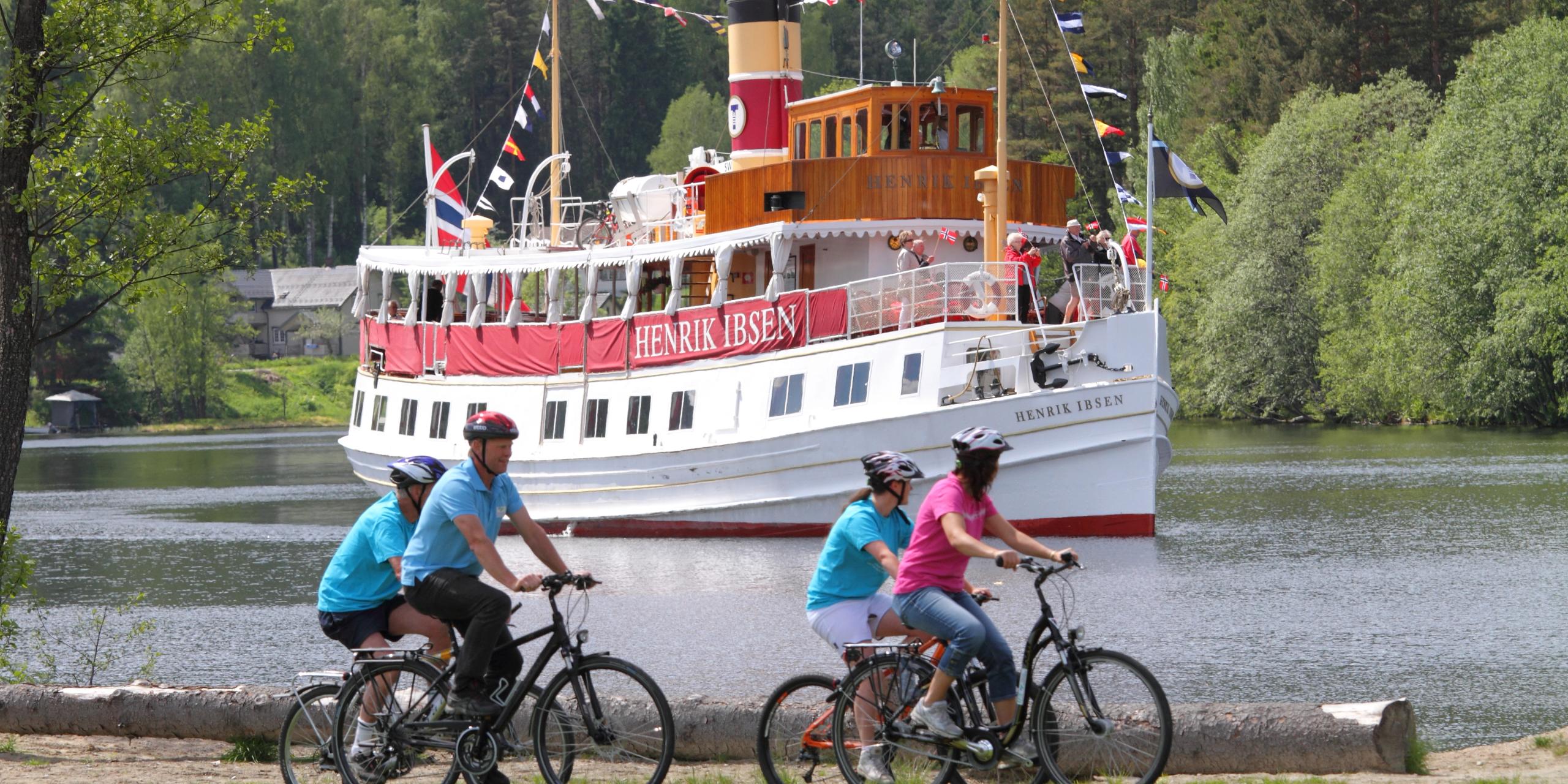
Porsgrunn – The Telemark Canal – Dalen – Stavanger
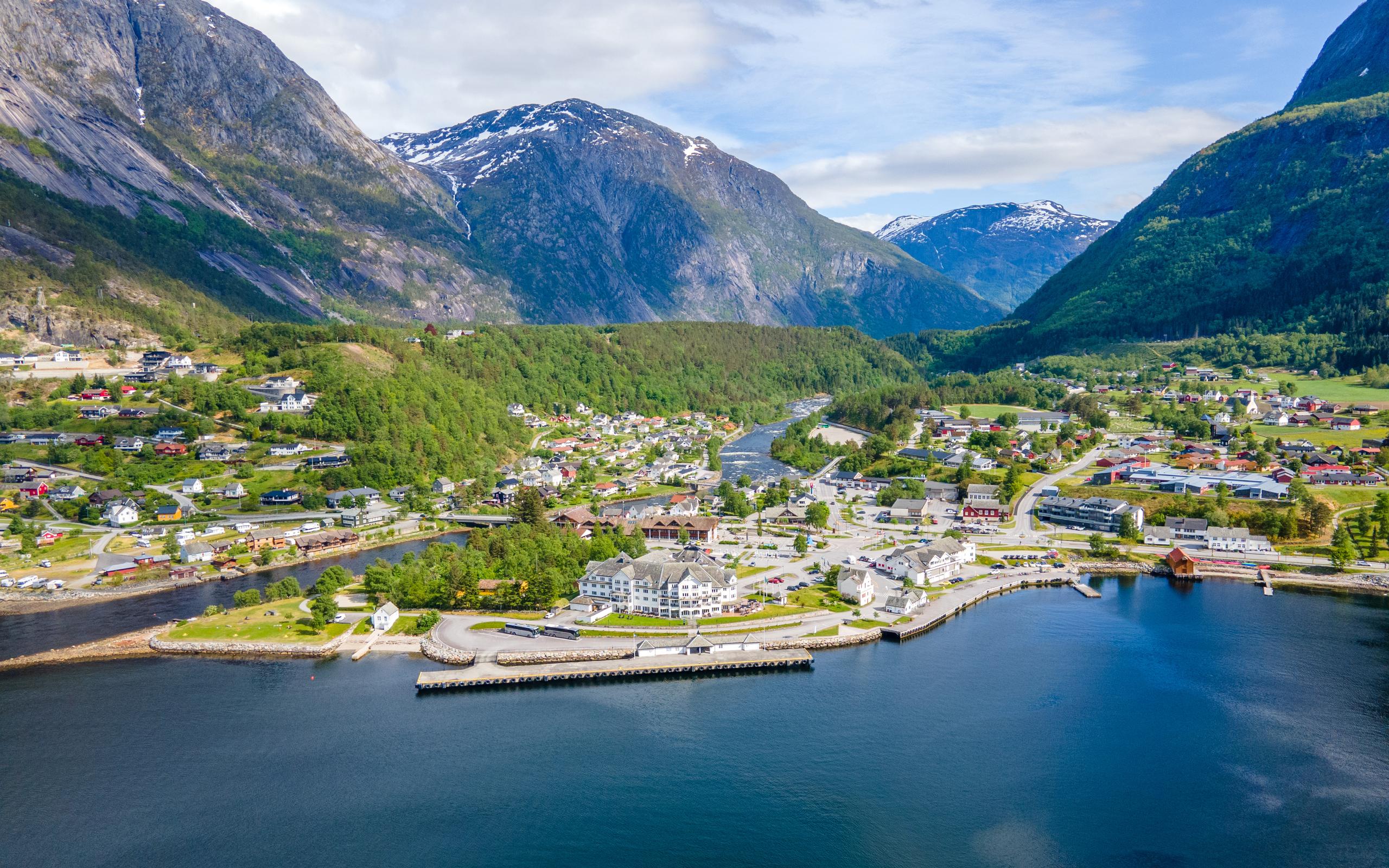
The Canal route takes you right across Southern Norway, from Porsgrunn via Skien and the Telemark Canal, which was etched into the mountain in Telemark more than 100 years ago and known as “the eighth wonder of the world” when it was finished, to Dalen and all the way to the coastal city of Stavanger. Though the Canal route crosses the country in rather hilly terrain, this route is actually one of the shortest national cycle routes at 466 kilometres (290 miles).
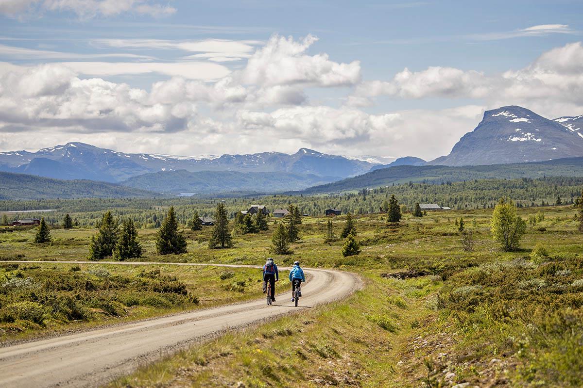
Fjords and mountains
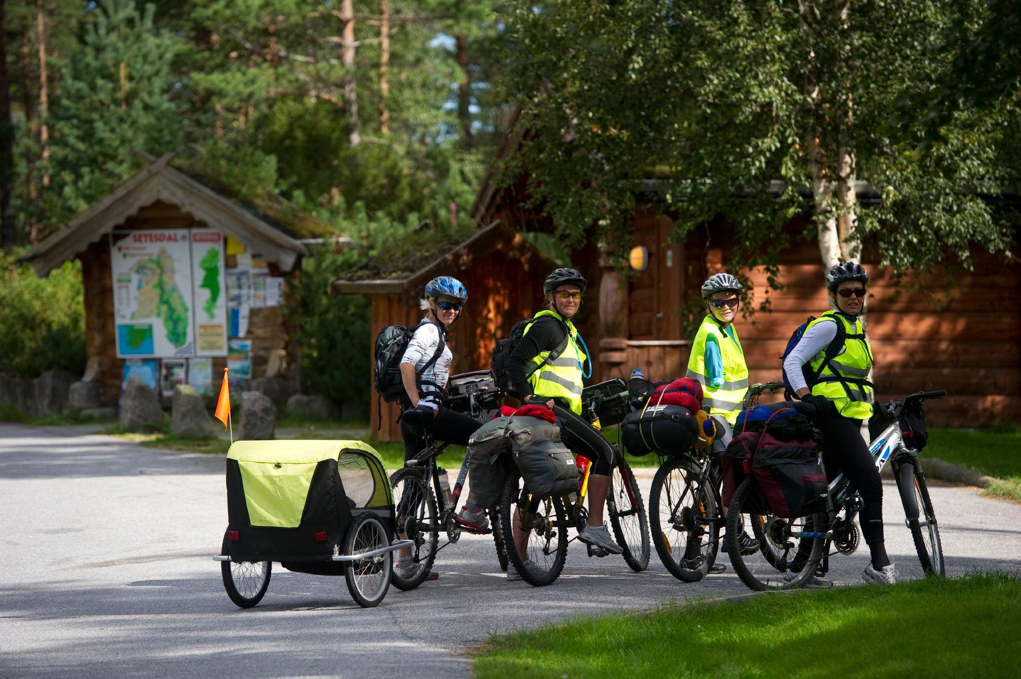
Kristiansand – Setesdal – Hardanger – Kristiansund
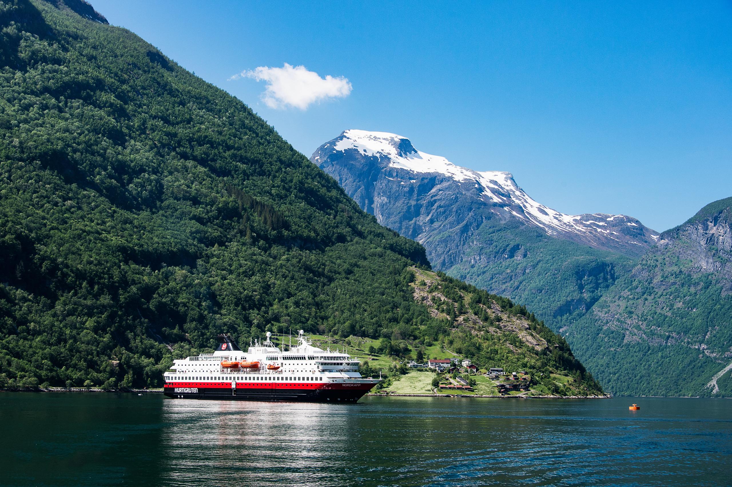
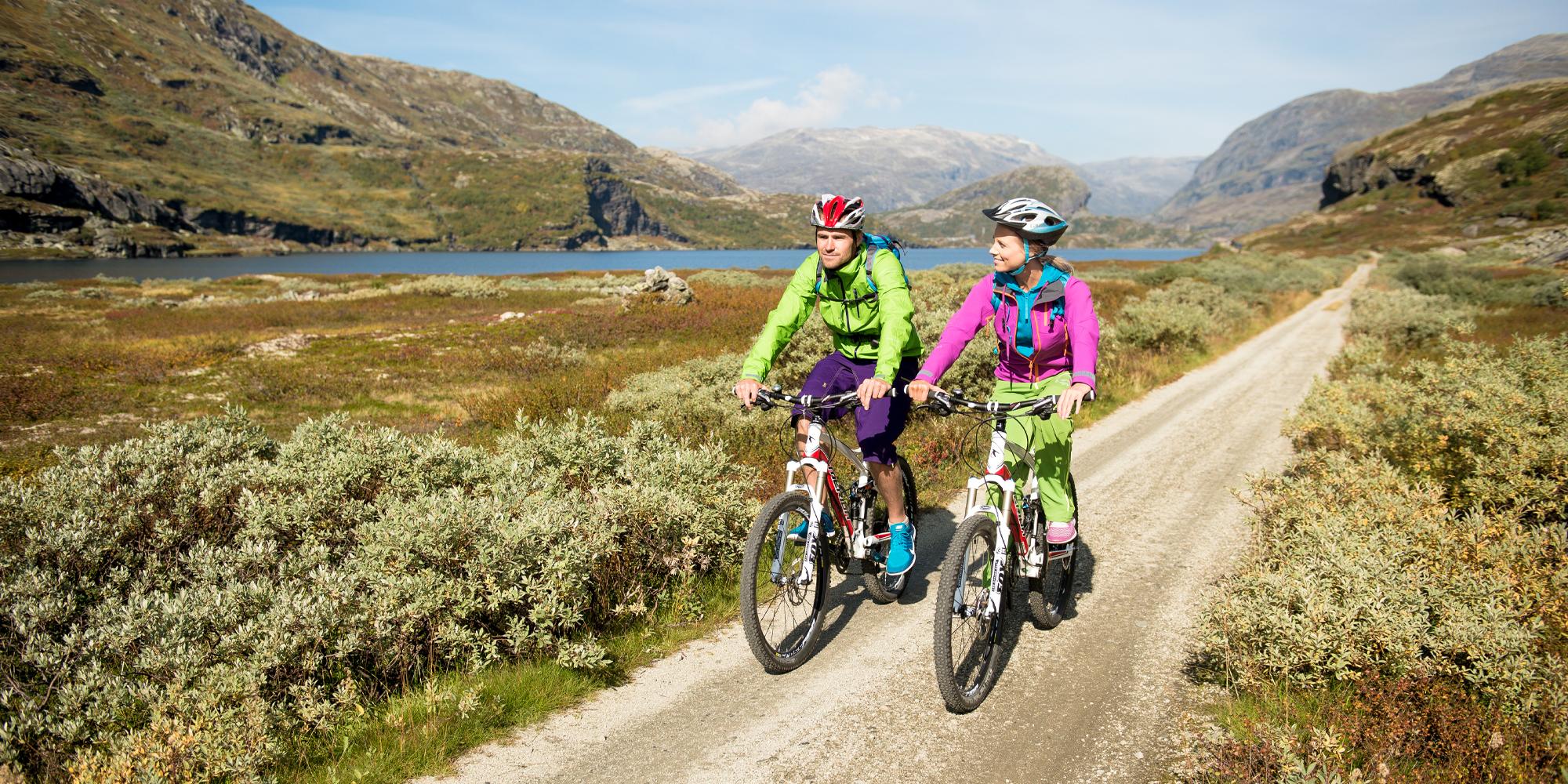
Starting in Kristiansand in Southern Norway, the Fjord and mountain route visits the Hardangerfjord region and crosses the Sognefjord before terminating in Kristiansund in the Northwest. The craggy mountains and deep fjords of Fjord Norway are the focus of this 1,000 kilometres (623 miles) long route, which will take you through some of the most scenic parts of both the south and the west.
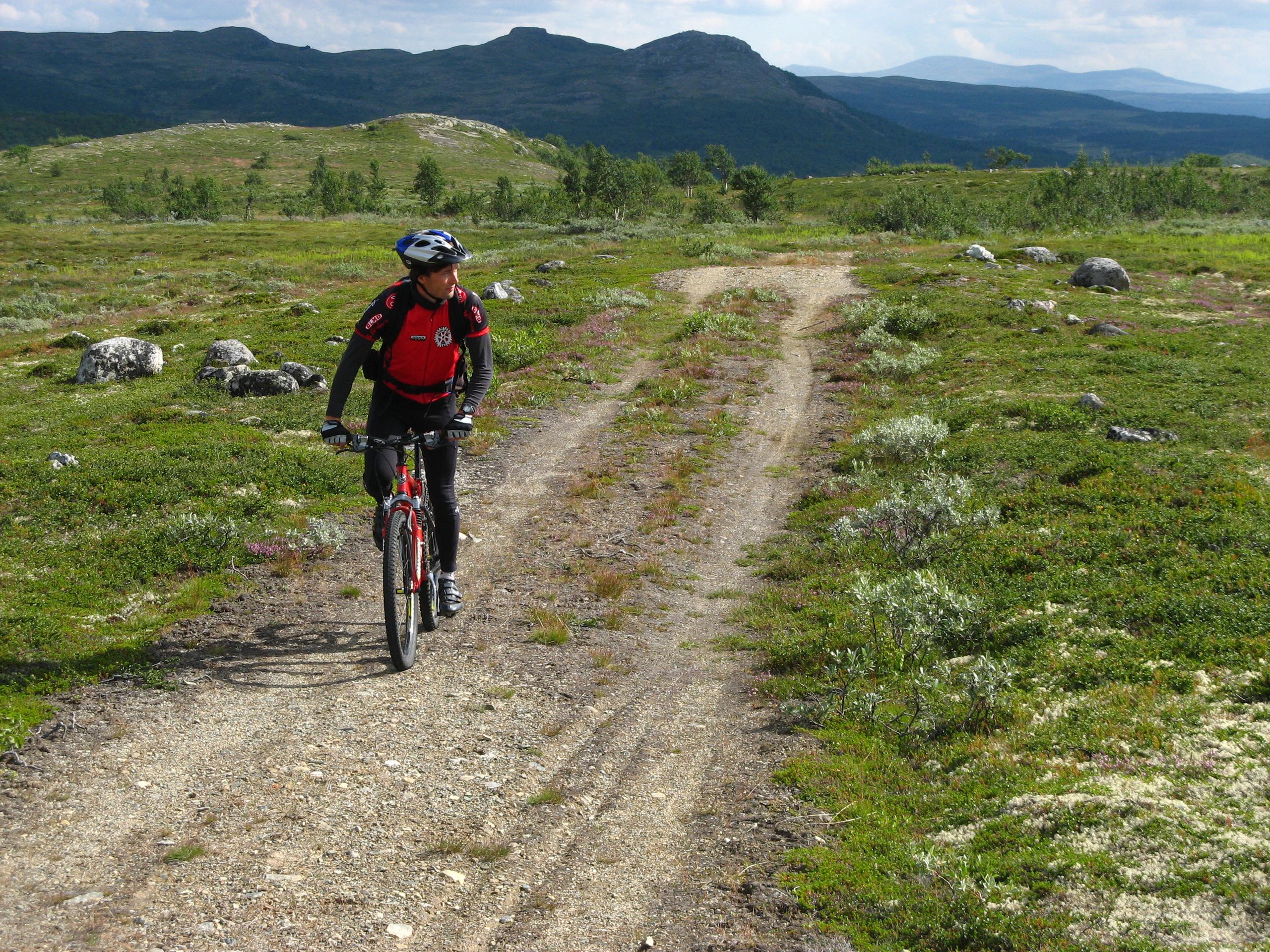
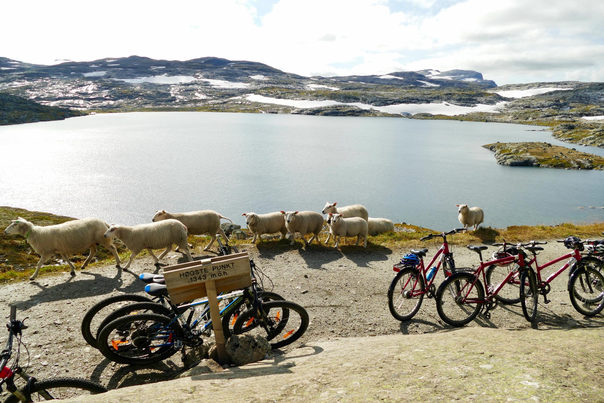
Rallarvegen (The navvies’ road)
Bergen – Finse – Oslo
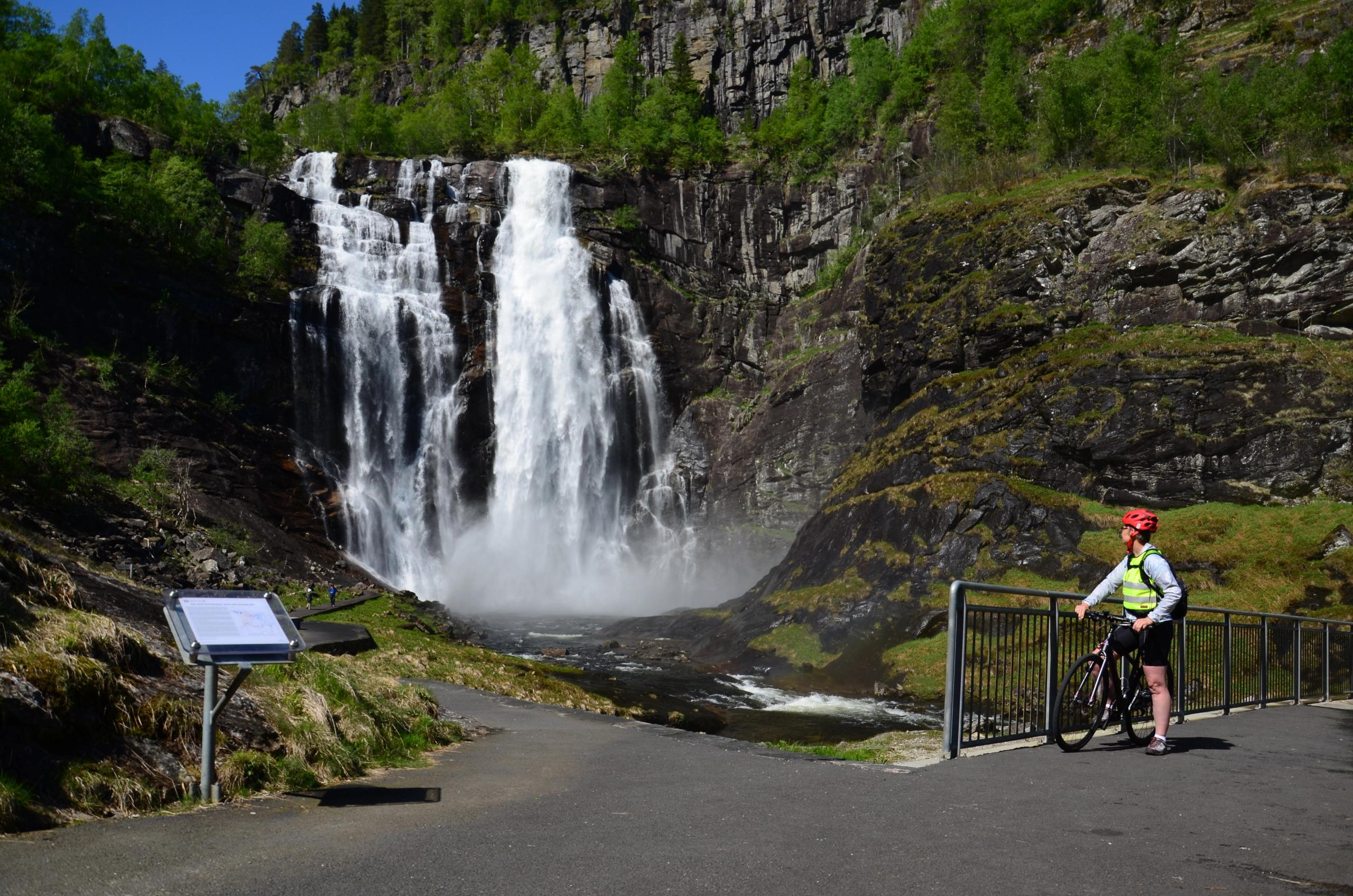
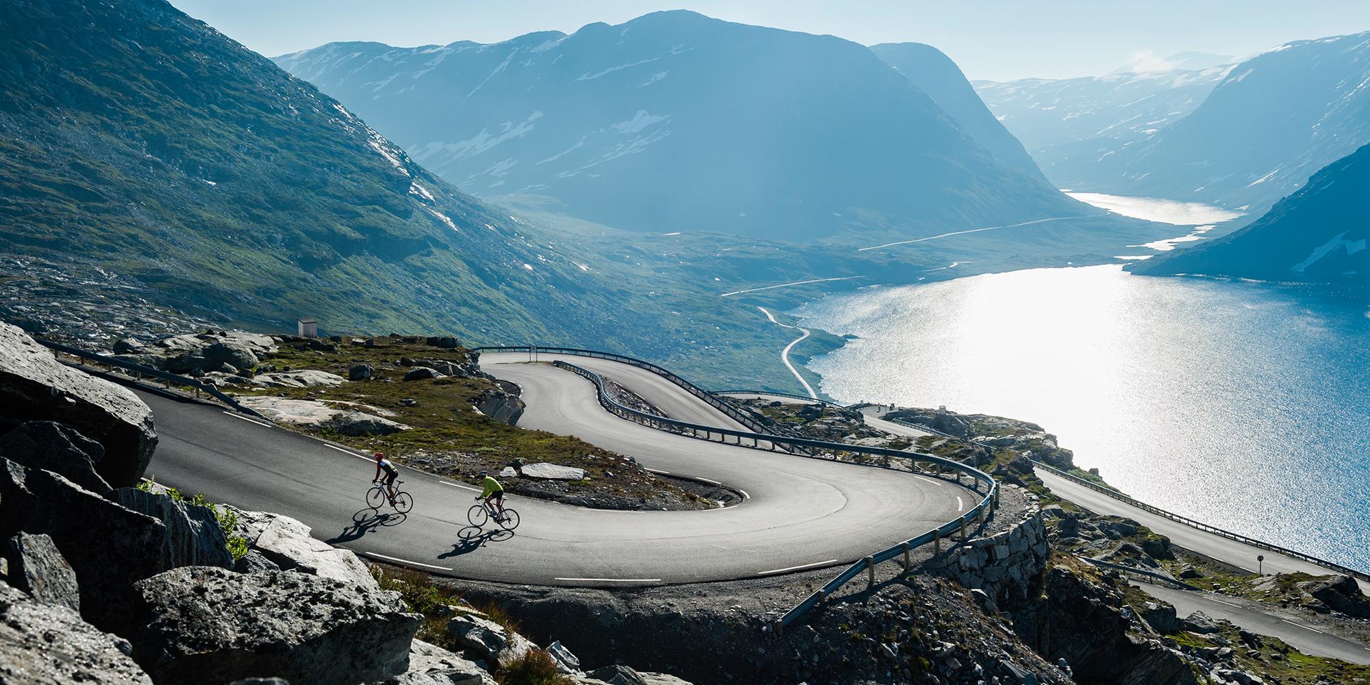
Originally Rallarvegen a transportation road from the construction of the Bergen and Flåm railway lines, part of the national cycle route Rallarvegen offers both a historical and a close-to-nature adventure. But this 614 kilometres (382-mile) long national bicycle route stretches far beyond just Rallarvegen and takes you from Bergen via Voss up to Finse. From Finse, the highest point on the Bergen Line, it’s more or less all easy downhill cycling to Oslo.
Most people choose to go in the other direction, though – the 82-kilometre (51-mile) long route from Haugastøl and down to Flåm by the Aurlandsfjord is the most popular cycling route in Norway.
The Numedal route
Larvik – Kongsberg – Geilo
Starting in the picturesque seaside town of Larvik, the 950-kilometre (590-mile) long Numedal route through Eastern Norway takes you via the old mining town of Kongsberg to the high mountains of Dagalifjellet and Geilo. From Larvik to Dagalifjellet, the highest point of the route, there is a difference in altitude of 1,000 metres (3,280 feet).
Sognefjellsvegen
Røros – Hardanger
Starting in the mining town of Røros, a UNESCO World Heritage Site known for its old wooden buildings and for being one of Norway’s leading regions for locally produced food, the 294-kilometre (183-mile) long Sognefjellsvegen takes you through the mountains of Trøndelag and continues across the country to the famous fjords of Fjord Norway, before it ends in Hardanger.
The pilgrims’ route
Halden – Oslo – Nidaros (Trondheim)
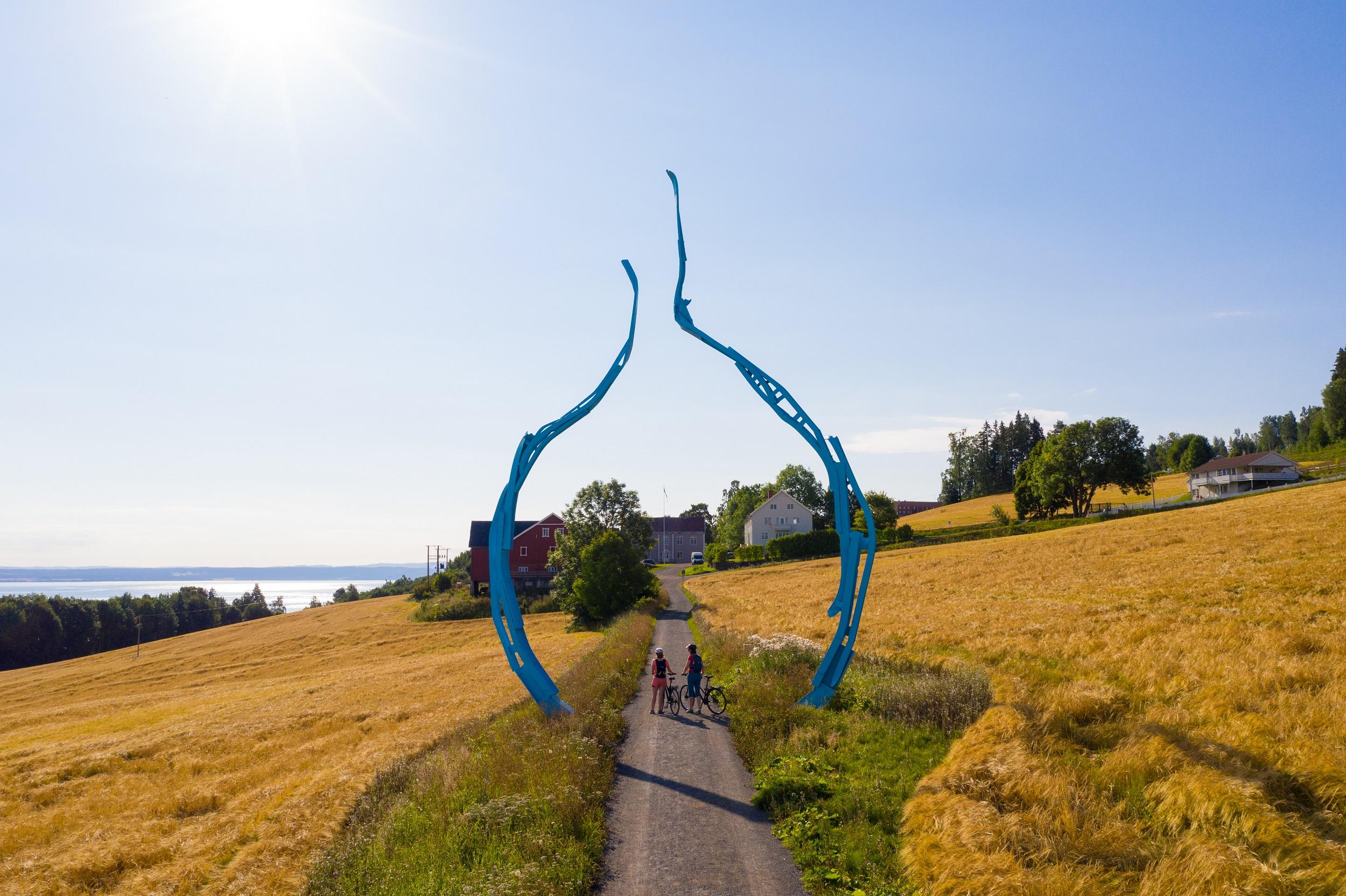
The city of Halden near the Swedish border in Eastern Norway is the starting point of the 600-kilometre (373-mile) long Pilgrims’ route. Travel through Norway’s capital Oslo and along the old pilgrim route past the lake Mjøsa, visit the ruins of the old cathedral in Hamar, and continue northwards all the way to Trondheim. Here, you will find Norway’s national sanctuary the Nidaros Cathedral.
The pilgrimage route is also the last of the three EuroVelo routes that run through Norway. If you are going to follow this whole route from the start, you should be well trained, as the route originally starts in the Spanish pilgrimage city of Santiago de Compostela.
The wilderness route
Halden – Trondheim
While the beginning of the Wilderness route is quite similar to the pilgrim route, it takes a more inland direction through the wild forest of Eastern Norway via the towns of Elverum and Trysil in Hedmark, and through Røros and Selbu before arriving in Trondheim. The total length is about 825 kilometers (513 miles).
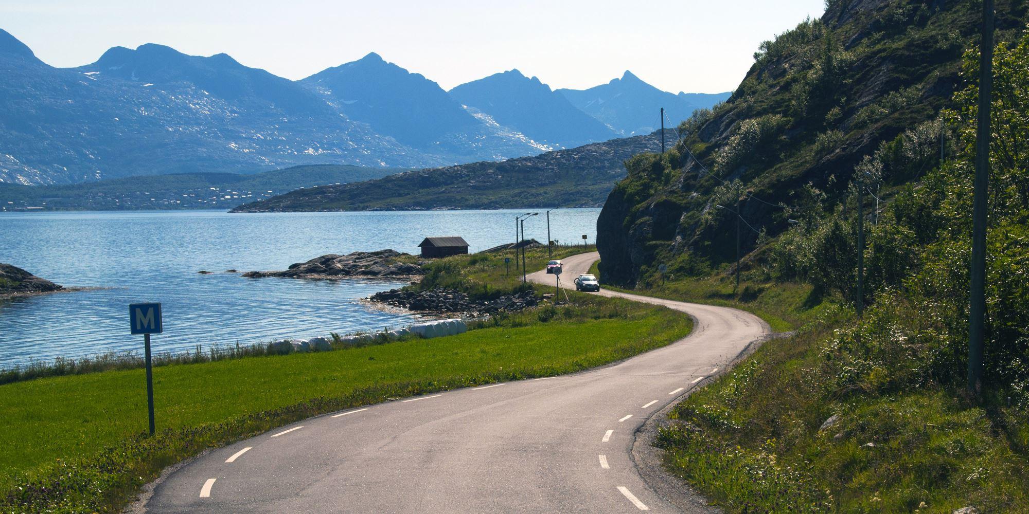
Nordkapp to Lindesnes – Norway from north to south
The North Cape – Lindesnes
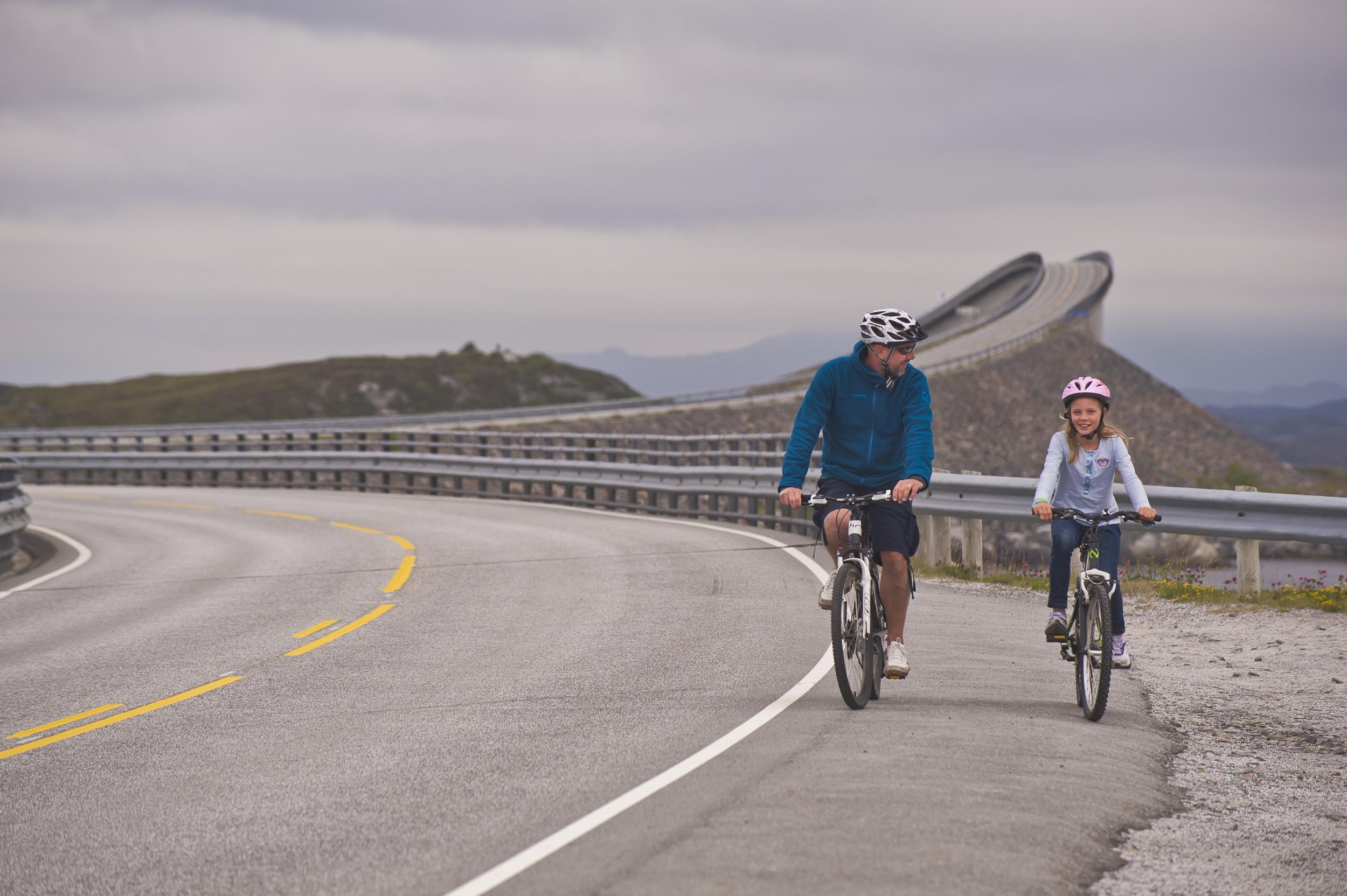
The Nordkapp to Lindesnes route is one of the longest of the nine national cycle routes and will take you from the northernmost point of mainland Norway – The North Cape – to the southernmost point at Lindesnes. Note that you’ll have to find alternative transport like train or local buses at some places because of tunnels that aren’t open for cyclists.
Get inspired
See the sights
Don’t miss the hot spots on your trip through Norway.
Book a biking holiday
Get the best deals on active holidays from our partners.
 6 Days ・ May - AugustBook now
Bike the Hardanger fjord route
Experience Norway’s best scenerySelf-guided bicycle tour in an exciting landscape of fjords, mountains, waterfalls, and even a glacier. The tour starts and ends in Bergen, a UNESCO World Heritage city and the Gateway to the Fjords of Norway. / Discover NorwayPrice From 16 950 NOK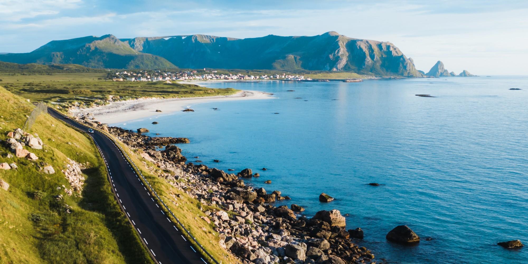 8 Days ・ June - AugustBook now
Arctic coast cycling
Bicycle tour in the Land of the Midnight SunDiscover the dramatic Arctic coast, sandy beaches, and traditional fishing villages. A self-guided bicycle tour from Tromsø to Svolvær in Northern Norway - a paradise for those who want a real bicycle adventure. / Discover NorwayPrice From 17 000 NOK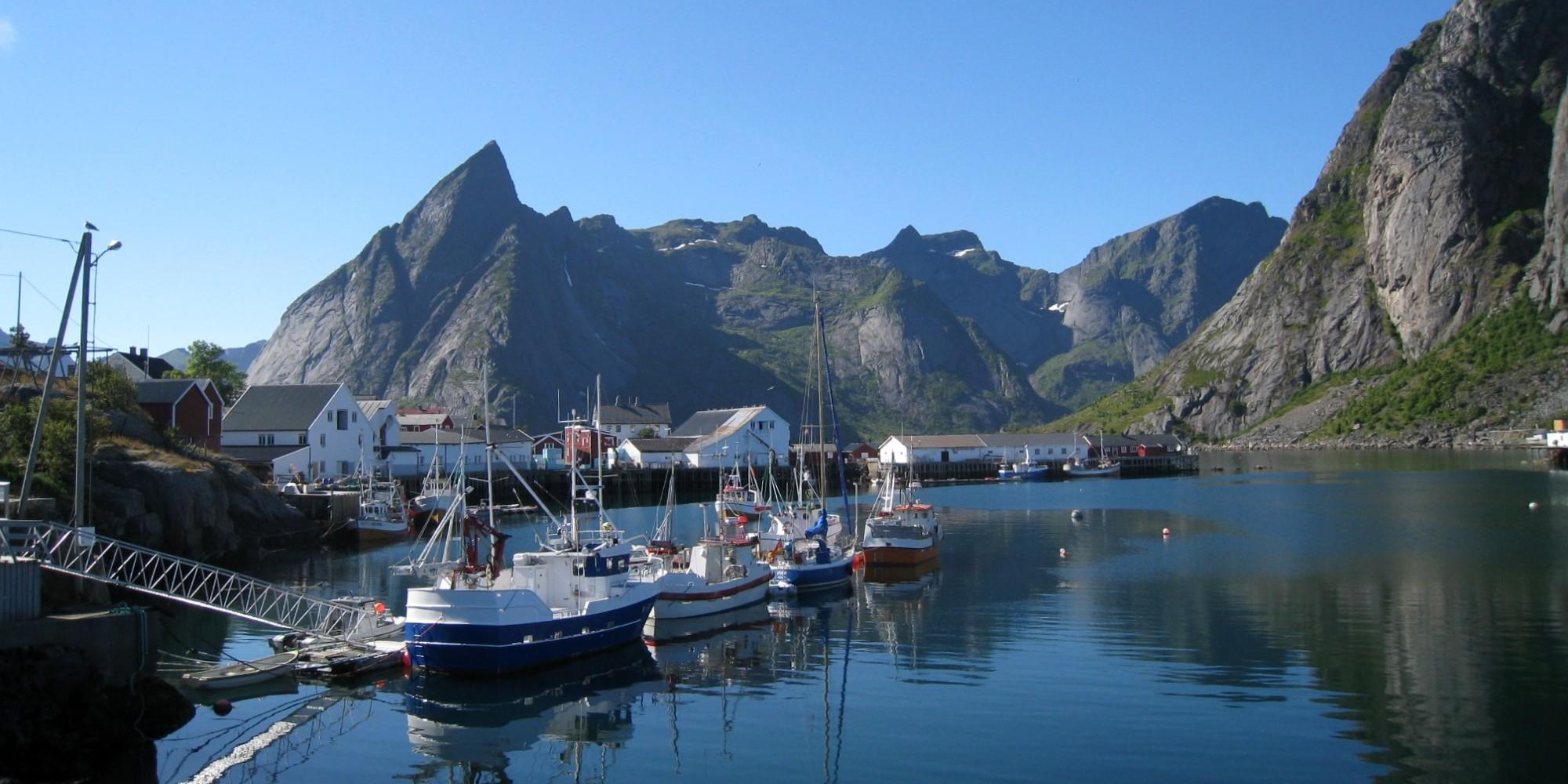 8 Days ・ June - SeptemberBook now
Bike the Lofoten Islands
Stunning nature and picturesque villagesSelf-guided tour from Svolvær to Reine. Includes accommodation, meals, luggage transfer, a boat transfer, and more. A cycling vacation in Lofoten is a once-in-a-lifetime experience! / Discover NorwayPrice From 19 550 NOK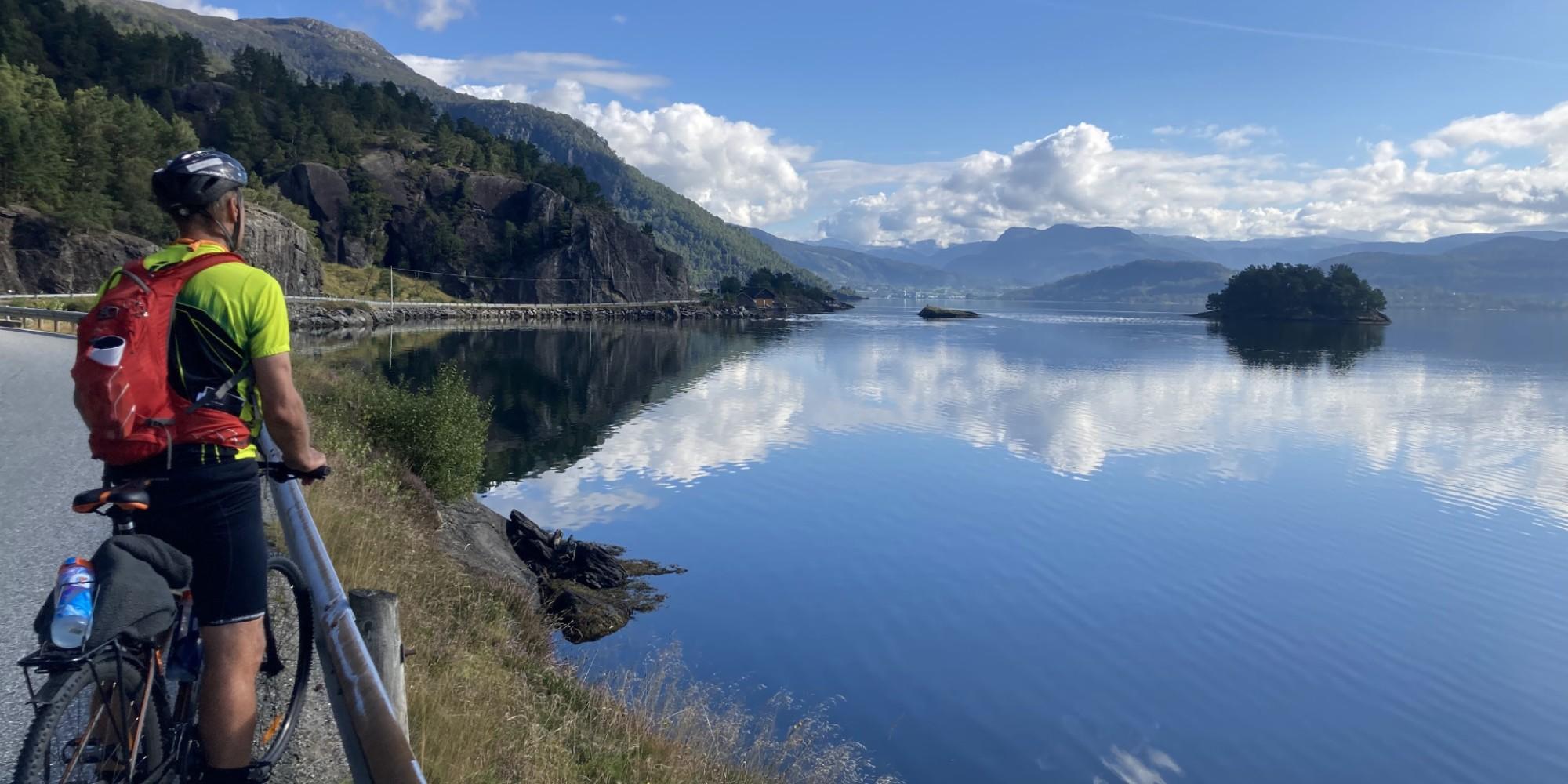 6 Days ・ June - SeptemberBook now
Bike tour south of Bergen
Fjords and coastal landscapesSelf-guided roundtrip from Bergen. Beautiful surroundings and delicious culinary experiences. Includes express boat, accommodation, meals, luggage transfer and more. / Discover NorwayPrice From 15 750 NOK 8 Days ・ June - AugustBook now
Vesterålen – a hidden gem
Bicycle tour of the archipelago north of LofotenRelax and enjoy quiet nature as you bike through varied, beautiful and exciting landscapes. A self-guided tour along stunning fjords and sea, impressive mountain peaks, colourful wetland, and lush cultural landscapes. / Discover NorwayPrice From 17 350 NOK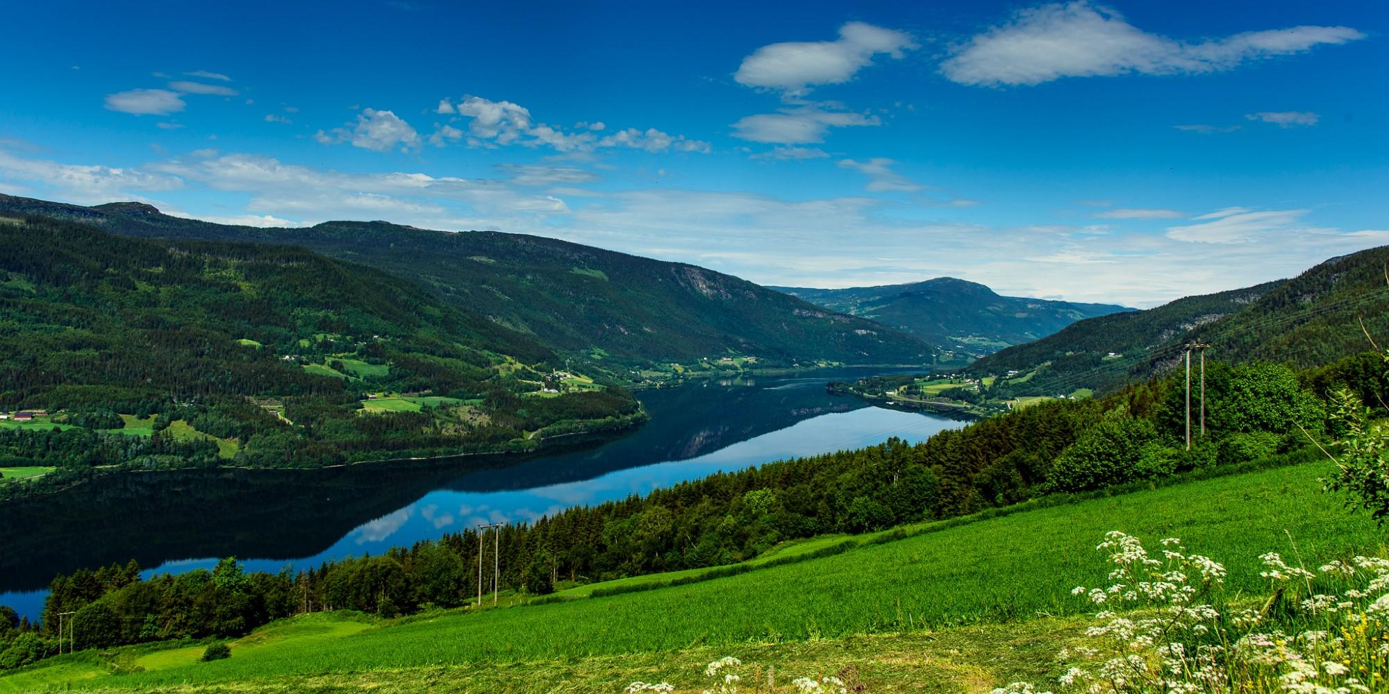 7 Days ・ June - AugustBook now
Mountains and valleys in Gudbrandsdalen
Discover the Gudbrandsdalen valleySelf-guided bicycle tour in the mountains north of Lillehammer. Ride through ancient cultural landscapes in the kingdom of Peer Gynt, with incredible views of some of the tallest mountains in Norway. / Discover NorwayPrice From 13 850 NOK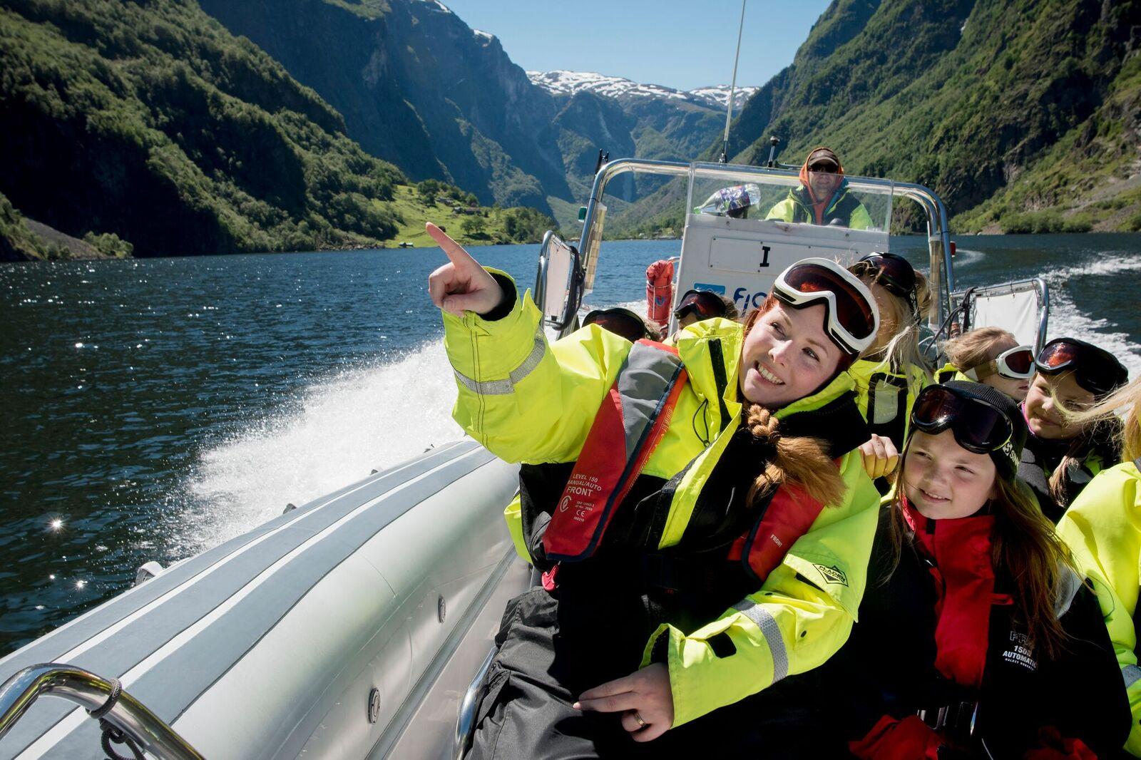 6+ Days ・ June - SeptemberBook now
Oslo & fjord adventure
Oslo, Bergen, downhill biking & fjord safari.Norway activity tour including Oslo, the Norwegian fjord region, Voss, and Bergen. Experience activities like cycling, fjord safaris by RIB boat, and spectacular train journeys. / Authentic ScandinaviaPrice From 12 510 NOK