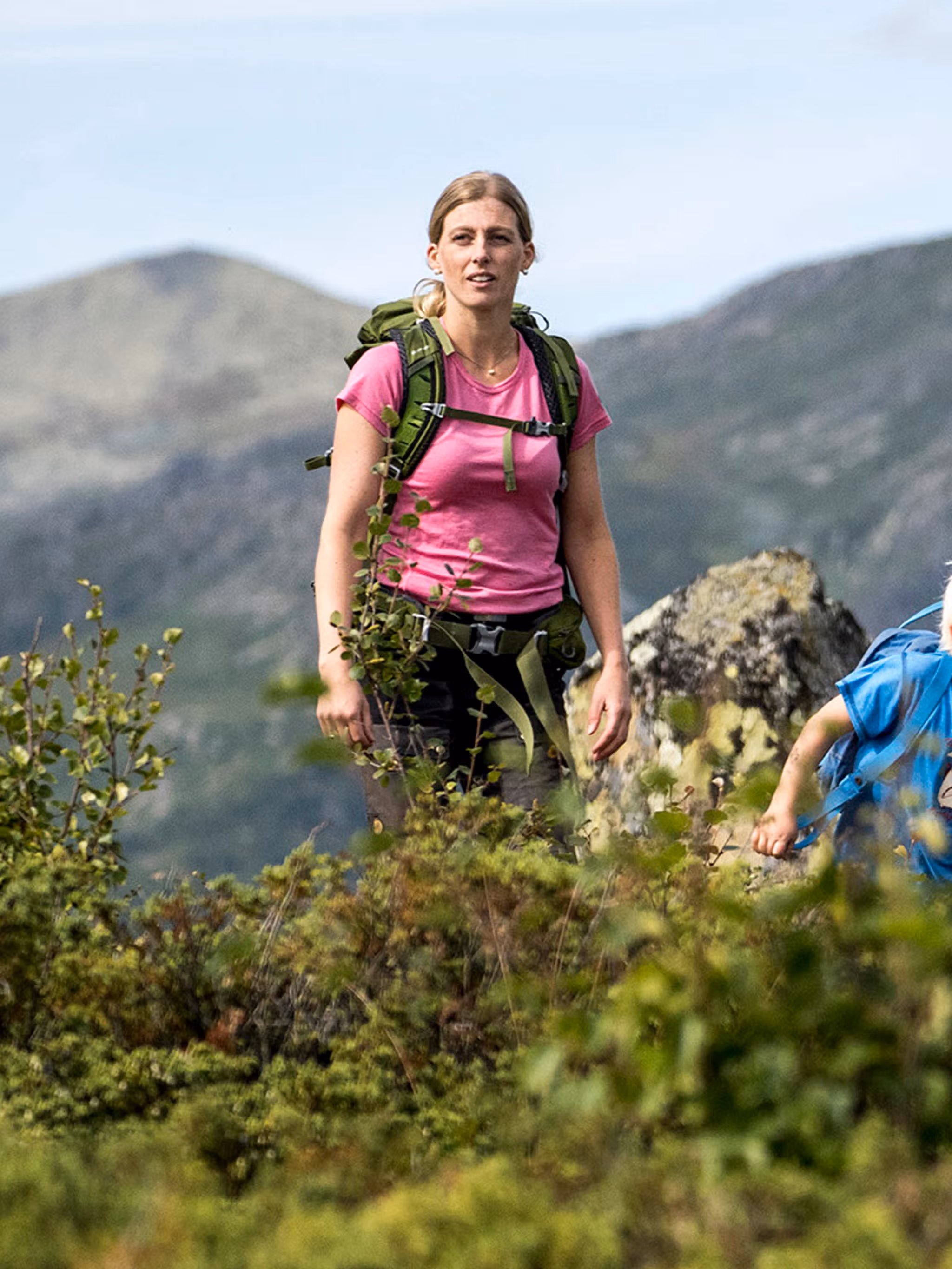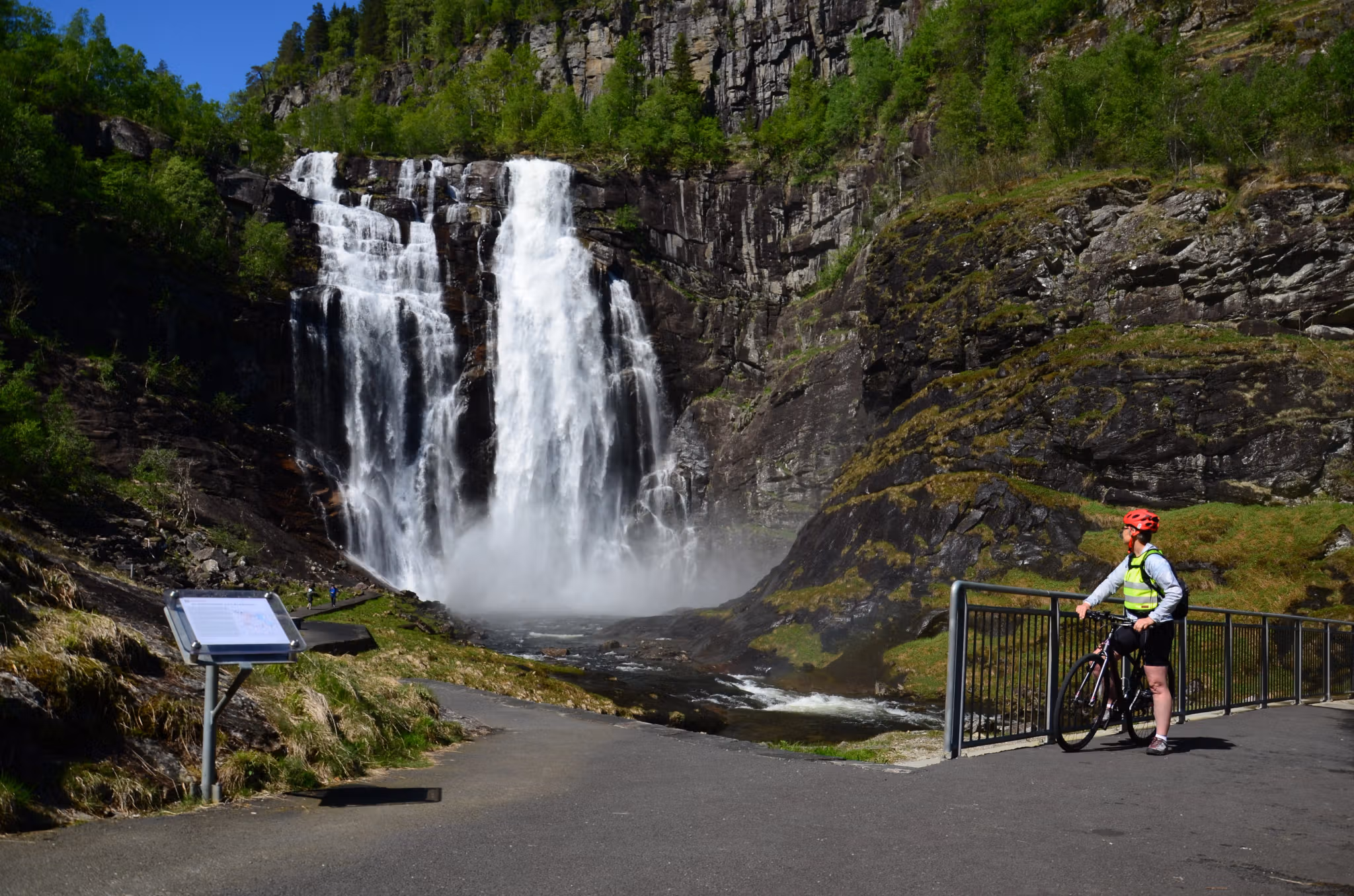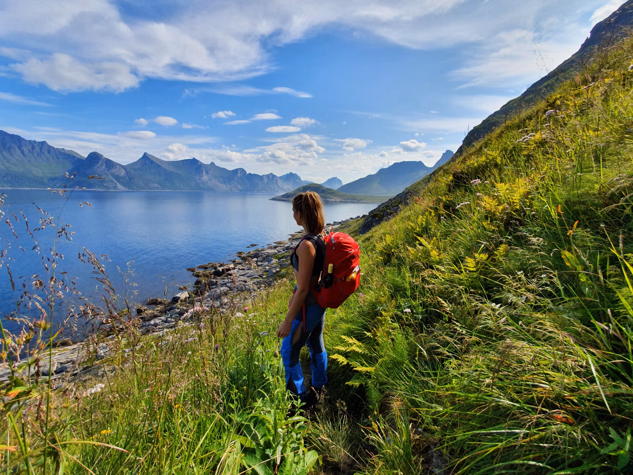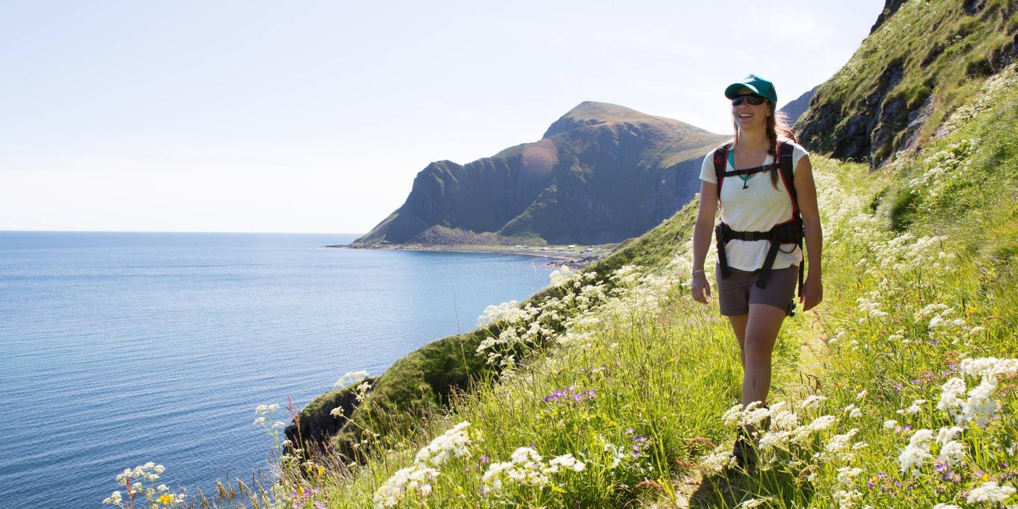
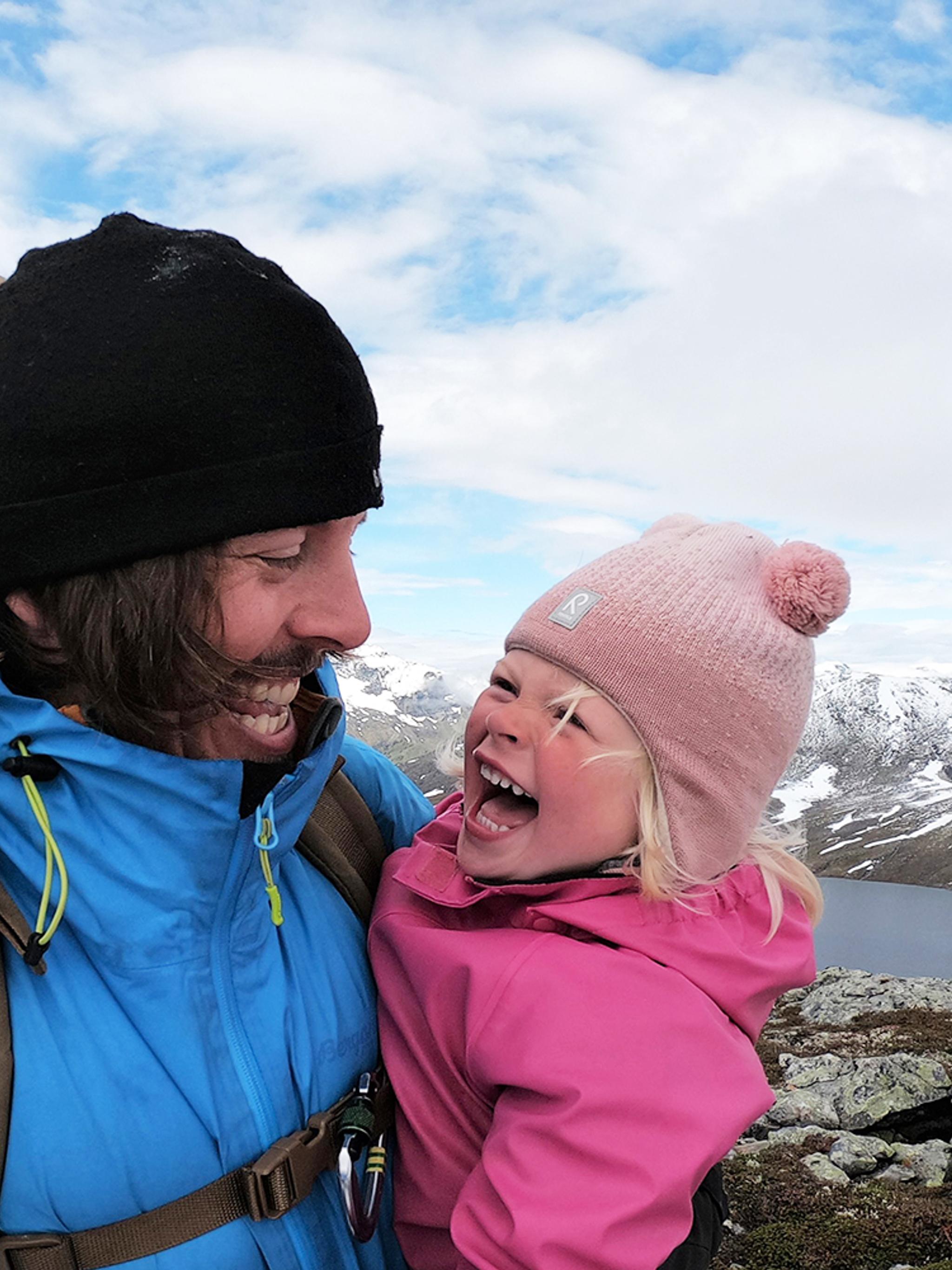
Would you like to hike across a whole country? Hike Norway from south to north, or from east to west! There are many routes to choose from, and you can even complete the shortest hikes in just a few hours!
In recent years, hiking long distances has become very popular, including hiking the length of Norway, from Lindesnes in the South to the North Cape in the North (or vice versa). Despite its extreme distance of over 3,000 km, more than 465 persons have walked the route since 1951. Have you ever heard of Oda, who hiked the length of Norway in 162 days when she was 26?
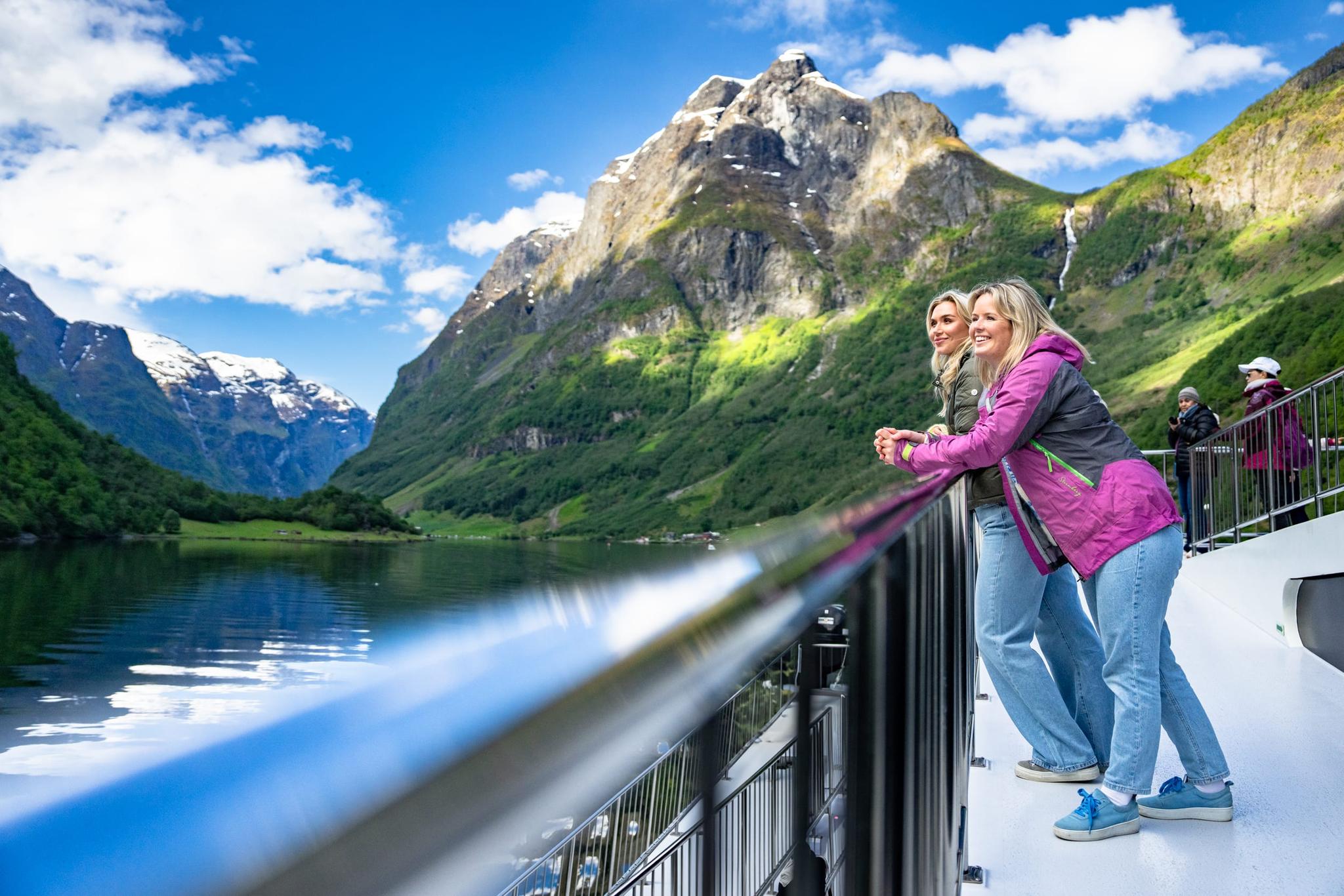
There are lots of other options if you don't feel like spending a half year on a trip, but still want to brag a little. What about crossing Norway from the east to the west instead? This gives you many more routes and, not least, distances, from which to choose. The shortest walks can be completed in a single day!
Below, you will find several suggested routes for crossing Norway, both lengthwise and across.
Be aware that some routes are not marked. If you want an overview of marked regional trails and maps, check out the DNT website (The Norwegian Trekking Association) or UT.no (in Norwegian only, but great with maps!).
There are no official trails for hiking Norway lengthwise, so you need to plan and choose your own route.
Scroll below for more inspiration...
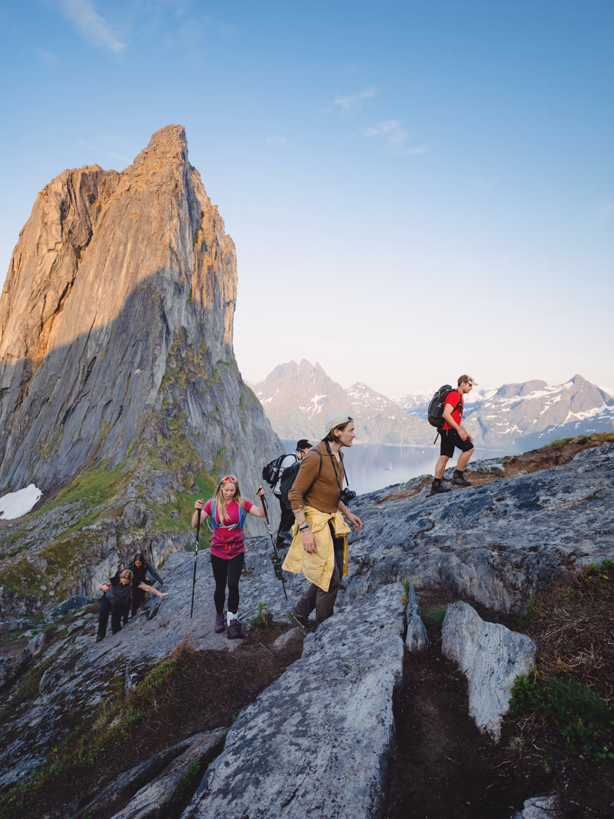
Hiking across Norway
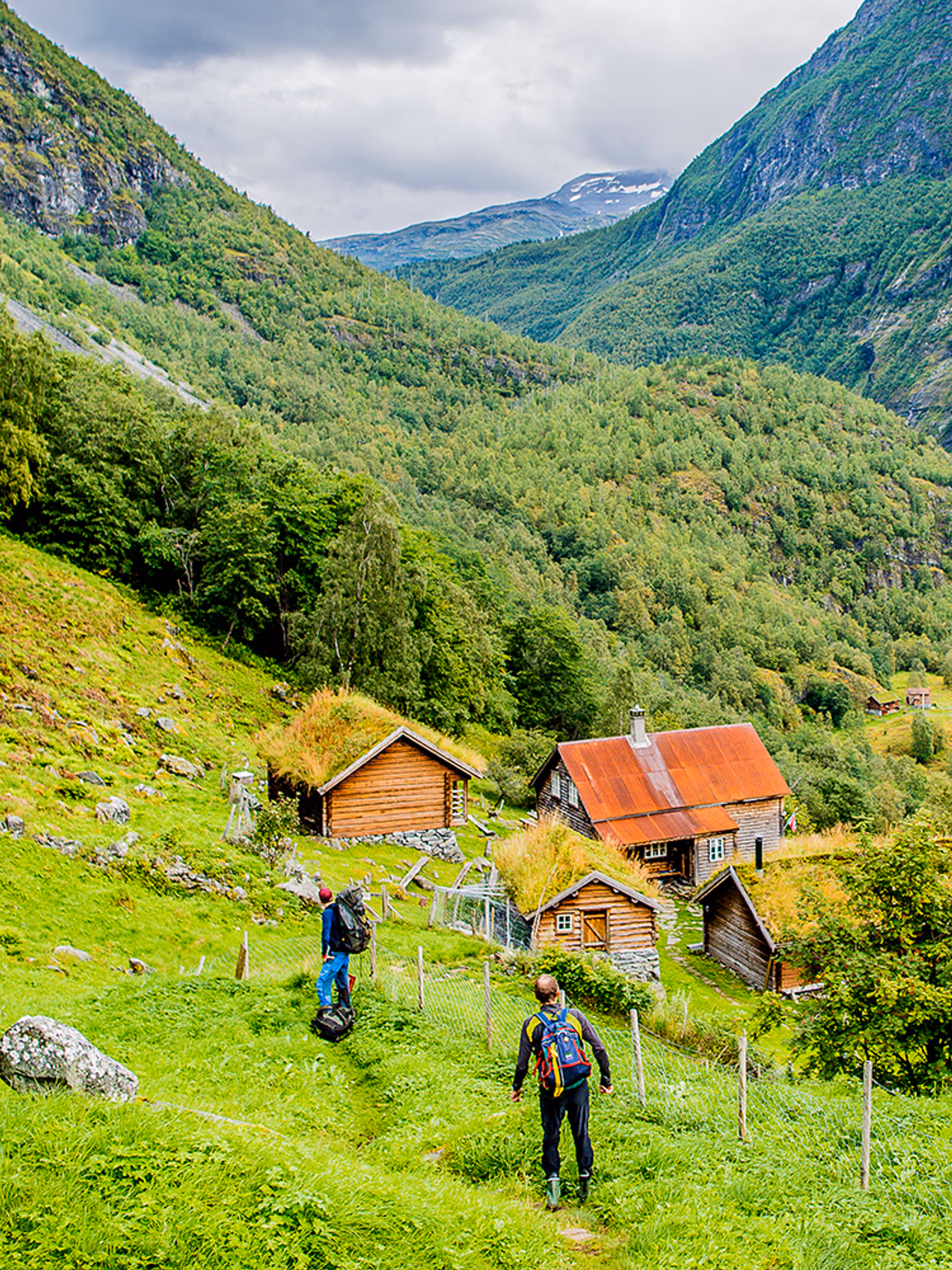
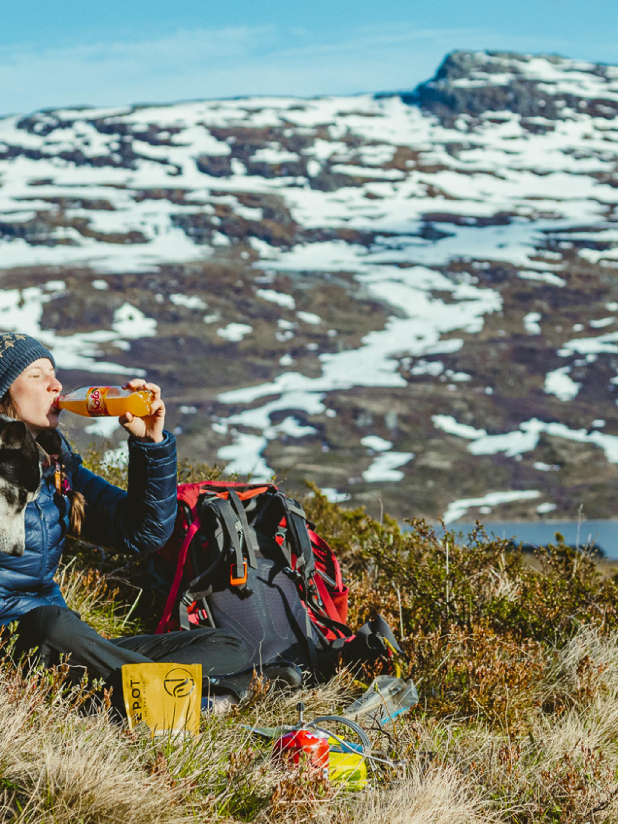
If you don't feel like spendings months walking from south to north, you can still say you have crossed Norway by foot – across the country. If you go for this direction, you can spend as little as 30 minutes or 3 hours at the narrowest points to as much as 30 days, depending on the route.
Of course, you can choose your own route and walk exactly where you wish.
The shortest route is actually only 1,580 meters long – in other words, just a 35-minute walk! This route is located in Finnmark, between Bøkfjorden at the mouth of the Pasvikelva river and the border towards Russia. However, due to the current political situation, this route is not recommended, and it does not have a clearly marked trail.
Try one of these popular routes instead:
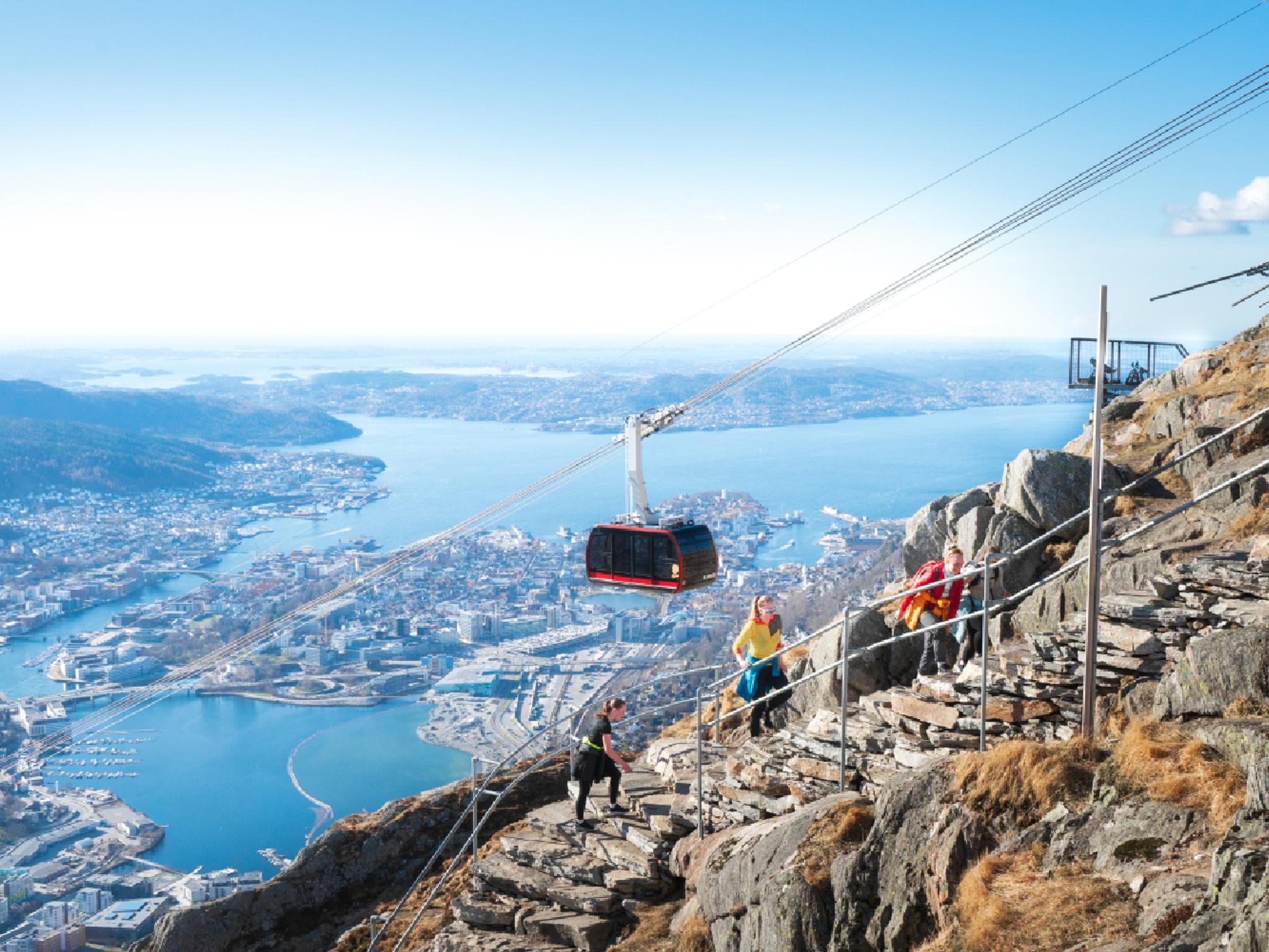
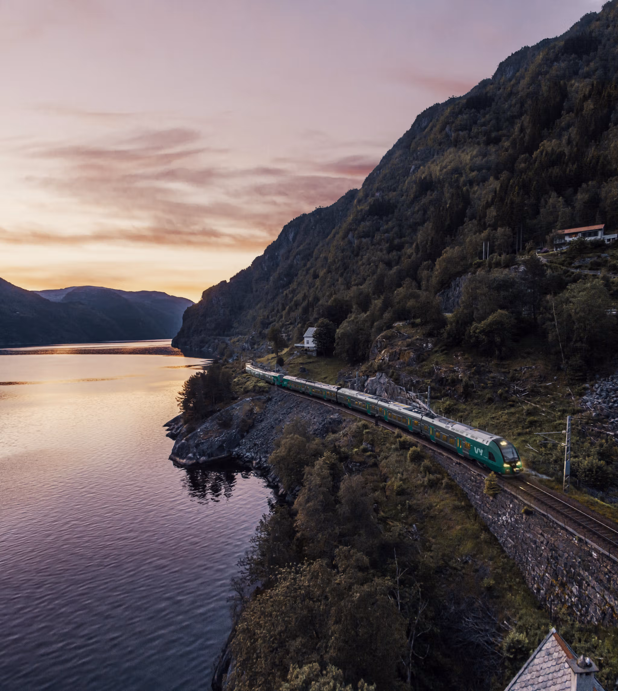
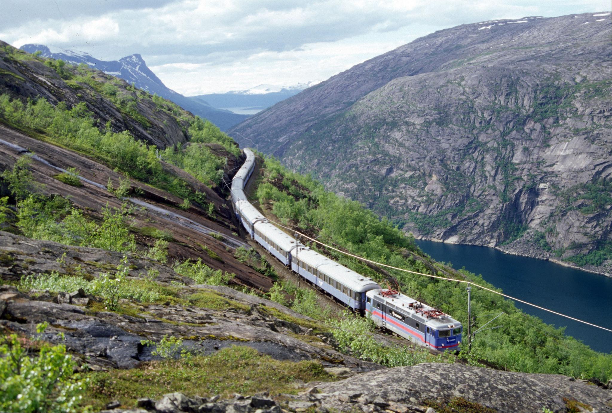
1. The Navvies' route in Narvik
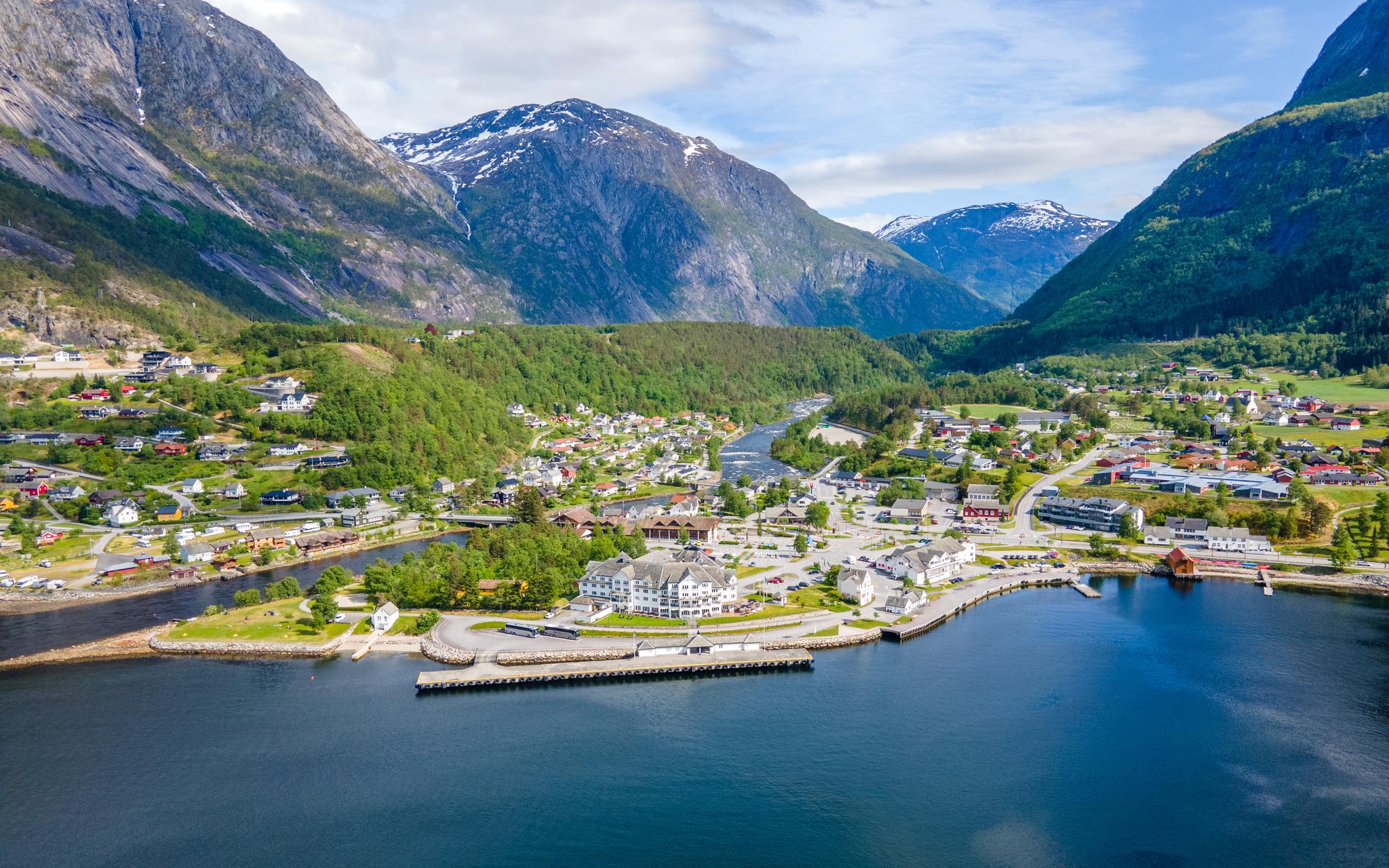
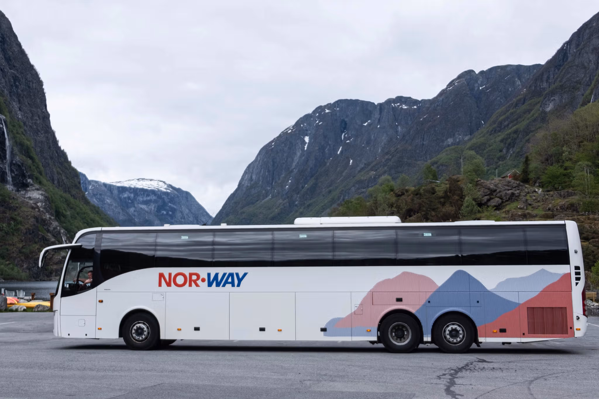
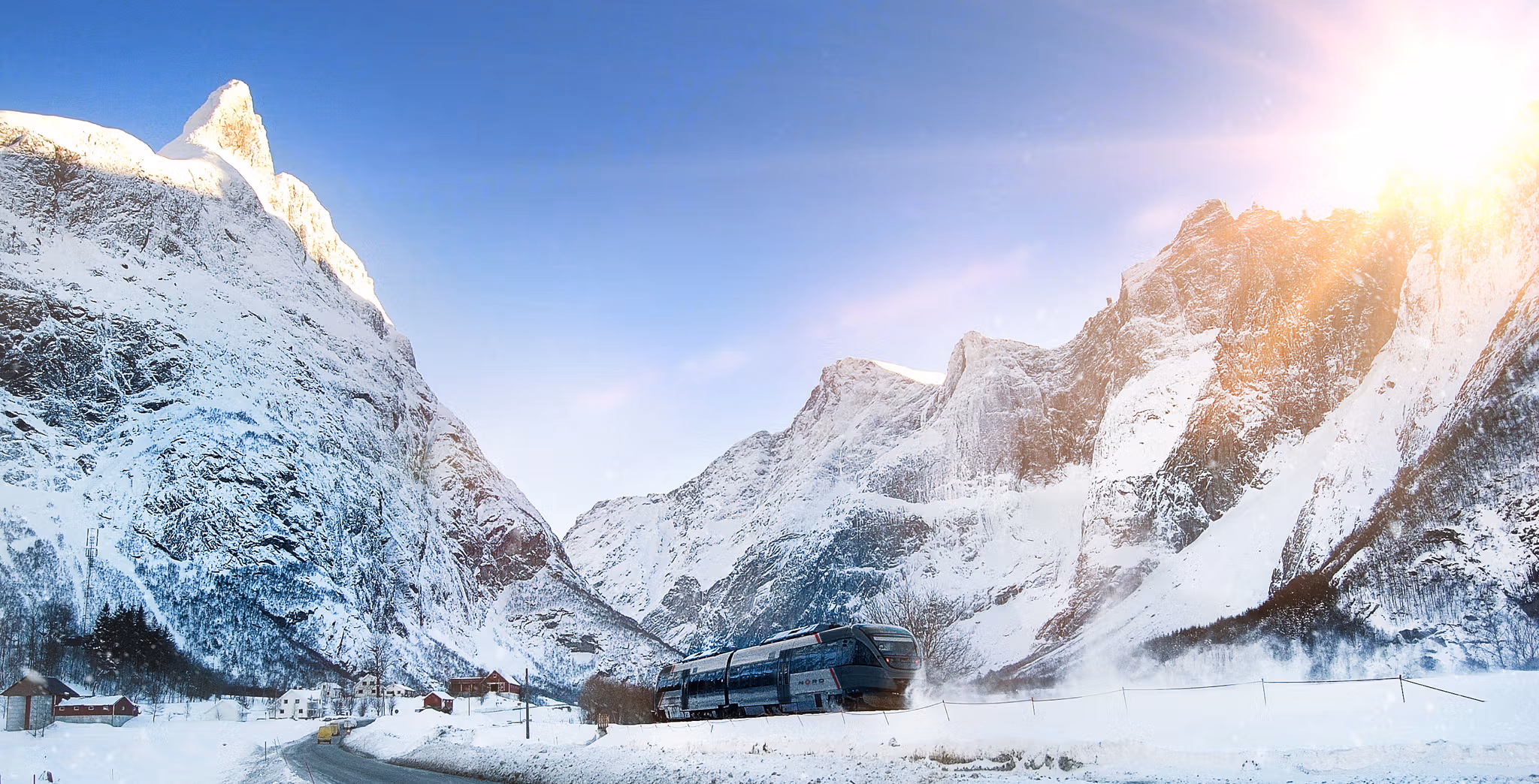
This is the most accessible and fun way to cross Norway. Start off with a scenic train journey on the Ofotbanen Railway or a bus ride from the Arctic city of Narvik to the Swedish border, where you disembark at Bjørnfjell station.
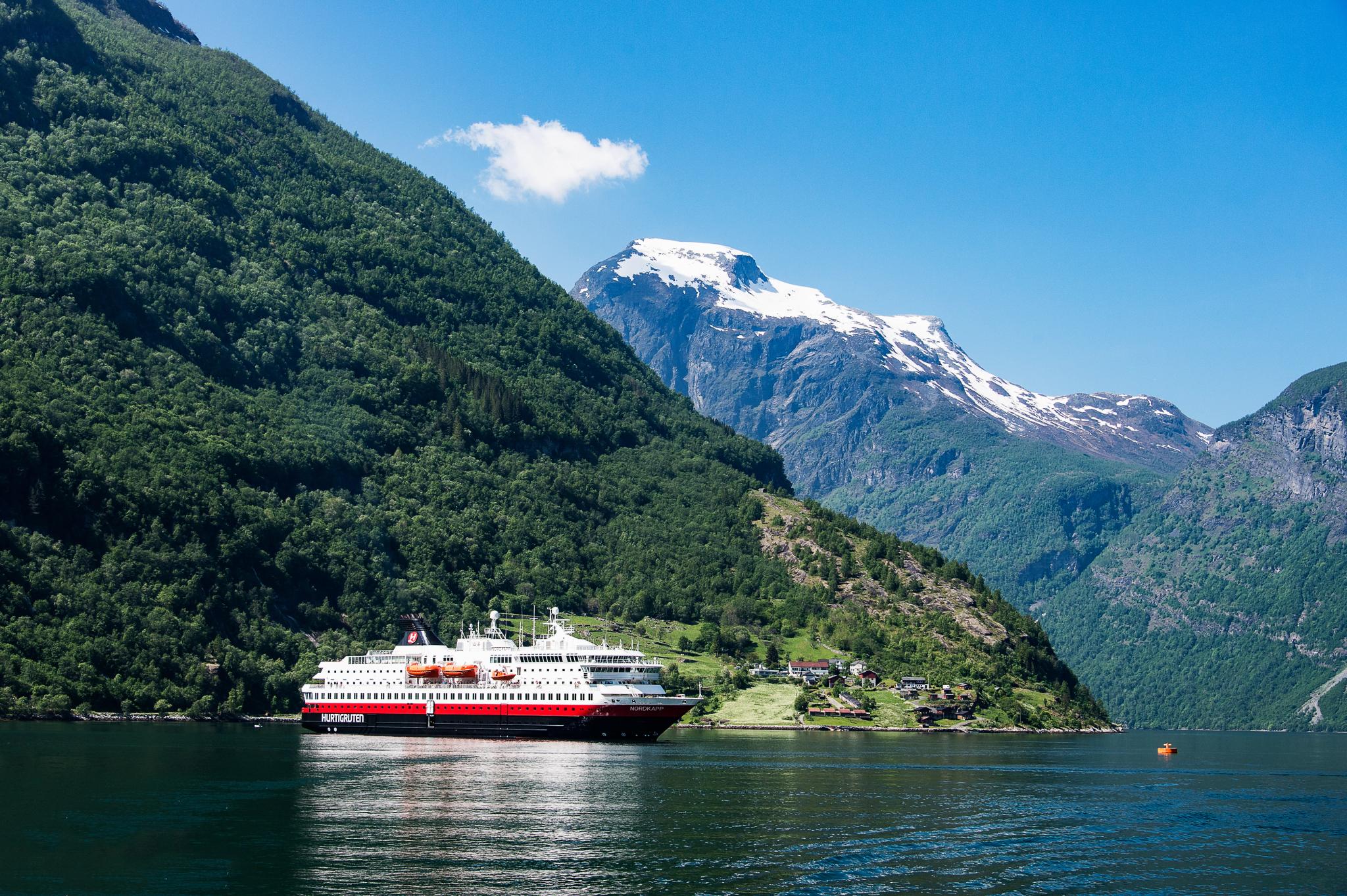
From there, follow the old Navvies' Road, Rallarvegen, alone or with a local guide. The 15 km long trip goes through wild, dramatic and remote landscapes, all the way down to Rombaksbotn by the Ofotfjord, where you can catch a RIB boat ride to Narvik (in summer). The RIB usually passes by a Second World War shipwreck — a great photo opportunity!
2. The Tysfjord route
In Tysfjord, located between Bodø and Narvik in Northern Norway, you can walk the 12-km-long route from Hellmobotn to the Swedish border. This is the second-shortest route across Norway.
You first need to get to a small community called Drag, from which a boat takes you to Hellmobotn (only in summer), where the hike begins. Note that the boat only sails a few times a week, so check the timetable for the 18-585 Tysfjord boat route on the Reis Nordland travel planner carefully or contact the local tourist office in Narvik for assistance. The hike to the border and back takes approximately five hours. The area around Hellmobotn is a nice place in which to camp with a tent.
3. The official route – along latitude 63°
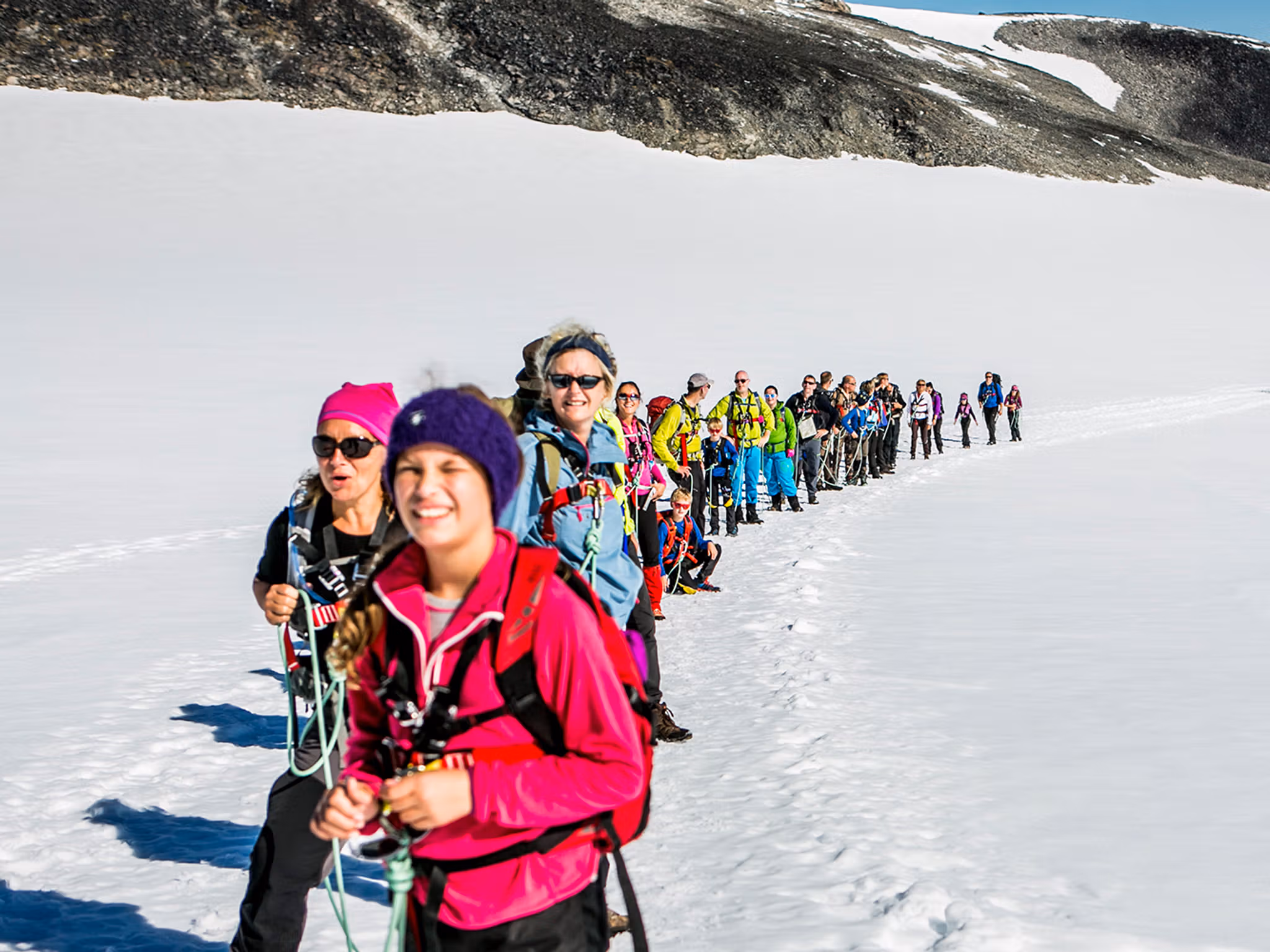
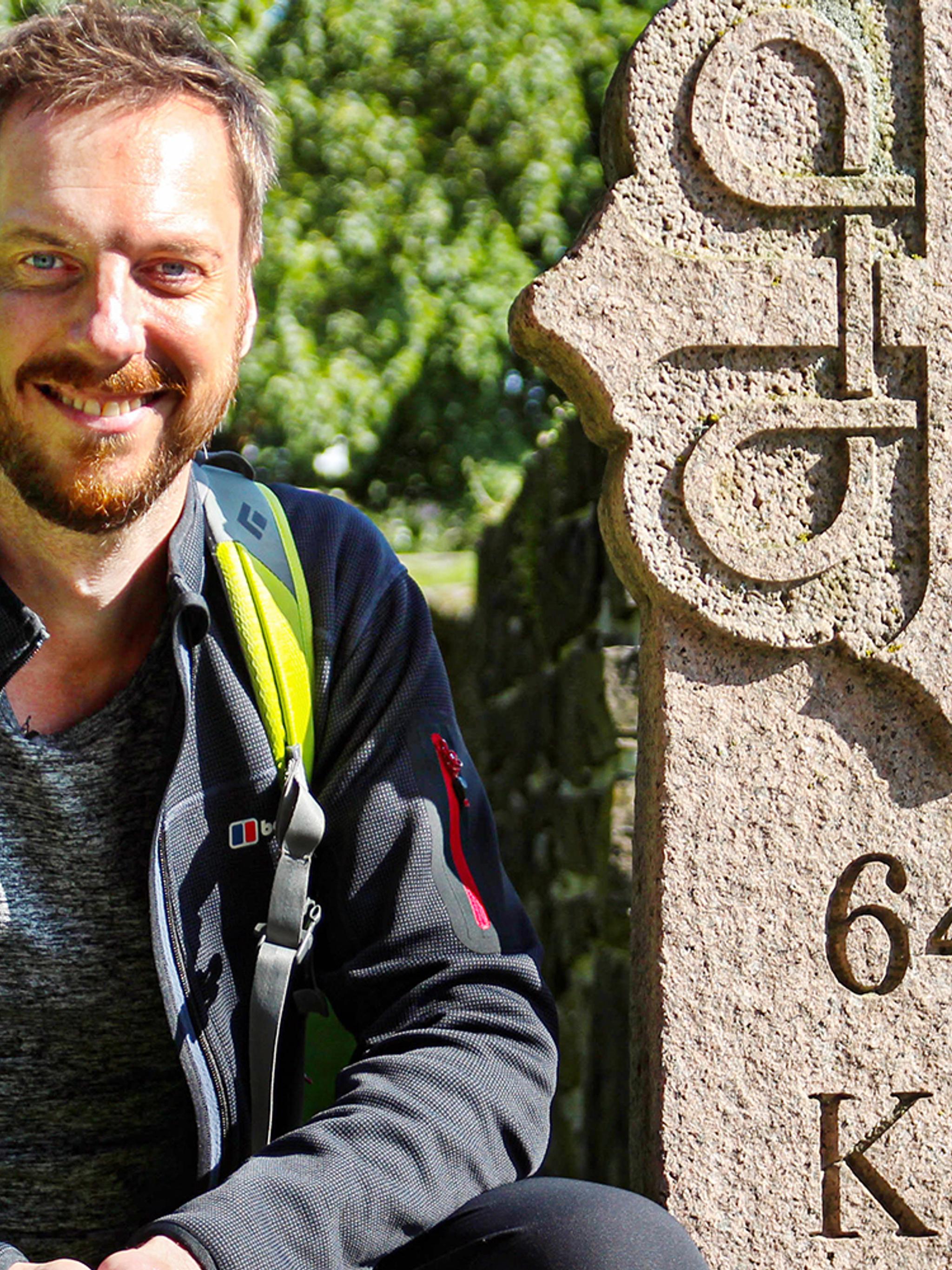
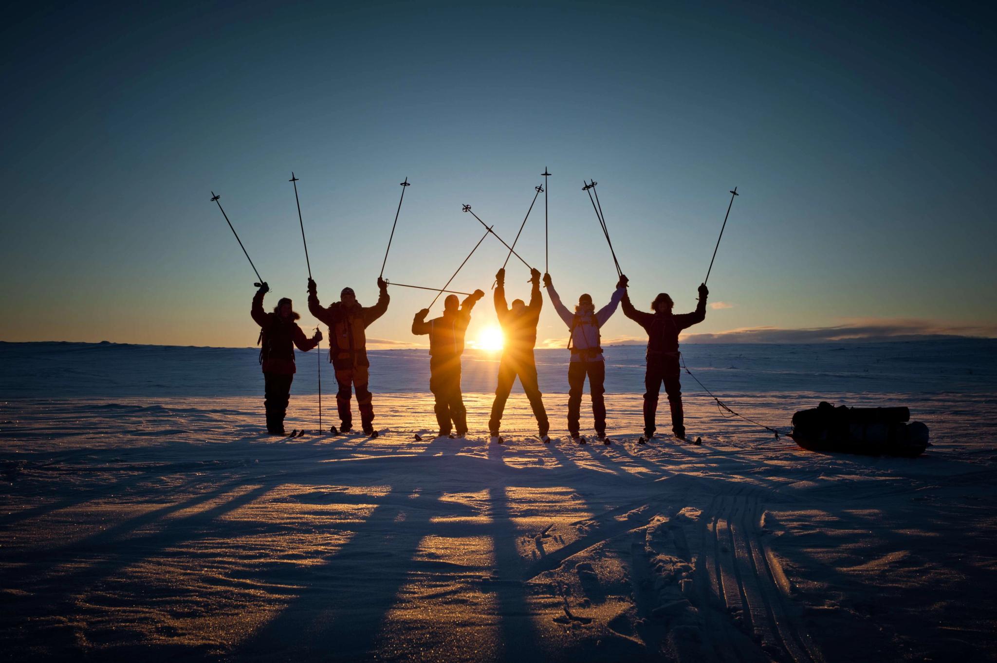
A week long mini-expedition! Located in Trøndelag, this is one of the most popular, though quite demanding, routes from east to the west, and is widely recognised as the "official" route for crossing Norway. The route goes across the Sylan mountain massif (and is often called the Sylan expedition route) and follows latitude 63°.
If you start from Stjørdal, this well-marked route is 120 km long and takes approximately seven to eight days to complete. It's also possible to go from Trondheim Airport Værnes, which takes about the same time. You can stay in small cabins run by the Norwegian Trekking Association along the way. The trek ends by Nesjøen lake on the Swedish border, where you can hike (an additional 18 km) or organise your own transport to Stugudalen, which has bus connections back to Trondheim and Værnes.
PS: Although the terrain is beautiful, some parts are very boggy, so make sure to bring waterproof boots!
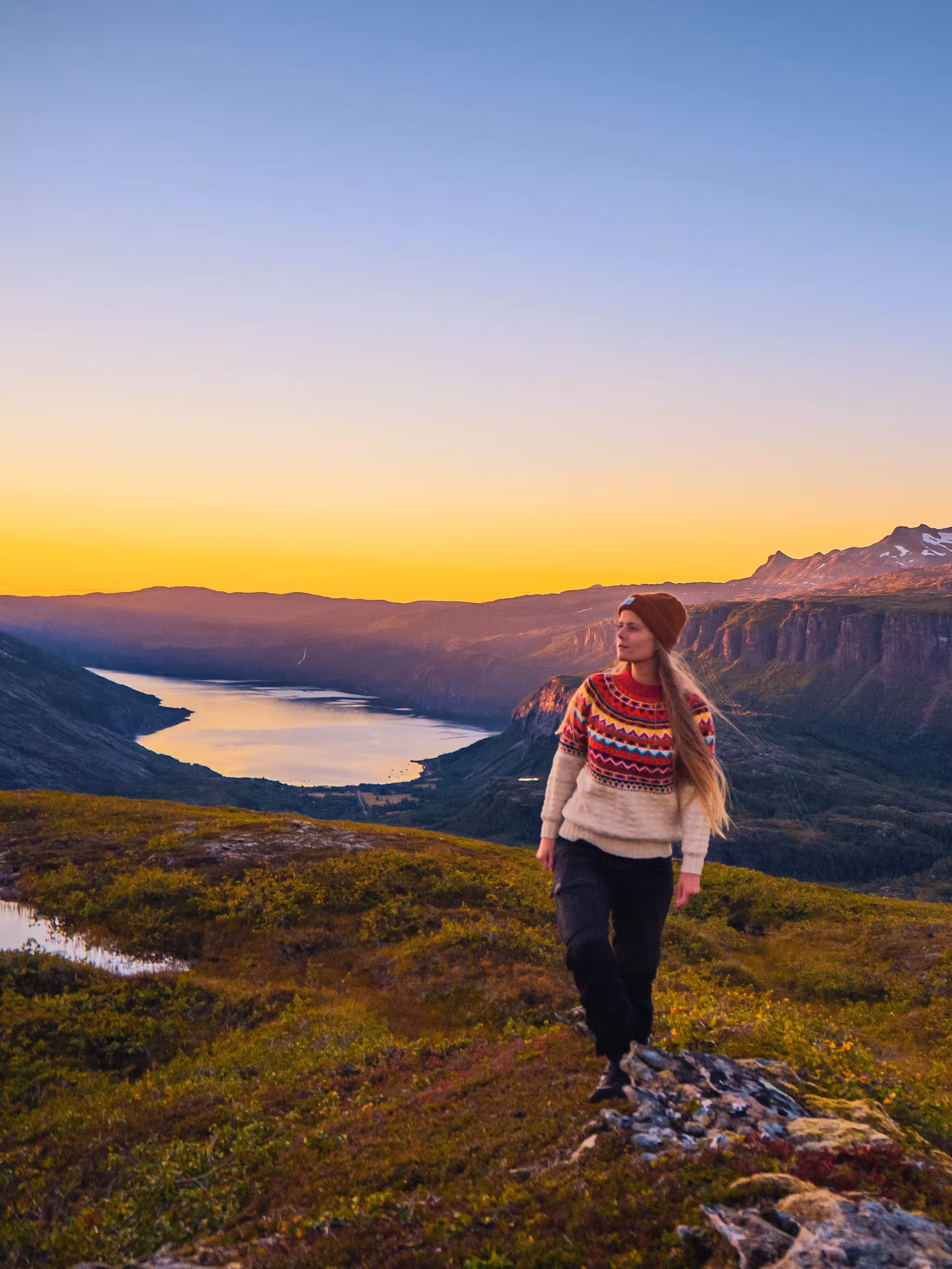
4. The longest route
If you are searching for a real expedition adventure, you should aim for one of the longest stretches – like this route between Femundsmarka National Park and West Cape, which is inspired by pro hiker Espen Andreas Nielsen's route. The walk is approximately 640 km long, and Espen did it in 53 days.
If you want even more challenges and experiences, a trip like this is perfect to combine with other activities, such as biking and canoeing. It just requires a little extra planning if you only want to use the canoe for parts of the trip, and need to send it back along the way.
More long distance hikes
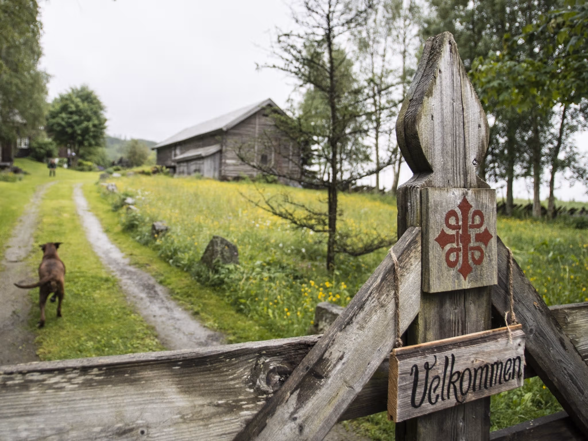
Do you love to walk? Experience the healing power of a pilgrimage! Walk through Norwegian culture, learn about Nordic history, and take part in a European tradition. Regardless of your spirituality, a pilgrimage is a journey in more sense than one.
You will find pilgrim paths all over Norway. The most popular are the nine St. Olav Ways, which all lead to the Nidaros Cathedral in Trondheim, where Saint Olav’s shrine has been the most important pilgrimage site in the Nordic countries since the Viking King Olav II Haraldsson was canonized in 1031. The nine paths to the shrine make up a total of approx. 3,000 kilometres of tranquil scenery and picturesque villages with a strong cultural heritage and delicious local food.
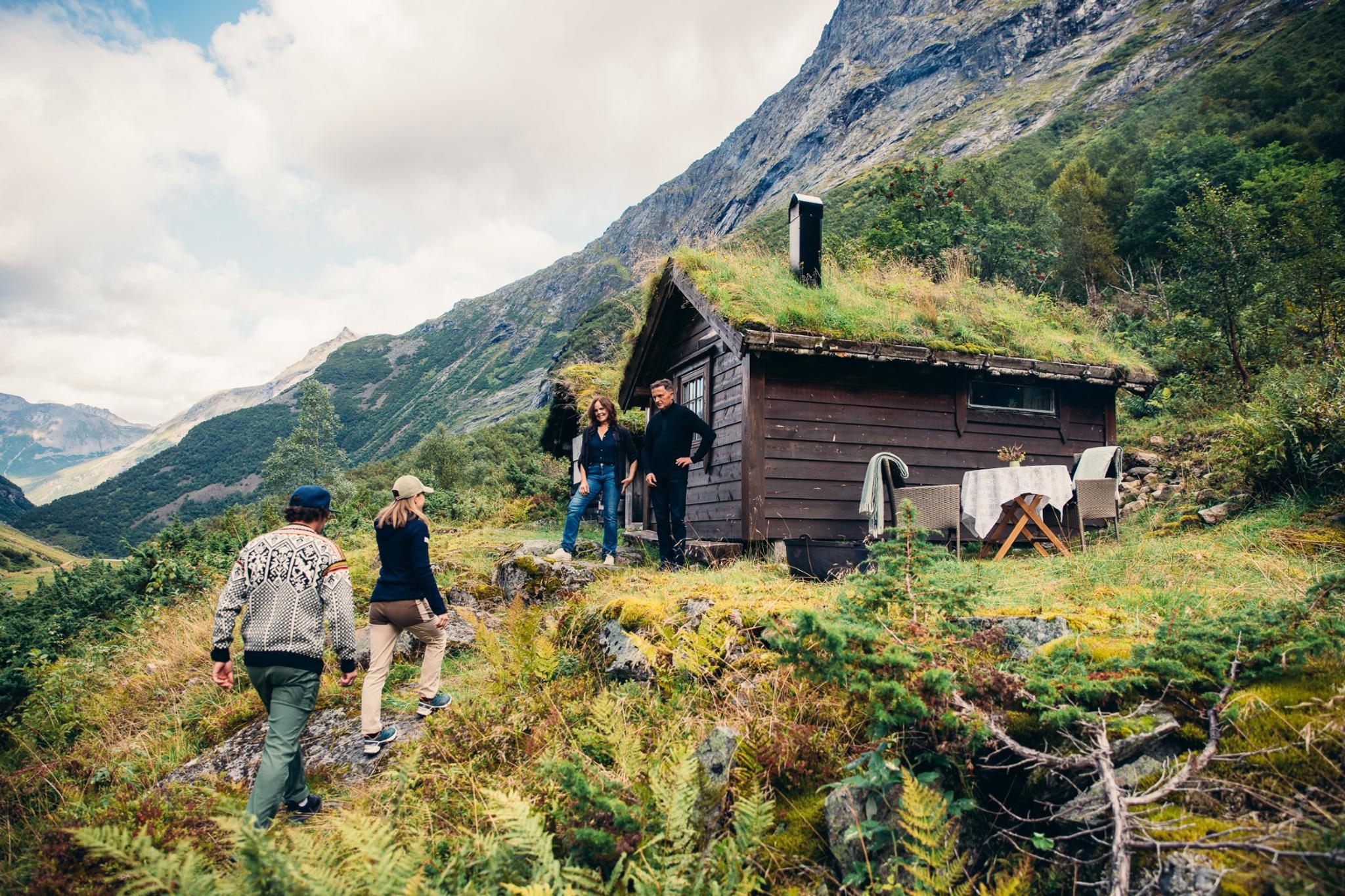
Practical hiking information
Get useful tips on everything from what to wear to how to behave in the Norwegian wilderness.
Responsible hiking
Find hikes all over Norway
Explore the map and find hiking suggestions in the area you are planning to visit.
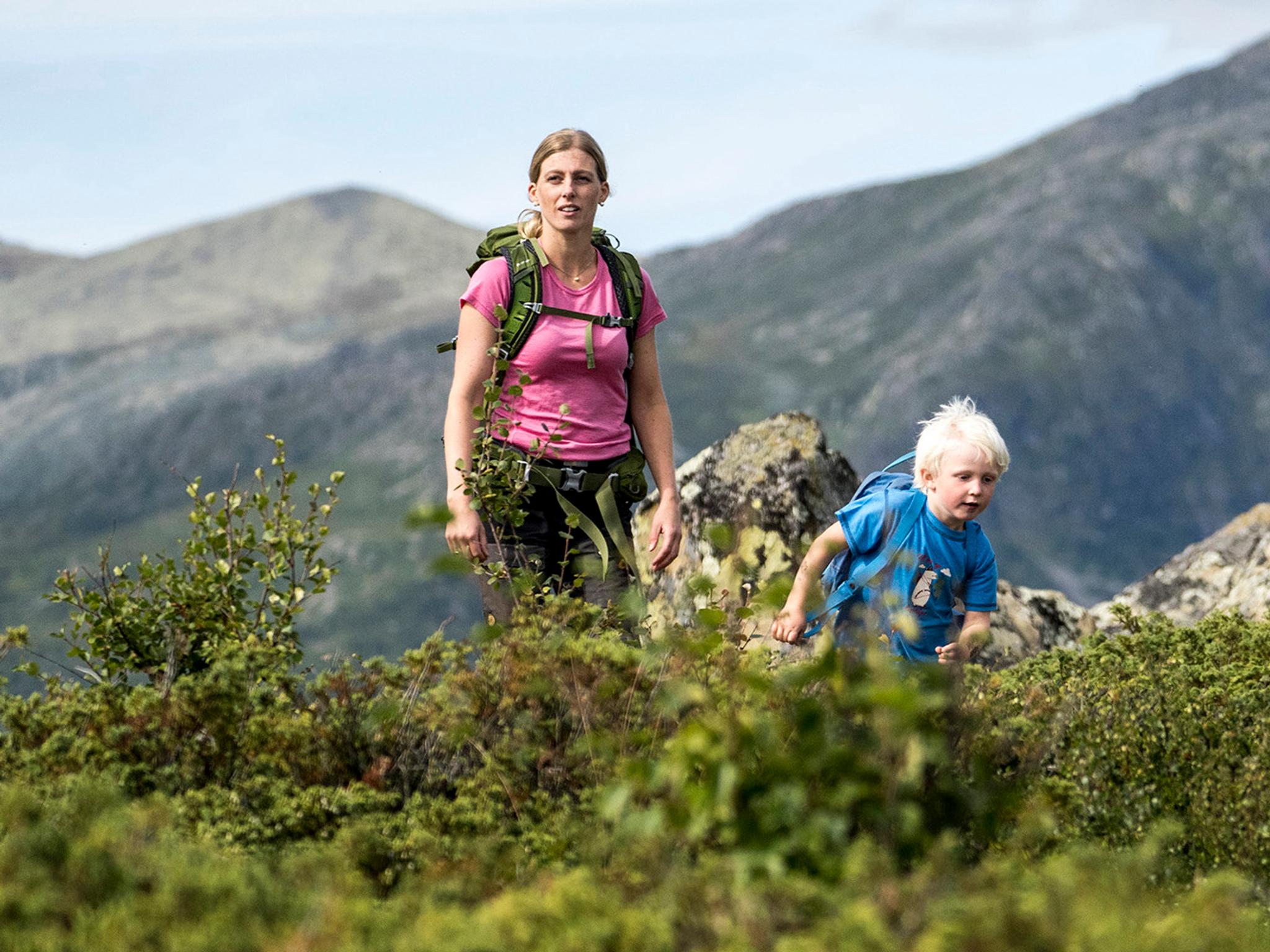
Different hikes for different folks
One of the best things about hiking is that everyone can do it! Find a hike that suits you.